|
| Interstate 81 leaves Onondaga Indian Reservation and enters the town of LaFayette. U.S. 11 remains close to the east. 05/09/05 |
|
| I-81 south expands with a truck climbing lane over Thomas Hill. 05/09/05 |
|
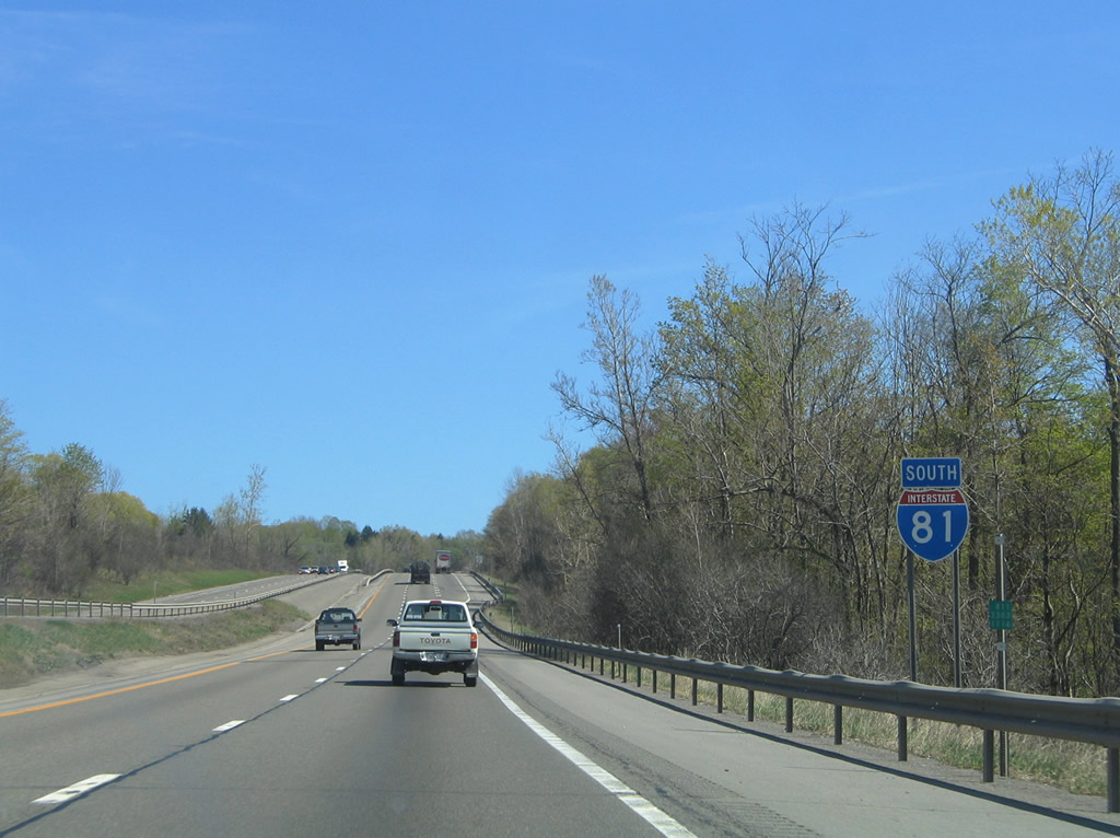
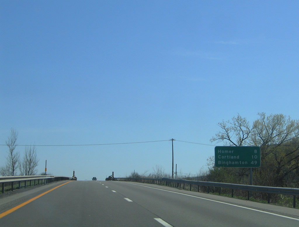
| A parclo interchange (Exit 15) joins Interstate 81 south with U.S. 20 near the LaFayette town center. 05/09/05 |
|
| U.S. 20 intersects U.S. 11 just east of Exit 15 en route to Pompey. West from I-81, U.S. 20 continues to NY 11A at Cardiff, Skaneateles and Auburn. 372.33 miles in length between Pennsylvania and Massachusetts, U.S. 20 is the third longest route in the state. 05/09/05 |
|
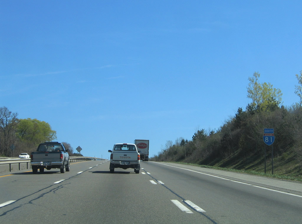
| The entrance ramp from U.S. 20 forms a short truck climbing lane. 05/09/05 |
|
| The succeeding exit from Interstate 81 south is for the town of Tully in five miles. 05/09/05 |
|
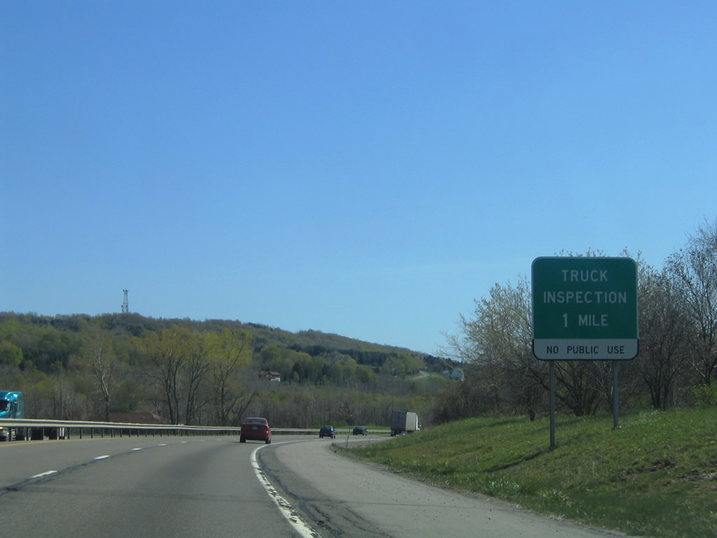
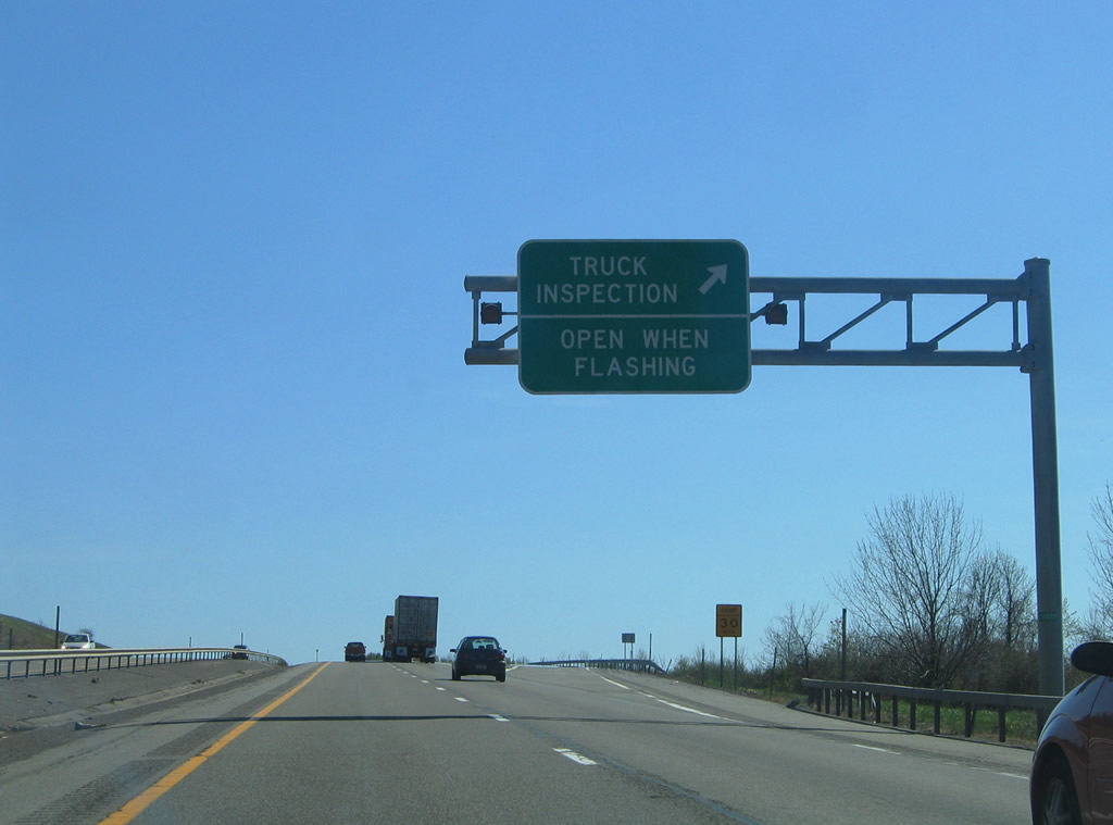
| Weigh stations (inspection stations) line both sides of Interstate 81 at the LaFayette and Tully town lines beyond milepost 71. 05/09/05 |
|
| Advancing south from the inspection station along the hill east of Tulley Valley. 05/09/05 |
|
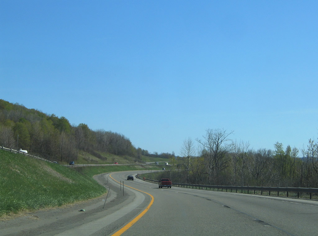
| Reassurance marker posted in the town of Tully south of the truck inspection area near Rainbow Creek. 05/09/05 |
|
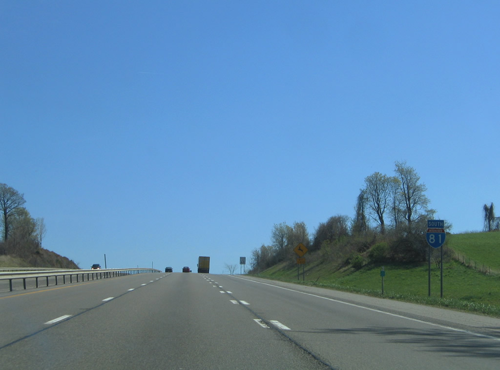
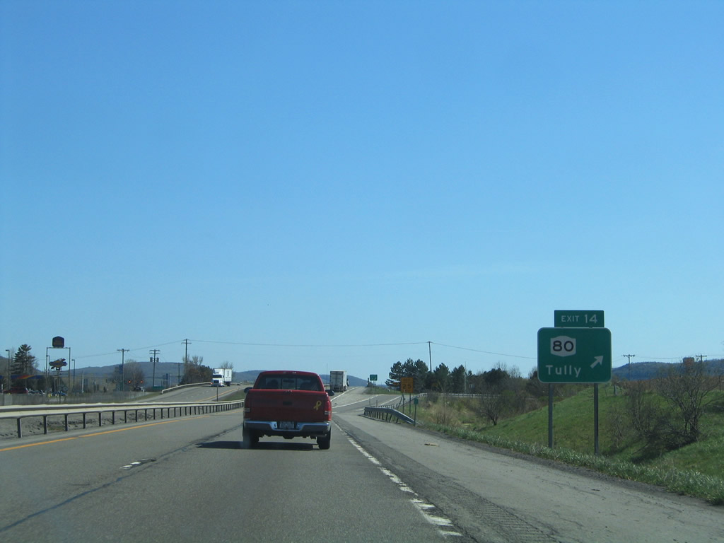
| NY 80 meets I-81 at a split diamond interchange (Exit 14) just west of Tully. NY 80 originates in Syracuse and travels to South Onondaga and U.S. 11 in Tully. The state route runs 127.22 miles to NY 5 in Nelliston. 05/09/05 |
|
| Exit 14 ties into adjacent NY 11A just north of NY 80 (Elm Street). NY 281 stems south from NY 80 along the east side of I-81 to Preble. 05/09/05 |
|
| The entrance ramp from NY 80 joins I-81 south from adjacent Lake Road (CR 134) near Green Lake. 09/27/09 |
|
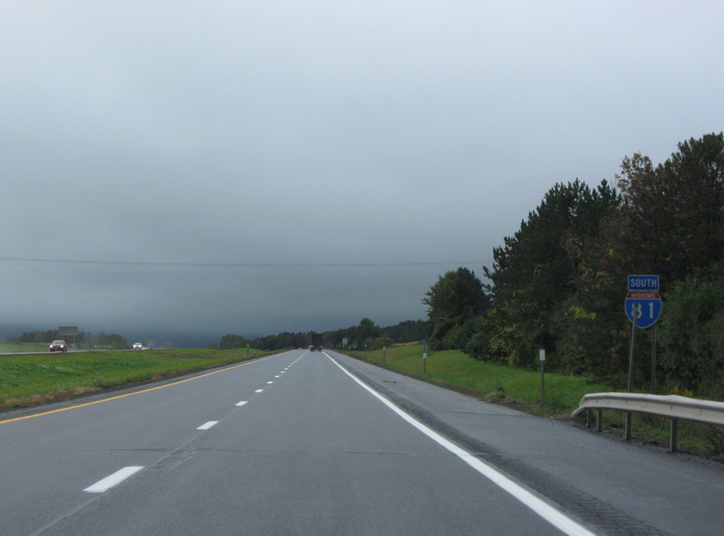
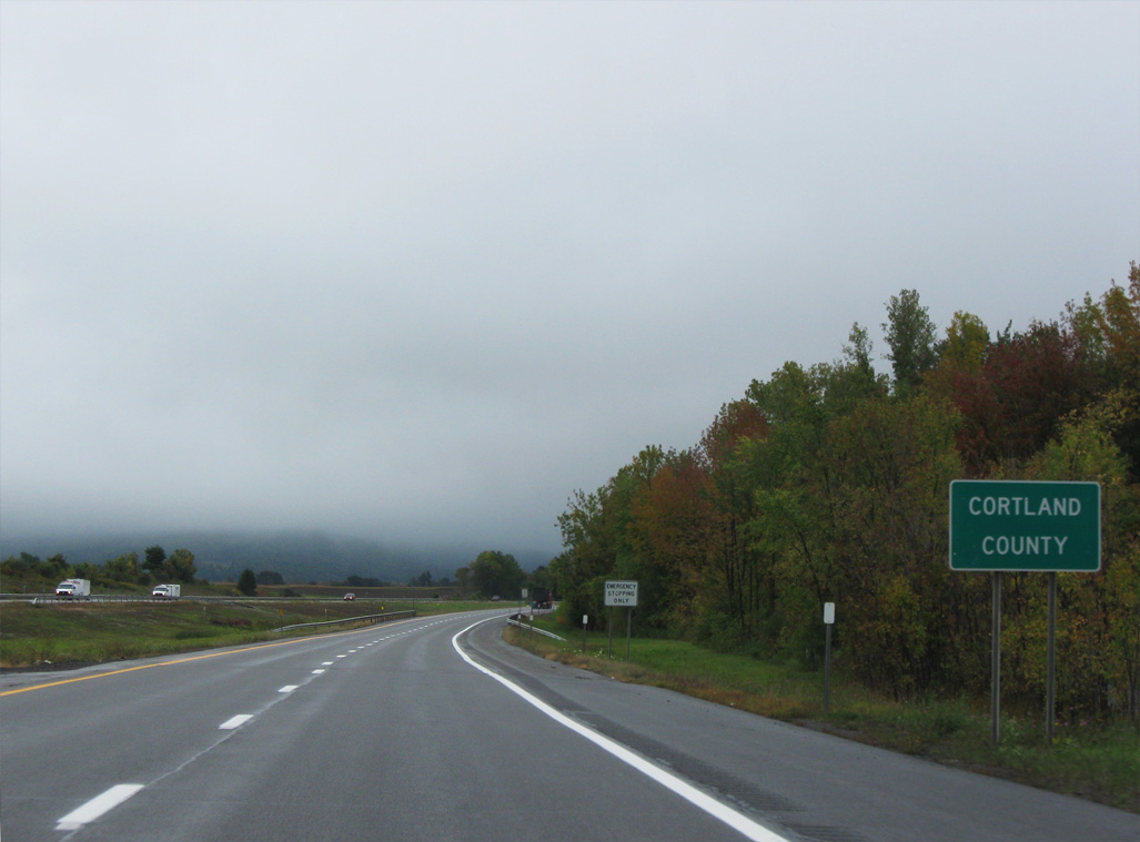
| I-81 proceeds south from NY 80 and Tully into Cortland County 09/27/09 |
|
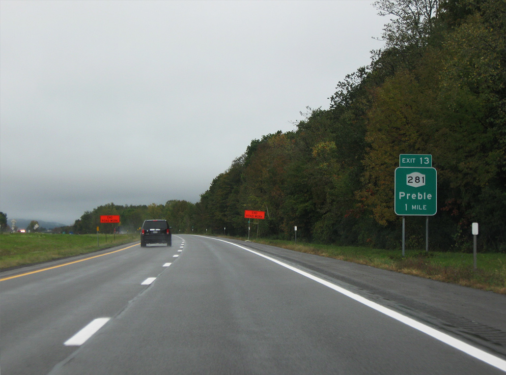
| NY 281 and Interstate 81 converge at a diamond interchange (Exit 13) in one mile. 09/27/09 |
|
| Remaining parallel to Interstate 81, NY 281 shifts to the west of the freeway from Exit 13 and the town of Preble to Little York and Cortland. 09/27/09 |
|
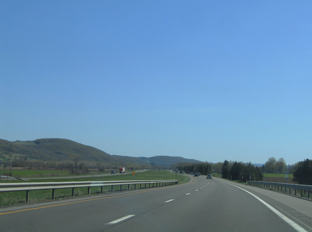
| Heading southward to Cortland, Interstate 81, U.S. 11, and NY 281 all travel in a valley east of Mount Toppin and west of Carl and East Hills. 05/09/05 |
|
| I-81 runs along a causeway east of Upper Little York Lake and west of Goodale Lake. 05/09/05 |
|
| Interstate 81 shifts eastward along East Hill to bypass the village of Homer. U.S. 11 crosses back to the west side of the freeway onto Main Street. 05/09/05, 09/27/09 |
|
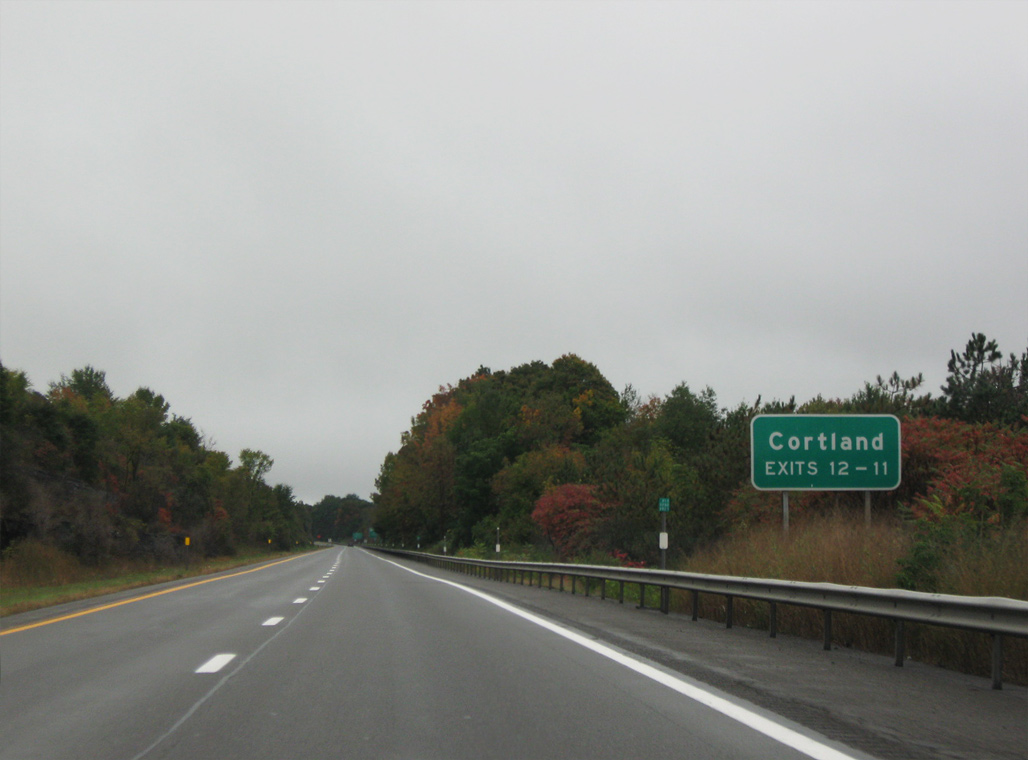
| The first of two connections for the Cortland County seat of Cortland on I-81 south is the trumpet interchange (Exit 12) for U.S. 11/NY 41 (S Main Street) and NY 281 (South West Street) at Homer. 09/27/09 |
|
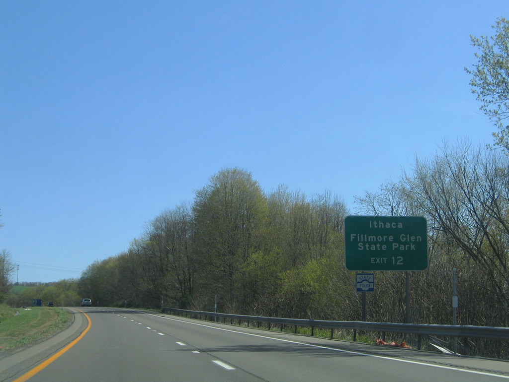
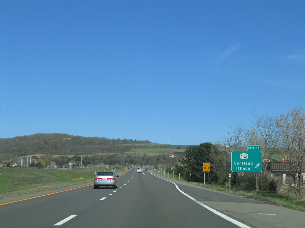
| An expressway spurs west from Exit 12 to NY 281 (S West Street) roughly along the Cortland and Homer town lines. NY 281 runs along the west side of Homer to NY 90 and Cortland to NY 13. NY 13 represents the main route to Ithaca and Elmira. NY 90 stems west to NY 38 near Fillmore Glen State Park. 05/09/05 |
|
| Albany Street passes over I-81 ahead of Exit 12. U.S. 11/NY 41 overlap for 5.46 miles along Main Street north to Homer and Homer Avenue south into Cortland. NY 90 previously accompanied the two routes before it was truncated to the northwest. 05/09/05 |
|
| Interstate 81 winds around East Hill into the city of Cortland ahead of NY 13 (Clinton Avenue). NY 13 joins Cortland with east Homer and Cazenovia to the northeast. 05/09/05 |
|
| I-81 curves east into the diamond interchange (Exit 11) with Clinton Avenue. 05/09/05 |
|
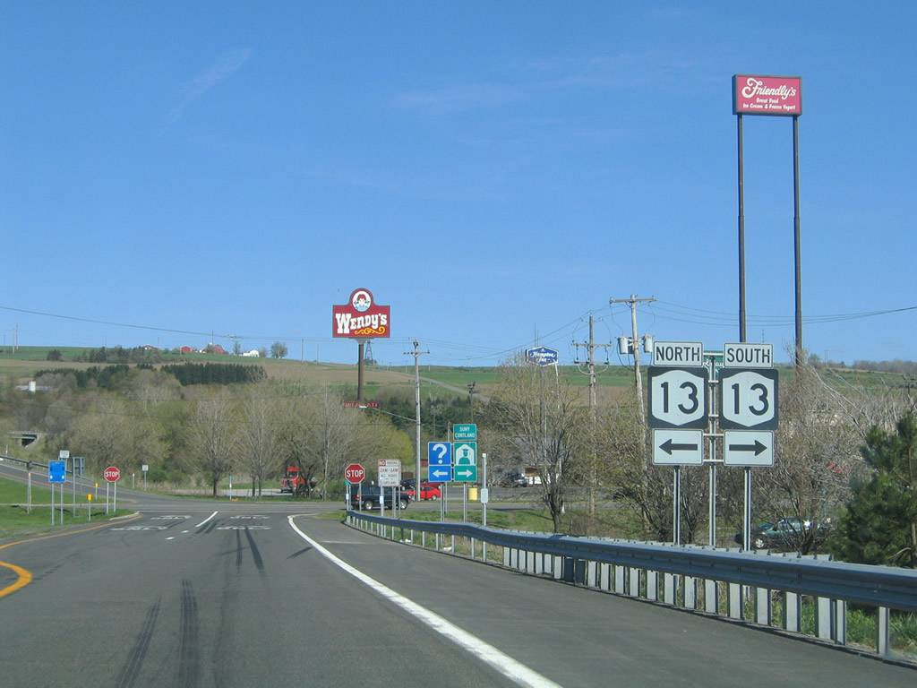
| NY 13 follows Clinton Avenue southwest from Exit 11 to a short overlap with U.S. 11/ NY 41 on Church Street. NY 222 stems west from U.S. 11/NY 41 to SUNY Cortland via Groton Avenue as well. 05/09/05 |
|
| NY 13 follows an arc-shaped alignment 152.61 miles between I-86/NY 17 at Horseheads and NY 3 at Port Ontario. Locally the route follows Port Watson Street and Tompkins Street west from U.S. 11/NY 41 (Church Street) to Munsons Corners and South Cortland. 05/09/05 |
|
| Spanning the East Branch of the Tioughnioga River along I-81 south ahead of the E River Road (CR 114) overpass. 05/11/05 |
|
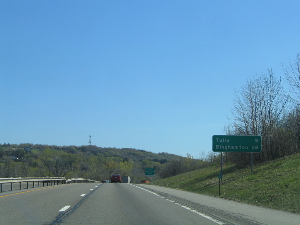
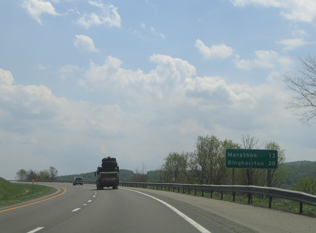
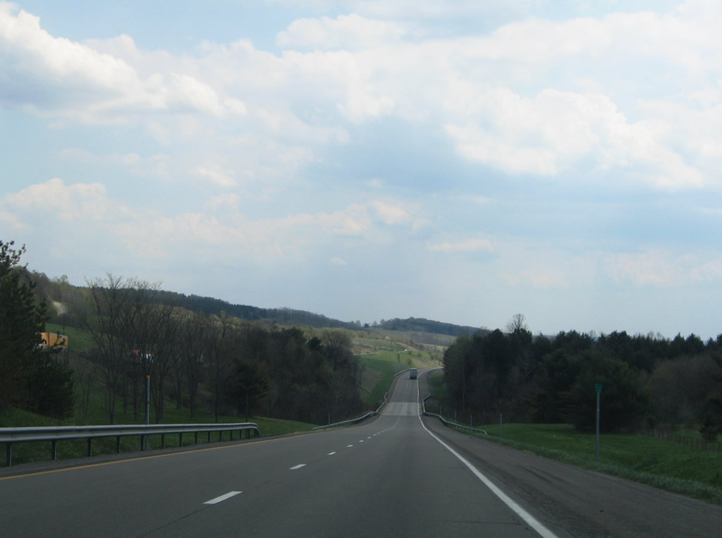
| 14 miles separate Cortland from Marathon via Interstate 81 south. 05/11/05 |
|
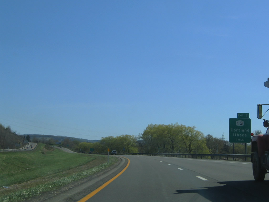
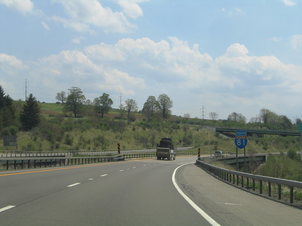
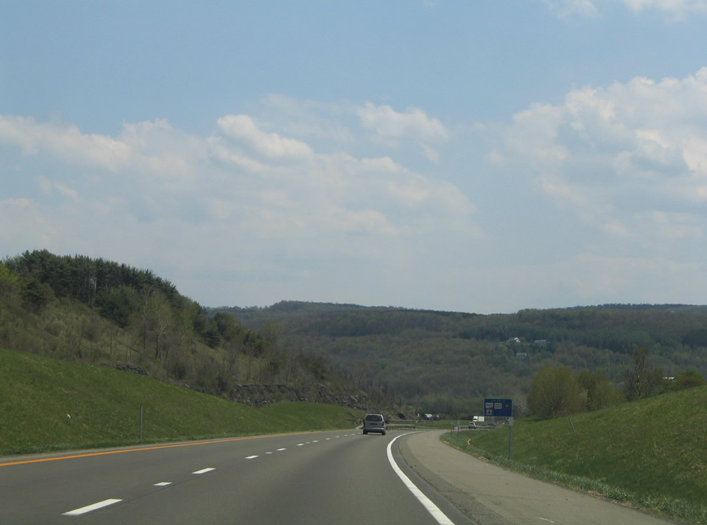
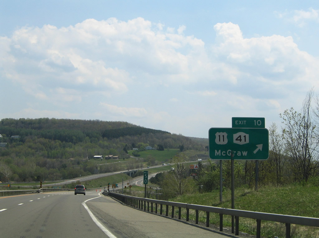
| U.S. 11/NY 41 cross the Tioughnioga River and travel 1.5 miles to their split at a folded diamond interchange (Exit 10) with Interstate 81. 05/11/05 |
|
| Interstate 81 lines Carr Hill ahead of Exit 10. Hicks and South Hill rise along the eastern horizon. 05/11/05 |
|
| Exit 10 loops away from I-81 south onto U.S. 11 just south of NY 41. NY 41 heads east to the village of McGraw and the town of Solon. U.S. 11 continues south along the Tioughnioga to Messengerville. 05/11/05 |
|
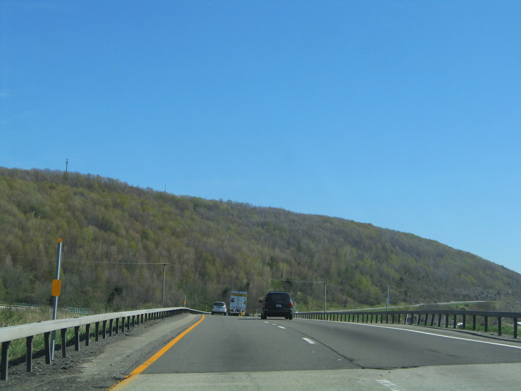
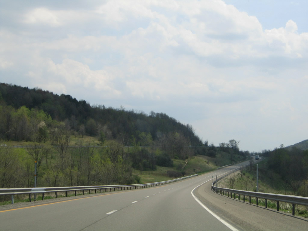
| A truck climbing lane opens along Interstate 81 south on South Hill. 05/11/05 |
|
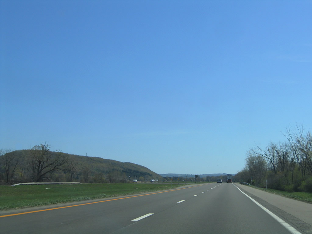
| Following the hills east of U.S. 11 and the Tioughnioga River, Interstate 81 travels alongside Hoxie Gorge State Forest through the town of Virgil. 05/11/05 |
|
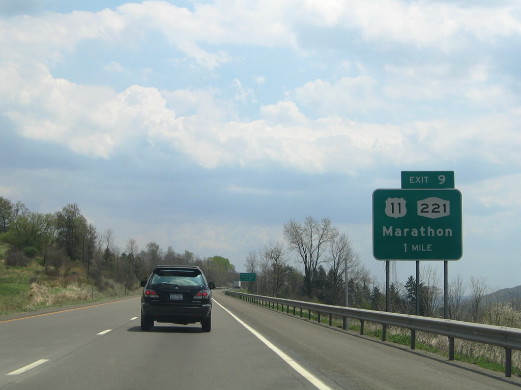
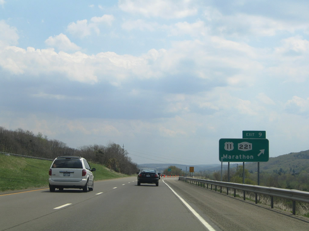
| U.S. 11 and Interstate 81 come together again at a split diamond interchange (Exit 9) with NY 221 in Marathon. 05/11/05 |
|
| Exit 9 lowers to parallel U.S. 11 (Cortland Street) ahead of NY 221 (Main Street). NY 221 is a 18.71 mile state route leading west to NY 38 at Harford and east to NY 26 and NY 41 at Willet. 05/11/05 |
|
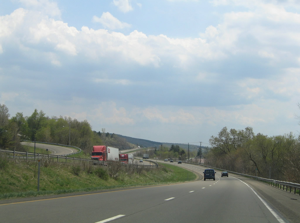
| Interstate 81 navigates along an S-curve through the town of Marathon. 05/11/05 |
|
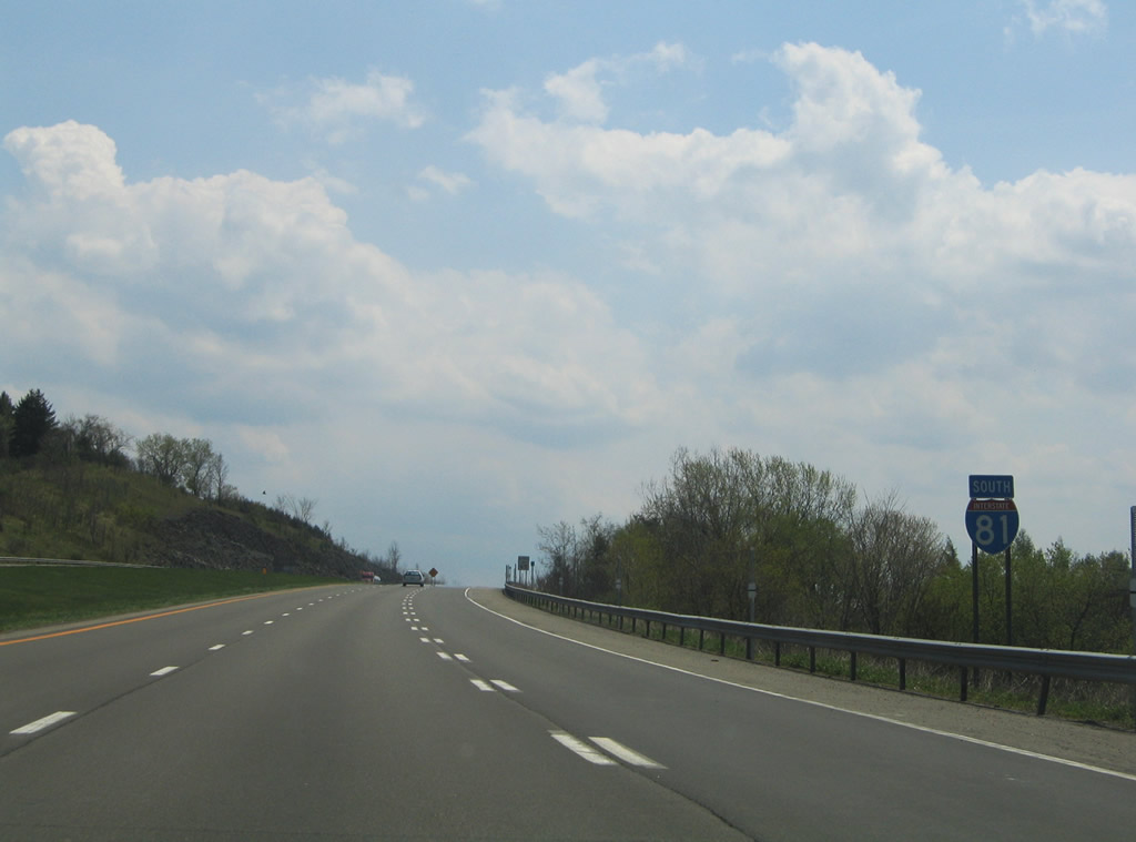
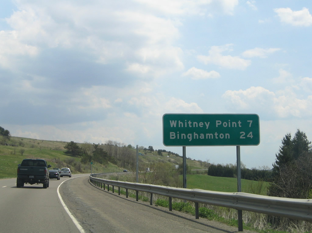
| I-81 continues another seven miles to the first Broome County exit at Whitney Point. 05/11/05 |
Page Updated 03-03-2020.

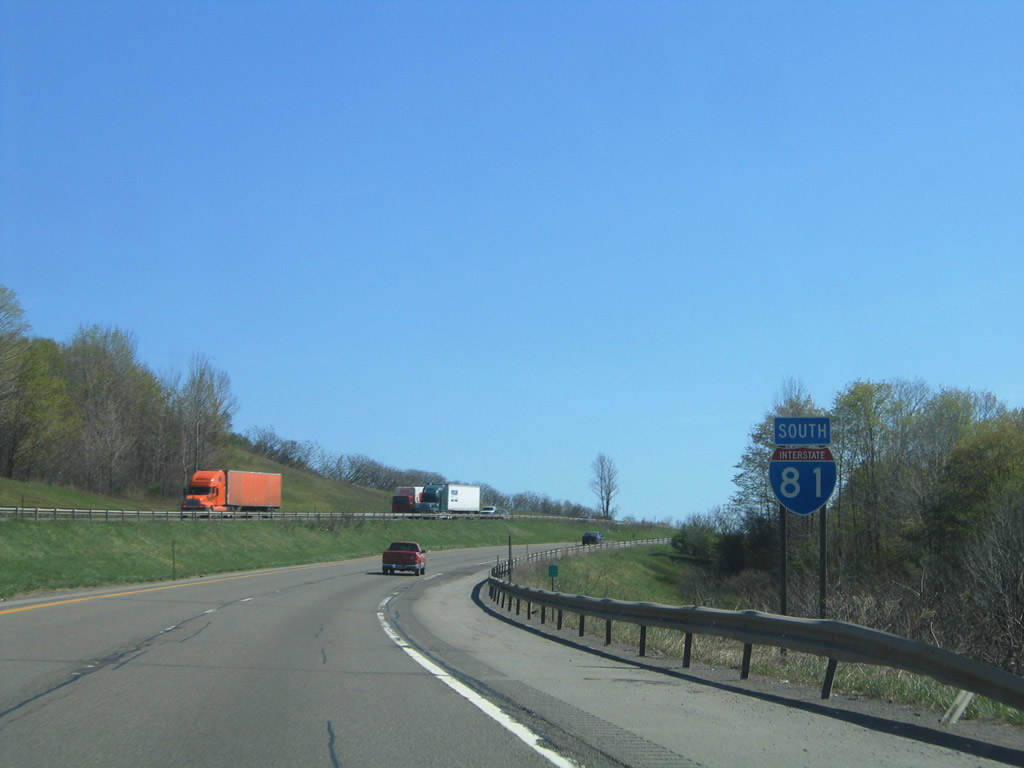
 South
South