SH 290 is a 24.36 mile loop south from IH 10 in West Texas. The rural highway serves the unincorporated community of Sheffield in east Pecos County and Fort Lancaster State Historic Site in west Crocket County. SH 290 was established in January 1992 over what was U.S. 290.
|
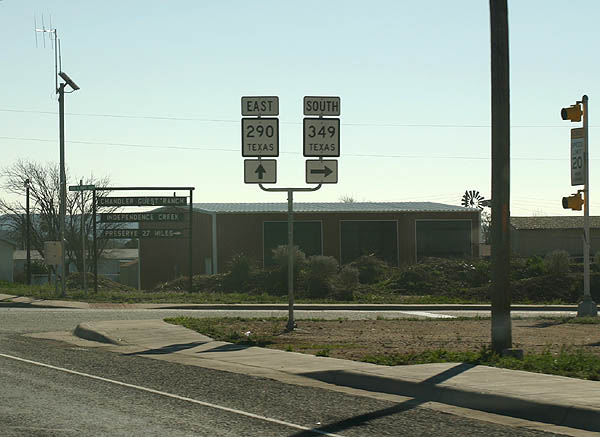
| SH 290 & 349 overlap southward from IH 10 along a winding road. The tandem arc west from the Pecos River valley and turn south on the approach to Sheffield. 02/28/05 |
|
| SH 349 partitions with SH 290 (Main Street) east and heads south 56 miles to Dryden. 02/28/05 |
|
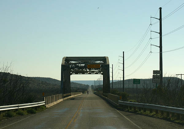
| 3.7 miles southeast of Sheffield, SH 290 spans the Pecos River across a 1933-built Parker through truss bridge. The 940 foot long span is just 22.0 feet wide.1 02/28/05 |
|
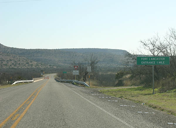
| The entrance to Fort Lancaster State Historic Site lies less than a mile east of Live Oak Draw along SH 290. 02/28/05 |
|
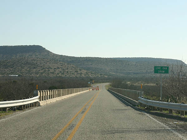
| Traveling east 3.7 miles into Crockett County, SH 290 crosses Live Oak Draw. The 1933 bridge pictured here was replaced in 2008. 02/28/05 |
|
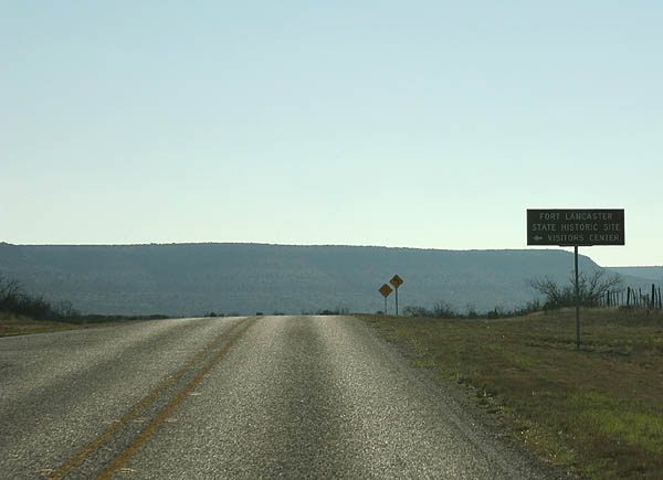
| Eastbound SH 290 at Fort Lancaster State Historic Site. The 82-acre park was the site of a post established in the 1850s along the San Antonio-El Paso Road leading west to California. 02/28/05 |
|
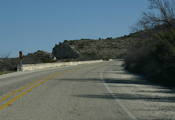
| SH 290 navigates through a sweeping curve and climbs steeply onto Lancaster Hill. 02/28/05 |
|
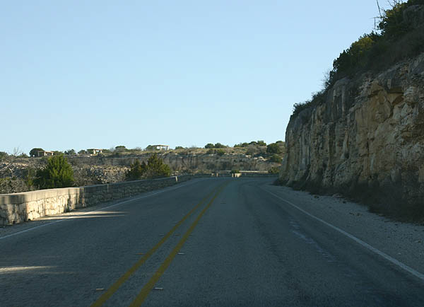
| A picnic area located at the top of Lancaster Hill doubles as a scenic overlook for the Pecos River valley spreading to the southwest. 02/28/05 |
Page Updated 01-30-2018.