|
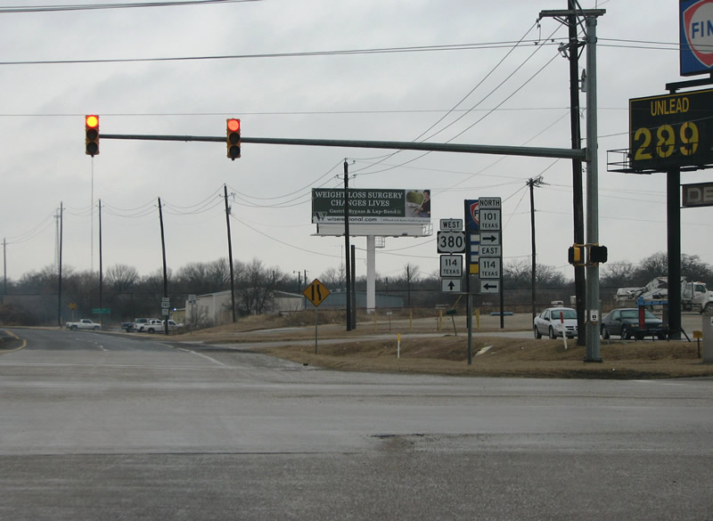
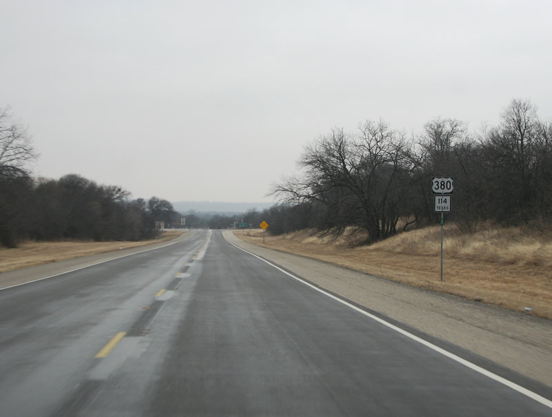
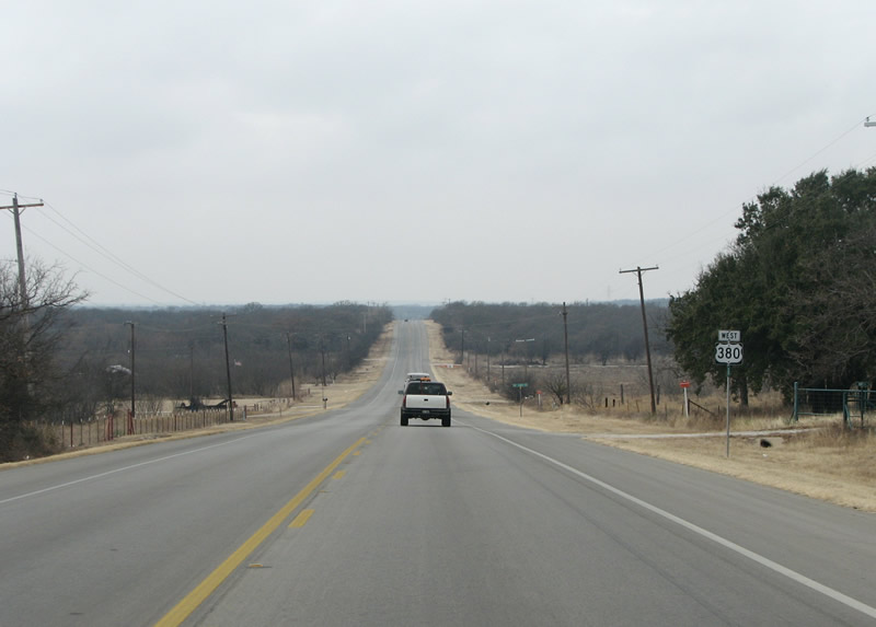
| U.S. 380 converges with SH 101 south and SH 114 north on the northwest side of Bridgeport. SH 114 originates in Dallas and extends west all the way to New Mexico. SH 101 travels 25.53 miles north to Chico, U.S. 81/287 and Bowie. 01/25/08 |
|
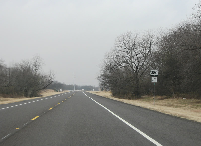
| West from Bridgeport, SH 114 combines with U.S. 380 through the scrubby country side toward Jacksboro. 01/25/08 |
|
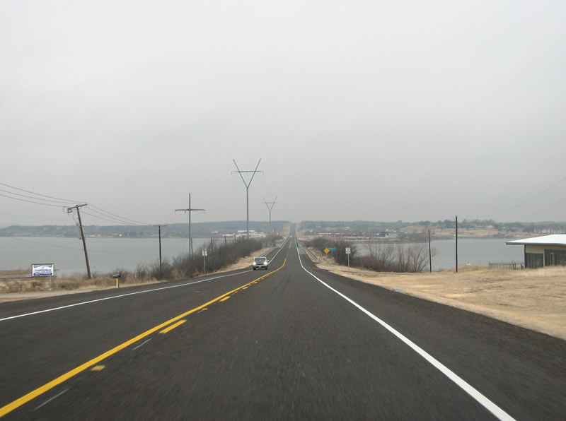
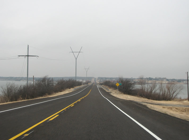
| Lake Bridgeport sits just to the west of the city of Bridgeport. U.S. 380/SH 114 crosses the lake at one of its narrowest points. The city of Runaway Bay, a small resort community, lines the west side of the lake here. 01/25/08 |
|
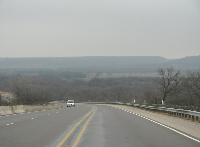
| West of the lake, US 380 begins its climb into the Palo Pinto Hills. The hills mark one of the boundaries between the Gulf Coastal Plain and the Great Plains. 01/25/08 |
|
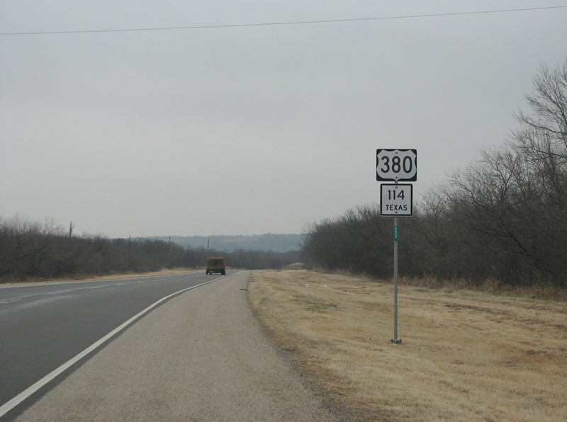
| U.S. 380/SH 114 wind through eastern Jack County toward FM 1156. 01/25/08 |
|
| The Palo Pinto Hills extend southward past IH 20, providing many great views and recreational opportunities. 01/25/08 |
|
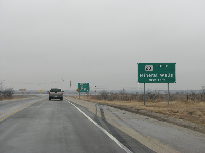
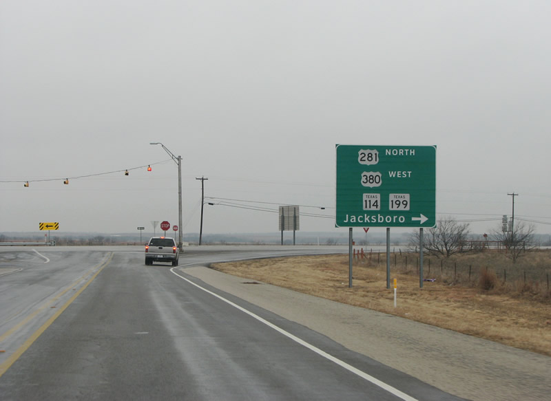
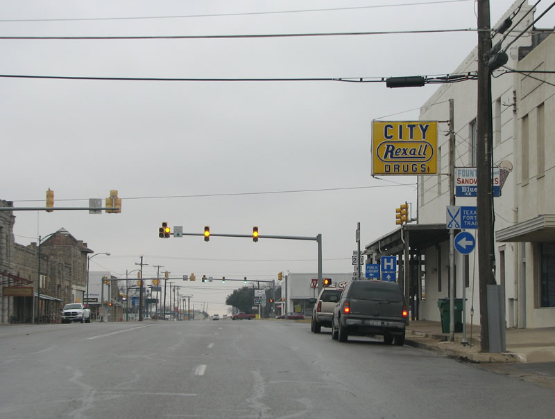
| The first major intersection west of Bridgeport is with U.S. 281. U.S. 281 runs throughout the center of Texas, eventually becoming a major freeway in San Antonio. 01/25/08 |
|
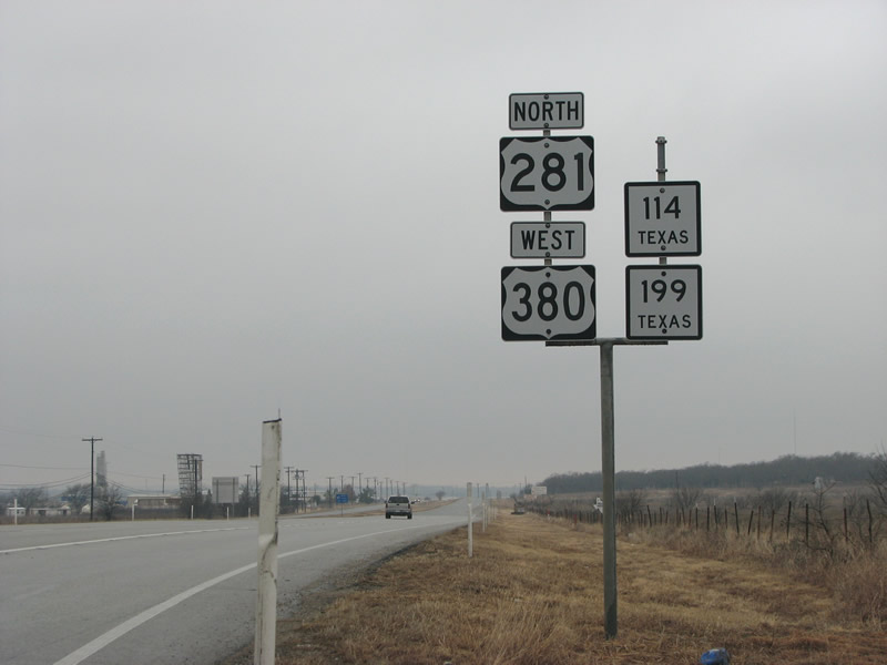
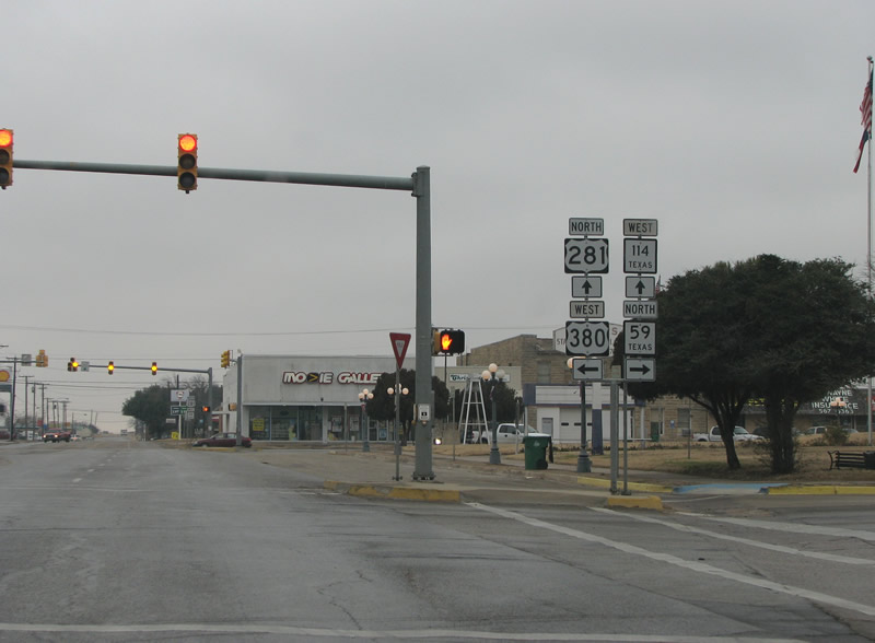
| U.S. 380/SH 114 west combine with U.S. 281/SH 199 north from a T-intersection into Jacksboro. 01/25/08 |
|
| U.S. 281/380 and SH 114/199 overlap 2.51 miles northward to Belknap Street in Downtown Jacksboro. 01/25/08 |
|
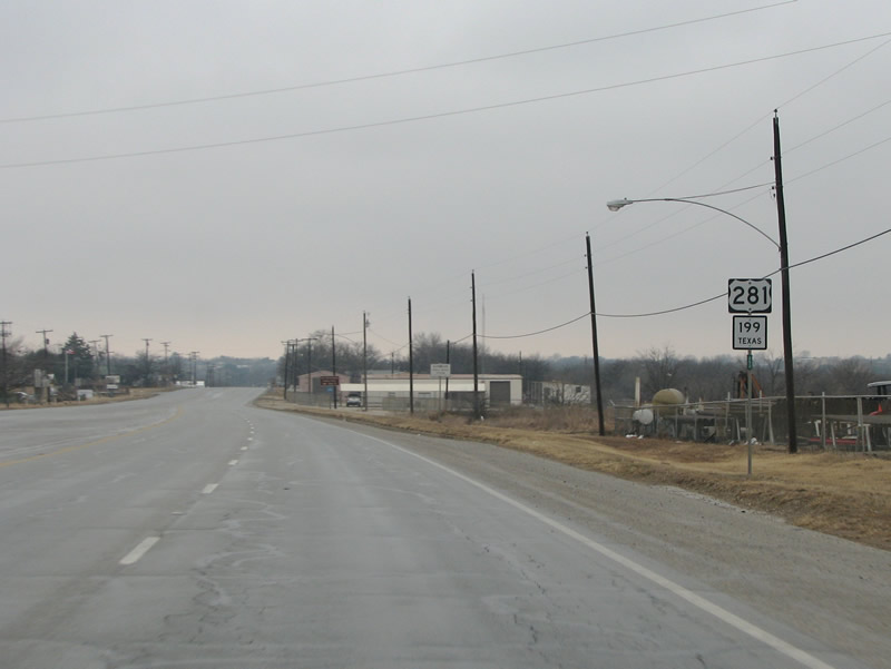
| A number of industrial businesses line the five lane boulevard along U.S. 281/380 & SH 114/119 through southeast Jacksboro. 01/25/08 |
|
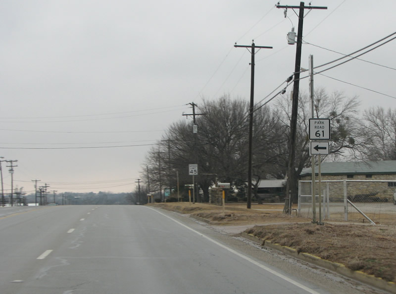
| Park Road 61 spurs west to Fort Richardson State Park. The fort was built in 1870 to ward off Indian attacks on settlers. 01/25/08 |
|
| Continuing to Downtown Jacksboro, U.S. 380 west and 281 north cross Halls Branch onto South Main Street. Located in one of the few counties in the state to vote against secession, Jacksboro was the most westward settlement in Texas still standing after the Civil War. 01/25/08 |
|
| U.S. 380 turns towards the west at the square in Downtown Jacksboro, while the other highways continue northward. SH 59 ties into Main and Belknap Streets from Bowie Street to the east. SH 59 travels northeast to U.S. 287. 01/25/08 |
|
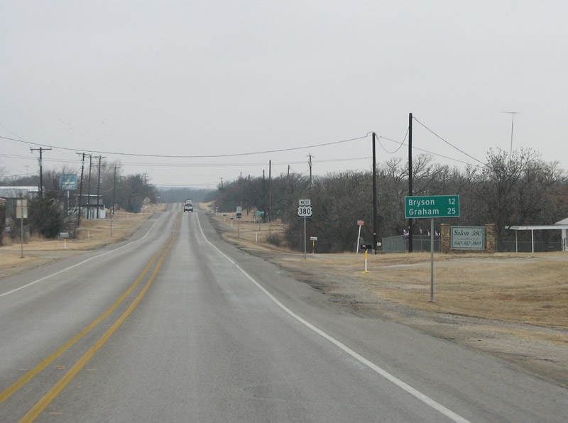
| Angling southwest from Jacksboro, U.S. 380 narrows back into a two lane highway. FM 4 branches south from U.S. 380 ahead of this distance sign posted 12 miles from Bryson. 01/25/08 |
|
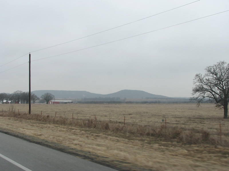
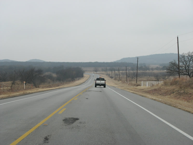
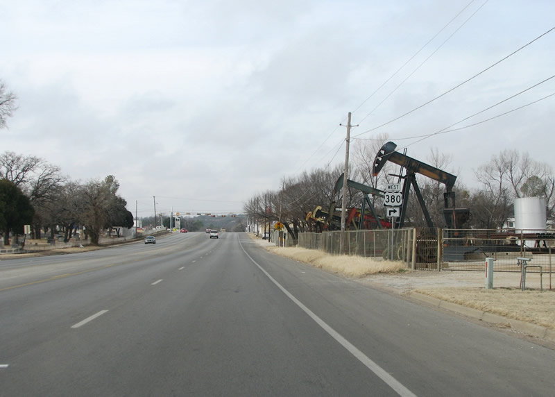
| The views to each side of US 380 in Jack County feature hilly country, with farms, ranches, cattle and horses. While not with substantial elevation changes, this area of Texas is definitely not flat. 01/25/08 |
|
| U.S. 380 continues through very rural country along a lightly traveled route with just 2,534 vehicles per day recorded by TxDOT along this stretch in 2017. 01/25/08 |
|
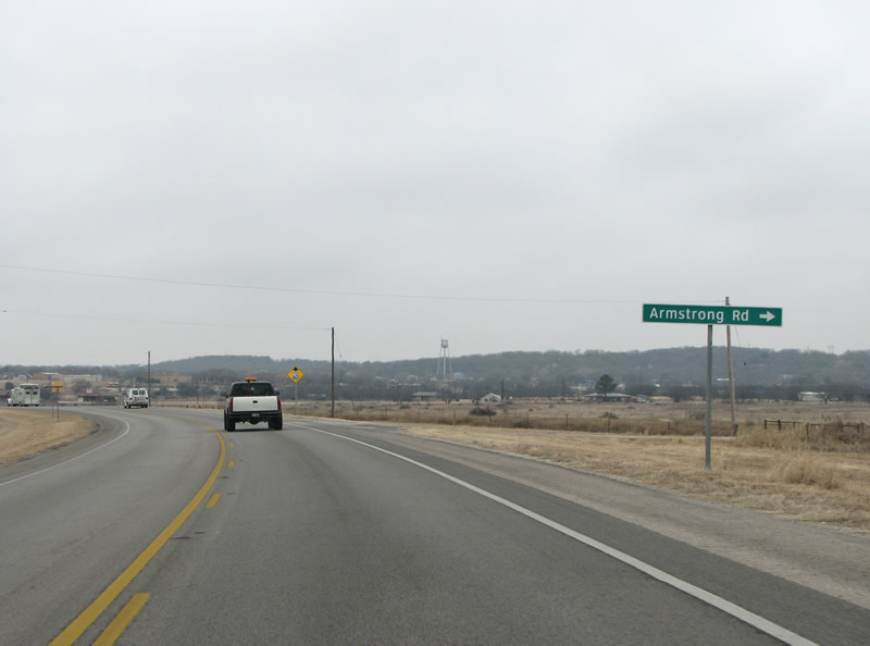
| The rural city of Bryson appears on the horizon at Armstrong Road. The town was originally called Mount Hecla, after a local geographic feature. It was changed to Bryson in 1884, named for an early settler. 01/25/08 |
|
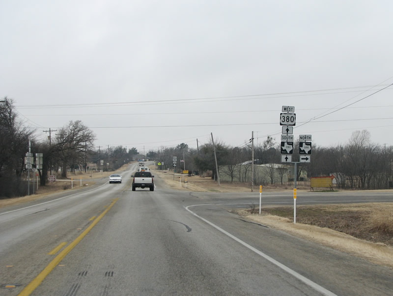
| U.S. 380 (Dempsey Street) meets FM 1191 on the east side of Bryson. The FM road runs 6.97 miles northward through the hills to SH 114, where it dog legs east and extends another 6.84 miles to U.S. 281. 01/25/08 |
|
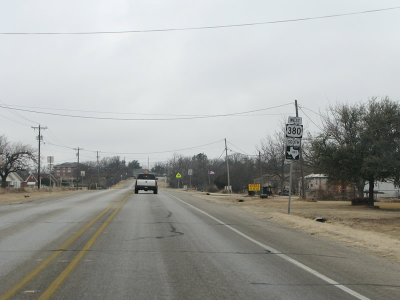
| Entering the Bryson street grid, U.S. 380 west & FM 1191 south overlap 0.49 miles to Depot Street. 01/25/08 |
|
| FM 1191 branches south from U.S. 380 (Dempsey Street) in Downtown Bryson. FM 1191 traverses hilly terrain southward between Ross and Bear Mountains 13.13 miles to SH 16 near Possum Kingdom Lake. 01/25/08 |
|
| Confirming shield for U.S. 380 posted along Dempsey Street west of FM 1191 (Depot Street) in Bryson. 01/25/08 |
|
| Shifting southward through west Bryson, U.S. 380 meets FM 3209. FM 3209 spurs 1.99 miles south to Cement Mount Road, which leads onto Cement Mountain, formerly the home of a cement plant. 01/25/08 |
|
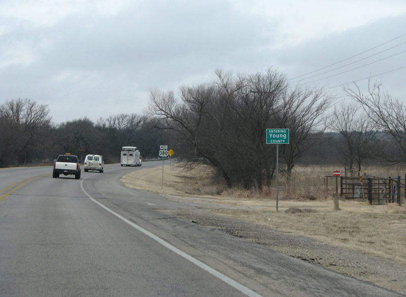
| One of Texas' square counties, Young County was named for a military Colonel. Most of the county is rural, with cattle and cotton representing the two largest industries here. 01/25/08 |
|
| The terrain flats out somewhat as U.S. 380 leads southwest from FM 2075 toward Graham. This reassurance marker stands by the intersection with Albert Road. 01/25/08 |
|
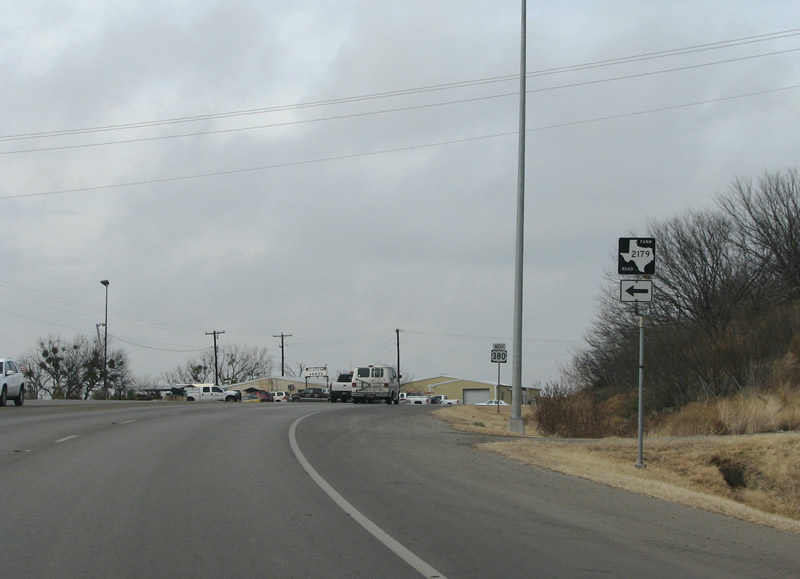
| U.S. 380 reaches the Graham city limits at Graham Municipal Airport (RPH) and FM 2179 (4th Street). The 6.21 mile long FM road angles southwest along 4th Street and then southeast along Finis Road to hills north of Haynes Mountain. 01/25/08 |
|
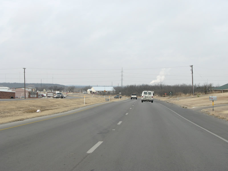
| U.S. 380 expands to four lanes from FM 2179 (4th Street) across the north side of Graham. The city is surrounded by low hills and has around 9,000 inhabitants. Rex Brown, the bassist for the band Pantera, is from here. 01/25/08 |
|
| Cliff Road extends north from FM 2179 (4th Street) to intersect U.S. 380 at FM 3491. FM 3491 provides a 0.486 mile link to SH 16 north. 01/25/08 |
|
| U.S. 380 advances west from FM 3491 along a five lane boulevard and parallels SH 16 beyond the old Chicago, Rock Island and Pacific Railroad grade at Mesquite Street. 01/25/08 |
|
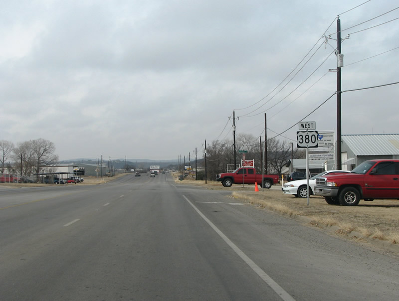
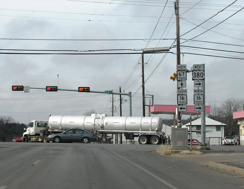
| SH 16, SH 67 and U.S. 380 converge at 7th and Elm Streets north of the Graham city center. Much of the retail in town is on the south side, past the quaint downtown along SH 16. 01/25/08 |
|
| U.S. 380 briefly combines with SH 16 (Elm Street) north on the exit of Graham. Running from Wichita Falls in the north all the way to the Mexican border at Zapata, SH 16 is one of the most important state highways in Texas. SH 67 connects Graham with U.S. 190 and Breckenridge along a 30.63 mile course. 01/25/08 |
|
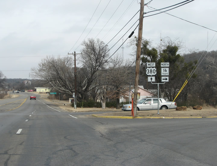
| SH 16 immediately branches northeast from U.S. 380 beyond 7th Street toward Wichita Falls. 01/25/08 |
Page Updated 07-30-2019.

 West
West