
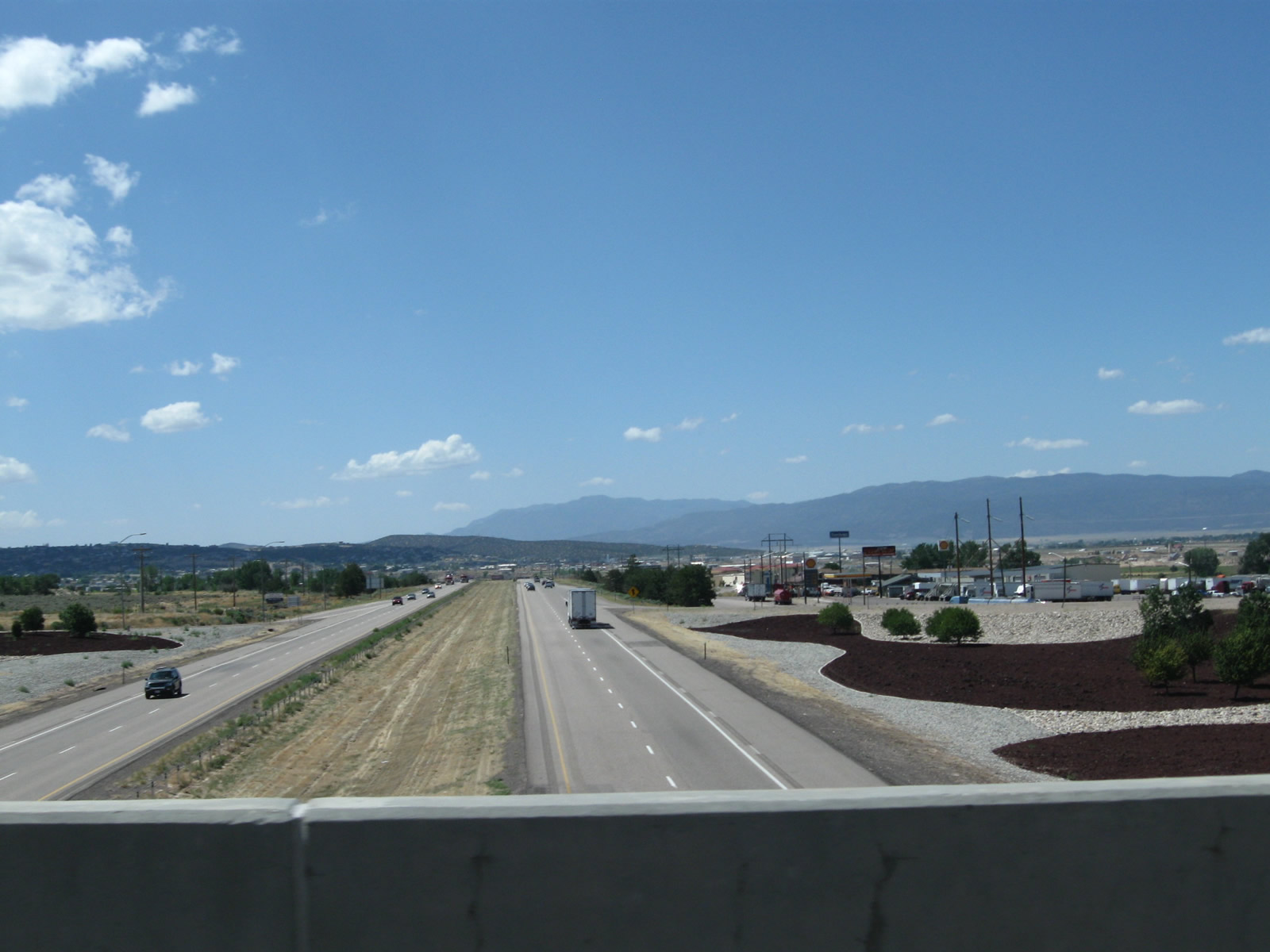
Interstate 15 south from the Business Loop I-15/SR 130 overpass at the North Cedar City Interchange. Including decorative rock art, the exchange was completed in 2002. 08/20/11
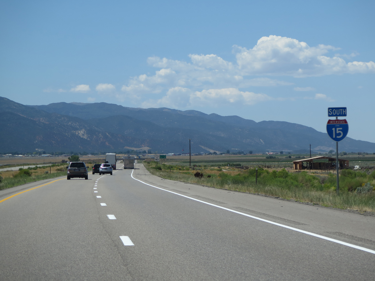
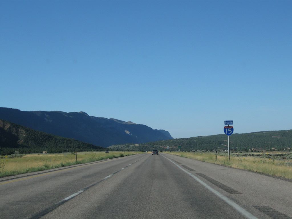
 South
South
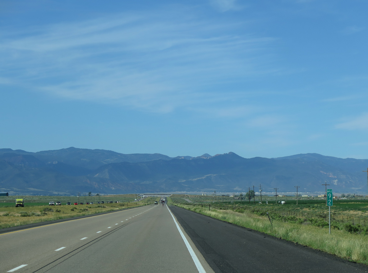
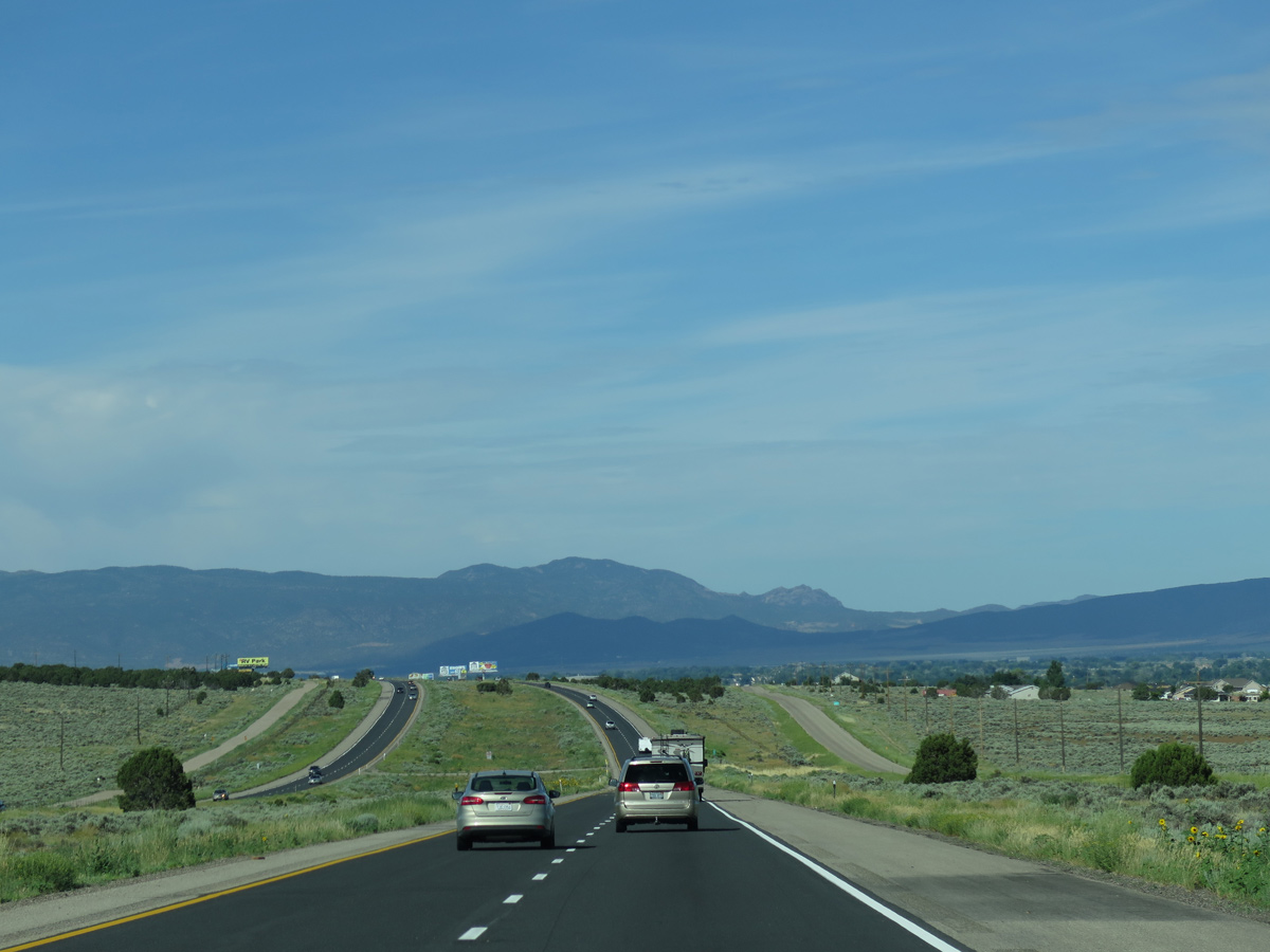
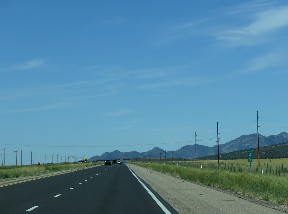
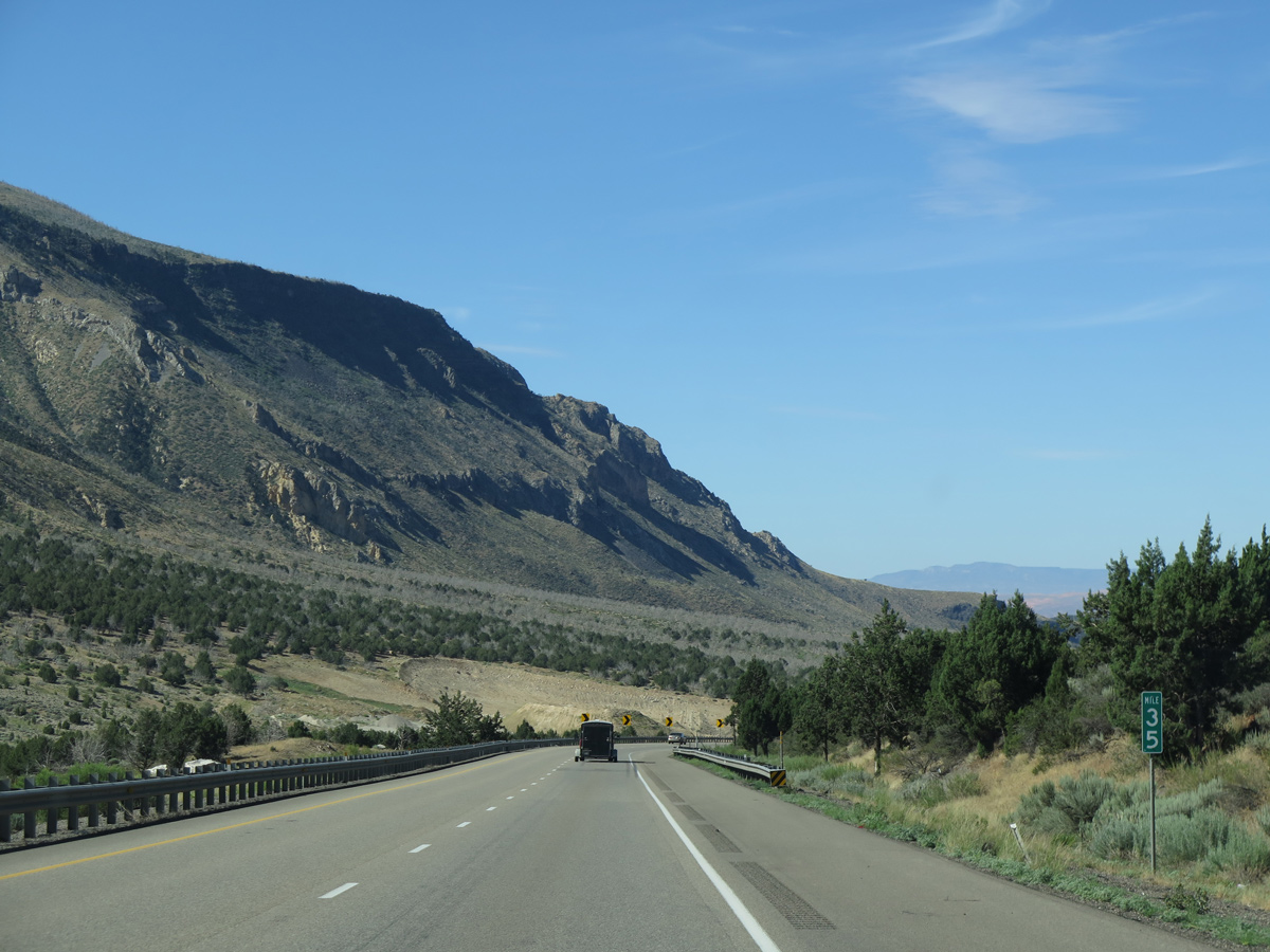
Interstate 15 proceeds south from SR 20 across Buckhorn Flat.
08/17/13
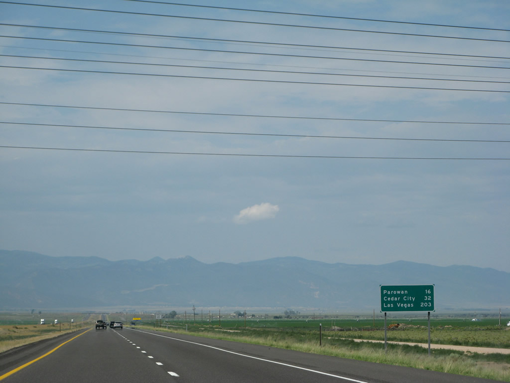
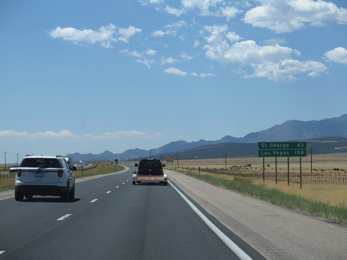
Located 16 miles ahead, the Iron County seat of Parowan lies toward the south end of Parowan Valley.
07/13/08
07/12/15
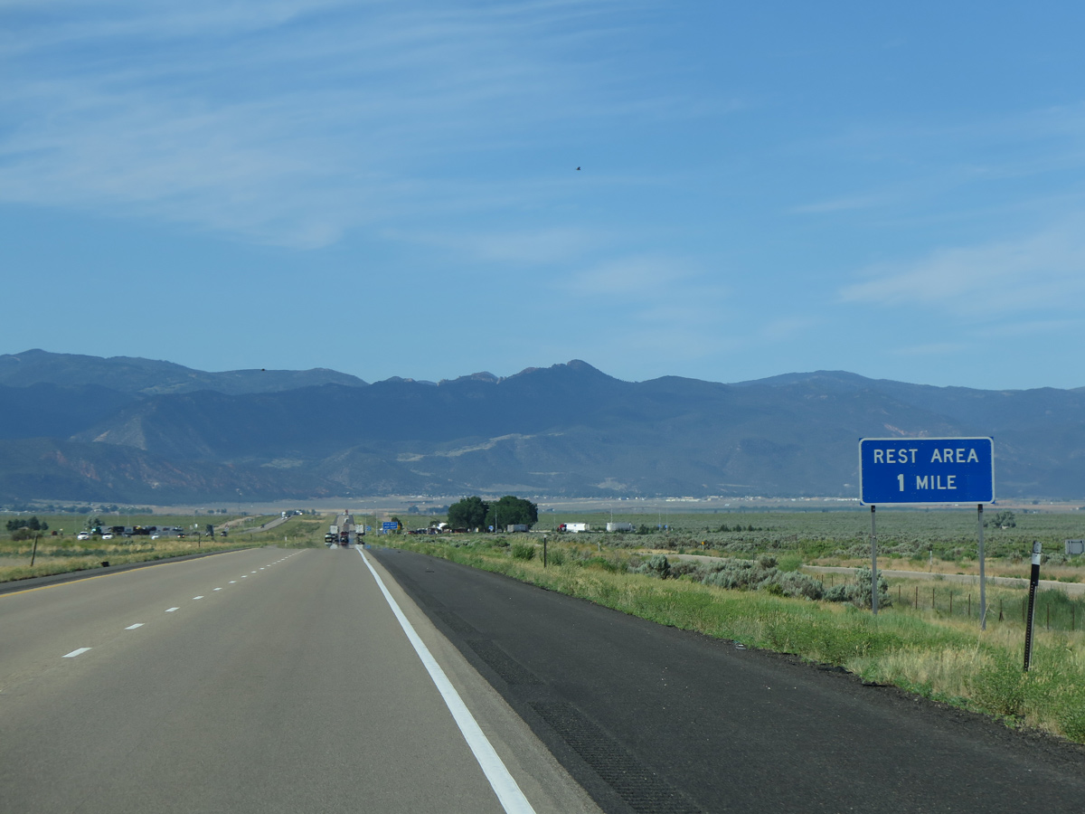
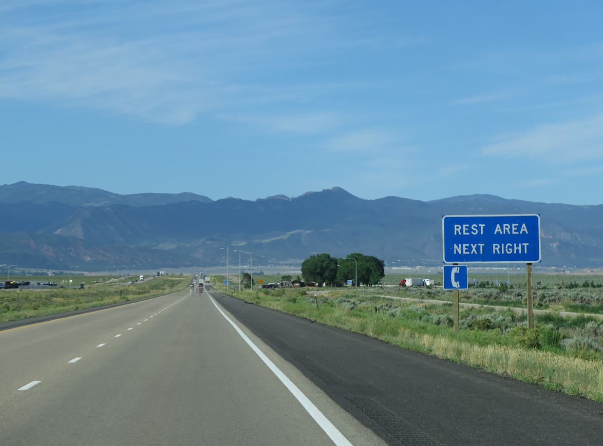
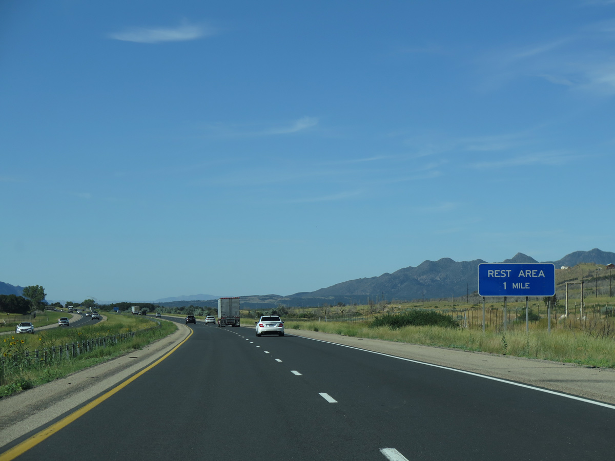
Lunt Park South Rest Area is next along Interstate 15 at mile marker 88.
07/12/15
07/12/15
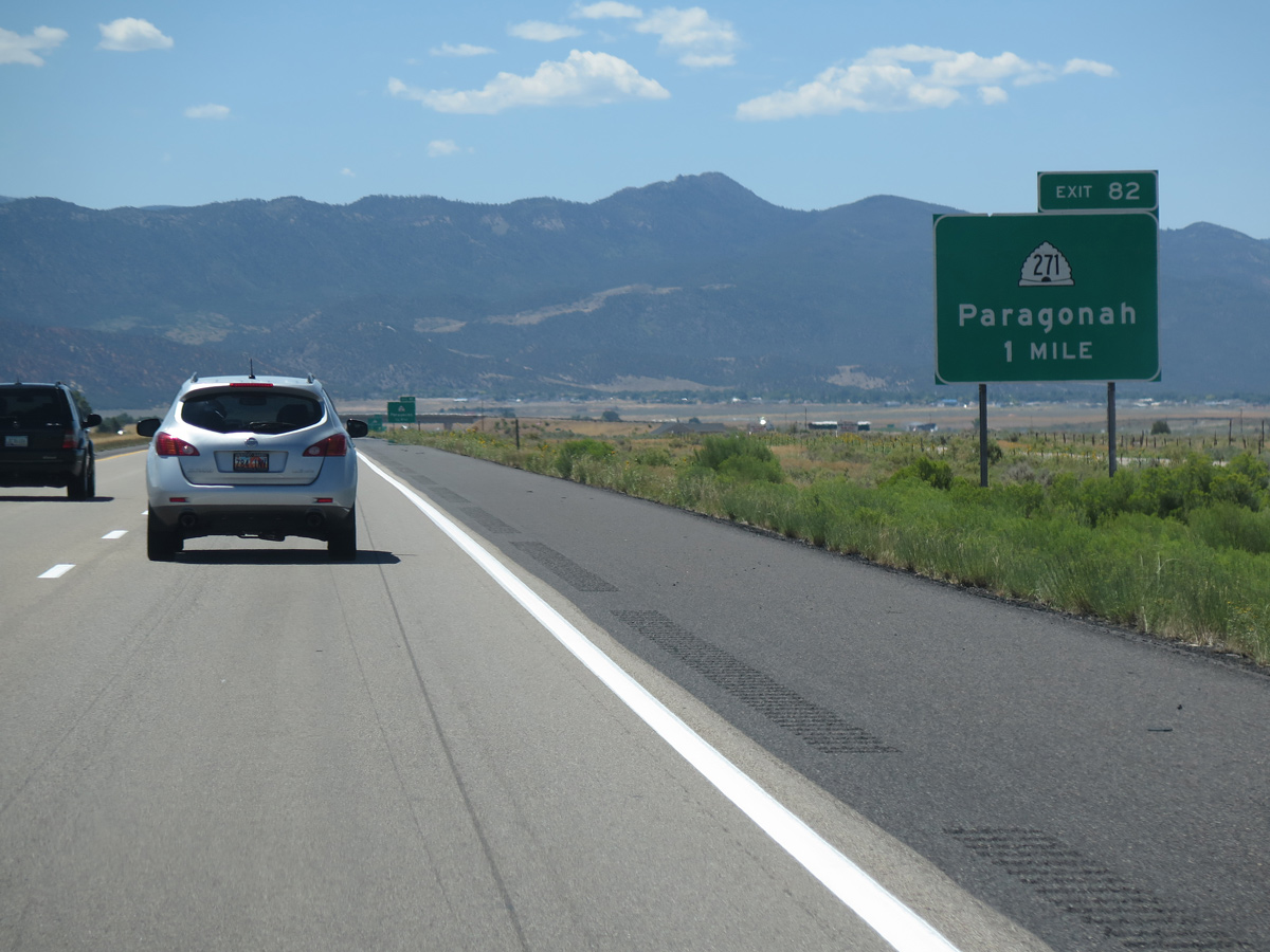
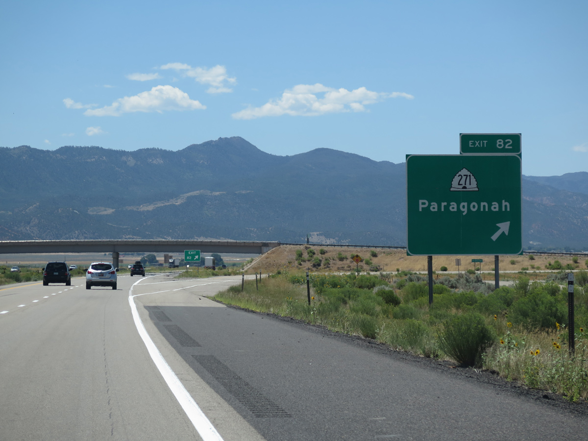
SR 271 loops 5.59 miles east from I-15 between Exit 87 and Business Loop I-15/SR 274 (Main Street) in Parowan.
08/12/16
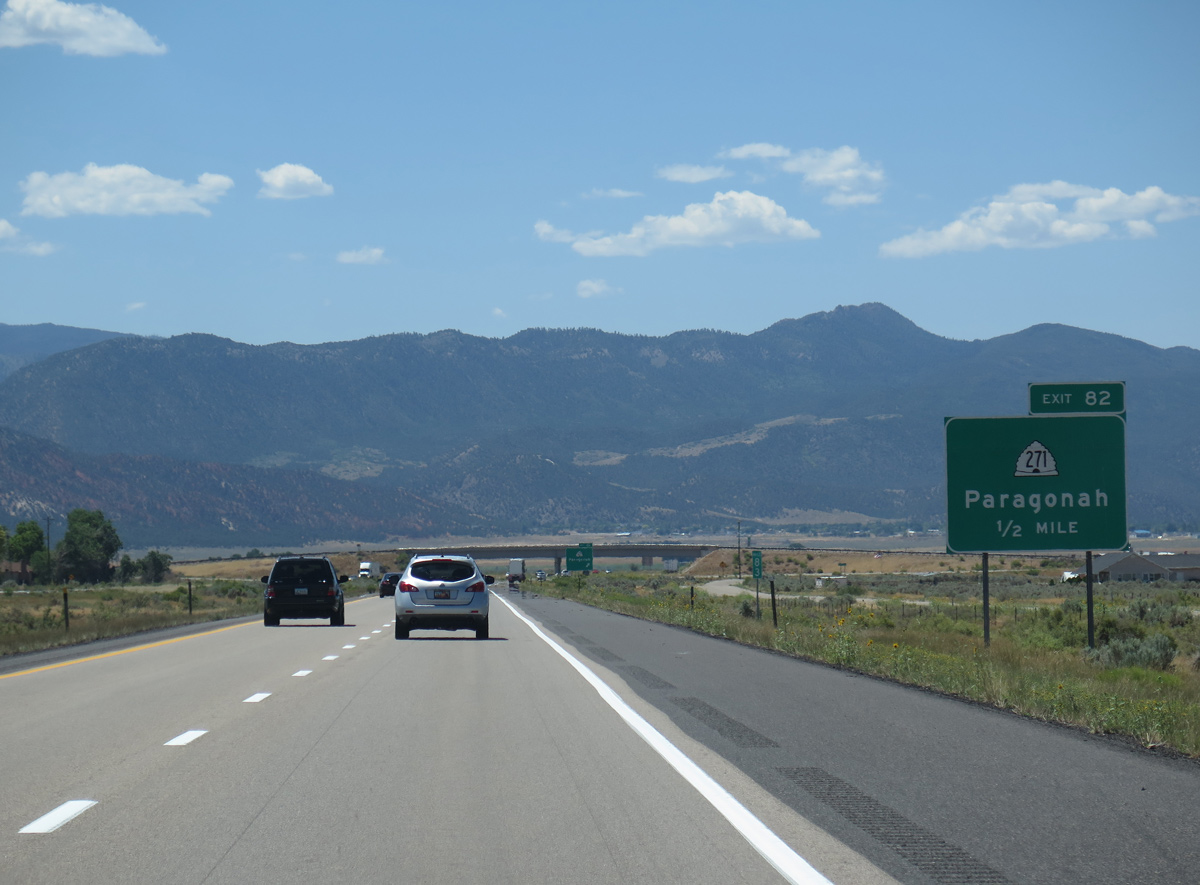
SR 271 follows historic U.S. 91 (Main Street) south through the town of Paragonah. Home to 536 as of the 2020 Census, Paragonah incorporated on April 3, 1916.
08/12/16
1500 North ties into the diamond interchange (Exit 87) with SR 271 from the northwest. Old U.S. 91 stays separated from I-15 south to Exit 71.
08/12/16
08/12/16
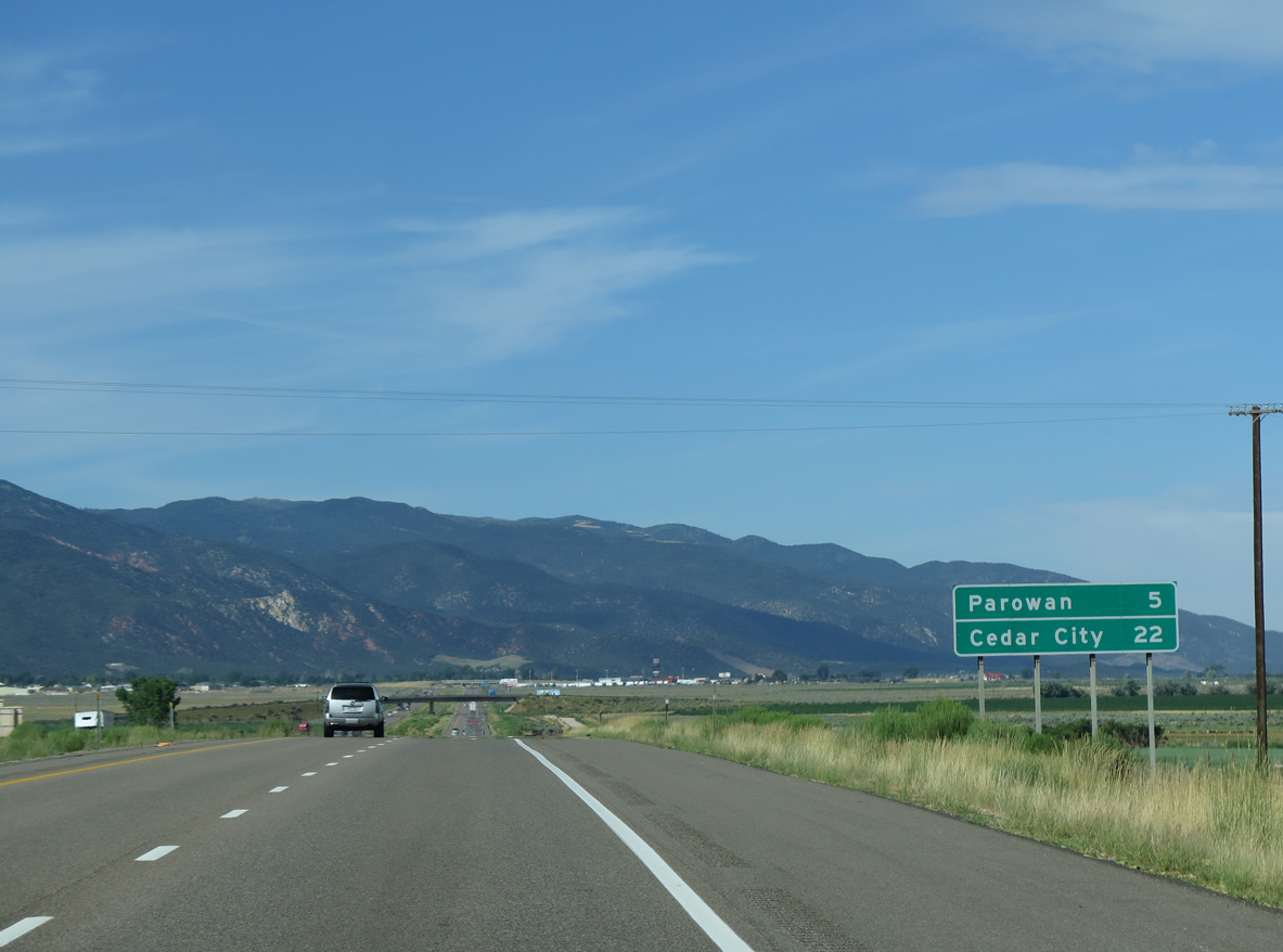
The succeeding two exits serve the city of Parowan. First settled on January 13, 1851, Parowan is known as the "Mother Town of Southern Utah."
07/12/15

Business Loop I-15 through Parowan overlaps with SR 274 south 1.25 miles to SR 143 (Center Street) in Downtown, and with SR 143 west for 2.62 miles to Exit 75.
08/12/16
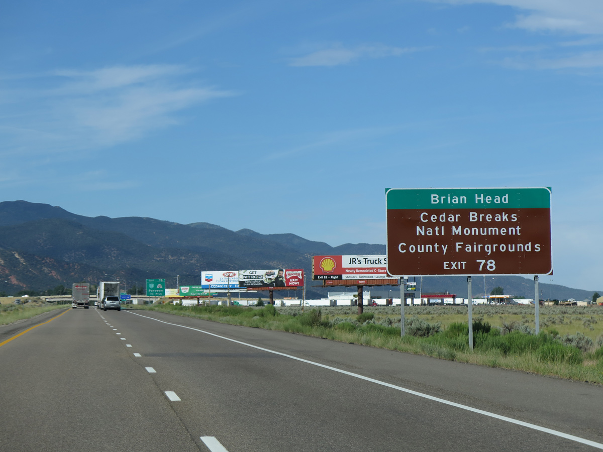
50.59 miles in length, SR 143 travels south from Parowan to Brian head and Cedar Breaks National Monument, then northeast to Panguitch Lake and U.S. 89 at Panguitch.
07/12/15

SR 271 (old U.S. 91) converges with Business Loop I-15/SR 274, 0.64 miles south of Exit 78 near Parowan Airport (1L9).
08/12/16
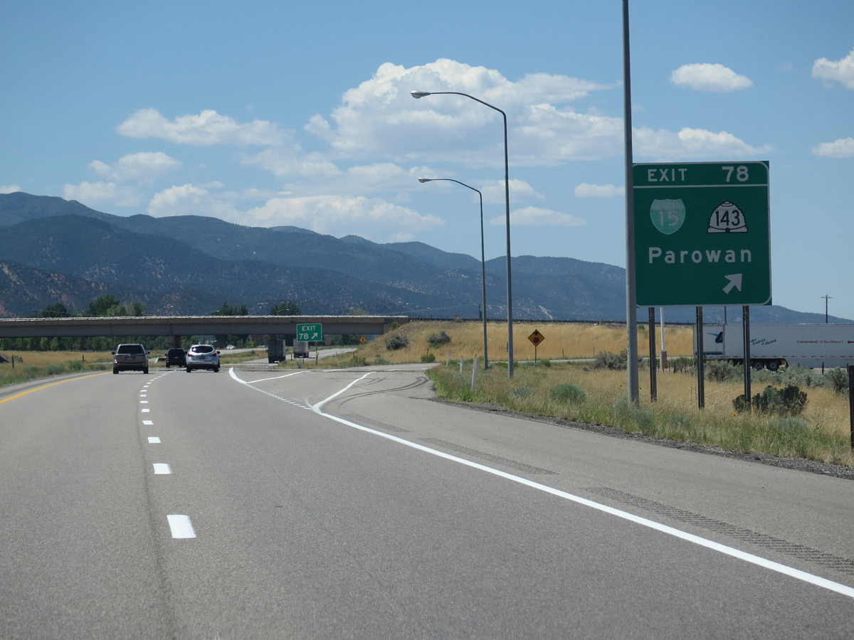
Entering the diamond interchange (Exit 78) with Business Loop I-15/SR 274 (Main Street) south and 100 West north.
08/12/16
07/12/15
Business Loop I-15 returns to I-15 alongside SR 143 on 200 South.
07/12/15
Designated as the Brian Head-Panguitch Lake Scenic Byway and also known as Utah's Patchwork Parkway, SR 143 ascends south through Parowan Canyon to the Markagunt Plateau.
07/12/15
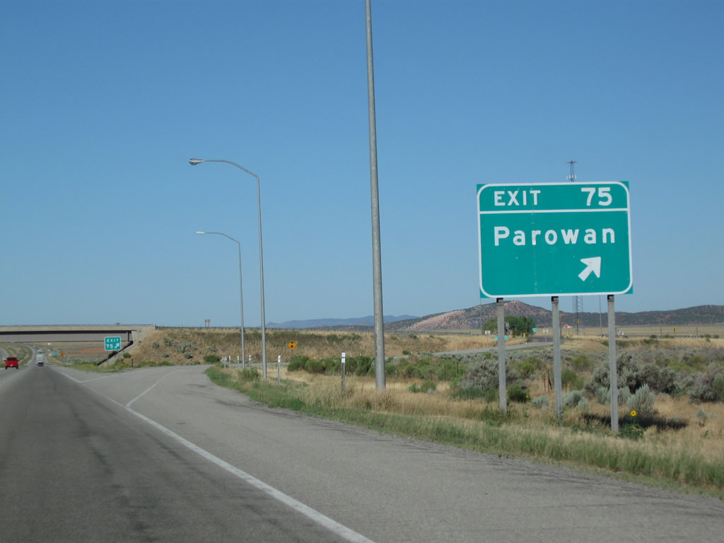
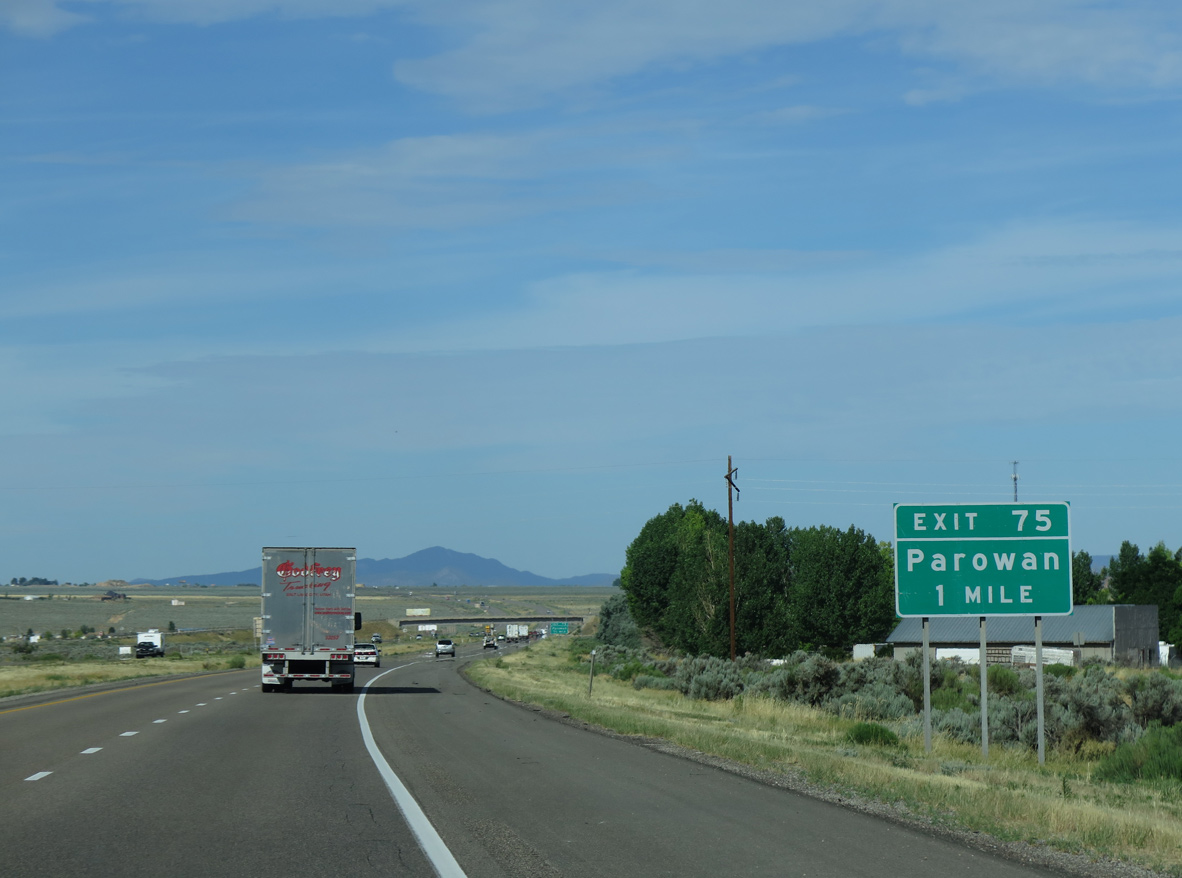
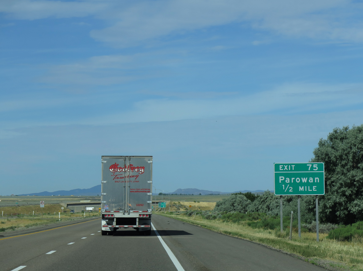
Exit 75 departs I-15 south for Business Loop I-15/SR 143 (200 South) east back into Parowan and 200 South west to 4200 West.
08/15/10
07/12/15
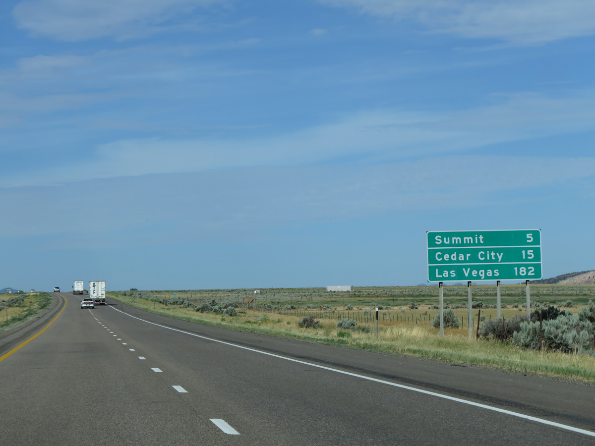
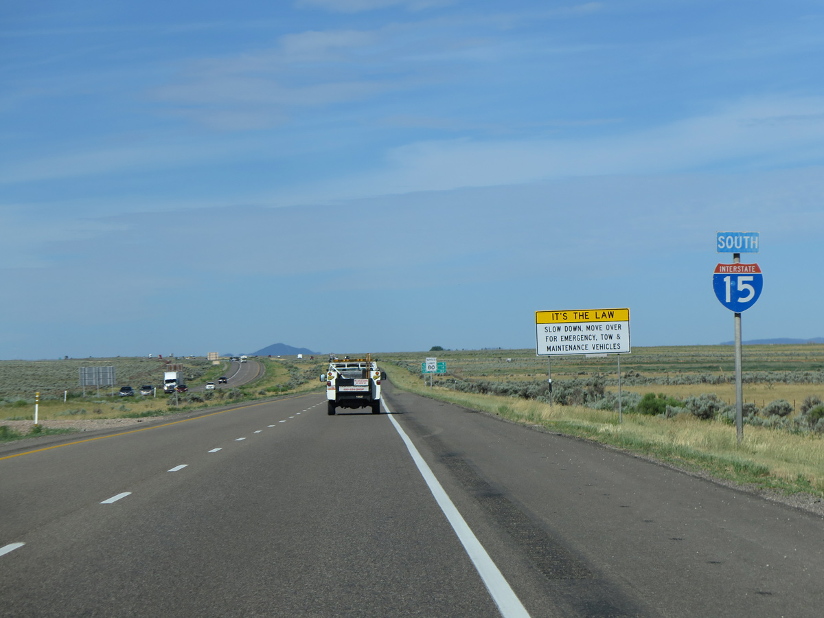
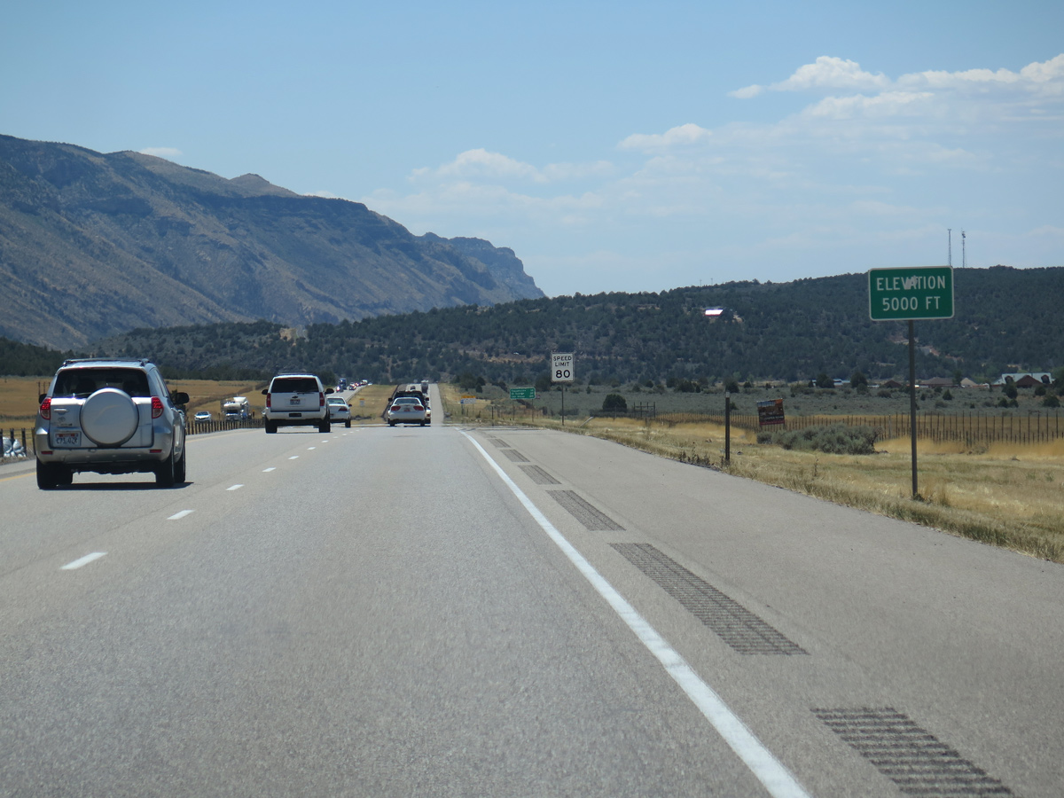
Interstate 15 reaches a summit of 5,950 feet above sea level in five miles at Summit.
07/12/15
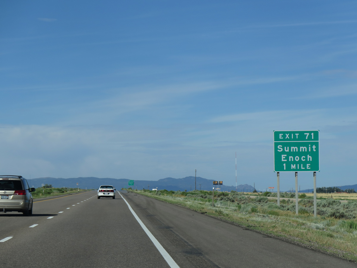
Old U.S. 91 extends southwest from Main Street in Parowan 7.10 miles to the diamond interchange at Exit 71.
07/12/15
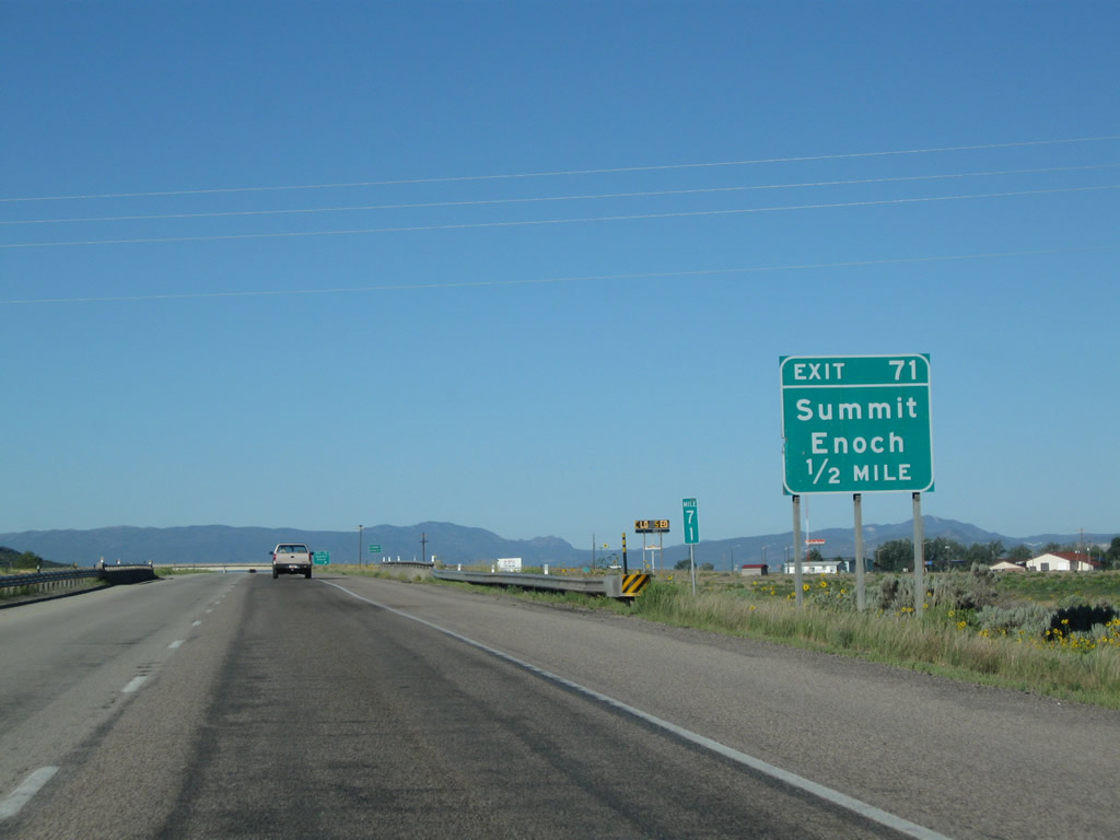
The unincorporated community of Summit lies just east of Exit 71 along Old Highway 91.
08/15/10
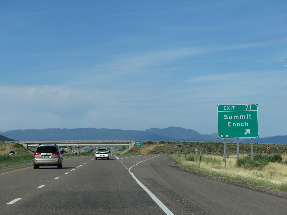
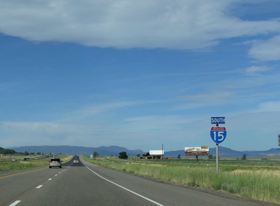
Old US Highway 91 shifts to the west side frontage road from Exit 71 southwest to the city of Enoch.
07/12/15
07/12/15
07/12/15
07/12/15
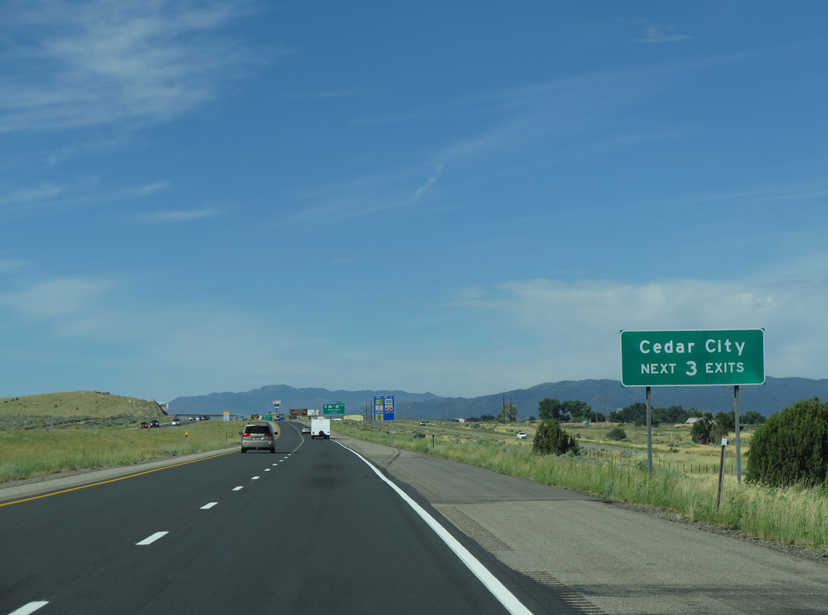
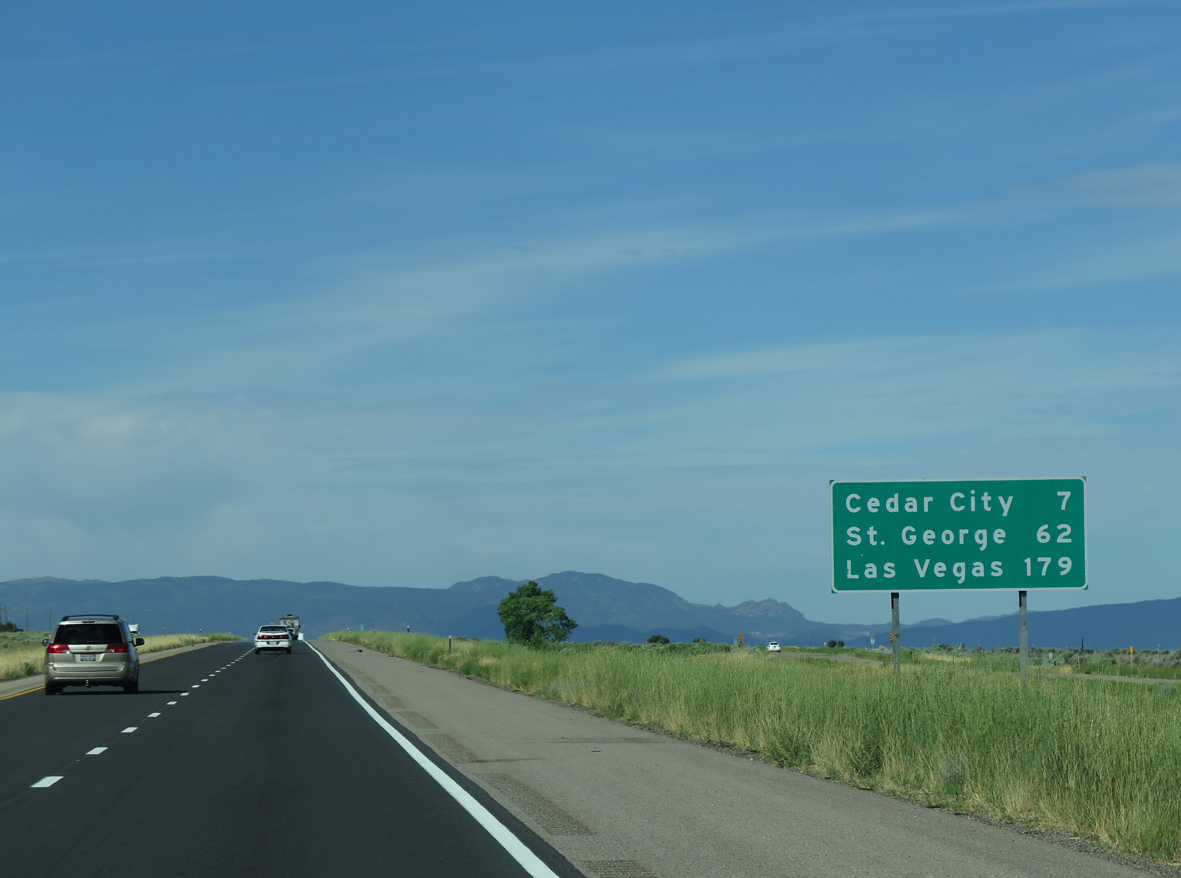
The succeeding three exits are for "Festival City USA", Cedar City. Cedar City was founded in 1851 and incorporated on February 18, 1868.
07/12/15
Business Loop I-15 at Cedar City overlays the southernmost 6.27 miles of SR 130 along Main Street (old U.S. 91).
08/12/16
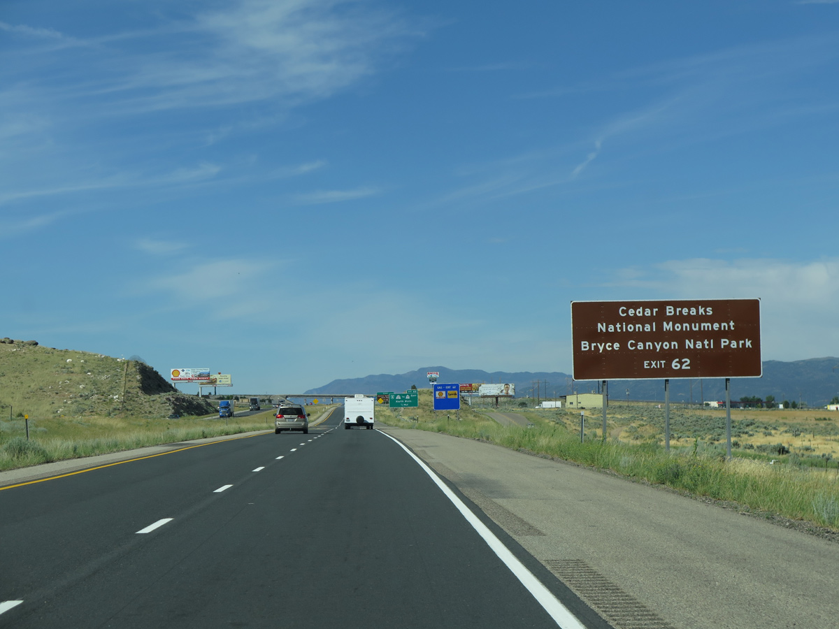
SR 14 commences a 40.46 mile long route southeast from Cedar City to SR 148 for Cedar Breaks National Monument and U.S. 89 north to SR 12 east for Bryce Canyon National Park.
07/12/15
SR 130 travels 42.72 miles north from Cedar City to SR 21 north of Minersville.
07/12/15
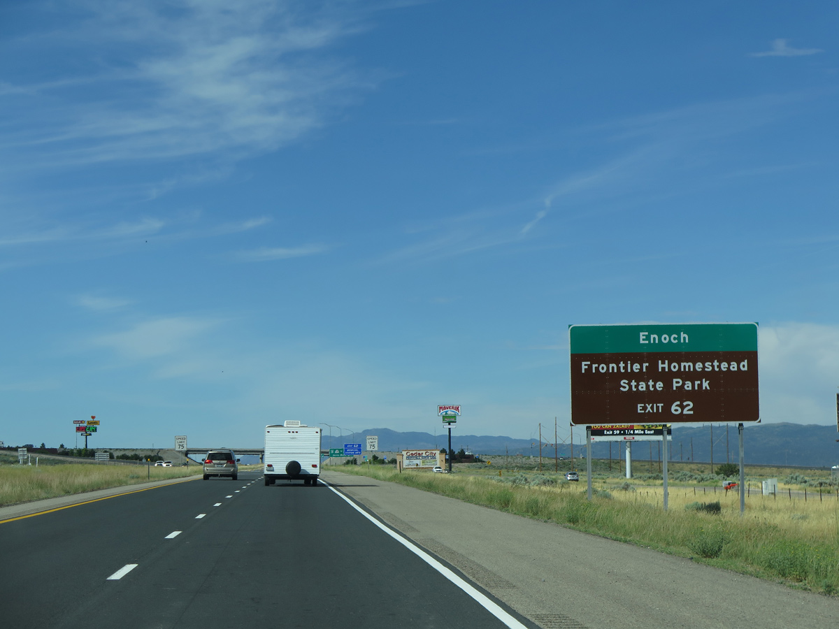
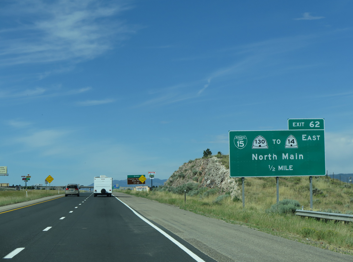
Business Loop I-15/SR 130 head south to Frontier Homestead State Park in Cedar City. SR 130 north runs across the west side of Enoch.
07/12/15
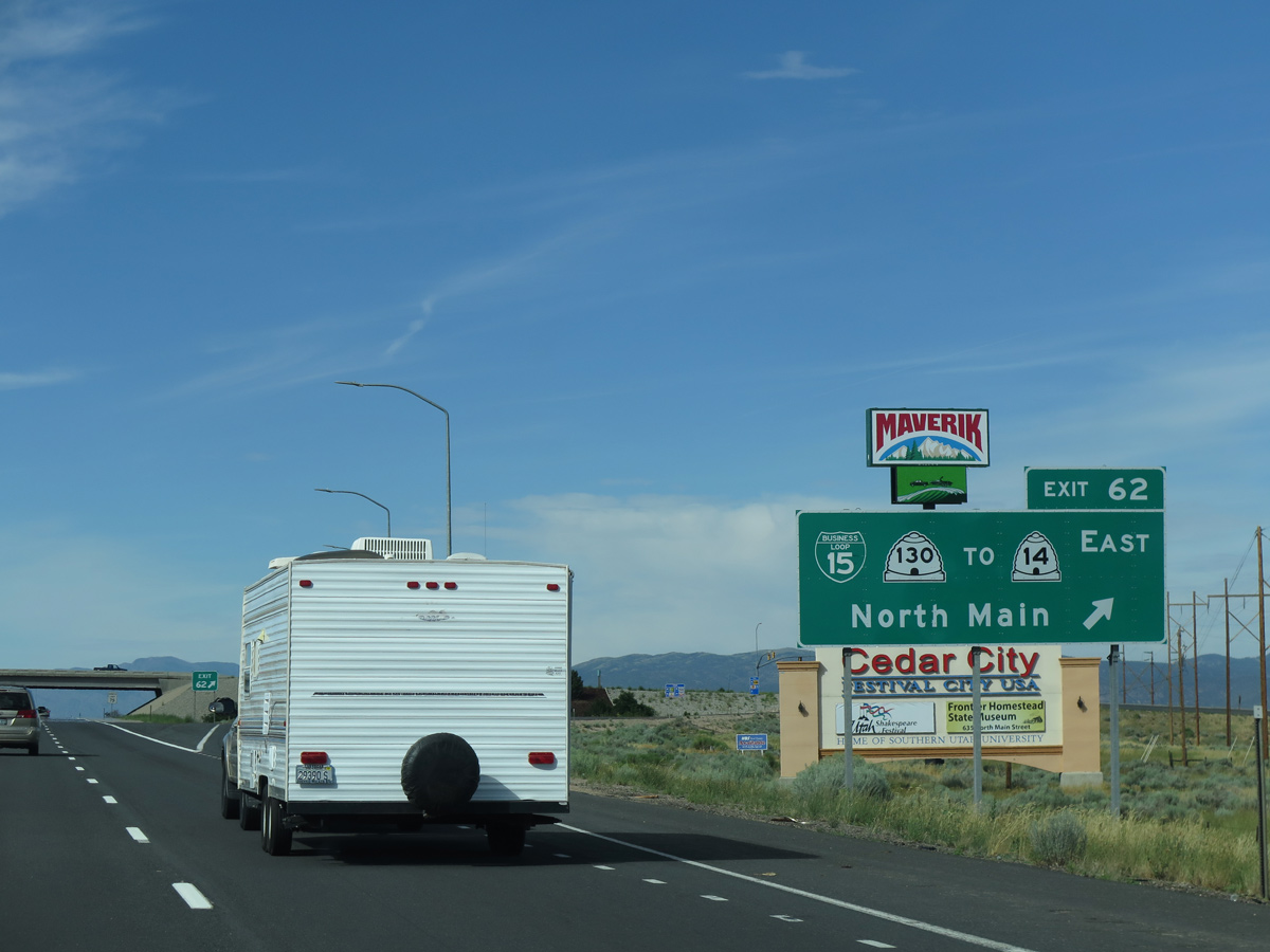
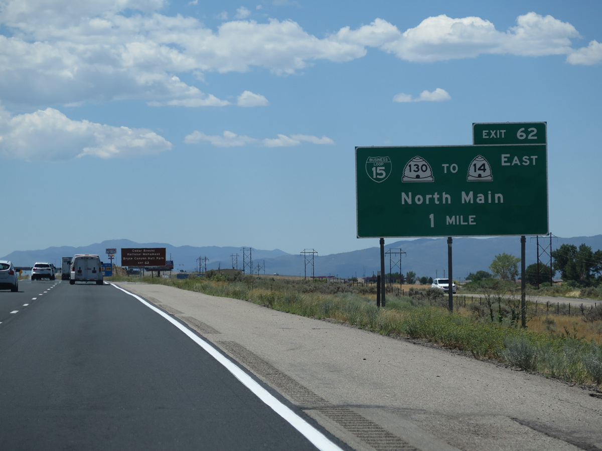
The diamond interchange at Exit 62 replaced an older exchange at Nichols Canyon Road. Business Loop I-15 was lengthened eastward along the realignment of SR 130 (Main Street).
07/12/15
Situated at an elevation of 5,846 feet above sea level, Cedar City is positioned near a variety of scenic areas within an easy drive of Downtown. The Markagunt Plateau, and its spectacular vistas including Cedar Breaks, lies to the east.
07/15/17
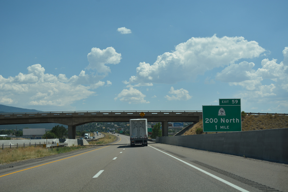
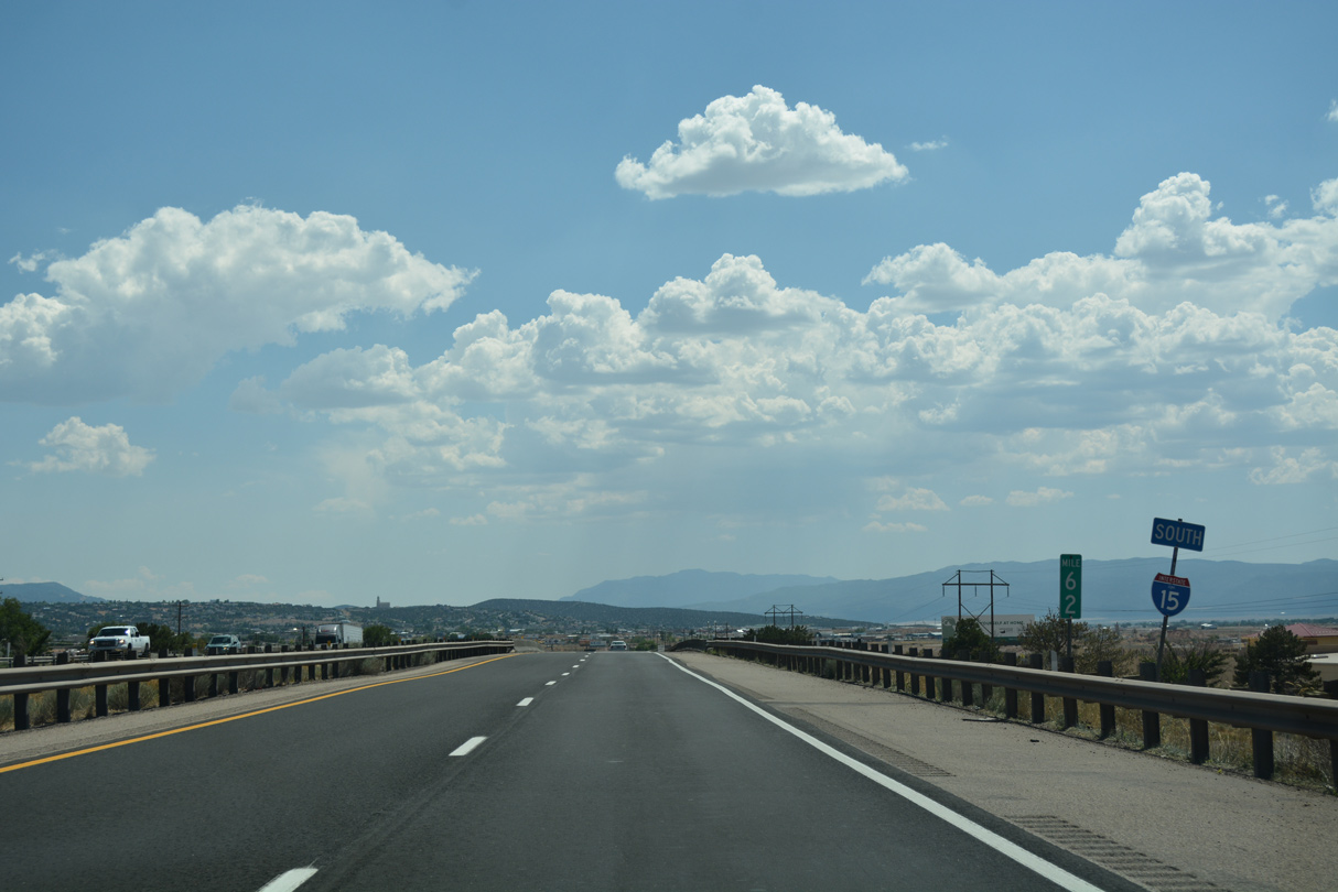
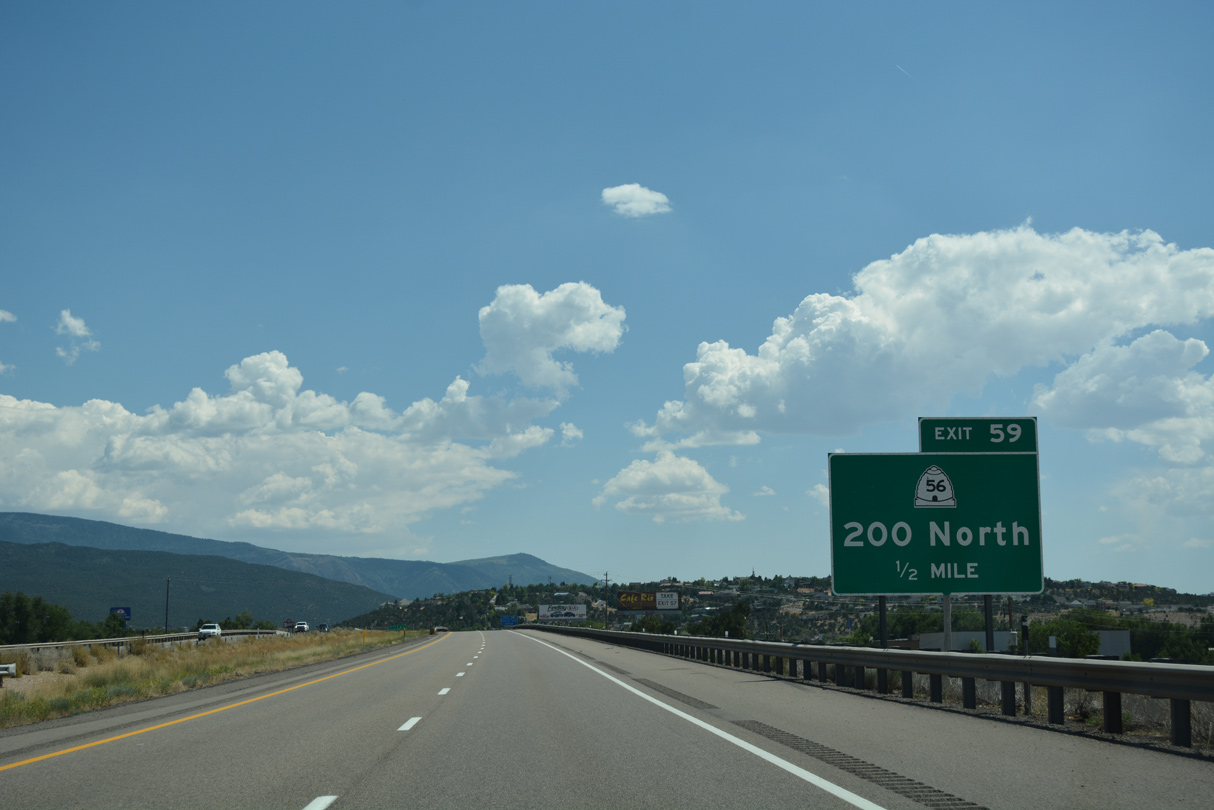
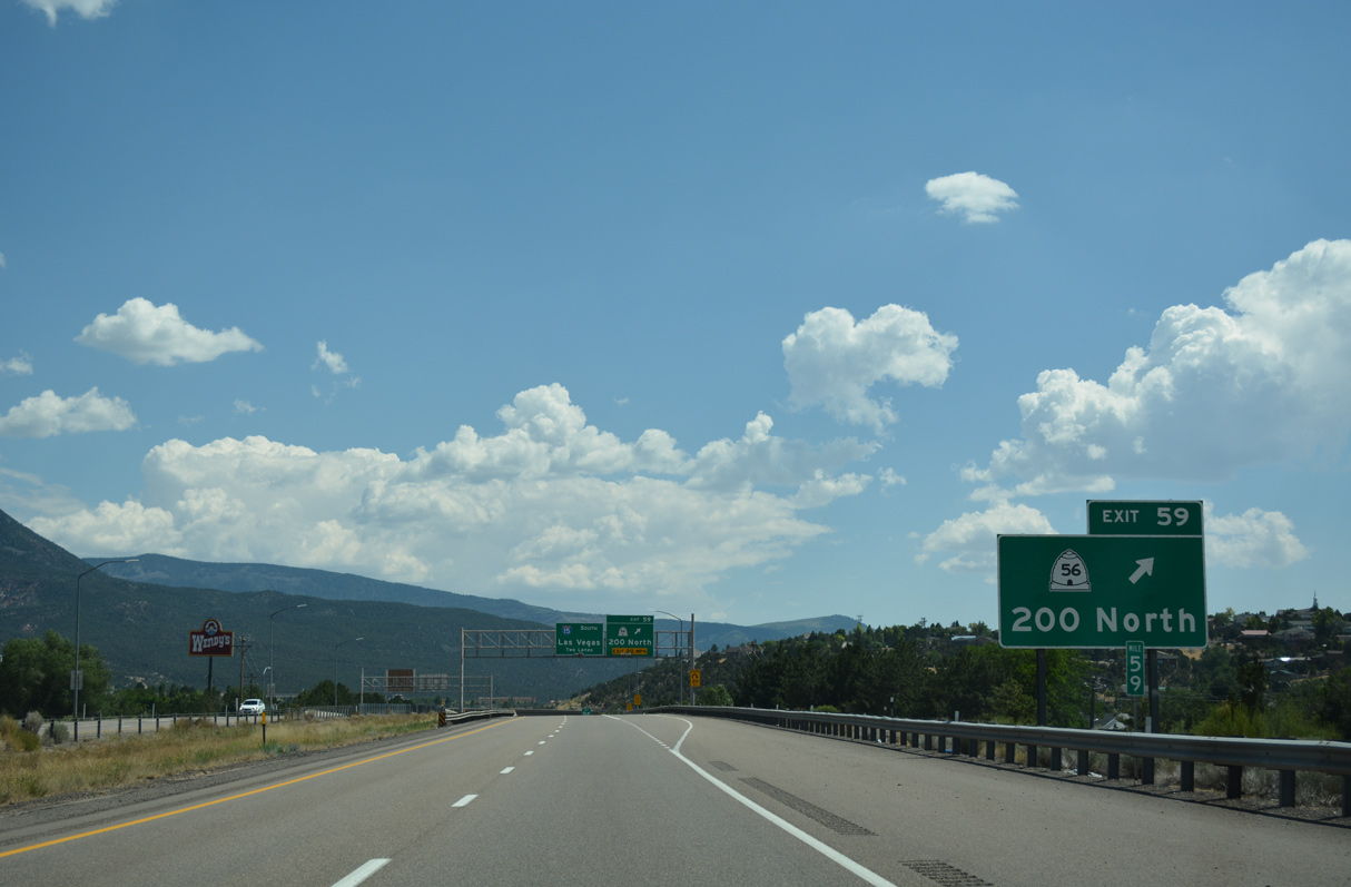
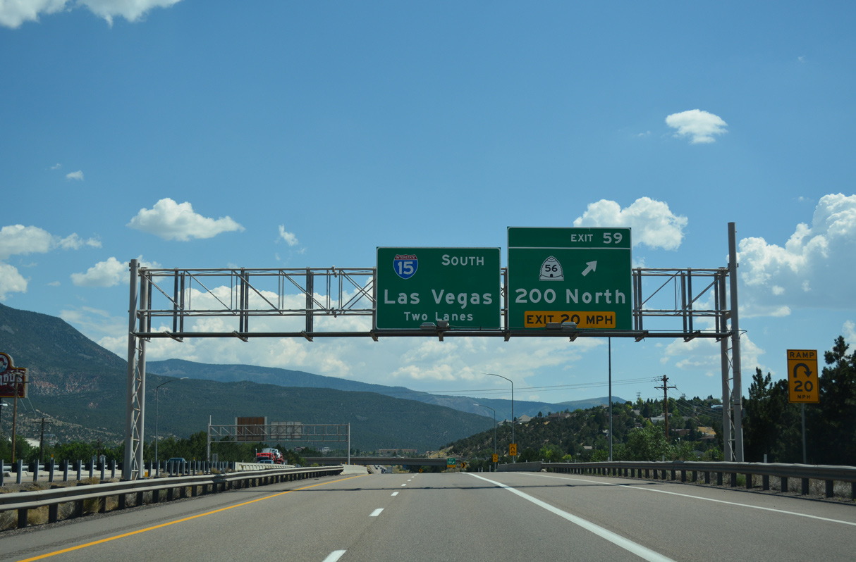
A parclo B2 interchange at Exit 59 joins I-15 with SR 56 (200 North), 0.98 miles west of Business Loop I-15/SR 130 (Main Street) in Downtown Cedar City.
07/15/17
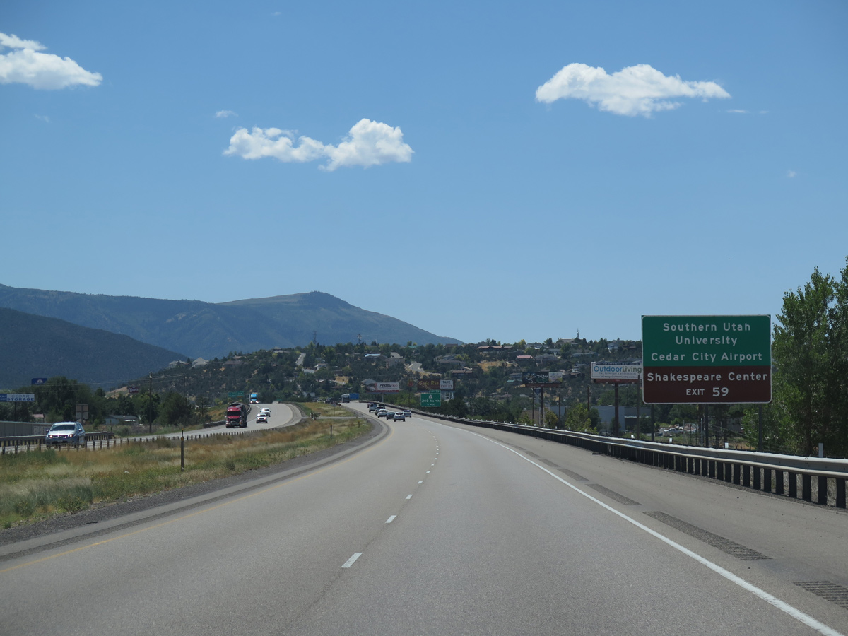
Home of the Utah Shakespeare Festival, the campus of Southern Utah University is just south of SR 56 (200 North) and east of I-15. Founded as Branch Normal School in 1897, Southern Utah University became a four year school in 1991.
08/12/16
SR 56 constitutes a five lane boulevard to Aviation Way, south of Cedar City Regional Airport (CDC), and Iron Springs Road in western reaches of the Cedar City limits.
07/15/17
SR 56 concludes at Business Loop I-15 (Main Street) three blocks north of SR 14 east into Cedar Canyon and SR 289 (Center Street) west to Southern Utah University.
07/15/17
A 61.51 mile long route, SR 56 traverses the Escalante Desert west from Newcastle to Nevada border southwest of Modena. Nevada State Route 319 continues the highway west to Panaca and U.S. 93.
07/15/17
Situated at an elevation of 5,846 feet above sea level, Cedar City was home to 35,235 as of the 2020 Census.
07/15/17
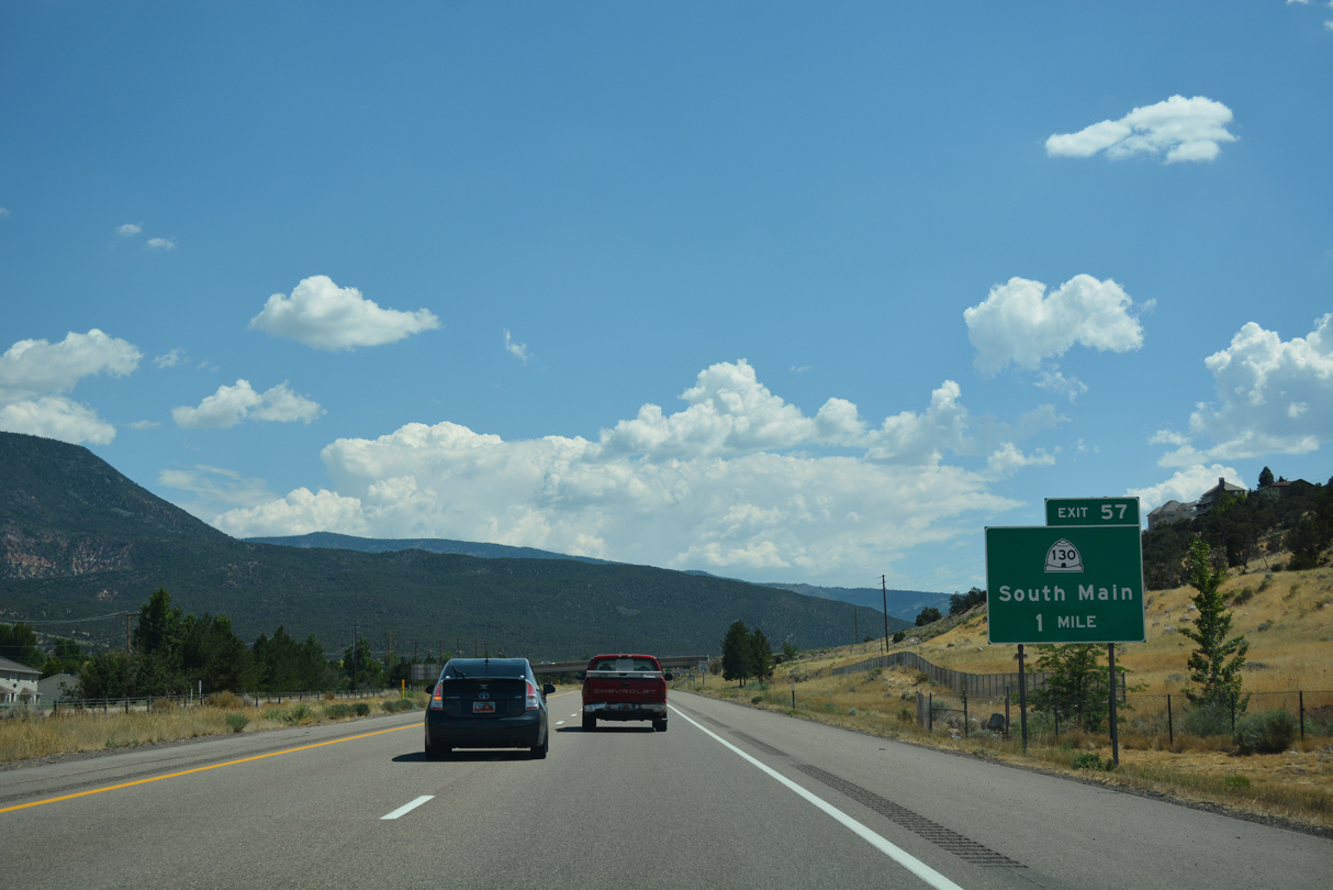
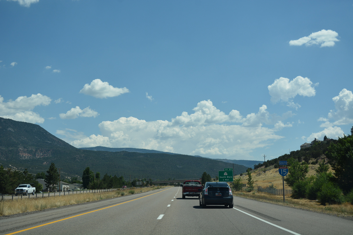
Business Loop I-15 and SR 130 conclude at a diverging diamond interchange (Exit 57) with Cross Hollow Road.
07/15/17
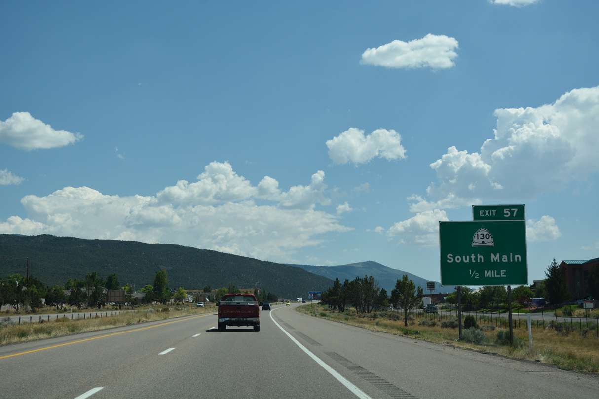
Heavy retail development lines the west side of Exit 57 along parallel Providence Center Drive and Royal Hunte Drive. Operated by Cedar City, Park Discovery is a short distance to the northwest.
07/15/17
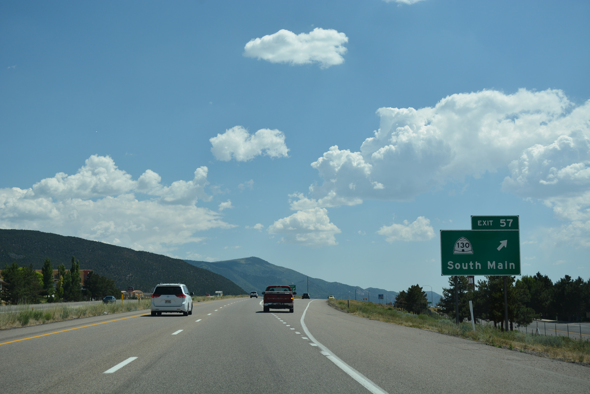
The DDI at Exit 57 replaced a wye interchange joining Business Loop I-15 along old U.S. 91 with I-15 southbound.
07/15/17
Old Highway 91 parallels the east side of I-15 by Cross Hollow Hills.
07/12/15
07/12/15
08/12/16
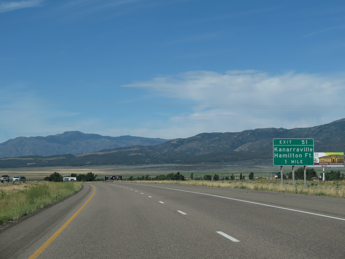
Old Highway 91 shifts to the north side of I-15 through the unincorporated community of Hamilton Fort.
07/12/15
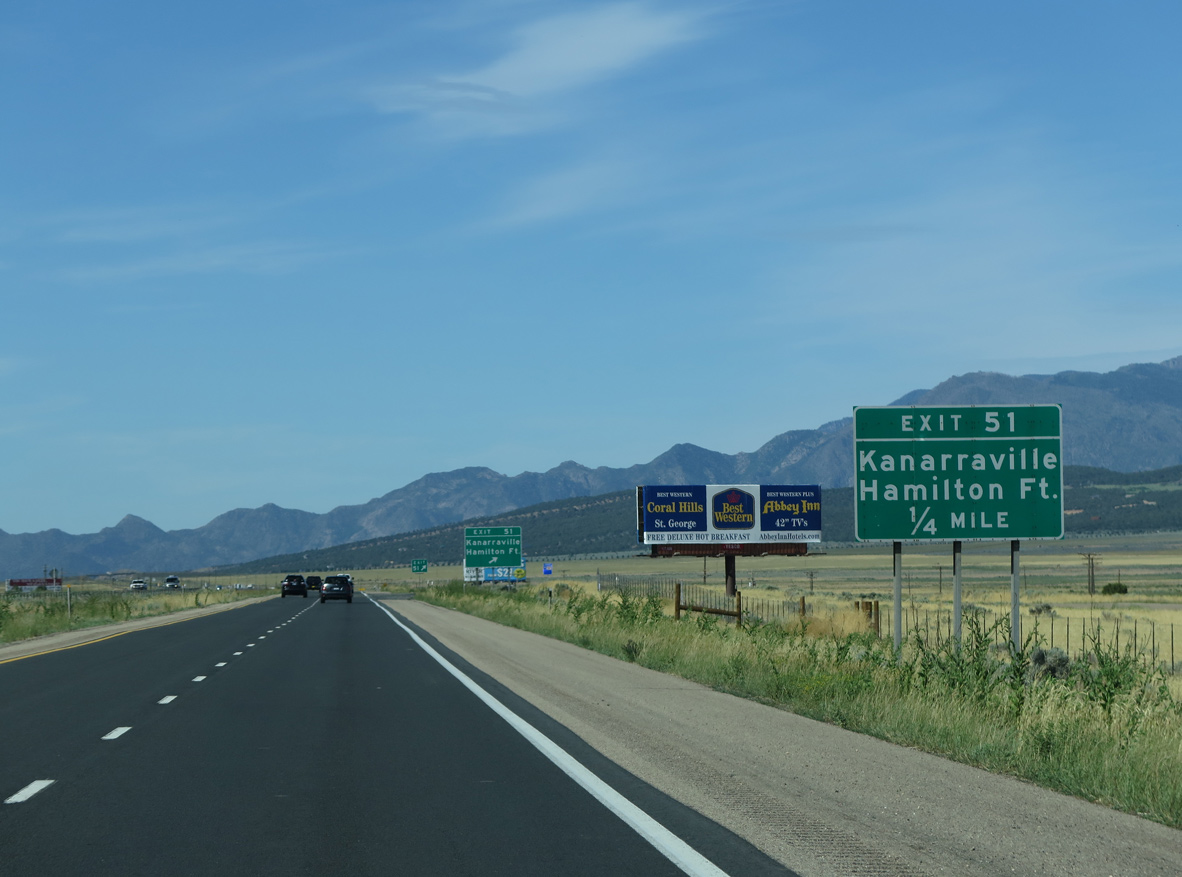
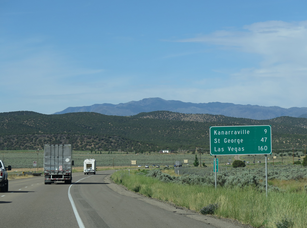
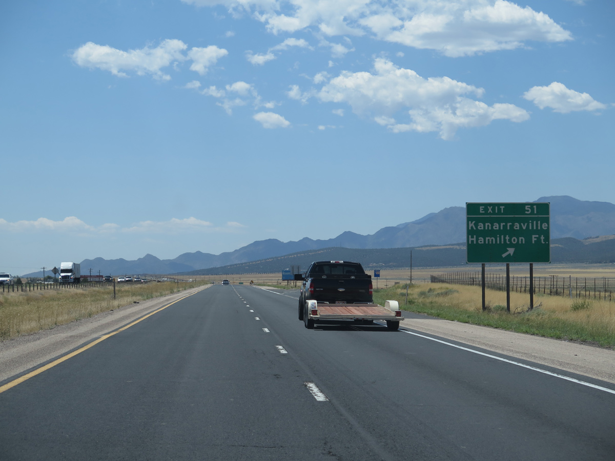
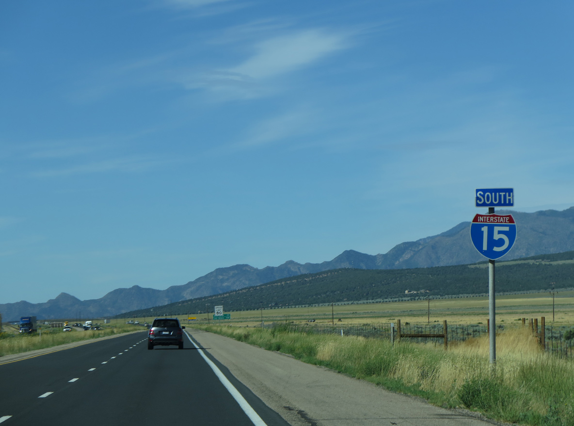
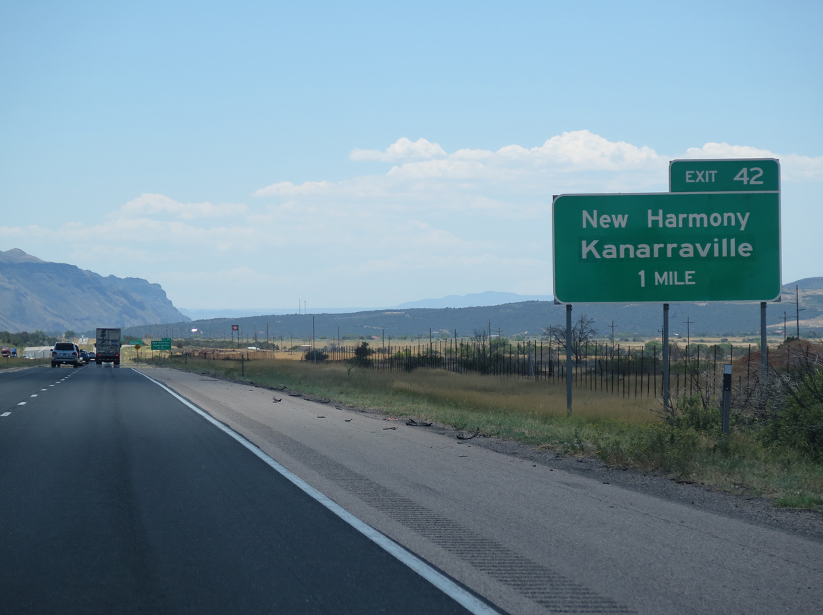
Old U.S. 91 crosses I-15 again at Exit 51. Continuing 9.22 miles south to Exit 42, Old U.S. 91 becomes Main Street through the town of Kanarraville.
07/12/15
08/12/16
07/12/15
08/12/16
07/12/15
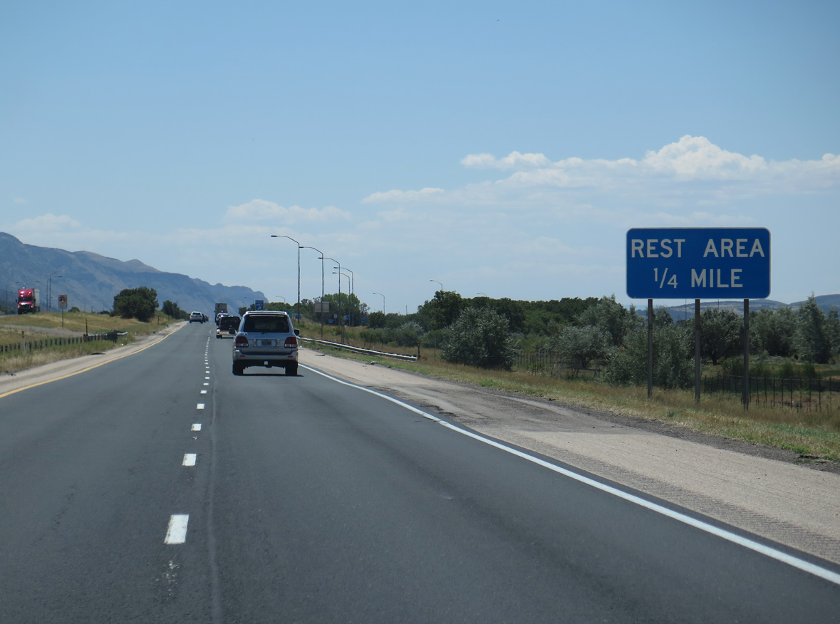
The final rest area along Interstate 15 south in Utah is located south of mile marker 45. The succeeding facility is in the Virgin River Gorge.
07/12/15
Serving both sides of I-15, the Kanarraville Rest Areas lie adjacent to Kanarra Creek, east of the Harmony Mountains.
08/12/16
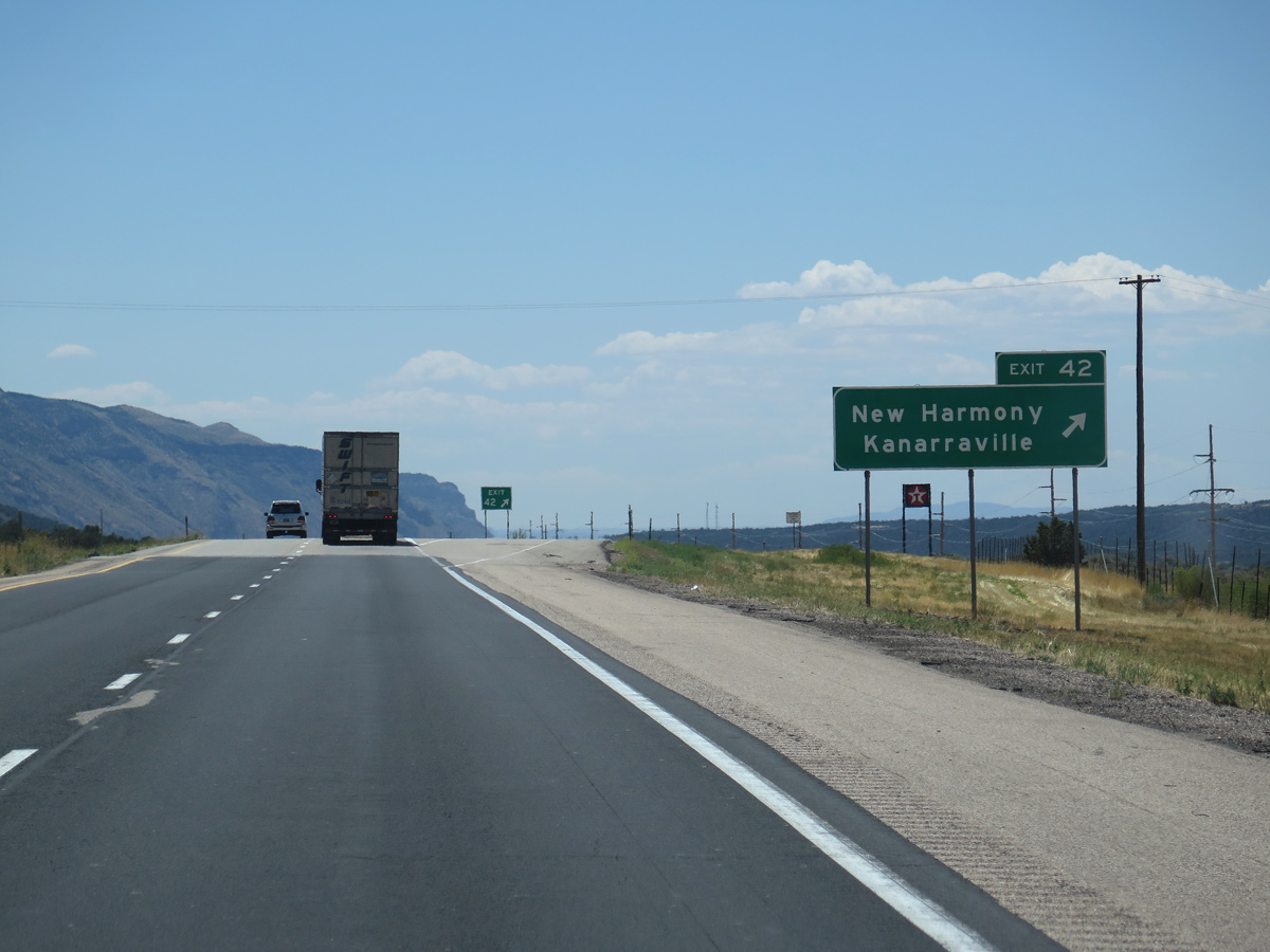
CR 1752 (New Harmony Road) links Interstate 15 with adjacent Old Highway 91 (3900 East) at Exit 42.
08/12/16

Highway 144 heads west to become Center Street, 5.07 miles from CR 1752 to Main Street in the town of New Harmony. SR 144 was decommissioned in 1969.
07/12/15
The diamond interchange (Exit 42) with Highway 144 west and CR 1752 lies just outside of Zion National Park near Horse Ranch Mountain (el. 8,733 feet).
08/12/16
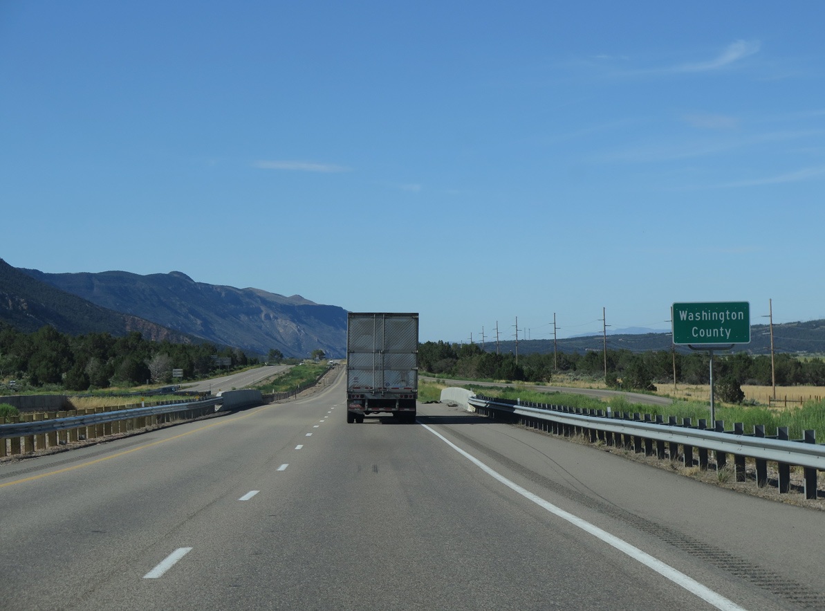
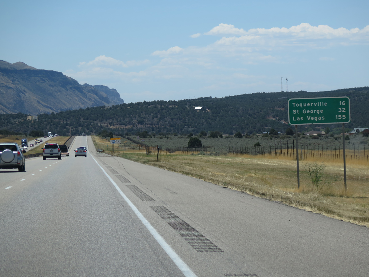
Due to growth of the St. George area, Washington County underwent tremendous population growth from 90,354 in 2000, to 138,115 in 2010 and 180,279 in 2020.
07/12/15
07/12/15
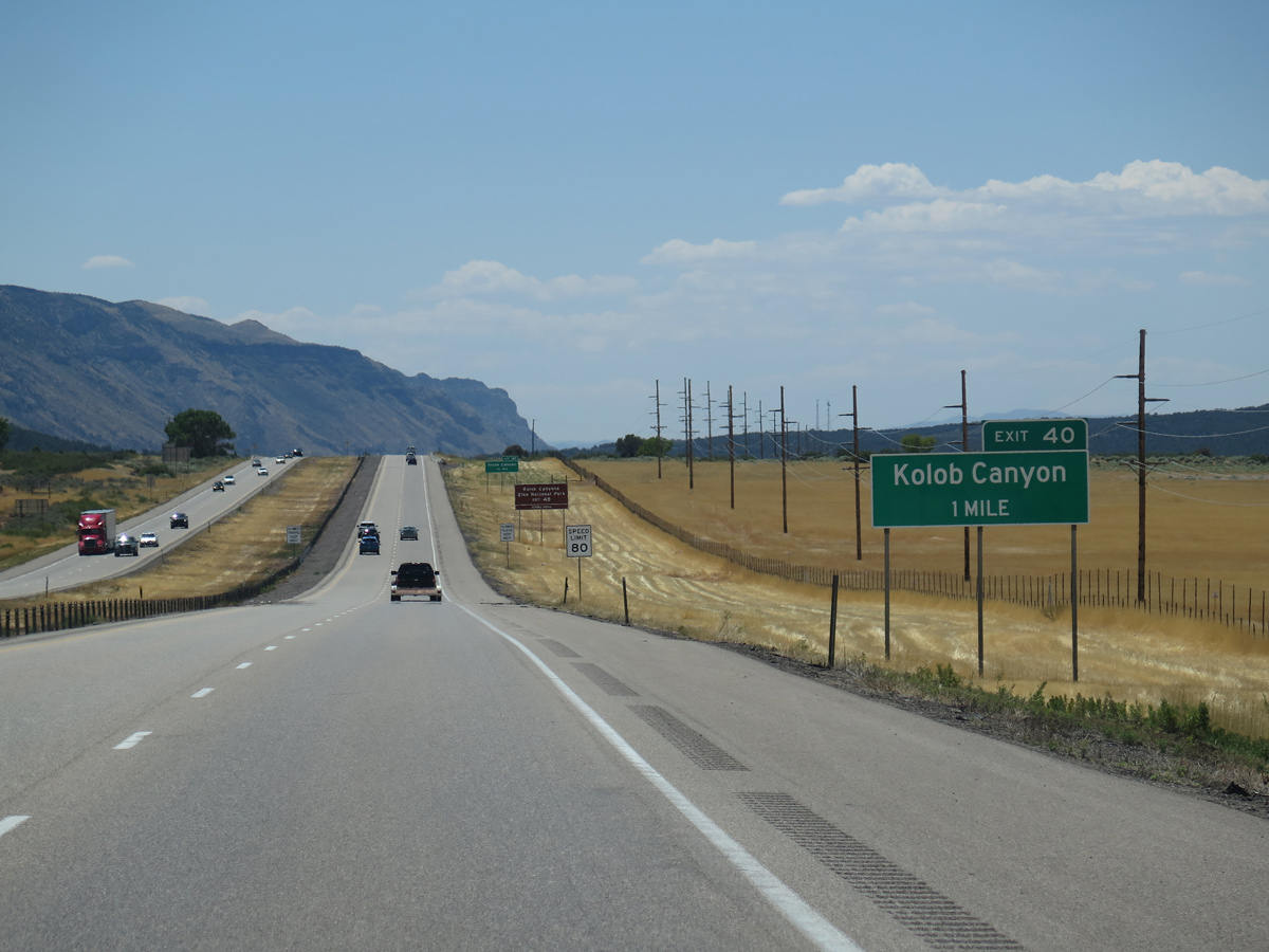
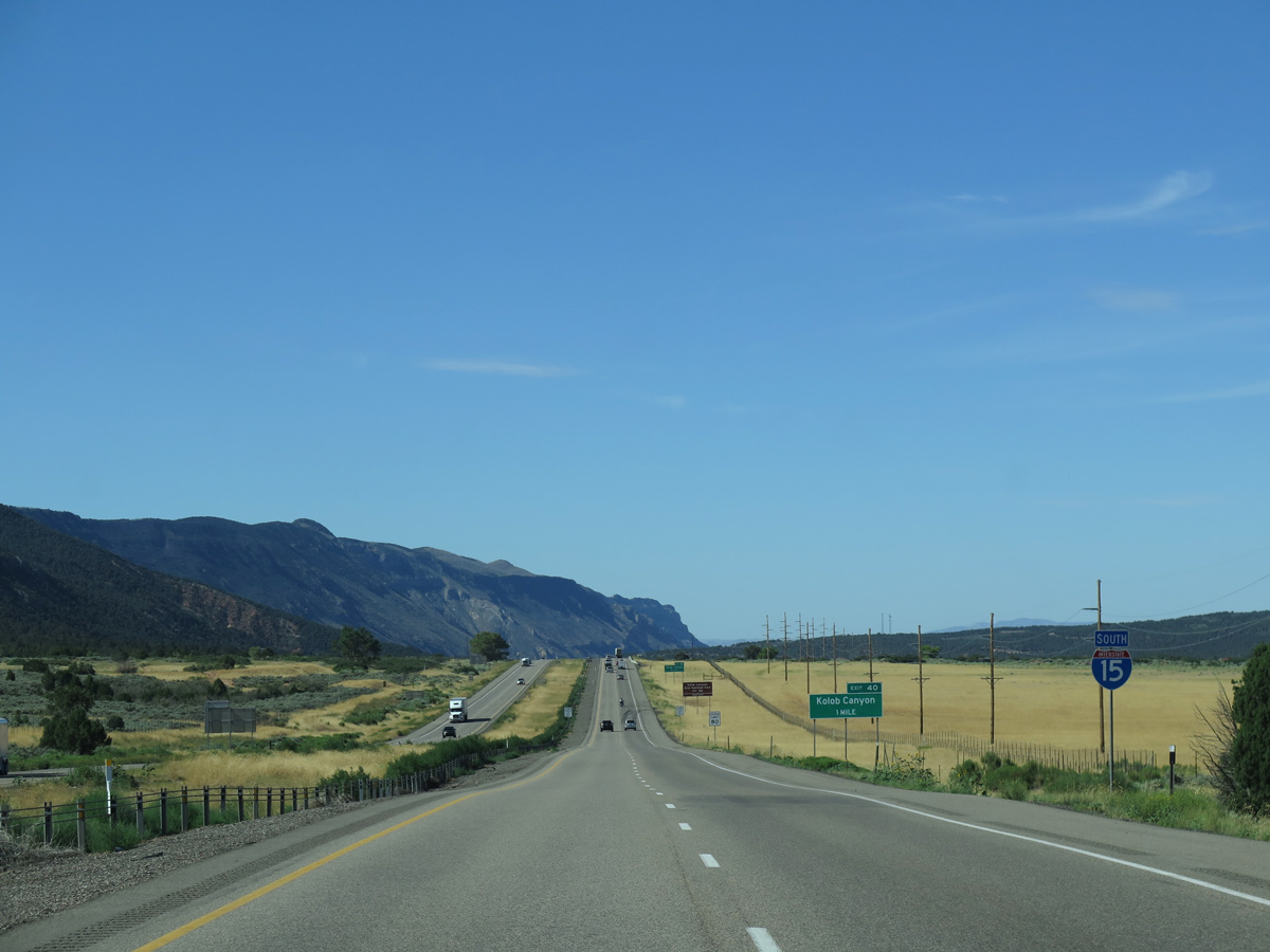
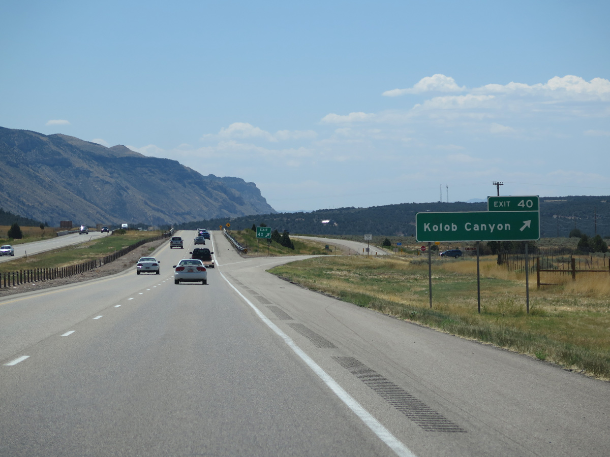
Advancing south across Taylor Creek, the ensuing exit from I-15 south is with the scenic drive along Kolob Canyon Road east into Zion National Park.
08/12/16
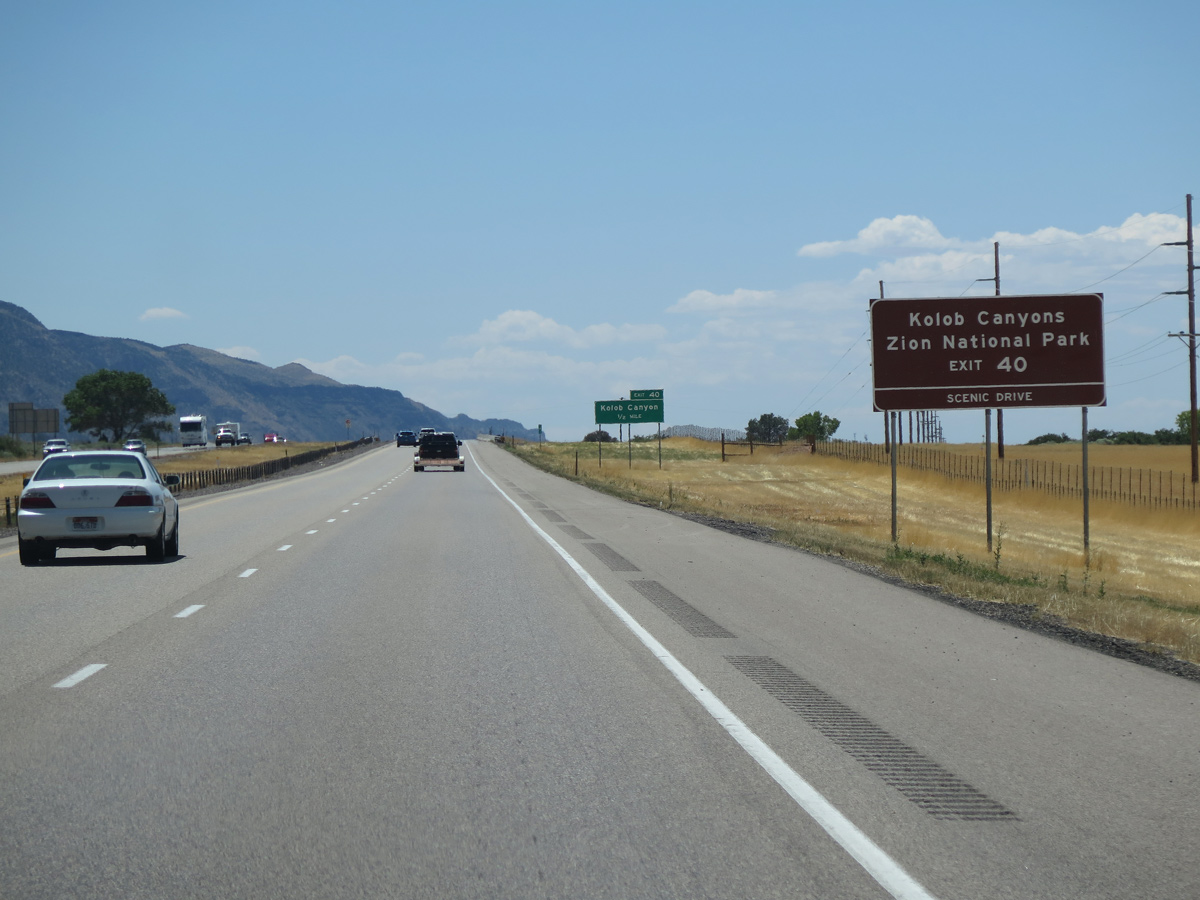
This scenic road leading into Kolob Canyon does not connect with the main part of Zion National Park.
08/12/16
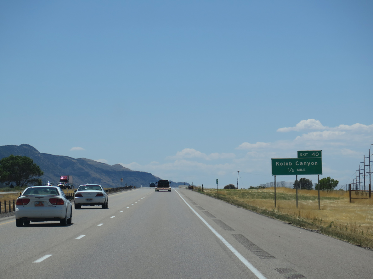
Old Highway 91 separates from I-15 south at the diamond interchange (Exit 40) with Kolob Canyon Road. The 1950s alignment of U.S. 91 loops west to a residential area and south around Ash Creek Reservoir.
08/12/16
Providing views of orange-red cliffs, Kolob Canyon Road meanders east toward Buck Pasture Mountain (el. 8,025 feet) and south to the Timber Creek Overlook Trailhead.
08/12/16
08/15/10
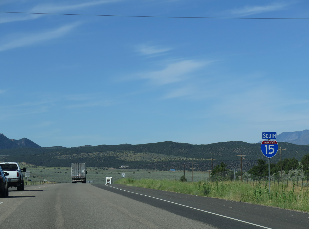
Interstate 15 gradually descends from 5,000 feet above sea level south of Exit 40 to 2,600 feet at St. George.
08/12/16
08/12/16
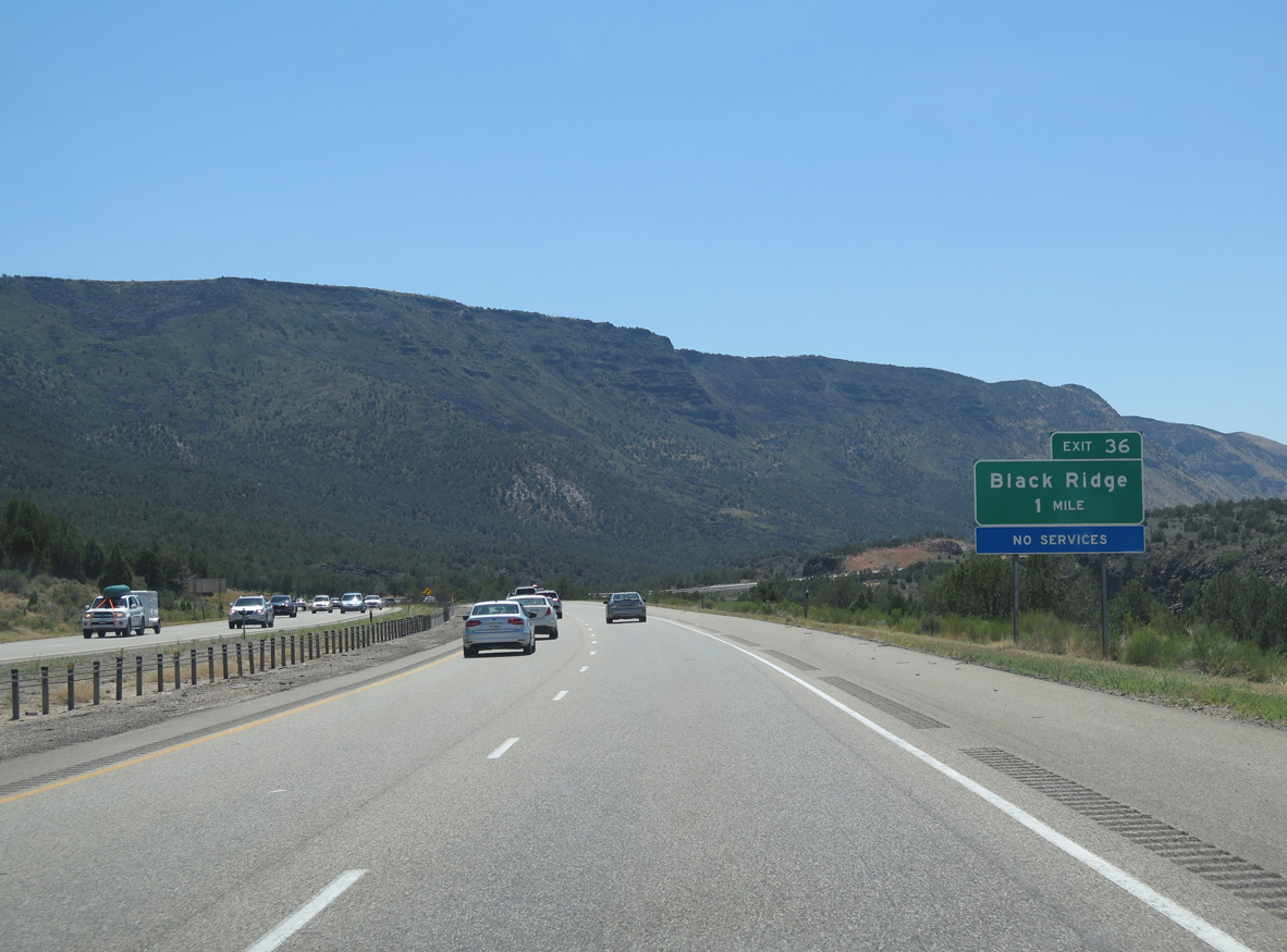
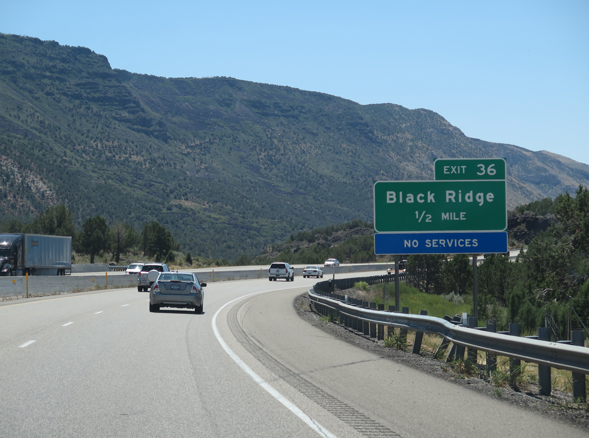
Old Highway 91 returns to Interstate 15 at Exit 36 for Black Ridge.
08/12/16
08/12/16
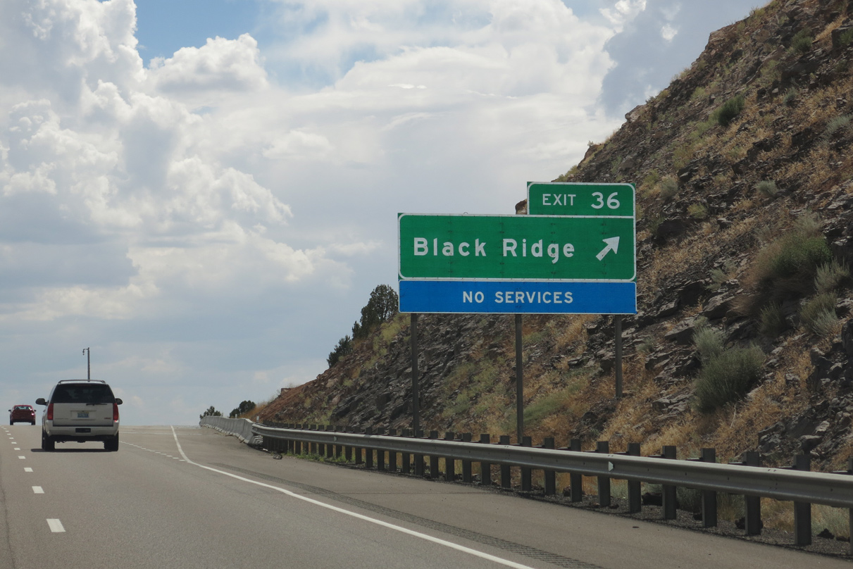
Exit 36 for Black Ridge was formerly signed as just a ranch exit.
08/17/13
07/13/08
08/17/13
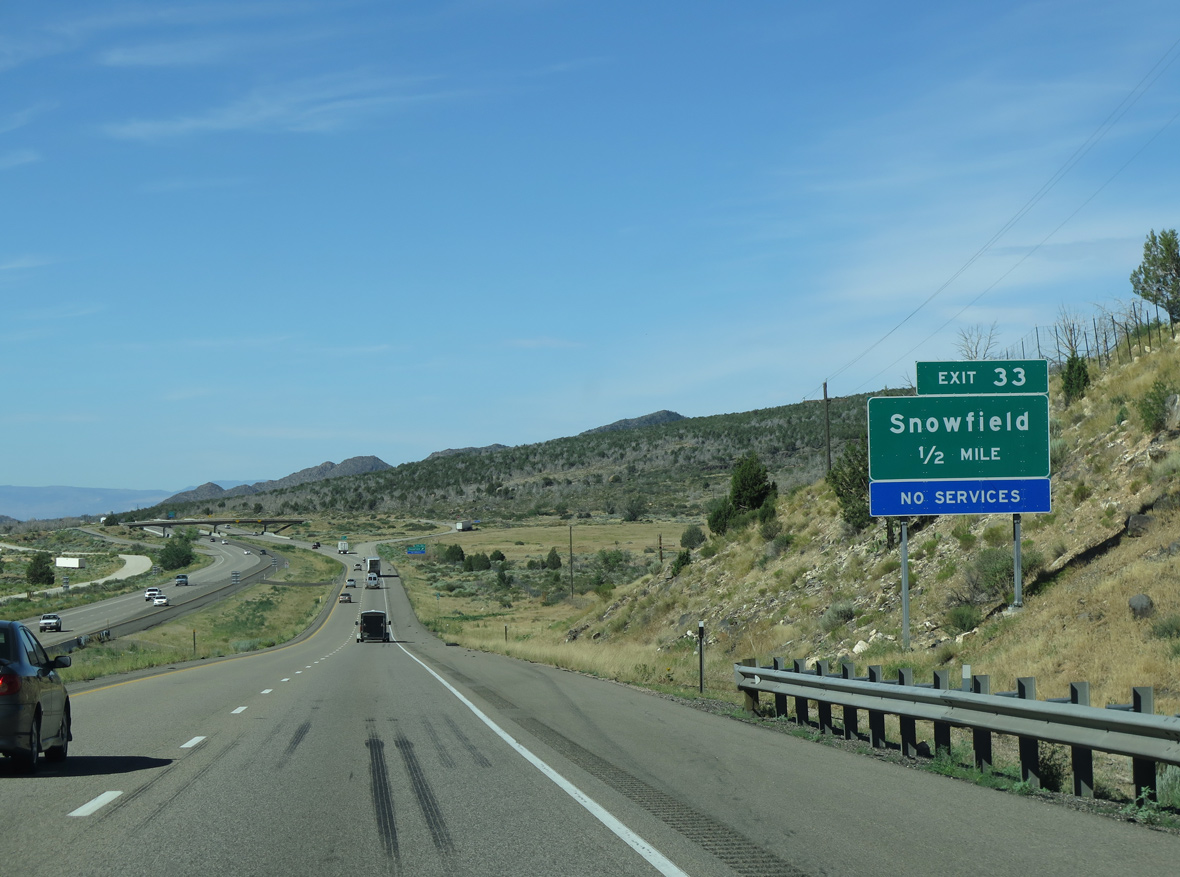
Continuing south at a 6% grade, Interstate 15 proceeds south along Black Ridge to 4,220 feet above sea level at Exit 33.
07/12/15
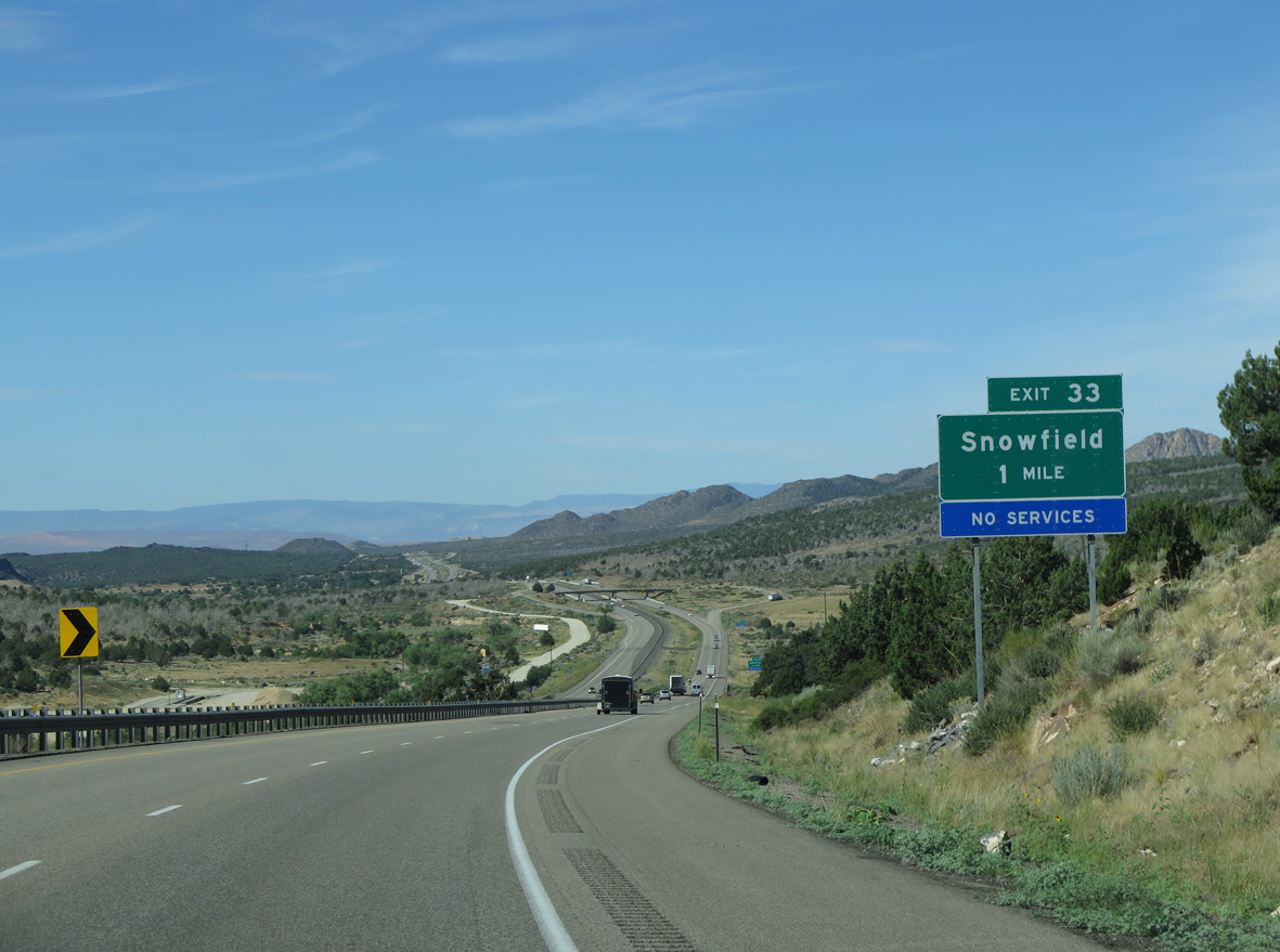
Formerly signed as a ranch exit, Exit 33 connects I-15 with 100 West and Snowfield Ranch Road.
07/12/15
07/12/15
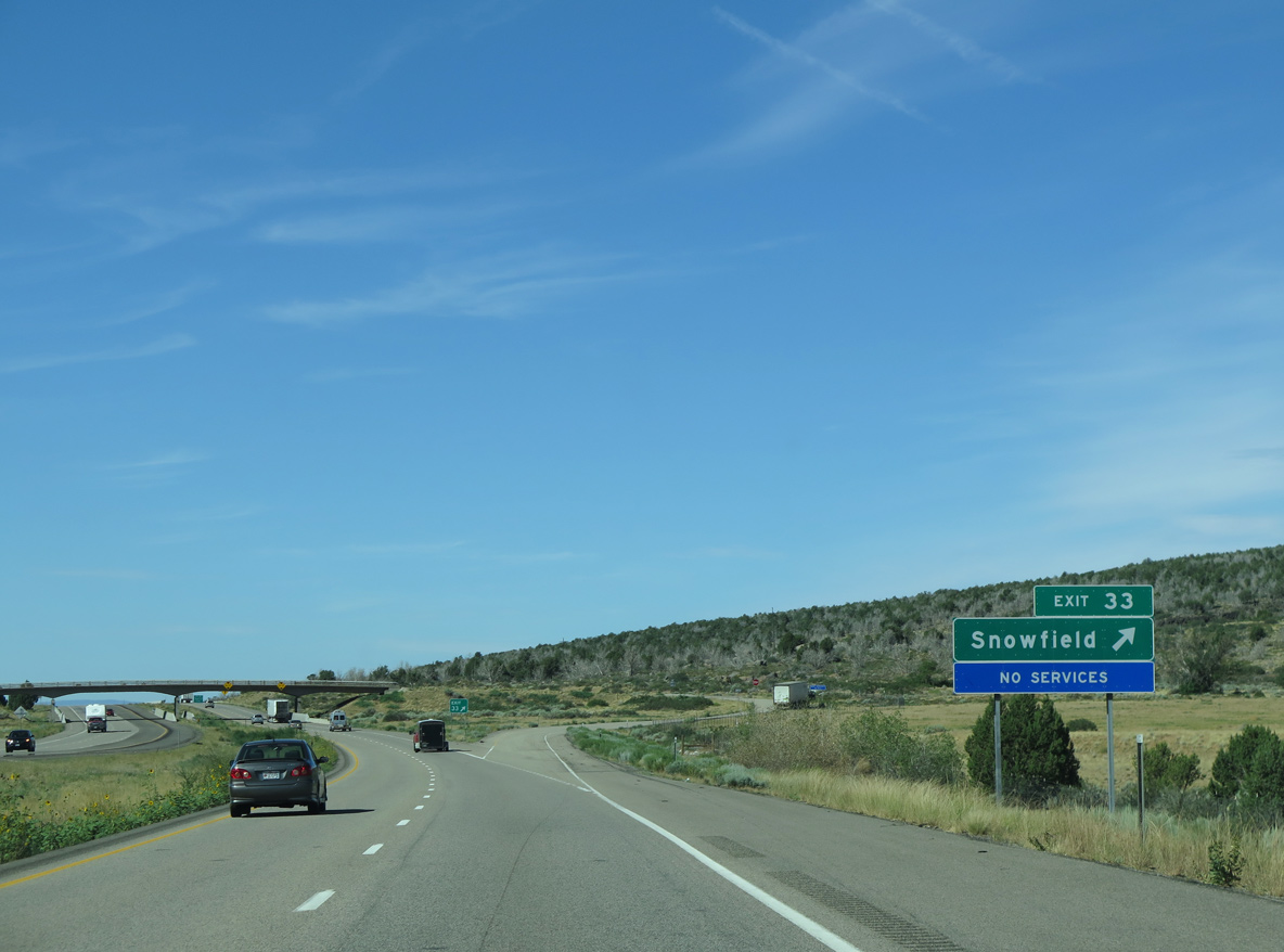
The diamond interchange (Exit 33) at Snowfield lies between Leap Creek and Ash Creek.
07/12/15

Photo Credits:
07/13/08, 08/15/10, 08/17/13, 07/12/15, 08/12/16, 07/15/17 by AARoads
Connect with:
Business Loop I-15 - Cedar City
Business Loop I-15 - Parowan
State Route 143
Page Updated 02-18-2022.