
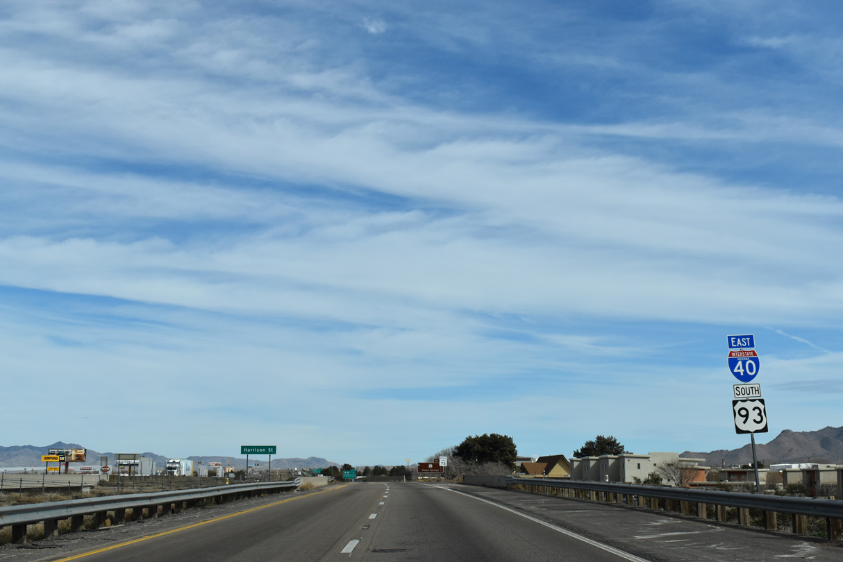
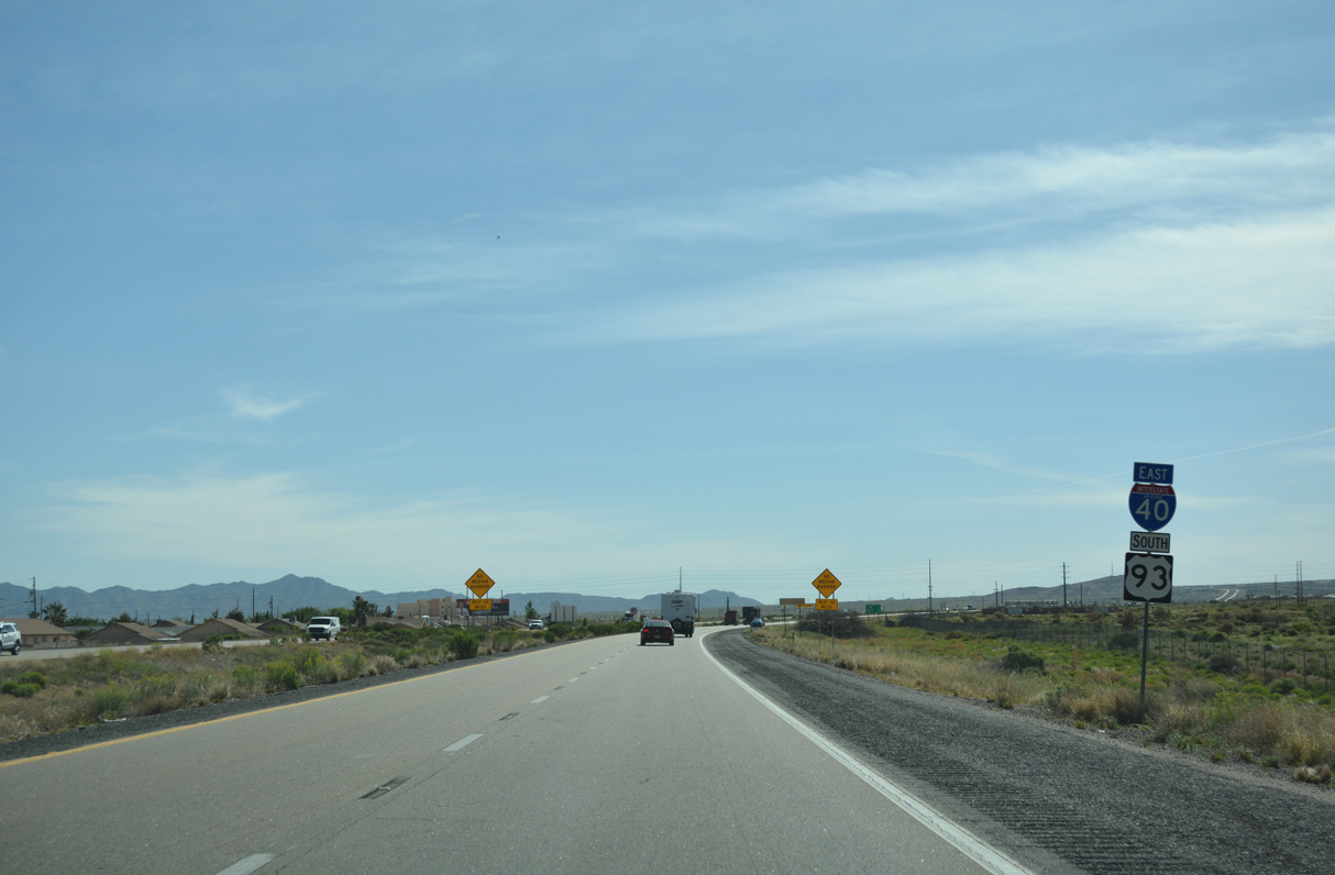
 East
East  South
South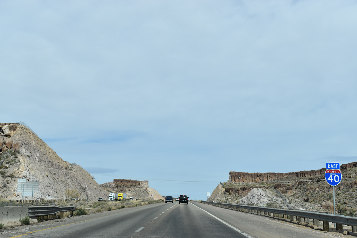
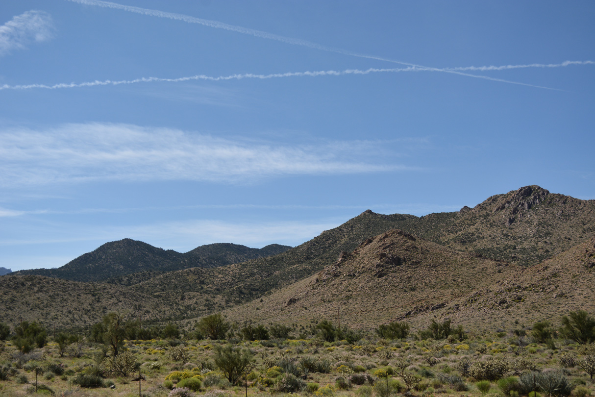
I-40/U.S. 93 arc northeast across Clack Canyon and around Cerbat Cliffs Golf Course.
03/01/19
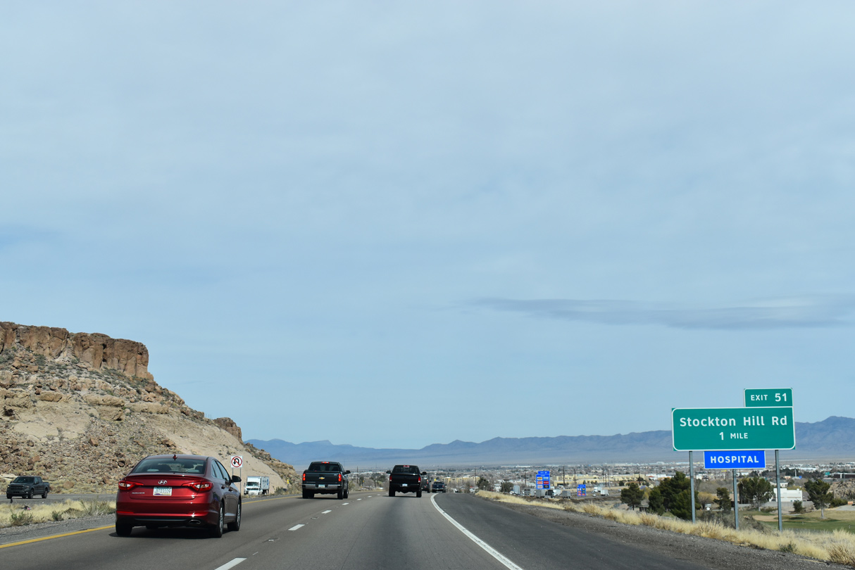
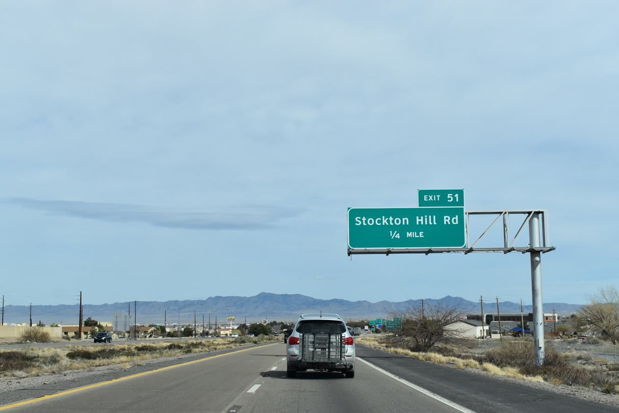
A commercialized diamond interchange links I-40/U.S. 93 with Stockton Hill Road at forthcoming Exit 51.
03/01/19
Points of interest for Exit 51 include the Mohave County Fairgrounds and Mohave Community College.
03/01/19

Stockton Hill Road extends north from Historic U.S. 66 (Andy Devine Avenue) in Kingman to Stockton and Hualapai Valley.
03/01/19
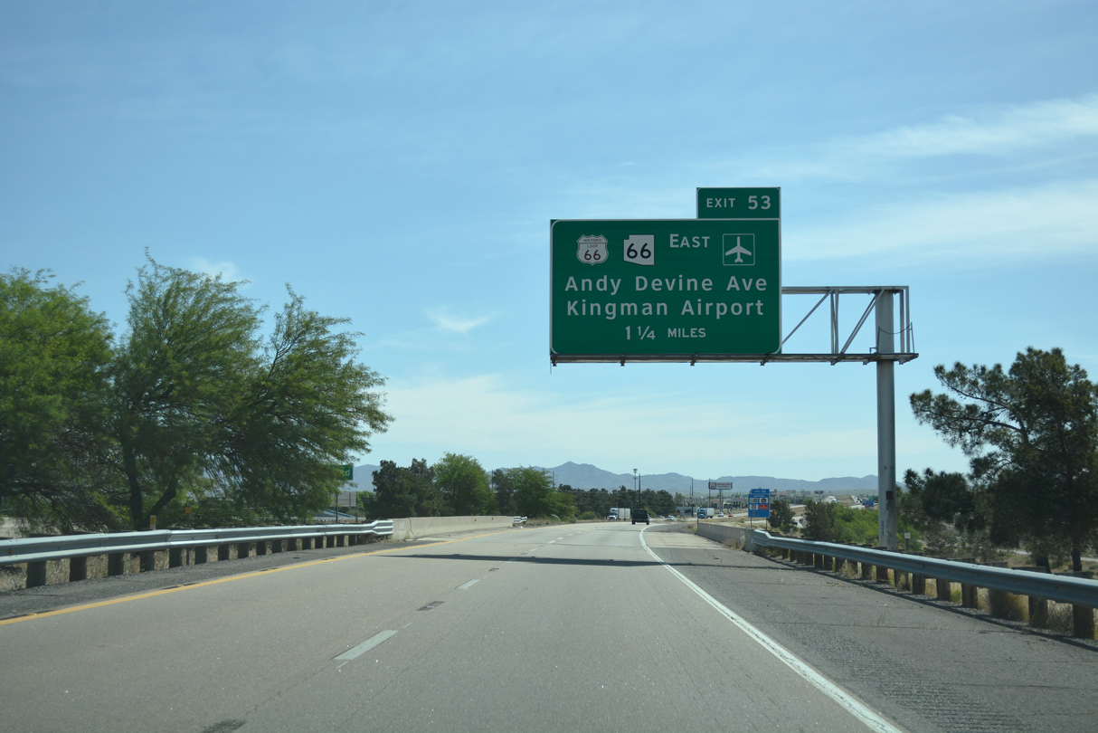
Historic U.S. 66 (Andy Devine Avenue) returns to I-40/U.S. 93 at Exit 53 with SR 66. Exit 53 also marks the east end of former Business Loop I-40.
04/27/17
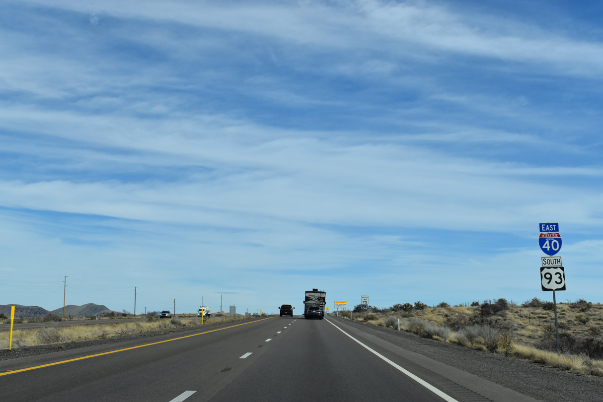
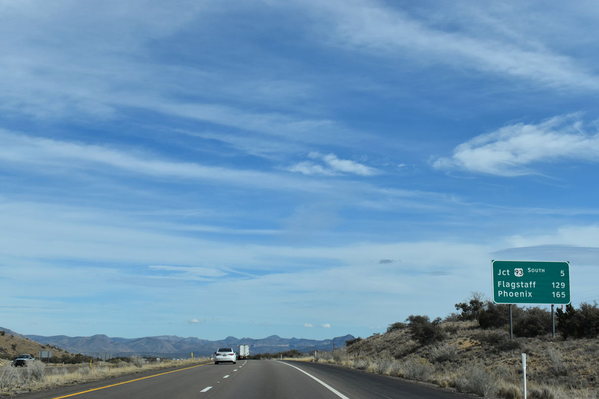
U.S. 93 runs concurrent with Interstate 40 east for 22.53 miles.
03/01/19
Exit 53 marks the access point to the longest intact stretch of U.S. 66 remaining in the United States.
04/27/17
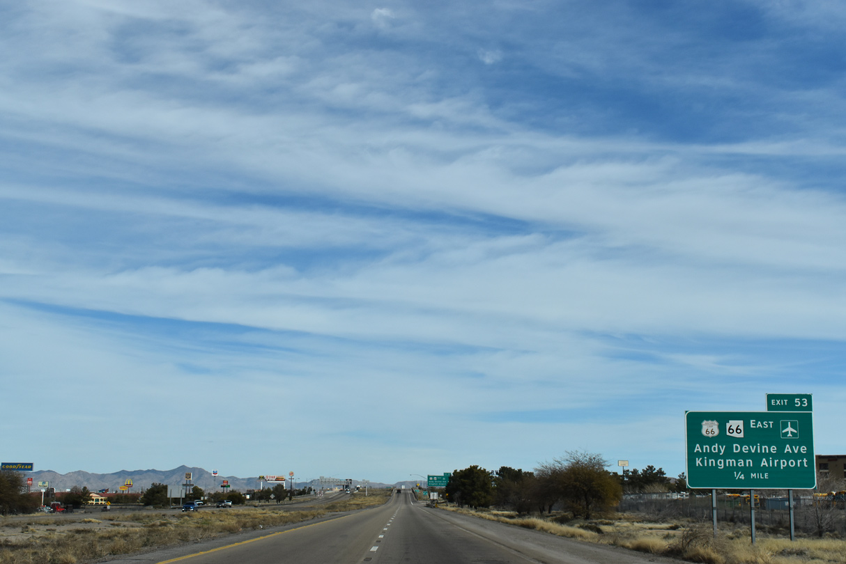
SR 66 (Andy Devine Avenue) overlays Historic U.S. 66 northeast from the parclo interchange at Exit 53 to Kingman Airport (IGM).
03/01/19

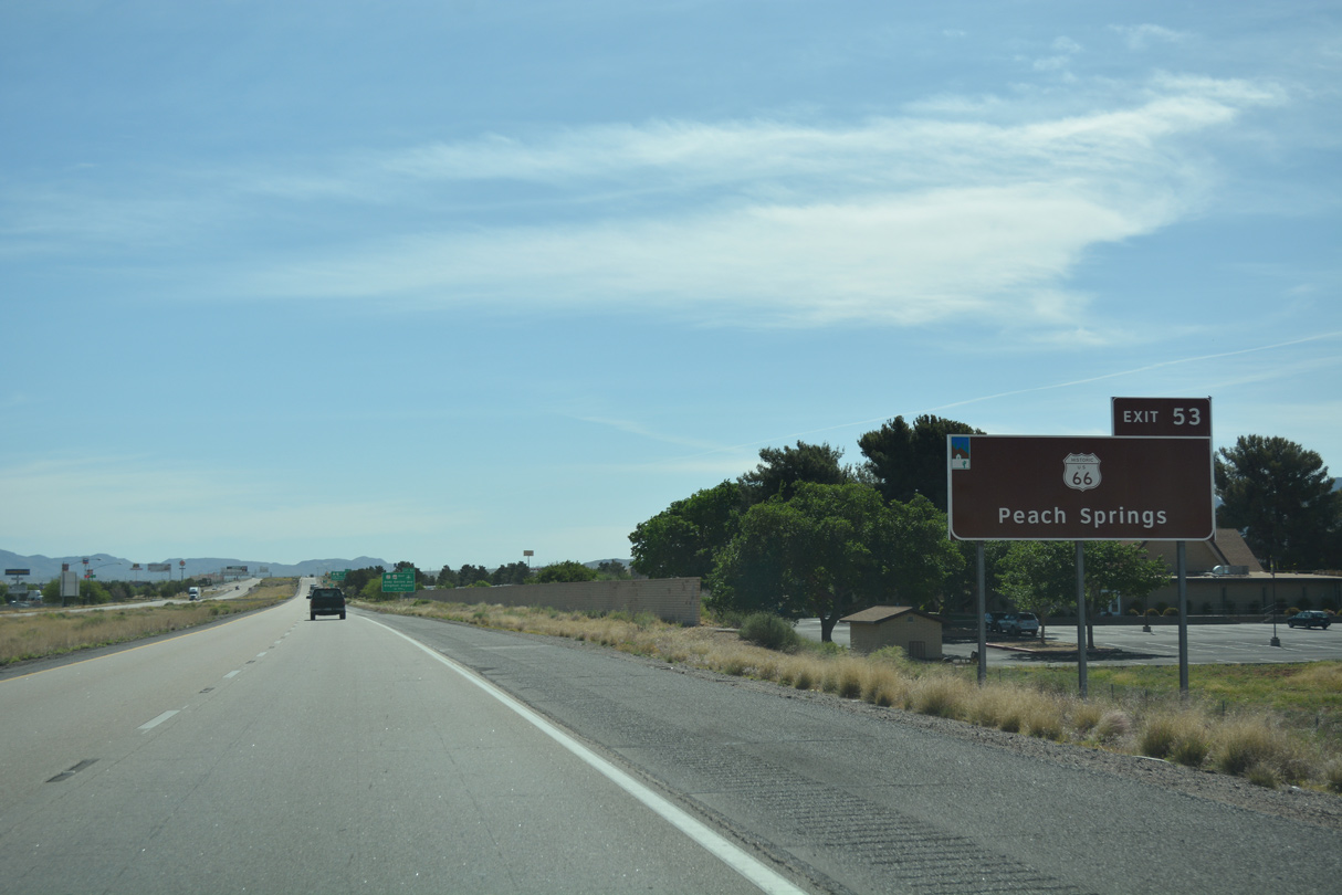
State Route 66 runs 66.74 miles miles northeast from Kingman to Antares, Truxton, Peach Springs and the end of state maintenance on Historic U.S. 66 at Pica Camp Road in the Aubrey Valley.
03/01/19
04/27/17
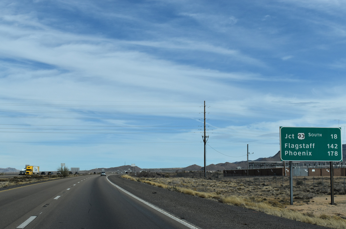
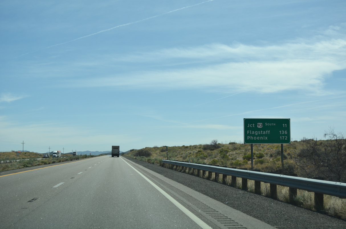
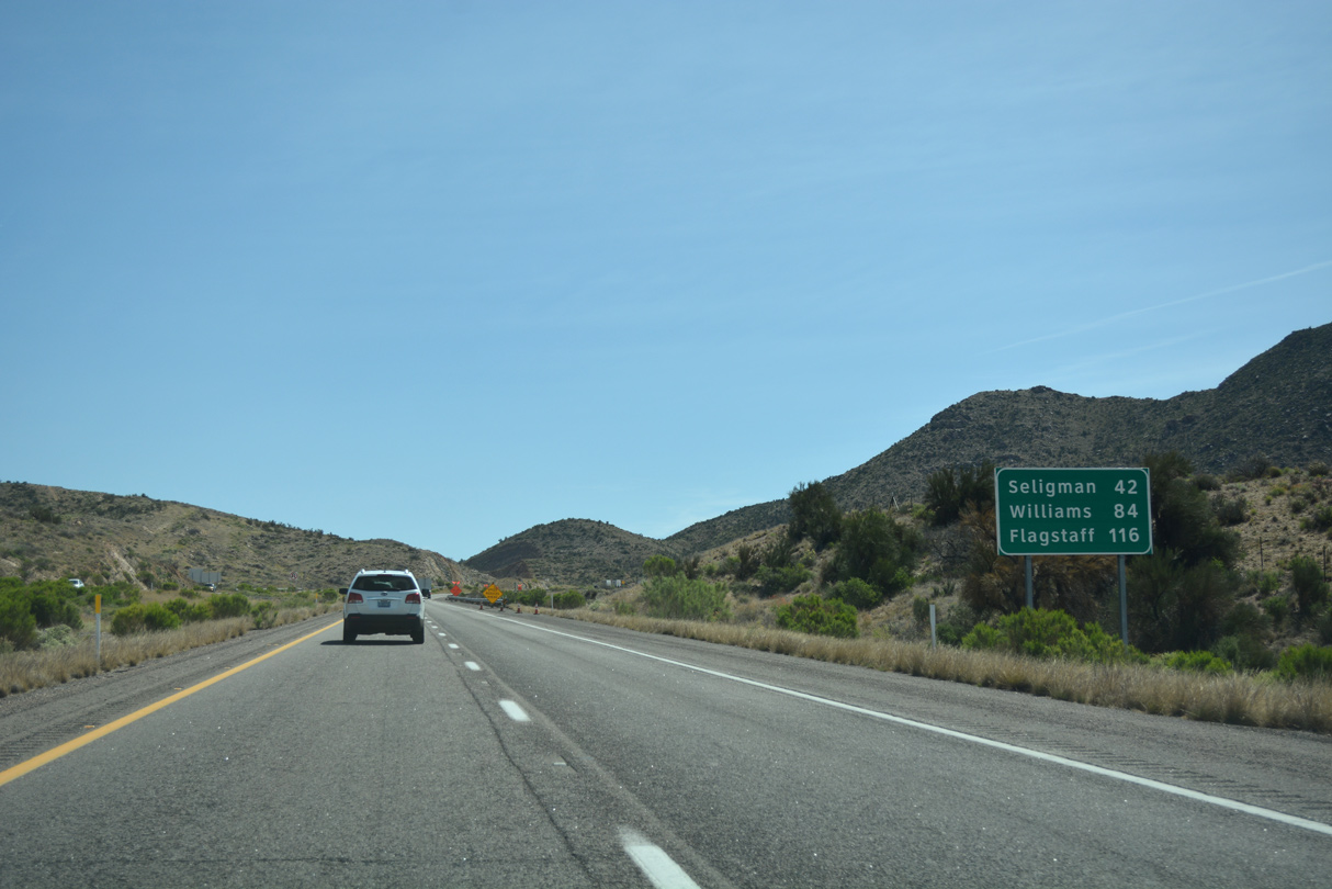
Phoenix is 178 miles southeast from Kingman via U.S. 93 and U.S. 60.
03/01/19
03/01/19
04/27/17
04/27/17
03/01/19
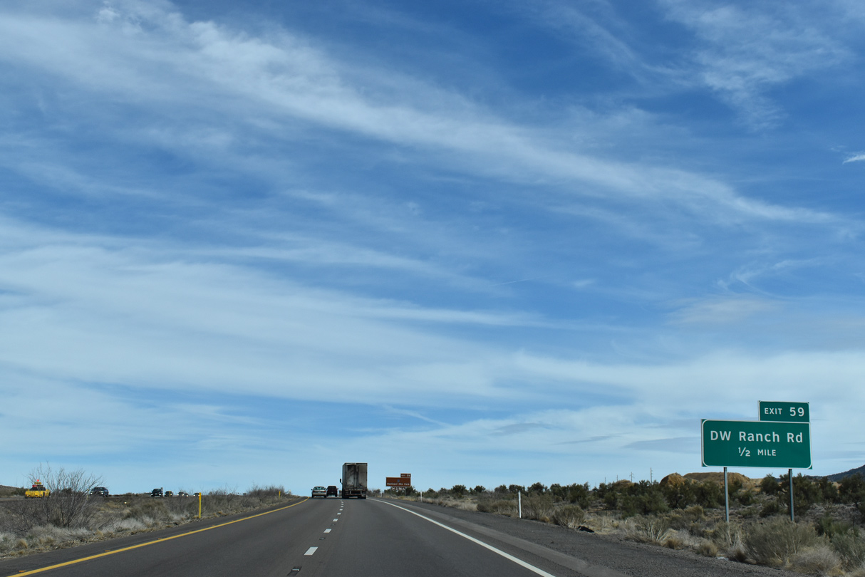
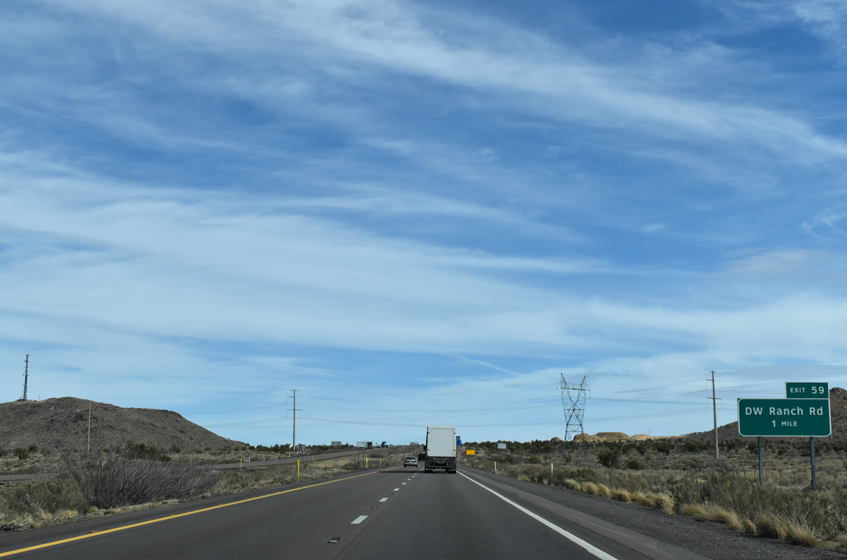
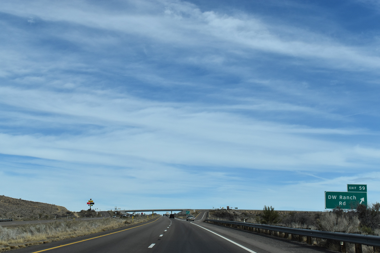
DW Ranch road is a former alignment of U.S. 93 before it was rerouted onto Interstate 40 in 1968.
03/01/19
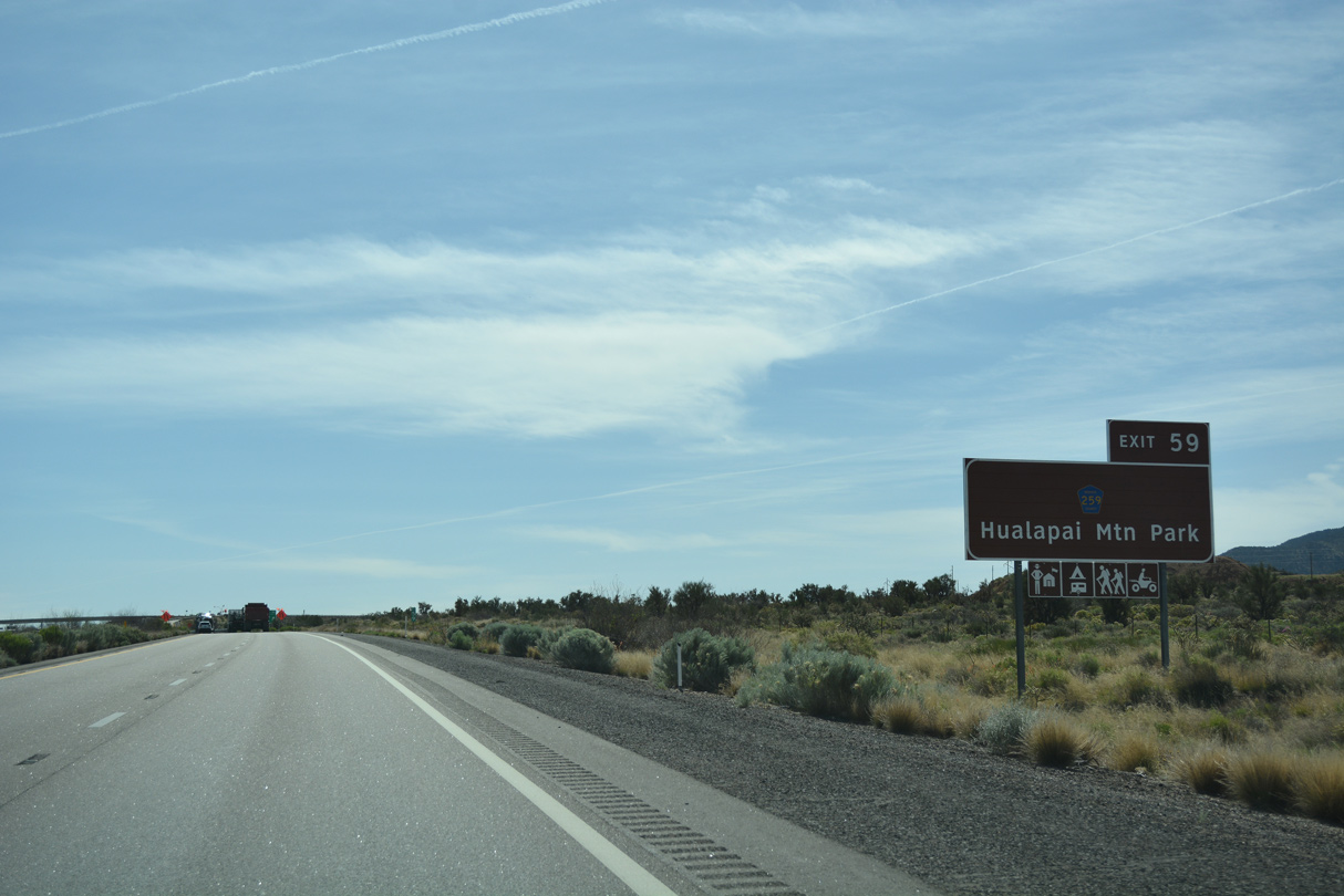
CR 259 (DW Ranch Road) south connects with Hualapai Mountain Road to Hualapai Mountain Park.
04/27/17
03/01/19
03/01/19
04/27/17
03/01/19
03/01/19
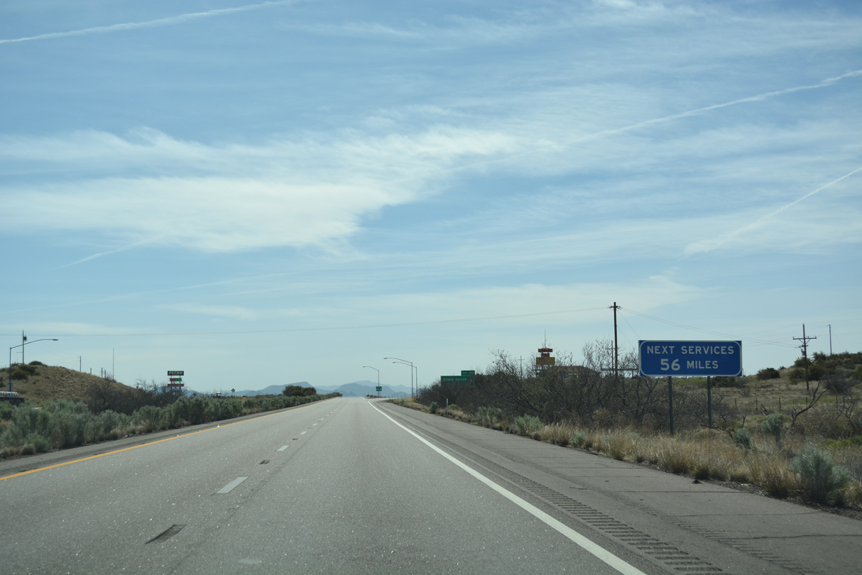
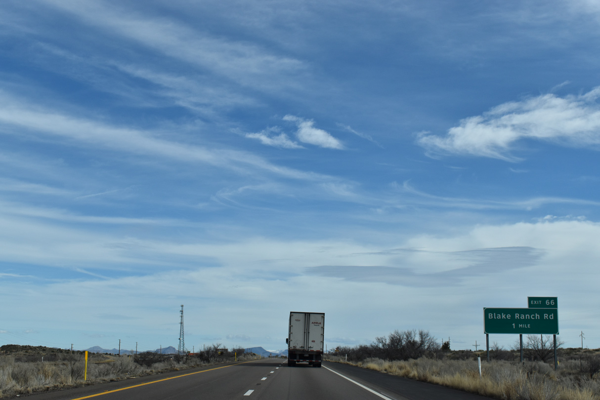
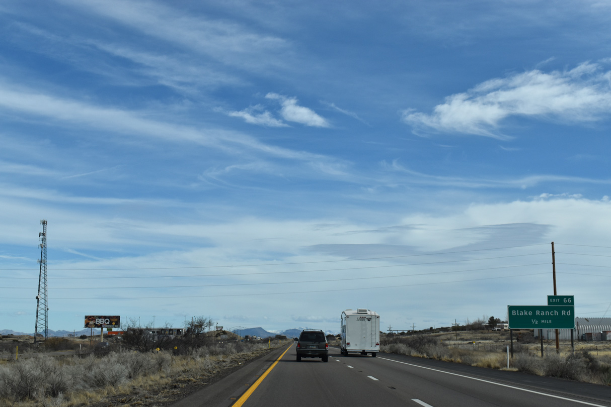
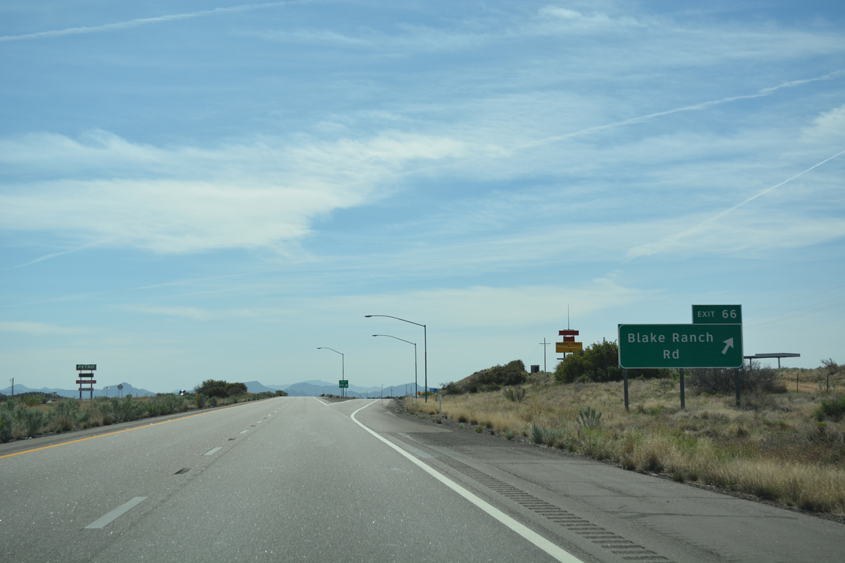
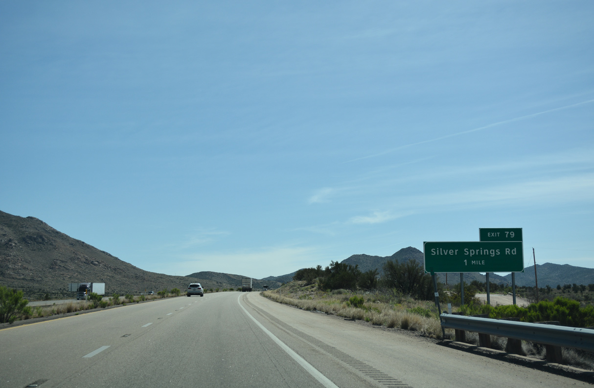
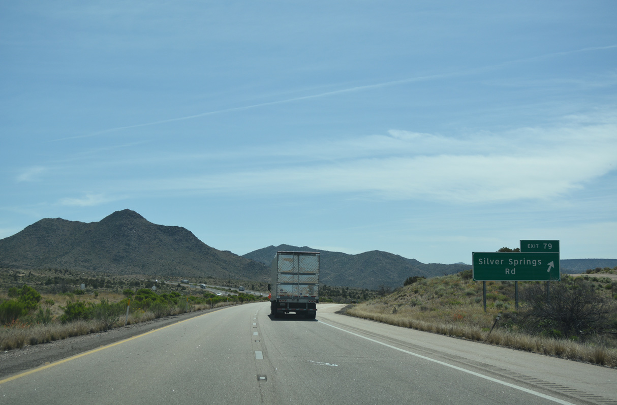
Exit 66 for Blake Ranch Road provides the last traveler services along Interstate 40 east until Seligman.
04/27/17
The former gas station just south of the diamond interchange at Exit 66 was a former Beacon Station.
04/27/17
Interstate 40 east from Kingman to Exit 71 was signed solely as U.S. 93 between 1968 and 1978.
03/01/19
03/01/19
04/27/17
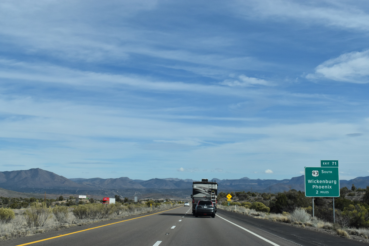
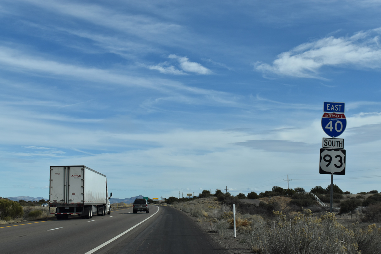
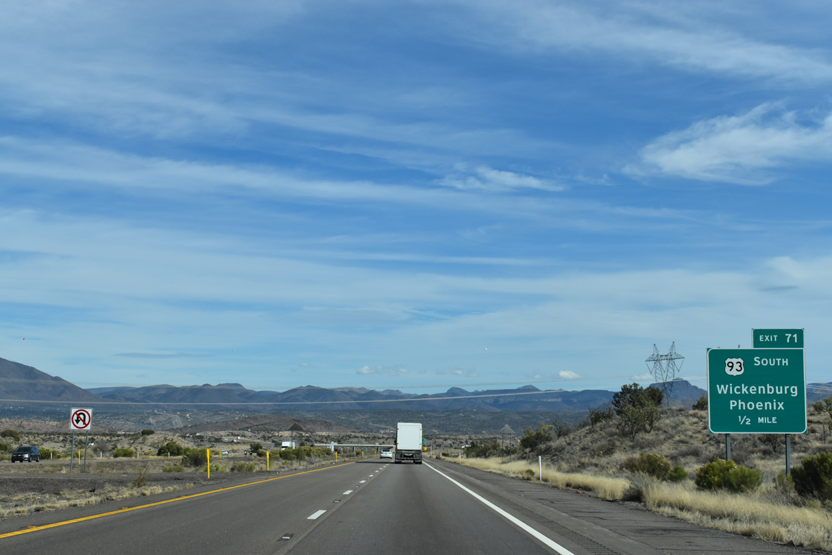
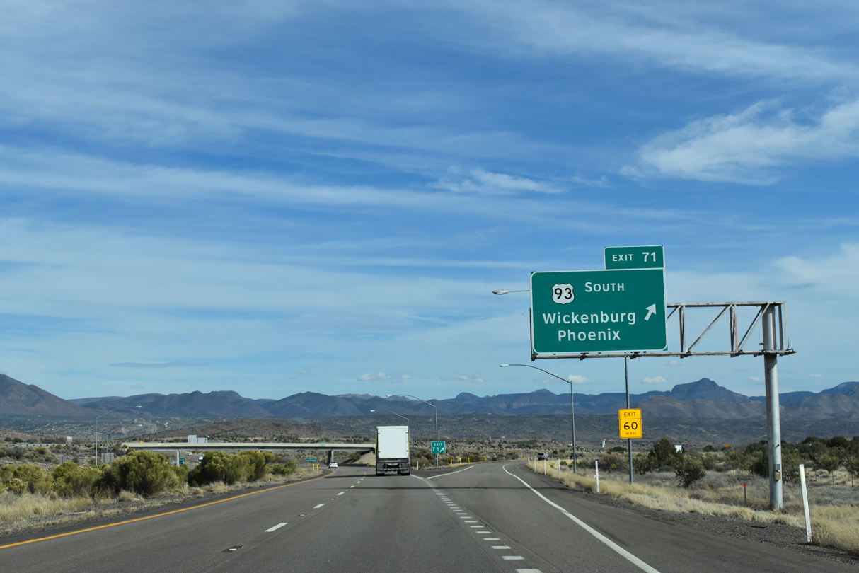
U.S. 93 south parts ways with Interstate 40 at a trumpet interchange (Exit 71) in two miles.
03/01/19
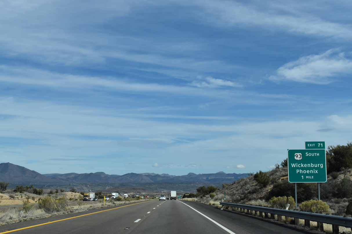
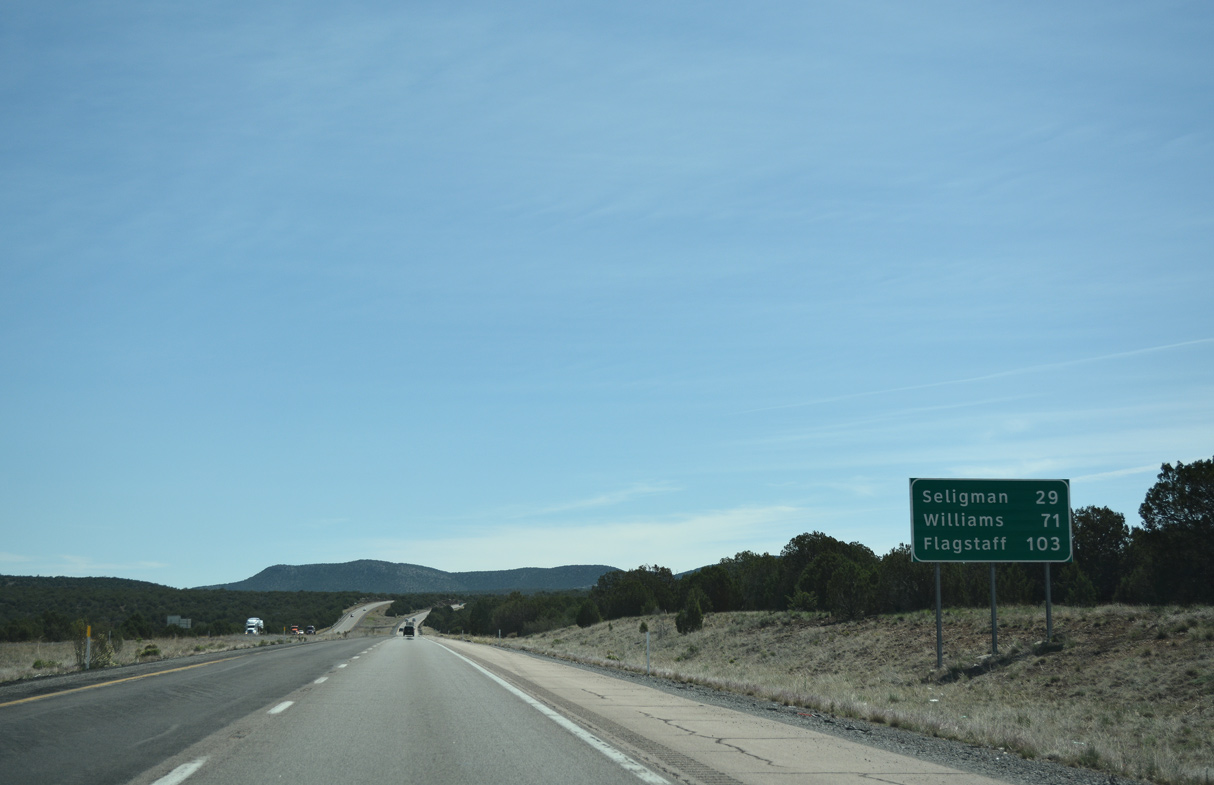
U.S. 93 travels 107.20 miles southeast from Exit 71 to U.S. 60 at Wickenburg.
03/01/19
03/01/19
03/01/19
East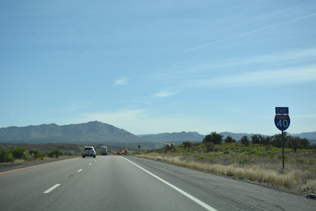
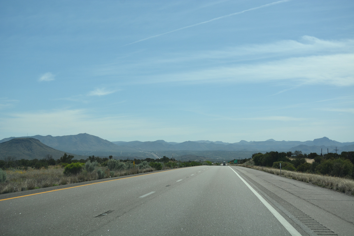
Interstate 40 advances east from U.S. 93 on an independent alignment, well south of Historic U.S. 66.
04/27/17
04/27/17

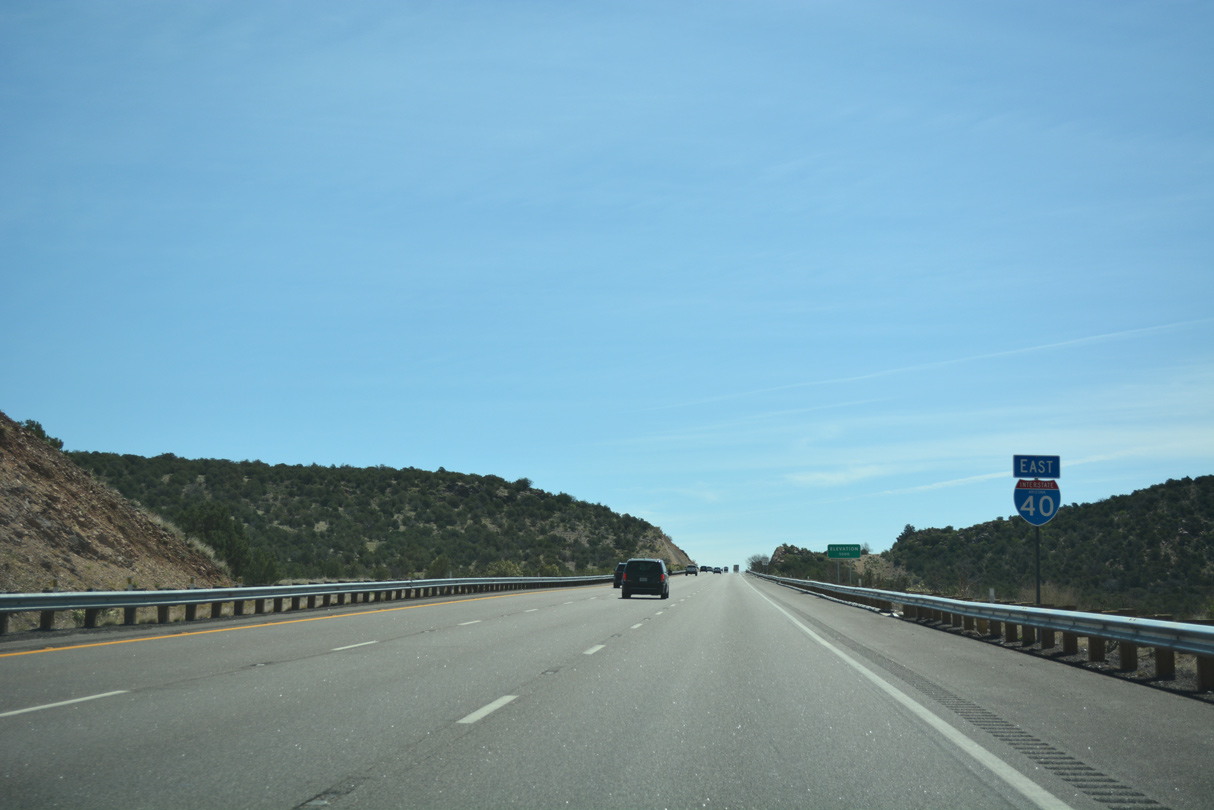
Interstate 40 is the Purple Heart Trail throughout Arizona.
03/30/07
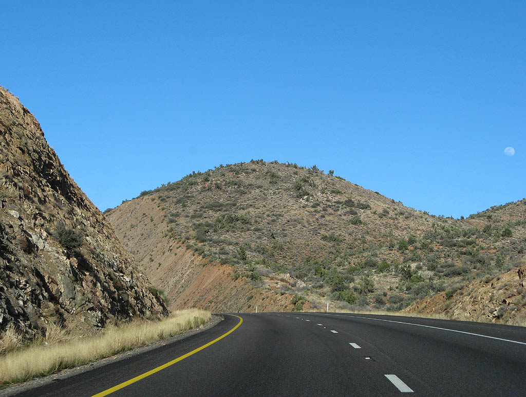
Interstate 40 enters the Cottonwood Mountains south of Tin Mountain and the Cottonwood Cliffs.
03/30/07
04/27/17
04/27/17
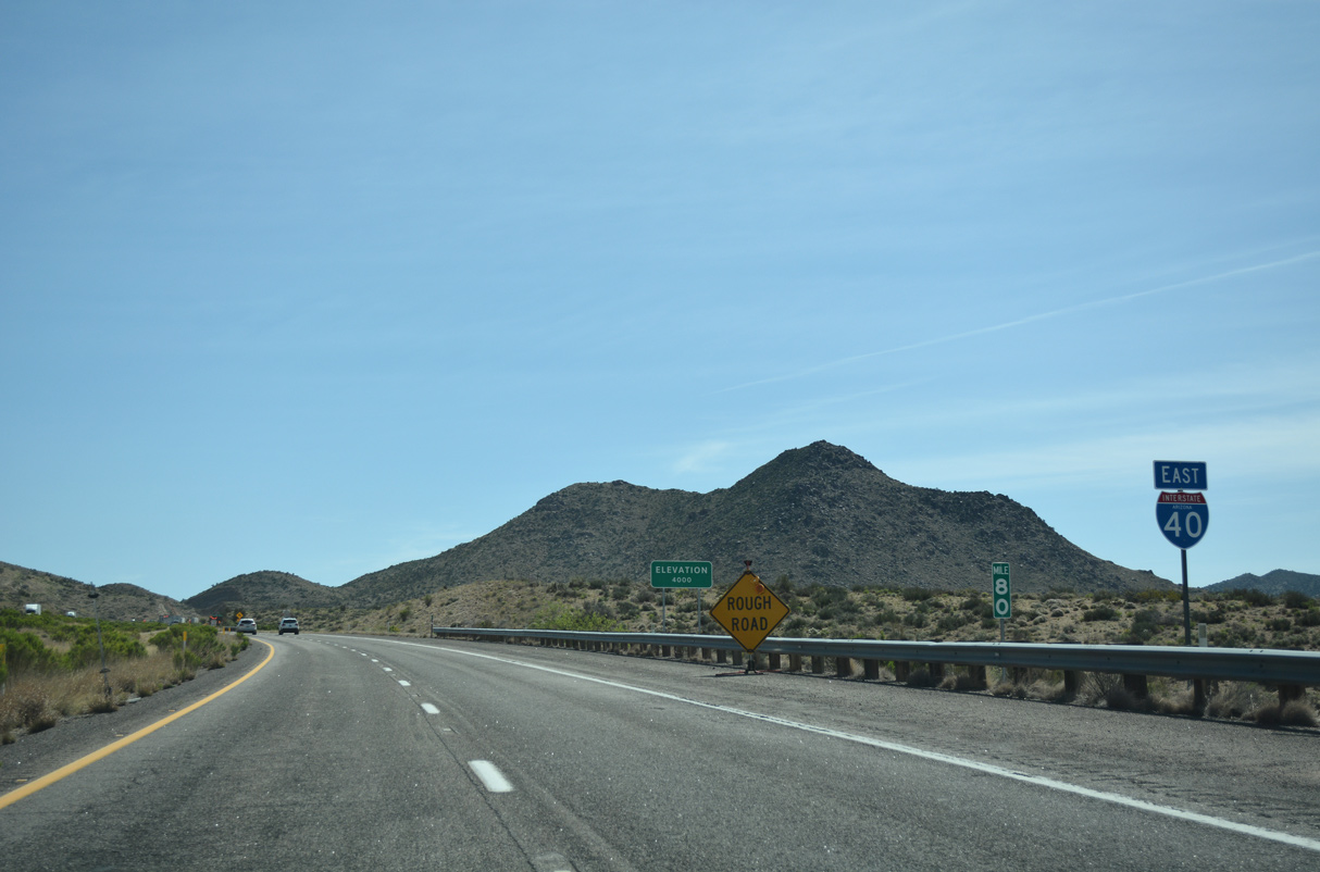
Reassurance marker posted along Interstate 40 east at milepost 80.
04/27/17
04/27/17
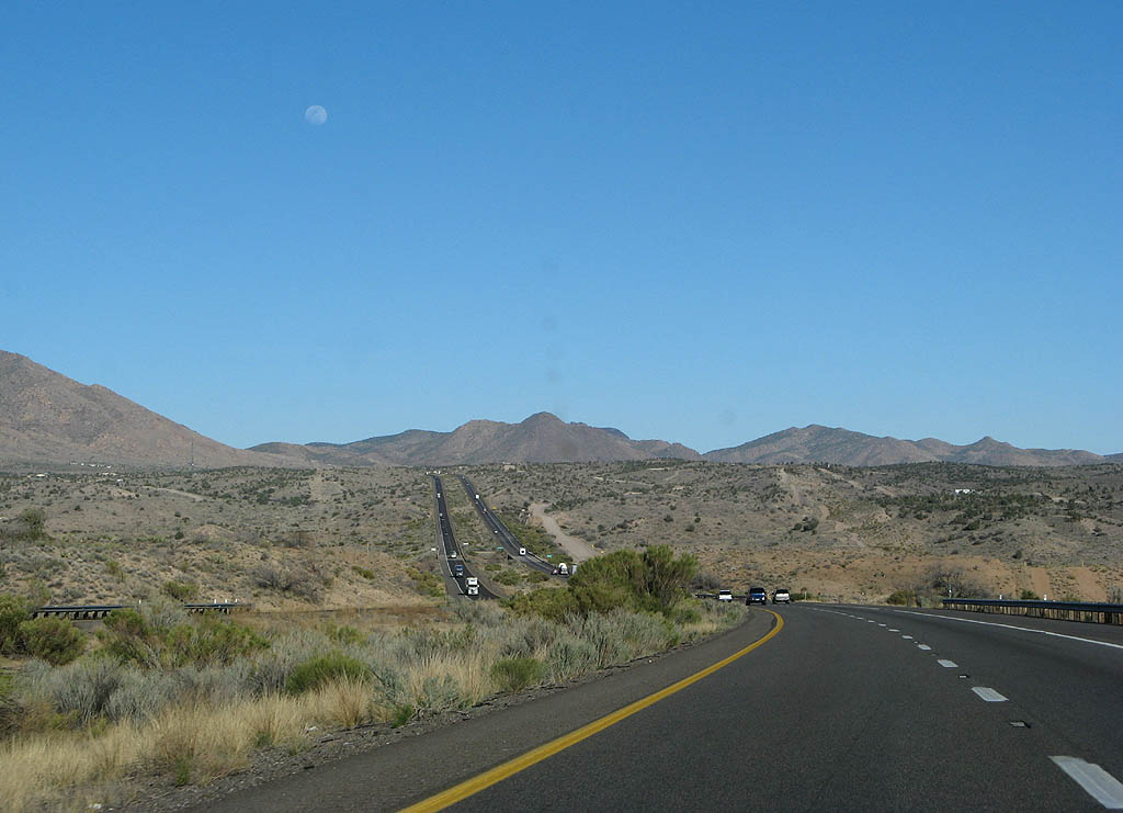
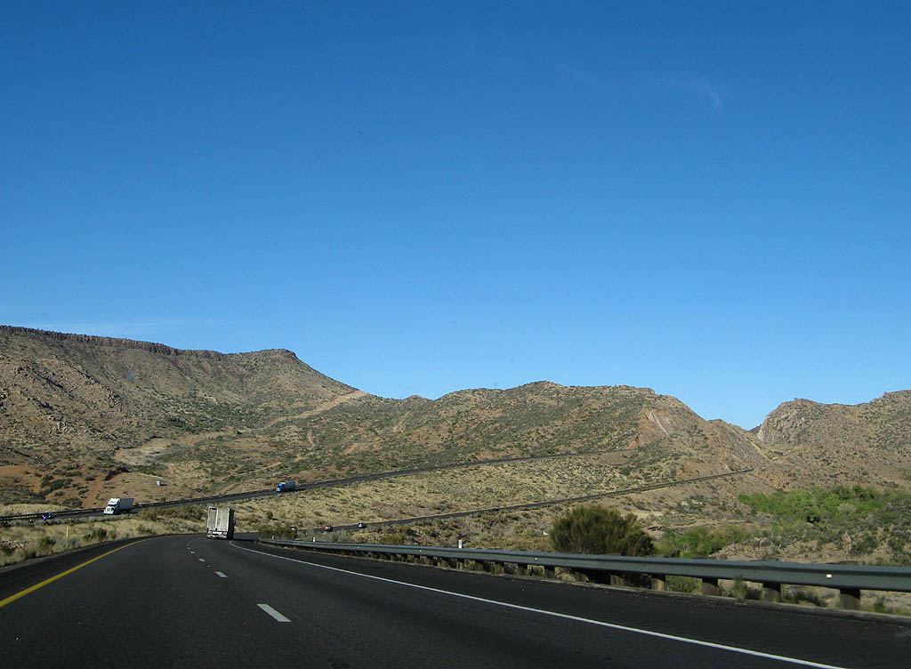
Gaining elevation ahead of Willow Creek, the roadways of Interstate 40 separate.
03/30/07
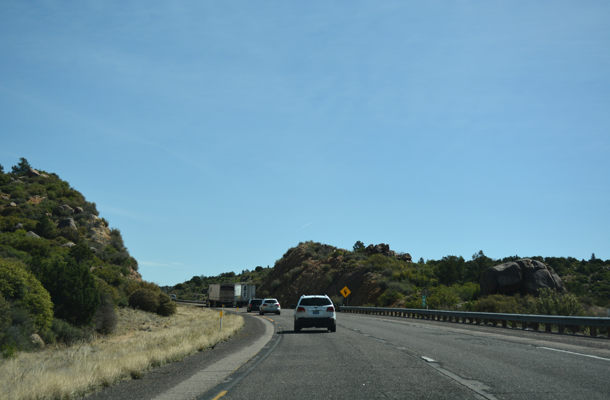
Interstate 40 winds between the Aquarius and Cottonwood Mountains as it gradually climbs above 5000 feet in elevation.
03/30/07
Eastbound Interstate 40 crosses Willow Creek twice just beyond mile marker 83.
04/27/17
Elk become more common at higher altitudes in Arizona, and Interstate 40 travels through elk country all the way past Flagstaff.
04/27/17
04/27/17

04/27/17
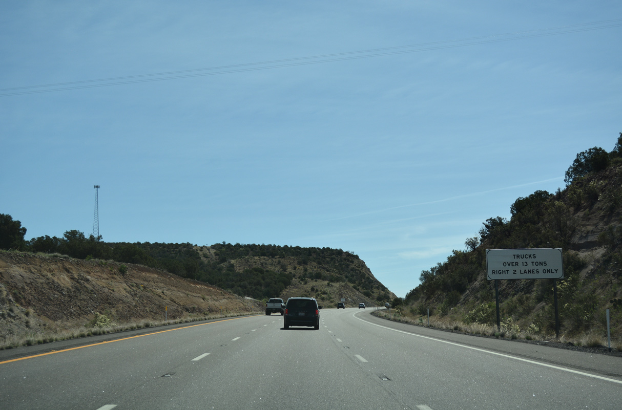
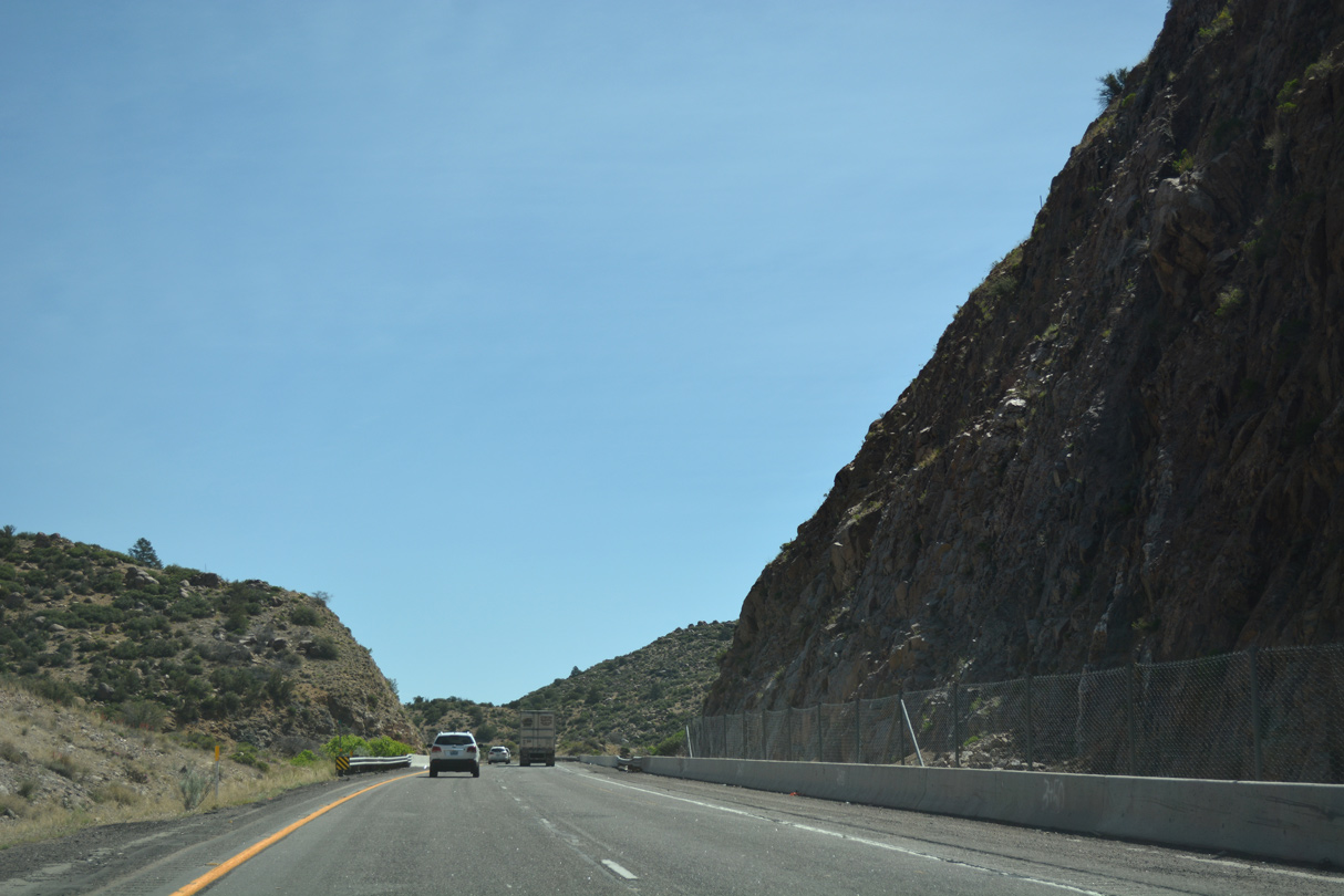
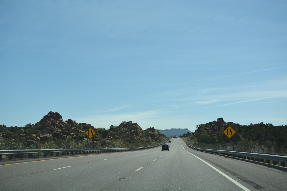
Trucks are restricted to the right two lanes on the grade beyond Exit 87.
04/27/17
04/27/17
04/27/17
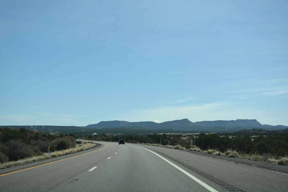
Interstate 40 passes Miller Peak as it climbs to an intermediate elevation of 5200 feet.
04/27/17
04/27/17
04/27/17
04/27/17
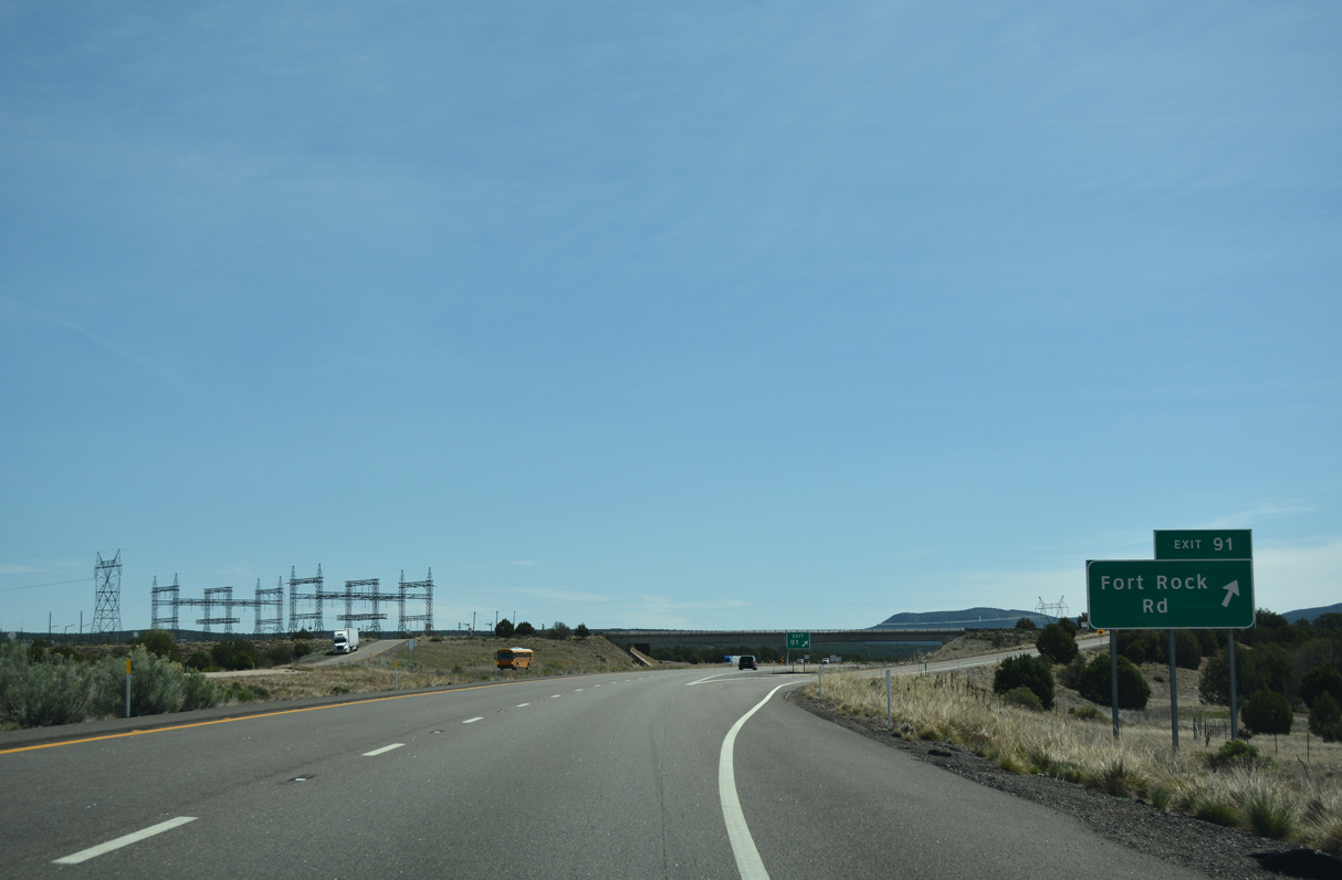
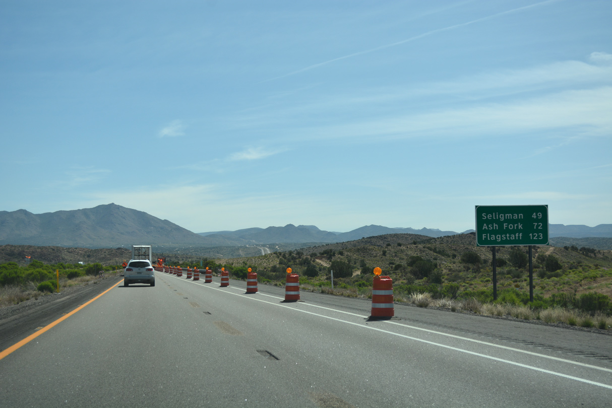
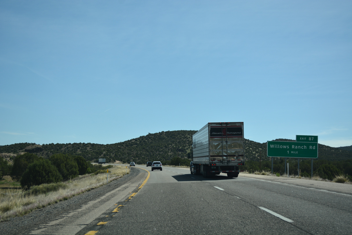
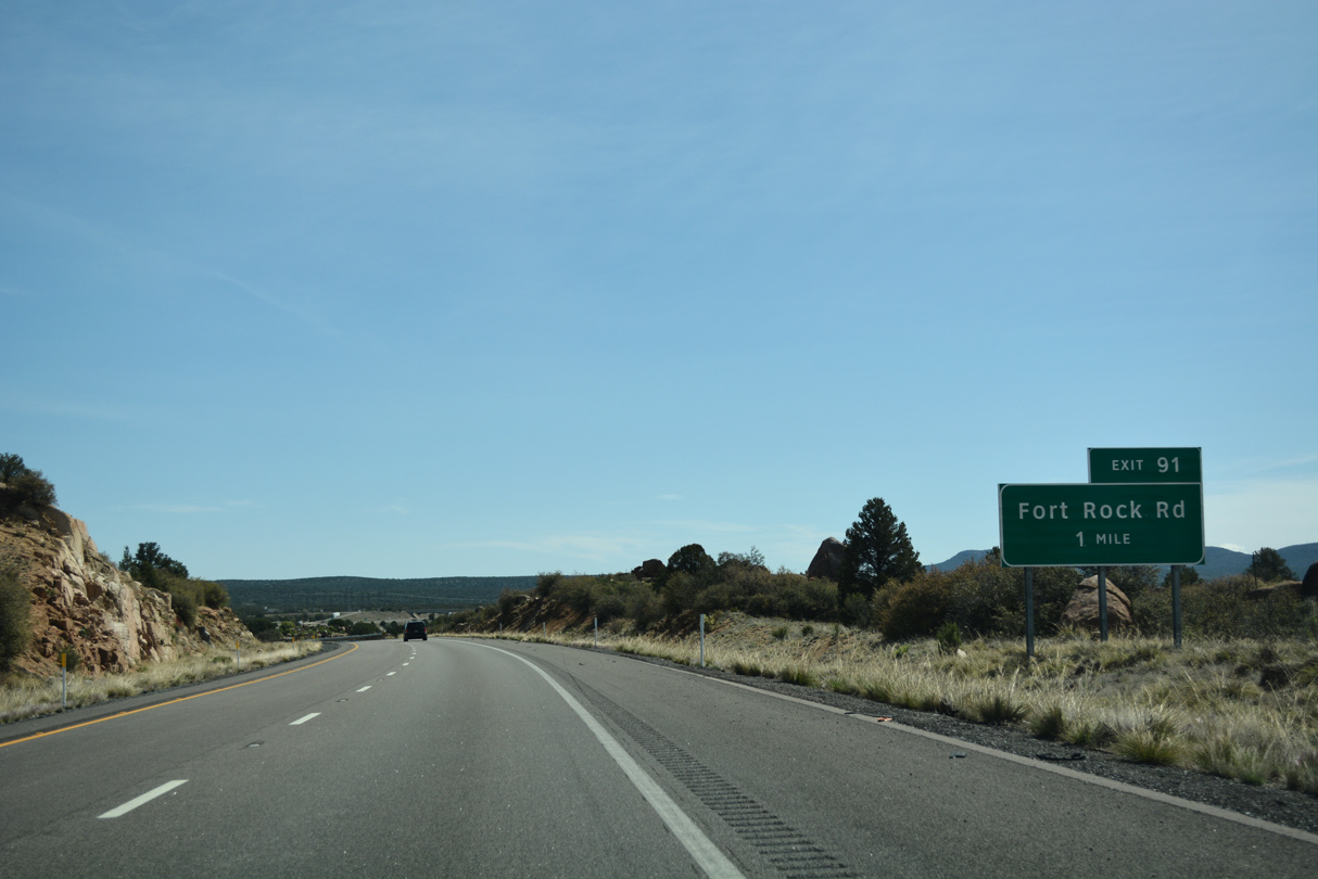
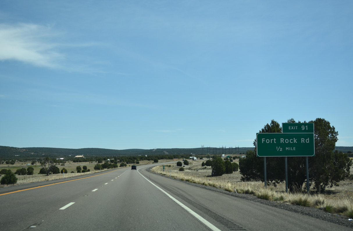
Fort Rock Road is one of several exits catering to local ranches between U.S. 93 and Seligman.
04/27/17
04/27/17
04/27/17
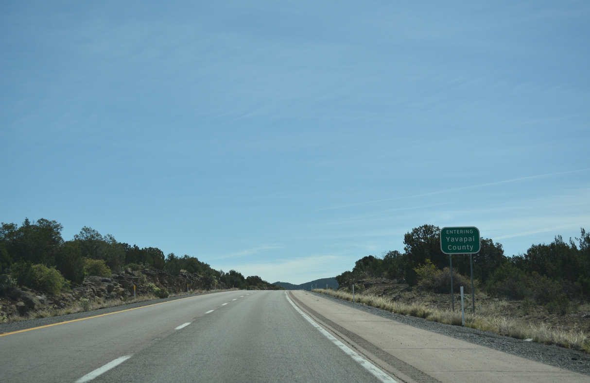
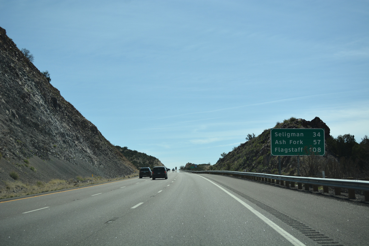
Interstate 40 enters Yavapai County 95.84 miles east from the California border.
04/27/17
Photo Credits:
- 03/30/07 by Kevin Trinkle.
- 04/27/17 by AARoads.
- 03/01/19 by AARoads.
Connect with:
U.S. 93
Page Updated 03-30-2022.