

 West
West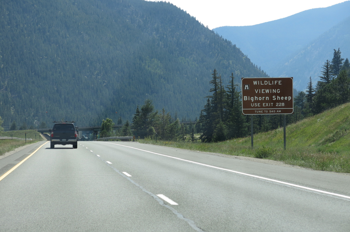
08/15/13
08/15/13
08/15/13
08/15/13
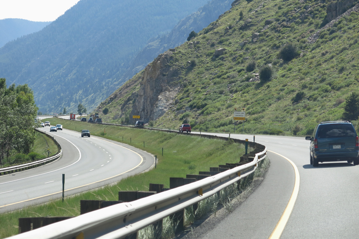
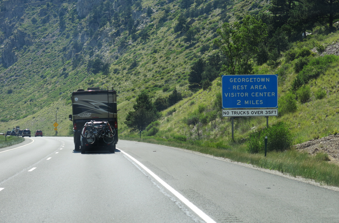
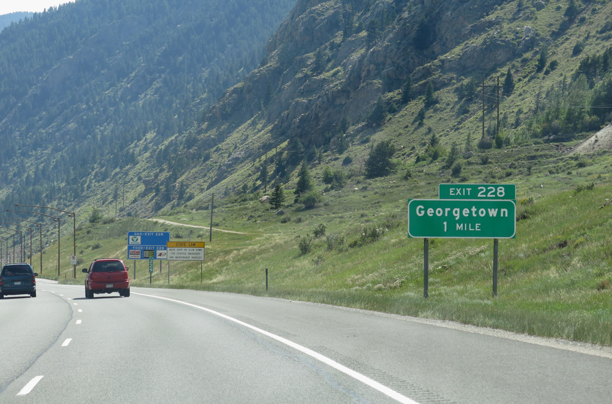
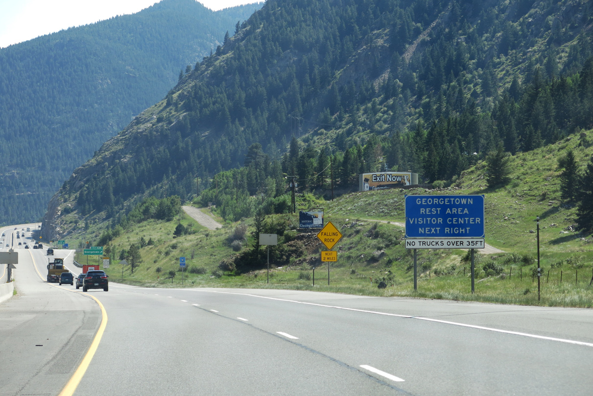
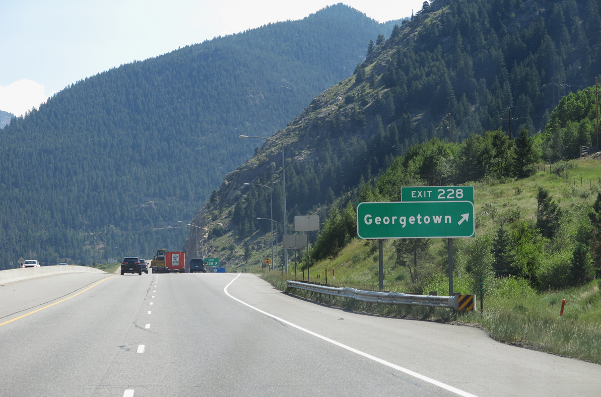
I-70/U.S. 6 enters the the town of Georgetown (el. 8,519 feet) along the east side of Columbia Mountain.
08/15/13
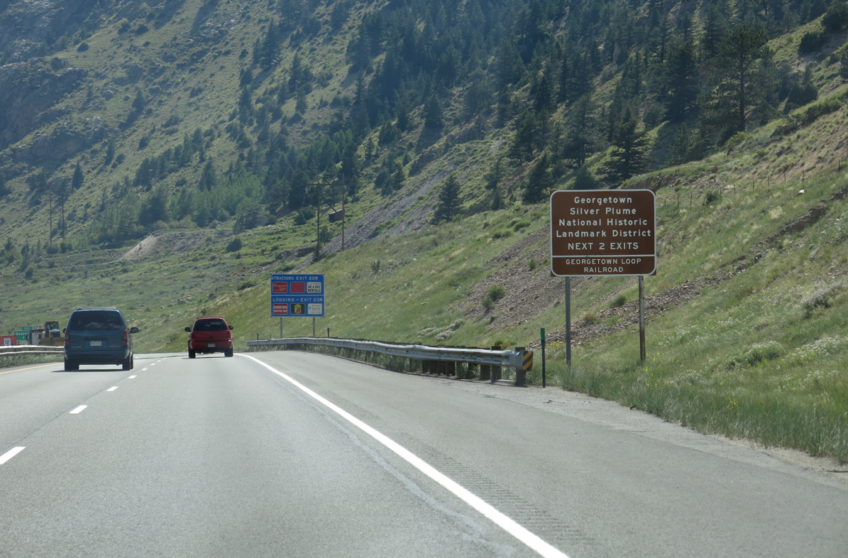
Georgetown had a population of 1,118 per the 2020 census and is home to the famous Georgetown Loop Railroad.
08/15/13
08/15/13
08/15/13
08/15/13
08/15/13
08/15/13
08/15/13
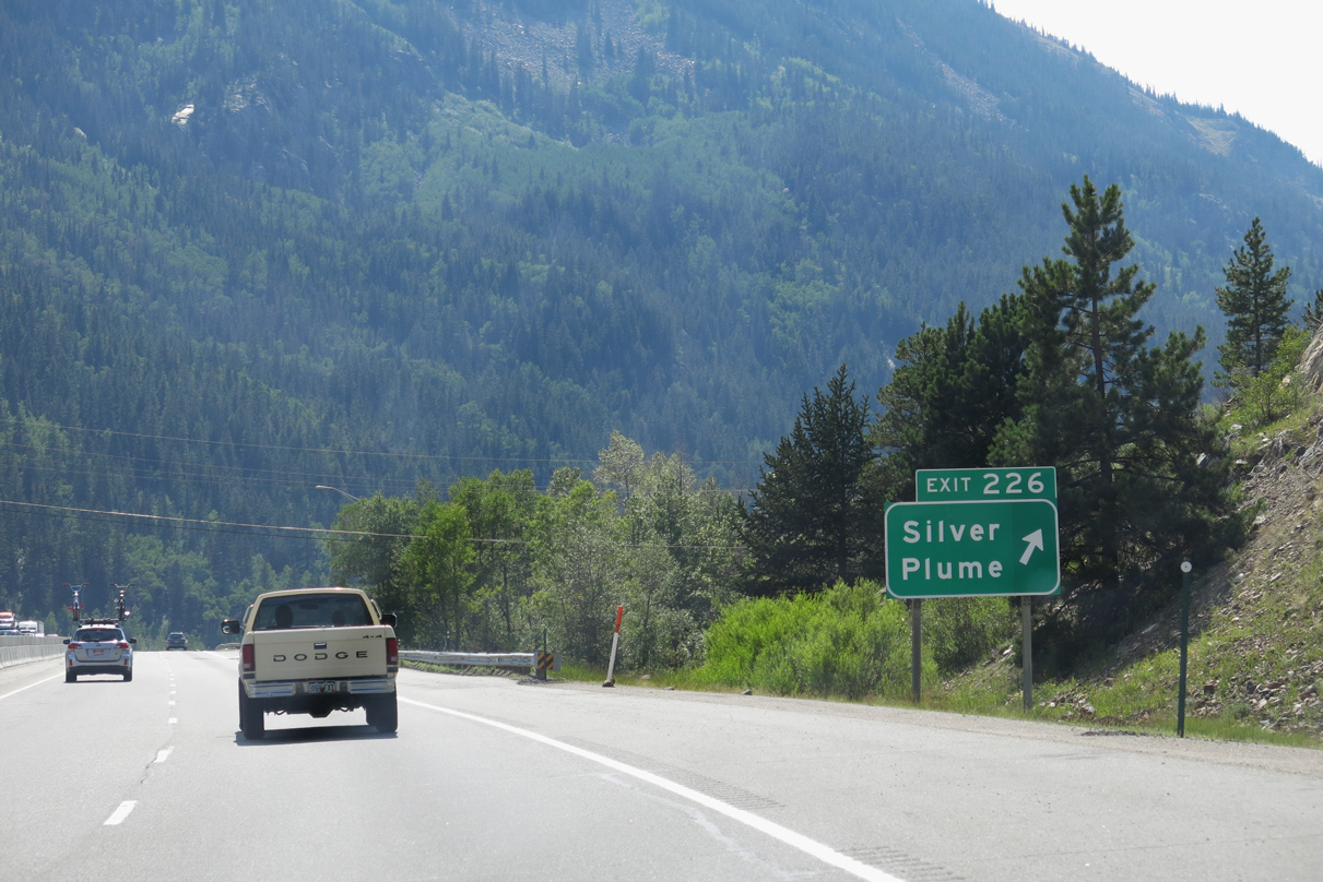
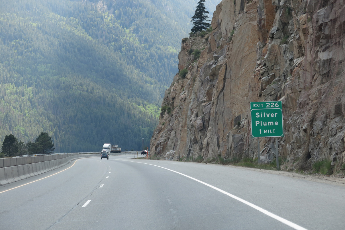
One of the highest towns in Colorado, Silver Plume sits at 9,118 feet above sea level. Only 179 lived in the community as of the 2020 Census.
08/15/13
11/08/03
08/15/13
11/08/03
08/15/13
08/15/13
08/15/13
08/15/13
08/15/13
08/15/13
Mount Bethel rises to an elevation of 12,705 feet west beyond Exit 218.
08/15/13
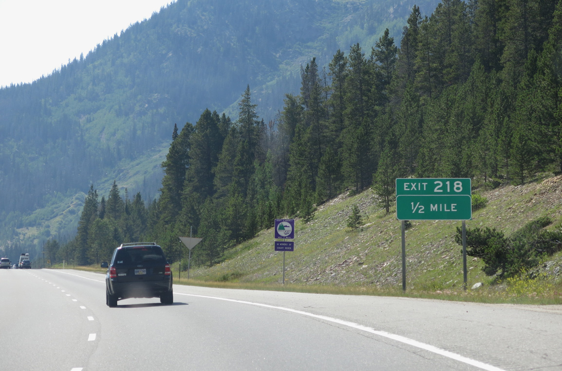
I-70/U.S. 6 enter Arapaho National Forest ahead of the diamond interchange at Exit 218 for Herman Gulch Trail.
08/15/13

08/15/13
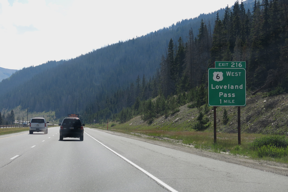
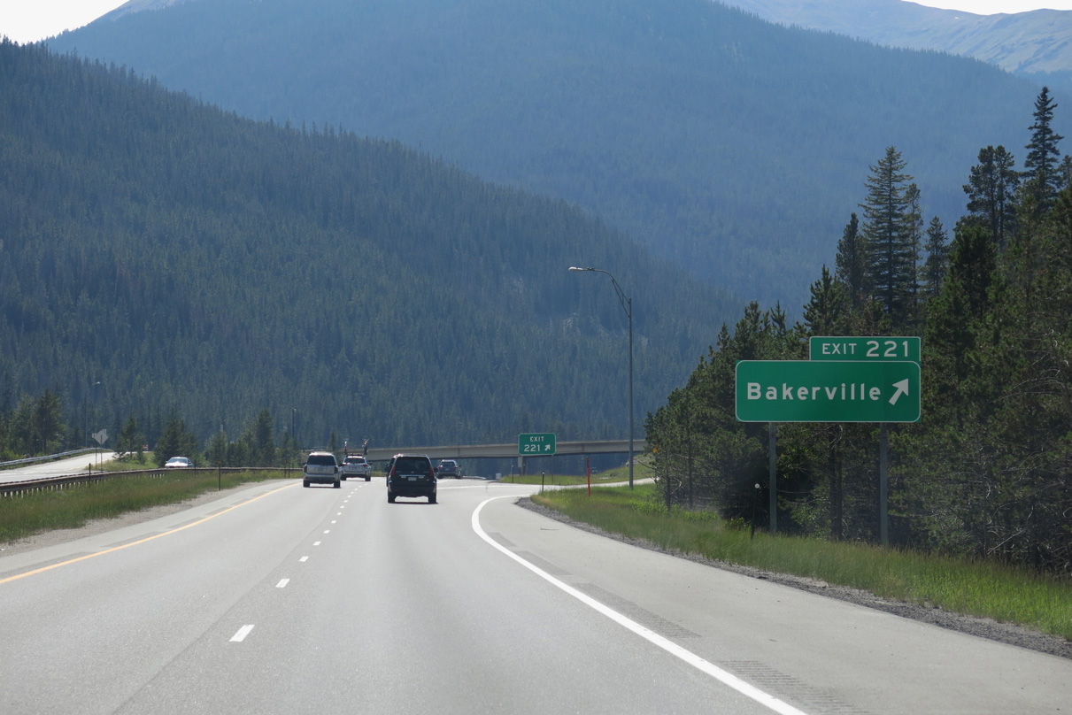
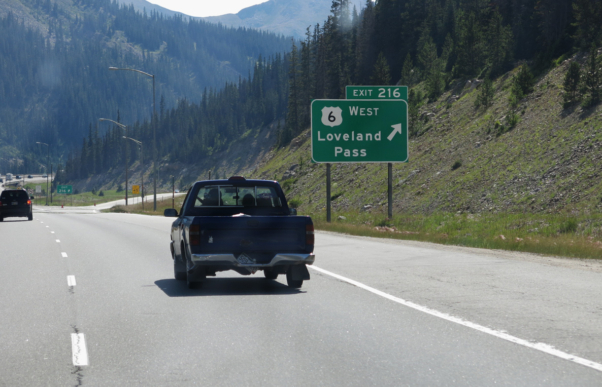
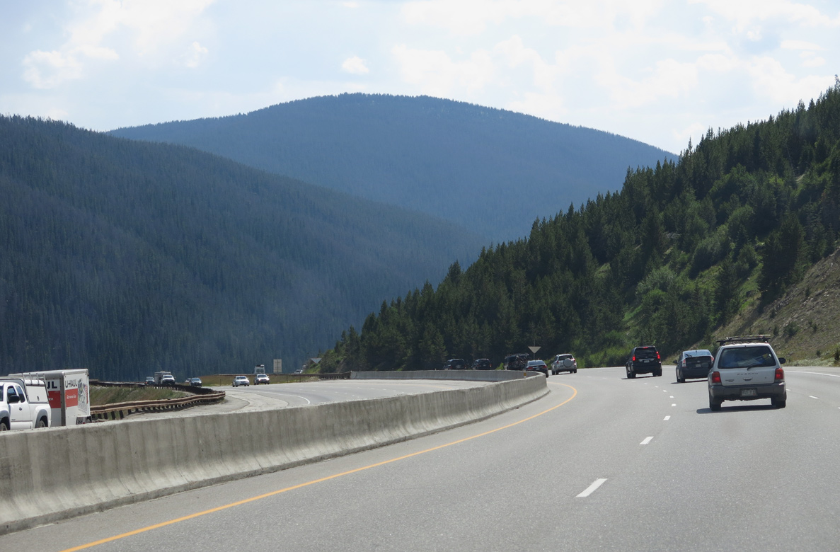
U.S. 6 and Interstate 70 separate again at Exit 216. The 21.24 mile long segment (Route 006F) along U.S. 6 climbs to the top of Loveland Pass from nearby Loveland Ski Resort.
08/15/13
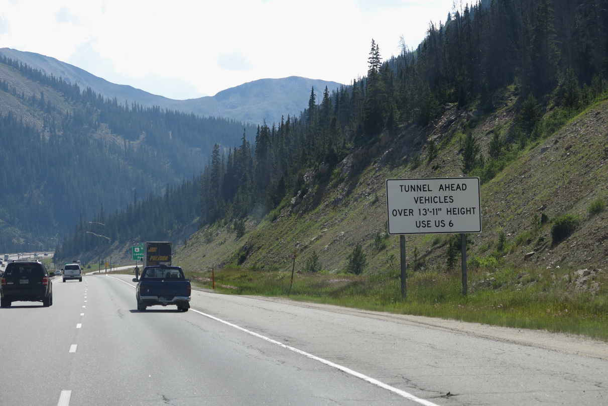
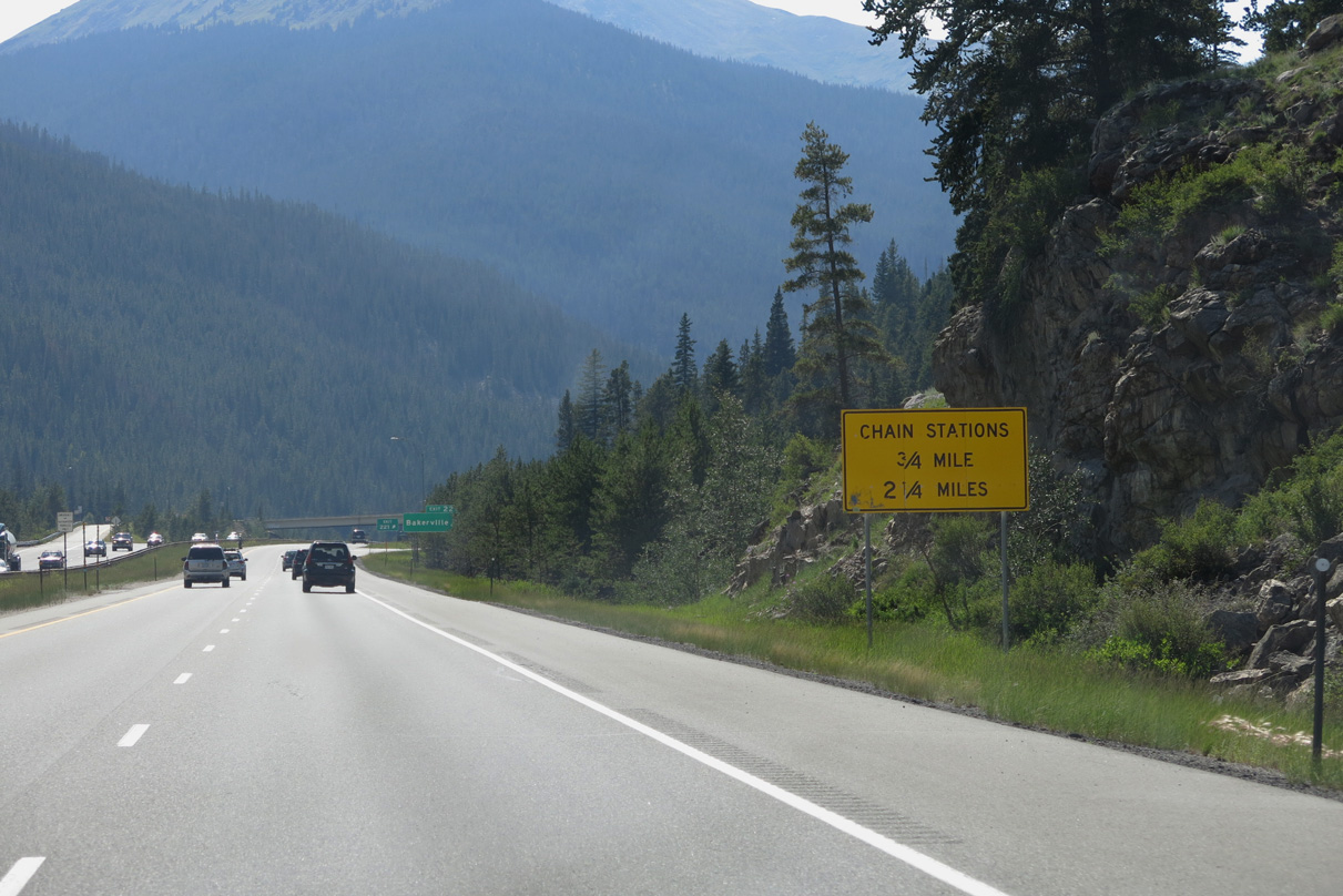
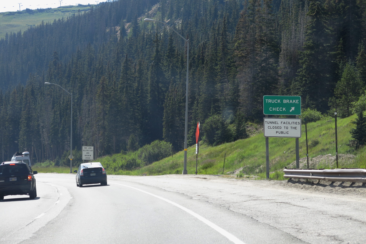
All overheight trucks and those with hazardous material are diverted onto U.S. 6 to avoid the Eisenhower Tunnel along Interstate 70.
08/15/13
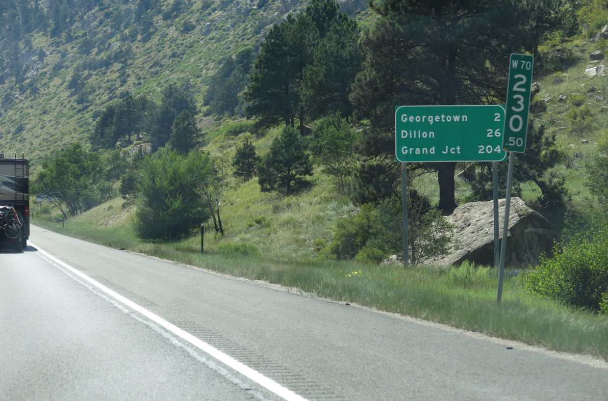
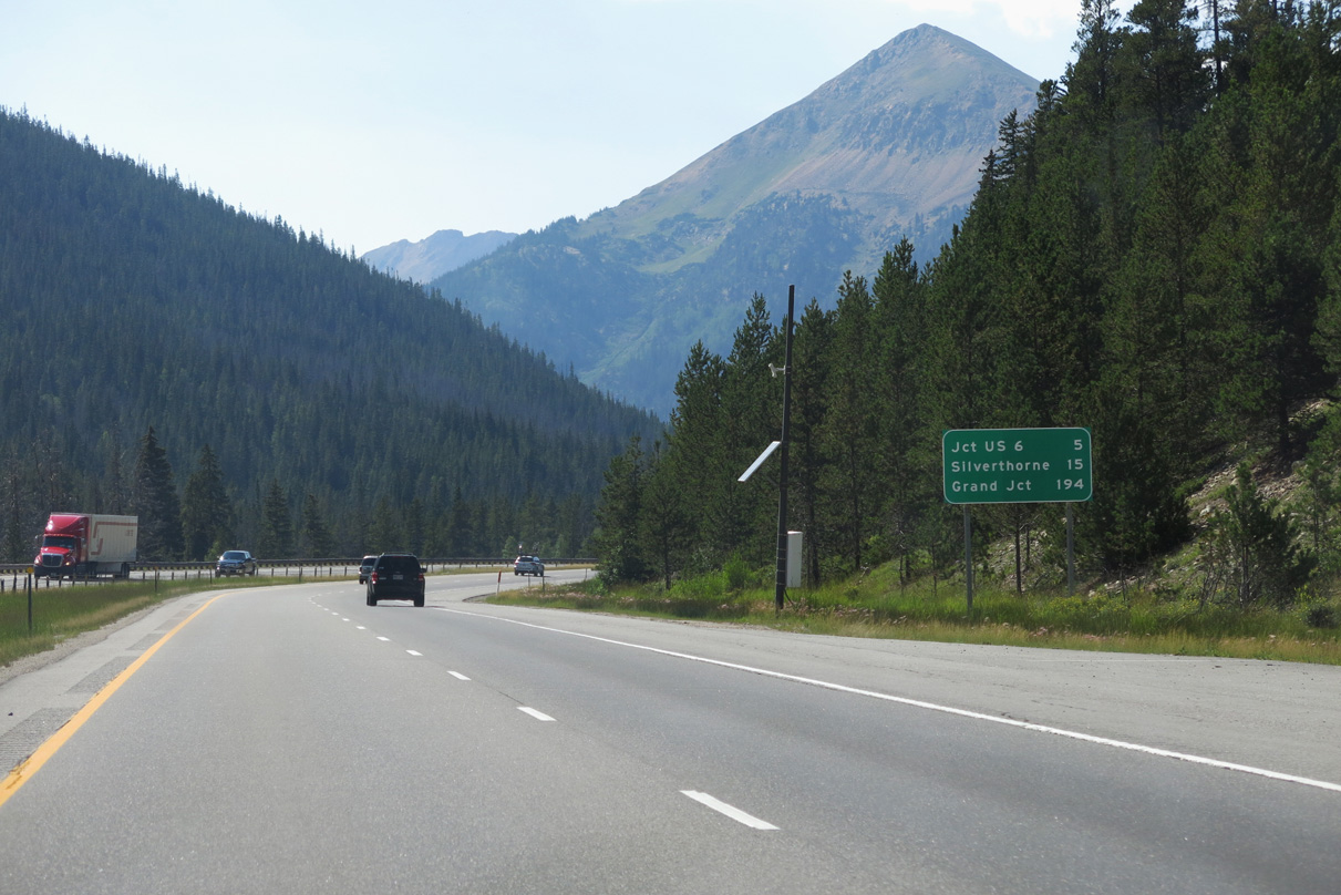
Beyond Loveland Pass and the Continental Divide into Summit County, U.S. 6 lowers to Arapahoe Basin Ski Area west to Dillon.
08/15/13
West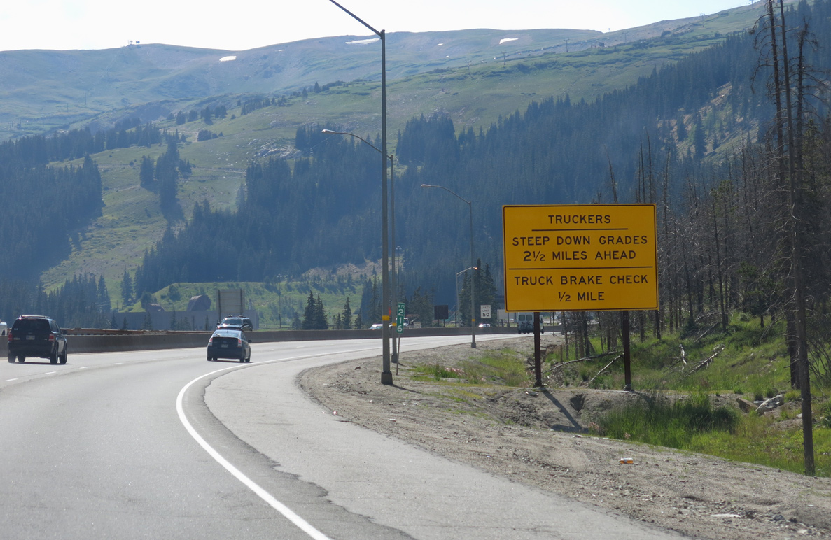
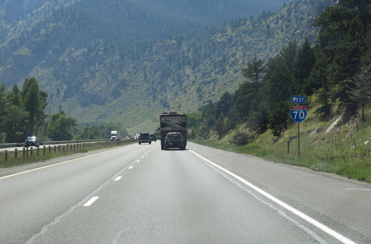
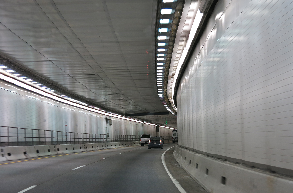
Interstate 70 navigates through an S-curve between Loveland Ski Area and Mount Trelease on the ascent to the Eisenhower - Johnson Memorial Tunnel.
08/15/13
08/15/13

The Dwight Eisenhower - Edwin C. Johnson Memorial Tunnel is the highest point on the Interstate highway system at 11,158 feet above sea level.
08/15/13
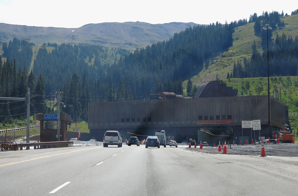
Crossing the Continental Divide, the Eisenhower - Johnson Memorial Tunnel traverses mountains in excess of 12,500 feet in elevation, including nearby Hagar Mountain (el. 13,220 feet).
08/15/13
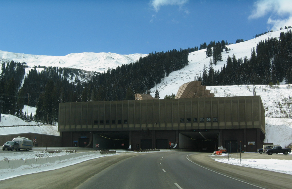
The Eisenhower - Johnson Memorial Tunnel is the highest vehicular tunnel in the world. It was originally constructed with a single bore (the westbound tunnel) and was known as the Straight Creek Tunnel. It was eventually renamed for President Dwight D. Eisenhower.
11/08/03
Interstate 70 westbound through the Eisenhower Memorial Bore was constructed in phases between March 1968 and March 1973.1
08/15/13
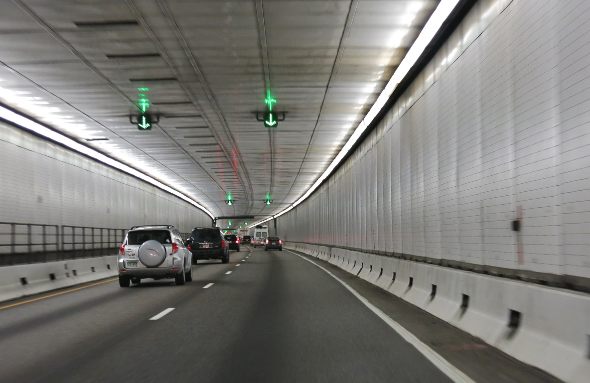
The Edwin C Johnson Memorial Bore along I-70 eastbound was constructed between August 1975 and December 1979.2 Each tunnel is 1.693 miles long.1
08/15/13
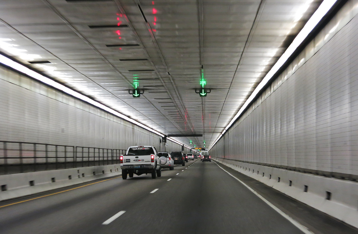
Marking the Clear Creek/Summit County line, The Continental Divide crosses I-70 at an elevation of 12,608 feet, 1.496 feet above the tunnel roadway. The county line is 2,821 feet from the west portal.2
08/15/13
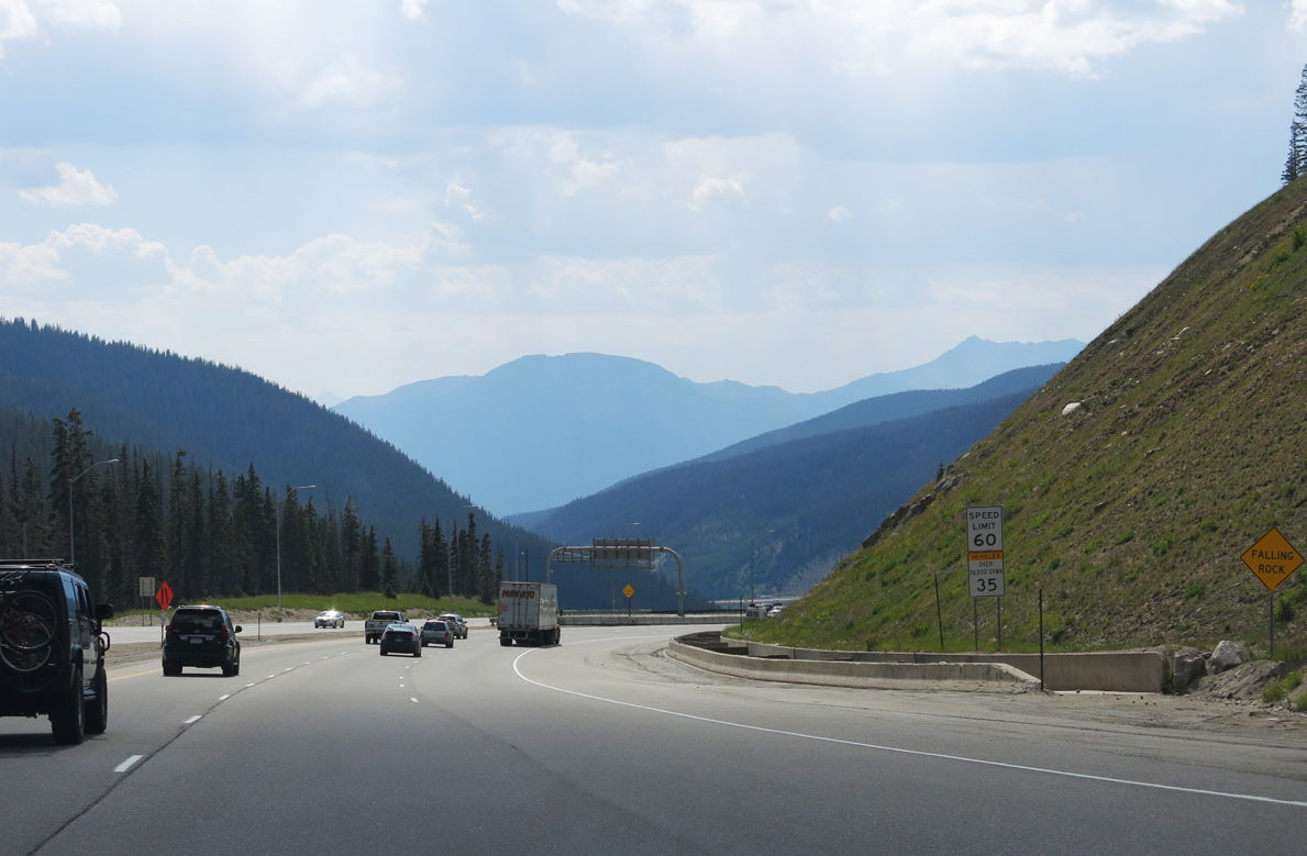
Interstate 70 emerges from the Eisenhower - Johnson Memorial Tunnel south of the Williams Fork Mountains.
08/15/13
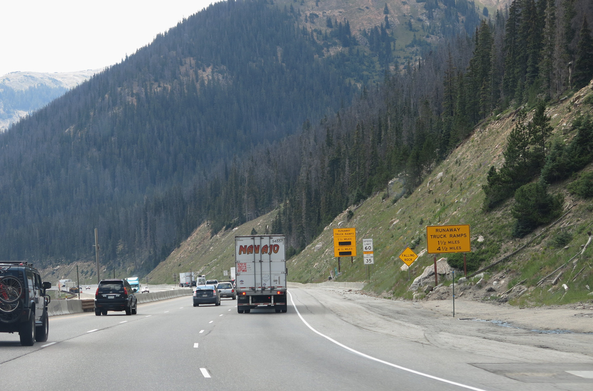
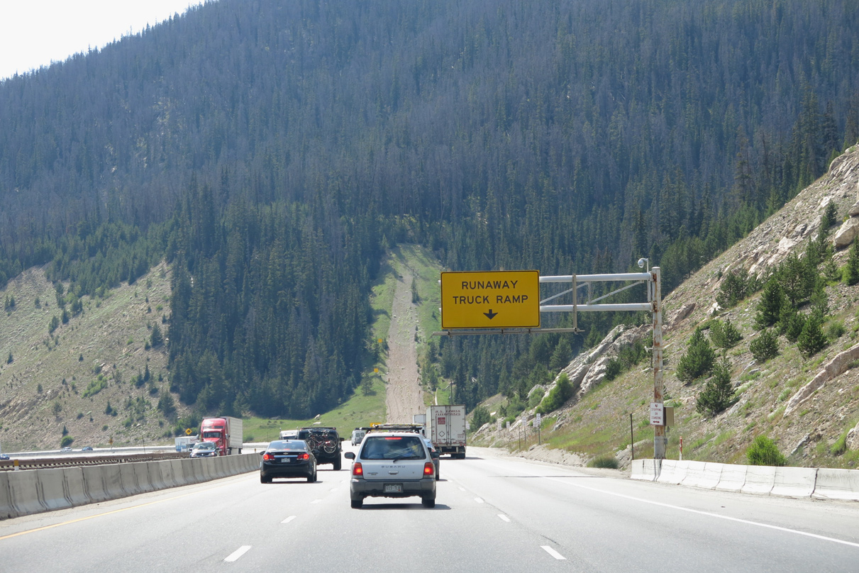
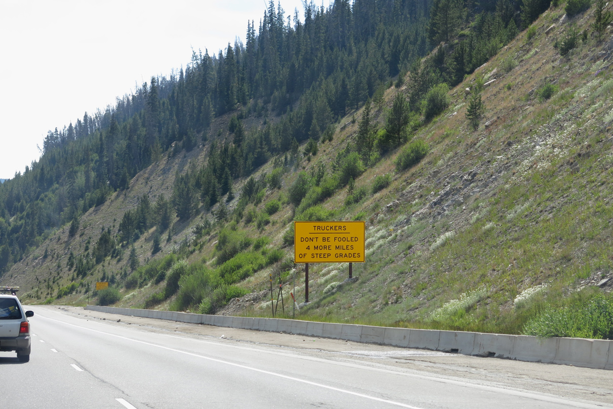
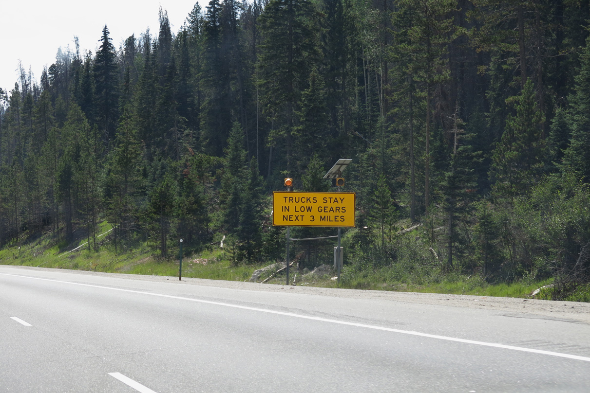
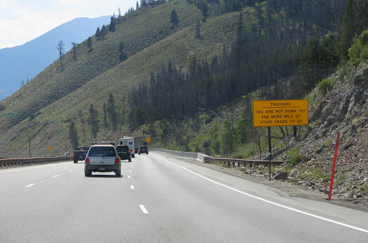
Paralleling Straight Creek, Interstate 70 lowers at a 6 to 7% grade from the Continental Divide to Silverthorne.
08/15/13
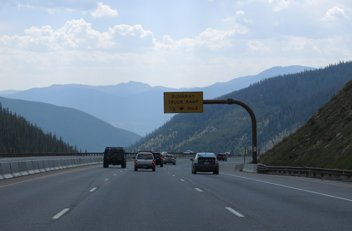
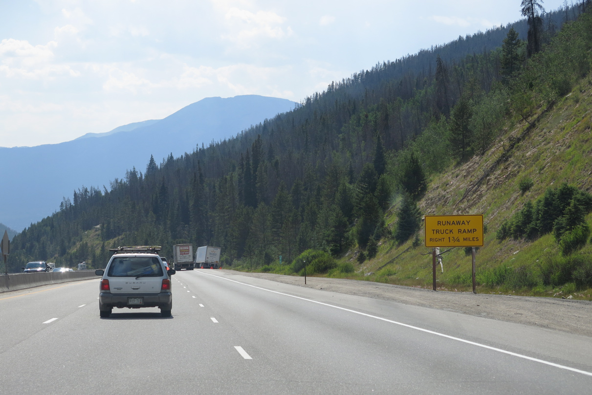
A series of runaway truck ramps line the descent of Interstate 70 west toward Silverthorne.
08/15/13
The first runaway truck ramp is at Hamilton Gulch.
08/15/13
08/15/13
Tenderfoot Mountain.
08/15/13
Buffalo Mountain appears along the western horizon.
08/15/13
08/15/13
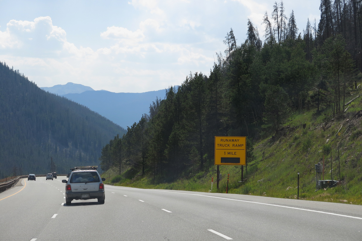
The second runaway truck ramp lines westbound I-70 south of Ptarmigan Peak.
08/15/13
08/15/13

The town of Dillon appears to the southwest. Founded at the confluence of the Blue, Ten Mile and Snake Rivers, Dillon incorporated as a town on January 26, 1883. The area changed dramatically in 1963, when Lake Dillon reservoir was completed.
08/15/13
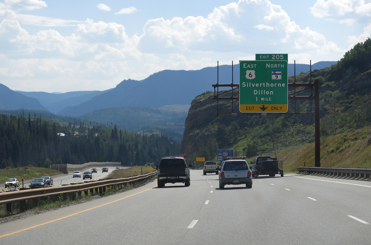
U.S. 6 (Loveland Pass Road) returns to Interstate 70 west from Keystone ski Resort and Dillon at Exit 205 in the town of Silverthorne. Known as the gateway to Summit County, Silverthorne incorporated on September 5, 1967.
08/15/13
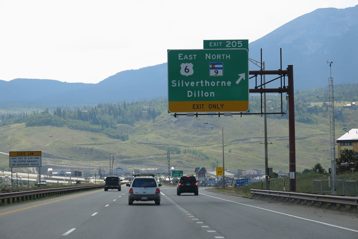
U.S. 6 enters the diamond interchange with I-70 west between Dillon Ridge and Summit Place Shopping Centers. SH 9 (Blue River Parkway) ties into Exit 205 from a commercialized stretch along the Blue River. SH 9 joins Silverthorne with U.S. 40 (Park Avenue) in Kremmling, 38.36 miles to the north.
08/15/13
West  South
South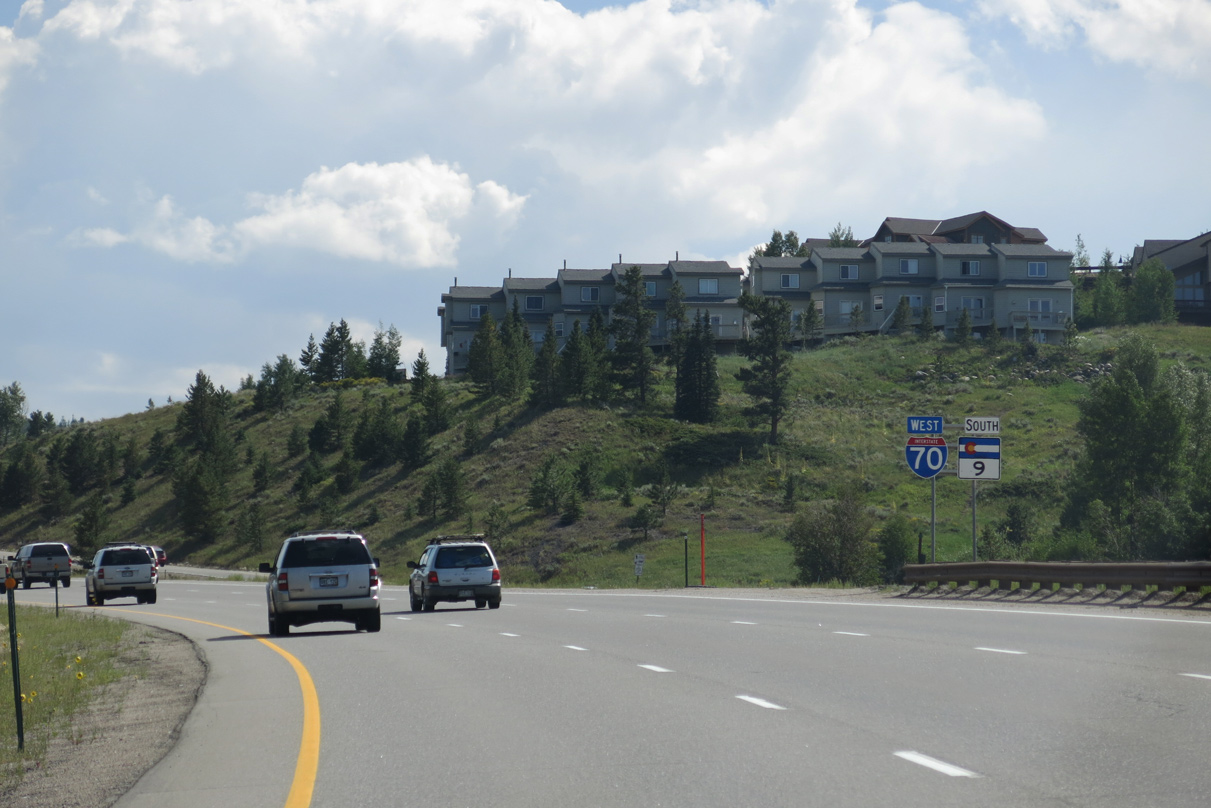
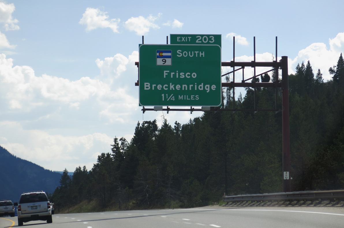
SH 9 accompanies I-70/U.S. 6 southwest 4.33 miles to Frisco.
08/15/13
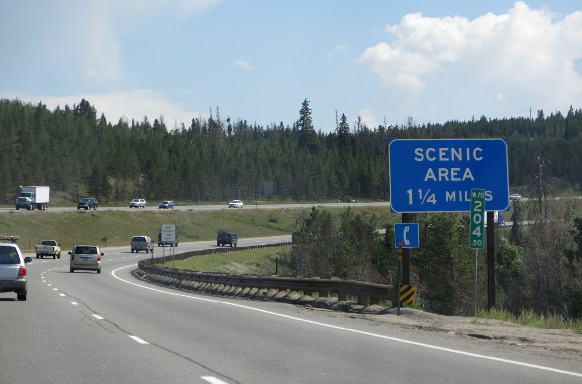
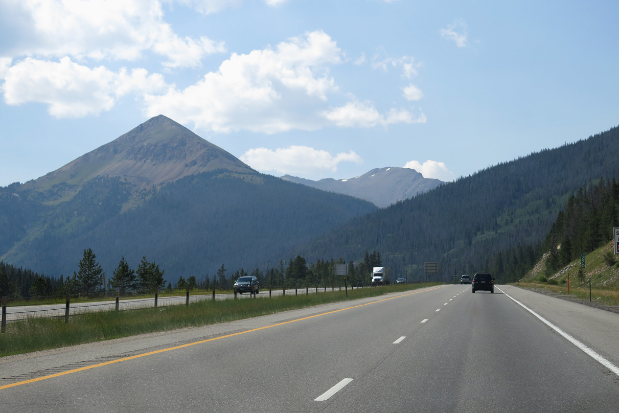
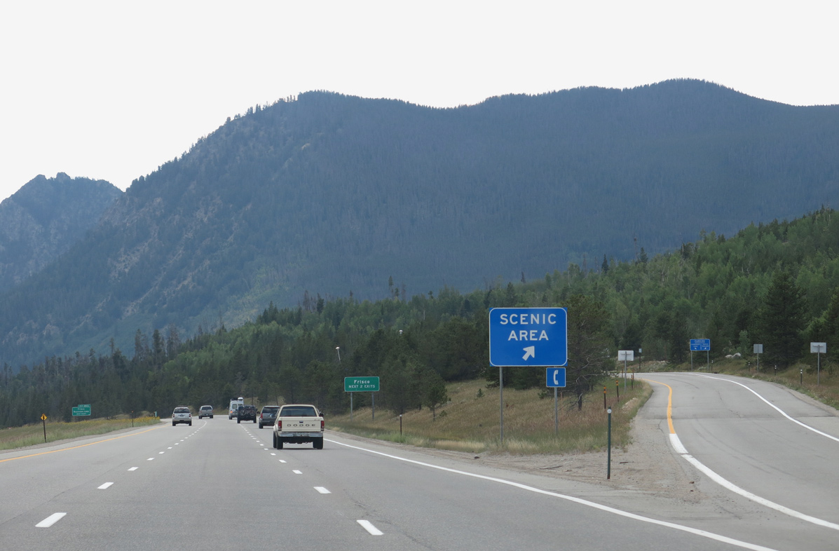
Interstate 70 offers scenic views in all directions. West of Frisco and Breckenridge, peaks rise to elevations in excess of 12,000 to 14,000 feet above sea level. These peaks are part of Gore Range and Ten Mile Range.
08/15/13
SH 9 travels south from Frisco and Dillon Reservoir to the Breckenridge ski resort and U.S. 285 at Fairplay via Hoosier Pass (el. 11,539 feet). Touted as a "quaint Victorian town in the heart of the Colorado Rockies", Breckenridge was founded in 1859 and is situated at an elevation of 9,603 feet above sea level.
08/15/13
Wichita Mountain, Royal Mountain and Tenmile Peak rise to the southwest of Frisco.
08/15/13
08/15/13
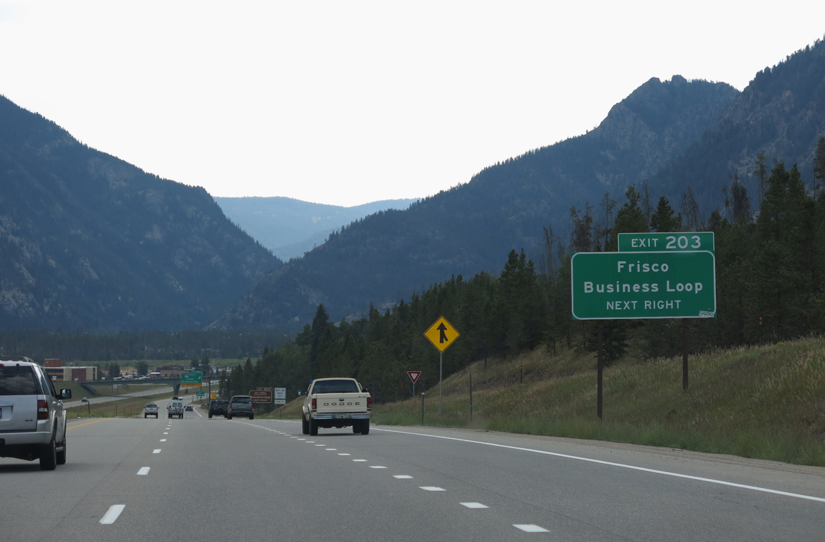
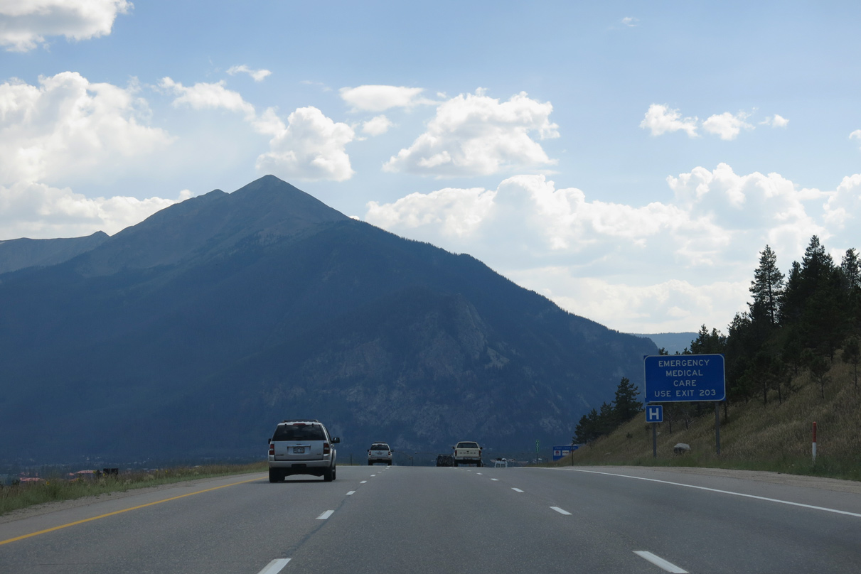
SH 9 (Summit Boulevard) south from Exit 203 and Main Street west to I-70 at Exit 201 form the Frisco Business Loop. A gateway community to Breckenridge and Copper Mountain to the southwest, the town of Frisco is 9,100 feet above sea level.
08/15/13

SH 9 segment C (Route 009C) runs 32.56 miles south to Alma, which at 10,578 feet above sea level is the highest incorporated town in the United States,3 and U.S. 285 at Fairplay.
08/15/13

Sources:
- Eisenhower Memorial Bore. Colorado Department of Transportation (CDOT), web page.
- Edwin C Johnson Memorial Bore. Colorado Department of Transportation (CDOT), web page.
- Alma, Colorado. Wikipedia.
Photo Credits:
11/08/03, 08/15/13 by AARoads
Connect with:
U.S. 6
State Highway 9
Page Updated 01-20-2022.