
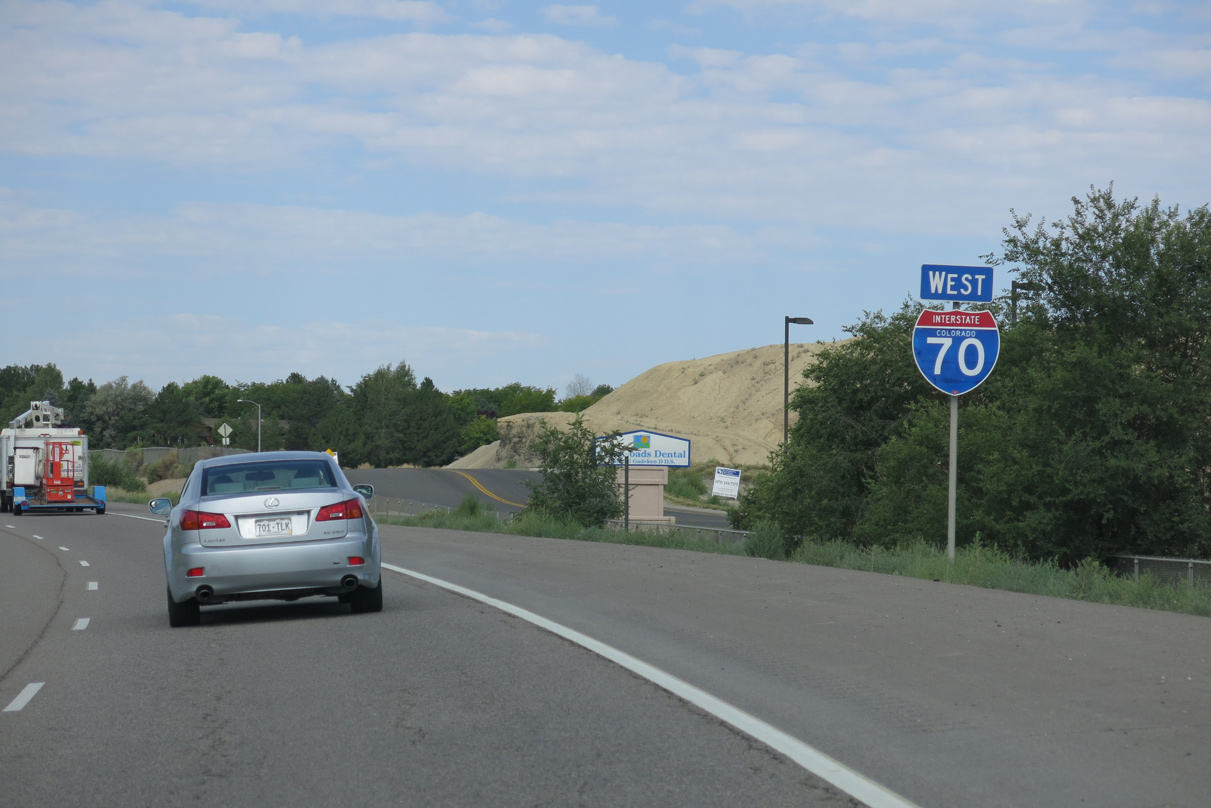
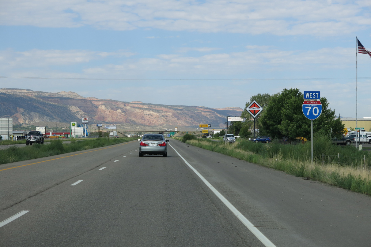
 West
West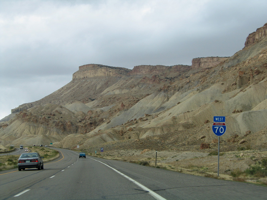
Continuing west from Palisade, Interstate 70 passes by the Mount Garfield Trailhead.
10/18/04
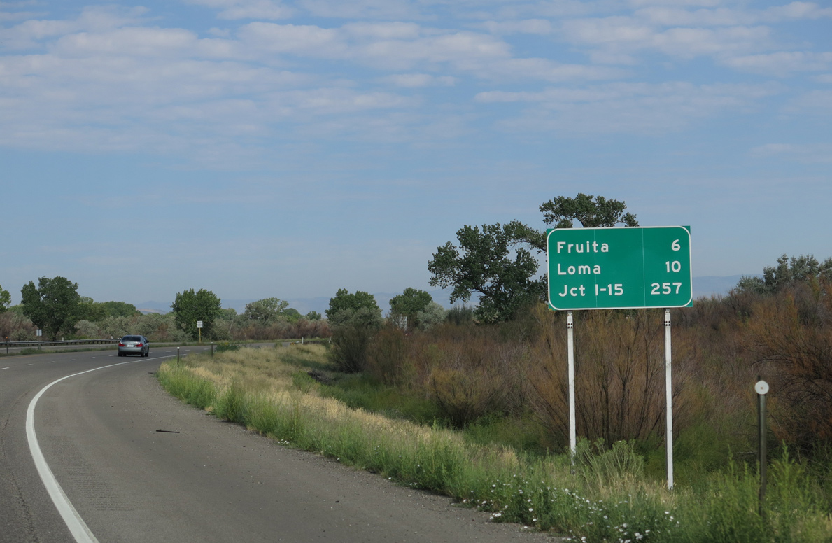
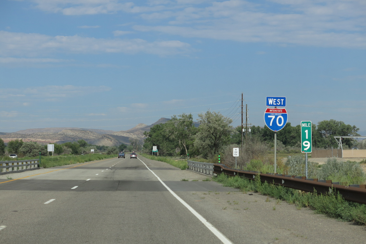
This distance sign is the first to reference the west end of Interstate 70 at I-15 near Cove Fort, Utah. A replacement of this assembly reduced each entry by one mile.
10/18/04
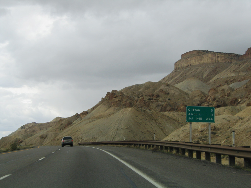
A community interchanges identification sign for Grand Junction listing I-70 Business Loop, Horizon Drive and 24 Road was replaced by 2008 with this assembly.
08/15/13
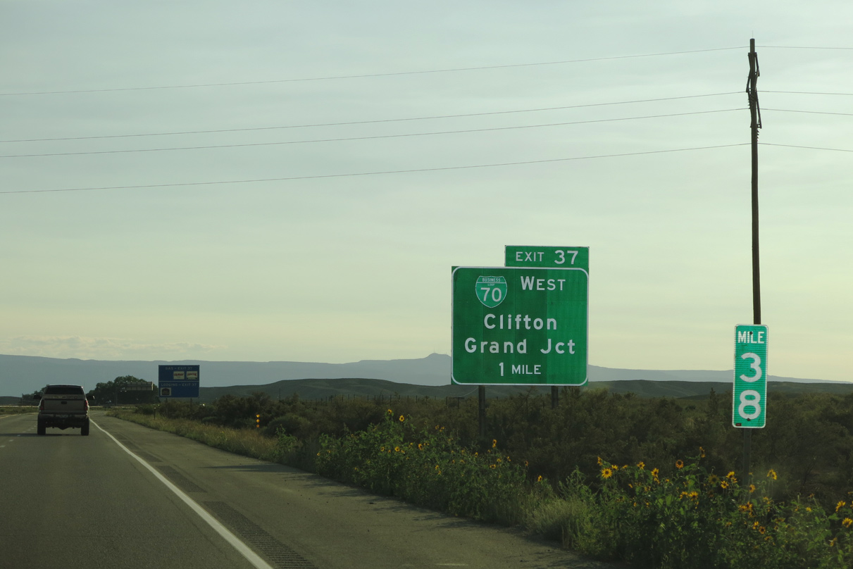
I-70 stays north of Grand Junction while Business Loop I-70 provides the most direct route into the city. Generally a controlled access arterial with the exception of through Downtown, Business Loop I-70 (Route 070B) runs 13.27 miles between Exit 37 and 26.
08/15/13
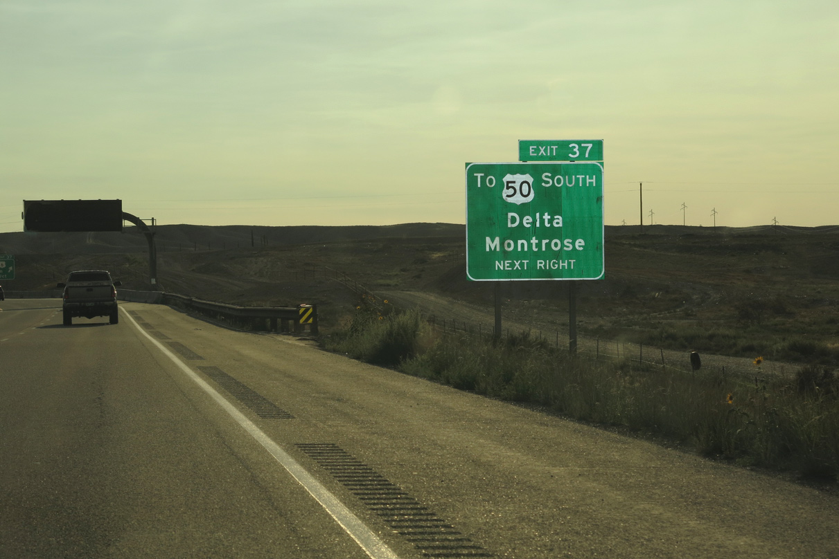
Business Loop I-70 west connects with U.S. 50 at Downtown Grand Junction. U.S. 50 travels southeast to Orchard Mesa, Whitewater, Delta and Montrose. Turning east at Montrose, U.S. 50 traverses the Continental Divide at Monarch Pass (el. 11,312 feet).
08/15/13
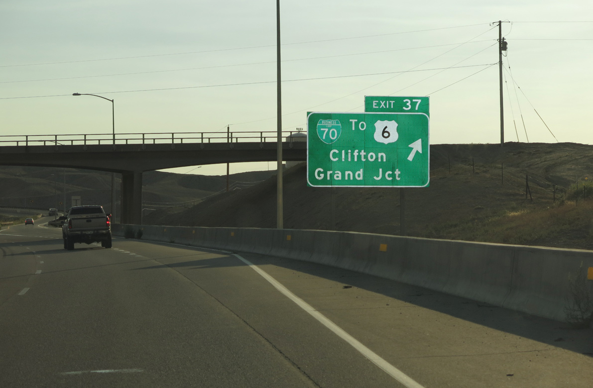
Business Loop I-70 overlaps with U.S. 6 southwest from Clifton to Fruitvale. SH 141 stems south from the arterial to Gateway and Montrose County.
08/15/13
08/15/13
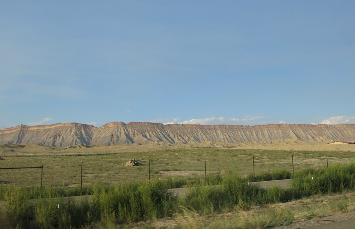
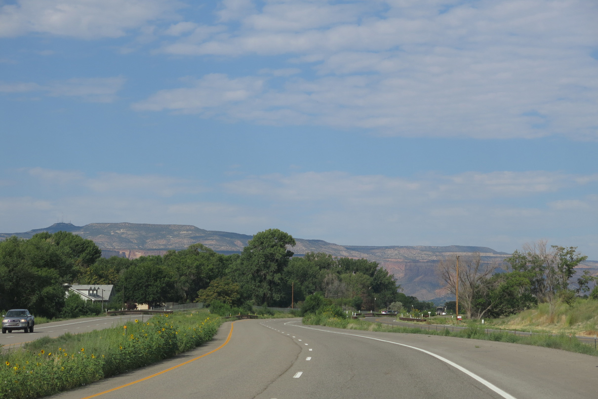
Looking northeast from Grand Junction at the Book Cliffs.
08/15/13
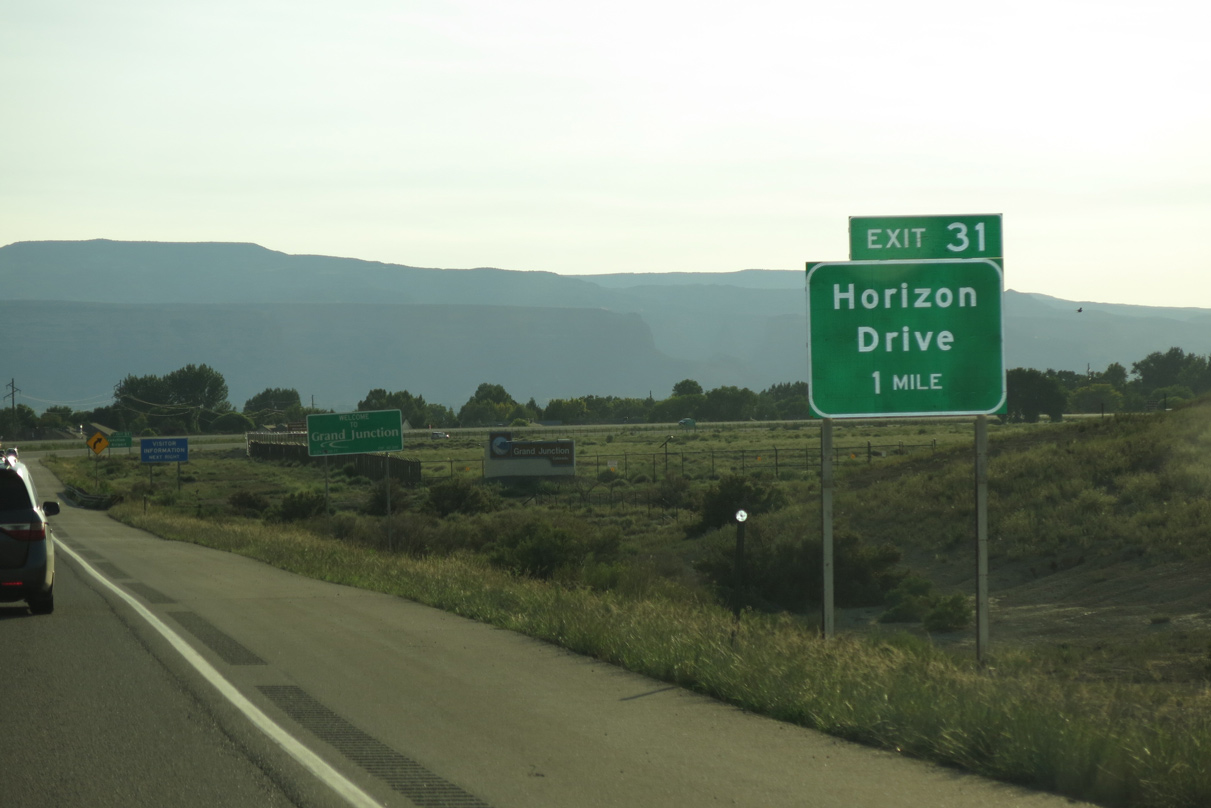
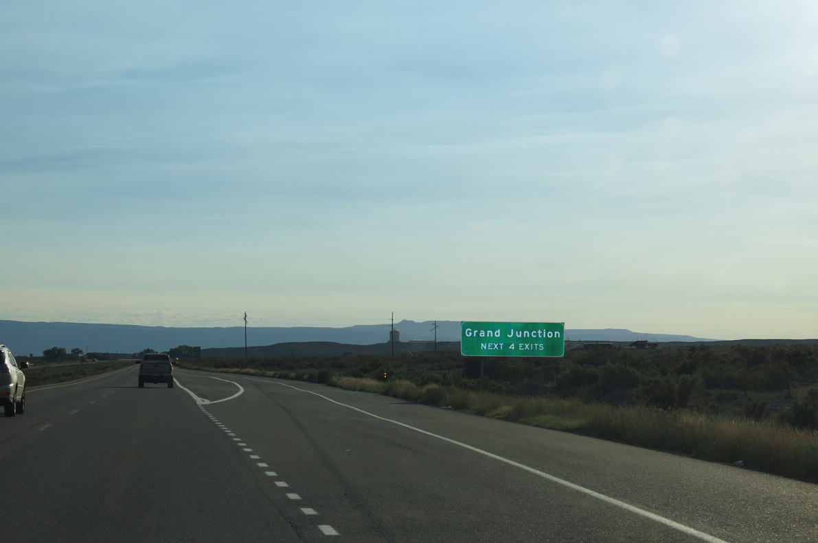
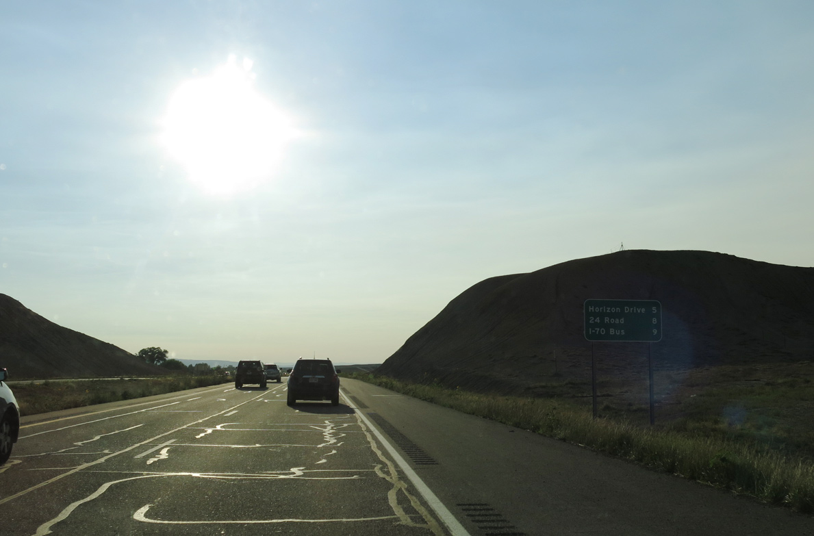
I-70 enters the city of Grand Junction just ahead of Exit 31 for Horizon Drive. Situated at an elevation of 4,590 feet, Grand Junction is the largest city within Mesa County. The city was founded in 1882 with approximately 643 acres.
08/15/13
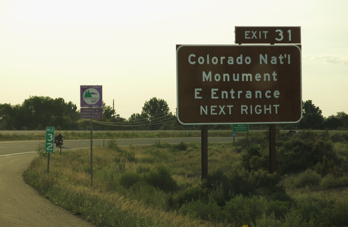
Horizon Drive provides part of a direct route to the east entrance of Colorado National Monument via Patterson Road and Redlands Parkway to SH 340. Preserving the sheer cliffs and rockfaces rising above the Grand Valley at the edge of the Uncompahgre Uplift, the park was established on May 24, 2011.
08/15/13
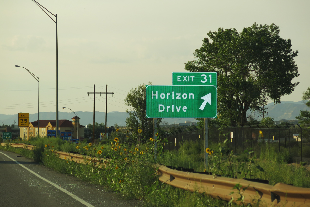
Horizon Drive angles northeast from 26 1/2 Road to Grand Junction Regional Airport (GJT). Costing $6.6 million, a 12 month project converted the exchange at Exit 31 into a dumbbell interchange in 2016.1
08/15/13
08/16/13
08/16/13
08/16/13
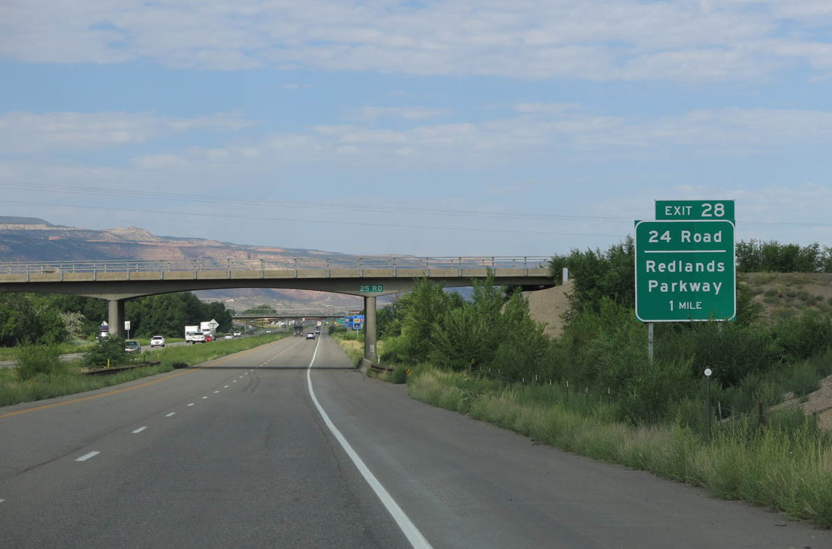
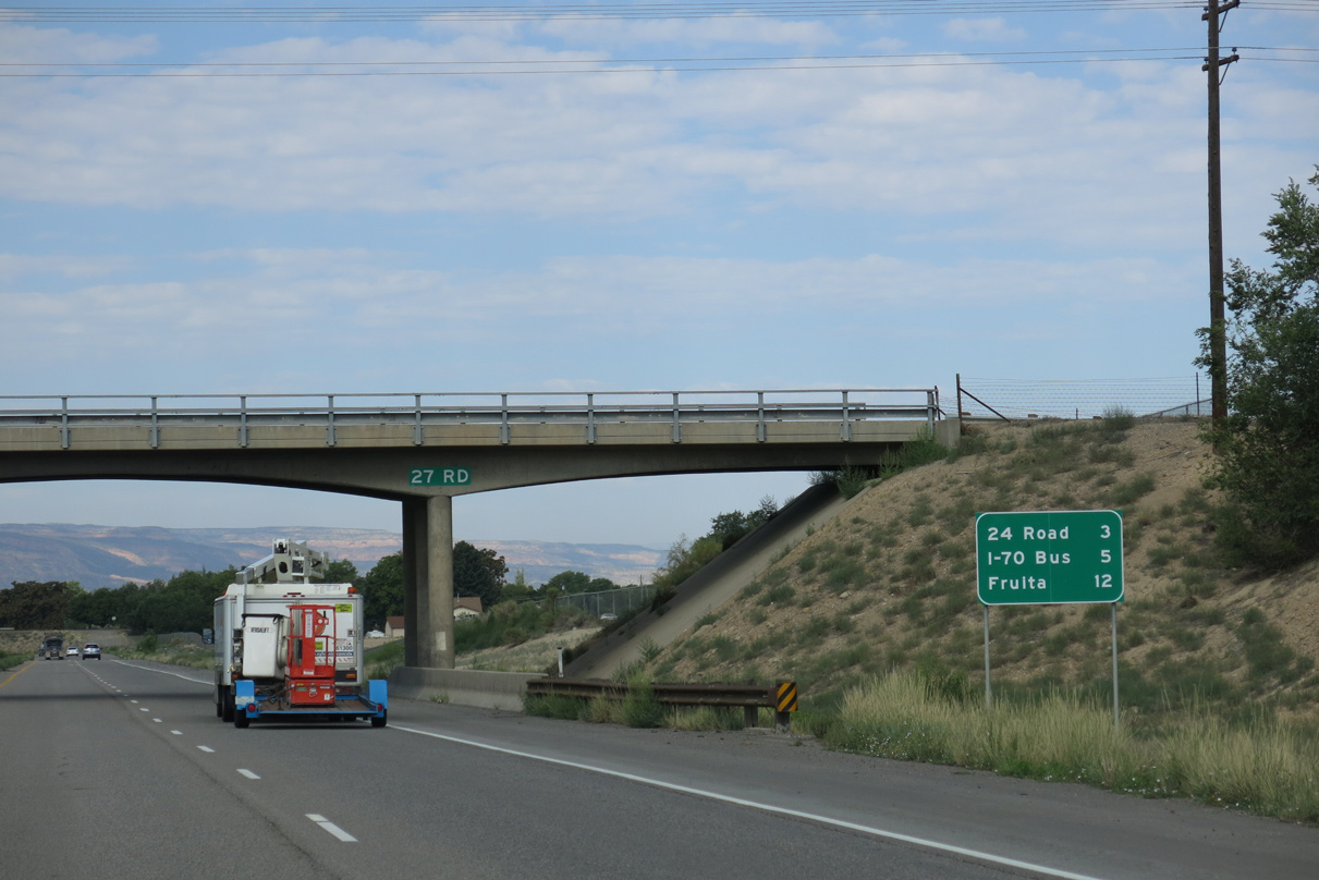
A dumbbell interchange at Exit 28 links Interstate 70 with 24 Road by Canyon View Park.
08/16/13
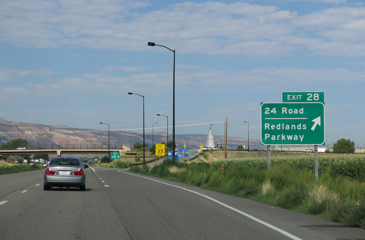
24 Road heads north to Appleton and south to Business Loop I-70/U.S. 6-50 at Mesa Mall and Redlands Parkway west to Redlands.
08/16/13
08/16/13
The previous distance sign posted ahead of the 23 Road overpass listed 22 Road in place of I-70 Bus, Fruita at nine miles and Green River, Utah at 102 miles.
08/16/13
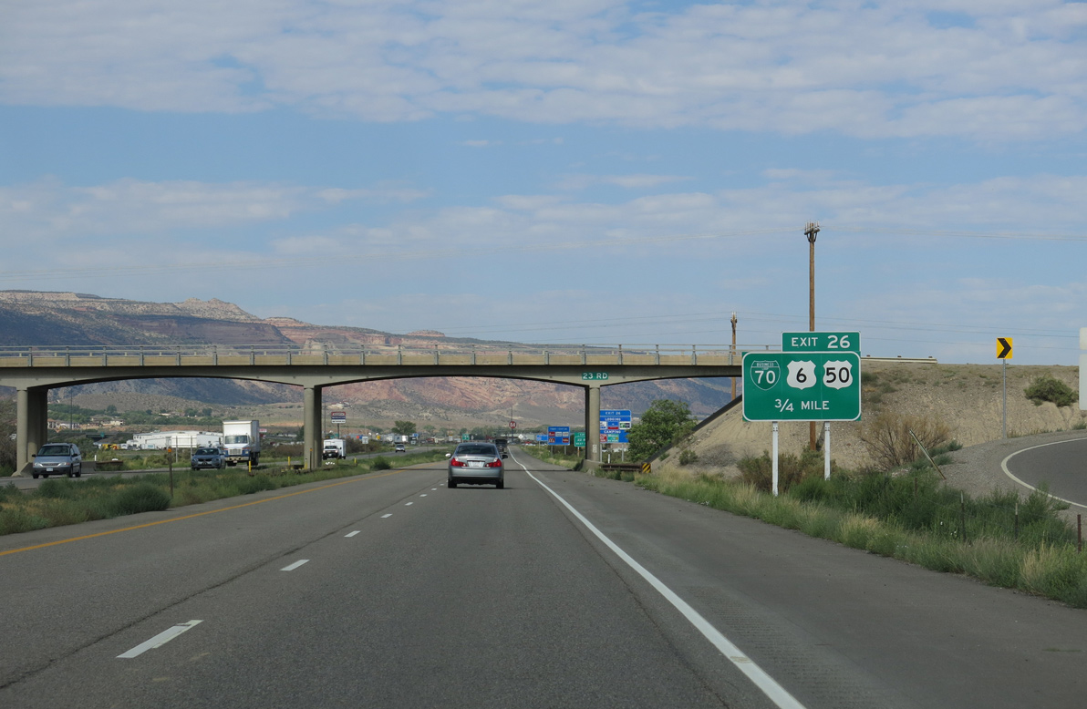
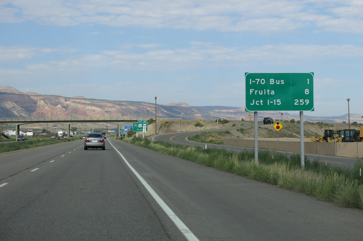
Business Loop I-70 returns to I-70 alongside U.S. 6/50 northwest from Downtown Grand Junction. U.S. 6/50 continue along the Union Pacific Railroad west from Exit 26 to Fruita, Loma and Mack.
08/16/13
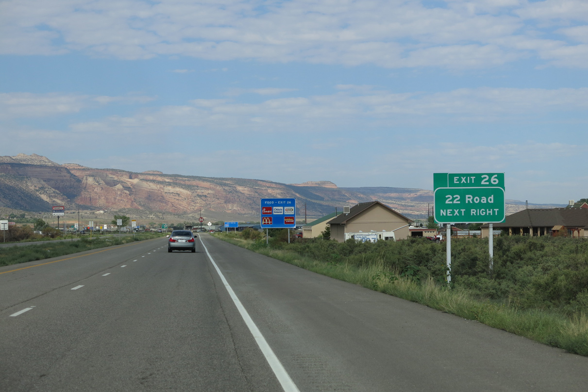
22nd Road stems north from U.S. 6/50 just west of Exit 26 to ranch areas across the Grand Valley.
08/16/13
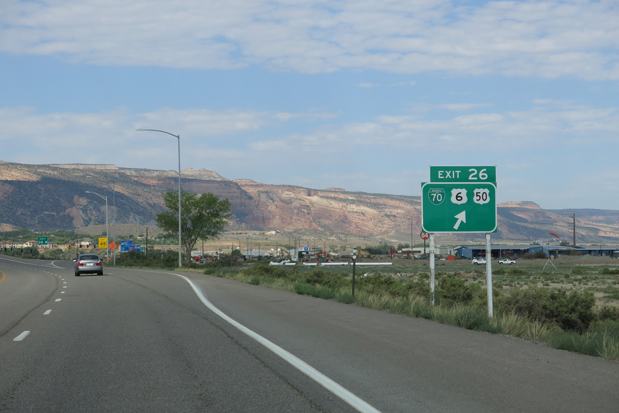
Construction from July 8, 2013 to March 2014 rebuilt the exchange at Exit 26 into Colorado's first diverging diamond interchange.
08/16/13
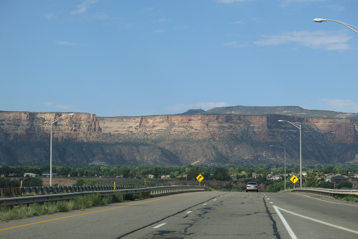
The cliffs of Colorado National Monument are omnipresent to the southwest of the Colorado River.
08/16/13
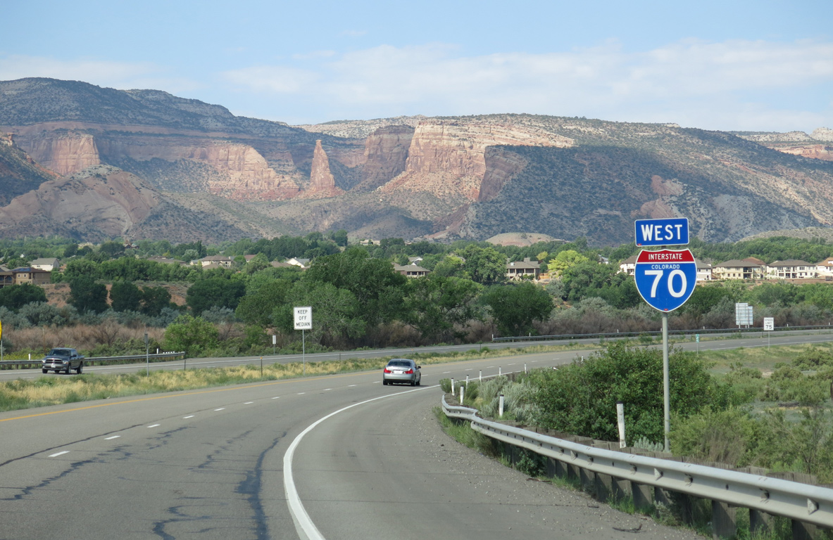
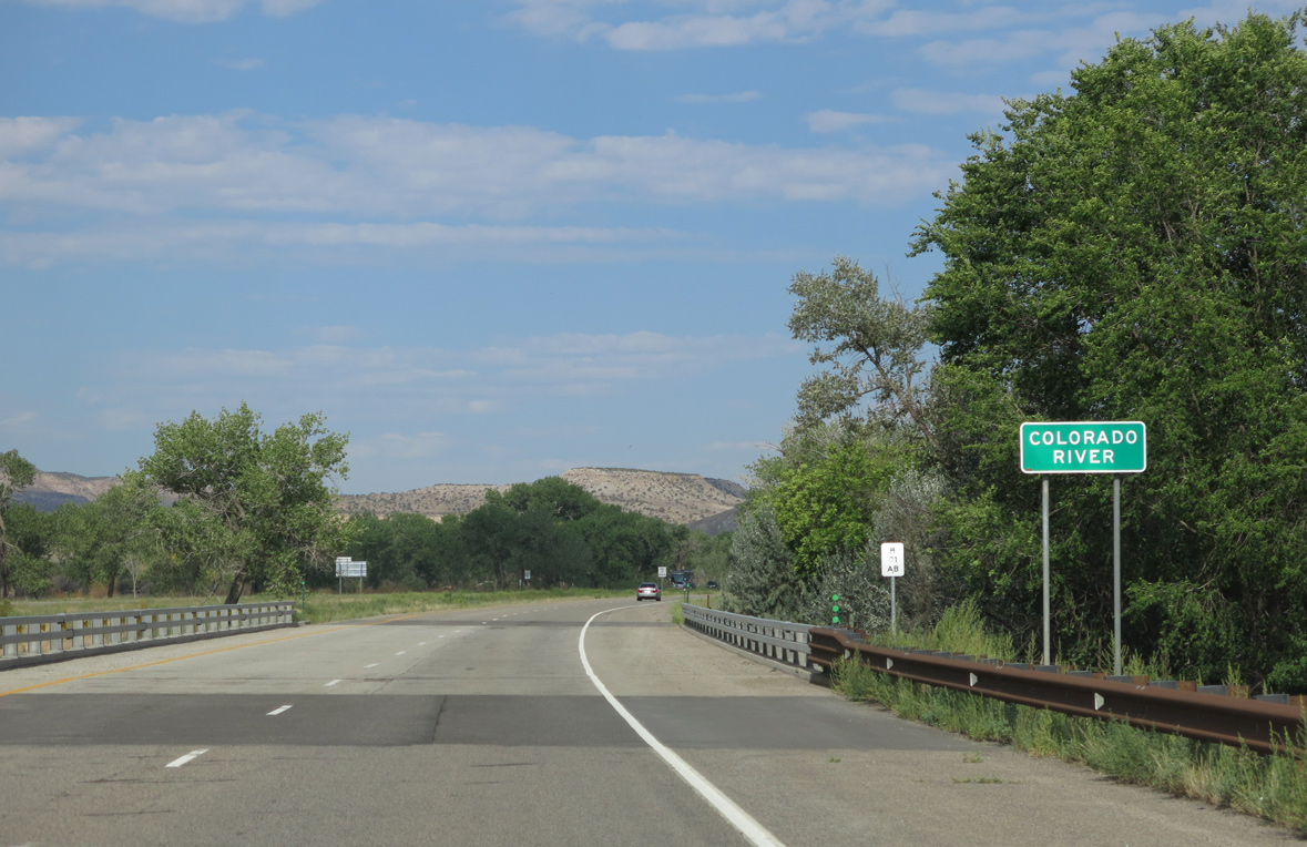
Crossing the Union Pacific Railroad line, Interstate 70 curves west to run alongside the Colorado River.
08/16/13
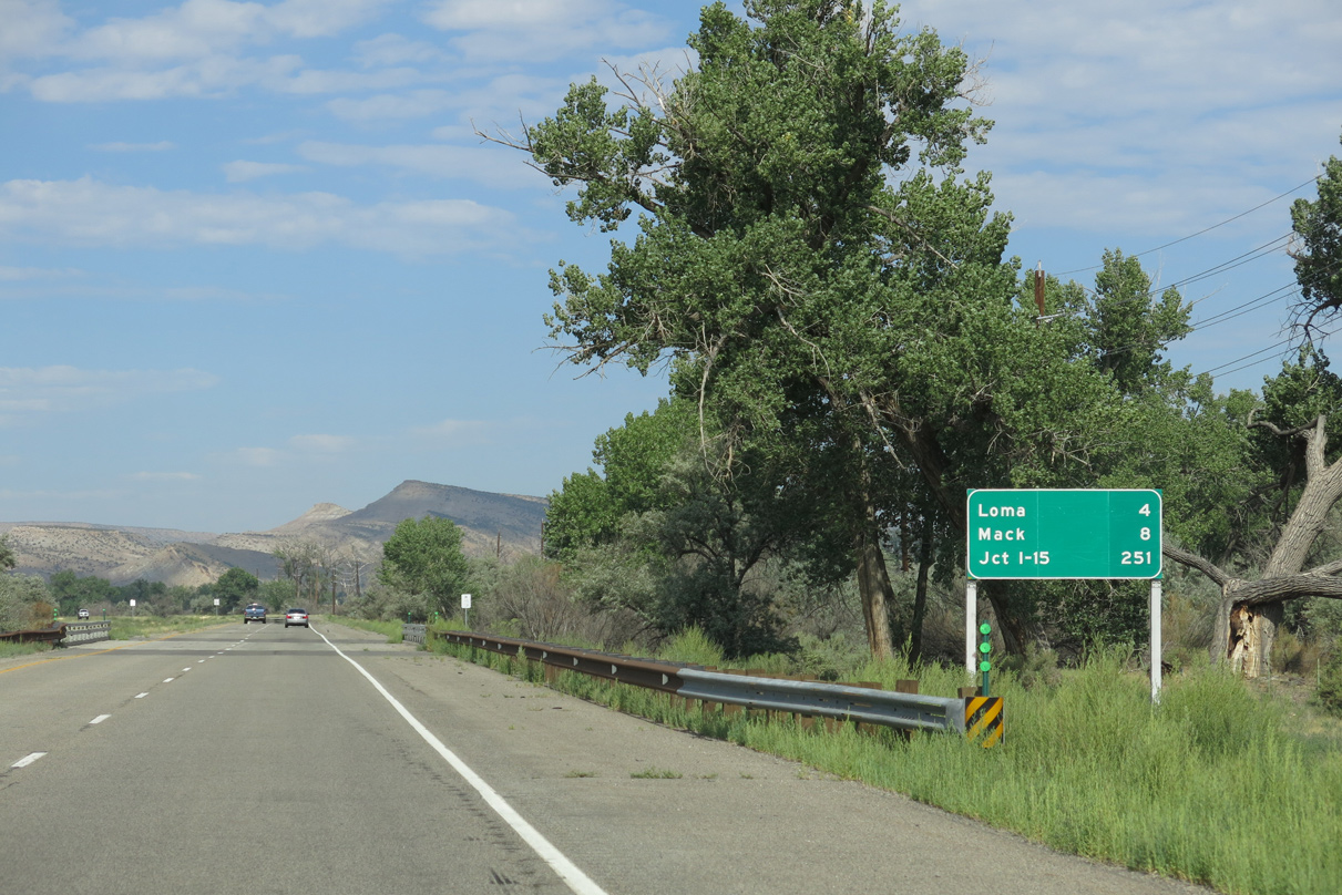
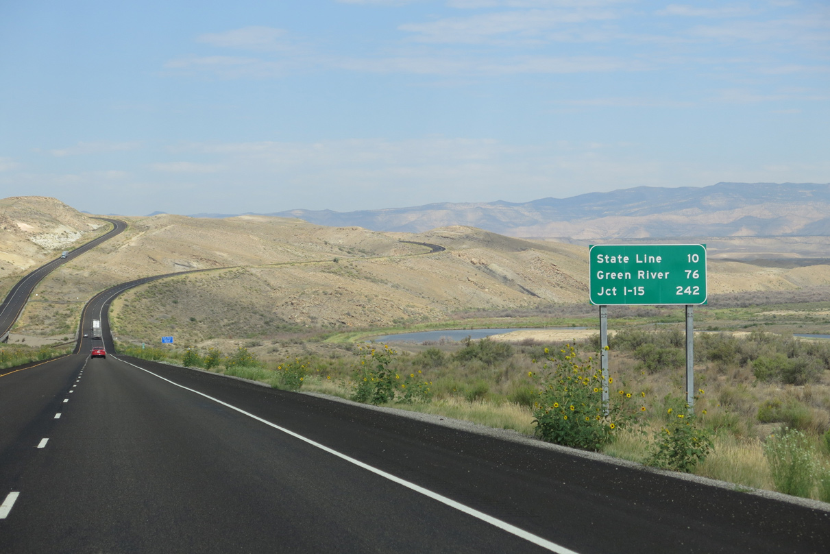
Sign changes made west of Exit 26 lowered the distance to Fruita from 7 to 6, replaced Green River - 100 with Loma and Las Vegas - 513 with Jct I-15.
08/16/13
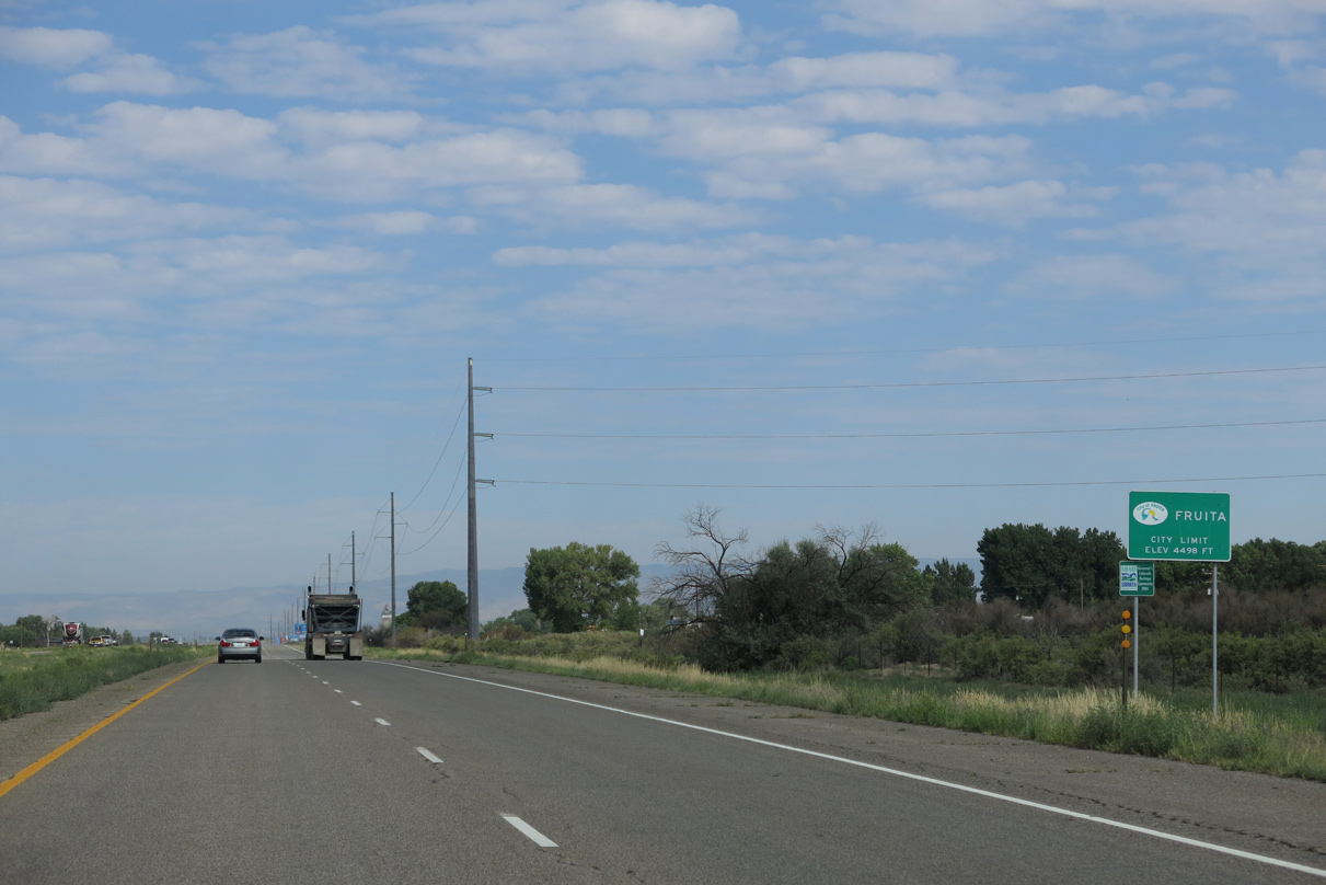
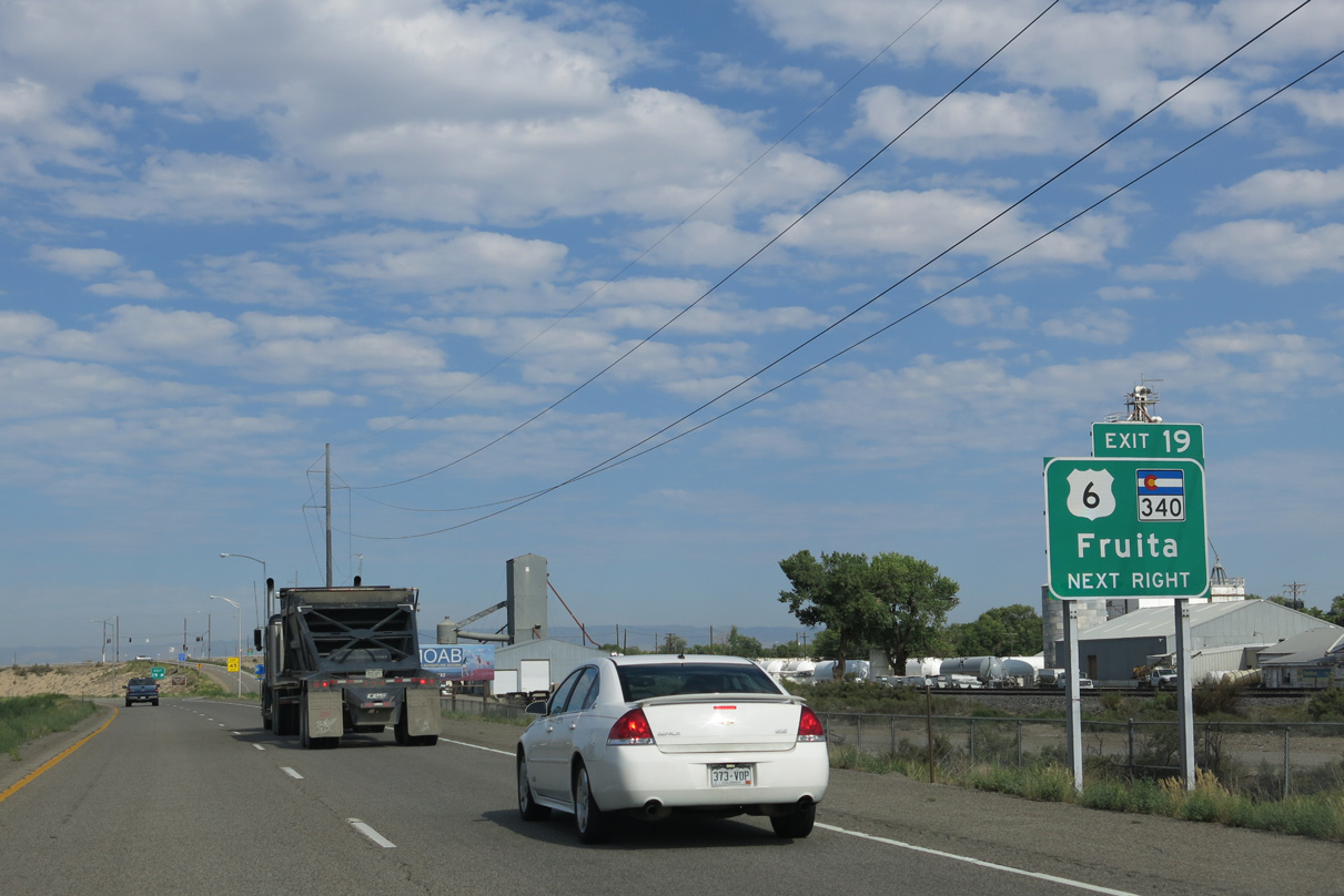
Fruita is located northwest of Grand Junction along U.S. 6-50. Founded in 1884, Fruita was home to 6,478 people as of the 2000 Census and 13,395 as of the 2020 Census. Fruita's economy was based on agriculture and ranching. Until it was repealed in the 1970s, one of the oddities was a provision that no liquor be sold or manufactured in the city.
08/16/13
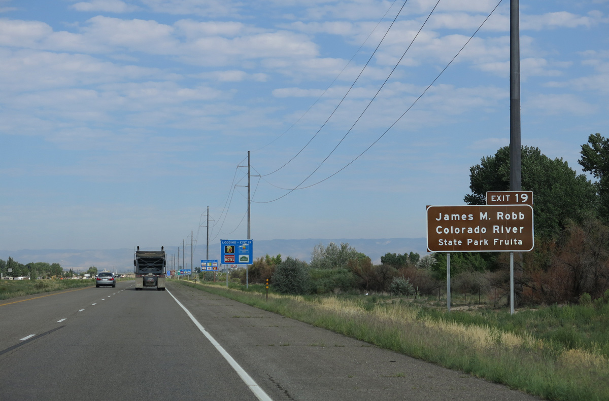
Forthcoming Exit 19 serves the Fruita Unit of James M. Robb/Colorado River State Park. One of the four other units of the unique state park along the Colorado River, the Islands Unit is located off I-70 at Exit 47.
08/16/13
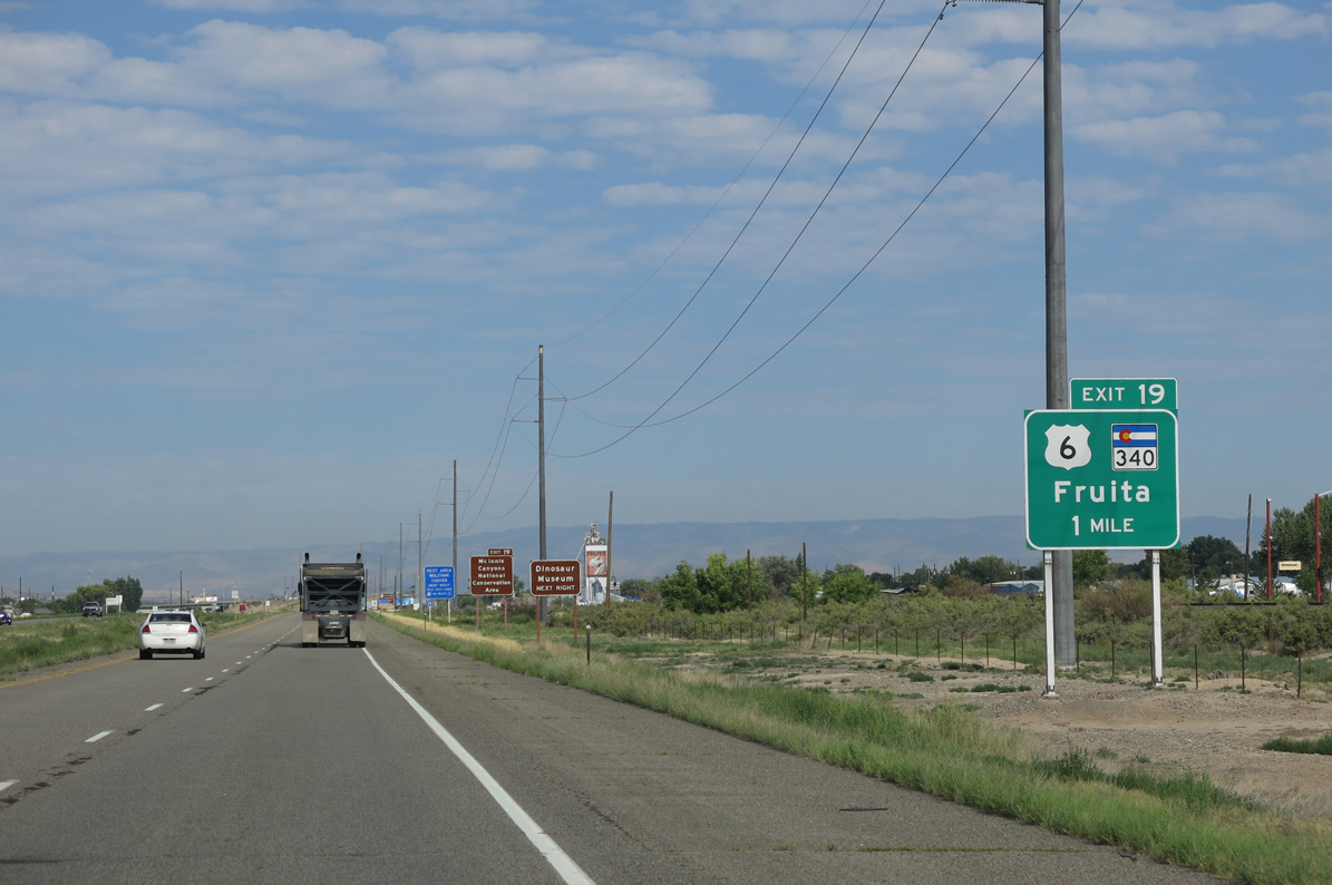
The dumbbell interchange at Exit 19 joins I-70 west with SH 340, a 13.34 mile long loop southeast to Colorado National Monument from Fruita to Business Loop I-70 at Grand Junction.
08/16/13
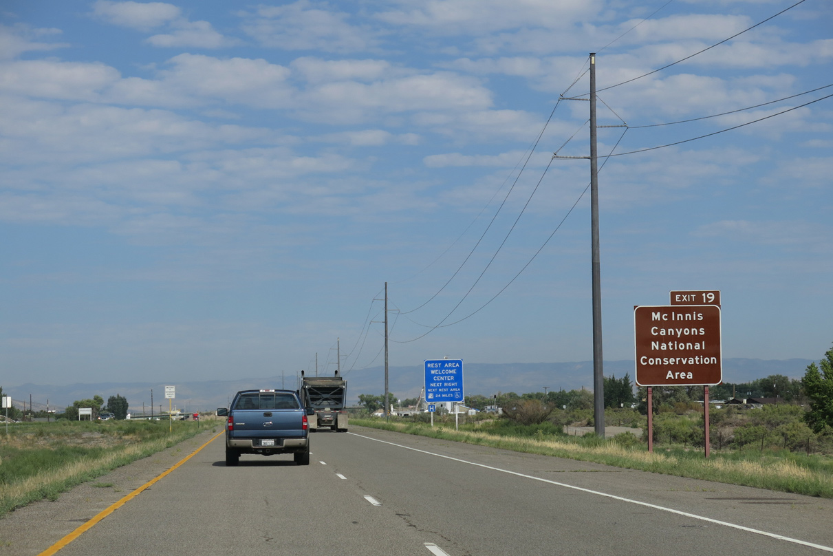
Mc Innis Canyons National Conservation Area spreads west along Ruby Canyon and the Colorado River to the Utah state line.
08/16/13
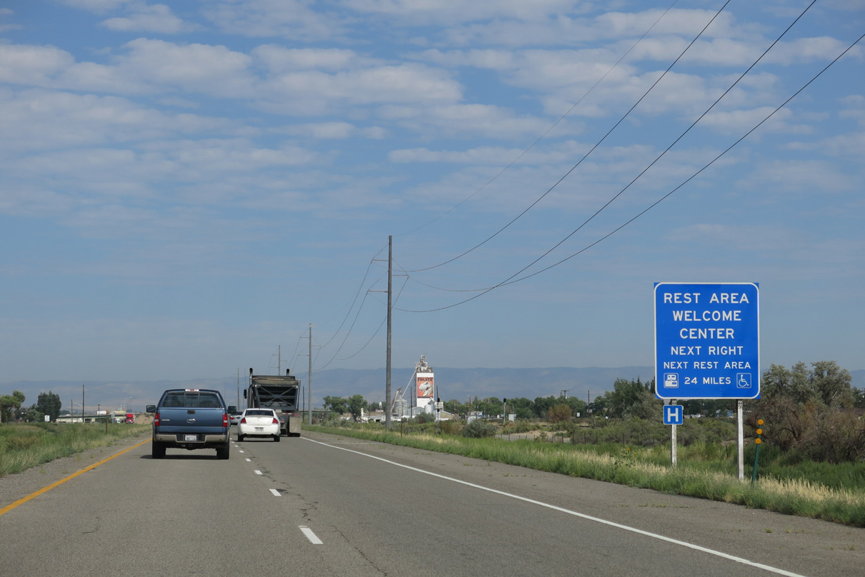
Located just south of Exit 19, an off freeway CDOT Rest Area is part of the Fruita Welcome Center. This is the last rest area along westbound in Colorado. The next rest area is 24 miles away in Utah.
08/16/13
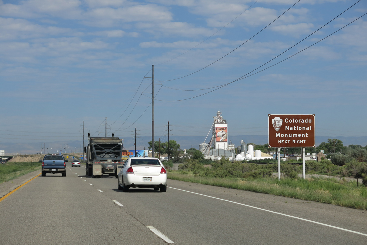
SH 340 south connects with Rimrock Drive into Colorado National Monument. Several geological features, such as the Book Cliffs and Grand Mesa, are part of the monument. Notable in the park is Independence Monument, a standalone rock formation.
08/16/13
SH 30 spans the UP Railroad to Cherry Street and Aspen Avenue at Downtown Fruita. The north end ties into U.S. 6/50 via Coulson Street.
08/16/13
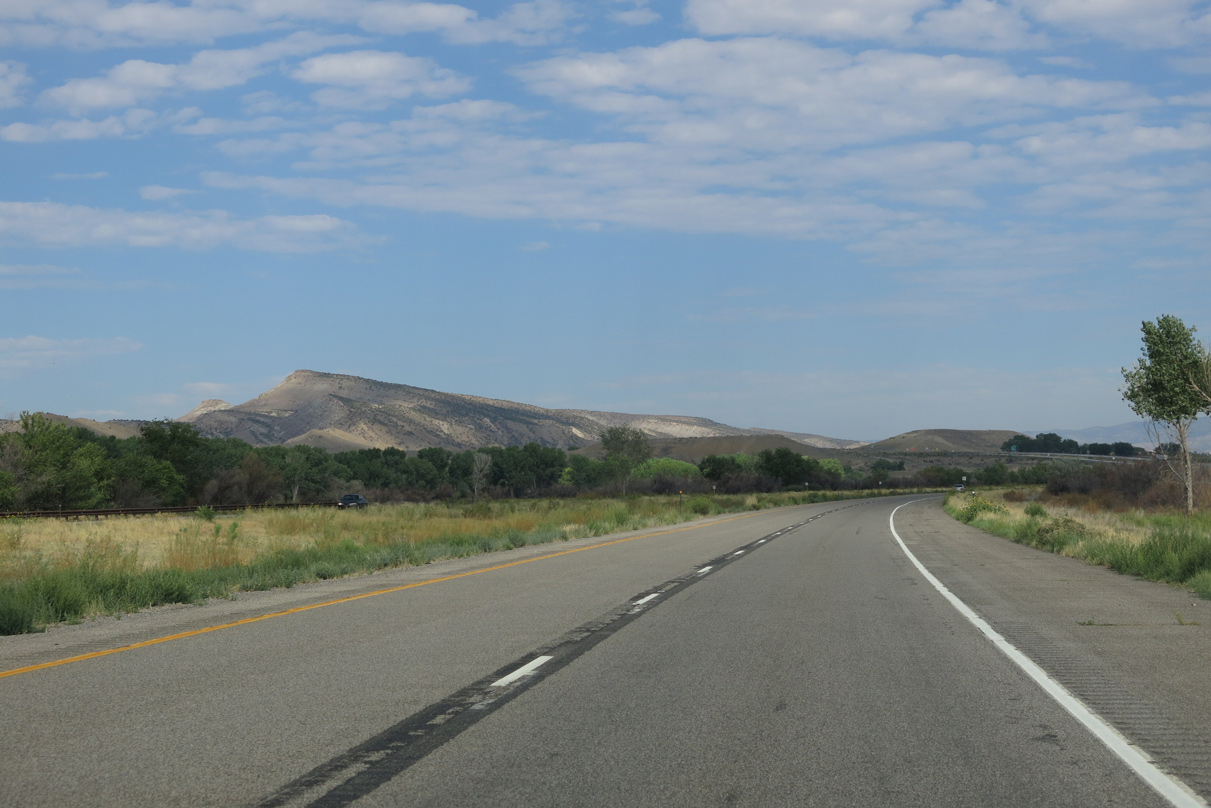
Leading away from Fruita, Interstate 70 crosses Little Salt Wash and Big Salt Wash adjacent to the Colorado River.
08/16/13
This distance sign replaced Green River, Utah at 90 miles with Mack and switched Las Vegas, NV at 506 miles with Jct I-15.
08/16/13
Interstate 70 spans part of the Colorado River north of Flume Creek Canyon.
08/16/13
08/16/13
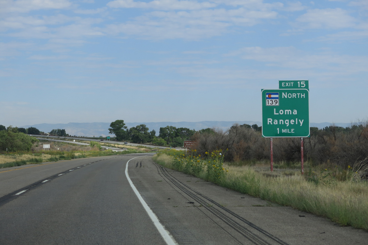
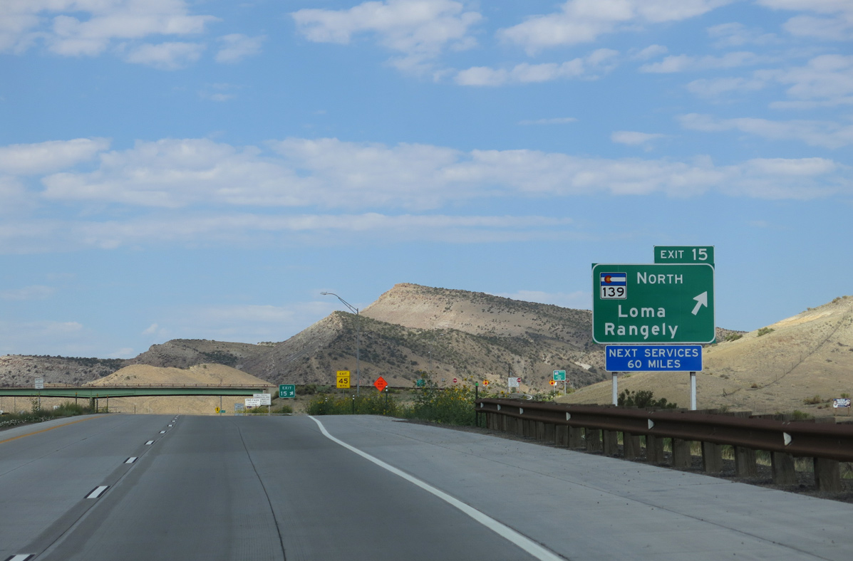
SH 139, a 72.07 mile long highway to SH 64 in Rangely, commences north from the diamond interchange at Exit 15.
08/16/13
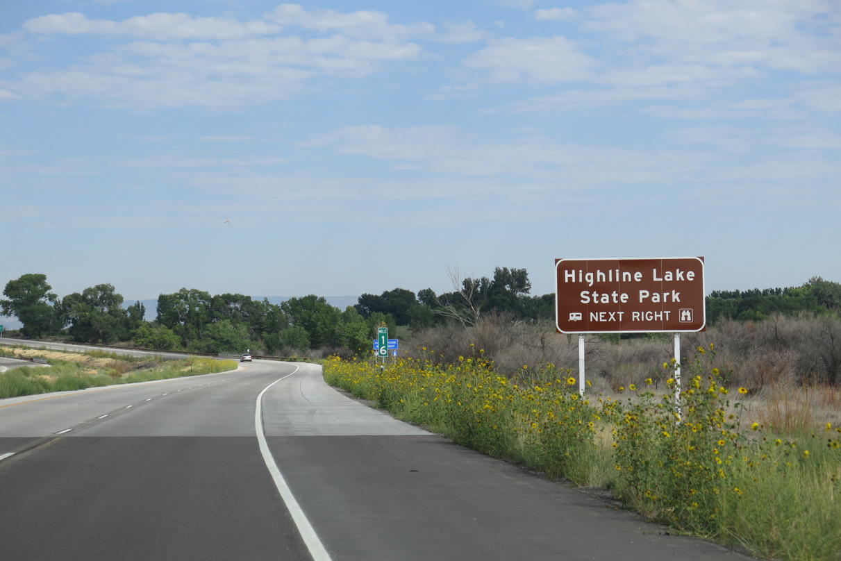
Highline Lake State Park lies west of SH 139 along Mack Mesa. Consisting of Highline Lake and Mack Mesa Lake, activities at the park include swimming, water sports, fishing and hiking.
08/16/13
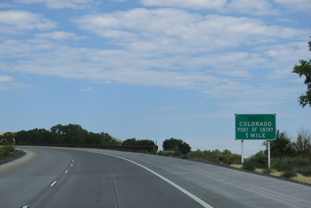
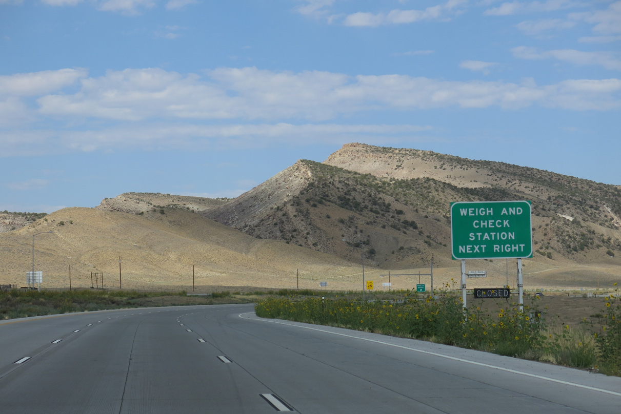
A port of entry (weigh station) operates along Interstate 70 westbound just beyond SH 139.
08/16/13
North from the unincorporated town of Loma and U.S. 6/50, SH 139 ascends into the Book Cliffs en route to Douglas Pass and the Rio Blanco County line near Twin Buttes.
08/16/13
08/16/13
08/16/13
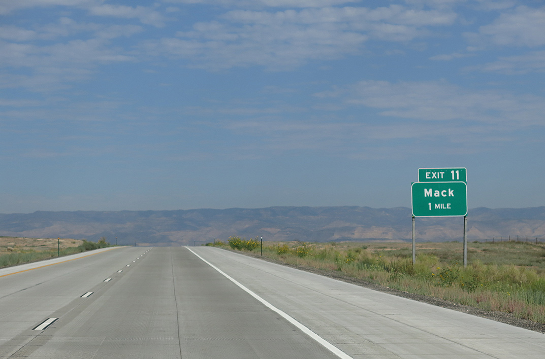
U.S. 6/50 return to Interstate 70 at a diamond interchange (Exit 11) south from the unincorporated community of Mack.
08/16/13
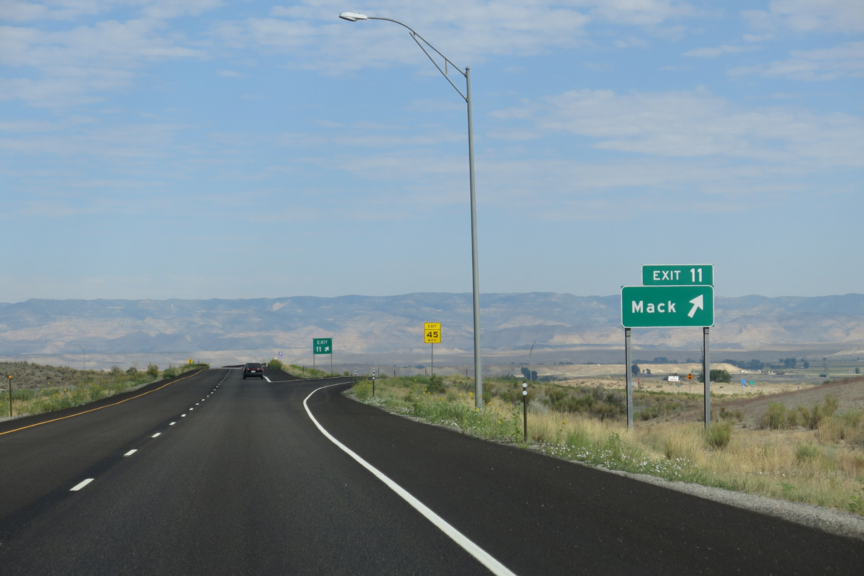
U.S. 6/50 northeast to Mack are part of the Dinosaur Diamond Scenic Byway. A mine located in Mack provides coal for the operation of the Xcel Energy facility at Cameo Station (Exit 46).
08/16/13

 West
West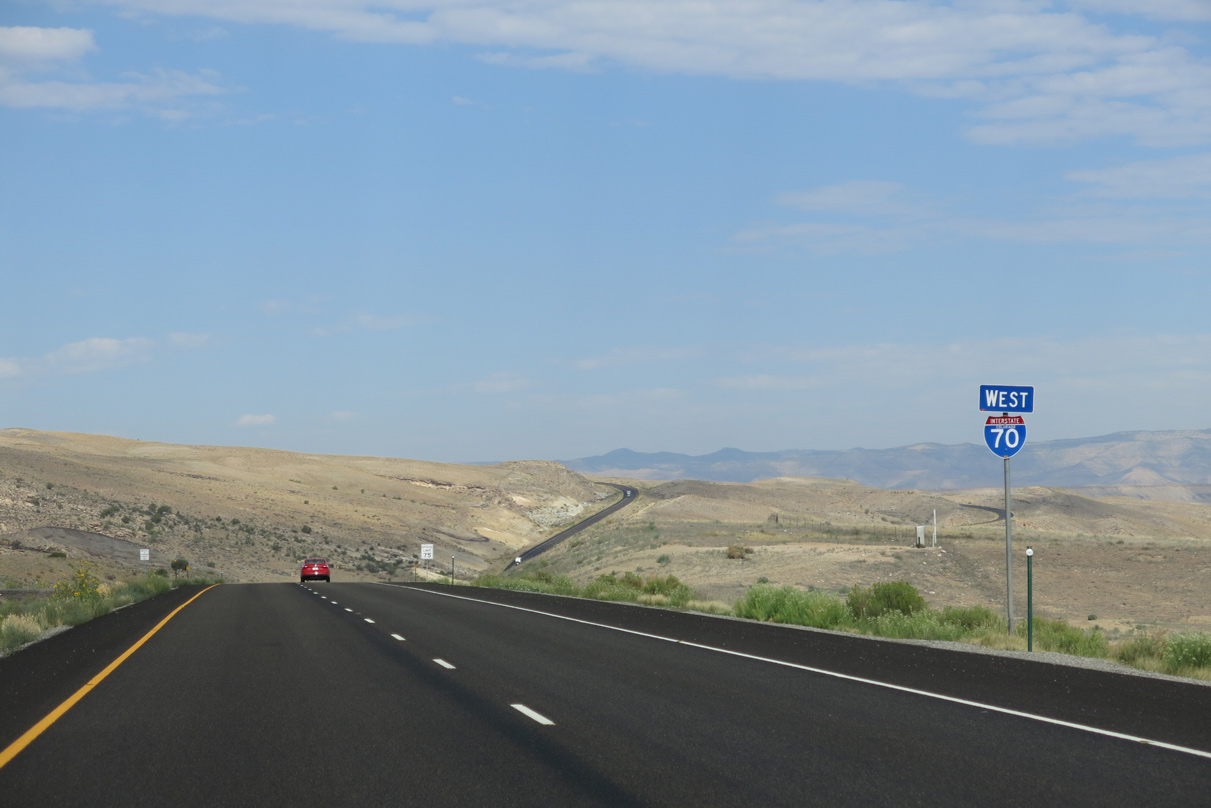
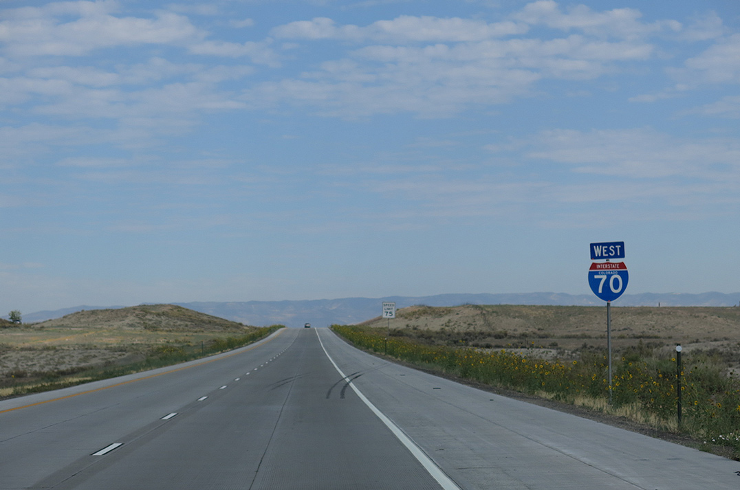
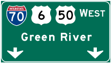
U.S. 6/50 accompany Interstate 70 west from Mack along an unmarked overlap into Utah. U.S. 6 emerges alongside U.S. 195 north toward Price. U.S. 50 reappears along I-70 west of Exit 89 and ahead of Fishlake National Forest.
08/16/13
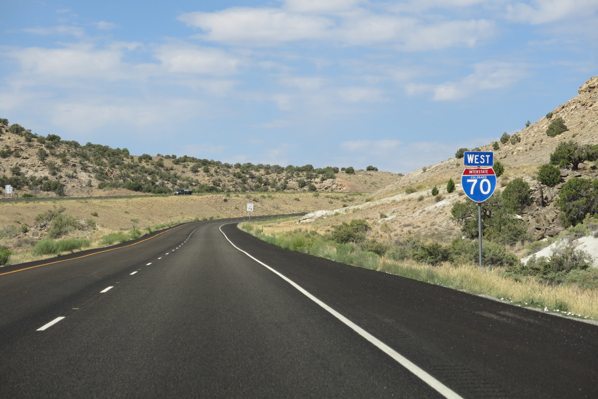
Lowering to cross Salt Creek and a Union Pacific Railroad line, ten miles of Interstate 70 west remain in the Centennial State.
08/16/13
Interstate 70 in western Mesa County is the Wade Oglesby Citizen Hero Memorial Highway.
08/16/13
An S-curve at mile marker 7.
08/16/13
I-70/U.S. 6-50 advance west into Rabbit Valley.
08/16/13
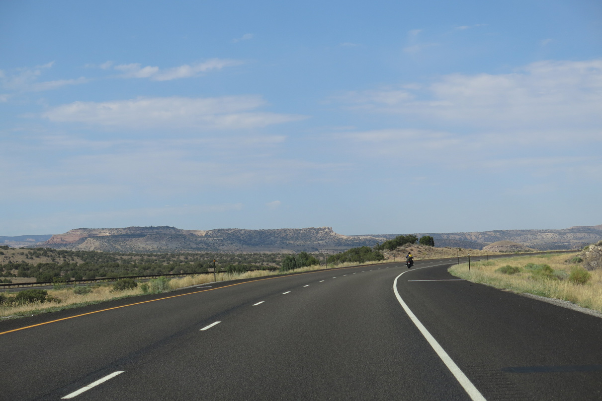
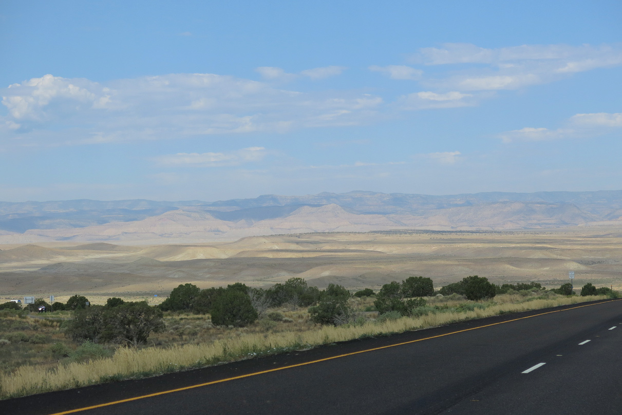
Mesas rise along the western horizon beyond McDonald Creek.
08/16/13
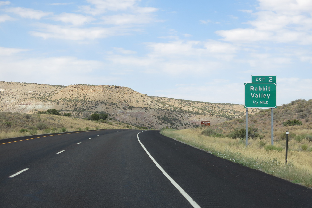
A diamond interchange connects I-70/U.S. 6-50 with Rabbit Valley Road at Exit 2.
08/16/13
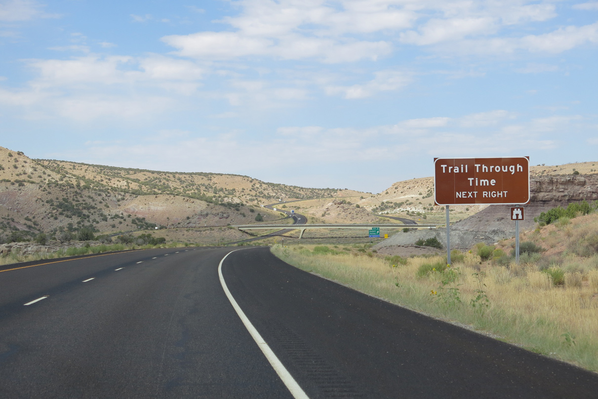
Rabbit Valley Road spurs north to the Trail Through Time.
08/16/13
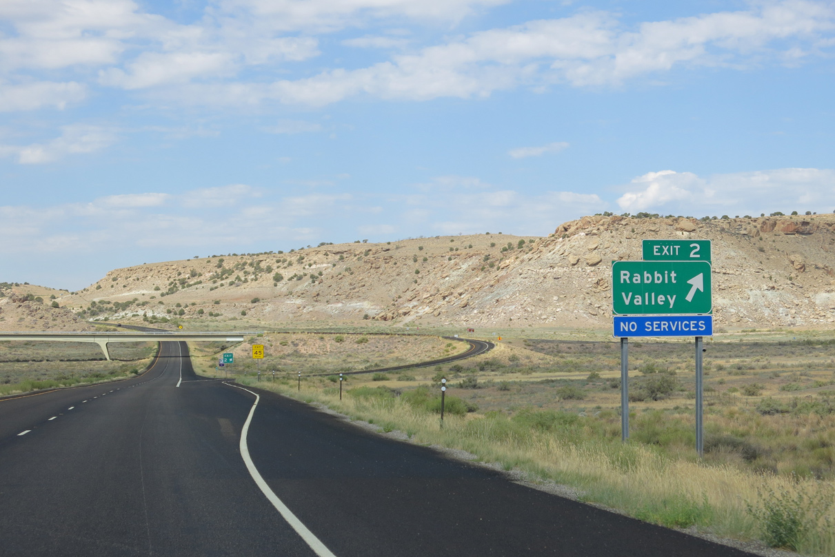
Rabbit Valley is an isolated area with no motorists services.
08/16/13
08/16/13
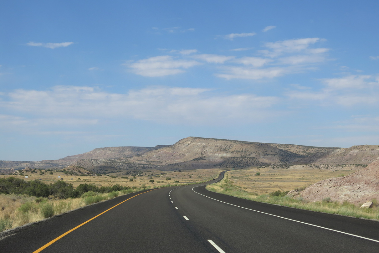
Interstate 70 and U.S. 6-50 westbound lower from a mesa into Grand County, Utah through a swath of vastly undeveloped ranch land.
08/16/13
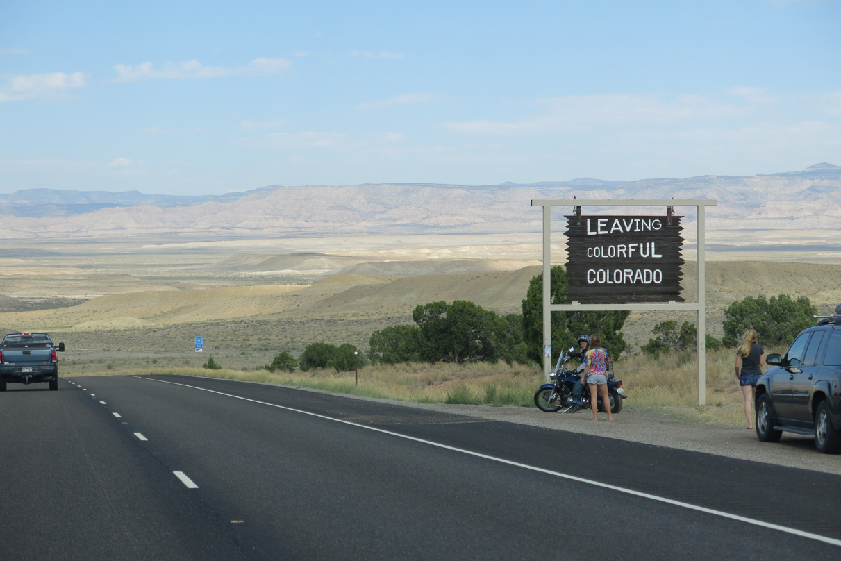
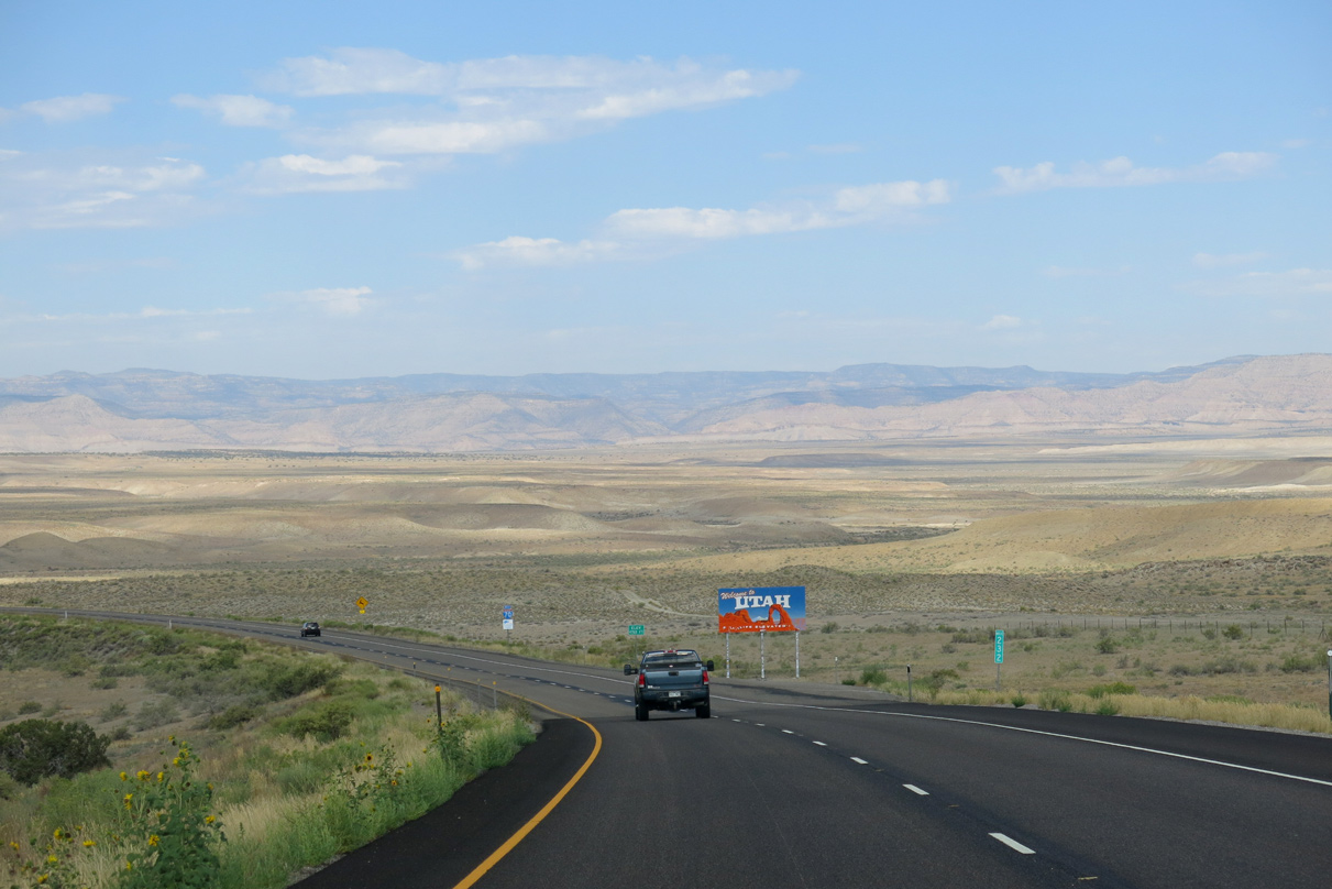
A "Leaving Colorful Colorado" signs stands next to a roadside turnout preceding the Utah state line.
08/16/13
08/16/13

Sources:
- "I-70 Exit 31 Horizon Drive Roundabouts." Colorado Department of Transportation (CDOT), project web page.
Photo Credits:
10/18/04, 08/15/13, 08/16/13 by AARoads
Connect with:
Business Loop I-70 - Grand Junction / Clifton
U.S. 6
U.S. 50
Page Updated 01-24-2022.