|
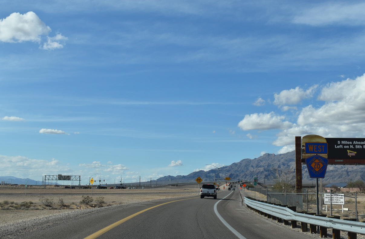
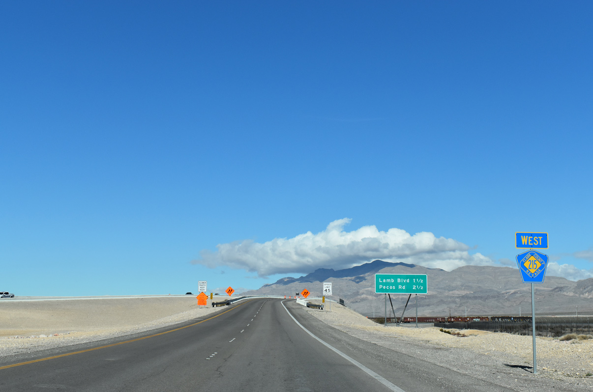
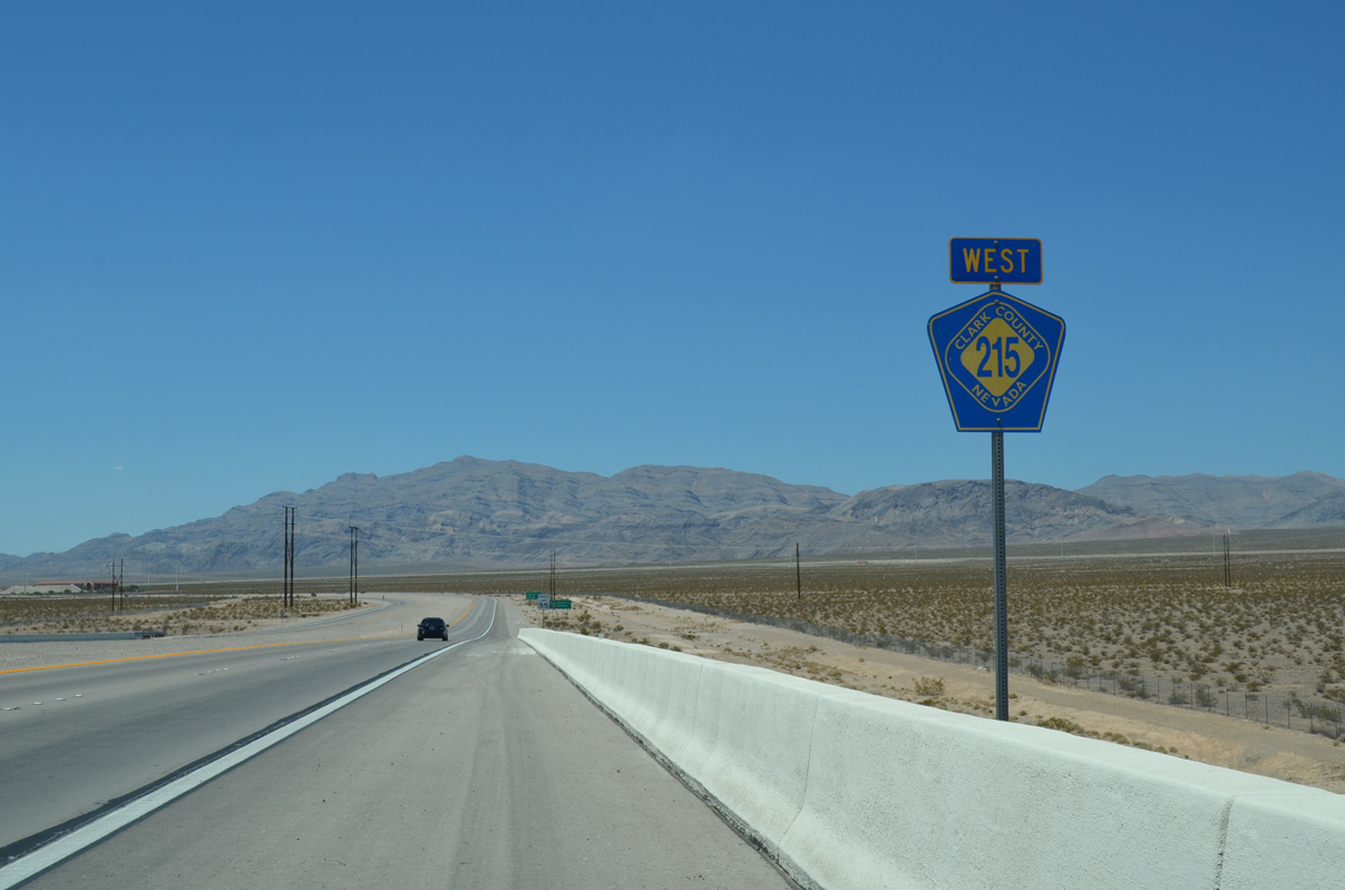
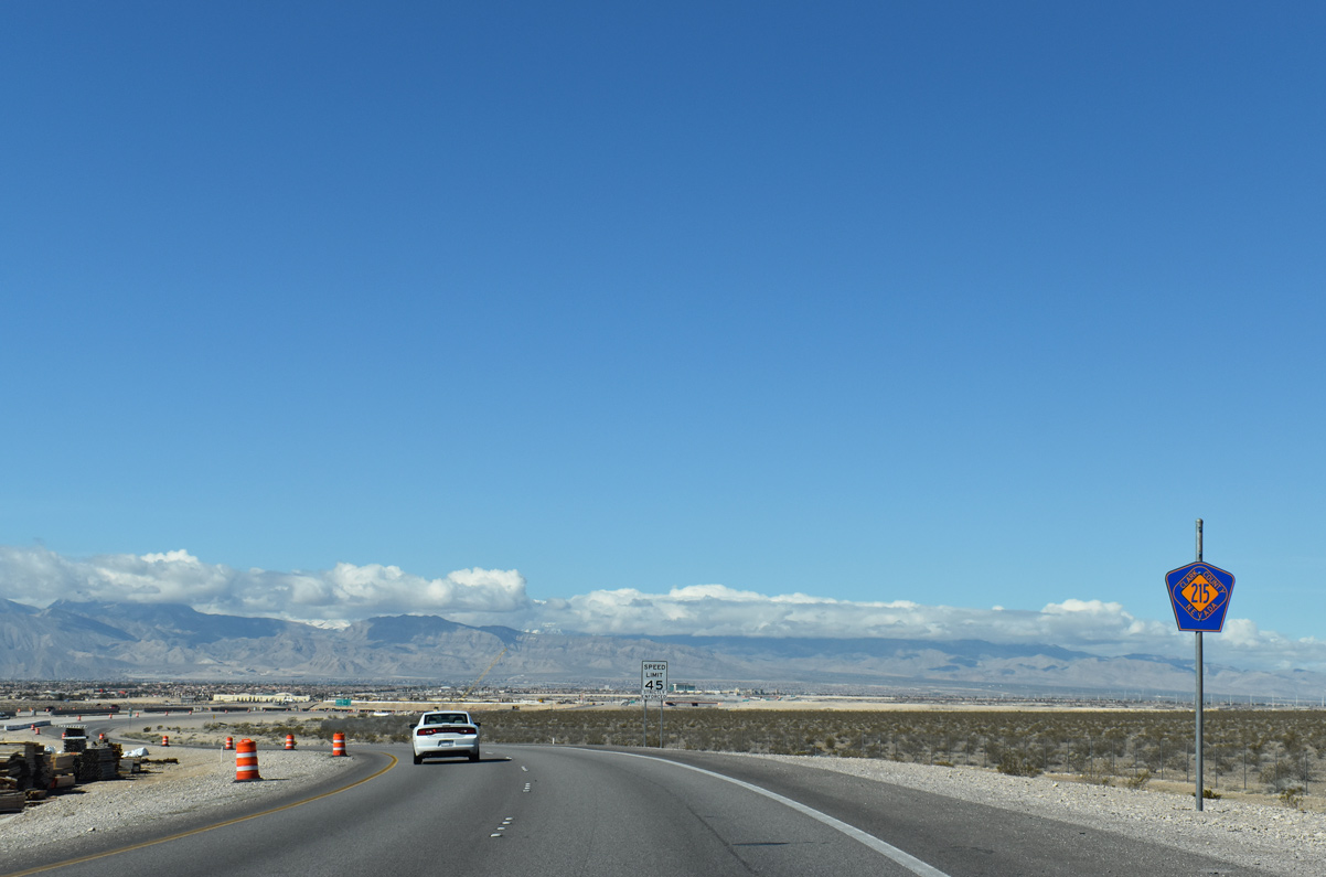
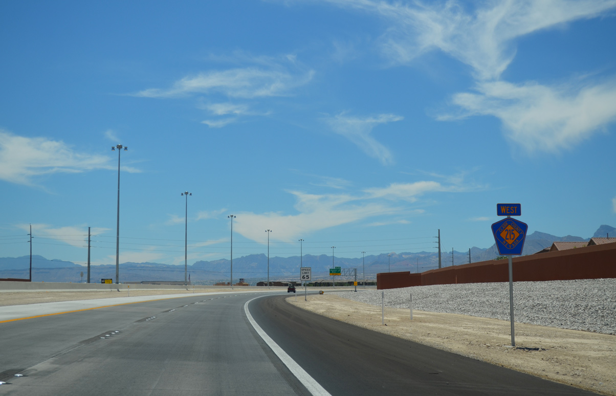
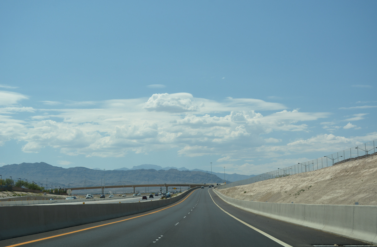
| Initial confirming marker for Clark County 215 (CC-215) stands near the merge point from I-15 in North Las Vegas. The Las Vegas Beltway commences a 51 mile three-quarter loop around the greater Las Vegas area. 03/04/19 |
|
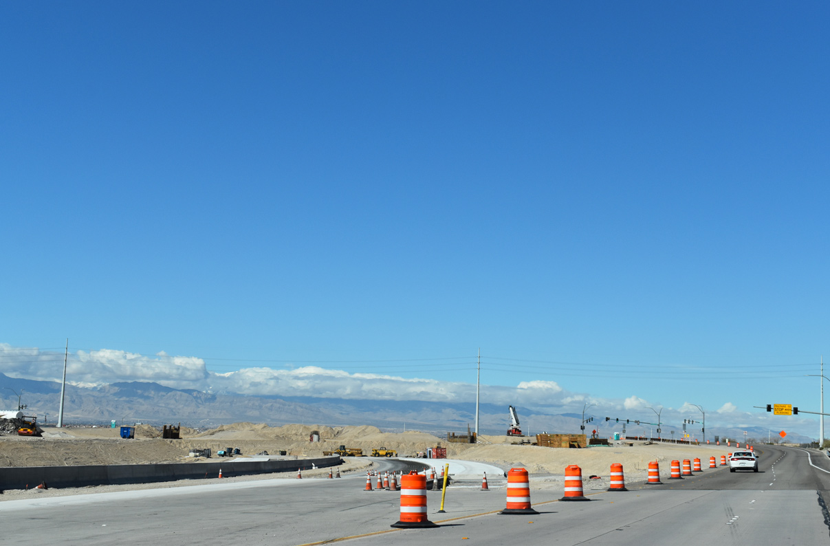
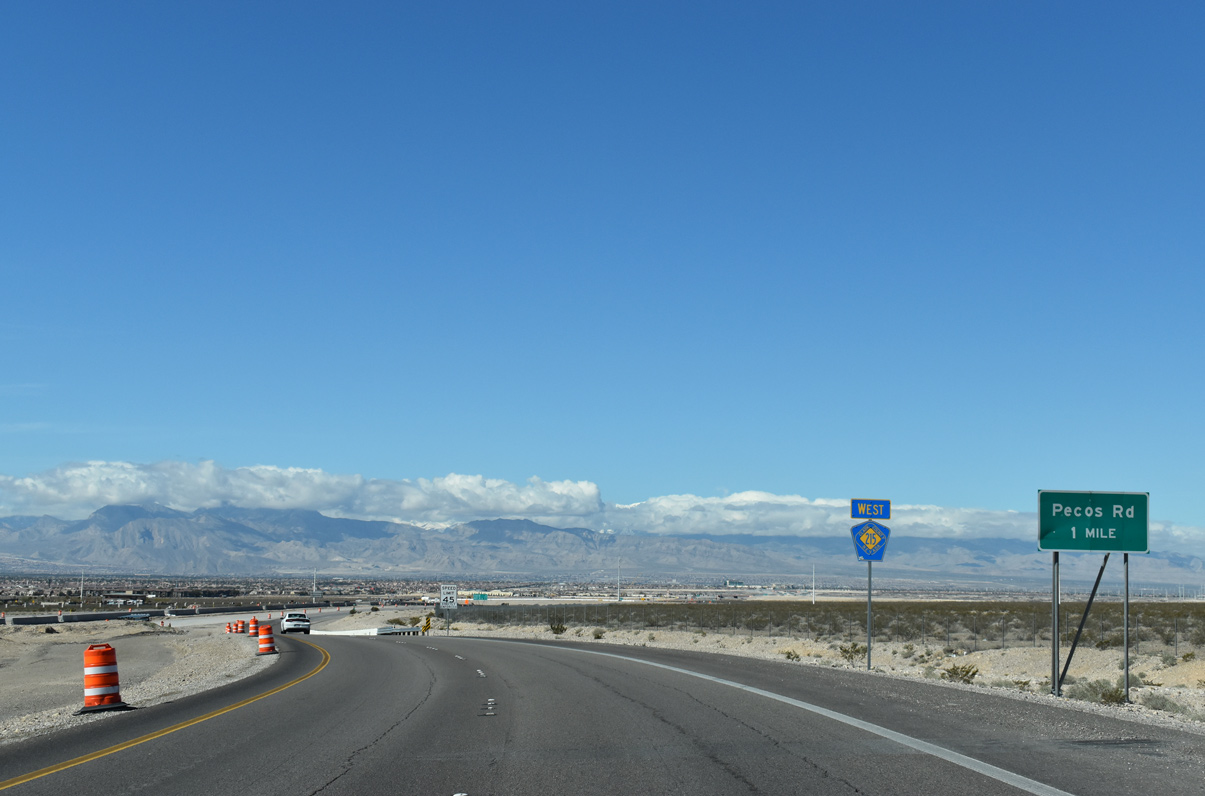
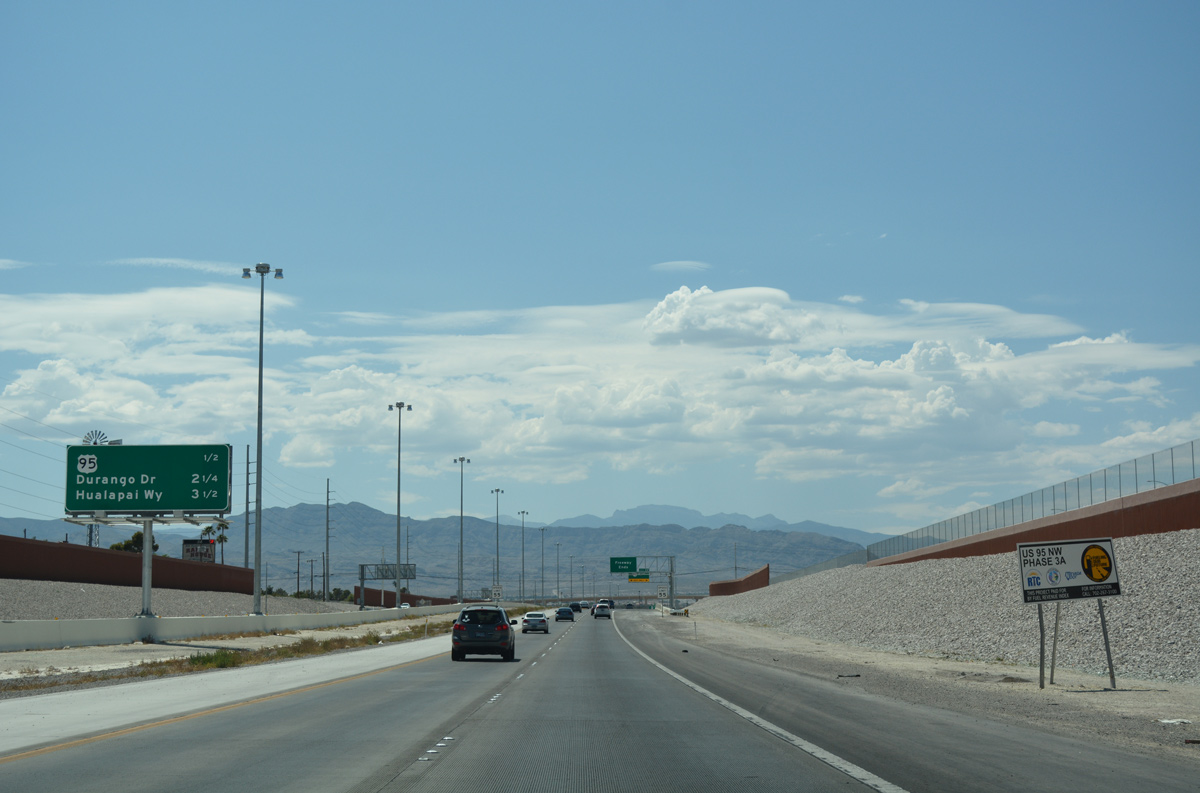
| Improvements to the first four miles of CC-215 will upgrade three at-grade intersections to interchanges, with completion expected summer 2020.1
The North Las Vegas Veteran Affairs (VA) Medical Center is located three miles west along Pecos Road. 07/21/14 |
|
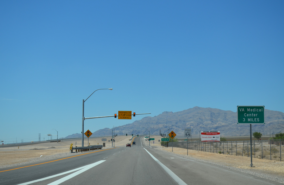
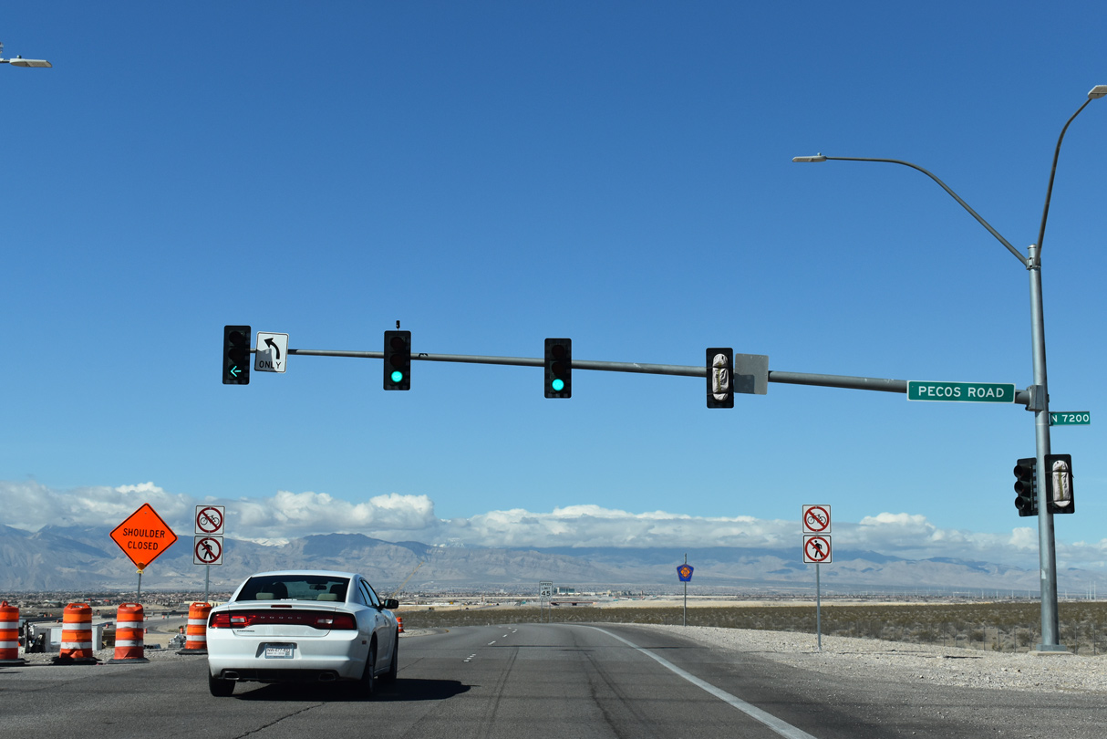
| CC-215 (Las Vegas/Bruce Woodbury Beltway) west currently meets Range Road at this traffic signal. Range Road serves the Nevada Army National Guard facility north of the intersection.
Direct access to Range Road from CC-215 west will be severed with completion of the I-15/CC-215 Northern Beltway Interchange improvements project, slated for 20238. 03/04/19 |
|
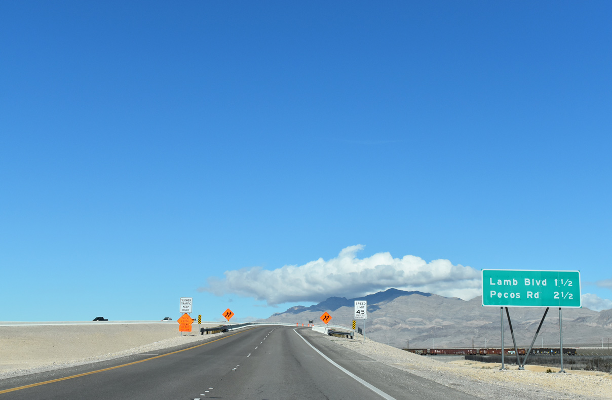
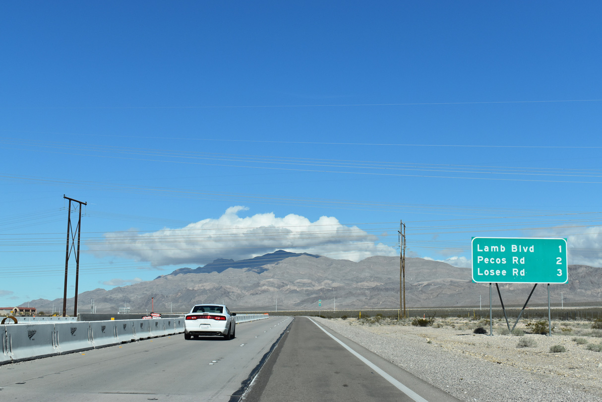
| The Las Vegas Beltway (CC-215) rises over Union Pacific rail lines on the drive to Lamb Boulevard and Pecos Road. 03/03/19 |
|
| The Las Vegas Beltway rises over Union Pacific rail lines on the drive to Lamb Boulevard and Pecos Road. 03/03/19, 07/21/14 |
|
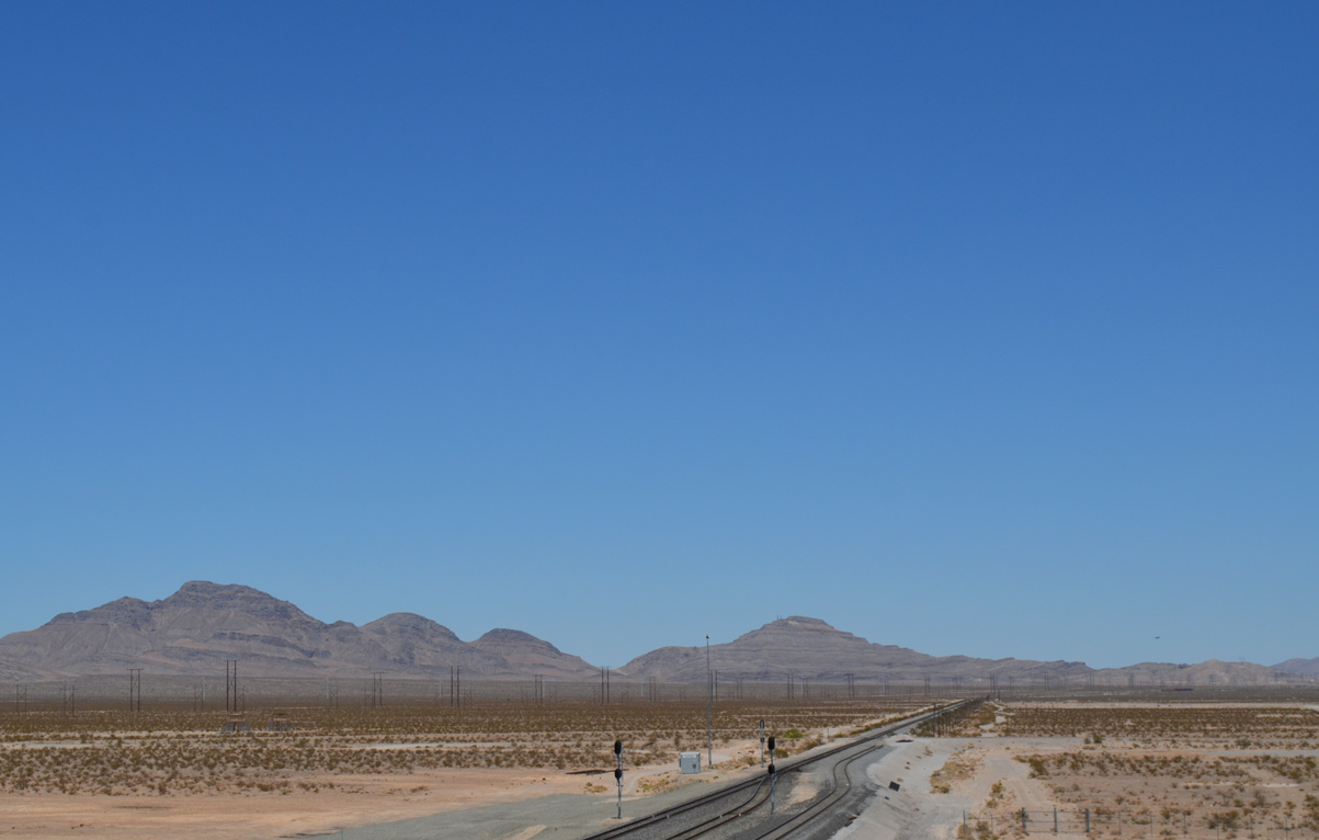
| Drivers have an unobstructed view of the Desert National Wildlife mountain range as CC-215 advances northwest. 07/21/14 |
|
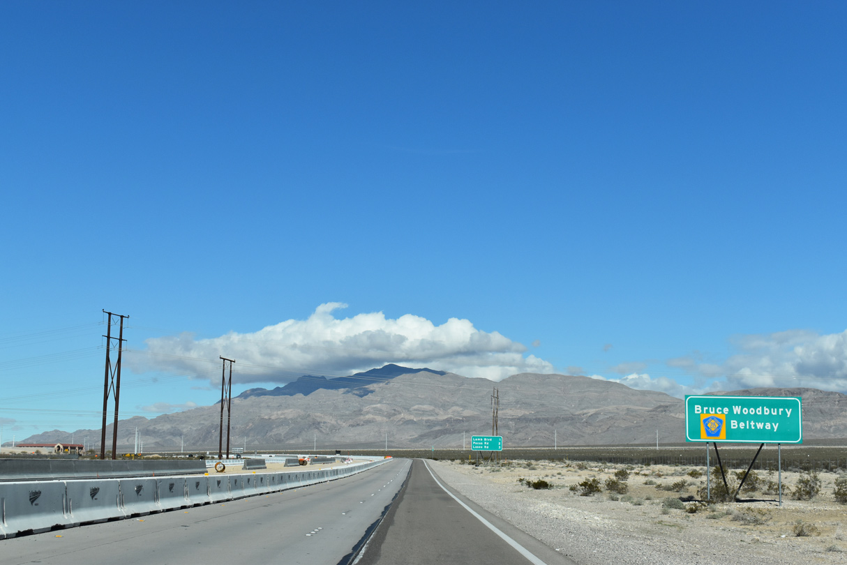
| The Las Vegas Beltway doubles as the Bruce Woodbury Beltway, named in honor of the local government official who helped shape the Las Vegas metro area transportation system. 03/03/19 |
|
| CC-215 (Bruce Woodbury Beltway) turns west one mile out from Lamb Boulevard (Exit 49). Losee Road meets the Beltway ahead of North 5th Street (Exit 46) in three miles. 03/03/19 |
|
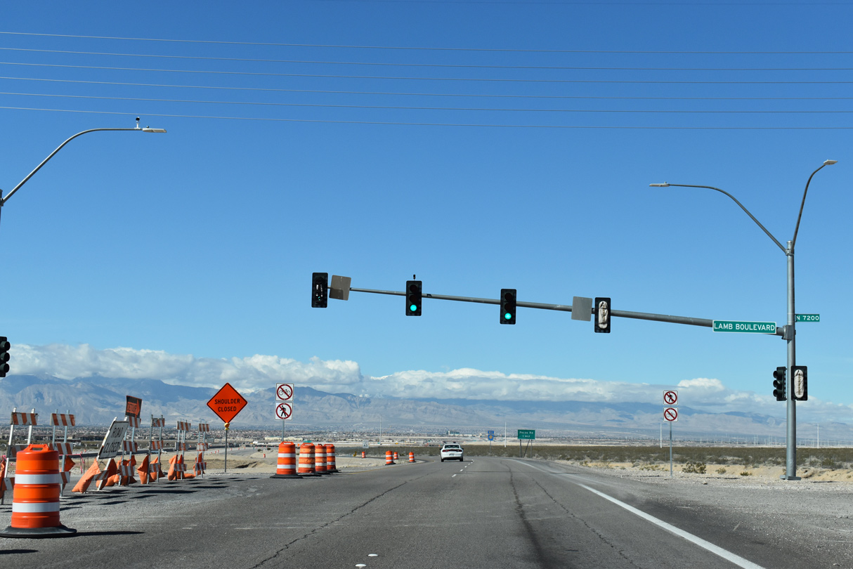
| Stub outs were built ahead of construction that replaces the at-grade intersection with a diamond interchange (Exit 49) with Lamb Boulevard.
Work on the four mile project is slated to conclude summer 2020. 03/03/19 |
|
| The Bruce Woodbury Beltway meets Lamb Boulevard at a signalized intersection. The local road branches south through North Las Vegas into the Sunrise Manor neighborhood of Las Vegas. 03/03/19 |
|
| One mile out from Pecos Road (Exit 48) on CC-215 west. 03/03/19 |
|
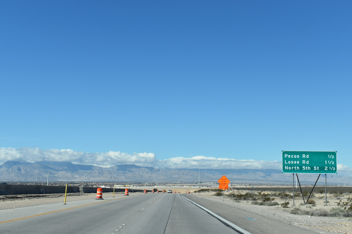
| 2.5 miles separate the next three interchanges along westbound CC-215 (Bruce Woodbury Beltway). 03/03/19 |
|
| A portion of the La Madre mountain range rises in the distance as Clark County Route 215 continues west through undeveloped North Las Vegas. 07/21/14 |
|
| Pecos Road travels south to meet Washburn Road near Shadow Creek Golf Course, 2.4 miles from the Beltway. 03/03/19 |
|
| This confirming marker stands beyond Pecos Road (Exit 48). 03/03/19 |
|
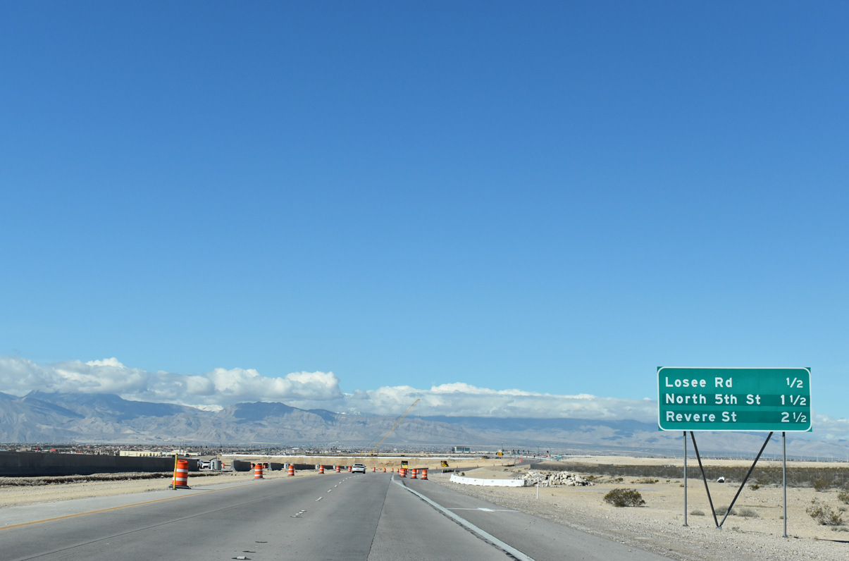
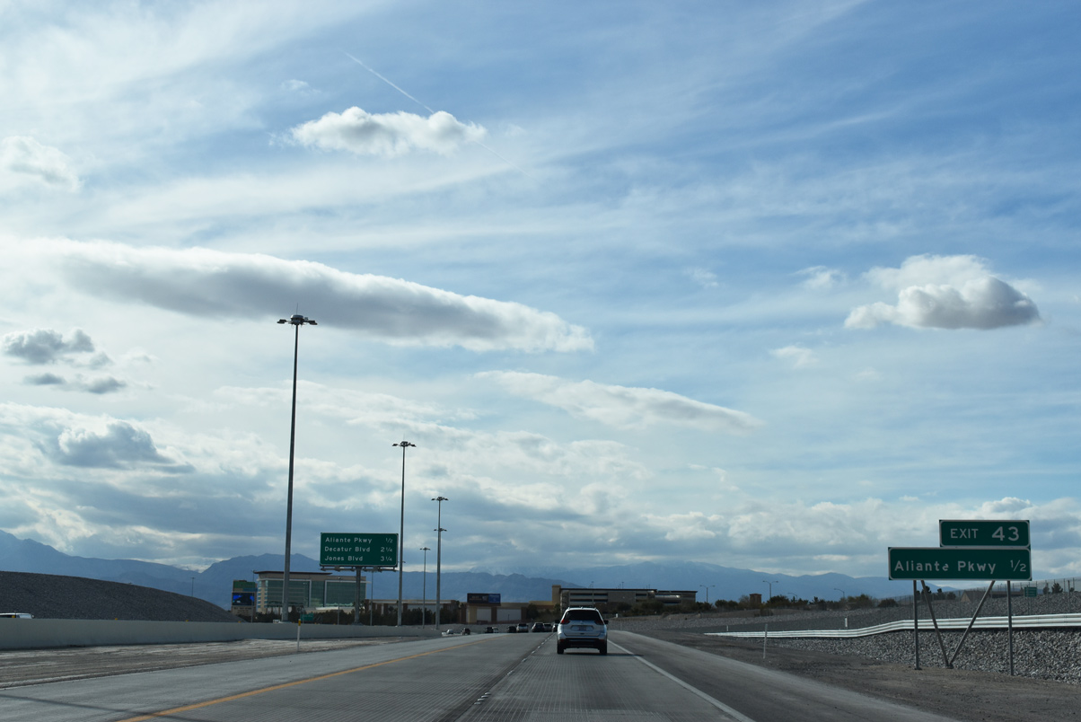
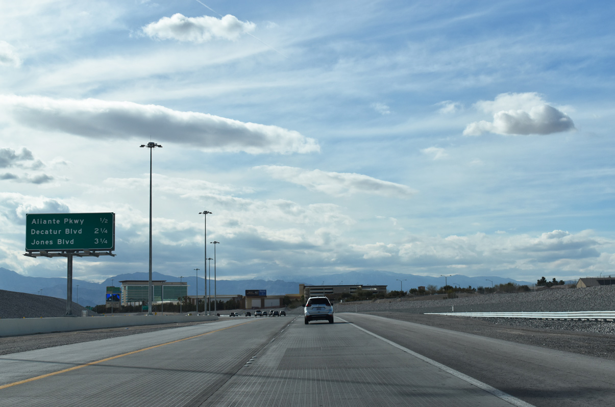
| CC-215 advances west one half mile to Losee Road next. Aliante Parkway meets the freeway at a diamond interchange (Exit 43) in four miles. 03/03/19 |
|
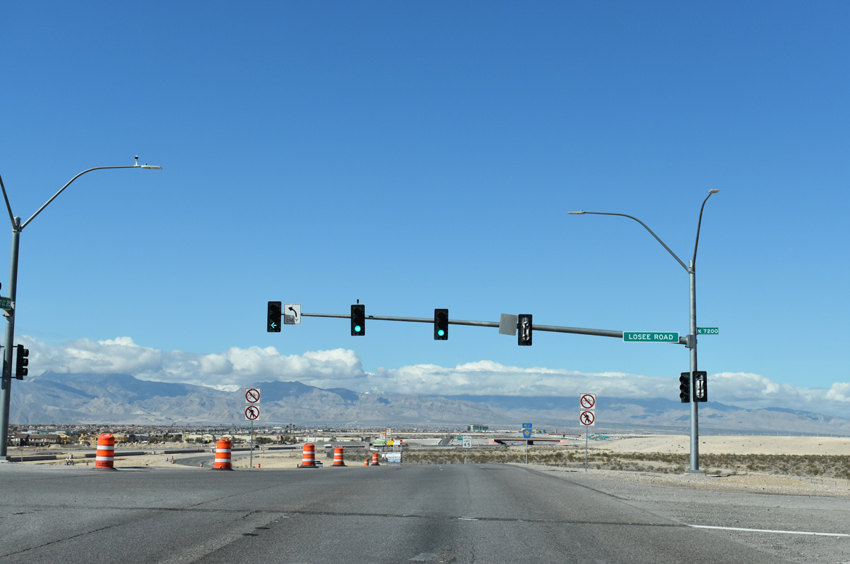
| This assembly preceded the at-grade intersection with Losee Road. 07/21/14 |
|
| Losee Road connects the Bruce Woodbury Beltway with Craig Road (former SR 573) 3.5 miles to the south. 03/03/19 |
|
| One mile separates Losee Road and upcoming North 5th Street (Exit 46) along CC-215 west. 03/03/19 |
|
| The next three successive interchanges for the Las Vegas Beltway. 03/03/19 |
|
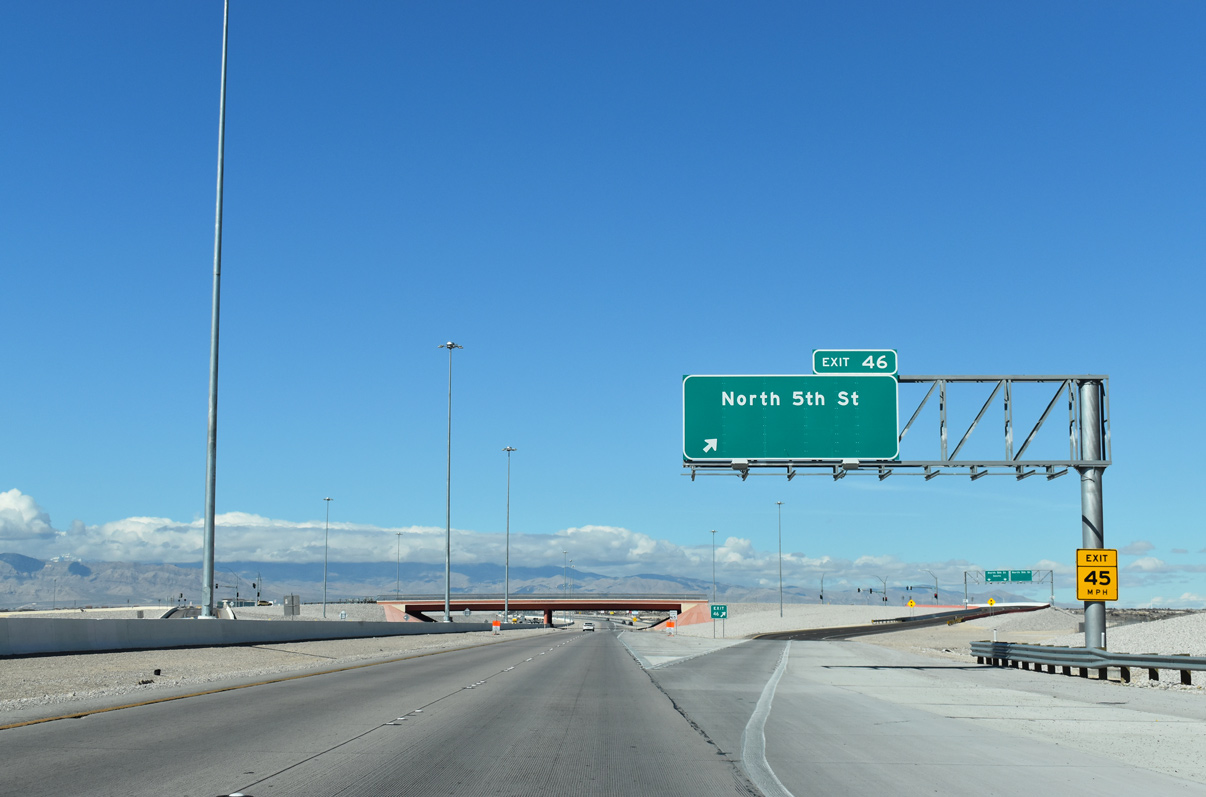
| North 5th Street beelines south from a diamond interchange (Exit 46) into central North Las Vegas. 03/03/19 |
|
| Shopping centers line the east side of North 5th Street adjacent to the Bruce Woodbury Beltway (CC-215). 03/03/19 |
|
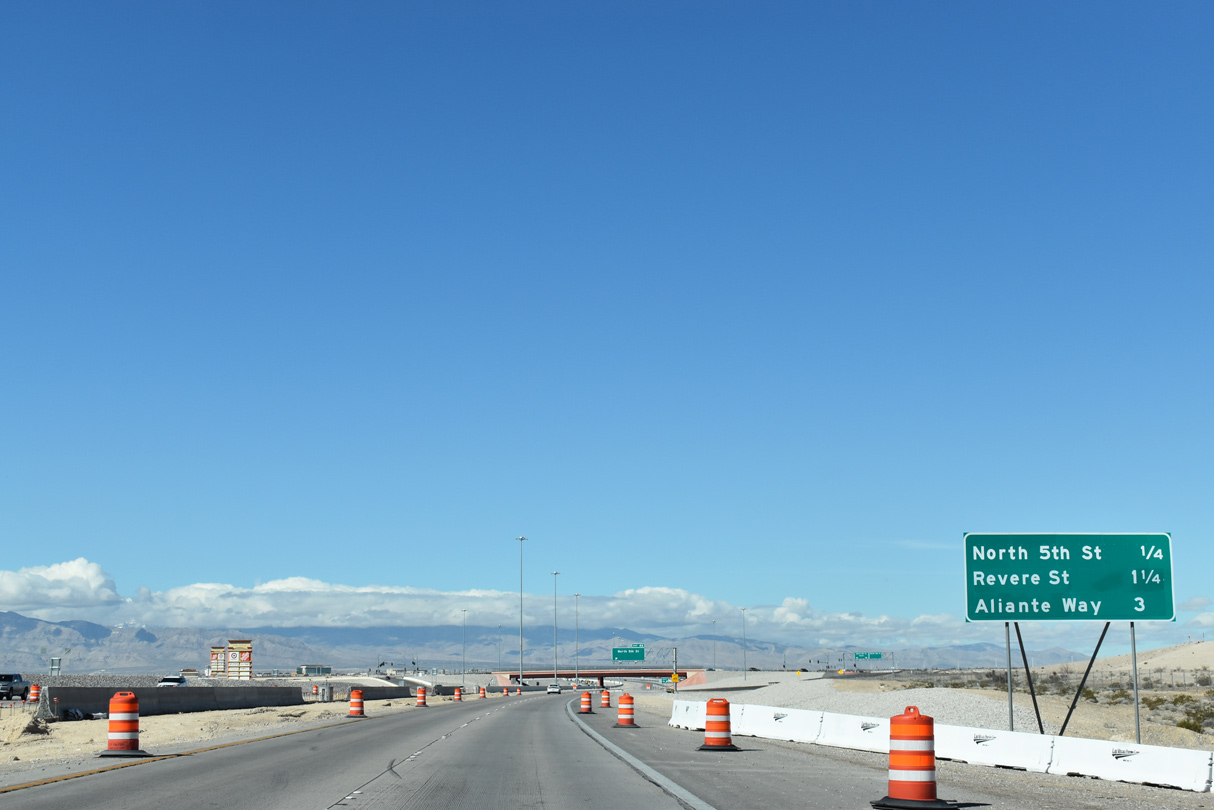
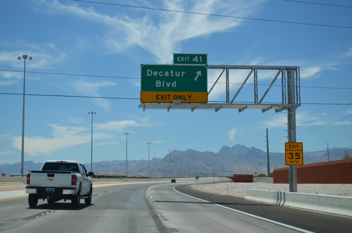
| An auxiliary lane joins Exit 46 (North 5th Street) with Revere Street while Decatur Boulevard (Exit 41) connects the Beltway with the Iron Mountain Ranch neighborhood 3.75 miles ahead. 03/04/19 |
|
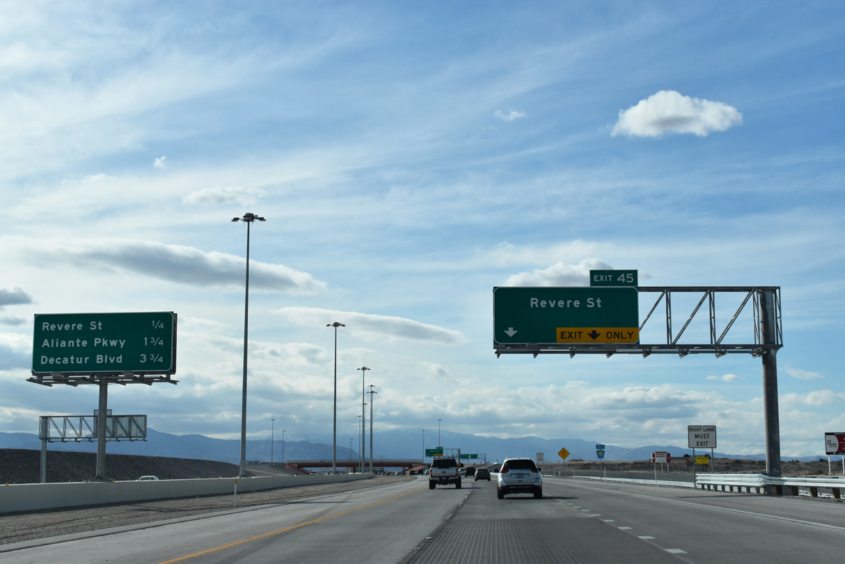
| Confirming marker posted ahead of the 2016-built diamond interchange (Exit 45) with Revere Street. 03/04/19 |
|
| Two lanes depart for Revere Street (Exit 45). Revere Street joins CC-215 with Deer Springs Way opposite Commerce Street in North Las Vegas. 03/04/19 |
|
| This section of the Bruce Woodbury Beltway was upgraded to freeway standards by Fall 2016 with the addition of the Revere Street interchange (Exit 45). 03/04/19 |
|
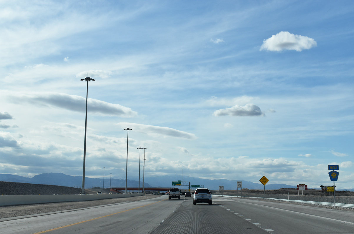
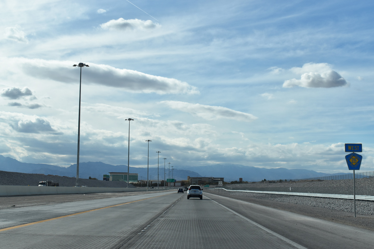
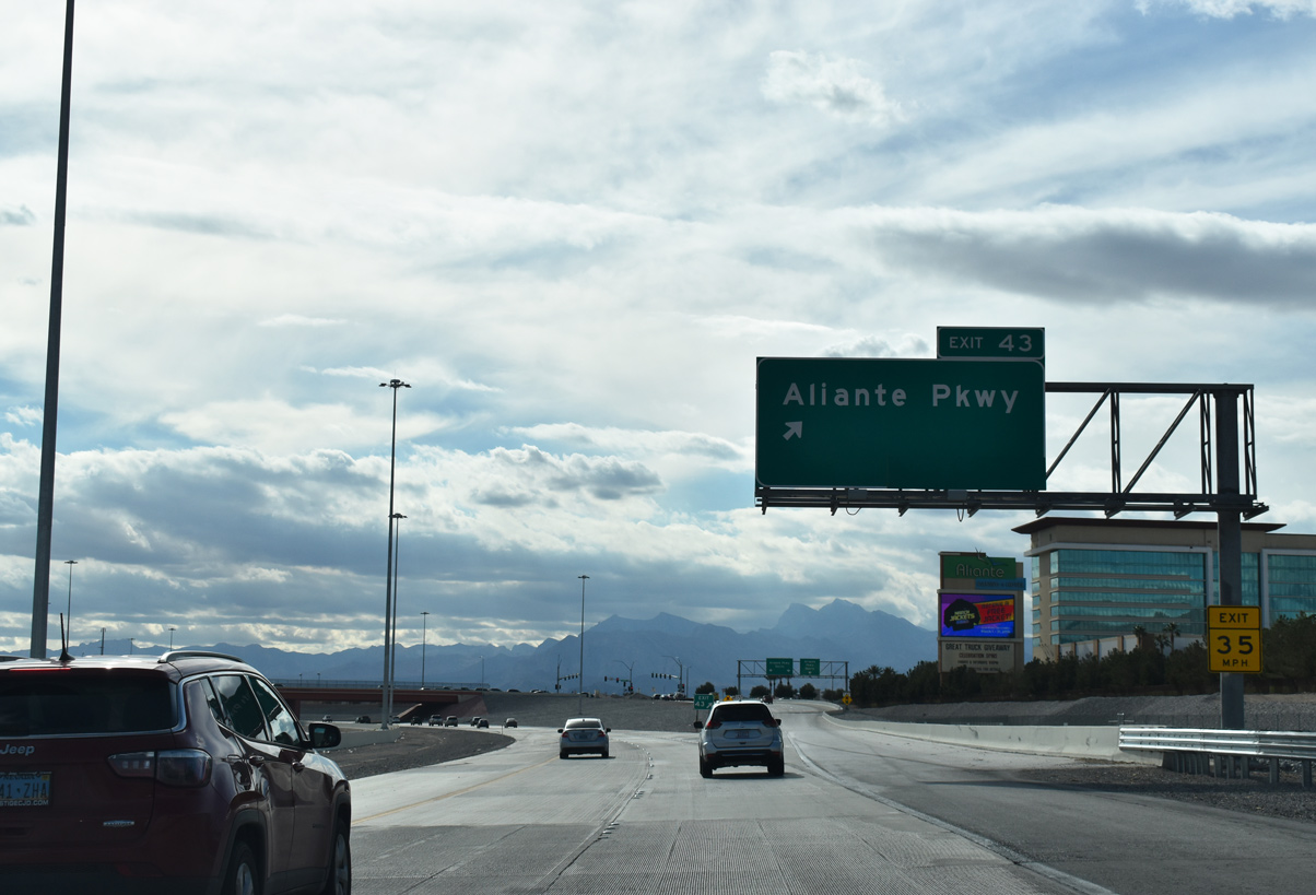
| One half mile ahead of Aliante Parkway on CC-215 west. Aliante Parkway (Exit 43) connects the beltway with the Aliante master planned community. 03/04/19 |
|
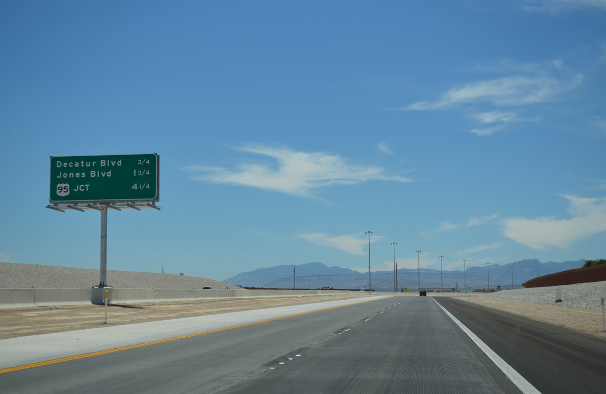
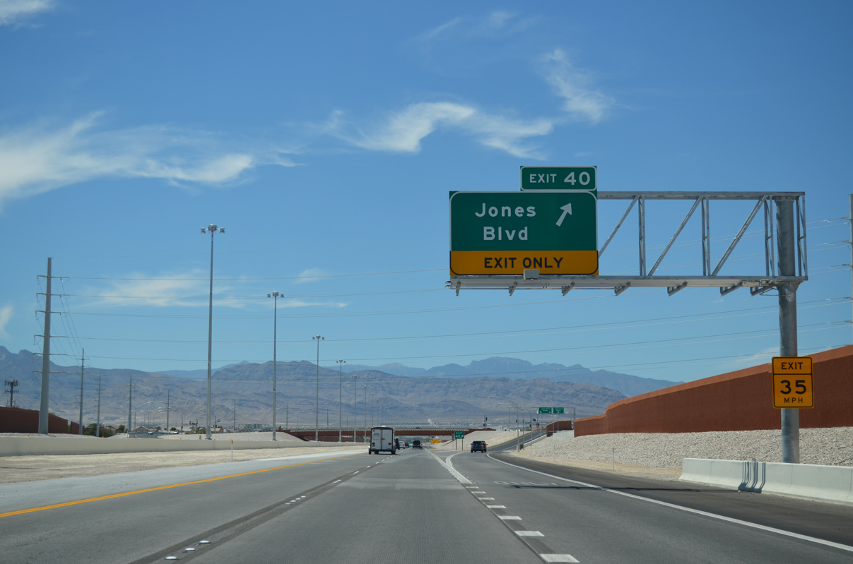
| Decatur Boulevard (Exit 41) joins CC-215 with North Las Vegas Airport (VGT) 2.25 miles ahead while Jones Boulevard (Exit 40) precedes the Centennial Bowl interchange with U.S. 95 in 3.25 miles. 03/04/19 |
|
| A single lane ramp shuttles traffic from CC-215 west to Aliante Parkway (Exit 43). Sun City Aliante (age restricted community) and Aliante Golf Club are located to the north of the Aliante hotel/casino resort. 03/04/19 |
|
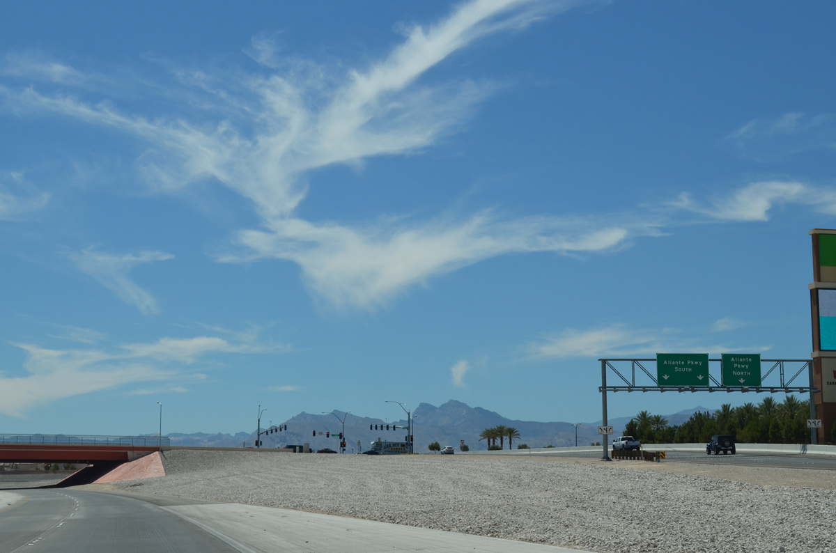
| Aliante Parkway borders the golf club as it extends north to Grand Teton Drive. Traveling south, Aliante Parkway passes through residential neighborhoods to Centennial Parkway opposite Simmons Street. 07/21/14 |
|
| CC-215 (Bruce Woodbury Beltway) advances from Aliante Parkway (Exit 43) through western reaches of North Las Vegas. 07/21/14 |
|
| U.S. 95 leads south to Downtown Las Vegas at the Centennial Bowl interchange in 4.25 miles. Decatur Boulevard (Exit 41) otherwise meets CC-215 next. 07/21/14 |
|
| A reassurance marker stands alongside the Bruce Woodbury Beltway as it turns back west ahead of Exit 41 (Decatur Boulevard). 07/21/14 |
|
| Decatur Boulevard lines the western limits of North Las Vegas as it extends north and south from Exit 41. The arterial extends south 4.3 miles to Rancho Drive (SR 599) near North Las Vegas Airport (VGT). 07/21/14 |
|
| The Bruce Woodbury Beltway (CC-215) gains an auxiliary lane as it advances to Jones Boulevard (Exit 40) next. 07/21/14 |
|
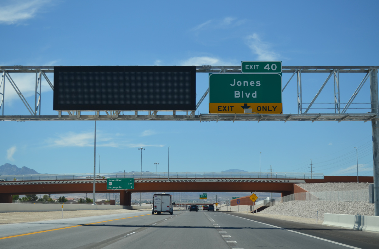
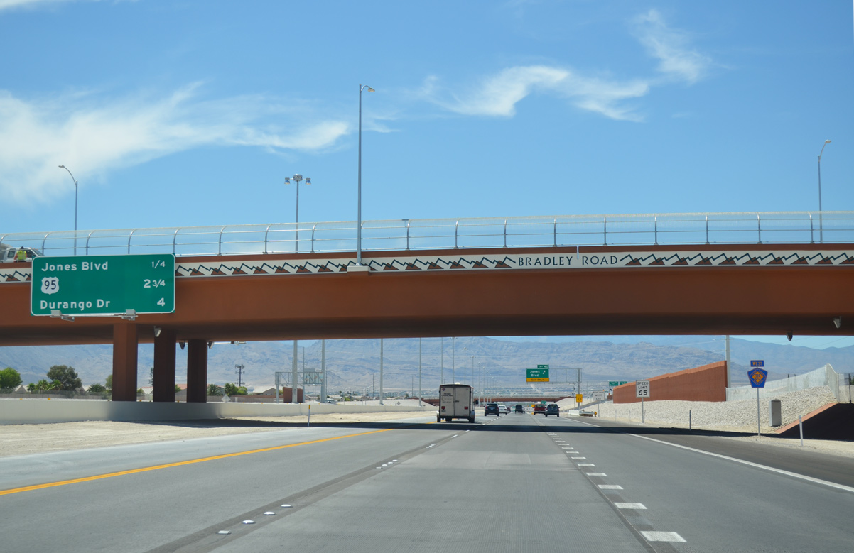
| Motorists drive under a 2012-built overpass for Bradley Road 2.75 miles out from the Centennial Bowl (U.S. 95) exchange. 07/21/14 |
|
| Westbound Clark County Route 215 reaches Exit 40 (Jones Boulevard). Jones Boulevard stretches south across the Las Vegas Valley to Spring Valley and Enterprise. 07/21/14 |
|
| Locally, Jones Boulevard stems north from the Bruce Woodbury Beltway to Iron Mountain Road near the Carmel Canyon neighborhood. Jones Boulevard otherwise extends south to SR 599 (Rancho Drive) at Alexander Road. 07/21/14 |
|
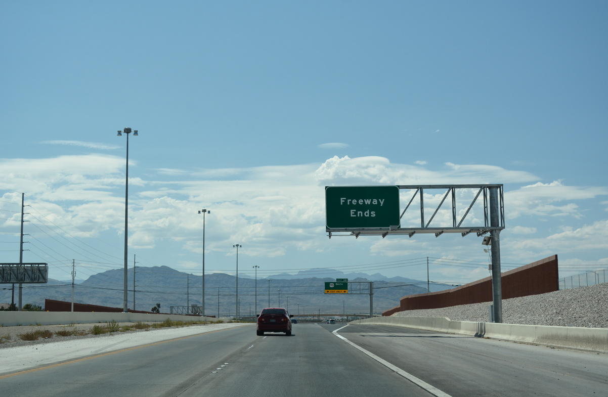
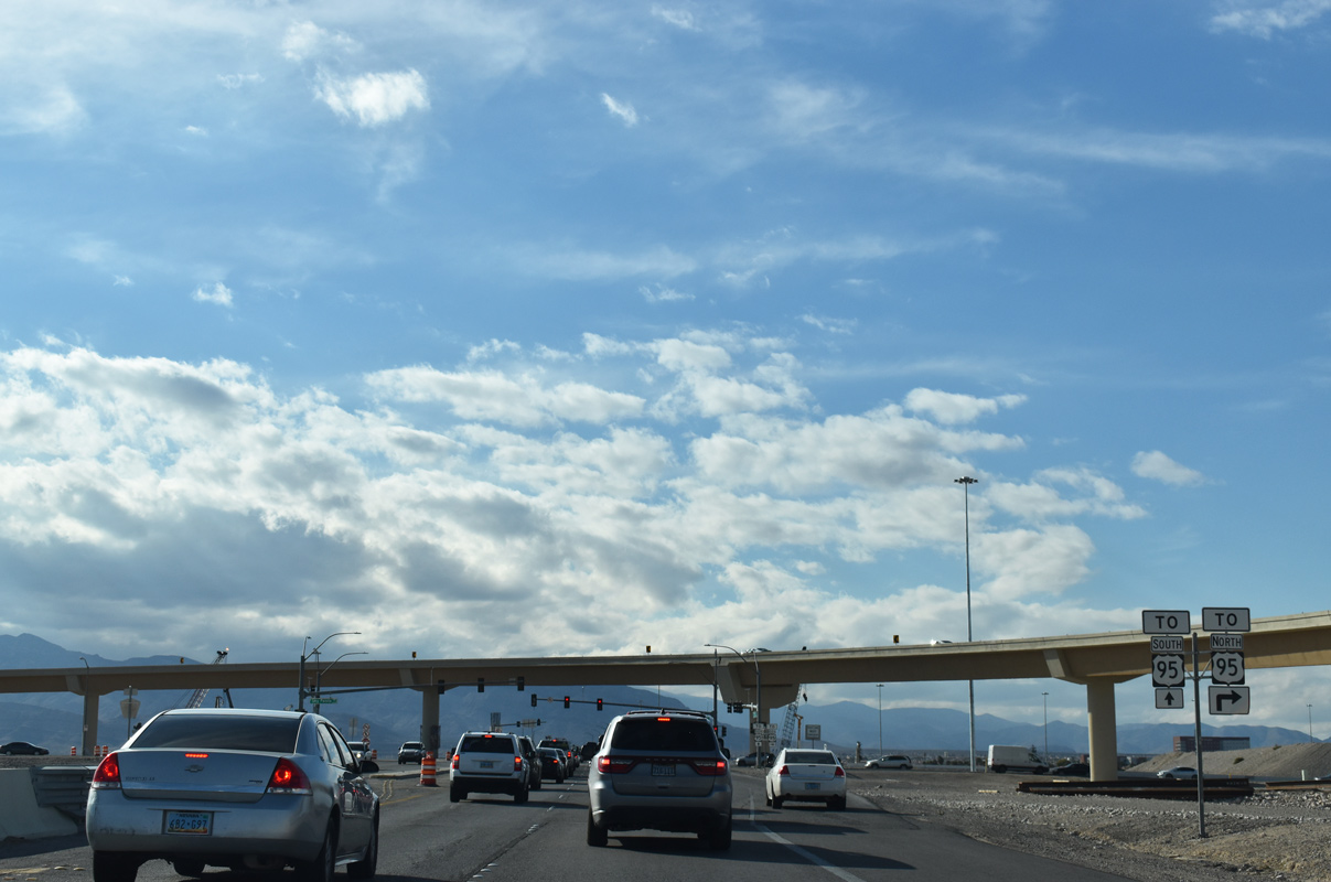
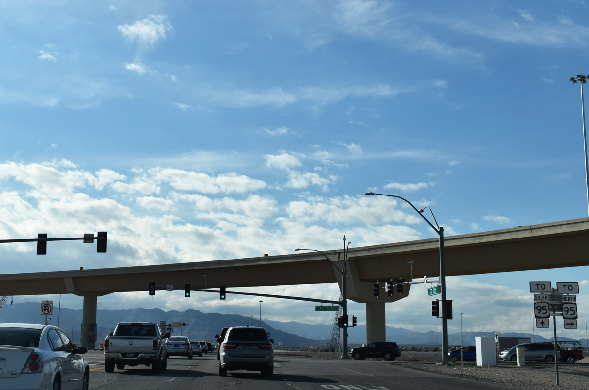
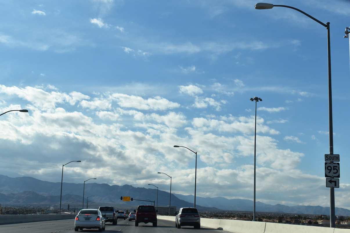
| A pair of guide signs alert motorists of the temporary end of the Las Vegas Beltway (CC-215) at the upcoming exchange with U.S. 95 (Oran K. Gragson Freeway).
Improvement projects continue to upgrade the existing connection to a systems interchange, with expected completion by at least 2022.4 07/21/14, 07/22/17 |
|
| CC-215 west enters into a slow descent on the approach to the Centennial Bowl interchange with U.S. 95 (Exit 38). 03/04/19 |
|
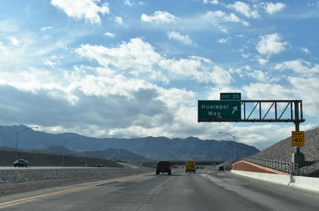
| Hualapai Way (Exit 35) represents the last westbound interchange before the Bruce Woodbury Beltway turns southward toward Summerlin.
Work on Phase 3A of the multi-year project wrapped up by Summer 2017.
07/22/17 |
|
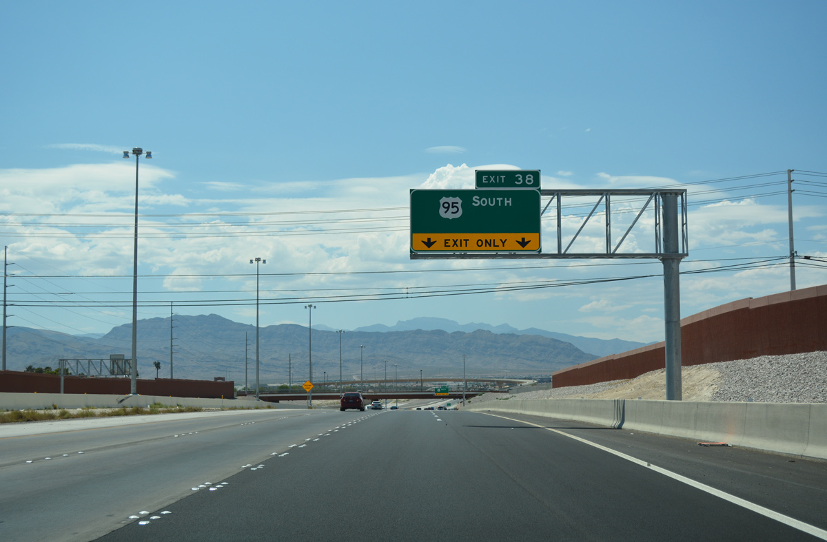
| The easternmost freeway portion of the Bruce Woodbury Beltway ends as traffic prepares to depart for U.S. 95 (Oran K. Gragson Freeway) south. 07/22/17 |
|
| U.S. 95 follows the Oran K. Gragson freeway southeast from the Centennial Bowl interchange (Exit 38) to Downtown Las Vegas and Henderson. 07/22/17 |
|
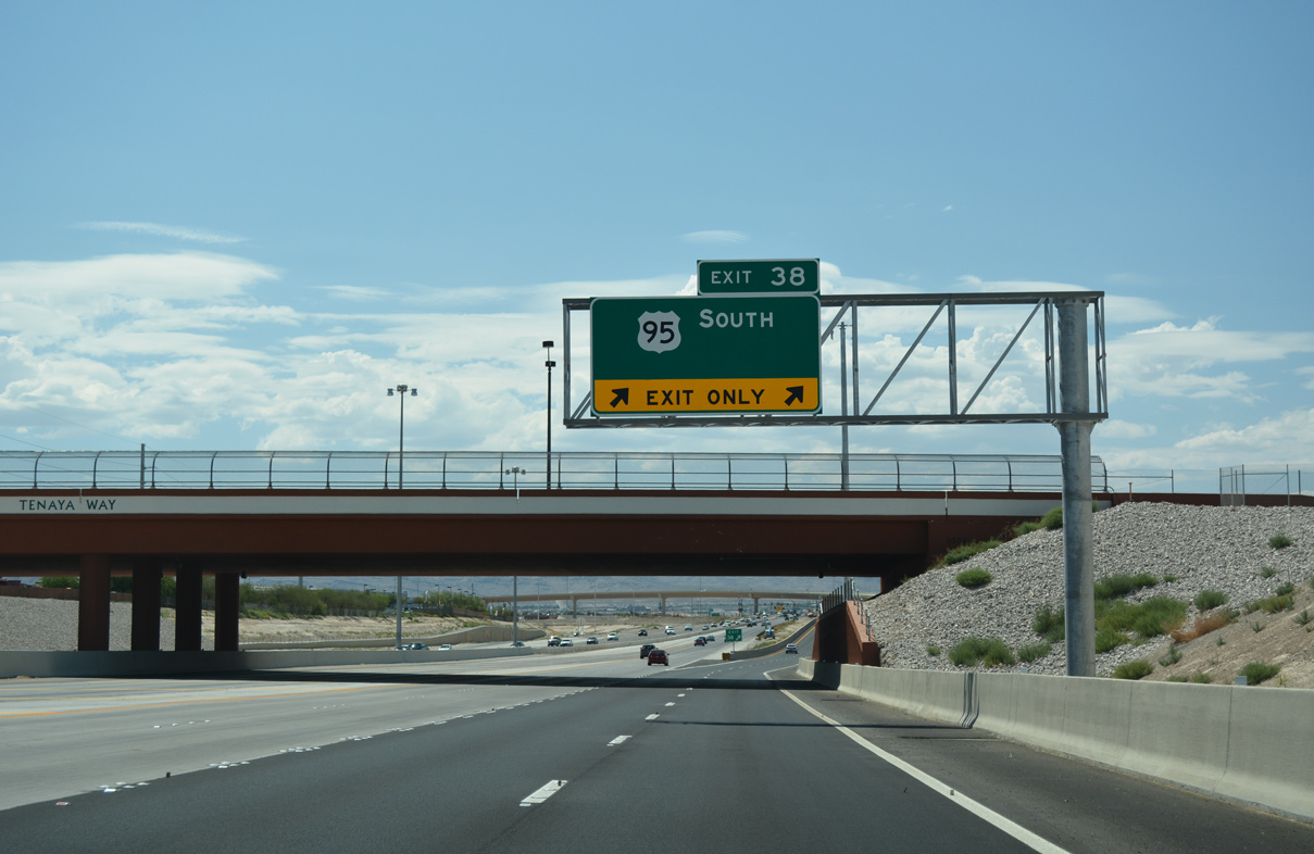
| Tenaya Way spans Clark County 215 (Bruce Woodbury Beltway) as two lanes separate for U.S. 95 south to Downtown Las Vegas. 07/22/17 |
|
| Opened July 12, 2017 at a cost of $47 million, a 2,500 foot flyover ramp shuttles traffic from CC-215 west to U.S. 95 south. The ramp also represents the pinnacle of the exchange between the two freeways rising to 60 feet in height.4
The long ramp also provides direct connections to Ann Road and Rancho Drive (SR 599). 07/22/17 |
|
| Sky Pointe Drive serves as the connection between CC-215 and U.S. 95 north. Phases 3C-D-E will complete the systems exchange, realigning Sky Pointe Drive over the Beltway.5
U.S. 95 north joins CC-215 and Las Vegas with Beatty and Tonopah. 03/04/19 |
|
| The final build-out of the Centennial Bowl interchange will include twin bridges for the CC-215 mainlines over U.S. 95. 03/04/19 |
|
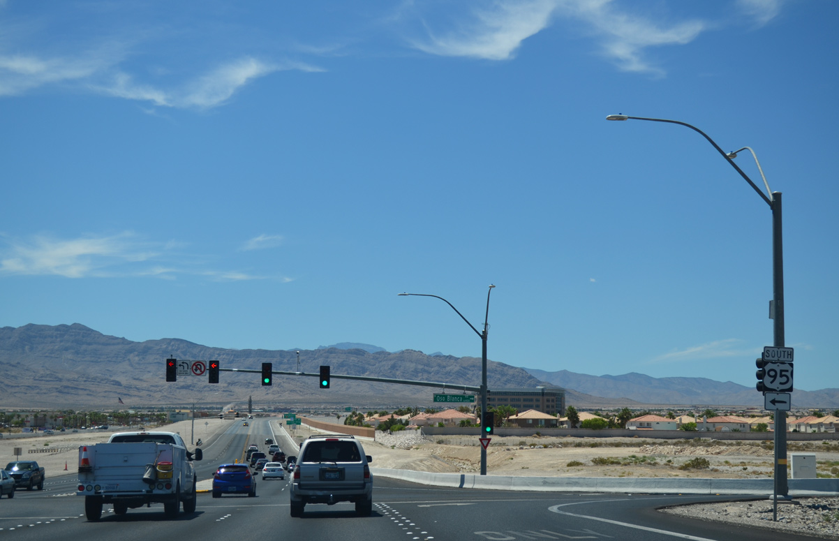
| A second ramp to U.S. 95 south occurs opposite Oso Blanca Road. Oso Blanca Road serves as a frontage road for the U.S. 95 Freeway to SR 157 on the outskirts of the Las Vegas metro area. 03/04/19 |
|
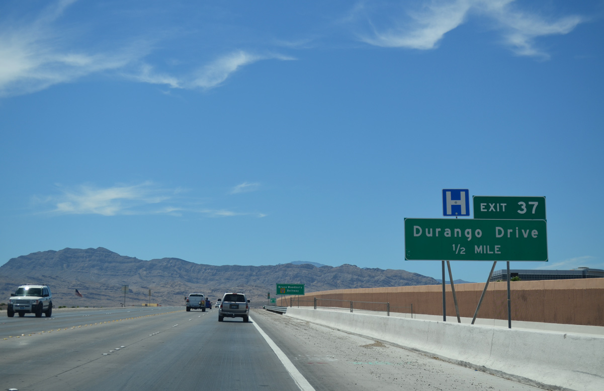
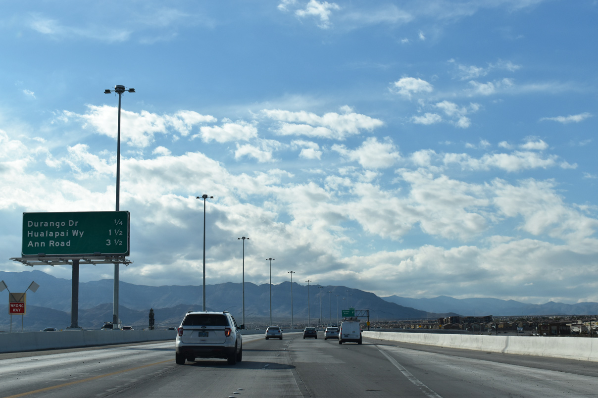
| CC-215 advances west to Durango Drive (Exit 37) and Haulapai Way (Exit 35) next. 03/04/19 |
|
| Durango Drive (Exit 37) joins CC-215 west with the Coral Bay and Canyon Creek North neighborhoods of Las Vegas in one-half mile. 07/21/14 |
|
| The Bruce Woodbury Beltway rises over Grand Montecito Parkway ahead of Durango Drive. 03/04/19 |
|
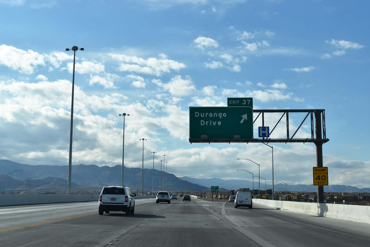
| Traffic leaves for the diamond interchange (Exit 37) with Durango Road. Durango Road extends south into residential neighborhoods and Summerlin, and north to U.S. 95. 03/04/19 |
|
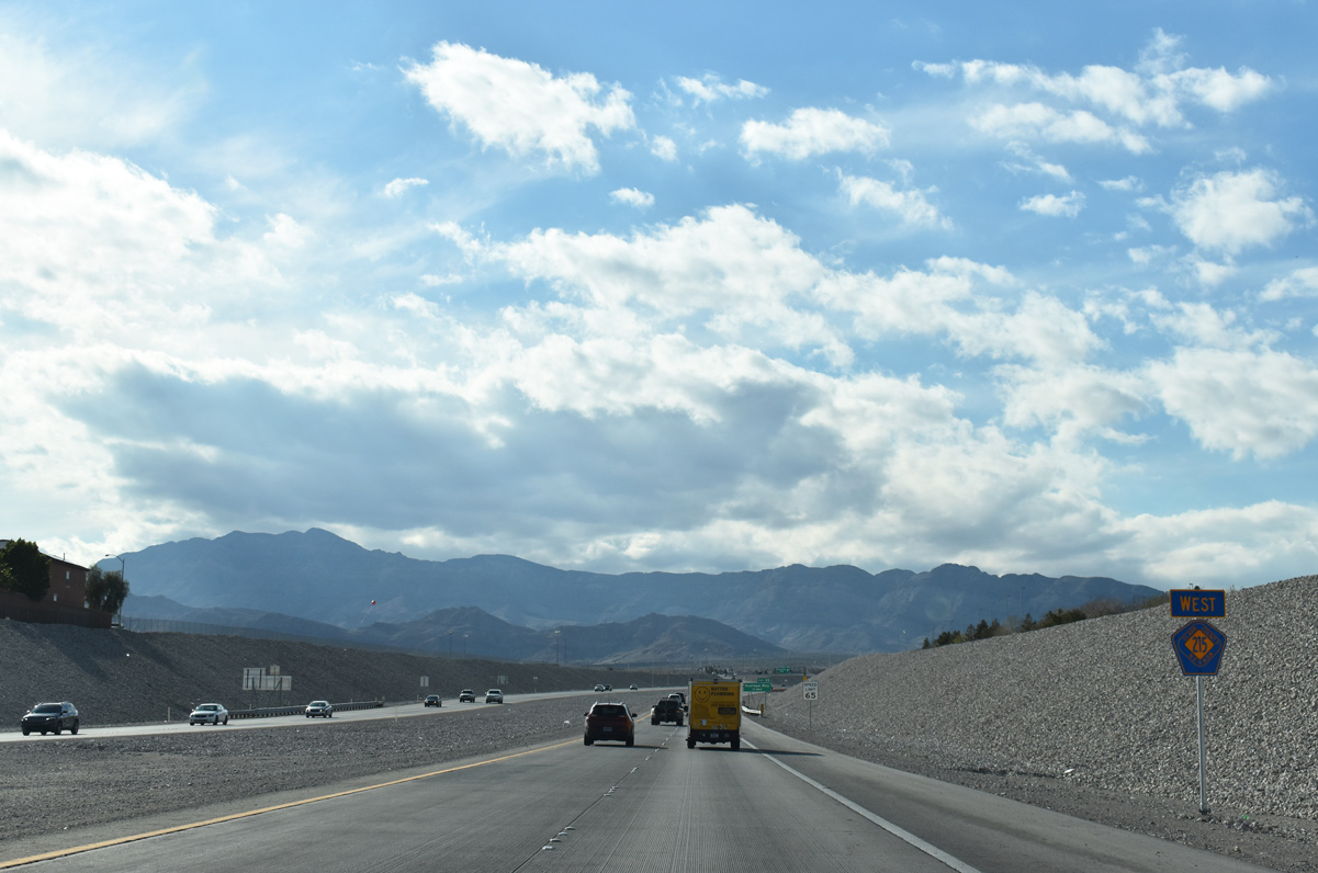
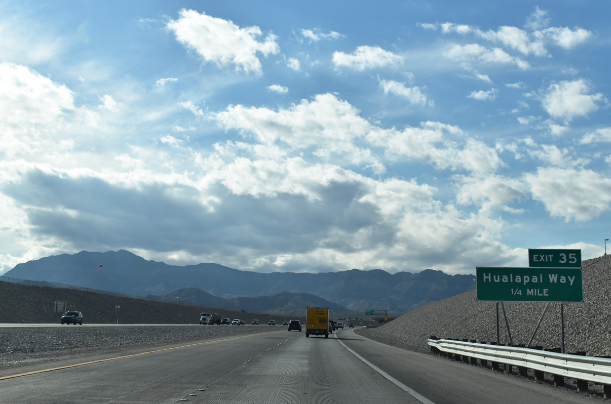
| CC-215 west passes underneath Fort Apache Road ahead of this confirming marker. Hualapai Way (Exit 35) is next. 03/04/19 |
|
| Hualapai Way stems north from Centennial Parkway to meet CC-215 west at a diamond interchange (Exit 35) in 0.25 miles. 03/04/19 |
|
| Hualapai Way continues north from the beltway to Skye Canyon Park Drive near the Skye Canyon neighborhood. 03/04/19 |
|
| Centennial Parkway spans CC-215 as it makes its southerly turn. Cheyenne Avenue (Exit 30) joins the Bruce Woodbury Beltway with Summerlin in four miles. 03/04/19 |
|
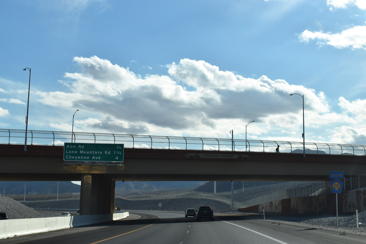
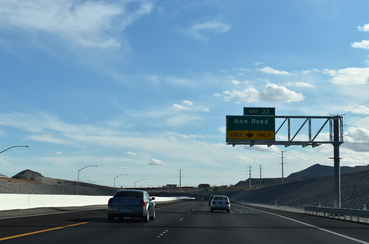
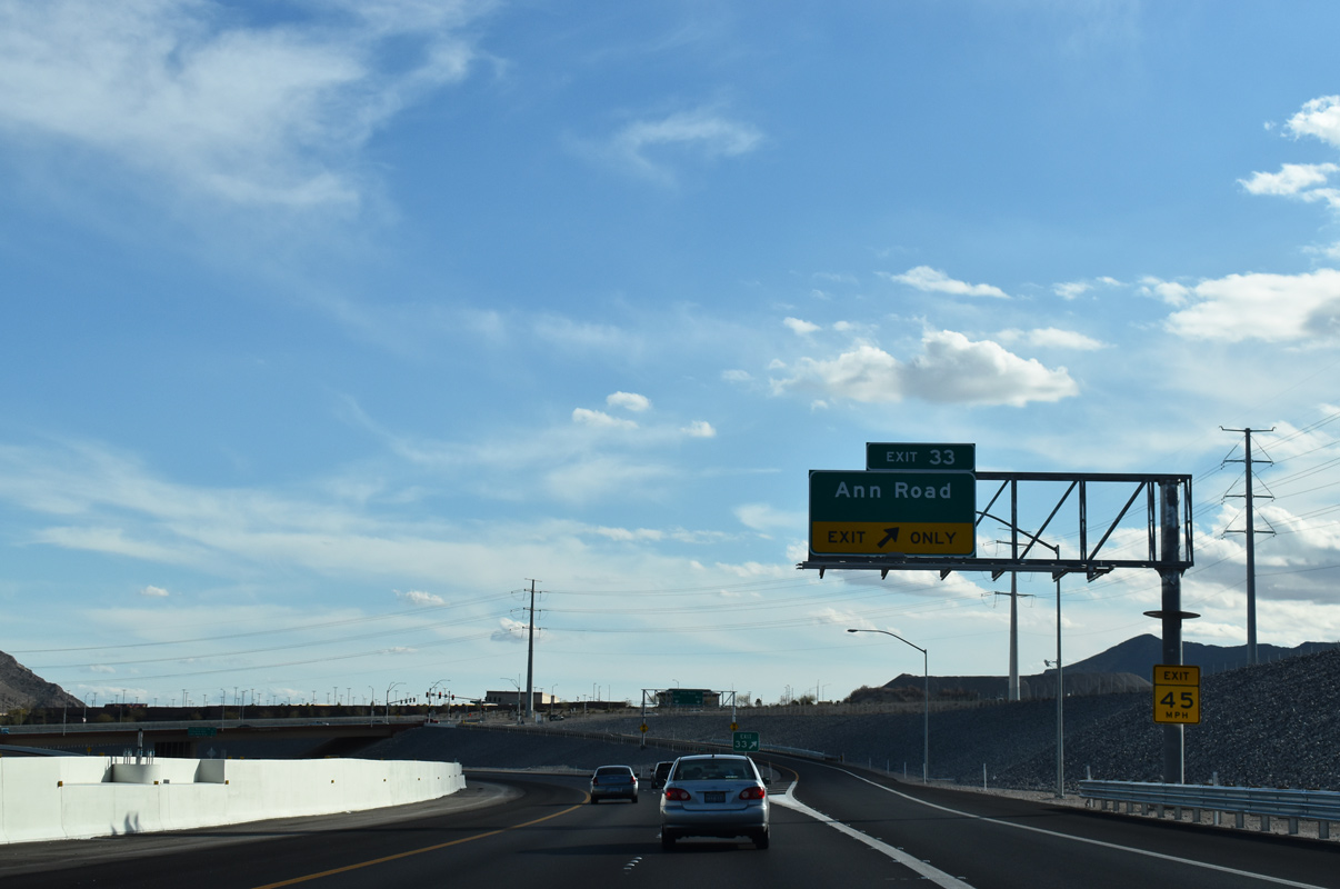
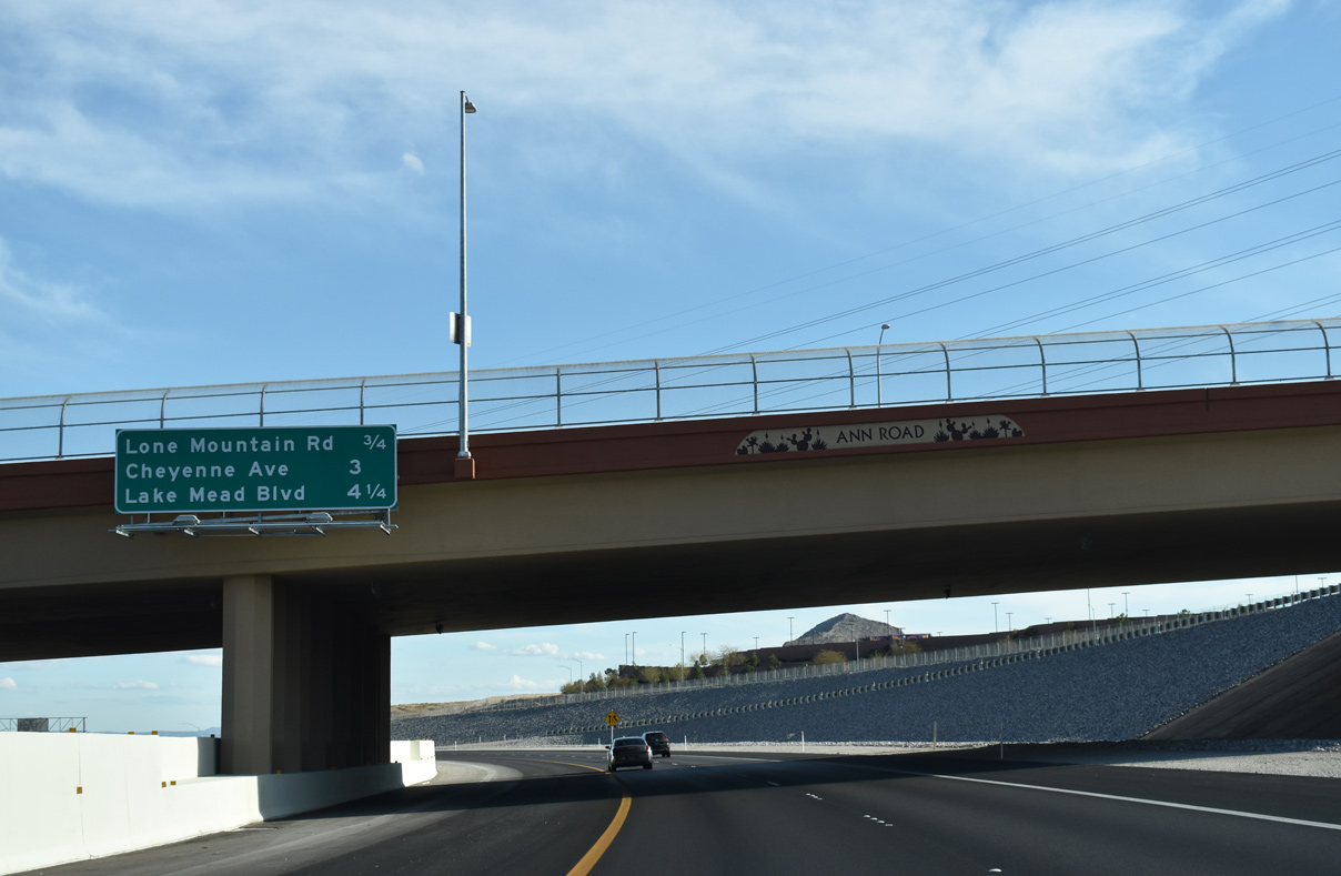
| Ann Road branches east from CC-215 ahead at a diamond interchange (Exit 33). This section of CC-215 was upgraded by Summer 2018 at a cost of $92.4 million, and included a minor shift of the beltway in addition to interchanges at Ann and Lone Mountain Roads.6 03/04/19 |
|
| CC-215 south kinks southeast into a series of S-curves as a ramp leaves for Ann Road (Exit 33). The arterial ends opposite of Tropical Parkway in North Las Vegas. 03/04/19 |
|
| The Bruce Woodbury Beltway travels under Ann Road (Exit 33) three quarters of a mile ahead of Lone Mountain Road (Exit 32). 03/04/19 |
|
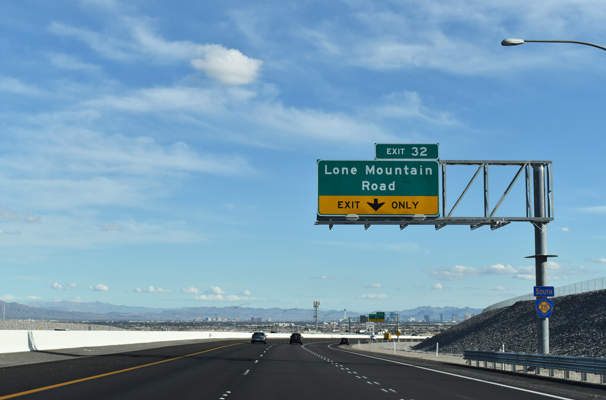
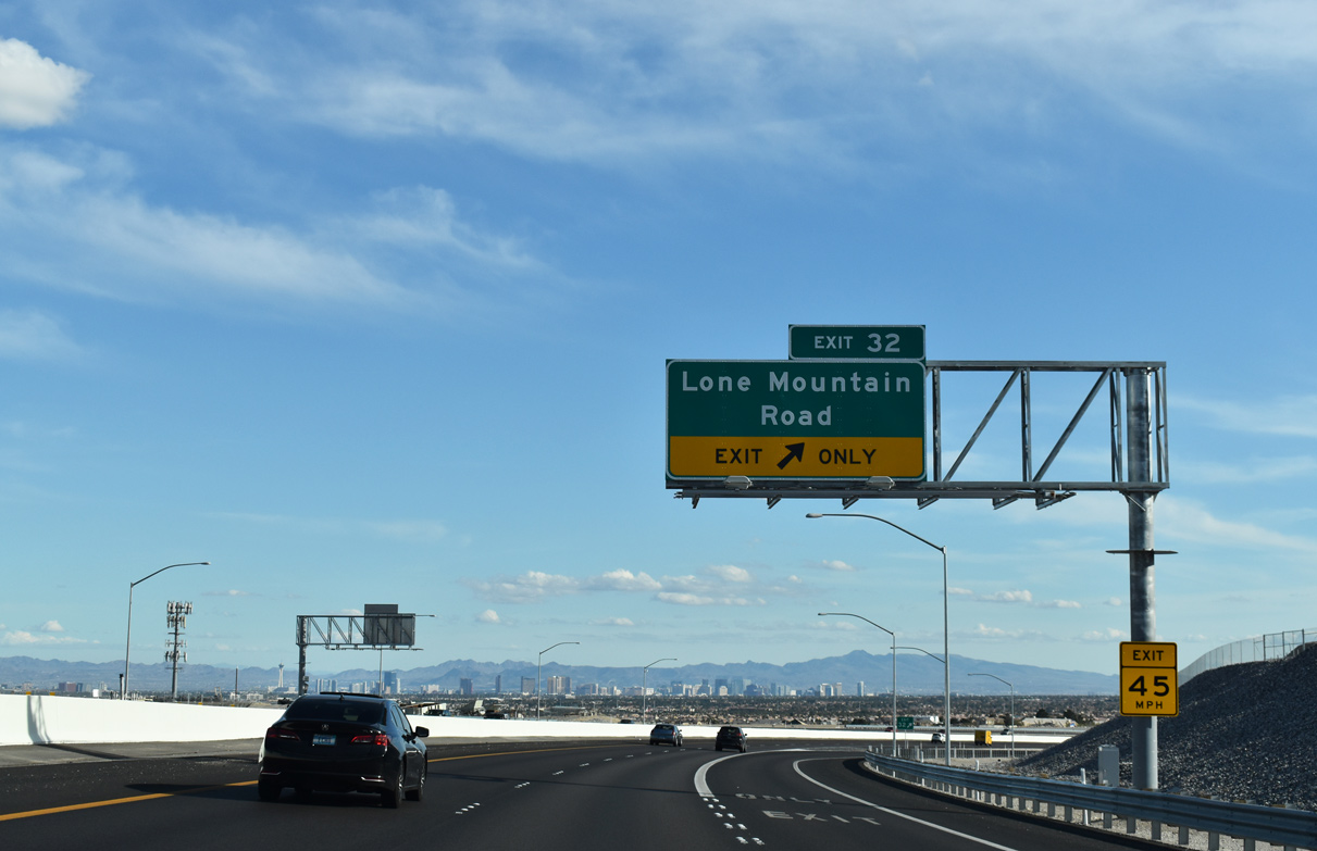
| CC-215 south gains an auxiliary lane between Exit 33 and upcoming Exit 32 to Lone Mountain Road. Lone Mountain Road joins CC-215 with western neighborhoods of Las Vegas. 03/04/19 |
|
| The Las Vegas Strip comes into view at the off-ramp to Lone Mountain Road (Exit 32). Lone Mountain (elevation 3,347 feet) rises to the southeast of the diamond interchange near Lone Mountain Regional Park. 03/04/19 |
|
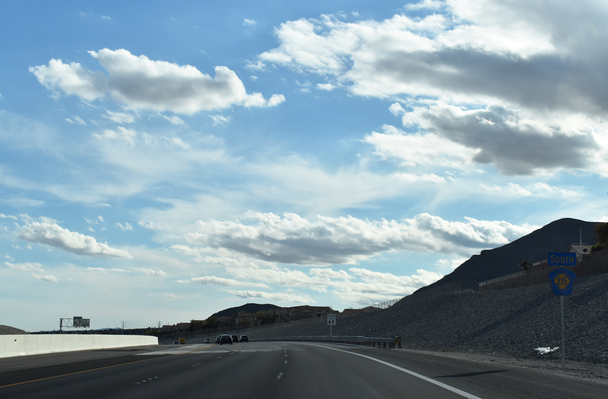
| CC-215 shifts to the west of Lone Mountain two miles ahead of Cheyenne Avenue (Exit 30). 03/04/19 |
|
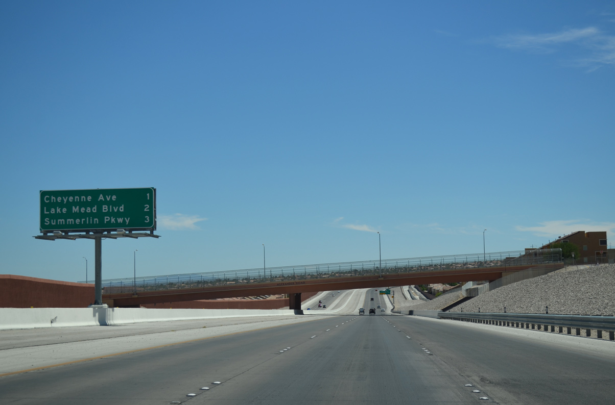
| Exit 30 (Cheyenne Avenue) represents the first of seven interchanges for Summerlin, a master planned community encompassing over 22,500 acres of the west central Las Vegas region.
07/21/14 |
|
| CC-215 south expands to four travel lanes beyond the Alexander Road over crossing.
Cheyenne Avenue (Exit 30) stretches across the Las Vegas region with a state maintained section (SR 574) between U.S. 95 and SR 612 (Nellis Boulevard). 07/21/14 |
|
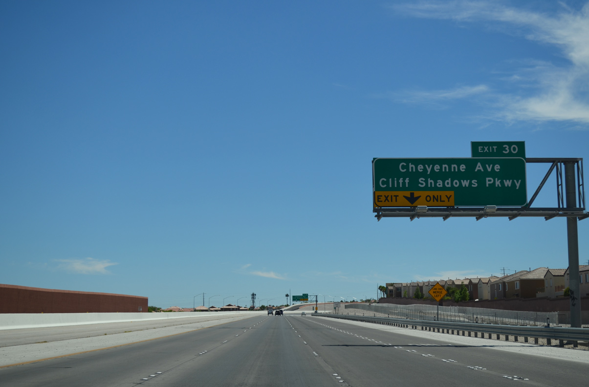
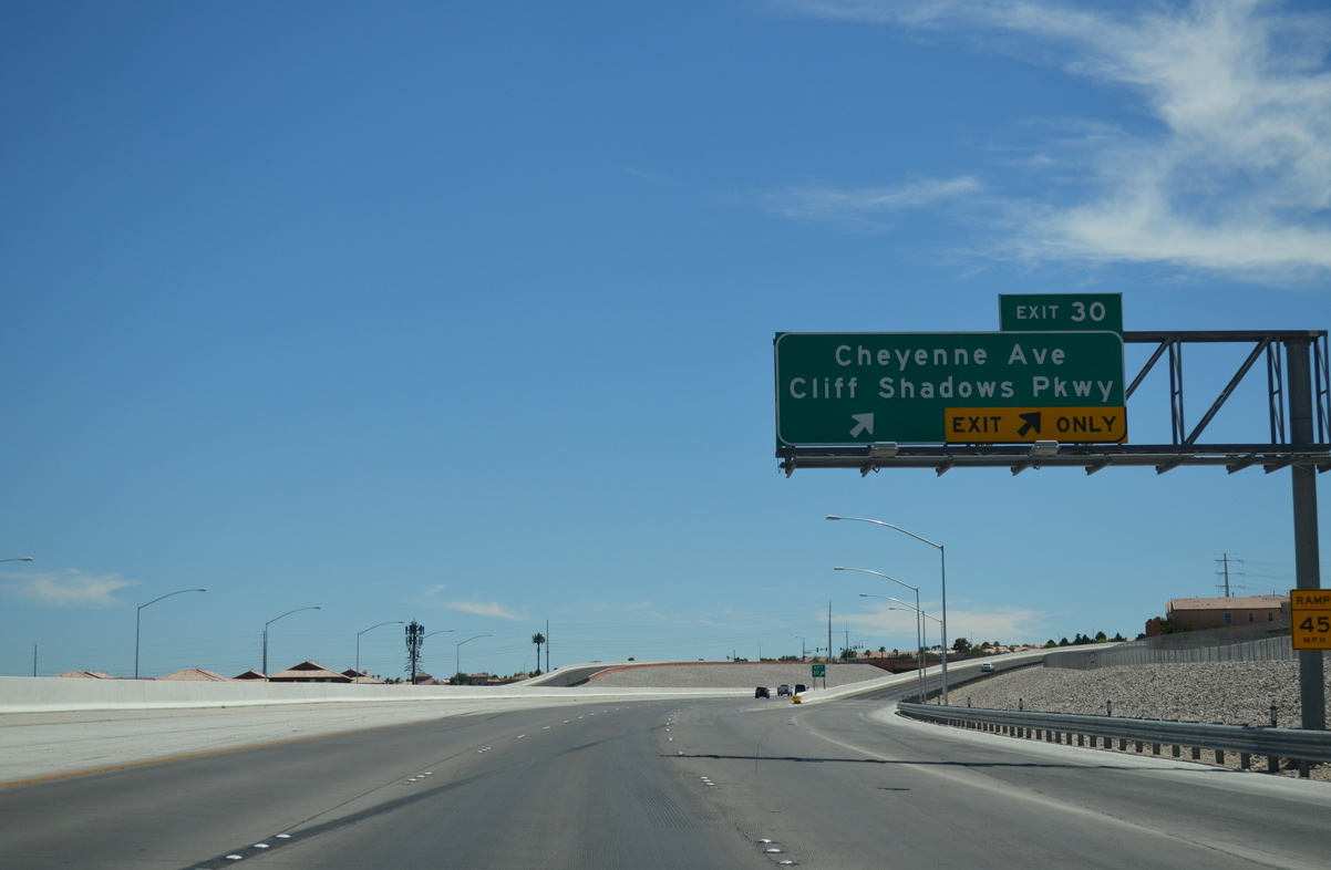
| Cheyenne Avenue and Cliff Shadows Parkway join CC-215 at a diamond interchange (Exit 30). Cliff Shadows Parkway extends north to Lone Mountain Road while Cheyenne Avenue spokes east along a six lane arterial adjacent to Sun City Summerlin. 07/21/14 |
|
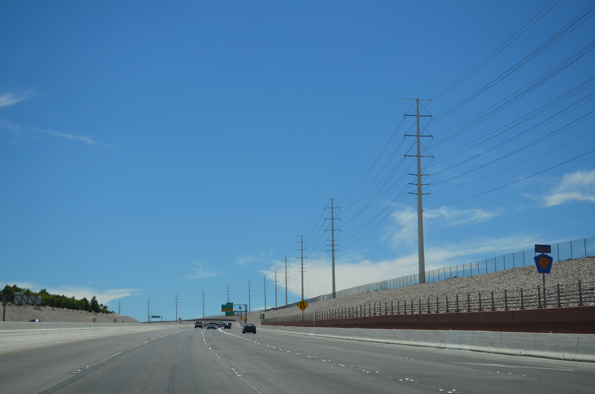
| Motorists advance south along CC-215 between the Reverence and Sun City subdivisions to Lake Mead Boulevard (Exit 29) next. 07/21/14 |
|
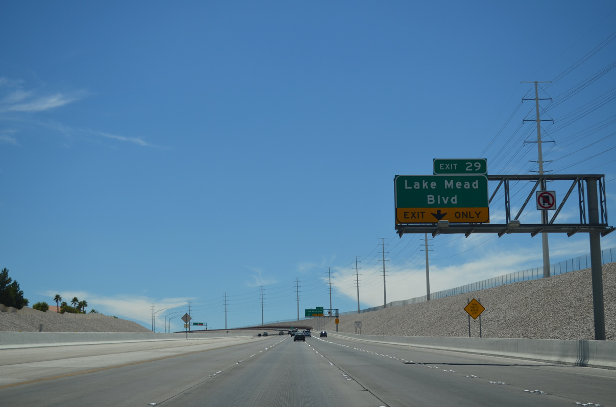
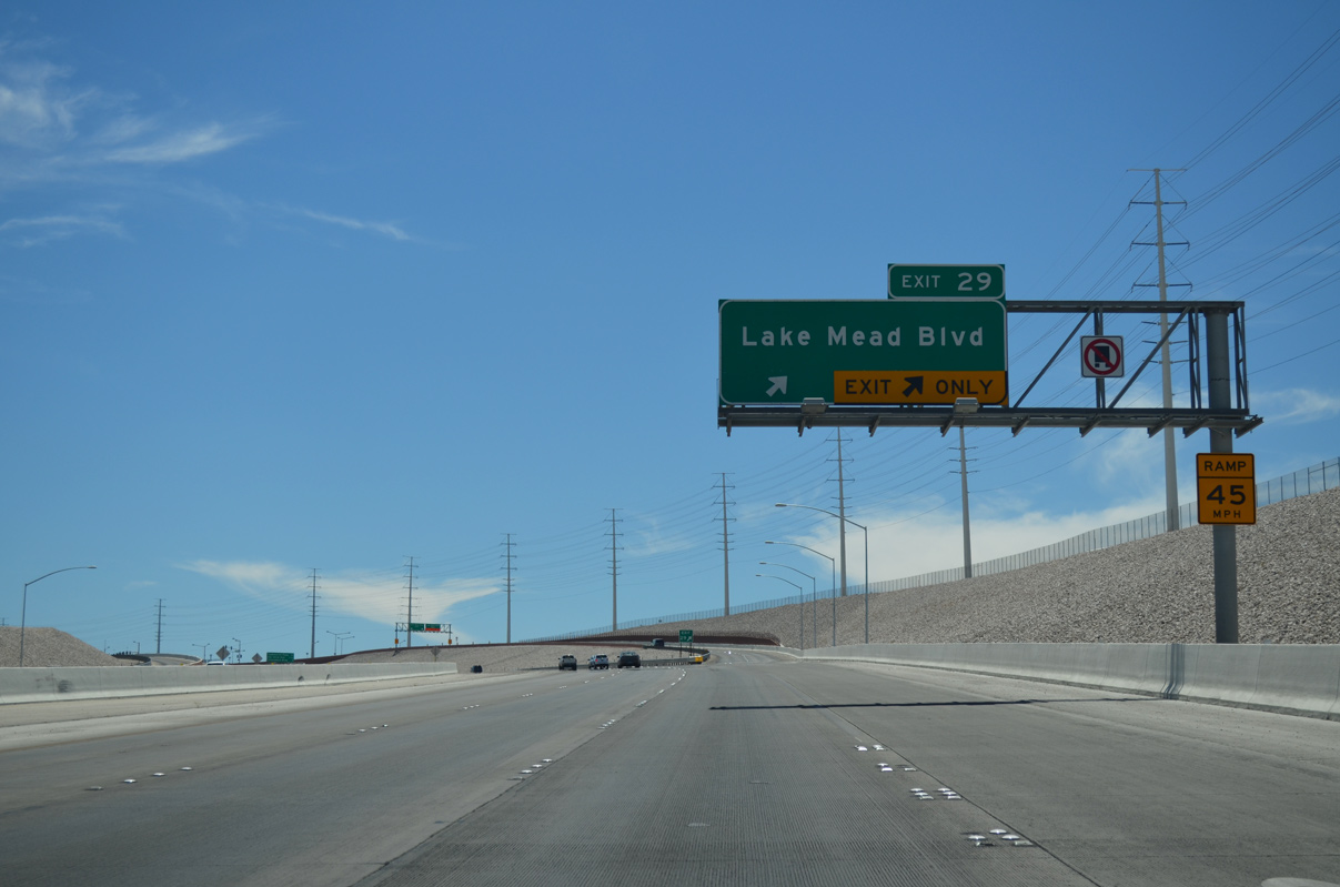
| The Bruce Woodbury Beltway ascends 300 feet in elevation ahead of Lake Mead Boulevard (Exit 29). Lake Mead Boulevard travels a 28.6 mile path through Las Vegas to the Lake Mead National Recreation Area near the Colorado River and Lake Mead. 07/21/14 |
|
| The freeway turns south as two lanes ramp depart for the single point urban interchange. Lake Mead Boulevard initially winds eastward through Summerlin neighborhoods before emerging along a commercial corridor ahead of U.S. 95. 07/21/14 |
|
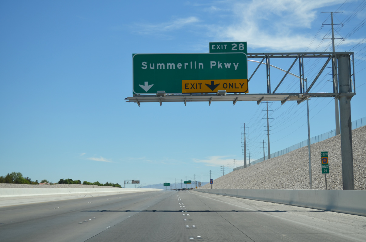
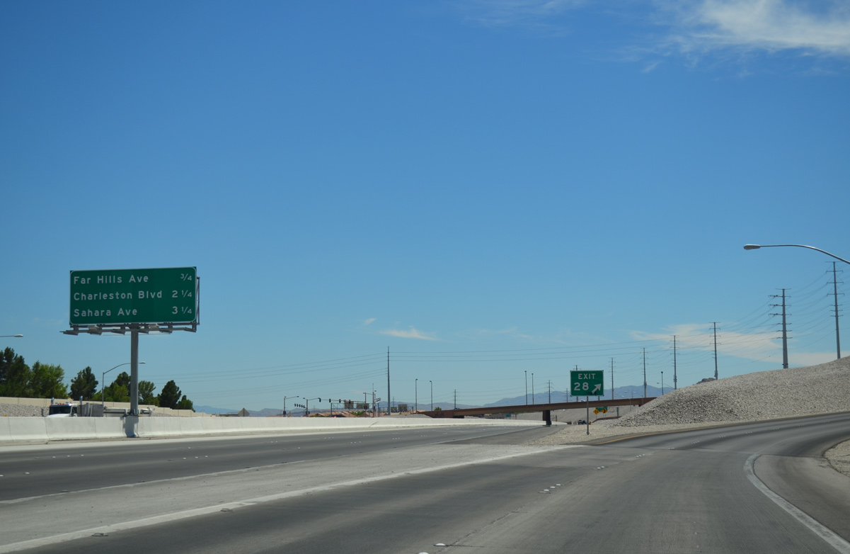
| A 0.75 mile drive separates motorists from Summerlin Parkway (Exit 28) along CC-215 south.
Charleston Boulevard (SR 159) will join CC-215 with Red Rock Canyon National Conservation Area three miles ahead. 07/21/14 |
|
| A parclo interchange joins the Las Vegas Beltway with Summerlin Parkway in quick succession following Lake Mead Boulevard (Exit 29). Summerlin Parkway travels through central Summerlin on a 6.3 mile course joining CC-215 with U.S. 95 to Downtown Las Vegas. 07/21/14 |
|
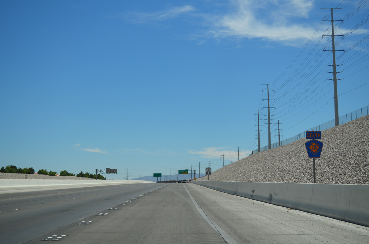
| Speeds remain at 65 mph for the duration of the Bruce Woodbury Beltway (Clark County 215) to Henderson. 07/21/14 |
|
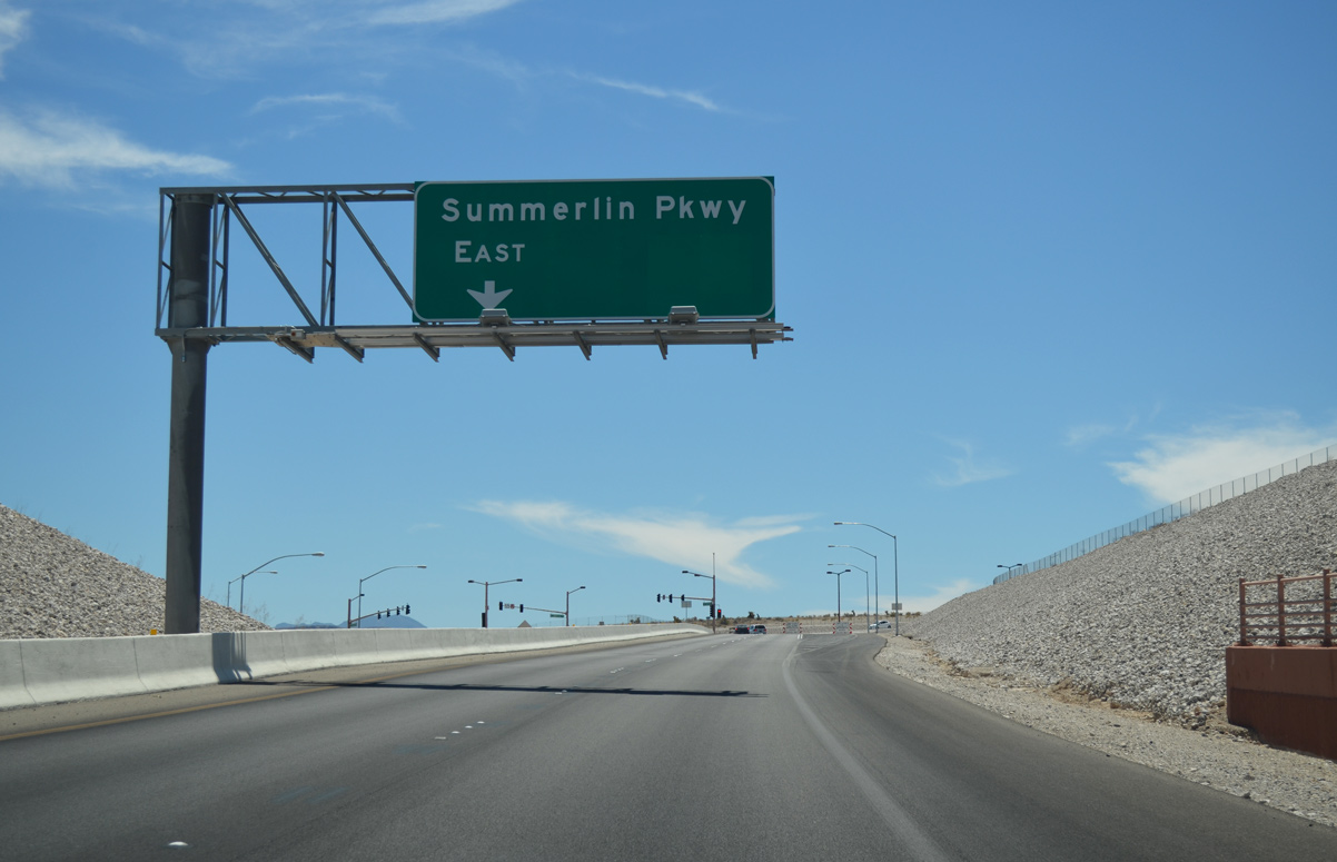
| Clark County Route 215 south reaches the egress point for Summerlin Parkway (Exit 28). Summerlin Parkway was constructed in phases with the first section of limited access freeway opened by 1990.7
Far Hills Avenue otherwise follows in 0.75 miles. 07/21/14 |
|
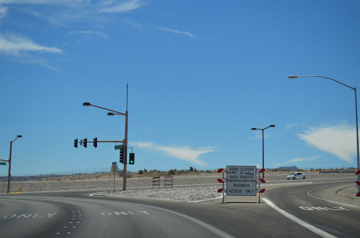
| Summerlin Parkway east travels at-grade through Exit 28 before converting to a freeway for its remaining portion to U.S. 95 at Rainbow Boulevard.
Stubs are in place for an eventual westward extension to undeveloped lands within the Summerlin community. 07/21/14 |
Page Updated 05-17-2020.