U.S. 40 begins its cross country journey at its junction with Interstate 80 at Silver Creek Junction. U.S. 40 runs concurrent with U.S. 189 from Silver Creek Junction and extends southeast past Park City to Heber City as a freeway. At Heber City, the two U.S. highways diverge, with U.S. 189 continuing southwest to Provo and U.S. 40 continuing southeast past Strawberry Reservoir to Duchesne. U.S. 40 sees a shared alignment with U.S. 191 between Duchesne and Vernal. East of Vernal, U.S. 40 proceeds east past Jensen toward Dinosaur National Monument and the Utah-Colorado state line.
U.S. 40 Utah Guides
U.S. 40 used to extend from San Francisco, California, east to Atlantic City, New Jersey. With the elimination of multiple U.S. routes in California 1964, U.S. 40 was gradually retracted to Silver Creek Junction in phases, with the last segment of U.S. 40 west of Silver Creek Junction eliminated on June 17, 1975, by approval of AASHTO.1 U.S. 40 was largely decommissioned in favor of Interstate 80, which also begins in San Francisco and extends east to Sacramento, Reno, Elko, Salt Lake City, and Silver Creek Junction.
Alternate U.S. 40 through Salt Lake City along Utah 186 was also eliminated in 1975 (at the same time the main highway was decommissioned). The route ran along the former U.S. 40 alignment when the U.S. 40 mainline shifted to an overlap with Interstate 80 between Utah 68 (Redwood Road) and Parleys Canyon. The bannered route followed Temple Street east to 300 West to 400 South and the current route of Utah 168 back to I-80 and 215.
Construction of Jordanelle Dam along the Provo River submerged the junction of U.S. 40 and Utah 32 (old U.S. 189) at Hailstone, and several miles of each route. A new limited access alignment for U.S. 40 (and hidden U.S. 189) was constructed along the eastern slope of the Wasatch Range above the new Jordanelle Reservoir. The freeway north to Keetley Junction was completed in 1990.2
An $11.2 million, year long project started in October 1992, extended the U.S. 40 freeway another three miles north from Park City Junction to Interstate 80 at Silver Creek Junction. The two lane roadway was expanded to a four-lane concrete freeway with an interchange added at Silver Summit.2 This freeway improved access to the Park City ski resort areas, which was a primary venue for the 2002 Winter Olympic Games.
The last of the improvements made necessary when Utah won its bid to host the 2002 Winter Olympic Games was the $27 million upgrade of the interchange between U.S. 40 and Interstate 80 at Silver Creek Junction. Work through summer 2001 replaced a parclo interchange with the combination of a single point urban interchange (SPUI) and high speed ramps linking I-80 and U.S. 40 east and U.S. 40 and I-80 west.3 Further south, U.S. 40 was also widened from two to five lanes along a three mile stretch north of Heber City. Complete by fall 2000, the $7 million expansion accommodated traffic for Soldier Hollow, site of the cross country and Olympic biathlon.
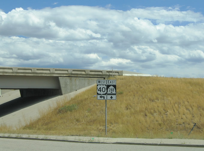
The U.S. 40 freeway carries its own exit numbers based on U.S. 40 mileage increasing from west to east. The old alignment of U.S. 40 through Park City was renumbered Utah 248.
|
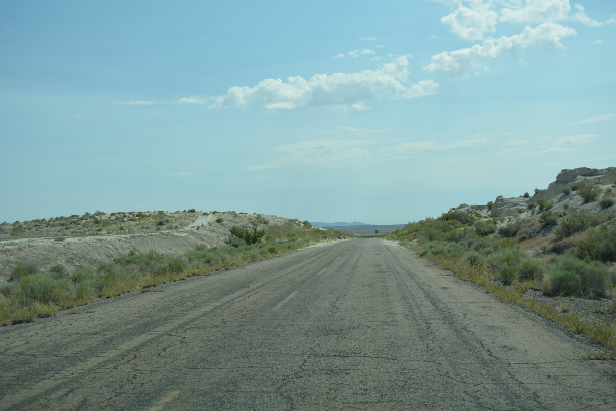
| Old Highway 40 crosses over a hill to the east of Knolls. The original alignment shifted northward around the rise, but was displaced with the construction of Interstate 80. 07/03/16 |
|
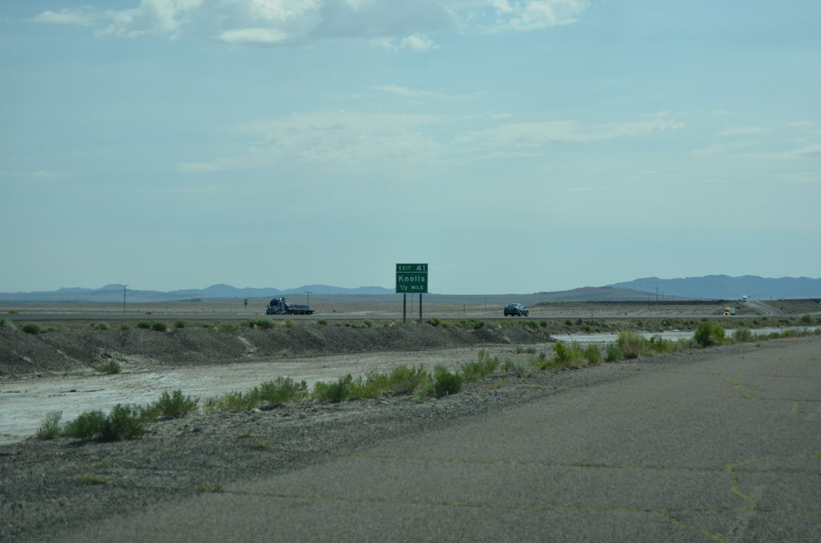
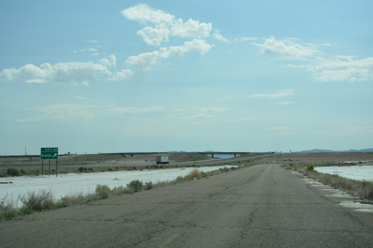
| A diamond interchange (Exit 41) joins Interstate 80 with Old Highway 40 as it shifts from the south to the north side of the freeway. 07/03/16 |
|
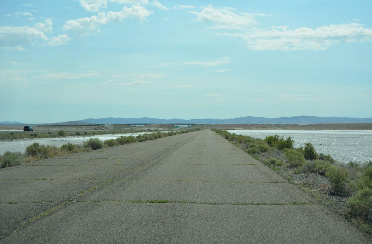
| Old Highway 40 and I-80 leave the Great Salt Lake Desert east of their meeting at Knolls. 07/03/16 |
|
| The old roadway hooks south to cross over I-80 at a 90 degree angle. Former U.S. 40 runs along the north side of Interstate 80 from here east to the Aragonite interchange (Exit 56). 07/03/16 |
|
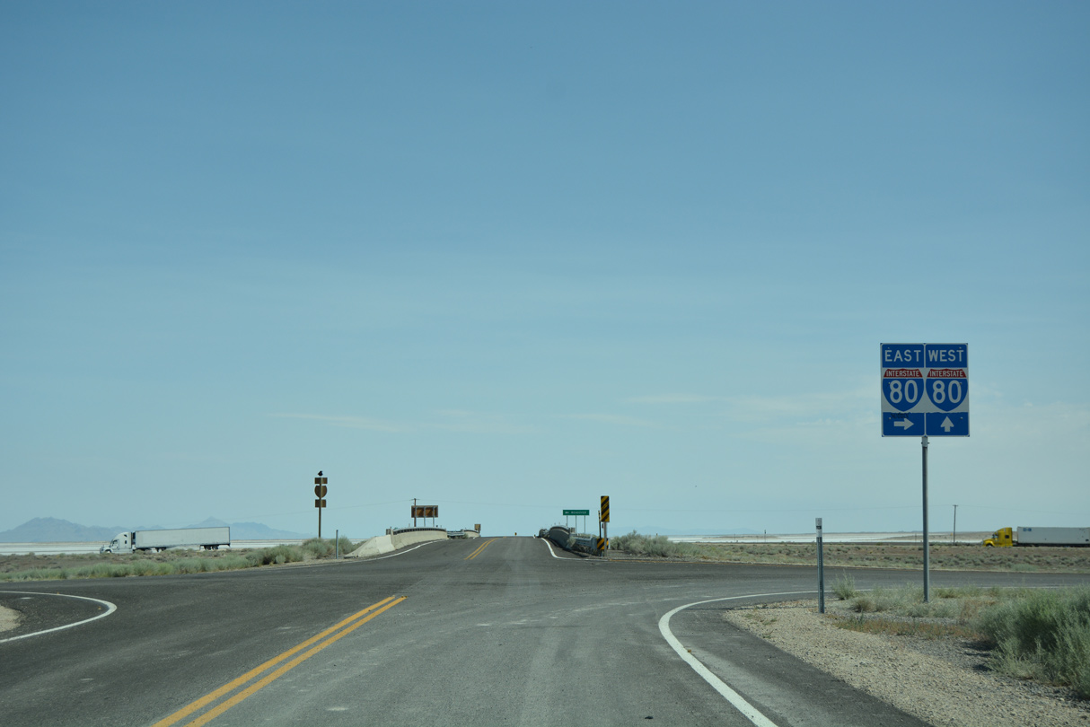
| A unisign directs motorists onto the respective ramps for Interstate 80 from Old Highway 40 east. 07/03/16 |
|
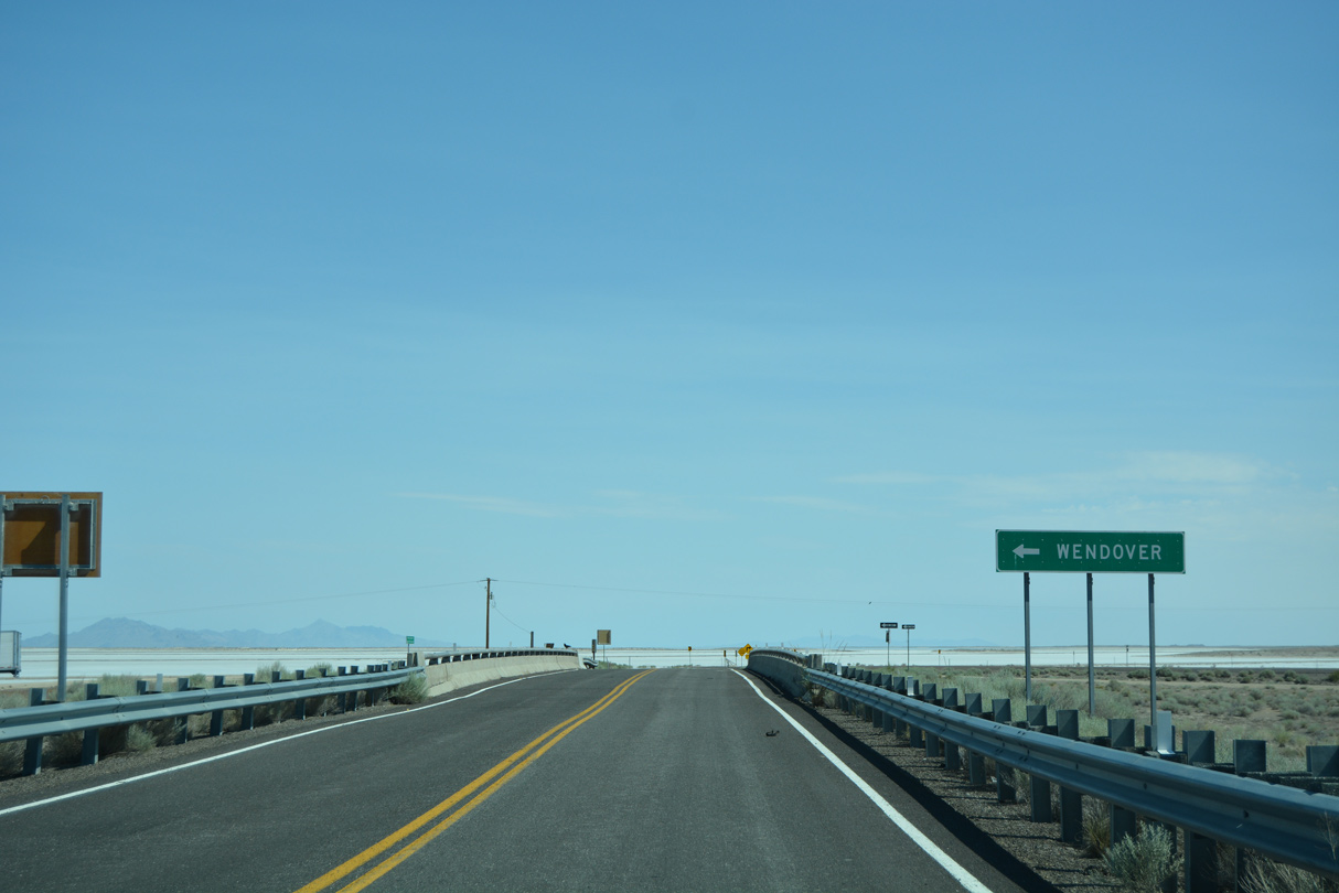
| Wendover is the next city along Interstate 80, located 40 miles to the west at the Nevada state line. 07/03/16 |
|
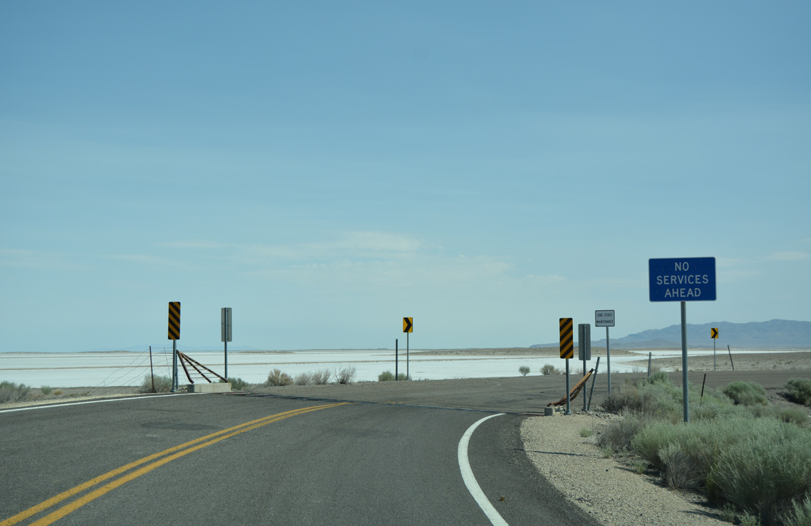
| Old Highway 40 transitions to the north side I-80 Frontage Road beyond a cattle guard. No services are available east until Delle (Exit 70 of I-80). 07/03/16 |
|
| The I-80 Frontage Road lining the north side of Interstate 80 between the Aragonite and Knolls interchanges represents the historic route of U.S. 40. Construction of the freeway north of Knolls overtook the original alignment due to the area terrain. The old route shifts south across I-80 to run south of the freeway otherwise from here to Wendover. 07/03/16 |
|
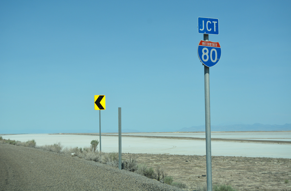
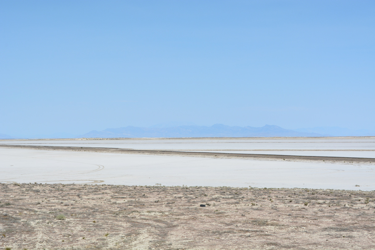
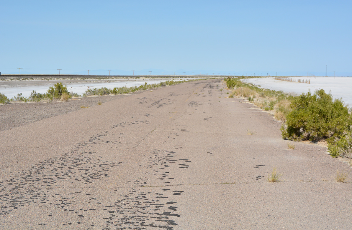
| Interstate 80 and old U.S. 40 enter the expanse of the Great Salt Lake Desert from Knolls west to the Nevada state line. The salt flats afford unobstructed views of distance mountain chains, including the Silver Island range far to the northwest. 07/03/16 |
|
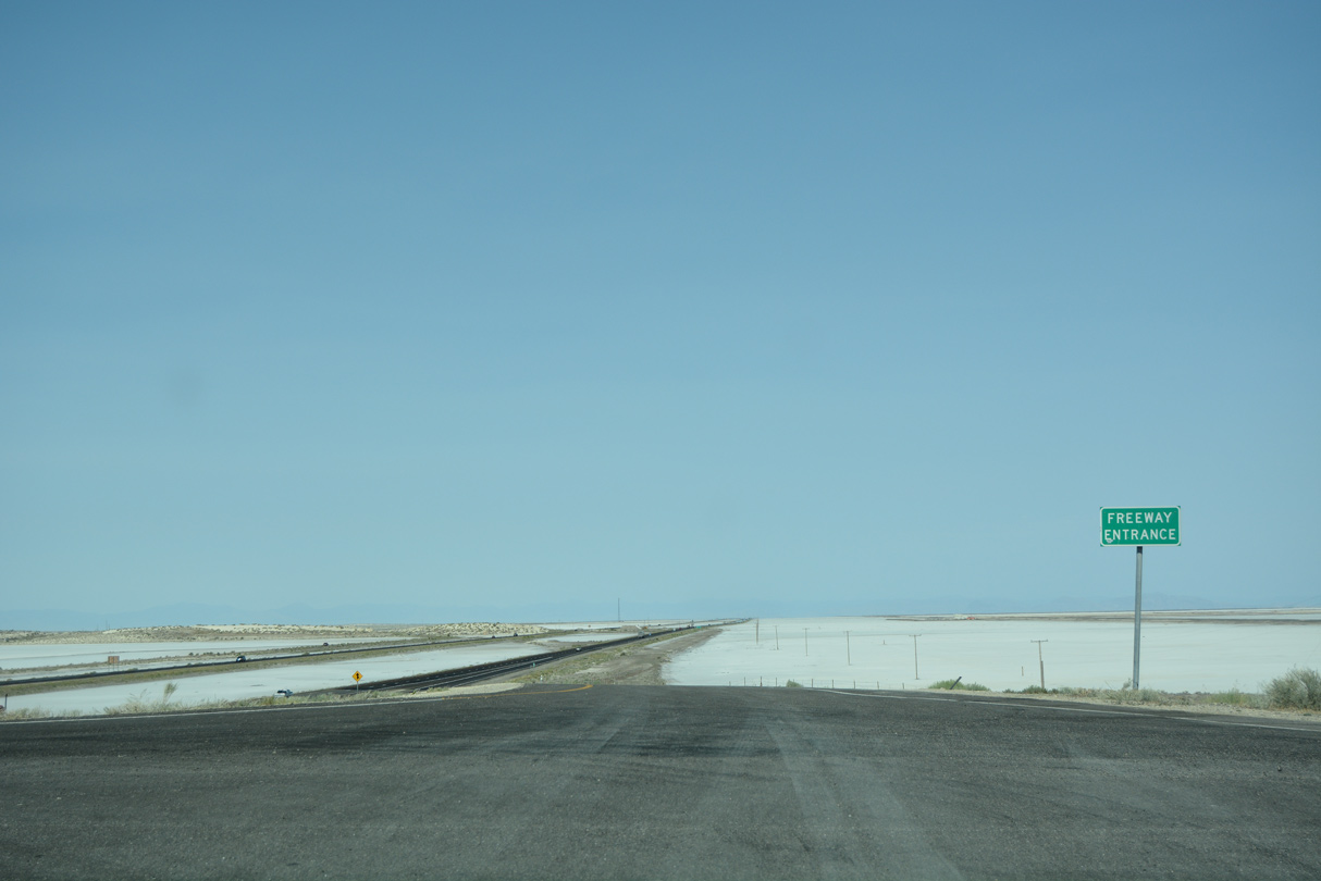
| A freeway entrance sign stands at the westbound on-ramp to Interstate 80 from Knolls. The freeway bee lines west for 37 miles to the subsequent exit. 07/03/16 |
|
| Interstate 80 east leads back through remote areas of Ripple Valley and the Cedar Mountains 30 miles to Delle, where the first motorists services are available. 07/03/16 |
|
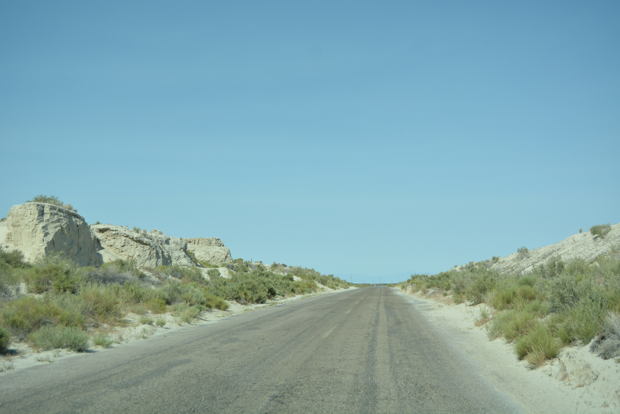
| Signs advise travelers that Old Highway 40 is not maintained and to use at their own risk. The roadway cuts across a hill to rejoin the original alignment at Knolls. 07/03/16 |
|
| Center striping appears barely visible as Old Highway 40 nears the turn off for an ATV and off-roading area. 07/03/16 |
|
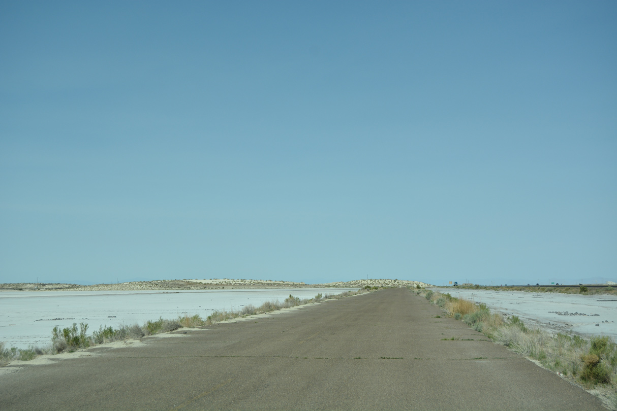
| West from Knolls, Old Highway 40 runs directly alongside a Union Pacific Railroad line across the Great Salt Lake Desert to Blair. 07/03/16 |
|
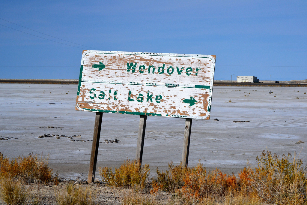
| This worn, wooden, button-copy sign was located on Old Highway 40 west of the Knolls interchange (Exit 41) near an access road to an ATV area. It is likely that the arrow that pointed east for Wendover previously pointed westward, perhaps before the Interstate 80 freeway was completed. 10/28/11, 07/03/16 |
|
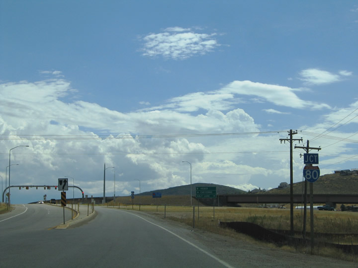
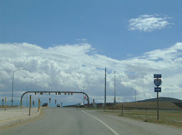
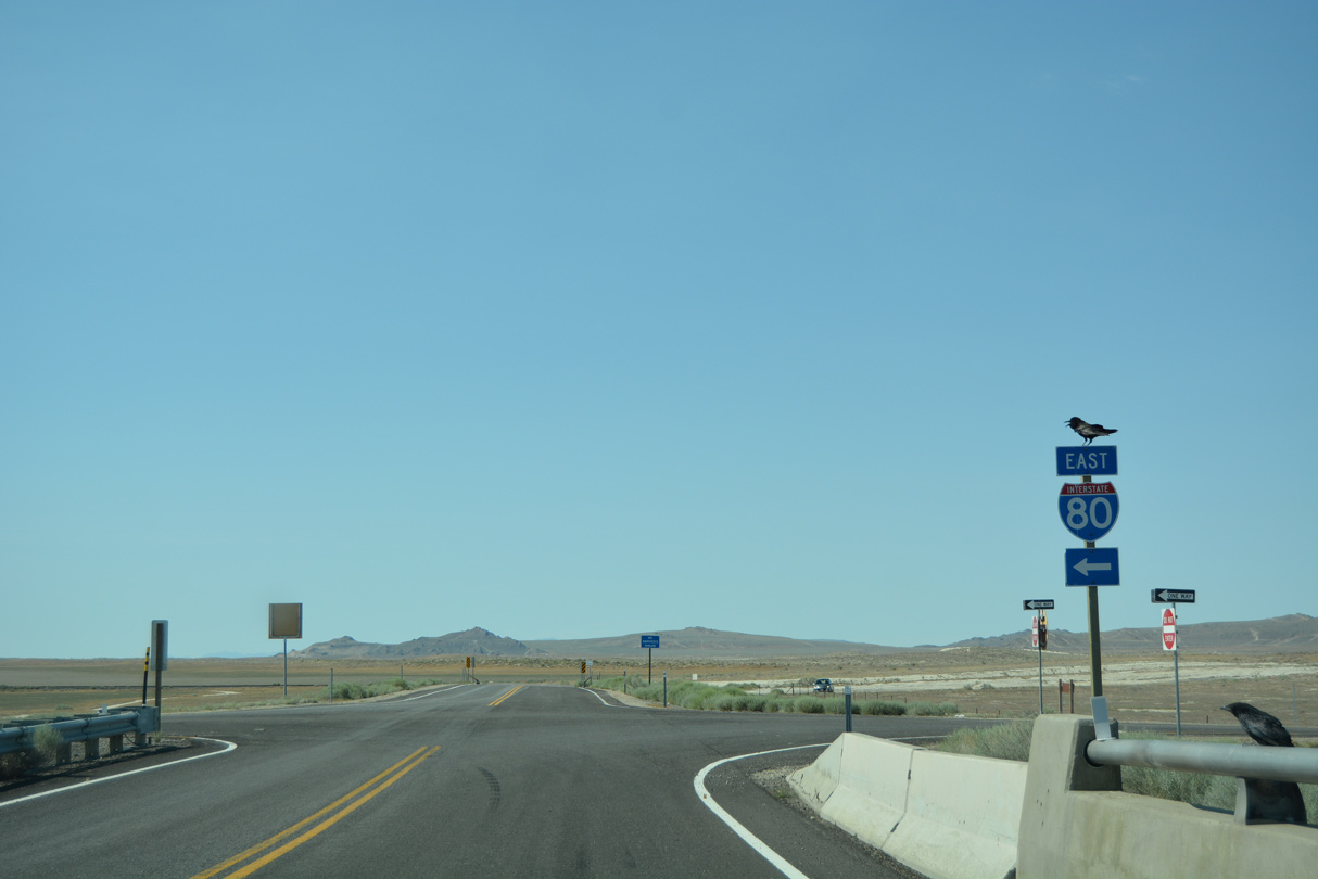
| Junction Interstate 80 shield posted north of the SPUI (Exit 146) on Silver Creek Road south. The residential roadway travels through Silver Creek Junction and directly ties into the U.S. 40 & U.S. 189 freeway. 09/08/05 |
|
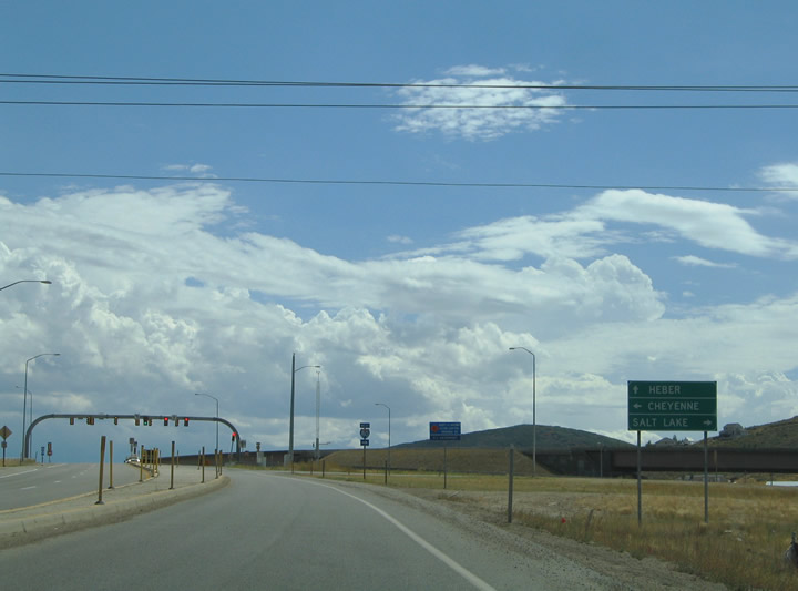
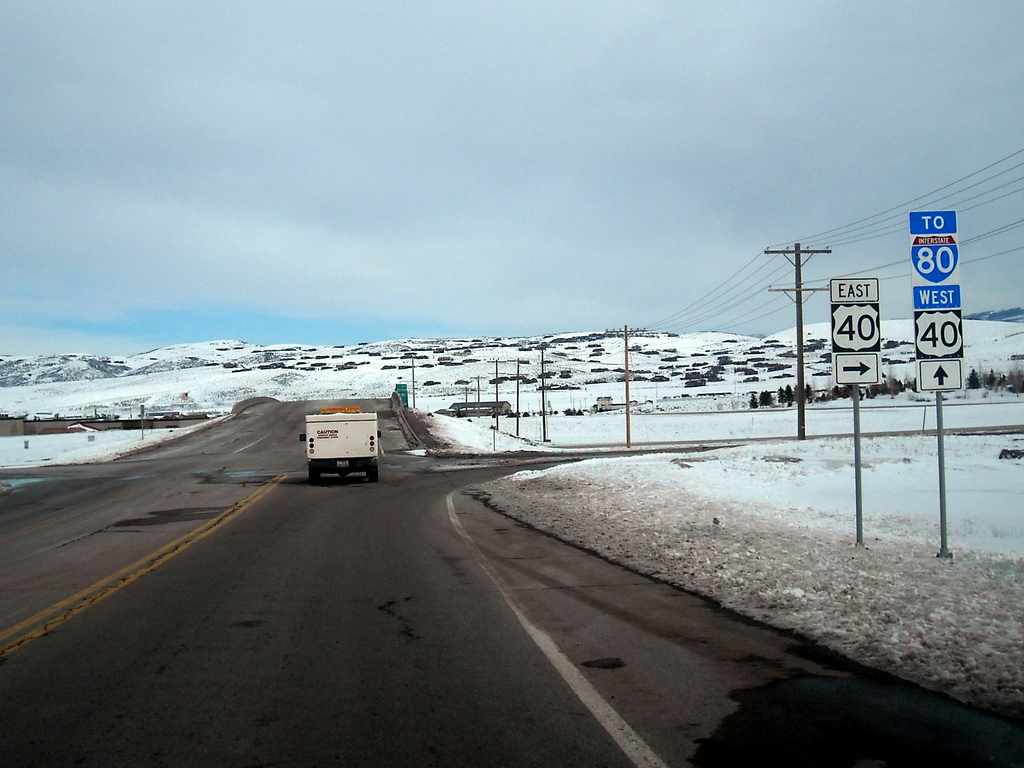
| A small guide sign directs drivers onto the three respective ramps from Silver Creek Road south: I-80 west to Salt Lake City, U.S. 40 east & U.S. 189 south to Heber City, and I-80 east & U.S. 189 north to Evanston, Wyoming. 09/08/05 |
|
| Interstate 80 west shield posted at the ramp to Salt Lake City on Silver Creek Road south. Silver Creek Road transitions into the eastbound beginning of U.S. 40 at the adjacent traffic lights. 09/08/05 |
|
| Entering the diamond interchange with the U.S. 40 & 189 freeway on Silver Summit Parkway east. 02/18/11 |
|
| SR 248 (Kearns Boulevard) travels 3.1 miles east out of Park City to meet U.S. 40 & U.S. 189. The state route was expanded and rebuilt between SR 224 and the freeway in 2000. The $6 million project was one of several funded largely by the federal government for 2002 Winter Olympic Games traffic.3 09/08/05 |
Sources:
- UDOT Highway Resolutions: U.S. Route 40 - reference a letter dated June 18, 1975, from AASHTO to the Utah Department of Highways. A directive was issued on July 7, 1975, by the department to staff advising them to remove all U.S. 40 signs west of Silver Creek Junction. This truncation also eliminated Alternate U.S. 40 in Salt Lake City, which today is mostly designated as Utah 186.
- "11.2 MILLION PROJECT WILL WIDEN 3 MILES..." Salt Lake Tribune, The (UT), October 10, 1992.
- "Summit, Wasatch Road Work Nears End - Silver Creek Junction last of major projects to be completed." Salt Lake Tribune, The (UT), May 24, 2001.
- 09/08/05 by AARoads.
- 02/18/11 by Garrett Smith.
- 10/28/11 by Garrett Smith.
- 07/03/16 by AARoads.
Connect with:
Interstate 80
U.S. 189
U.S. 191
Page Updated 09-15-2016.

 scenes