U.S. 160 travels between U.S. 89, at Cameron, and the Four Corners of Arizona, New Mexico, Colorado, and Utah. The Arizona section of this multi-state highway lies entirely within the Navajo Indian Nation.
Beginning in Cameron, U.S. 160 travels through Tuba City, where it meets Arizona Route 264. The route then meets SR 98 and SR 564, which leads to Navajo National Monument. U.S. 163 connects with U.S. 160 from Monument Valley, and U.S. 191 at Mexican Water. Finally, U.S. 160 meets U.S. 64 at Teec Nos Pos, before turning north to pass the Four Corners Monument and entering New Mexico and Colorado.
Plans were laid in 1956 to construct a modern highway system through the Navajo Nation, due to coal and uranium mining opportunities in the reservation. An agreement was created between the Bureau of Indian Affairs and ADOT for a series of roads to be constructed by BIA. These would be then turned over to ADOT after their construction. Navajo Route 1 was the first, which eventual became the route of U.S. 160.
U.S. 160, from Cameron to Teec Nos Pos, was signed as Arizona State Route 64 between 1961 and 1966. The highway from Teec Nos Pos to Four Corners was designated as Arizona State Route 364 from 1963 through 1966. In 1966, the route was renumbered to U.S. 164, with renumbering to U.S. 160 in 1971.
|
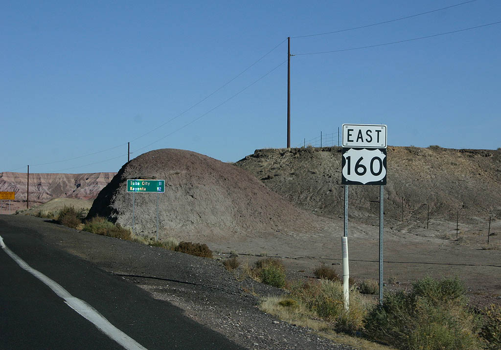
| This is the first reassurance marker along U.S. Highway 160. 10/26/08 |
|
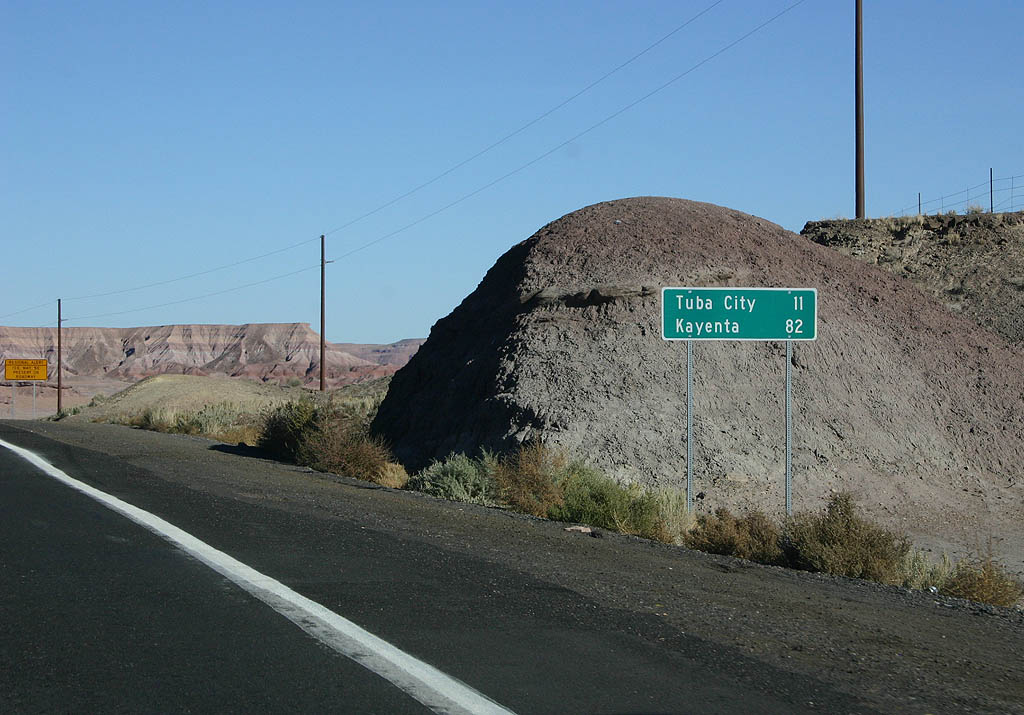
| Distance sign to Tuba City (11 miles) and Kayenta
(82 miles). 10/26/08 |
|
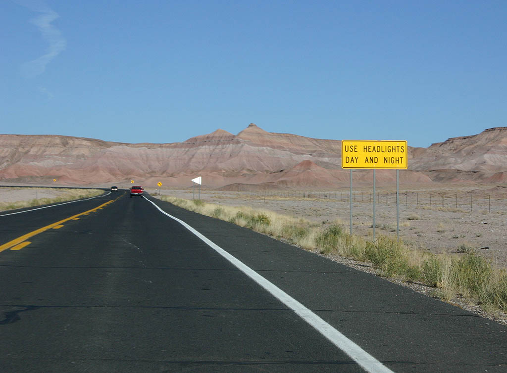
| The section of U.S. 160 has a daytime headlight
restriction until reaching Tuba City. 10/26/08 |
|
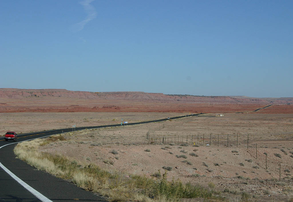
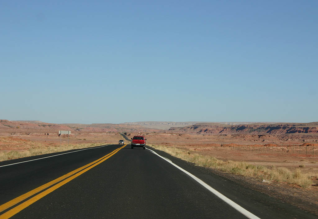
| U.S. 160 enters the mesa country of Northeastern Arizona and the Four Corners region. 10/26/08 |
|
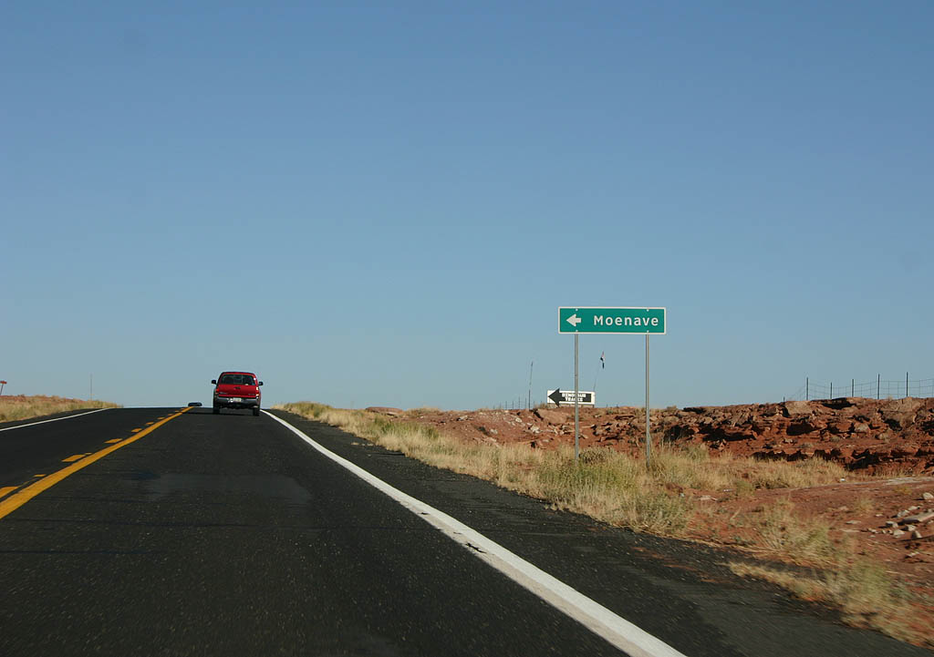
| Turn left to reach Moenave. 10/26/08 |
|
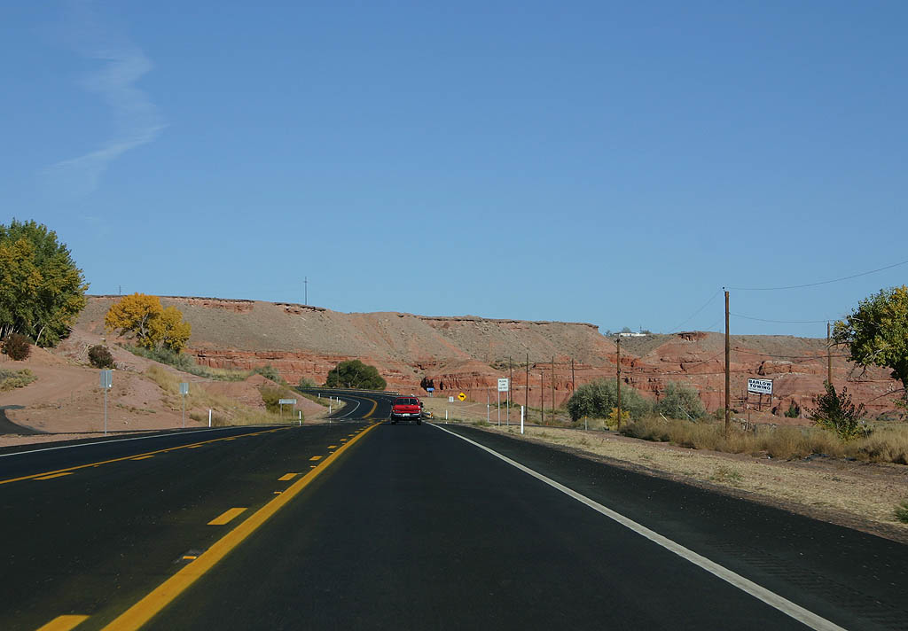
| U.S. 160 begins the descent into Kerley Valley. 10/26/08 |
|
| U.S. 160 widens as it approaches Tuba City. 10/26/08 |
|
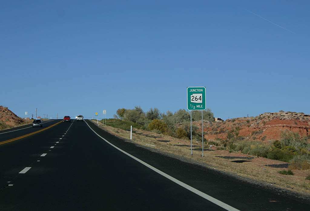
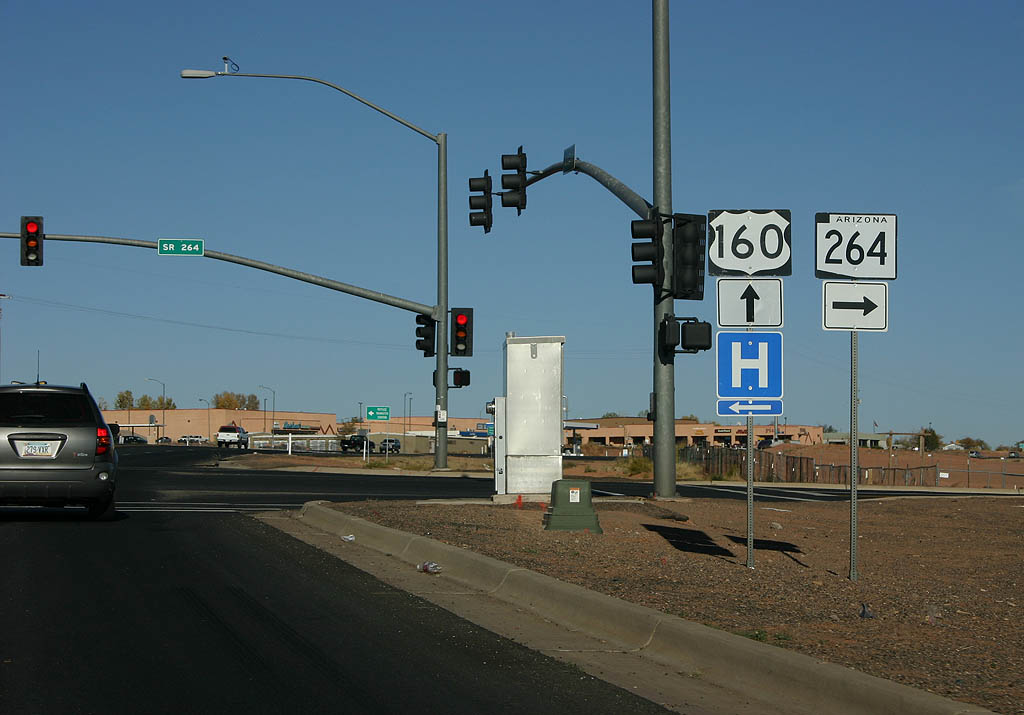
| Rising onto a mesa, U.S. 160 advances a half mile to Arizona State Route 264. 10/26/08 |
|
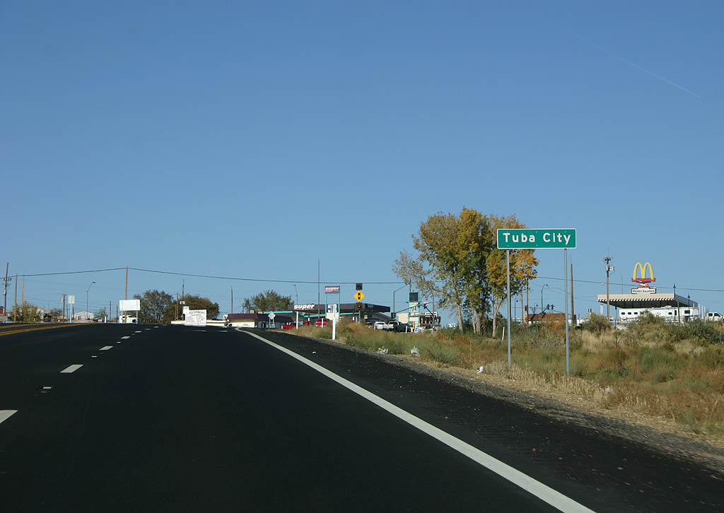
| After a short climb up onto the mesa, U.S. 160
enters Tuba City. Tuba City is the westernmost village
on the Navajo Nation, and is named after Hopi Chief
"Tuba" who lived near the town site. 10/26/08 |
|
| Arizona Route 264 travels east through the Navajo and Hopi reservations, paralleling U.S. 160, before reaching Window Rock and New Mexico. 10/26/08 |
|
| Distance sign to Red Lake (22 miles), Kayenta
(73 miles) and Four Corners (149 miles). 10/26/08 |
|
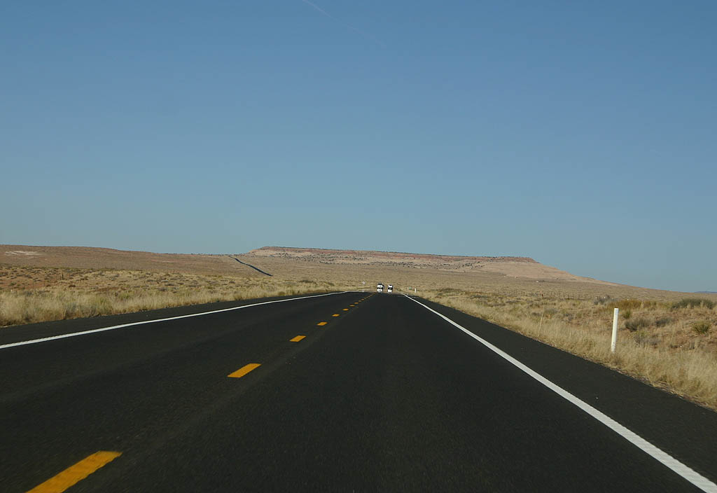
| U.S. 160 travels over open range country east
of Tuba City. 10/26/08 |
|
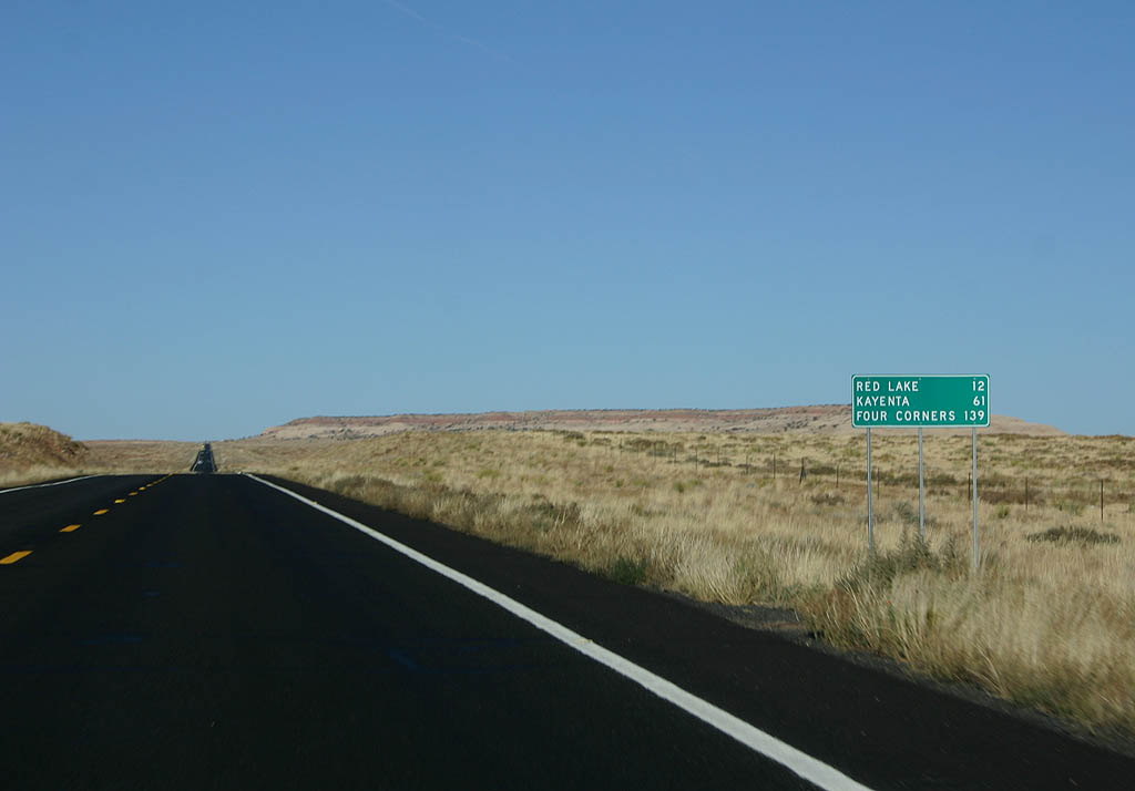
| Distance sign to Red Lake (12 miles), Kayenta
(61 miles) and Four Corners (139 miles). 10/26/08 |
|
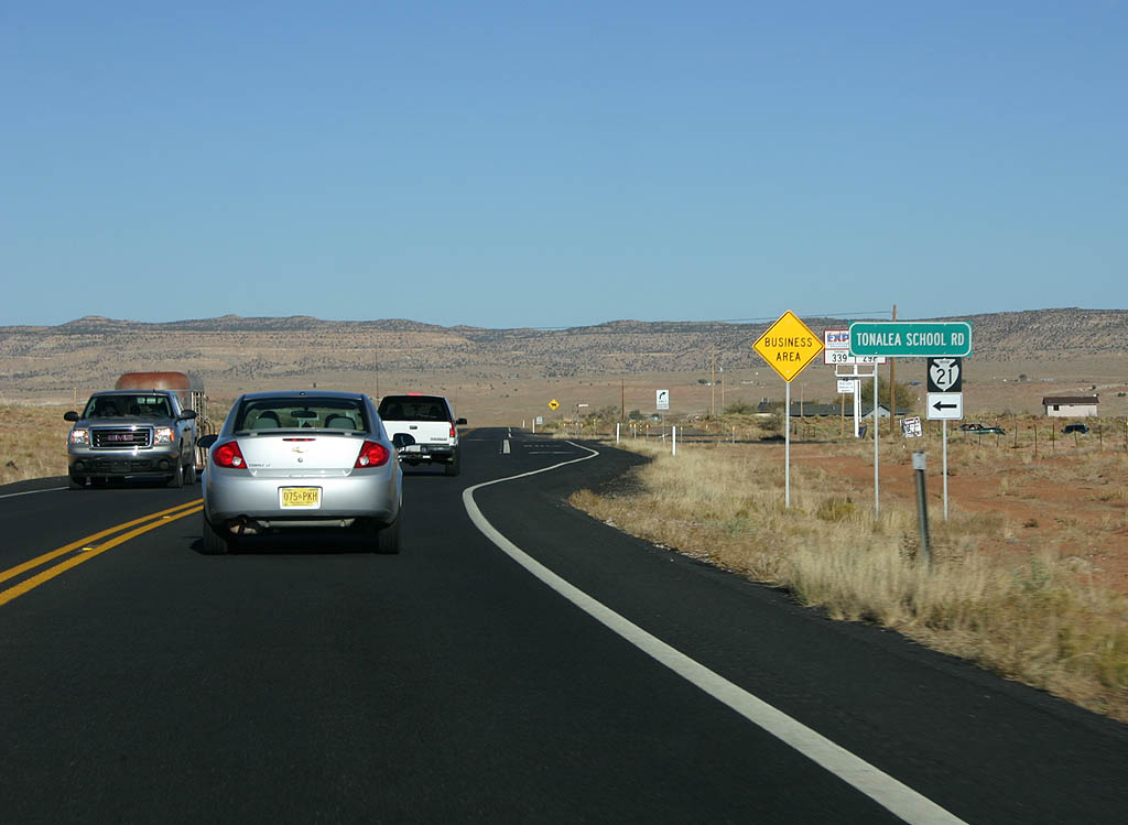
| U.S. 160 meets Indian Route 21 (Tonalea School
Road) here. 10/26/08 |
|
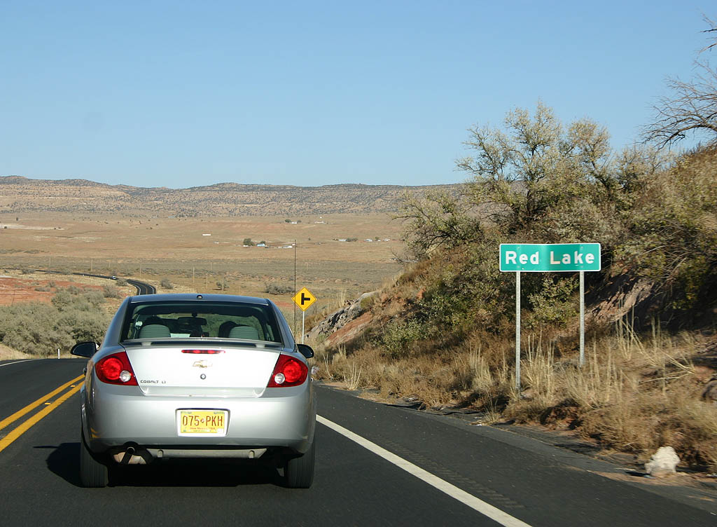
| Eastbound U.S. 160 lowers into the village of Red Lake. 10/26/08 |
|
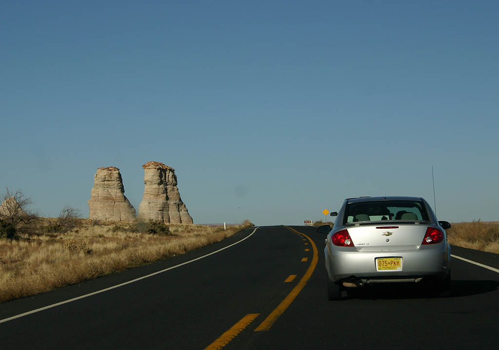
| U.S. 160 passes the rock formation called Elephant Feet. 10/26/08 |
|
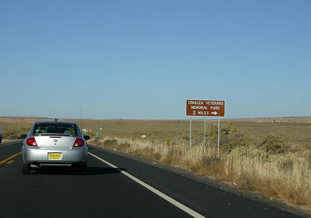
| Turn right to reach the Tonalea Veterans Memorial
Park. 10/26/08 |
|
| Distance sign to Cow Springs (4 miles), Kayenta
(45 miles), and Four Corners (122 miles). 10/26/08 |
|
| U.S. 160 meets the Black Mesa and Lake Powell
railroad here. The railroad was built to haul coal
from Black Mesa to the Navajo Generating Station
near Lake Powell. The powerplant is used to fuel
power demands in Phoenix, and is not without controversy
due to the location and pollution of Grand Canyon
National Park. 10/26/08 |
|
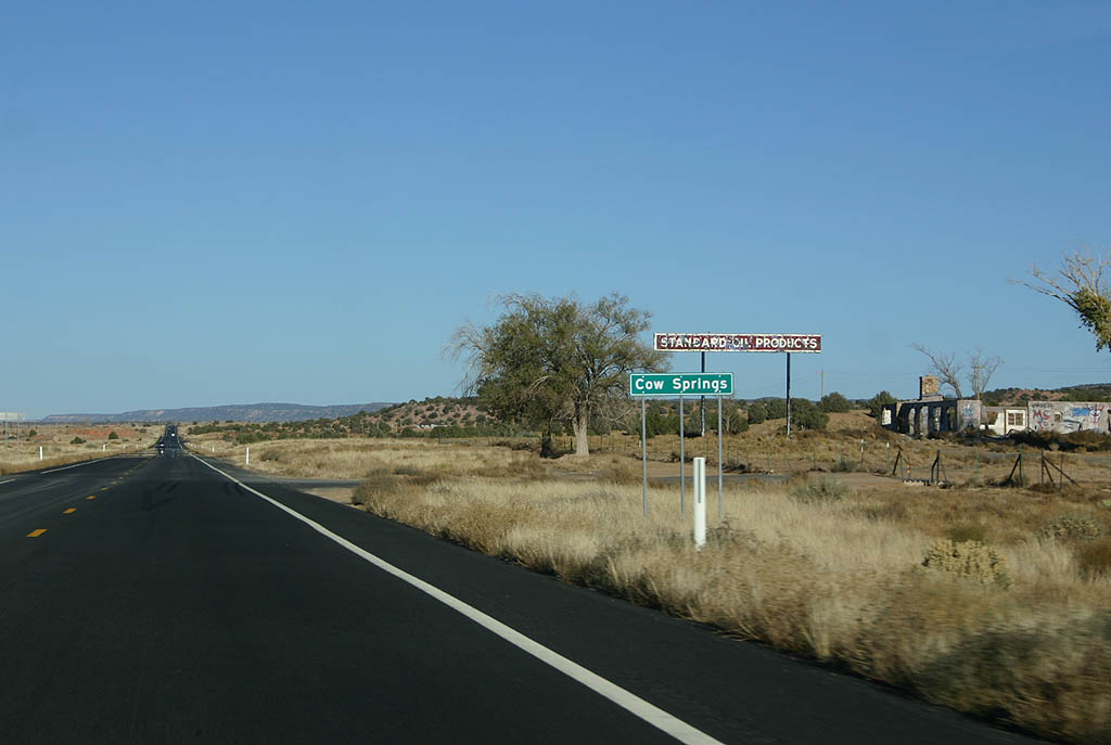
| U.S. 160 passes Cow Springs here. The only thing
that was here for tourists is this long-abandoned
Standard Oil station. 10/26/08 |
|
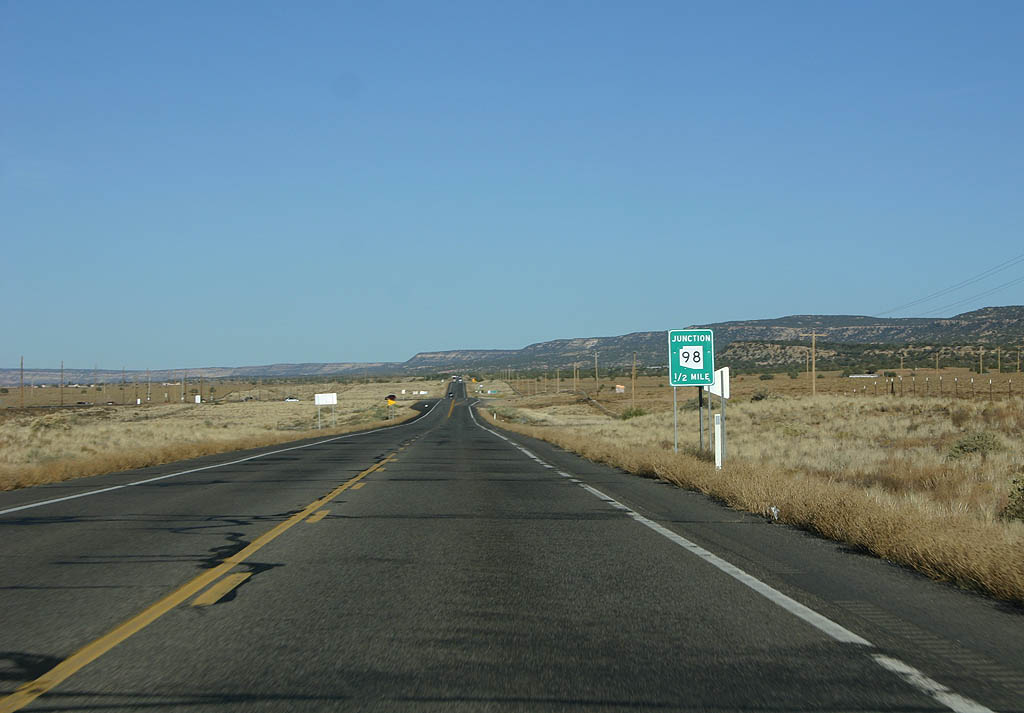
| Advance signage for SR 98, 1/2 mile. Arizona
98 travels west to Page and Lake Powell. 10/26/08 |
|
| Reassurance marker for U.S. 160 after the junction
with SR 98. 10/26/08 |
|
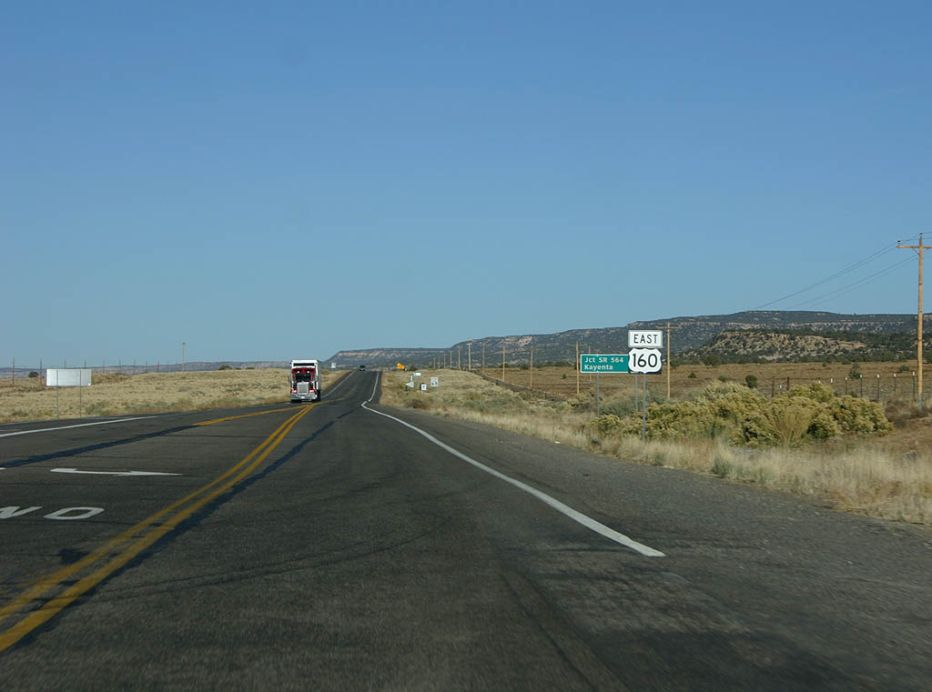
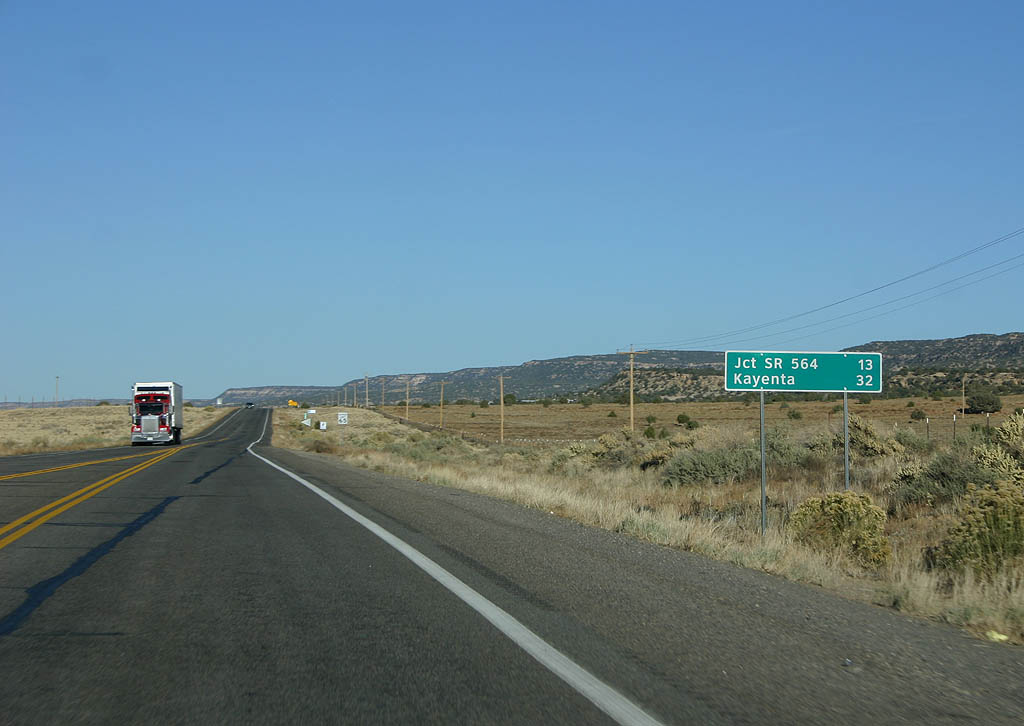
| Distance sign to SR 564 (13 miles) and Kayenta
(32 miles). 10/26/08 |
|
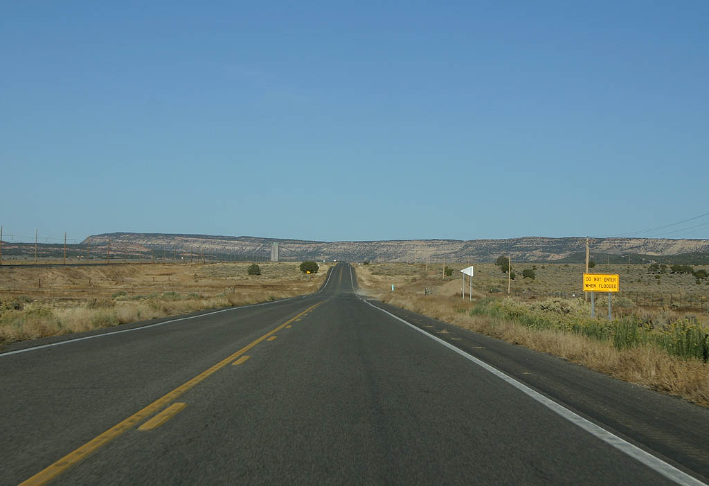
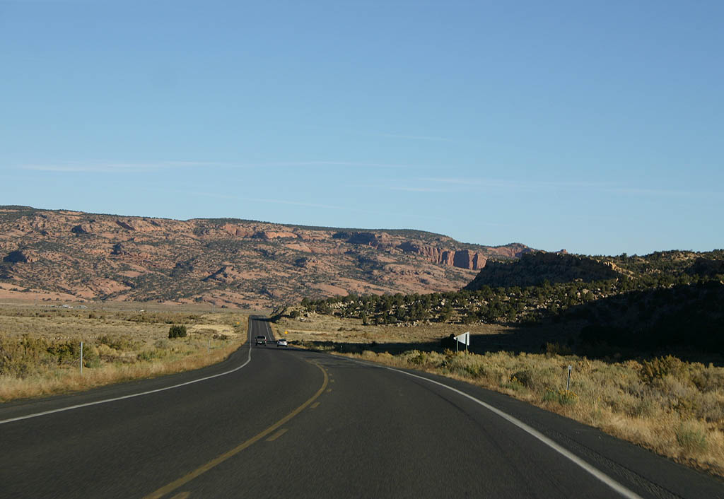
| U.S. 160 travels through the Klethla Valley on
an arrow-straight route to Black Mesa. 10/26/08 |
|
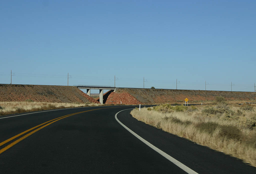
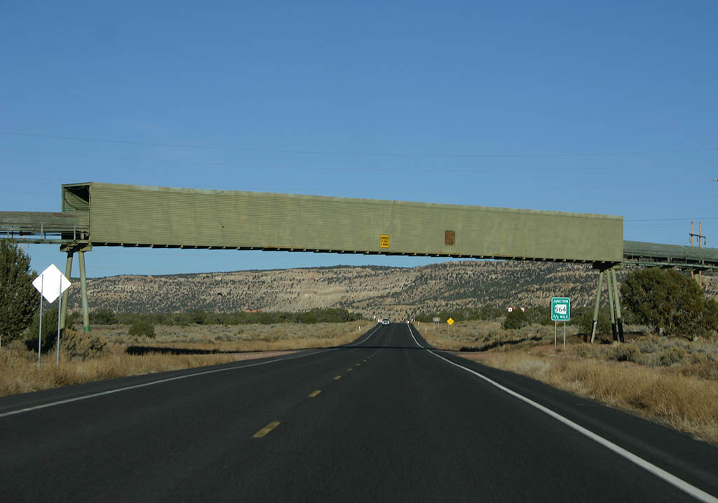
| This overpass takes coal from the strip mine on
Black Mesa across the highway to a loading dock
next to the railroad. This is where the Black Mesa
and Lake Powell Railroad begins. 10/26/08 |
|
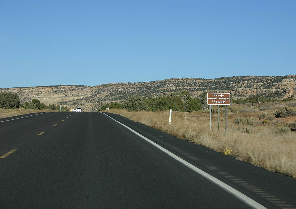
| Advance signage for Navajo National Monument and
SR 564, 1/2 mile. 10/26/08 |
|
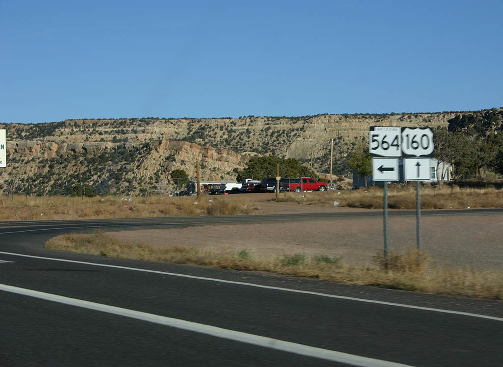
| Continue ahead on U.S. 160 to reach Kayenta, turn
right for Black Mesa, or turn left for SR 564
to Navajo National Monument at the next intersection. 10/26/08 |
|
| SR 564 departs from U.S. 160 here. The road is a nine mile road to Navajo National Monument, which preserves two ancestral Puebloan dwellings. 10/26/08 |
|
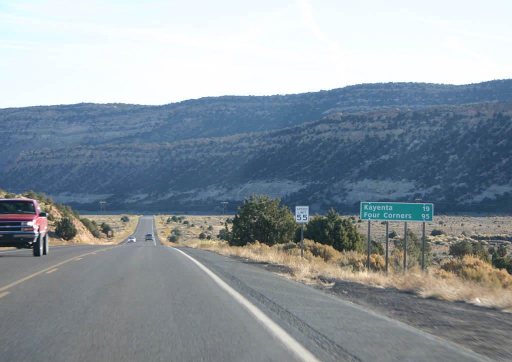
| Distance sign to Kayenta (19 miles) and Four Corners
(95 miles). 10/26/08 |
|
| U.S. 160 now descends into Long House Valley. 10/26/08 |
|
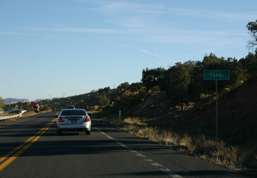
| U.S. 160 passes through the village of Tsegi.
Tsegi holds a lodge for travellers, and is named
from the Navajo word "Tse-Yi", meaning
"among the cliffs". 10/26/08 |
|
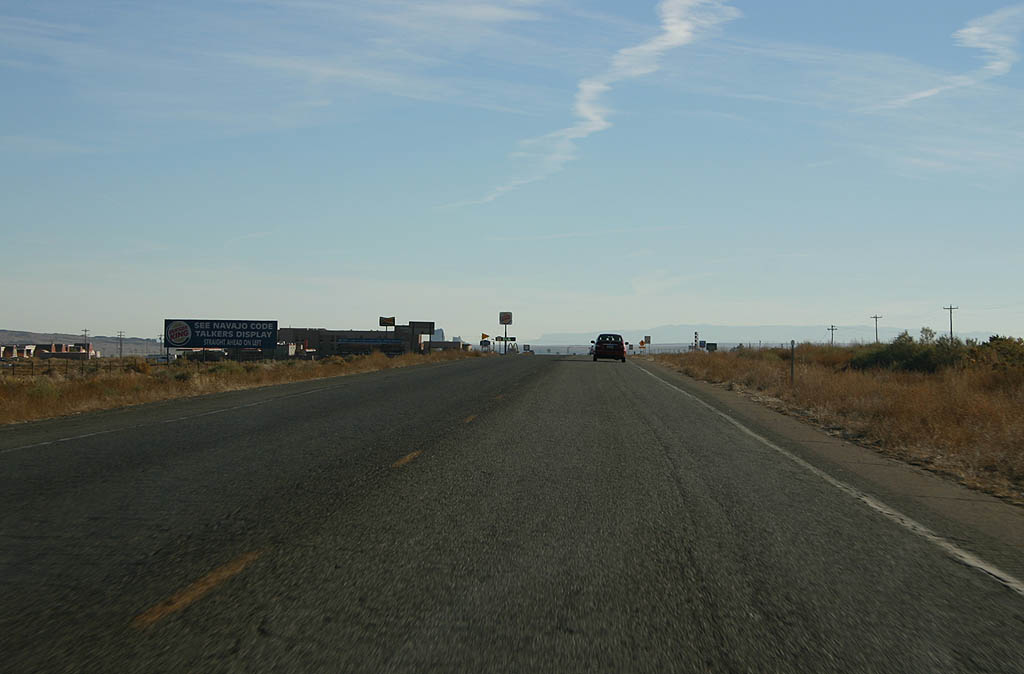
| U.S. 160 now enters the outskirts of Kayenta.
A number of commercial businesses are located on
the western outskirts of Kayenta. 10/26/08 |
|
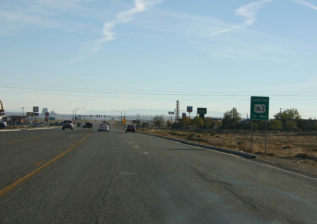
| Advance signage for U.S. 163, 1/2 mile. 10/26/08 |
|
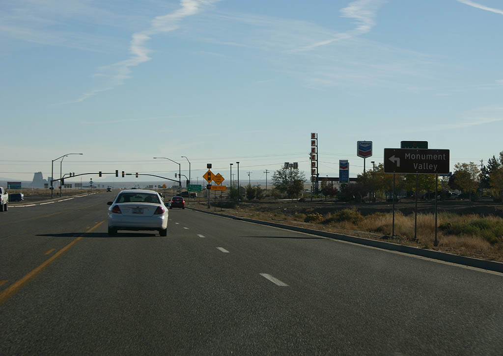
| Turn left on U.S. 163 to reach Monument Valley
Tribal Park. 10/26/08 |
|
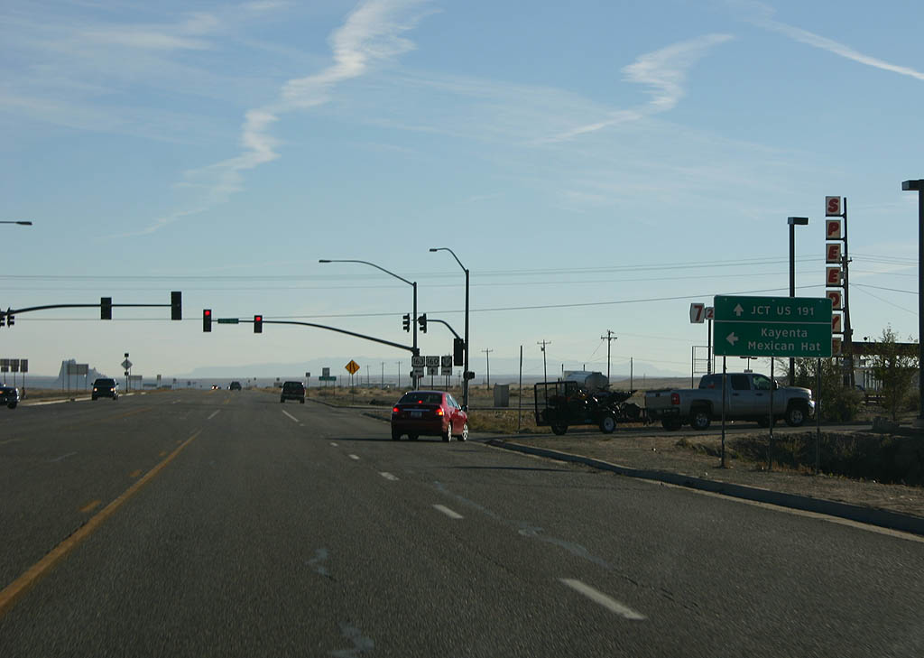
| Continue ahead on U.S. 160 to reach U.S. 191,
or turn left on U.S. 163 to reach Monument Valley. 10/26/08 |
|
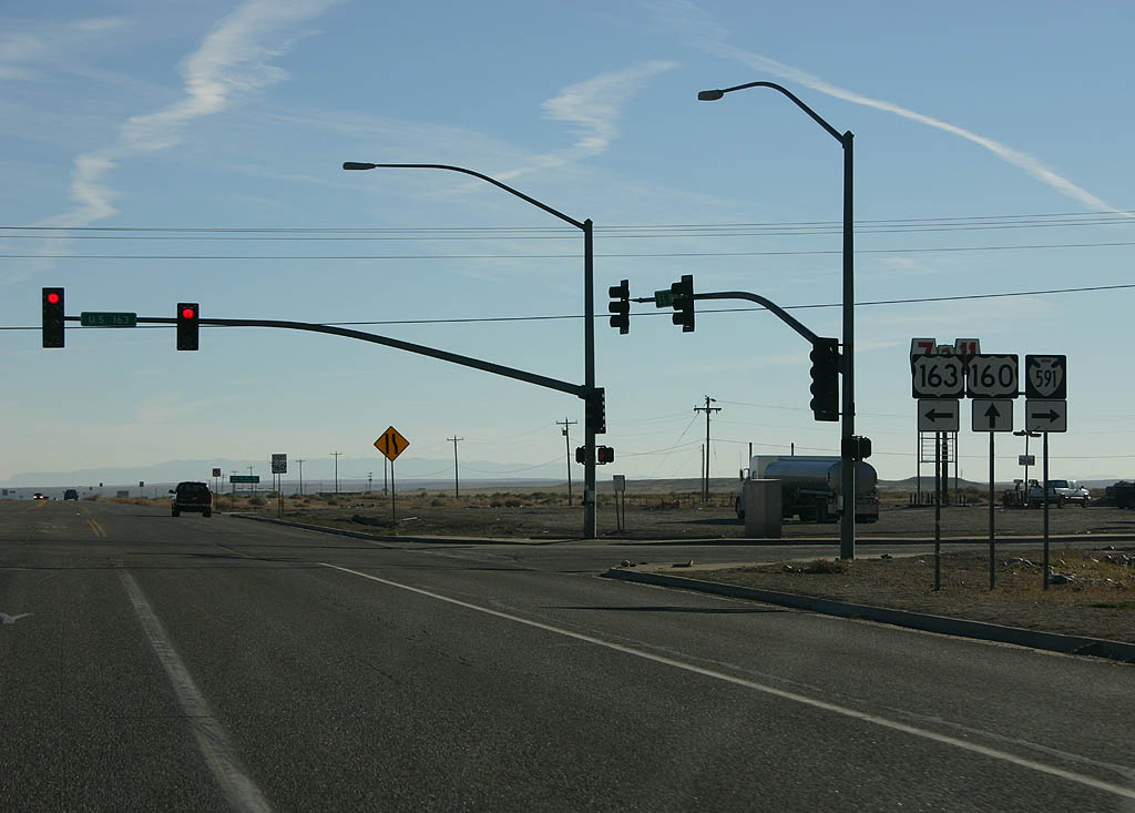
| U.S. 163 departs from U.S. 160 here. Turn right
to take Indian Route 591, which rapidly turns into
a dirt road. 10/26/08 |
|
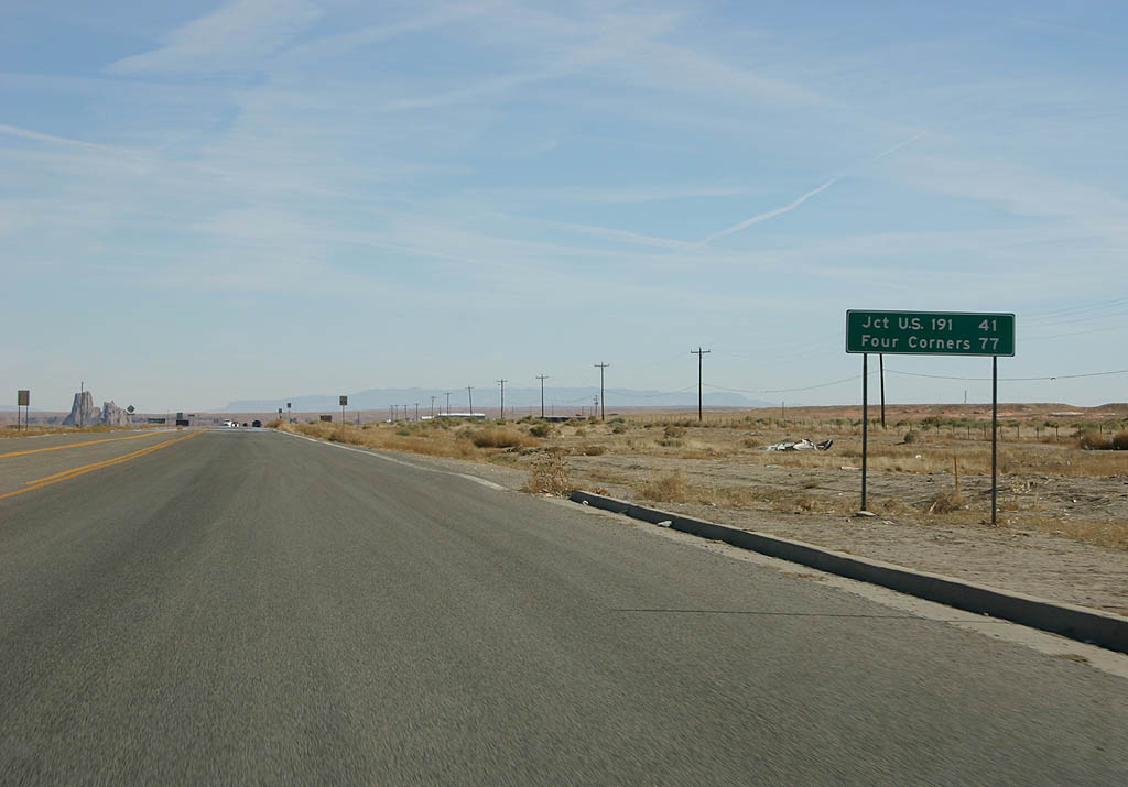
| Distance sign to U.S. 191 (41 miles) and Four
Corners (77 miles). 10/26/08 |
|
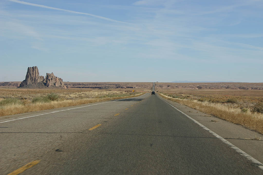
| U.S. 160 now passes Church Rock and crosses Church
Rock valley. 10/26/08 |
|
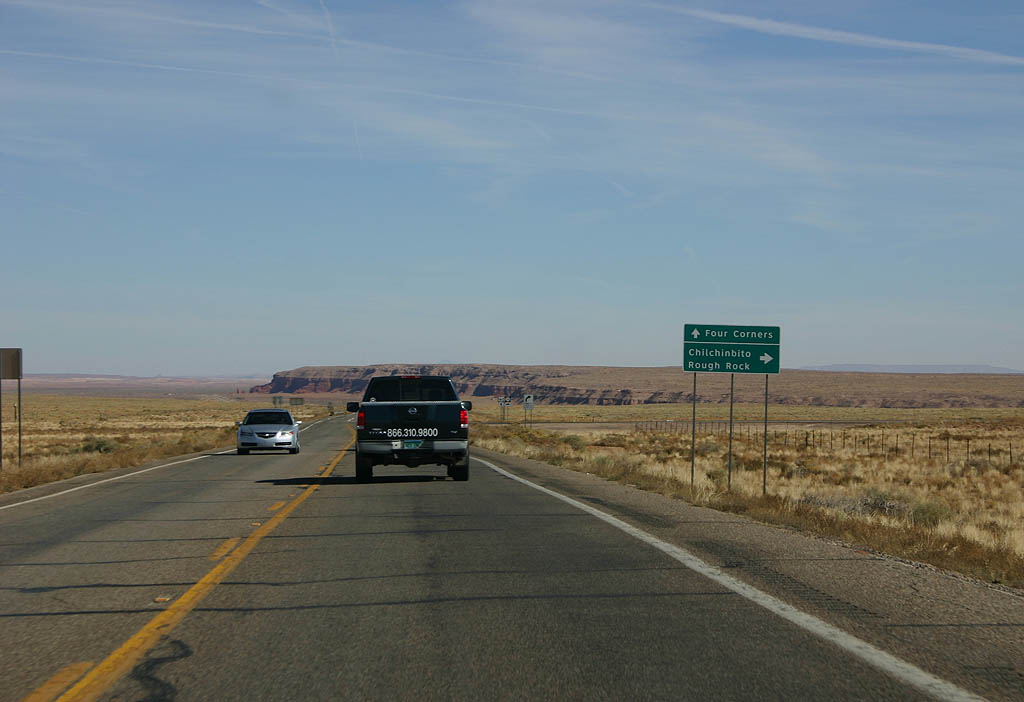
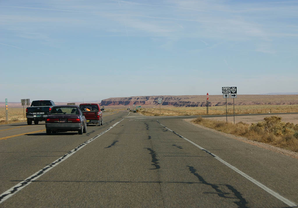
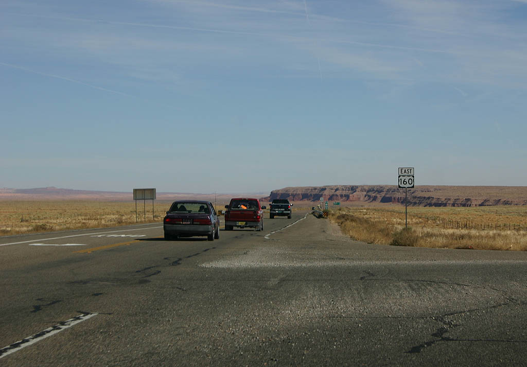
| Continue ahead on U.S. 160 to Four Corners, or
turn right on Indian Route 59 to Chilchinbito and
Rough Rock. 10/26/08 |
|
| Indian Route 59 departs from U.S. 160 here. The
road travels approximately 40 miles to reach U.S.
191 at Many Farms. 10/26/08 |
|
| Reassurance marker for U.S. 160 eastbound. 10/26/08 |
|
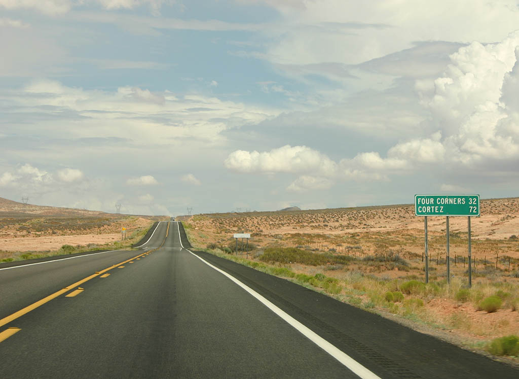
| Jumping ahead, we find a distance sign to Four
Corners and Cortez, CO. 08/05/07 |
|
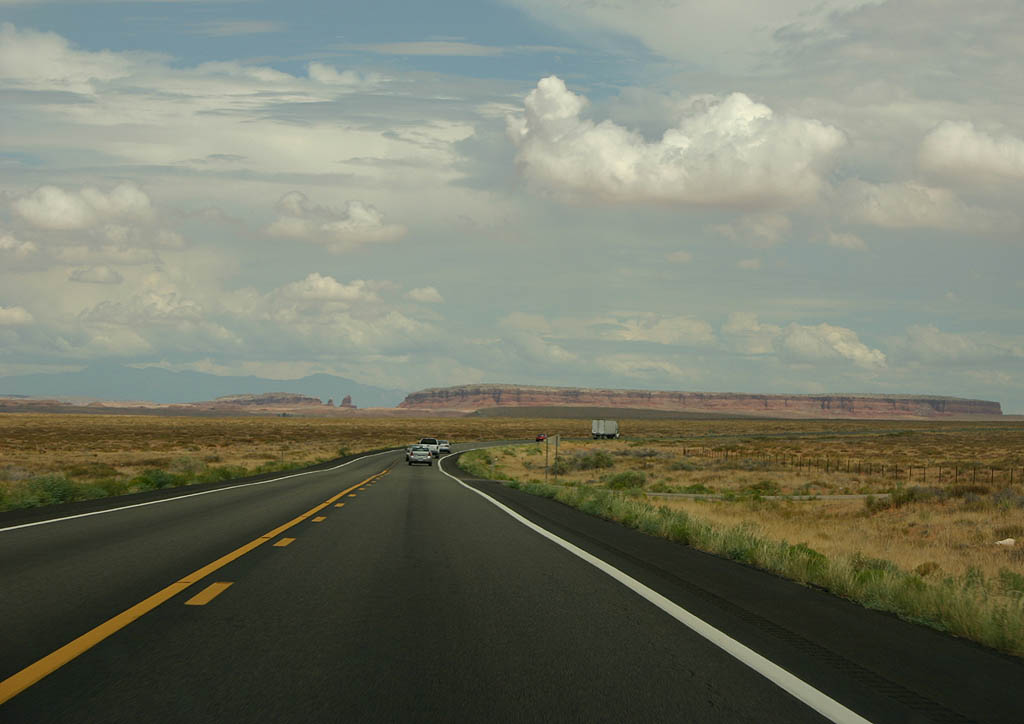
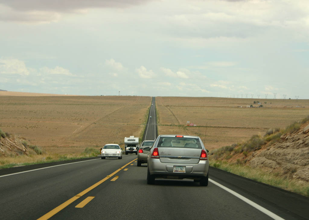
| The wide open views of the Navajo Nation encompass
Casa Del Eco Mesa in the distance. 08/05/07 |
|
| Lowering from Nokaito Bench along U.S. 160. The highway undulates across multiple mesas and benches in the Navajo Nation. 08/05/07 |
|
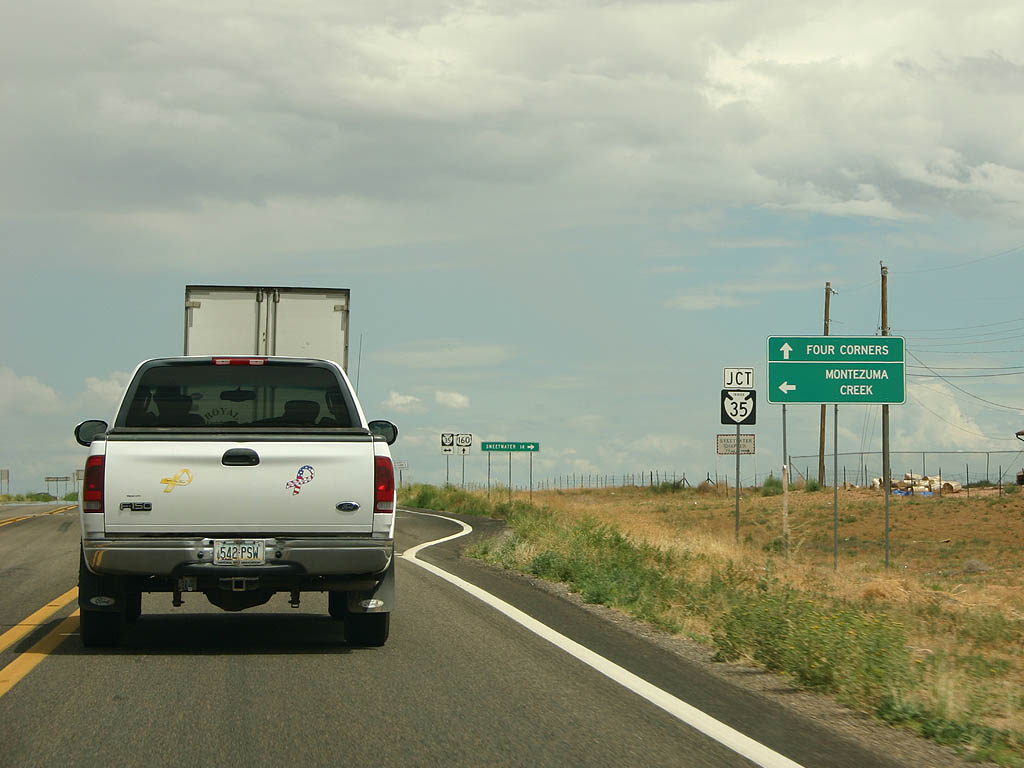
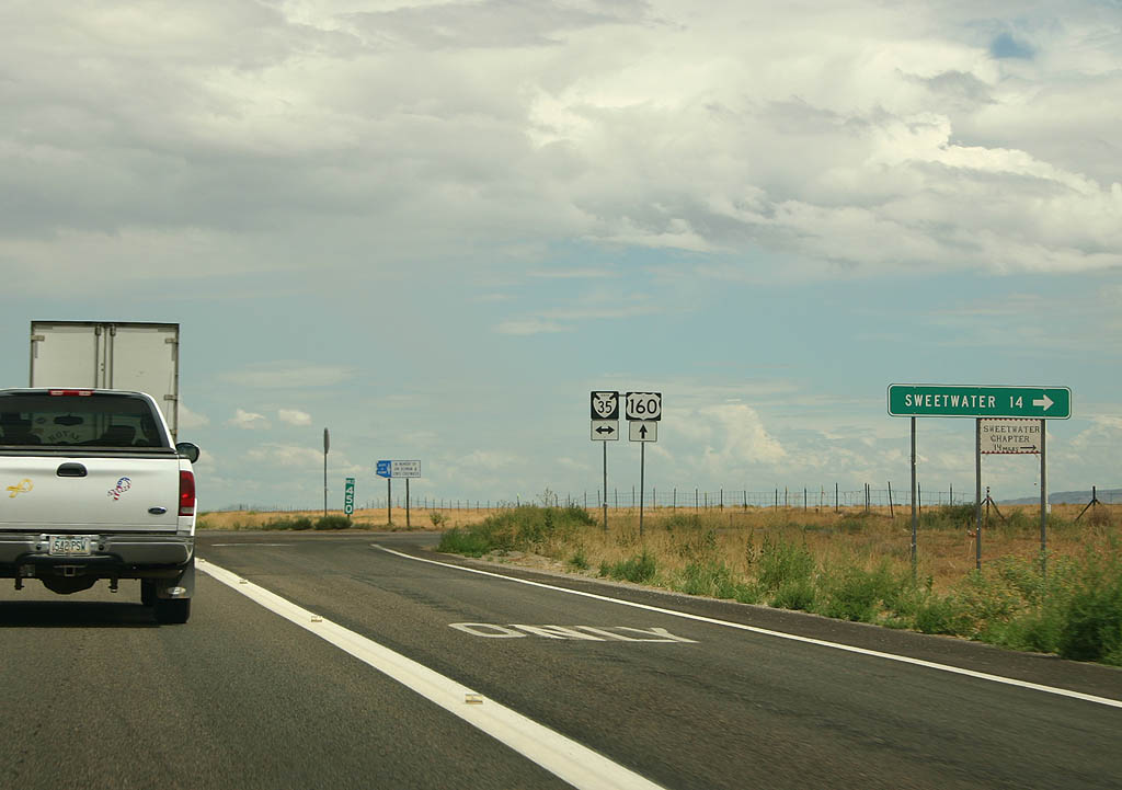
| U.S. 160 east at Indian Route 35. Indian Route 35 heads north to the village of Montezuma Creek. 08/05/07 |
|
| Turn right (south) on Indian Route 35 to reach
the village of Sweetwater. 08/05/07 |
|
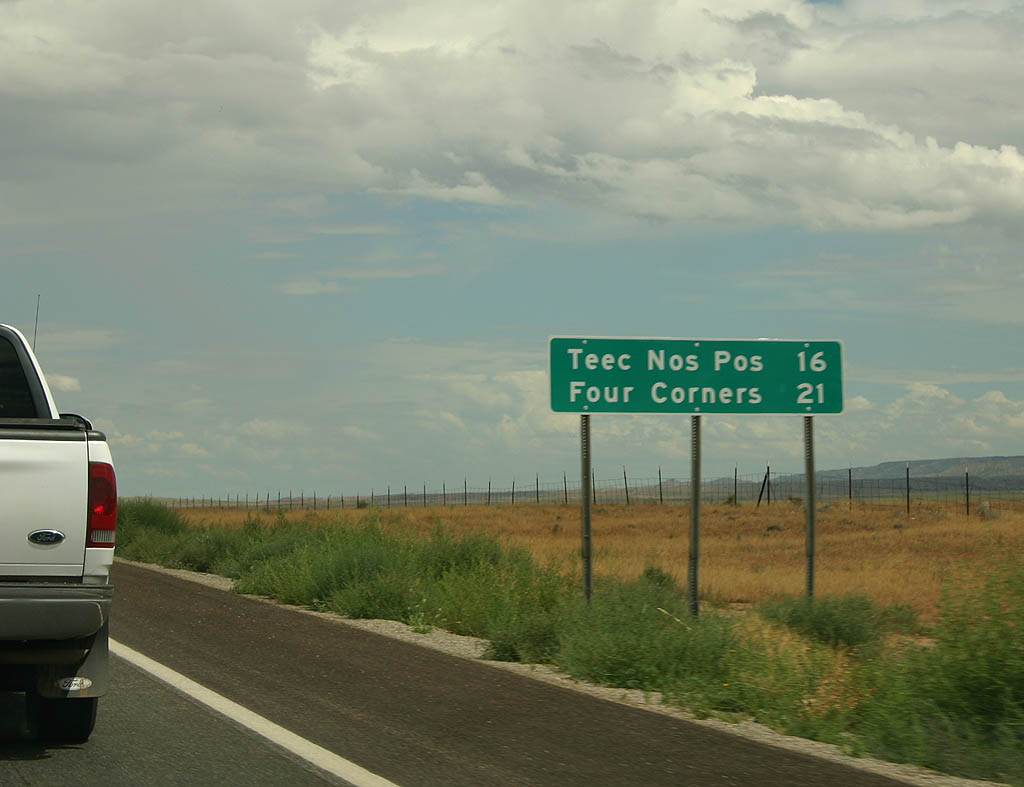
| Distance sign to Teec Nos Pos and Four Corners. 08/05/07 |
|
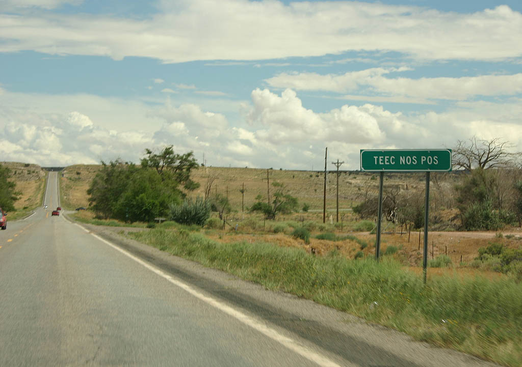
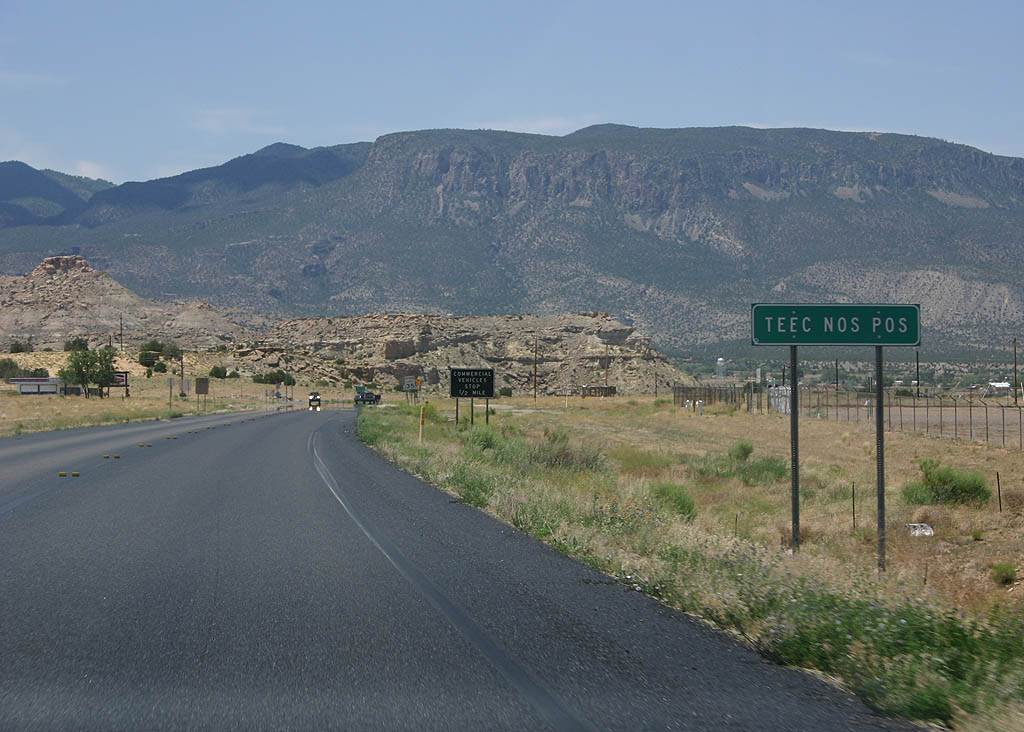
| U.S. Highway 160 enters the village of Teec Nos
Pos here. 08/05/07 |
|
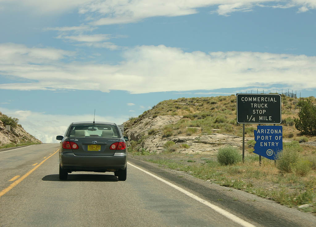
| The Arizona Port of Entry for U.S. Highway 160
is located in Teec Nos Pos. Commercial vehicles
are required to stop when the port of entry is open. 08/05/07 |
|
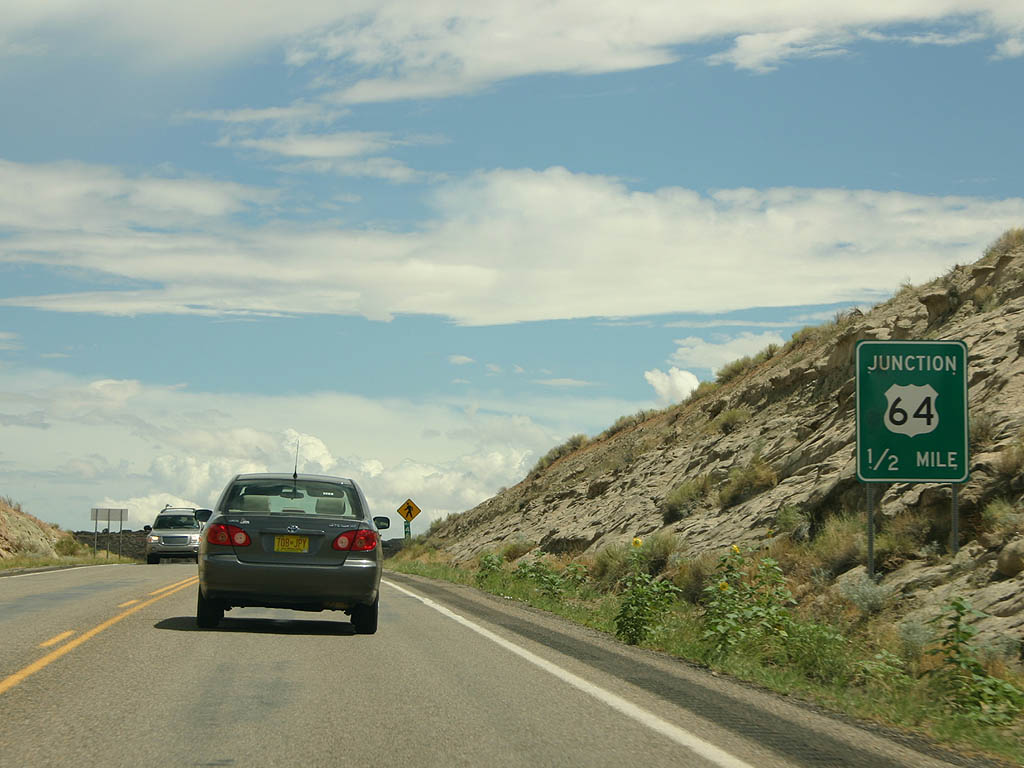
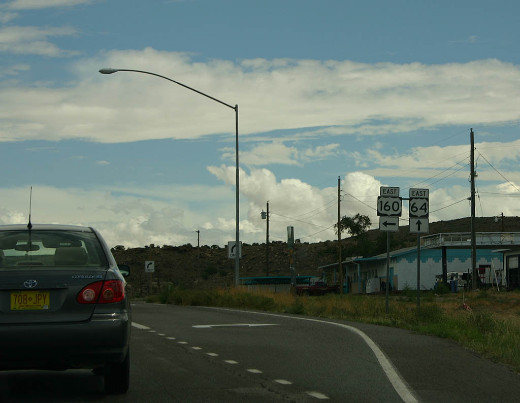
| Advance signage for U.S. Highway 64. 08/05/07 |
|
| Unlike other ports of entry, the one on U.S. Highway
160 is essentially a paved road shoulder. The Port of
Entry office is located on the other side of the road. 08/05/07 |
|
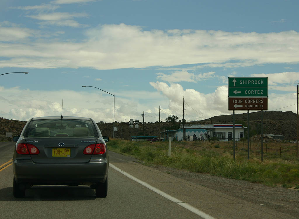
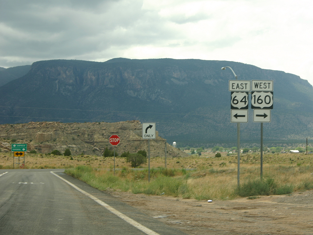
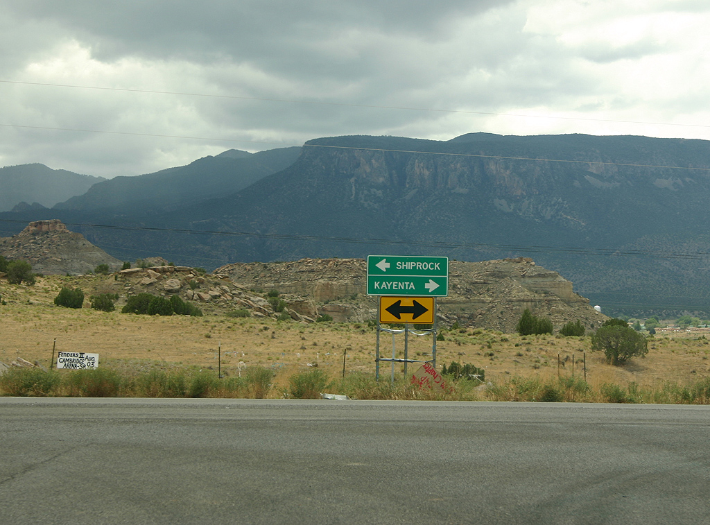
| Travellers heading to Shiprock should continue ahead
on U.S. Highway 64. Travellers heading to Cortez and Four
Corners should turn left to continue eastbound on U.S.
Highway 160. 08/05/07 |
|
| U.S Highway 64 and U.S. Highway 160 separate here. 08/05/07 |
|
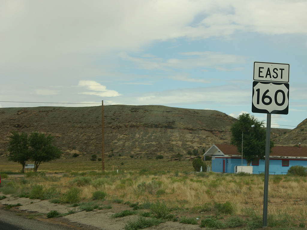
| Now north of Teec Nos Pos, we see this reassurance marker
for U.S. Highway 160 (the last reassurance marker in Arizona). 08/05/07 |
|
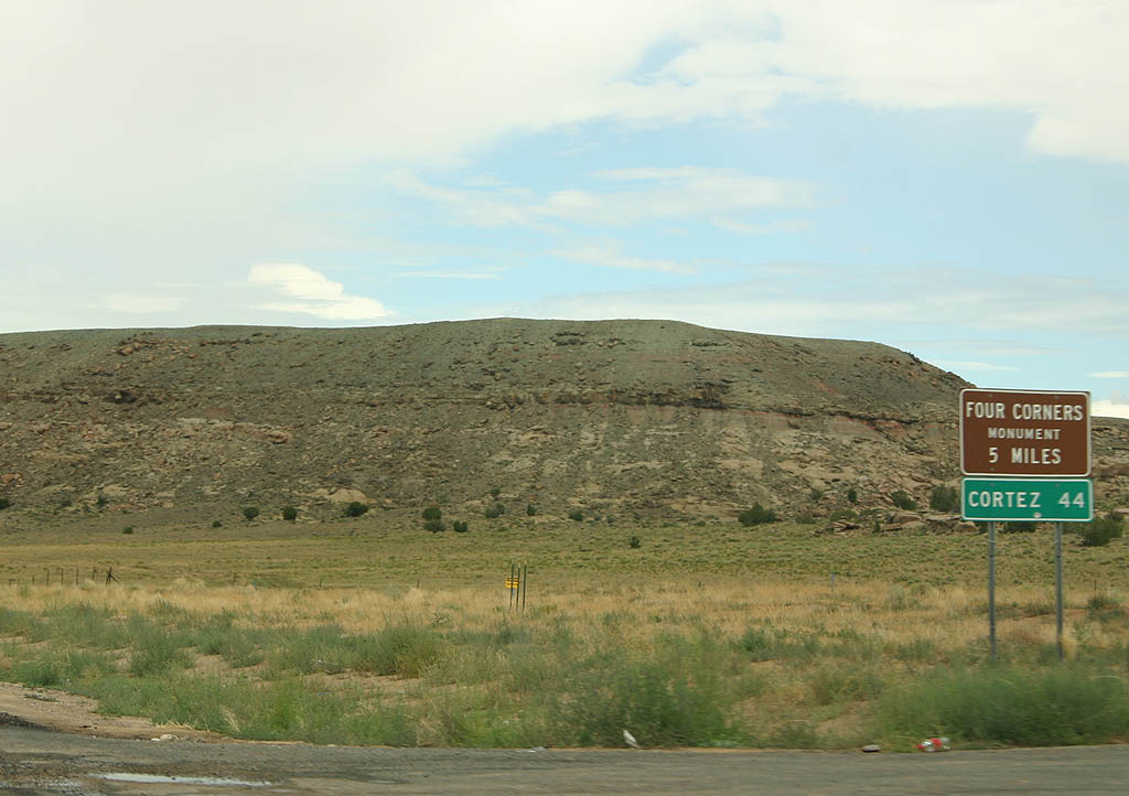
| Distance sign to Four Corners Monument and Cortez, CO. 08/05/07 |
|
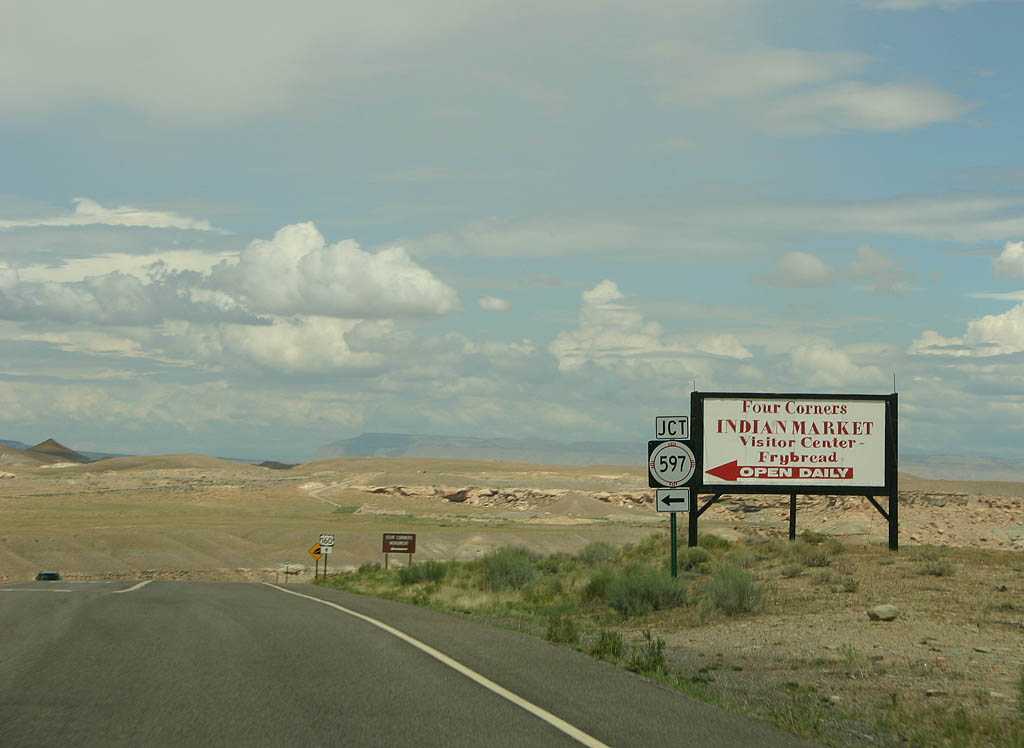
| U.S. Highway 160 briefly enters the state of New Mexico,
where it meets the short road (NM 597) to the Four Corners
Monument. 08/05/07 |
|
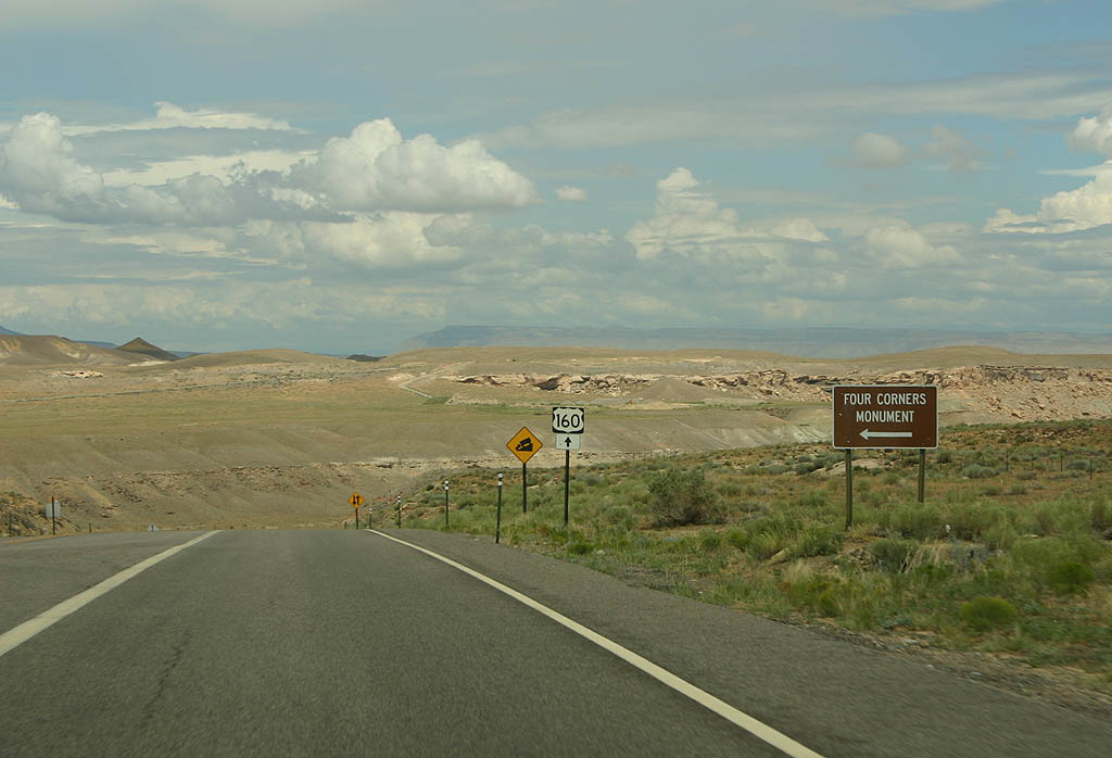
| Turn left here to reach the Four Corners Monument. The
Monument is located on the Navajo Nation, and carries
a tribal park admission fee. 08/05/07 |
|
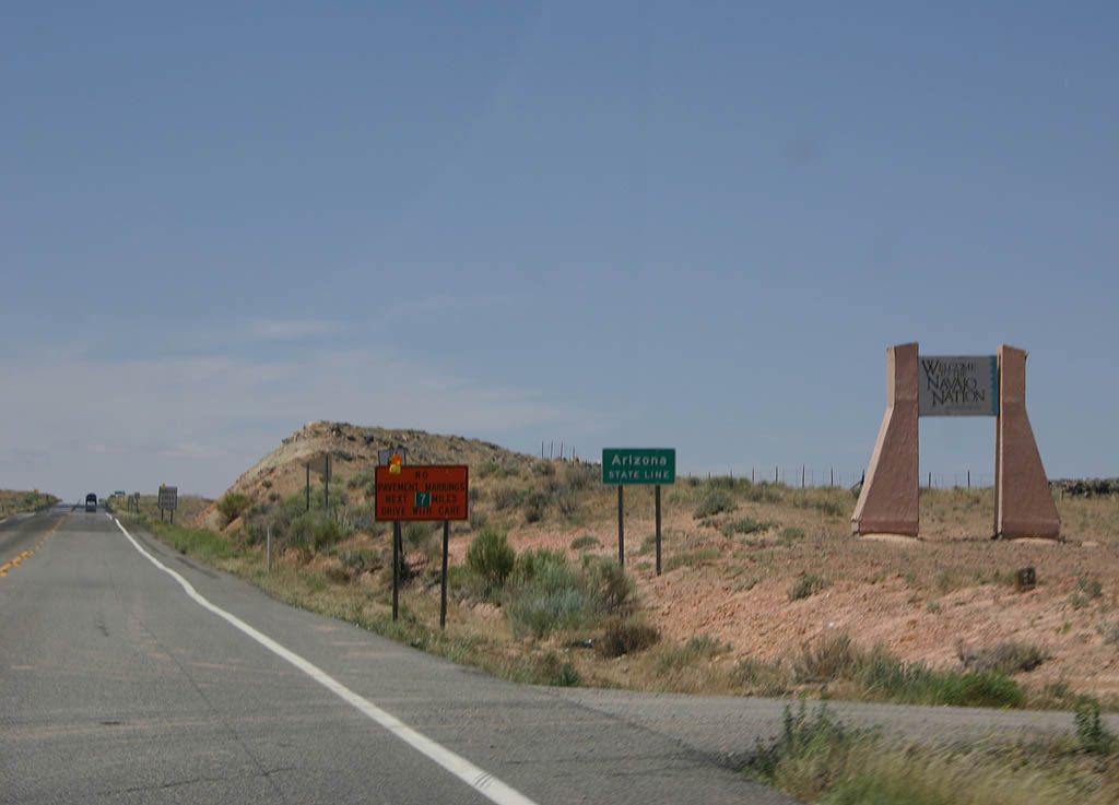
| Welcome to Arizona and the Navajo Nation. Notice the
Navajo Nation has a larger welcome sign than the state
of Arizona. 06/10/07 |
|
| Distance sign to Teec Nos Pos and Kayenta. 06/10/07 |
|
| Advance signage for U.S. Highway 64. 06/10/07 |
|
| U.S. Highway 160 enters the village of Teec Nos Pos
here. 06/10/07 |
|
| Travellers continuing west on U.S. Highway 160 must
turn right to continue on U.S. Highway 160. Travellers
taking U.S. Highway 64 turn left to head east toward Shiprock. 08/05/07 |
|
| Turn left to head toward Shiprock, or turn right to
continue to Kayenta. 08/05/07 |
Sources:
- "Highway Spotlight." Arizona Highway Department, January 3, 1956.
06/10/07, 08/05/07, 10/26/08 by Kevin Trinkle
Connect with:
U.S. 64
U.S. 89
U.S. 163
U.S. 191
State Route 564
Page Updated 01-12-2009.

 East
East