


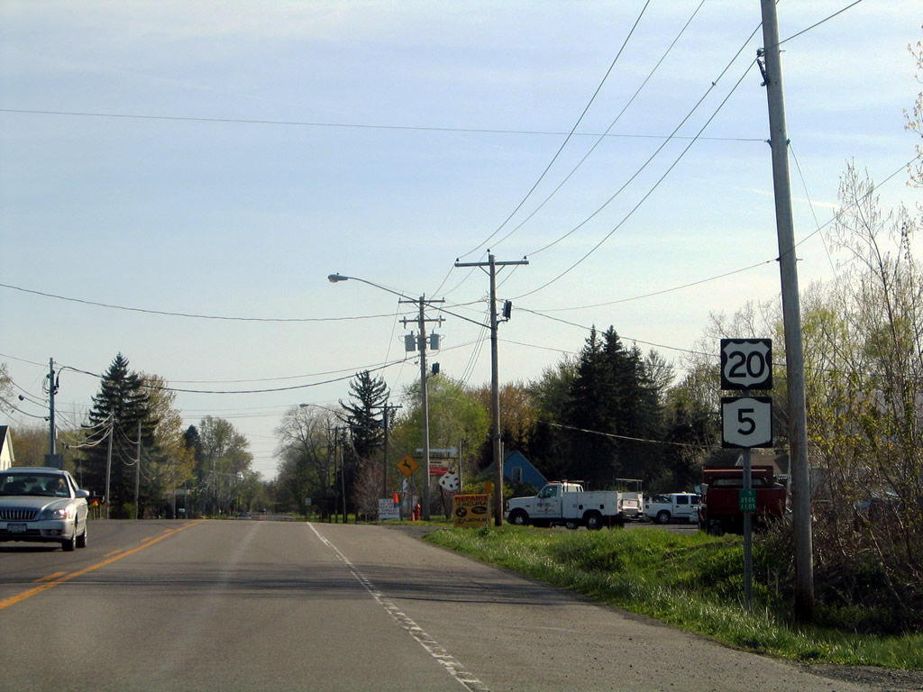
U.S. 20/NY 5 West - Seneca County
05/09/05 photos taken by Alex Nitzman.
| U.S. 20/NY 5 West | ||
|---|---|---|
 |
 |
The Menard Memorial Bridge across the Cayuga and Seneca Canal was built in 1938 and reconstructed in 1970. Photos taken 05/09/05. |
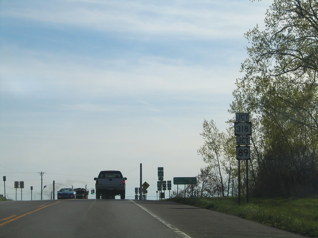 |
Leaving the Montezuma Marsh area, U.S. 20/NY 5 approach New York 89 and 318 west at Halsey Corners, 1.8 miles west of the Cayuga County line. Photo taken 05/09/05. |
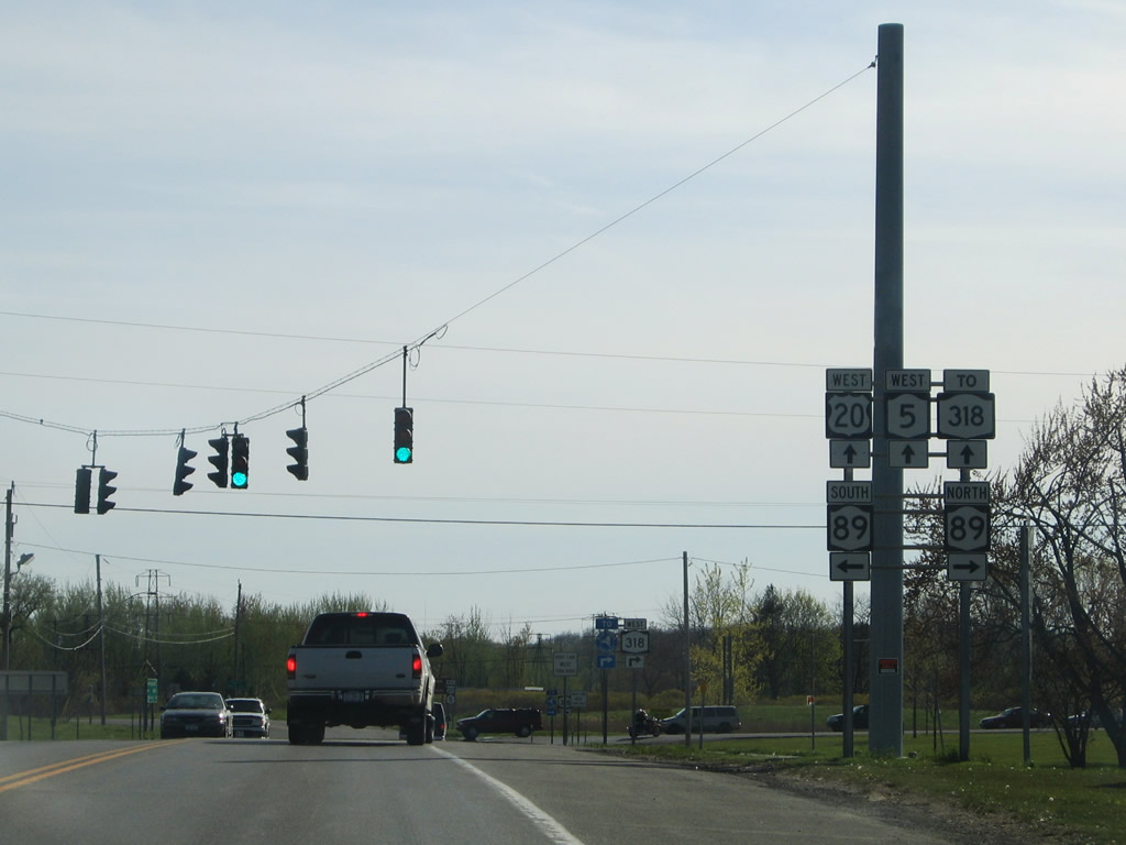 |
New York 89 leads southward along Cayuga Lake 41 miles to Ithaca and northward 10 miles to Savannah. The state route travels 62.25 miles overall between Ithaca and Wolcott. Photo taken 05/09/05. |
 |
The westbound beginning of New York 318 departs next to New York 414 at Magee. New York 414 provides a connection to Exit 41 of the New York Thruway (Interstate 90). Photo taken 05/09/05. |
 |
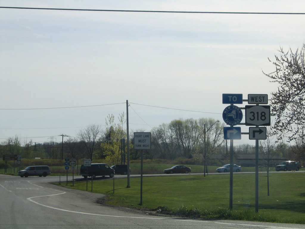
New York 318 heads west from U.S. 20/NY 5 at Halsey Corners 10.90 miles to the Thruway Exit 42 interchange with New York 14 at Phelps. Photo taken 05/09/05. |
 |
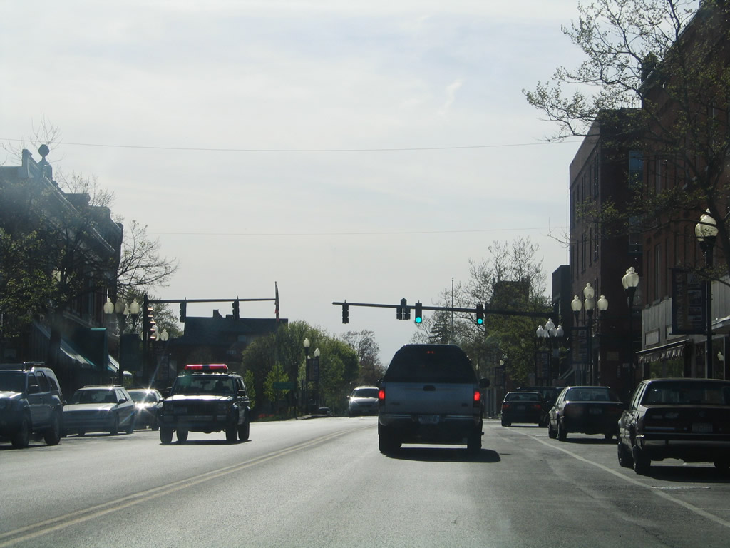
U.S. 20/NY 5 turn southwest and cross the Seneca Falls town line on the three mile drive to the village of Seneca Falls and ten mile drive to Geneva. Photo taken 05/09/05. |
 |
Entering the village of Seneca Falls on U.S. 20/NY 5 (Auburn Road) west. Photo taken 05/09/05. |
 |
U.S. 20/NY 5 turn west in downtown Seneca Falls from Cayuga Street onto a 2.22-mile overlap with New York 414 north. New York 414 south crosses the Seneca River. Photo taken 05/09/05. |
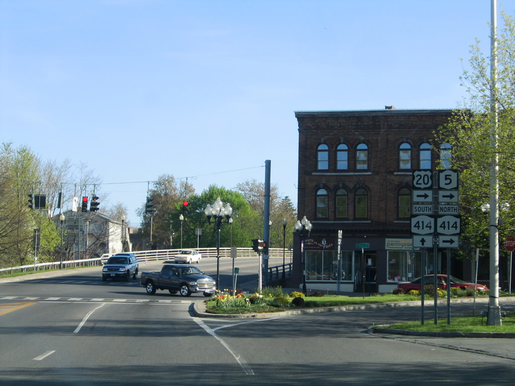 |
New York 414 continues south to the town of Fayette, Watkins Glen, and Corning. Overall the route travels 83.20 miles between New York 352 and New York 104 at Wolcott. Photo taken 05/09/05. |
 |
Reassurance shields posted for U.S. 20/NY 5 west and New York 414 north after their merge from Cayuga Street onto Fall Street. Photo taken 05/09/05. |
 |
Water and State Streets come together at U.S. 20/NY 5-414 (Fall Street) one block west of Cayuga Street. Water Street heads to the Seneca Riverfront; State Street bends northeast to Gravel Road (Seneca County 101). Photo taken 05/09/05. |
 |
Black Brook Road leads north from Seneca Falls to New York 318. This shield assembly resides along Fall Street west of U.S. 20/NY 5-414 Black Brook Road. Photo taken 05/09/05. |
 |
A staggered intersection join Rumsey Street north and the Seneca River bridge south to Bayard Street at the next traffic light of Falls Street west. Photo taken 05/09/05. |
 |
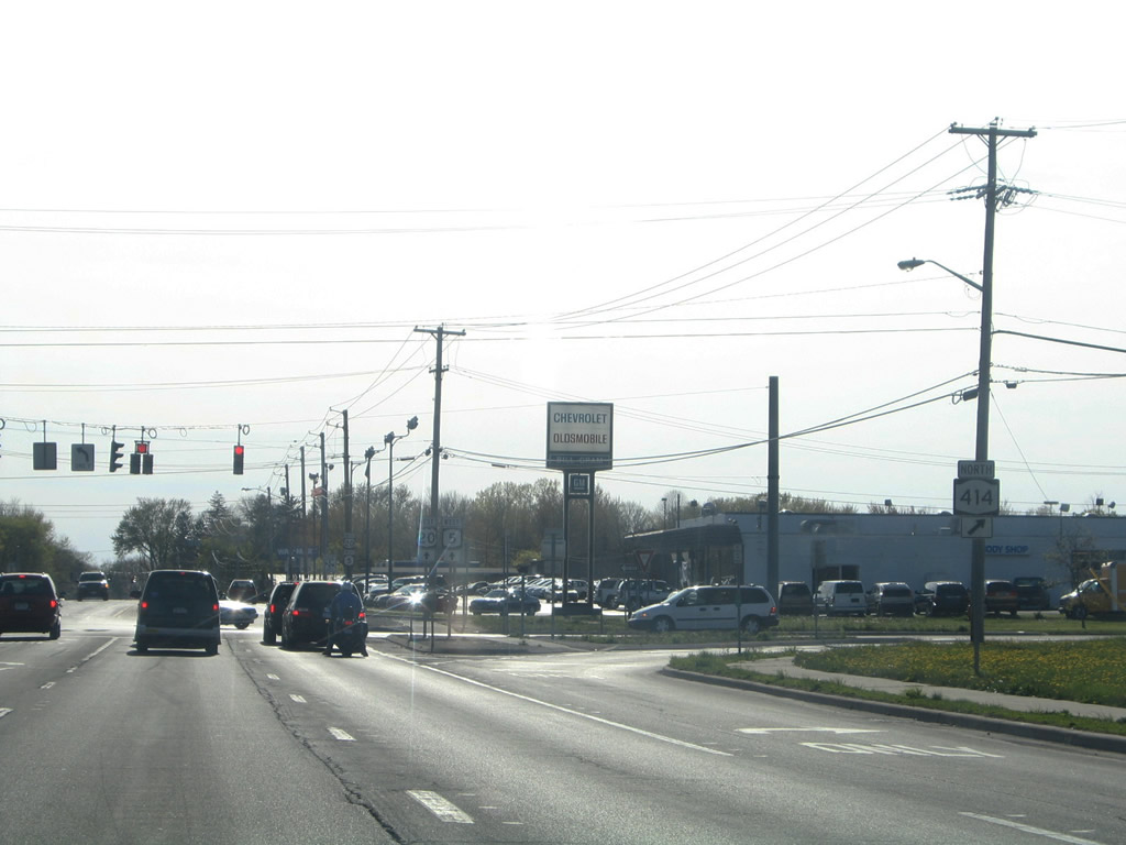
Nearing the split of New York 414 (Mound Road) north from U.S. 20/NY 5 (Waterloo Road) west. New York 414 continues 4.37 miles to Interstate 90 (New York Thruway) and seven miles to Geneva. Photo taken 05/09/05. |
 |
|
Westbound at New York 414 (Mound Road) north. The Waters Falls Bridge stems south from U.S. 20/NY 5 at Mound Road to River Road (Seneca County 117). Photos taken 05/09/05. |
 |
New York 96 crosses paths with U.S. 20/NY 5 (Main Street) within the village of Waterloo. The state route connects Waterloo with Fayette to the south and Five Points (New York 14) to the northwest. Photo taken 05/09/05. |
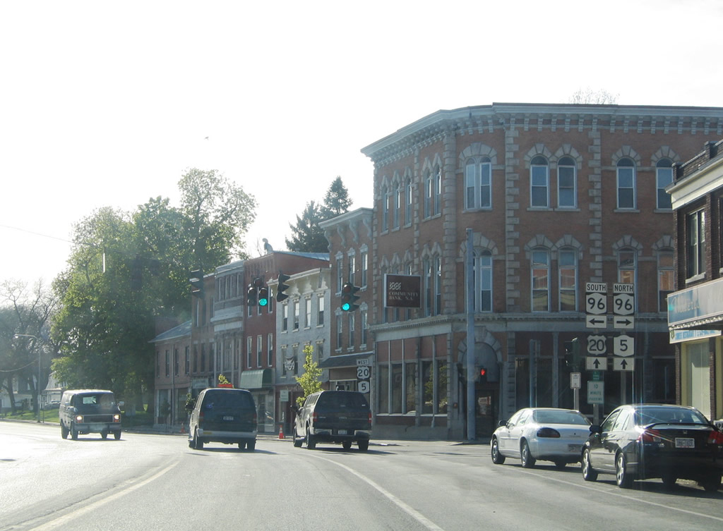 |
New York 96 is a lengthy route, traveling 125.25 miles between Rochester and Owego. Photo taken 05/09/05. |
 |
Continuing west to East Geneva along U.S. 20/NY 5. This shield assembly is posted after North Street. Photo taken 05/09/05. |
 |
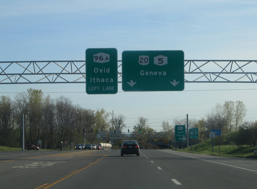
Next in line is the northern terminus of New York 96A, a 26.94-mile state route leading south to Interlaken. Photo taken 05/09/05. |
 |
New York 96A begins initially as a four-lane expressway on its southward trek across the Seneca River to Boodys Hill Road. The state route reduces to two lanes toward Rose Hill. Photo taken 05/09/05. |
 |
An abandoned loop ramp grade remains from a planned trumpet interchange between U.S. 20/NY 5 and New York 96A. New York 96A heads south 9.68 miles to New York 414 at Ovid. Connections with New York 96 at Ovid lead drivers southeast to Ithaca. Photo taken 05/09/05. |
 |
U.S. 20/NY 5 leave New York 96A and pass under a CSX Railroad line. Seneca Falls State Park lies to the south. Photo taken 05/09/05. |
Page Updated August 27, 2009.
|
About Contact Glossary |
In The News Testimonials Interstate Guide |
Social Media:
 |
|
© 2000-23 AARoads.com | All Rights Reserved | Privacy Policy / Terms of Use
|
||