
Texas Road & Highway Photo Guides

Sitemap for road and highway photo guides for Texas, which has the most state highway miles in the country.
Route Categories
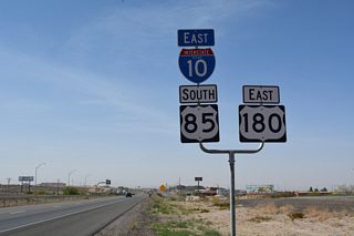
Interstates
17 routes, 3,830 photos
Toll Roads
7 routes, 185 photos
Business Routes
3 routes, 29 photos
U.S. Highways
20 routes, 1,938 photos
Primary State Highways
26 routes, 681 photos
Secondary State Highways
19 routes, 596 photos
Photo Coverage of Roads and Highways in Texas
AARoads documents highways and roads across Texas with route-by-route photo guides organized by direction of travel. Coverage includes Interstate Highways, Toll Roads, U.S. Routes, Texas State Highways, and select Texas Secondary State Highways and Farm to Market Roads.
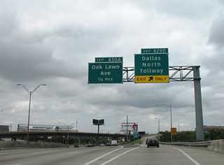
Photo guides focus on highway signage, interchanges, route markers, city limit signs, county lines, and notable points of interest along each route. Photo guides include extensive coverage of toll facilities, beltways, and major river crossings.
New and updated photos for Texas routes are added periodically and cataloged on the updates page.
City/Area Guides

Austin
13 Photos
Corpus Christi
93 Photos
El Paso
93 Photos
Houston
93 Photos
Rio Grande Valley
93 Photos
San Antonio
93 PhotosOther Guides

Historical Maps of Texas
Texas Highway Designations
TxDOT classifies Interstates. U.S. Highways, State Highways and other routes across the state with two letter abbreviations. The full list can be found at the TxDOT web site. A summary of those commonly used on AARoads include:
- IH - Interstate Highway
- SH - State Highway - includes the lettered routes for Old San Antonio Road (OSR) and NASA Road 1
- SL - State Highway Loop
- SS - State Highway Spur
- UR - Urban Road - a farm or ranch to market road routed within an urban area.
- RM - Ranch to Market Road - generally used in rural areas of the state
- PR - Park Road - a state maintained roadway to a state or national park
Other terms referenced in the TxDOT Designation Files (route log for all state maintained roadways):
- BI - Business Interstate Highway
- BU - Business US Highway
- BS - Business State Highway
- BF - Business Farm to Market Road
- RE - Recreational Road
- UA - U.S. Highway Alternate
- UP - U.S. Highway Spur
Farm and Ranch to Market Roads may have Spur routes posted as well.
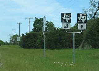
What is a FM Road?
A Farm to Market Road (FM) is a secondary state highway. The system was conceived in the 1930s as part of a "Good roads" project to ensure farms (or ranches) have all-weather access to markets. The system was originally funded by an earmark from the general fund with state funds (no federal funds). Some FM roads are eligible for federal aid, however.
There is no difference between a FM, Ranch to Market (RM) or Urban Road (UR) for state purposes. RM markers are generally found in Western Texas where ranches are dominant, while FM roads are generally found in eastern Texas where farms dominate. There are some exceptions to this general rule though.
Urban Roads were originally FM roads (most notably around Houston and San Antonio) but were reclassified in 1995 to UR status (since they do not serve farms anymore). All are still signed as FM roads to avoid driver confusion and save costs involved in re-signing the road.
Photographic Contributors
Photography by Alex Nitzman, Andy Field, Brent Ivy, Jeff Royston, Justin Cozart and Kevin Trinkle. Many thanks to Kevin, who both started Lone Star Roads on AARoads in 2005 and compiled the bulk of the original Texas highway guides found throughout the site.
Last updated: Monday February 27, 2023