Road & Highway Photo Guides
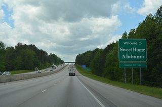
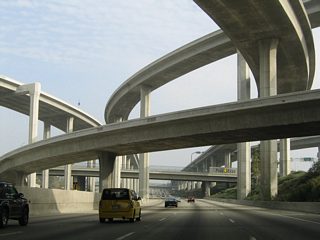
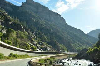
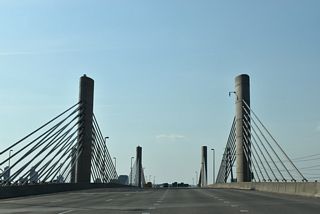
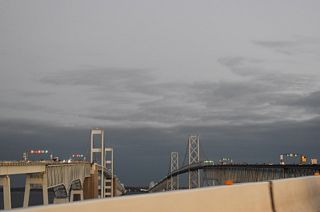
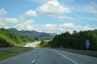
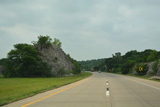
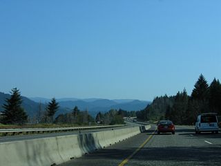
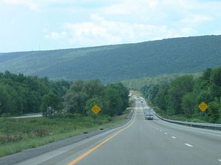
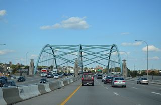
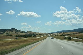
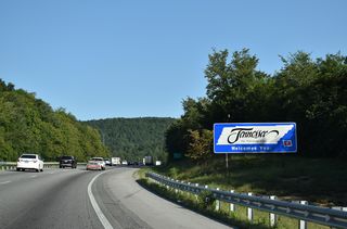
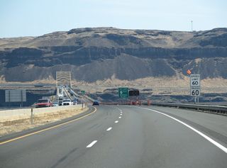
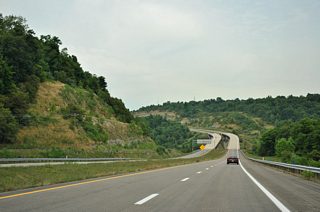
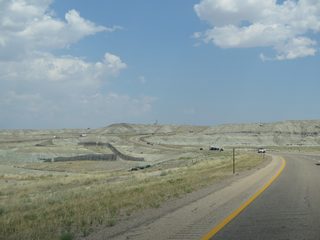
Our photo guides cover most Interstate Highways and many U.S. Routes, State Routes and County Roads across the 50 U.S. states, the District of Columbia and soon Puerto Rico. Guides are oriented by route, with photos ordered in the direction of travel. Some routes include both directions on a single page, while others separate east/west or north/south travel. Beltways and loops may use inner loop and outer loop orientations. Additions to the photo guides are listed on the updates page.
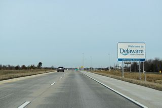
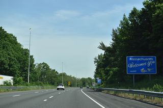
Guides covering limited access highways cover all the main exit signs, and generally supplemental signs if they represent a major sports/entertainment venue, a major university, or significant point of interest for a city or region. County lines, bodies of water, and major city limits are also photographed.
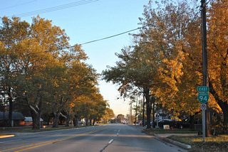
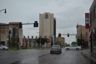
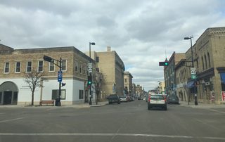
Guides of arterial routes, rural highways, city streets, and other non-freeways include photos of every reassurance marker, signalized intersection (with the exception of shopping center entrances), body of water, city limits signage, county line sign, and signs for significant points of interest such as state parks.