

U.S. Highway 84 West - Lubbock to Littlefield
| U.S. 84 West | ||
|---|---|---|
 |
 |
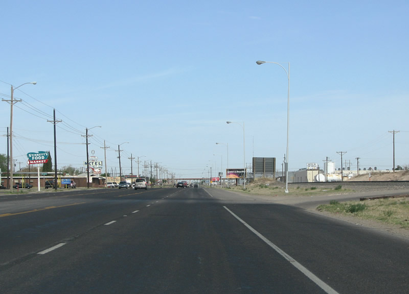 |
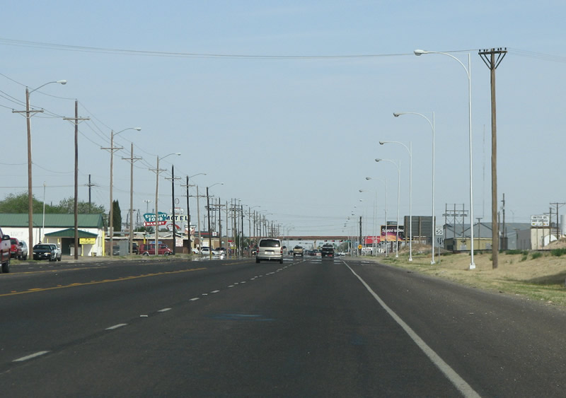
| In Lubbock, the hub city, US 84 forms the northwestward spoke. Known in town as the Clovis Highway, it's got a very industrial look to it. | ||
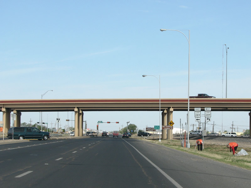 |
US 84 leaves Lubbock proper when it crosses under Loop 289, which encircles the city in a freeway loop. Photo taken 04/19/08. |
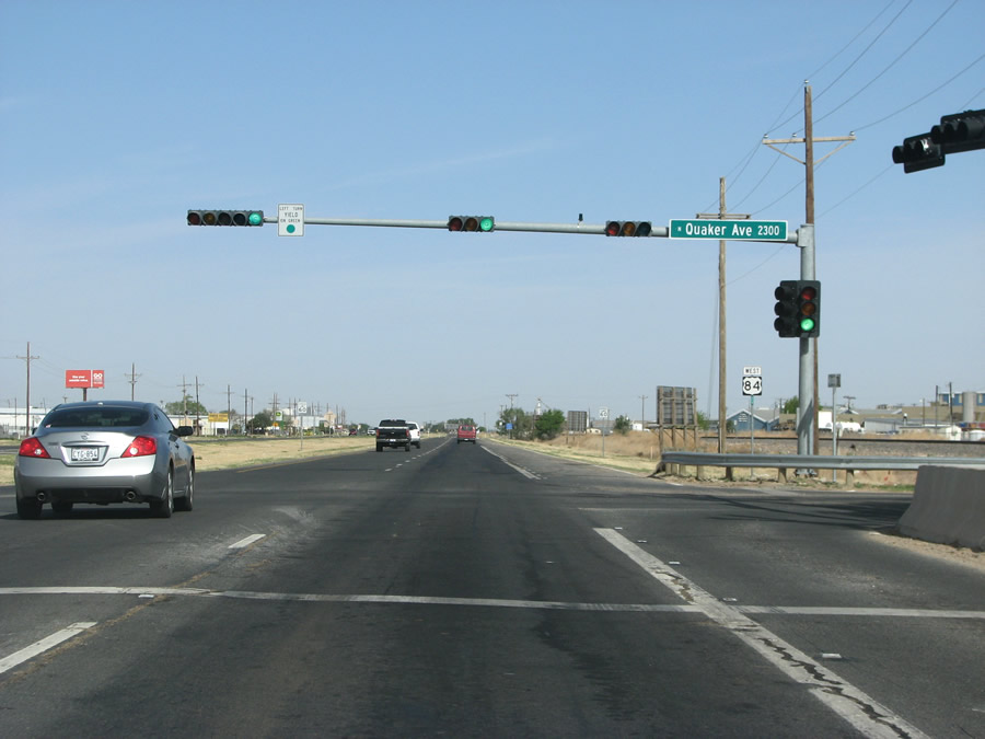 |
Quaker Avenue is a major north/south arterial route in Lubbock and contains much of the city's chain restaurants and retail further south. Photo taken 04/19/08. |
 |
Not far past Loop 289, the city limits end. Photo taken 04/19/08. |
 |
FM 2528 is Frankford Avenue, a north/south arterial that marks the western end of Lubbock's sprawl. Photo taken 04/19/08. |
 |
This view looks northwest at a US 84 reassurance marker west of Frankford. Photo taken 04/19/08. |
 |
FM 2641 is met almost immediately after Frankford, and is an east/west route through the south plains. Photo taken 04/19/08. |
 |
Shallowater is the first town encountered past Lubbock and is one of the city's wealthier suburbs. Photo taken 04/19/08. |
 |
Loop 388 is actually the old route of US 84, and forms the business route into the center of Shallowater. Today, US 84 generally bypasses the town. Photo taken 04/19/08. |
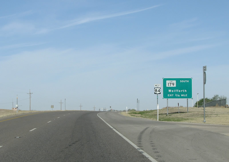 |
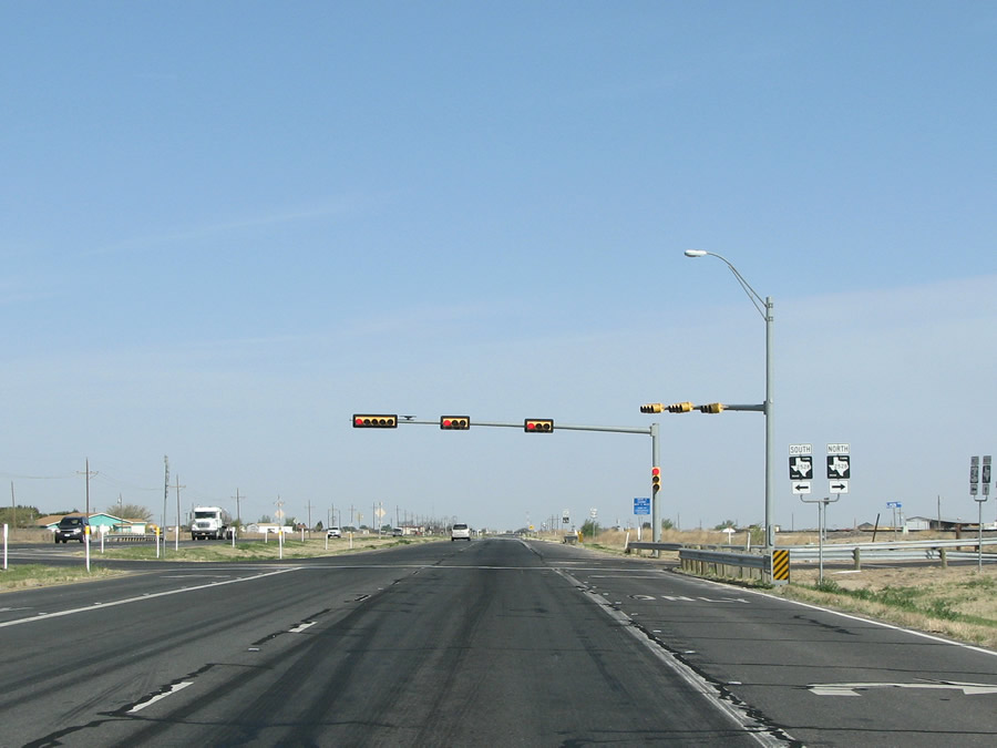
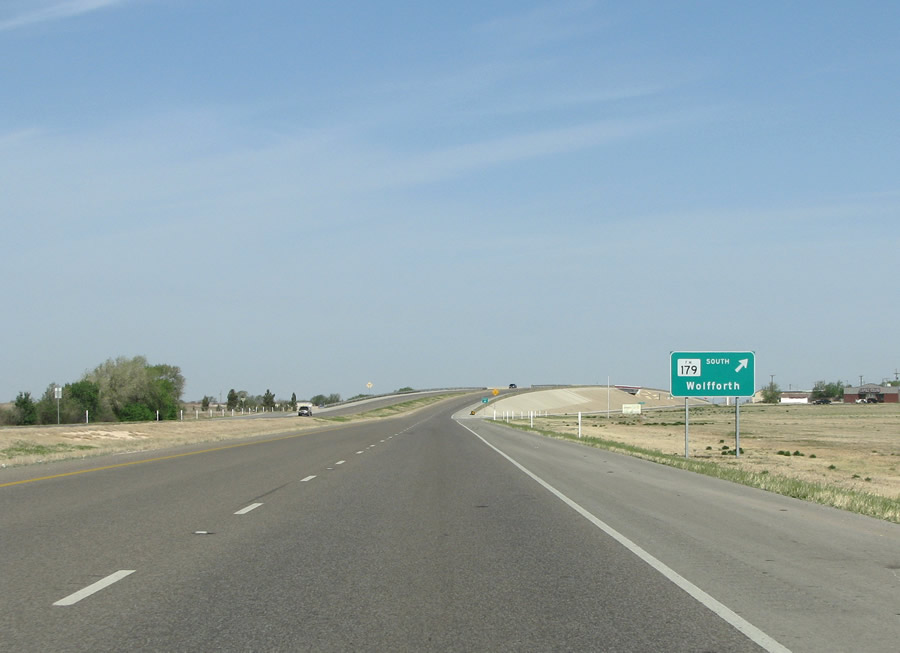
The main intersection that US 84 sees in Shallowater is for FM 179. FM 179 runs over 100 miles from Lamesa in the south to Hale County in the north. Photo taken 04/19/08. |
 |
Shallowater began in the 1920s as a farm service center, and expanded greatly in the 80s with people moving out from Lubbock. Photo taken 04/19/08. |
 |
The barren landscape opens up as the driver gets further from Lubbock and Shallowater. This photo looks at US 84's intersection with FM 1294 on the north side of town. Photo taken 04/19/08. |
 |
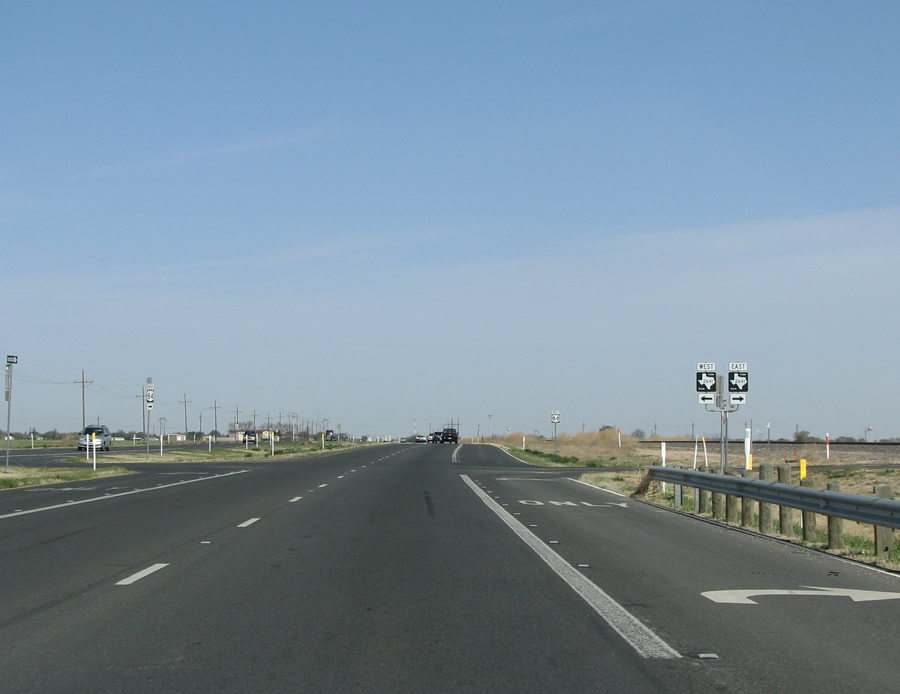
North of Shallowater US 84 has a short overlap with FM 179. Photo taken 04/19/08. |
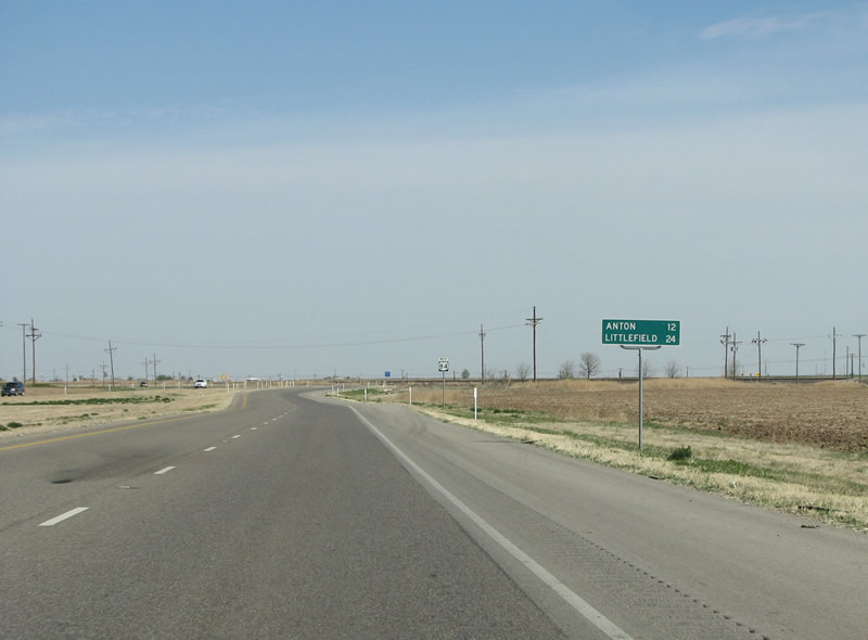 |
The place of any population, Anton, is 12 miles distant - but there are no services there. Photo taken 04/19/08. |
 |
Another US 84/FM 179 reassurance marker. Photo taken 04/19/08. |
 |
4 miles north of Shallowater, FM 179 returns to its northerly route. Photo taken 04/19/08. |
 |
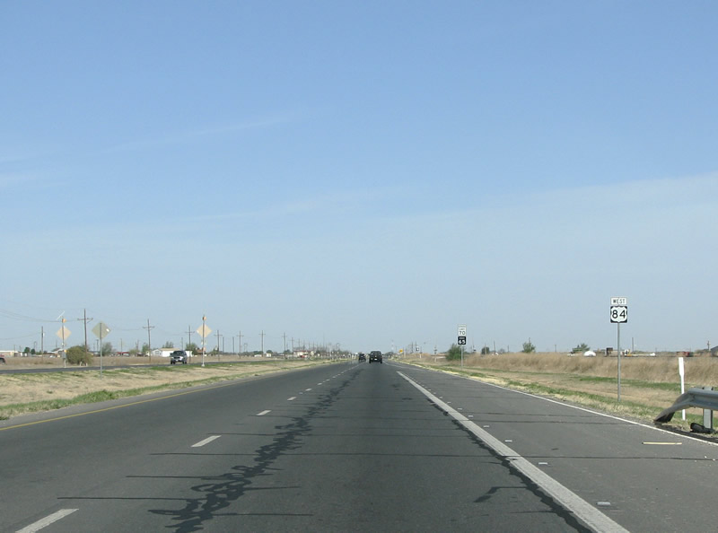
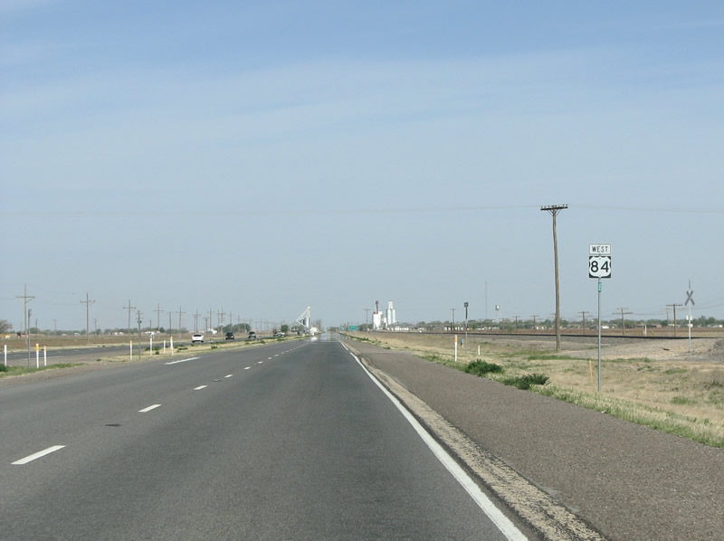
A US 84 westbound reassurance marker north of Shallowater. The landscape here is almost entirely barren and flat, punctuated with irrigated farm fields that generally grow cotton. Photo taken 04/19/08. |
 |
FM 2378 ends here, and continues south through the plains to SH 114 and Lubbock's west side. Photo taken 04/19/08. |
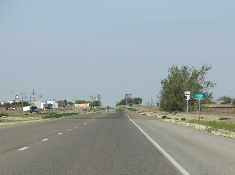 |
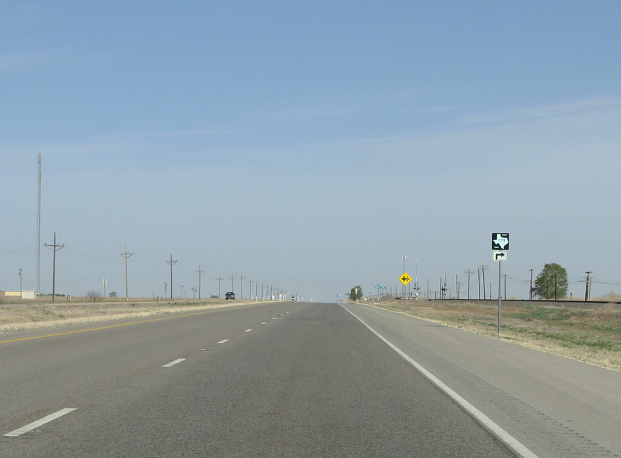
Here, US 84 leaves Lubbock County for Hockley County. The county was administratively formed in 1876, but so few people moved in it was not given home rule until 1920. Photo taken 04/19/08. |
 |
Here at FM 2130, sits the community of Roundup (population 20). The town began in 1912 as a rail switch used for shipping cattle, hence the name. Photo taken 04/19/08. |
 |
A US 84 reassurance marker, with a view of Anton in the distance. Photo taken 04/19/08. |
 |
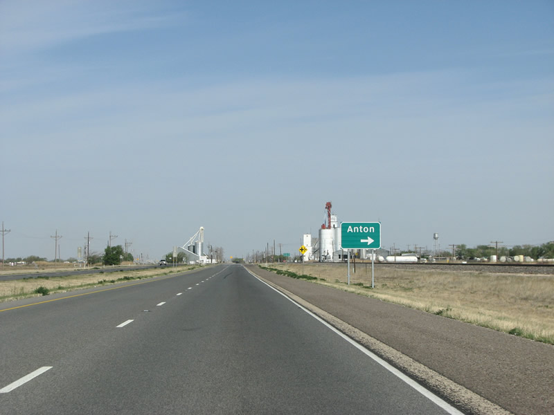
This sign is the first marker of the community of Anton, population 1200. Photo taken 04/19/08. |
 |
Anton sits on the north side of US 84. The town was named for a railroad executive who helped sell the railroad land to a townsite company. Anton was founded on December 3, 1924 when a land sale jubilee party took place despite a sandstorm. 200 lots were sold. Photo taken 04/19/08. |
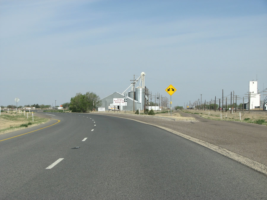 |
The old route of US 84, now a street in town, splits off as the new route of US 84 bypasses the populated area. Photo taken 04/19/08. |
 |
Much of Anton is populated by rusting farm equipment as this view shows. Photo taken 04/19/08. |
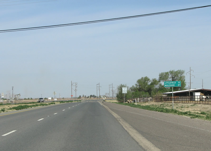 |
The regional center of Littlefield is 12 miles distant. Photo taken 04/19/08. |
 |
Lamb County marks the southern end of the panhandle. The county was named for Texas revolutionary figure George A. Lamb. Photo taken 04/19/08. |
 |
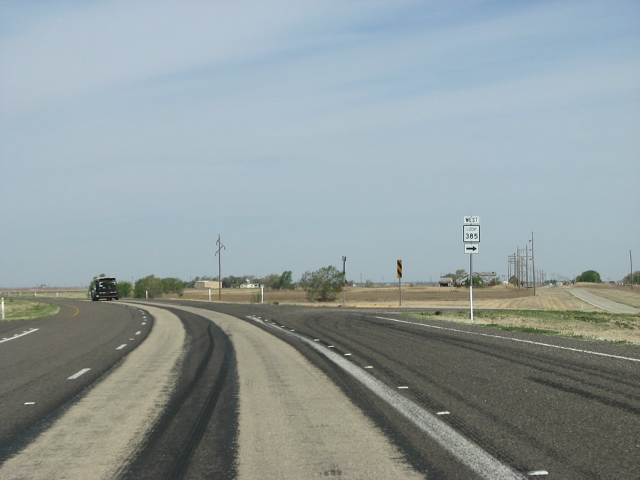 |
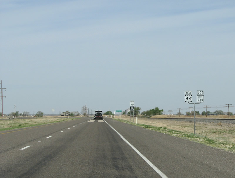
Loop 385 is a short mile long route that follows the old route of US 84 through the community of Bainer. Photo taken 04/19/08. |
 |
Currently, Bainer has a population of about 10 people. It was originally called Yellow House Switch when it was a service center for the sprawling XIT ranch. Photo taken 04/19/08. |
 |
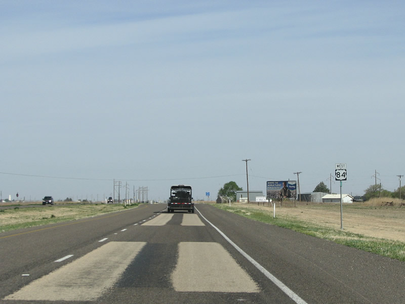
Littlefield appears on the horizon but the scenery is very monotonous. Photo taken 04/19/08. |
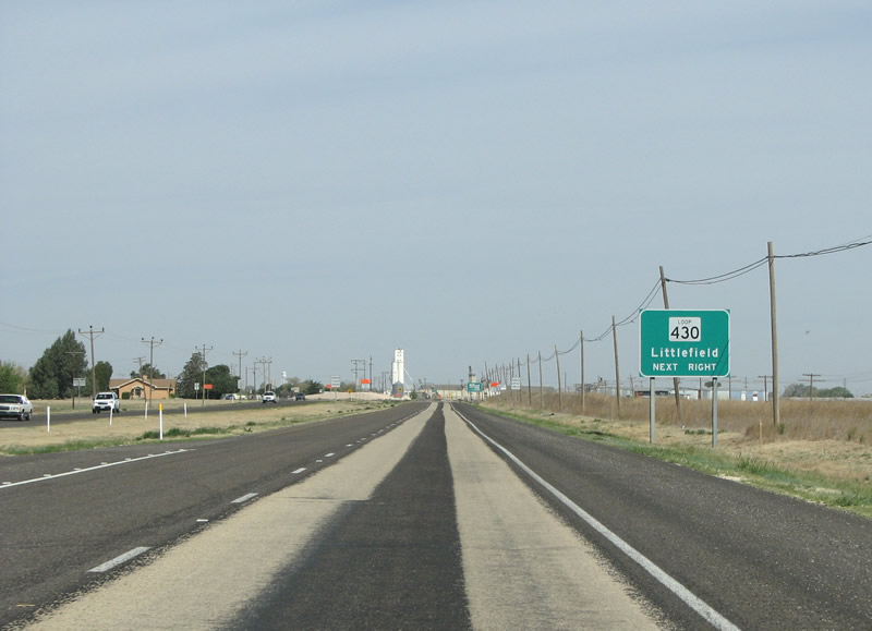 |
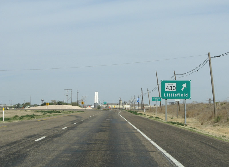
Loop 430 runs straight ahead and forms the old route of US 84 as the current route bypasses Littlefield. Photo taken 04/19/08. |
 |
The southern end of Loop 430 has an exit, but is not grade separated. Southbound traffic on the loop has to stop at a stop sign. Photo taken 04/19/08. |
 |
Littlefield is the county seat, and only dates from 1913 when ranch owner George W. Littlefield broke up lots from his Yellow House Ranch. Photo taken 04/19/08. |
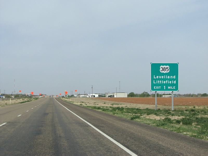 |
The major north/south route through town is US 385, this view looks west towards the exit from US 84. Photo taken 04/19/08. |
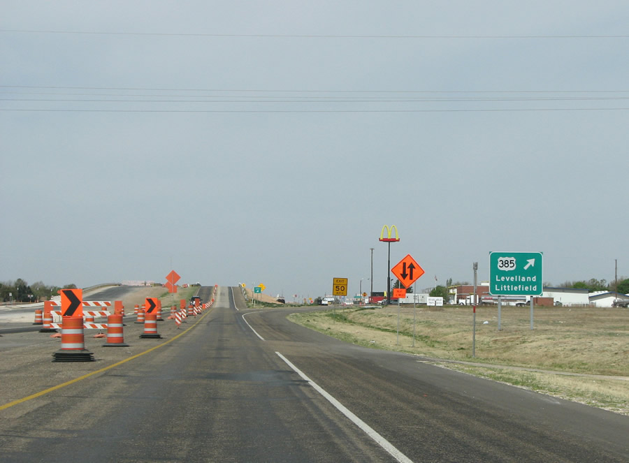 |
When this photo was taken, US 84 was being resurfaced through Littlefield and traffic was down to a single lane in each direction. US 84 meets US 385 at a diamond interchange on the south side of town. US 385 runs from the Big Bend National Park in West Texas all the way up to Deadwood, South Dakota. Photo taken 04/19/08. |
 |
Most of Littlefield's chain retail and restaurants are located at this intersection. Littlefield has about 6500 but is the hometown of singer Waylon Jennings and Broadway playwright Tom Jones. Photo taken 04/19/08. |
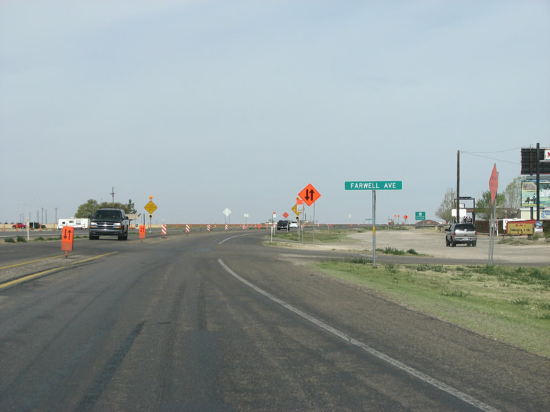 |
Through Littlefield, US 84 meets some city streets, all are well signed. Photo taken 04/19/08. |
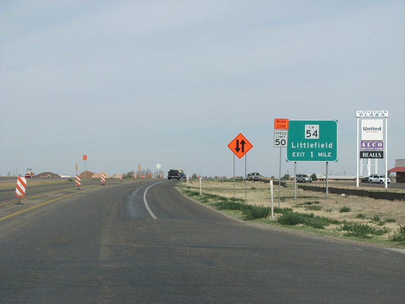 |
The second diamond interchange at Littlefield is at FM 54 on the west side of town. Photo taken 04/19/08. |
 |
FM 54 runs east through the center of town, and continues east to IH 27 and eventually US 62. Photo taken 04/19/08. |
Page Updated August 21, 2008.
|
About Contact FAQ |
Spotlights Testimonials Interstate Guide |
Social Media:
 |
|
© 2000-23 AARoads.com | All Rights Reserved | Privacy Policy / Terms of Use
|
||