

U.S. Highway 180 West - Stephens County
02/13/09 photos taken by Justin Cozart.
| U.S. 180 West | |
|---|---|
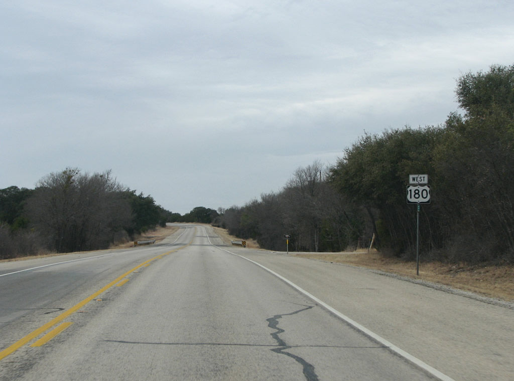 |
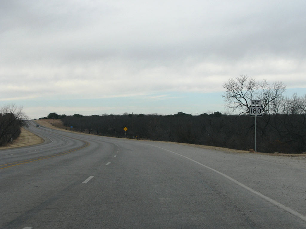
US 180 traverses the flat plains as a two-lane road with little traffic. Photo taken 02/13/09. |
 |
The only town before Breckenridge is the village of Caddo. Loop 252, an old routing of the US highway, runs north through the older portion of the town. Photo taken 02/13/09. |
 |
US 180 at Caddo. The population today is estimated at 40 people, but in 1917 there were about 1,000 people here due to the discovery of oil nearby. Photo taken 02/13/09. |
 |
US 180 westbound at Loop 252 on the east side of Caddo. Photo taken 02/13/09. |
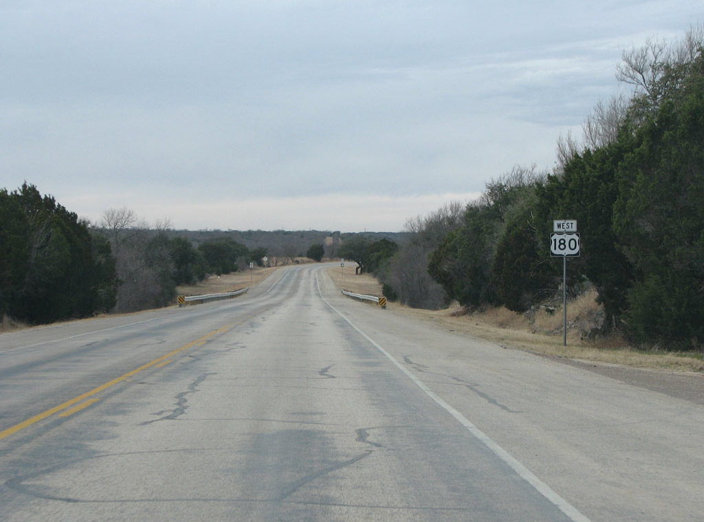 |
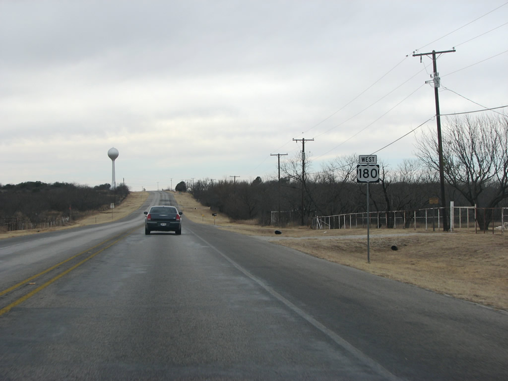
A US 180 reassurance marker south of Caddo. Photo taken 02/13/09. |
 |
 |
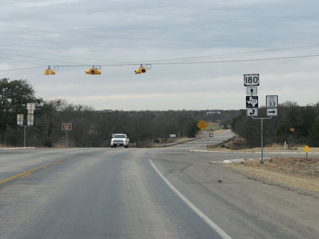
US 180 nears FM 717 here. The FM road runs south to Ranger, in the next county, and eventually to IH 20. US 180 forms a parallel route to IH 20 west of DFW and north of Abilene. Many of the FM roads and highways it meets eventually run south to the interstate. Photos taken 02/13/09. |
 |
Caddo is the gateway to the Possum Kingdom State Park, a popular resort area, located just to the north. Photo taken 02/13/09. | |
 |
Park Road 33 runs north to the state park and the lake, a distance of 17.1 miles. Photo taken 02/13/09. |
 |
US 180 has a brief overlap with FM 717, as it continues north. Photo taken 02/13/09. |
 |
 |
Loop 252 re-enters the scene here as it has gone through Caddo and meets US 180 again west of the town. Drivers on the US highway see nothing of the tiny community. Photos taken 02/13/09. |
 |
US 180 briefly gets four lanes here west of Caddo. Photo taken 02/13/09. | |
 |
 |
FM 717 continues north from here, and eventually meets SH 67 northeast of Breckenridge. Photos taken 02/13/09. |
 |
Still 4 lanes, this mileage sign indicates just 14 more miles to the county seat. Photo taken 02/13/09. |
 |
FM 207 is a long FM road, and runs south and east of here to SH 16 near Strawn and IH 20. Photo taken 02/13/09. |
 |
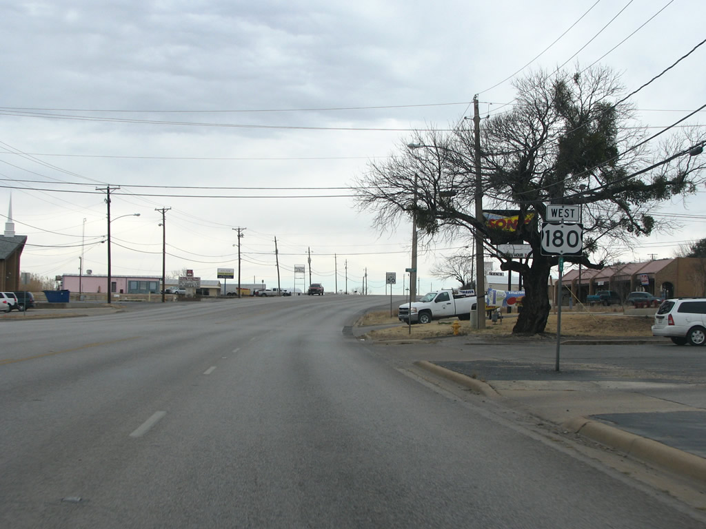
A US 180 westbound reassurance marker just east of Breckenridge. Photo taken 02/13/09. |
 |
As US 180 enters town, SH 67 is encountered and the speed limit drops from 70 to 55. Photo taken 02/13/09. |
 |
SH 67 is short, for a two-digit state highway, and simply connects Breckenridge and US 180 with Graham and US 380 in the next county to the north. Photo taken 02/13/09. |
 |
Breckenridge was started in the 1850s and named for vice president John C. Breckinridge, although the spelling of the name was altered. The town remained small until 1920 when an oil boom caused the population to reach upwards of 30,000 residents. Today there are about 6,000 people remaining in the area. Photo taken 02/13/09. |
 |
FM 287 runs north from town through farmland and ranches. Downtown Breckenridge is visible in the distance. Photo taken 02/13/09. |
 |
US 180 through town has four lanes and only a few lights. Photo taken 02/13/09. |
 |
US 180 meets US 183 here in Breckenridge. The taller building in the background is a bank tower, and the tallest structure in Breckenridge. Photo taken 02/13/09. |
 |
Just east of the square, US 180 meets US 183. US 183 is a north/south route that runs south to Austin, IH 35, IH 10, and to near Corpus Christi. Photo taken 02/13/09. |
 |
US 180 is paved with bricks in downtown Breckenridge, as it passes the courthouse and other county offices. Photo taken 02/13/09. |
 |
Most of Breckenridge has sprawled to the west, and that side of town is where most chain businesses are. This view looks west past the courthouse square. Photo taken 02/13/09. |
 |
FM 3099 runs north from here and forms the dam road of Hubbard Creek Reservoir, a large lake that sits northwest of Breckenridge. Photo taken 02/13/09. |
 |
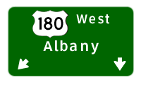
Albany, the next county seat, is 21 miles distant. Photo taken 02/13/09. |
 |
FM 2231 is a road that runs to the nearby lake, and continues south from here through ranching country. Photo taken 02/13/09. |
 |
For a few miles west of Breckenridge, US 180 keeps up four lanes. These end, however, before it reaches Hubbard Creek Reservoir. Photo taken 02/13/09. |
 |
Hubbard Creek Lake was impounded in 1962 and provides water mainly for Abilene, but also for other cities in the region. Photo taken 02/13/09. |
 |
 |
FM 3201 is a short secondary state road that runs along the western side of the lake connecting marinas, houses, and other lake properties. Photos taken 02/13/09. |
 |
A US 180 westbound reassurance marker west of Hubbard Creek Reservoir. Photo taken 02/13/09. |
 |
Just west of the lake, US 180 enters Shackelford County. The county was named for Texas revolutionary war hero Dr. Jack Shackelford. There were no towns when the county was created in the 1870s so a military fort became the temporary seat. The seat moved to Albany in 1884. Photo taken 02/13/09. |

Page Updated February 26, 2009.
|
About Contact FAQ |
Spotlights Testimonials Interstate Guide |
Social Media:
 |
|
© 2000-23 AARoads.com | All Rights Reserved | Privacy Policy / Terms of Use
|
||