

U.S. Highway 380 West - Haskell to Clairemont
| U.S. 380 west | |
|---|---|
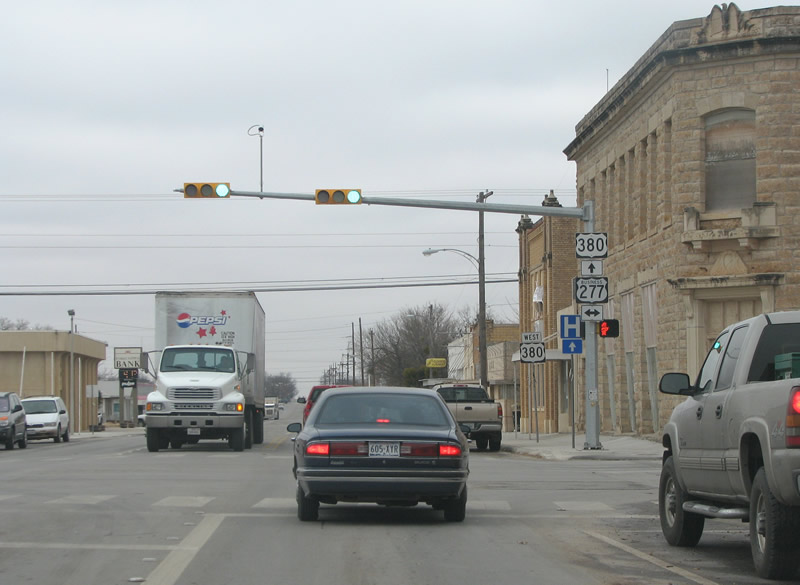
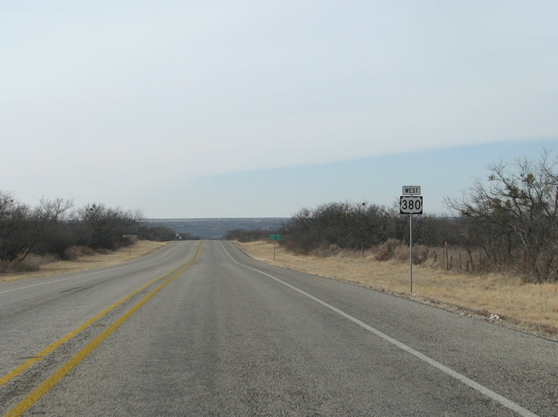
US 380 westbound at US 277 business. When US 277 was rerouted on the bypass, the old route became a business loop. Photo taken 01/25/08. |
|

The next town beyond Haskell is Rule. Rule was founded in 1903 and named for a railroad official. Photo taken 01/25/08. |
|

This view looks west on US 380 towards SH 6 in downtown Rule. With a population of only about 700, Rule's downtown consists of one block on each side of the road. Antique stores are plentiful here. Photo taken 01/25/08. |
|


A rare stop in this dusty section of Texas, US 380 traffic must stop at SH 6 in Rule. SH 6 is one of the longest and most important state highways here, and runs south to the coast near Galveston. Photo taken 01/25/08. |
|

FM 617 begins here on the west side of Rule and continues north and east to US 277 at Weinert. Photo taken 01/25/08. |
|

US 380 westbound on the west side of Rule. Photo taken 01/25/08. |
|
US 380 west of Rule dips into an arm of the Brazos River valley, with more evergreen trees and thicker scrub Photo taken 01/25/08. |
|

The next square county past Haskell is Stonewall, named for confederate general Stonewall Jackson. Photo taken 01/25/08. |
|
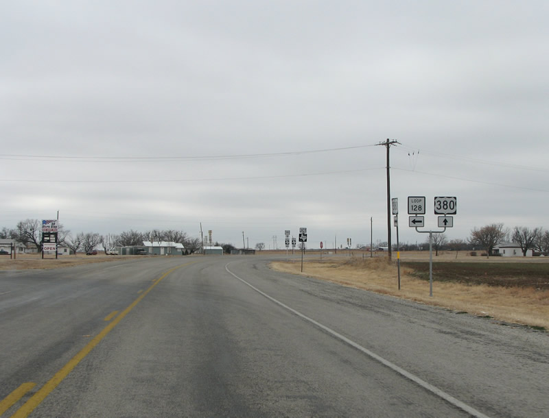
The first town in Stonewall County is Old Glory, which is connected to US 380 via Loop 128. Photo taken 01/25/08. |
|

Also at Old Glory, US 380 meets FM 1835. The town was founded by German settlers and originally called New Brandenburg. It was renamed Old Glory during the anti-German cultural backlash during World War I. Photo taken 01/25/08. |
|

West of Old Glory, US 380 meets SH 283. SH 283 runs southeastward to Stamford and SH 6. Photo taken 01/25/08. |
|

Aspermont is the county seat of Stonewall County. Upon entering town, the speed limit drops to 55 mph and then lower. Photo taken 01/25/08. |
|

FM 3457 is the first state road encountered in town. The FM road is very short and forms a bypass of the town to the east. Photo taken 01/25/08. |
|

Nearing town, this sign indicates the imminent arrival of US 83, which has come north from Abilene. Photo taken 01/25/08. |
|
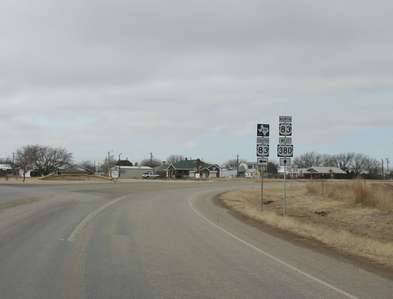
South of Aspermont, the motorist can take US 83 south to Hamlin and Abilene, or continue north into the town center. Photo taken 01/25/08. |
|

This view looks northward along the US 380/83 overlap headed north into Aspermont. Photo taken 01/25/08. |
|

Aspermont is a small town, with a population of about 1,000. Platted in 1889, Aspermont is Latin for "rough mountain". Photo taken 01/25/08. |
|

In town, there are no stops - although there is a flashing yellow light northbound at FM 1263. Photo taken 01/25/08. |
|

The next town is Jayton, just into the next county. US 83 runs northward to Guthrie and US 82. Photo taken 01/25/08. |
|

US 380 makes a brief jaunt northward with US 83, before the latter route moves off to the right. Photo taken 01/25/08. |
|

At the split, US 83 southbound traffic must stop, while US 380 traffic continues on northward and westward. Evidently, there are no directional banners. Photo taken 01/25/08. |
|

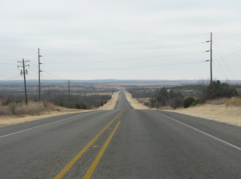
North of Aspermont, the road goes back to a sleepy stretch through very sparse country, with little traffic and even fewer permanent settlements. Photo taken 01/25/08. |
|

Swenson is the next populated place west of Aspermont. The town was named for Swante Swenson, an early rancher, and was laid out in 1910. Currently, there are about 185 residents. Photo taken 01/25/08. |
|

At Swenson, FM 1646 runs northward through cattle country for about 10 miles. Photo taken 01/25/08. |
|

In western Stonewall County, the land dips into another arm of the upper Brazos Valley. This view looks towards the valley before FM 2211. Photo taken 01/25/08. |
|

US 380 westbound at FM 2413 in western Stonewall County. Photo taken 01/25/08. |
|
A US 380 westbound reassurance marker in Stonewall County, Texas. Photo taken 01/25/08. |
|

Some miles of the mainline of the US highway are visible as the road dives into the Brazos Valley. This particular arm carries the Salt Fork of the Brazos River. Photo taken 01/25/08. |
|
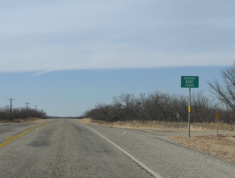
The next county encountered along US 380 is Kent. The county was created in 1876 and named for Andrew Kent, a casualty of the Alamo. Photo taken 01/25/08. |
|
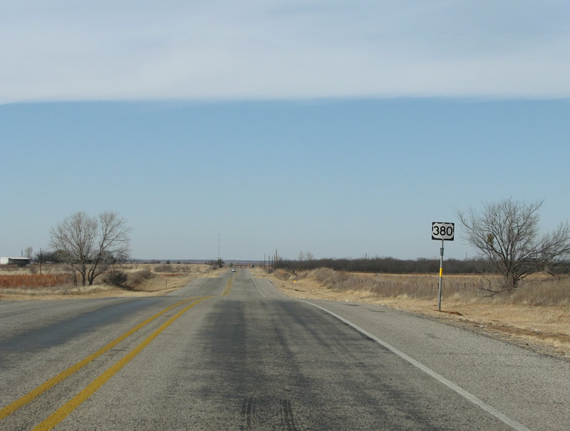
A US 380 westbound reassurance marker west of the Kent County line, there is no directional marker here. Photo taken 01/25/08. |
|

Almost immediately in the county, SH 70 is encountered. Photo taken 01/25/08. |
|
As US 380 encounters SH 70 south of Jayton, signs indicate towns served by the various routes. US 380 never actually enters Jayton, but runs just south of it. Photo taken 01/25/08. |
|

A view of US 380 westbound at SH 70 south of Jayton. Photo taken 01/25/08. |
|

Traffic on US 380 must stop at SH 70 at a stop sign, and turn left to continue along the US highway. Photo taken 01/25/08. |
|

After a brief overlap, SH 70 continues southward. SH 70 runs 315 miles from the upper Panhandle southward to IH 20 and Coke County. Photo taken 01/25/08. |
|

Once again alone, US 380 continues westward. This view looks west just past SH 70. Photo taken 01/25/08. |
|

The only other populated place in Kent County is Clairemont and that is not saying much. Photo taken 01/25/08. |
|
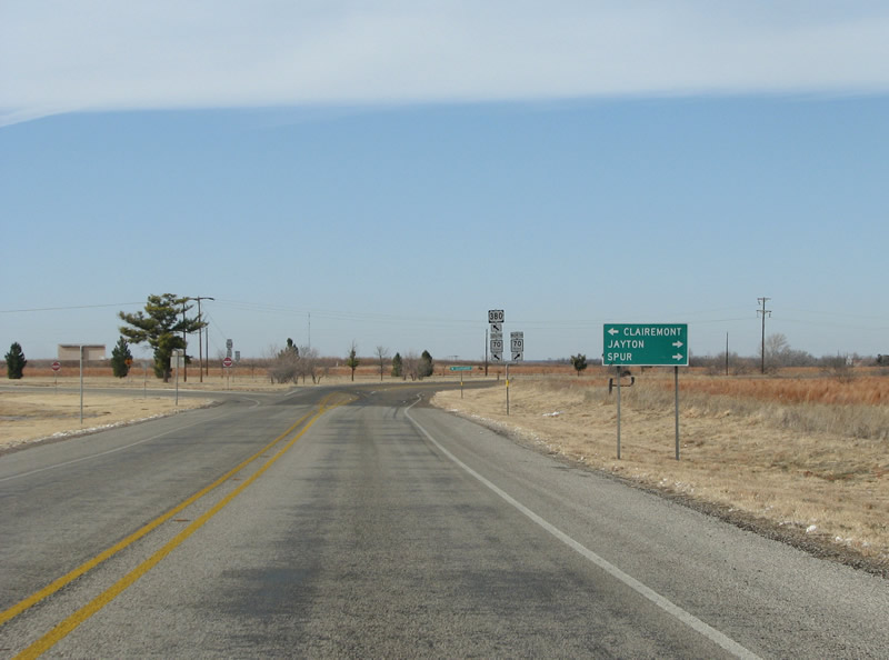
At Clairemont, US 380 encounters SH 208. Clairemont was named the county seat by virtue of a Texas law that stated all county seats must be within a certain number of miles near the center of the county. However, because no one ever really moved there, the county seat was moved to Jayton in 1954 after a court battle. Photo taken 01/25/08. |
|

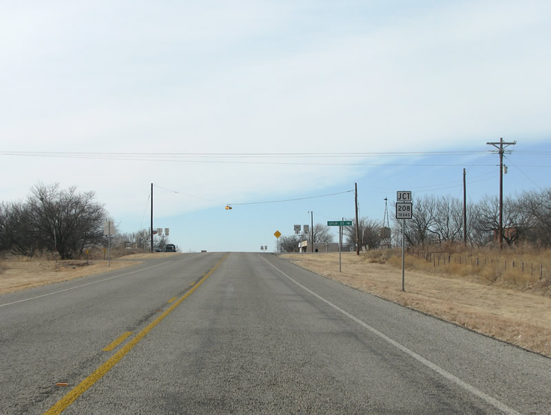
US 380 westbound at SH 208. SH 208 runs north to SH 70 and Spur. Photo taken 01/25/08. |
|


Page Updated February 9, 2008.
|
About Contact FAQ |
Spotlights Testimonials Interstate Guide |
Social Media:
 |
|
© 2000-23 AARoads.com | All Rights Reserved | Privacy Policy / Terms of Use
|
||