
Prichard, AL
Overview
The city of Prichard is located on the north side of Mobile in Lower Alabama. Incorporated in 1925, the 25 square mile municipality mostly consists of residential streets, with an older business district centered around Wilson Avenue and Main Street. The Prichard city limits spread far to the north through rural areas along U.S. 45 to Kushla. Population numbers have steadily declined since 1960, with a loss of 25,000 residents by the 2010 census.
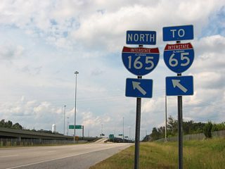
Interstate 65 angles northeast across Prichard from U.S. 45 (St. Stephens Road) to Interstate 165 and the Chickasaw city line. I-165 spurs southeast by the city center to the Alabama State Docks and Water Street in Mobile. U.S. 43 runs along the east side of Prichard, from U.S. 90 (Africatown Boulevard) north into Chickasaw. U.S. 45 extends northwest from Mobile through the height of Prichard en route to Citronelle in north Mobile County. U.S. 90 (Africatown Boulevard) straddles the Mobile and Prichard city line from its split with I-165 to the Cochrane-Africatown Bridge across the Mobile River.
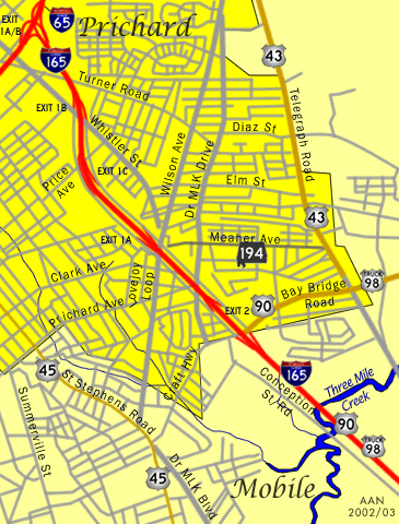
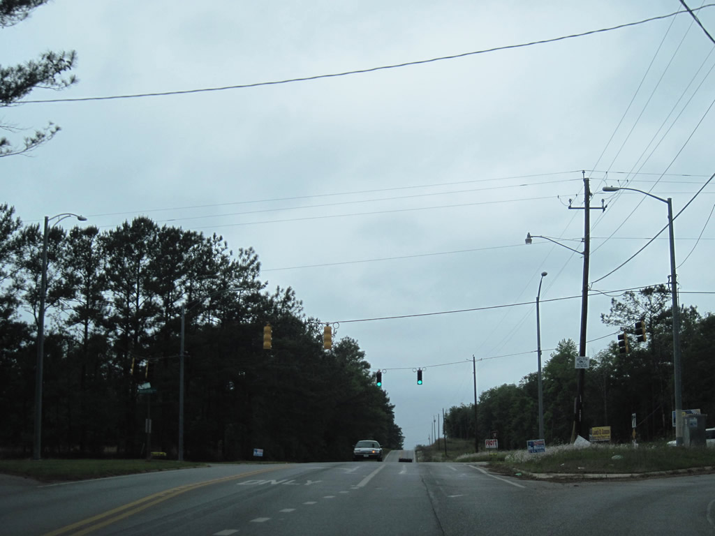
Alabama State Route 158 constitutes a four-lane expressway across northwest Prichard between County Route 31 (Newburn Road) and I-65 at Saraland. The route was extended west of U.S. 45 as part of the planned relocation of U.S. 98. Alabama 213 connects the Eight Mile community in Prichard with Saraland to the northeast along Shelton Beach Road. Alabama 217 (Lott Road) branches west from U.S. 45 at Eight Mile to northern reaches of Semmes and Georgetown.
Routes
 Telegraph Road
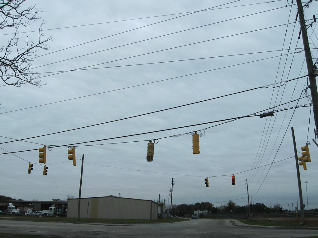
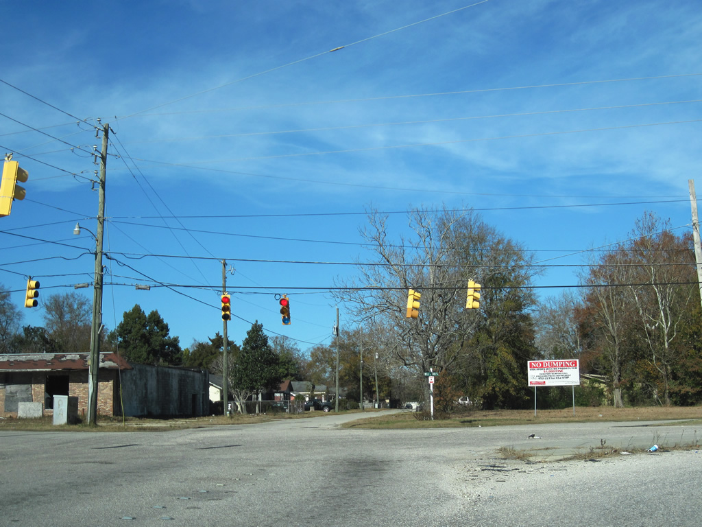
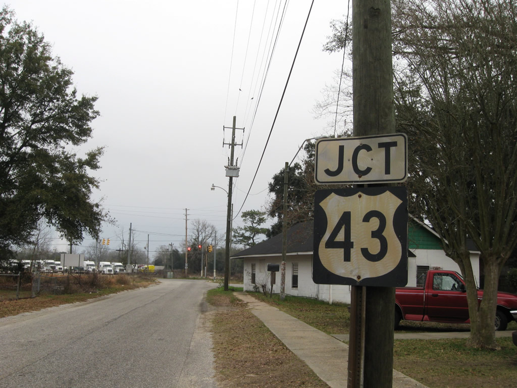
U.S. 43 follows Telegraph Road along the east side of Prichard, separating residential areas of Prichard with industrial areas along the parallel Norfolk Southern Railroad line. U.S. 43 ends at the grade separated intersection with U.S. 90/98 Truck (Africatown Boulevard) on the Mobile city line. A road diet made by 2017 restriped Telegraph Road from four lanes to two through lanes with a continuous center turn lane.
Prior to Fall 2001, U.S. 43 extended south from Prichard into Mobile, following Telegraph Road to Conception Street Road and the intersection of Beauregard and Water Streets. The Telegraph Road viaduct over the Alabama State Docks Railroad was demolished at the time, leading to the truncation of U.S. 43 northward to U.S. 90 at Bay Bridge Road.
 Saint Stephens Road
U.S. 45 (St. Stephens Road) branches northwest from U.S. 98 (Spring Hill Avenue) through Allenville and Toulminville in Mobile. U.S. 45 enters Prichard at Prichard Avenue and parallels the city line northwest to a six-ramp parclo interchange with Interstate 65. The four-lane commercial boulevard continues north to the Eight Mill community.
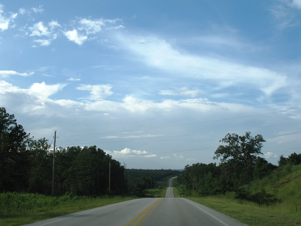
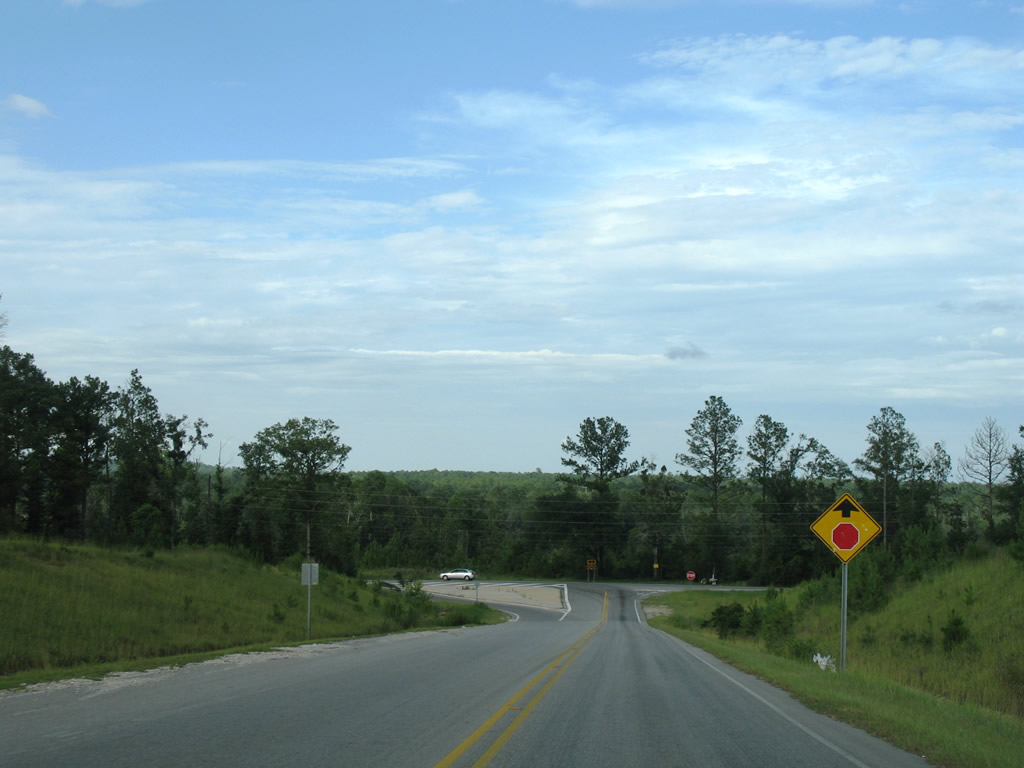
St. Stephens Road reduces to two lanes at Crystal Springs Road.U.S. 45 transitions into a rural highway from there and winds north to a diamond interchange with SR 158 and the community of Kushla before exiting the city.
 Africatown Boulevard / Bay Bridge Road
Formerly named Bay Bridge Road, Africatown Boulevard joins Craft Highway and I-165 with Telegraph Road (old U.S. 43) south to the Alabama State Docks, and the Cochrane-Africatown Bridge over the Mobile River. U.S. 90 and U.S. 98 Truck follow the arterial east to Blakeley Island and U.S. 98 at Battleship Parkway.
 Former Alabama Route 194 - Meaher Avenue
Alabama State Route 194 followed Meaher Avenue from Wilson Avenue (former U.S. 43, U.S. 43 Alternate, and SR 193) to U.S. 43 (Telegraph Road) through central Prichard. The west end of the street was demolished with construction of Interstate 165, with the street redirected northward onto Bernard Street.
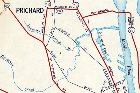
Alabama State Route 194 along Meaher Avenue in 1961
Craft Highway
Craft Highway is an urban arterial linking U.S. 45 (St. Stephens Road) and the north end of Martin Luther King, Jr. Avenue in Mobile with Africatown Boulevard and the I-165 frontage road system east of the Prichard city center. Craft Highway north from I-165 to Wilson Avenue at the Chickasaw city line was renamed Dr. Martin Luther King, Jr. Drive. Craft Highway resumes in name north from Wilson Avenue to U.S. 43 (Telegraph Road).
U.S. 43 is named for John Craft throughout the state of Alabama. Craft Highway south through Prichard and U.S. 45 in Mobile was the alignment of U.S. 43 in 1947. It was redesignated as U.S. 43 Alternate when U.S. 43 shifted east onto Telegraph Road.
Interstate 165 Frontage Roads
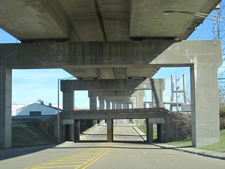
One-way frontage roads accompany both sides of the I-165 viaduct north from Africatown Boulevard at Exit 2 to Whistler Street at Exit 1 A. Opened in 1994, the two to three lane roads were built in conjunction with the freeway to link I-165 with the various cross streets in the city. Texas style U-turn ramps join the roadways at Africatown Boulevard, by Dr. Martin Luther King, Jr. Drive, Wilson Avenue and near Price Avenue.
Lovejoy Loop
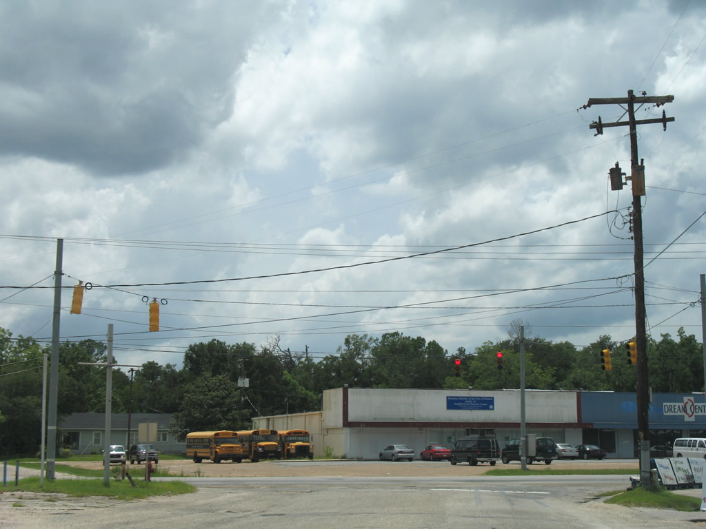
Lovejoy Loop encircles the Prichard business district along Wilson Avenue. The loop formed part of one-way couplet for Alabama State Route 193, before Wilson Avenue was built in between. The two to three lane loop was restriped for two-way traffic by 2011.
Main Street
Formerly a through street connecting the Prichard city center with U.S. 45 (St. Stephens Road) at Boaz Street, Main Street angles west from Prichard Avenue and City Hall and north below I-65 to end at Eightmile Creek.
Dr. Martin Luther King, Jr. Drive
Dr. Martin Luther King, Jr. Drive extends north from Craft Highway south and Bay Bridge Road east from central Prichard to Wilson Avenue at the Chickasaw city line. A local through road, MLK Drive was formerly a part of Craft Highway and the historic alignment of U.S. 43 north to Chickasaw and south to U.S. 43 at Toulminville in Mobile. Construction of Interstate 165 included a realignment of Bay Bridge Road to the south, shifting the through movement from Craft Highway at Conception Street Road, to Craft Highway north to Bay Bridge Road east.
Paper Mill Road
Paper Mill Road loops northwest from the industrial Magazine area by the Cochrane-Africatown Bridge to the intersection of U.S. 43 (Telegraph Road) and Diaz Street in Prichard.
Prichard Avenue
Prichard Avenue angles northeast from Mobile Street to Toulmans Spring Branch and east to the Prichard city center and the A.J. Cooper Municipal Complex at Dr. Martin Luther King, Jr. Drive. Mobile Street south connects Prichard Avenue with the Crichton area of Mobile and U.S. 98 (Spring Hill Avenue).
Whistler Street
Whistler Street extends northwest from Elm Street as a collector route to Interstate 165 at Exit 1A and Shelton Beach Road (SR 213) at Eight Mile. Aldock Road stems northeast from Whistler Street to Chickasbogue Park.
Wilson Avenue
Wilson Avenue constitutes the main route north from U.S. 45 (St. Stephens Road) through the Prichard business district to U.S. 43 (Telegraph Road) in Chickasaw. The urban arterial represents the original route of U.S. 43 from its former overlap with U.S. 45 to Craft Highway through Chickasaw. When U.S. 43 shifted east to Telegraph Road, Wilson Avenue was redesignated Alternate U.S. 43. SR 193 followed Wilson Avenue from at least 1952 to 1977 as well.
Wilson Avenue used to split into a one-way street couplet utilizing the Lovejoy Loop through the Prichard city center. Sometime after 1977, Wilson Avenue was constructed between the loop as a continuous road.
City Streets and Roads
Bay Bridge Rd (12 photos)
Craft Hwy (6 photos)
I-165 Service Rd (7 photos)
Lovejoy Lp (8 photos)
Main St (6 photos)

Martin Luther King Dr (5 photos)
Paper Mill Rd (6 photos)
Prichard Ave (7 photos)
Wilson Ave (15 photos)
Other Roads (21 photos)
Other Roads
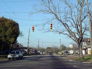
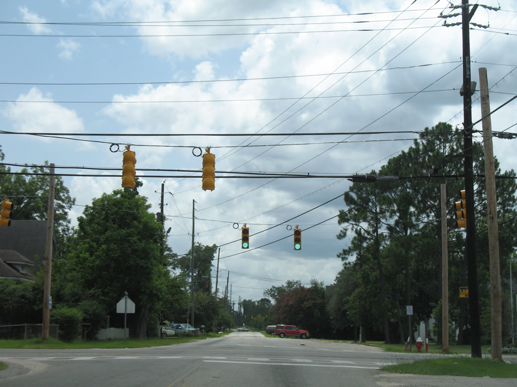
Bear Fork Road westbound at Shelton Beach Road. A set of flashers (often not functioning) hang above the rural area intersection. Bear Fork Road straddles the Mobile and Prichard city line west from Salem Street to Jarrett Road. 04/30/10
A set of flashers at University Boulevard south and Highpoint Boulevard north were upgraded to traffic lights by 2009 at Bear Fork Road. This stretch of University Boulevard is lightly traveled as compared to the busy arterial near the University of South Alabama and Cottage Hill Road. 04/30/10
Belcase Road extends Highpoint Boulevard north from SR 217 (Lott Road) to U.S. 45 south of Kushla in rural northwest Prichard. The two lane road opened by 2007. 07/17/07
The north end of Belcase Road at U.S. 45 near its diamond interchange with SR 158. No shields are posted on Belcase Road for the US highway. 07/17/07
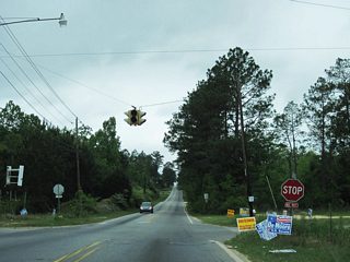
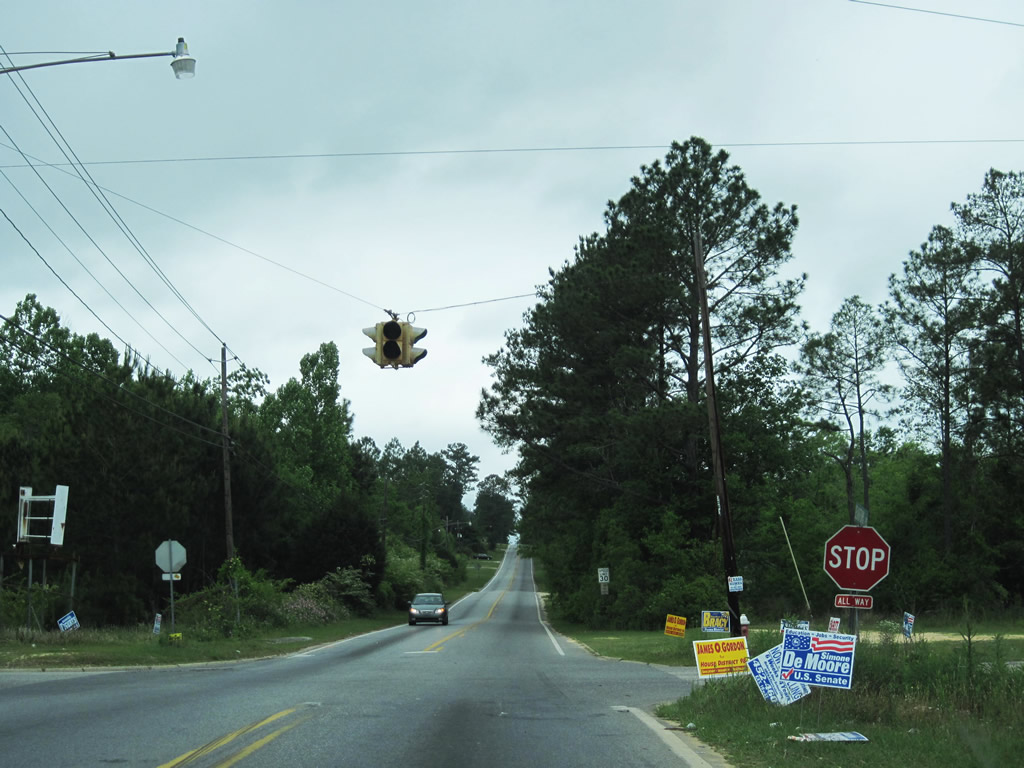
Branch Avenue joins West Main Street with U.S. 45 (St. Stephens Road) near Eight Mile Creek. A traffic light operates at the end of the connector road with St. Stephens Road. 07/17/07
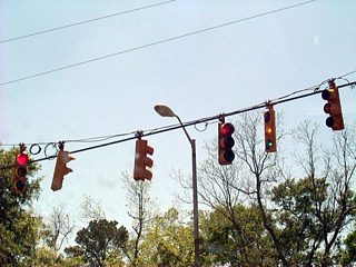
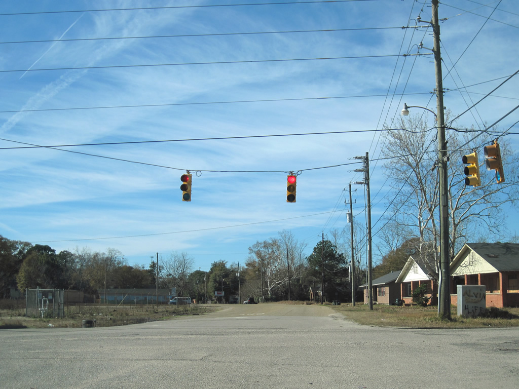
The five-point intersection between Grover Avenue, old Bay Bridge Road, and Willjohn Street once held more prominence in the Prichard traffic scheme. When new Bay Bridge Road opened to the south, old Bay Bridge Road was severed from Telegraph Road. The connection to Dr. Martin Luther King, Jr. Drive was also removed when Interstate 165 opened. This left the road for local use only, and its set of traffic lights with Grover and John Avenues obsolete. Rather than removing the signals, the city of Prichard instead permanently reset them into flash mode and they subsequently fell into disrepair.<br> Oddly enough, the signals were restored to operation just two weeks after we first visited the junction in late 2009... 12/17/09
The five-point intersection between Grover Avenue, old Bay Bridge Road, and Willjohn Street once held more prominence in the Prichard traffic scheme. When new Bay Bridge Road opened to the south, old Bay Bridge Road was severed from Telegraph Road. The connection to Dr. Martin Luther King, Jr. Drive was also removed when Interstate 165 opened. This left the road for local use only, and its set of traffic lights with Grover and John Avenues obsolete. Rather than removing the signals, the city of Prichard instead permanently reset them into flash mode and they subsequently fell into disrepair.<br> Oddly enough, the signals were restored to operation just two weeks after we first visited the junction in late 2009... 01/02/11
Approaching the historic east end of SR 194 on Meaher Avenue at U.S. 43 (Telegraph Road). 01/25/09
Old Bay Bridge Road west at Grover Avenue (north-south) and Willjohn Street east to Meaher Avenue (former SR 194). Most of the adjacent housing is either abandoned or in a state of disrepair. An industrial business or two still occupies parcels along old Bay Bridge Road, and the connection with Grover Avenue links them with U.S. 90 (Bay Bridge Road).<br> Note the restoration of the semi-abandoned traffic lights between December 2009 and January 2011. 12/17/09
Old Bay Bridge Road west at Grover Avenue (north-south) and Willjohn Street east to Meaher Avenue (former SR 194). Most of the adjacent housing is either abandoned or in a state of disrepair. An industrial business or two still occupies parcels along old Bay Bridge Road, and the connection with Grover Avenue links them with U.S. 90 (Bay Bridge Road).<br> Note the restoration of the semi-abandoned traffic lights between December 2009 and January 2011. 01/02/11
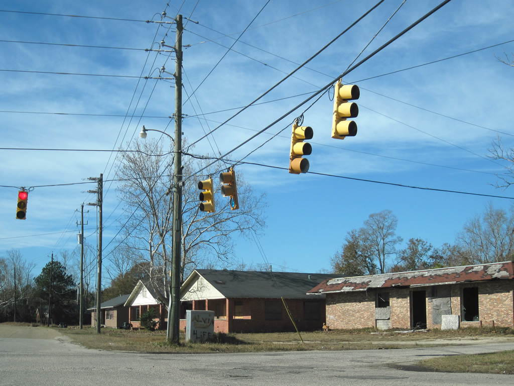
Old Bay Bridge Road west at Grover Avenue (north-south) and Willjohn Street east to Meaher Avenue (former SR 194). Most of the adjacent housing is either abandoned or in a state of disrepair. An industrial business or two still occupies parcels along old Bay Bridge Road, and the connection with Grover Avenue links them with U.S. 90 (Bay Bridge Road).<br> Note the restoration of the semi-abandoned traffic lights between December 2009 and January 2011. 01/02/11

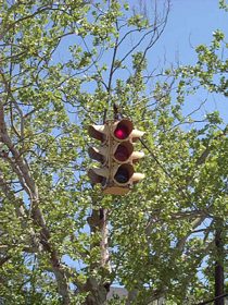
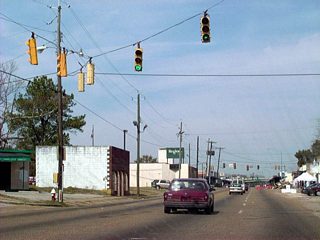
Removed by 2016, this vintage one-piece four-way flasher was located above the intersection of Shelton Beach Road and Myers Road to the southwest of Eight Mile. Shelton Beach Road Extension leads south to U.S. 98 (Moffett Road) in Mobile. Myers Road leads north to SR 217 (Lott Road) and south to Bear Fork Road. 07/17/07
Bear Fork Road straddles the Mobile and Prichard city line west from Salem Street across Shelton Beach Road to Jarrett Road. The east-west through road ends at U.S. 98 (Moffett Road) near Millers Park.<br /> This one-piece traffic signal was replaced by 2013. 07/17/07
Shelton Beach Road Extension continues the road south into the city limits of Mobile and crosses Eight Mile Creek within the passive Megginson Park. 07/17/07
Wasson Avenue links the cities of Chickasaw and Prichard via Thompson Boulevard Extension southward to Whistler Street. Whistler Street angles southeast to Elm Street and central Prichard and northwest to SR 213 (Shelton Beach Road). 07/17/07