
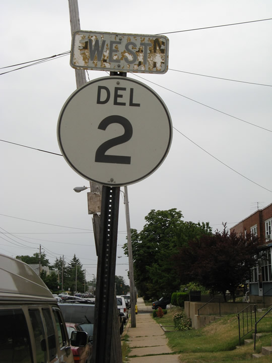
Delaware State Route 2

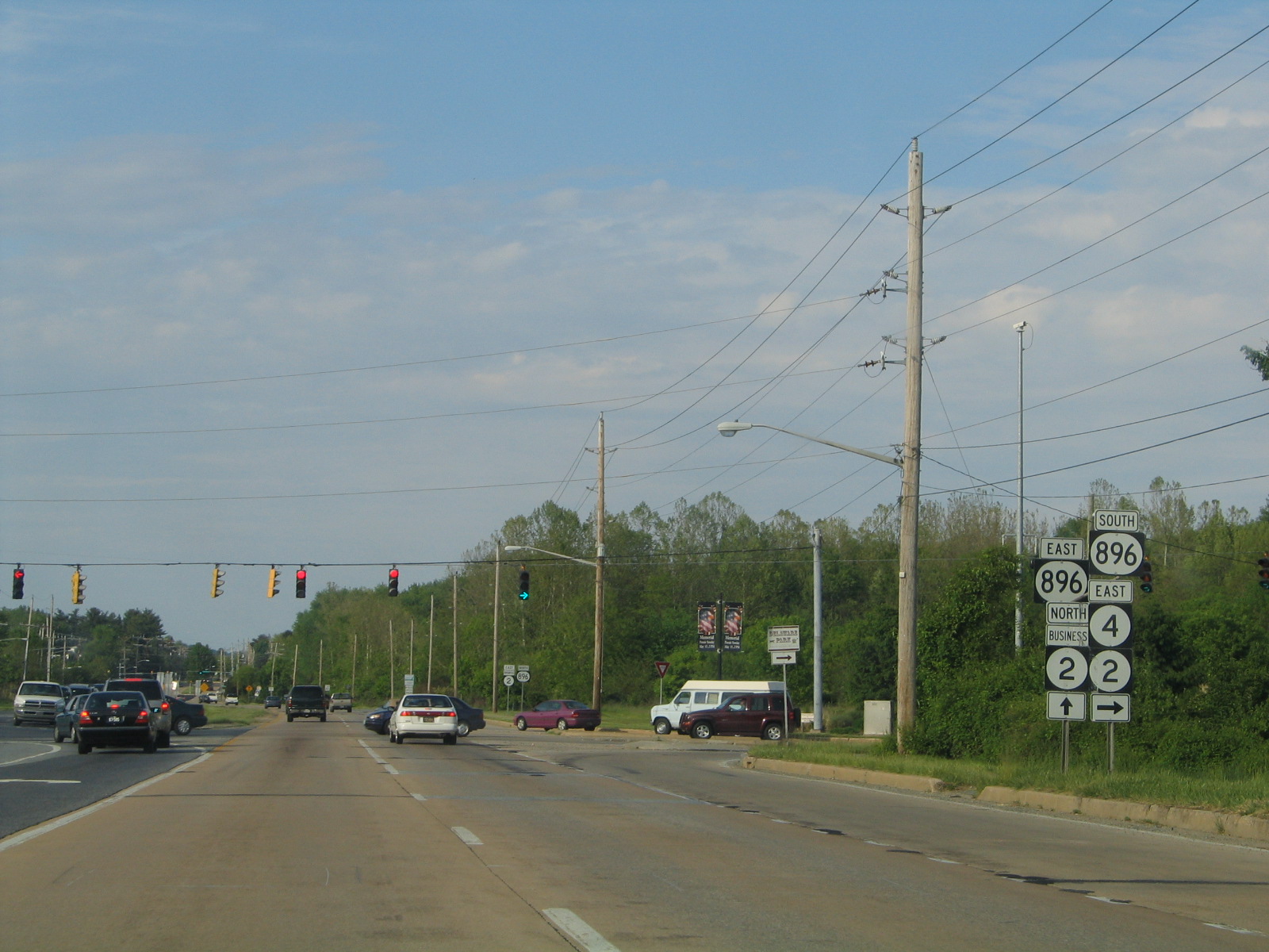
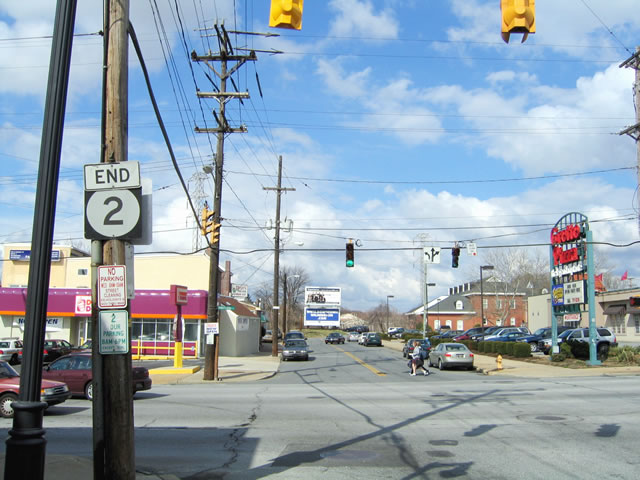
Elkton Road east at the west end of SR 4 and the turn of SR 896 south onto Christina Parkway. SR 2 previously overlapped with SR 4/896 east to bypass central Newark as SR 2 Business followed Elkton Road northeast to Downtown. 05/15/05

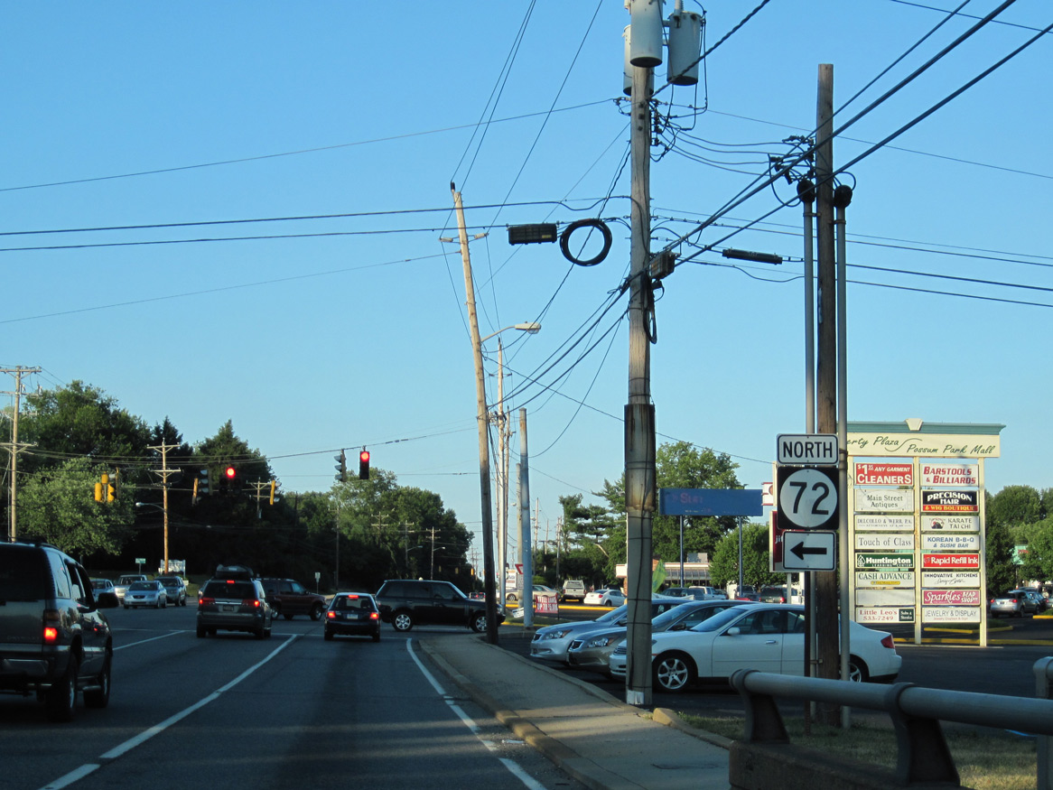
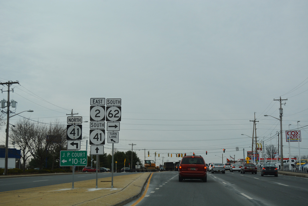
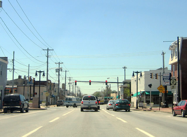
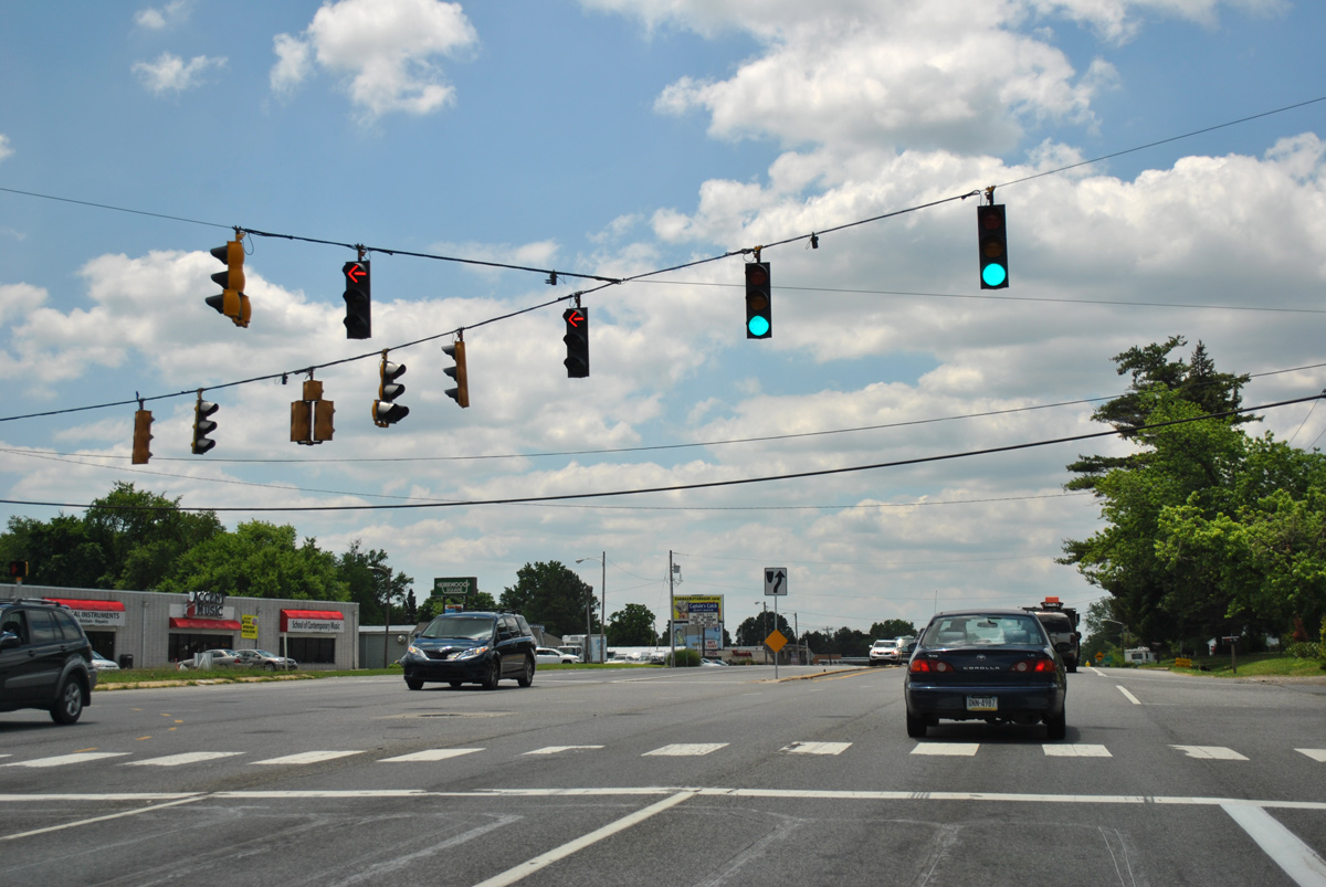
SR 2/4 eastbound split at SR 72 (South Chapel Street) just outside the Newark city limits. 04/17/04

SR 2 combined with SR 72 north along S Chapel Street and Library Avenue to SR 273 (Delaware Avenue) in east Newark. 06/18/12
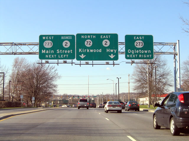
Installed around 1980, the only sign bridge in the city of Newark stands along Library Avenue where SR 2/72/273 previously overlapped to E Main Street, Kirkwood Highway and Ogletown Road. The panel for Main Street was greened out in 1988 to display SR 2 Business instead of SR 2 West. 03/28/04

During the Summer 2004, the overhead for SR 273/SR 2 Business west was replaced to include a trailblazer for the Newark Public Library. 08/31/04
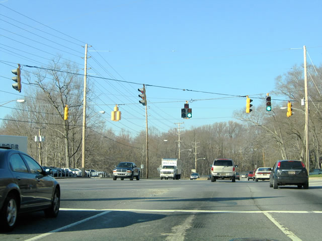
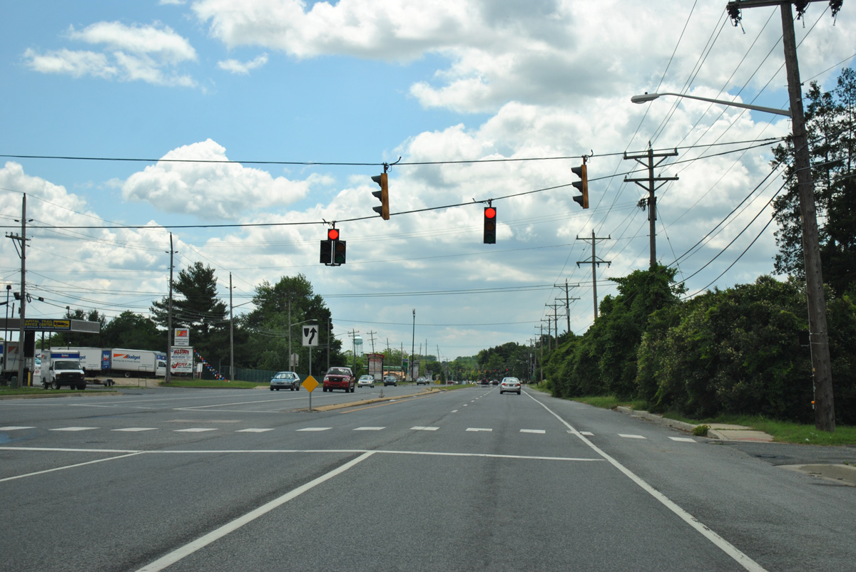
SR 2/72 (Capitol Trail) east at Cleveland Avenue west and Woodlawn Avenue east. 03/28/04

The intersection with Cleveland Avenue was reconfigured in 2014/15. The span wire signal array was replaced with mast arms during that project. 06/18/12
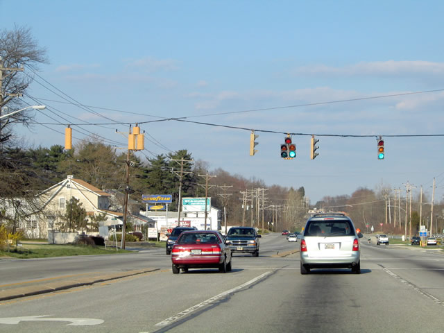
Construction in 2012 replaced sidewalks and the narrow concrete divider along SR 2 to the northbound split of SR 72. New signs and signals were installed during the project. 06/30/10
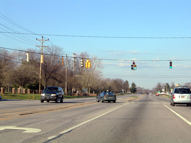
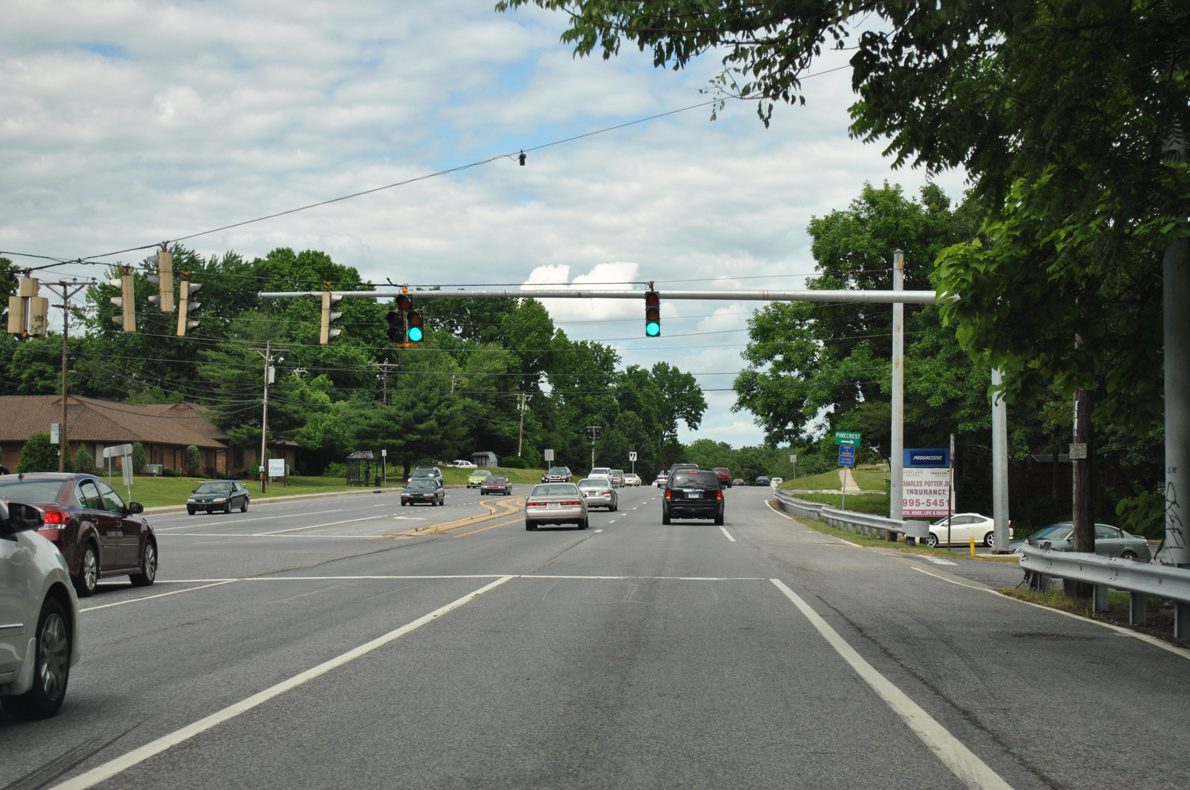
Prior to 2012, six Eagle Flatback signals operated at the intersection of SR 2 (Kirkwood Highway) and Harmony Road. The change to protected turns included signal upgrades. 03/28/04
SR 2 (Kirkwood Highway) east at Pike Creek Road west. 03/28/04
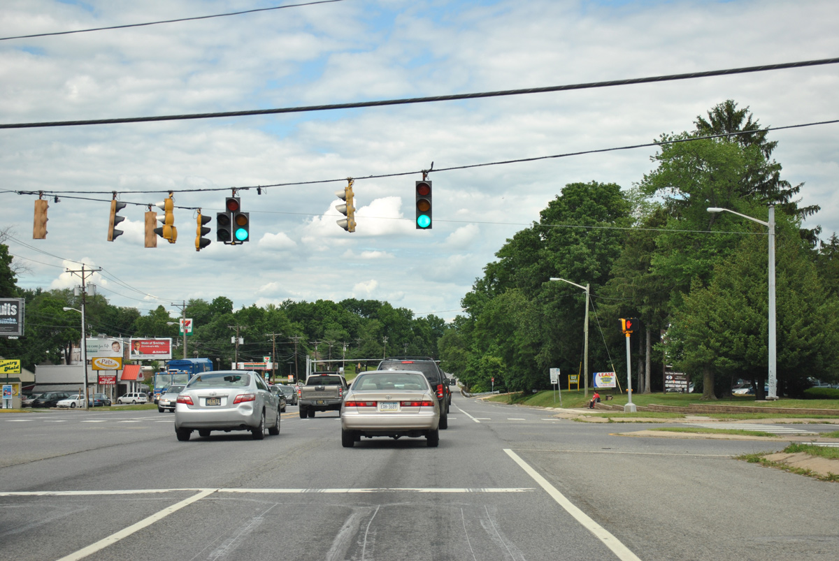
SR 2 (Kirkwood Highway) east at Delaware Park Drive. 06/05/12
Span wire supported Eagle Flatback signals at Kirkwood Highway and Milltown Road were replaced with new McCain signals the first full week of June 2012. 03/28/04
Left turns in both directions of SR 2 were switched to protected. 06/05/12
Kirkwood Highway east at St. James Church Road south and Griffin Drive north. Signals once provided permissive left turns from SR 2 east here. 03/28/04
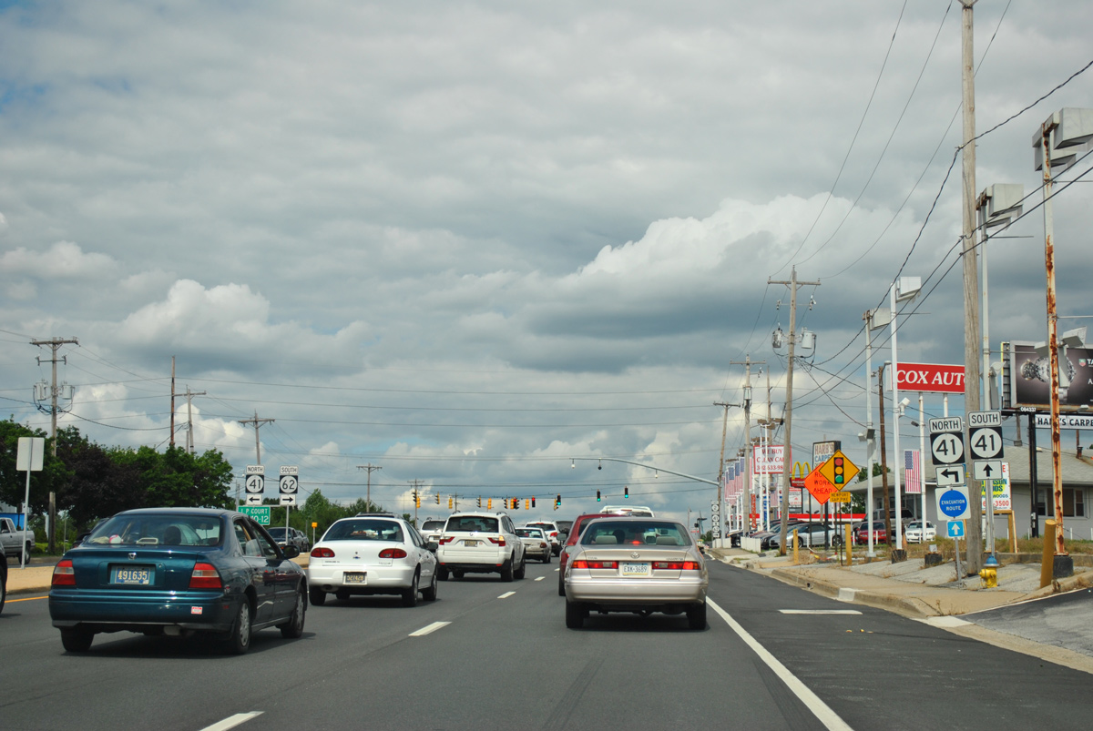
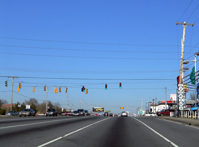
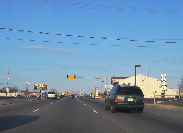
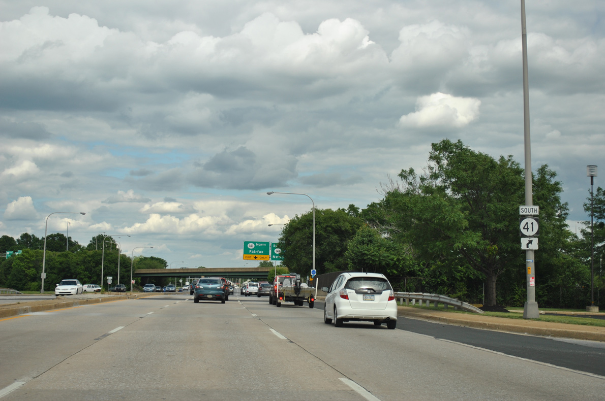
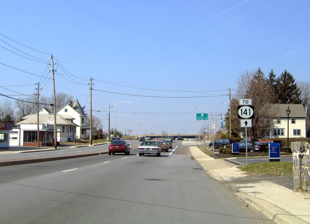
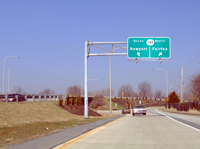
Prior to 2015, SR 2/41 overlapped east from Newport Gap Pike to SR 141. 06/05/12
A sign addition made along SR 2 east at Newport Gap Pike in 2017 erroneously referenced the former overlap of SR 2 east / SR 41 south to Prices Corner. This was corrected by 2021. 12/20/17
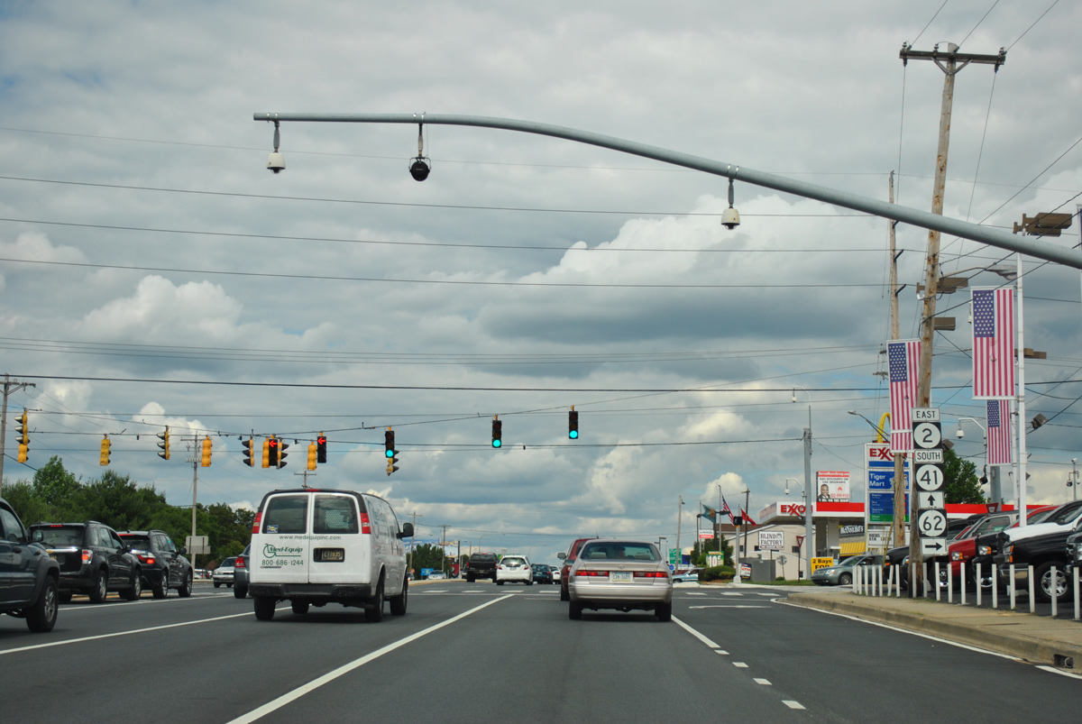
The SR 2/41 overlap was created in 1979 when the freeway for SR 141 opened. 06/05/12
Coinciding with the 1999 reconstruction of the Newport Freeway, SR 62 shields were posted for Newport Gap Pike south on Kirkwood Highway. SR 62 at the time was the preferred alternate route to SR 141 south from Prices Corner due to construction closures. 03/23/04
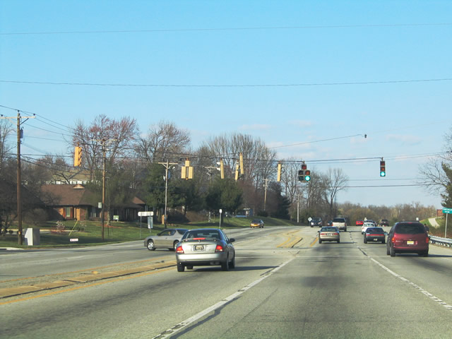
Confirming markers for SR 2/41 posted between Newport Gap Pike and Albertson Boulevard. The two overlapped for a half mile. 03/28/04
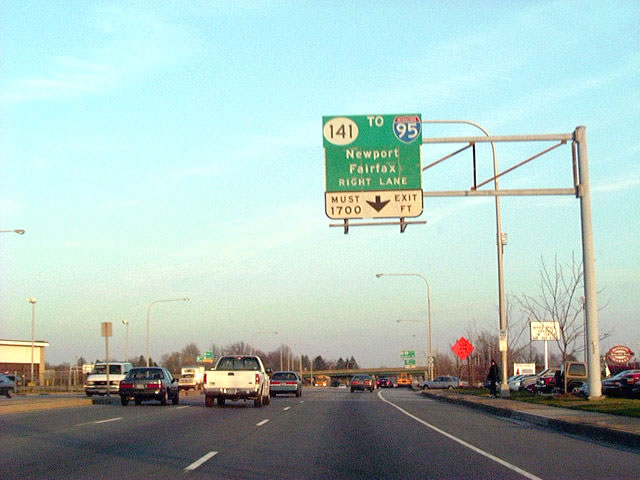
This original guide sign for SR 141 on Kirkwood Highway east remained in service through 2001. A poorly designed greenout was added to show Interstate 95 prior to its replacement. 12/19/01
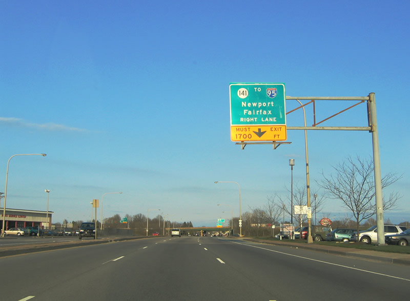
A carbon copied overlay updated the SR 141 sign to better show I-95, but retained the must exit placard. SR 141 was completed as a freeway south from SR 2 through Newport in 1979. 03/28/04
An SR 41 trailblazer directed truckers and other through traffic originating from U.S. 30 and Lancaster, Pennsylvania to the SR 141 southbound on-ramp from SR 2 east. SR 41 ended along the ramp until 2015. 06/05/12

This 1979 sign for SR 141 south was greened out to include SR 41 prior to its replacement. 12/19/01
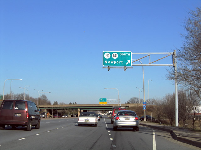
An overlay retained SR 41 for SR 141 south to Newport. SR 41 was signed east along SR 2 through Prices Corner to the Newport Freeway. An end shield was posted along the on-ramp until 2015. 03/28/04
A previous overhead posted ahead of the loop ramp for SR 141 (Centre Road) north on SR 2 east. This circa 2002 overhead was replaced by 2007 and then removed by 2012 in favor of a new assembly after the freeway overpasses. 03/28/04
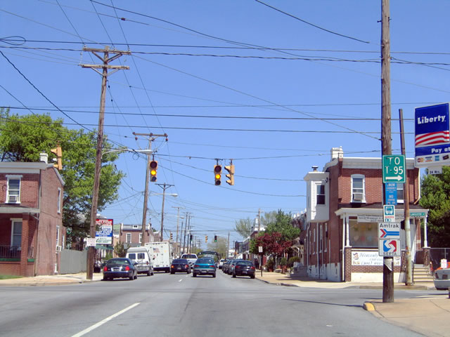
A city-installed sign (still in place as of 2017) directed traffic on Lancaster Avenue south to Interstate 95. Succeeding signal replacements by 2014 replaced these Eagles with new mast arm supported lights. 04/27/04
SR 2 (Union Street) east at 2nd Street (SR 48 west) in Wilmington. This span wire array of signals was replaced with a mast arm assembly in 2017. 12/22/16
Eagle brand traffic lights at the east end of SR 2 with SR 52 (Pennsylvania Avenue). 04/01/04
Approaching SR 9 (4th Street) on SR 2 (Union Street) in Wilmington. 04/27/04
SR 2 shield formerly posted at the north end of SR 9 (4th Street) at the Flats in Wilmington. 04/27/04
This cutout shield for SR 2 west after SR 48 was replaced in 2016. 08/05/07
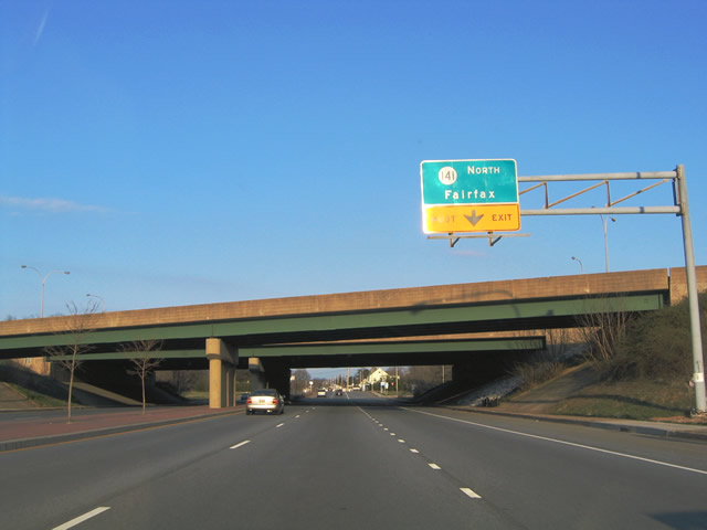
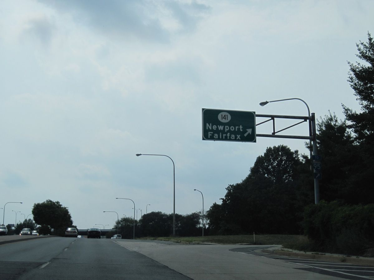
A trailblazer took the place of a junction shield assembly for SR 141 on SR 2 (Kirkwood Highway) west just ahead of the Newport Freeway. It was replaced by 2012. 03/20/04
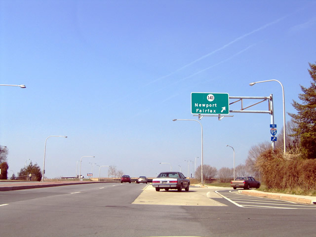
The overhead sign structure at the exit ramp from SR 2 to SR 141 south dated back to the completion of the Newport Freeway in 1979. 03/20/04
A new assembly posted at the on-ramp to SR 141 by 2012 included I-95 on the overhead for Newport. 07/08/10
This sign over the SR 141 on-ramp was carbon copied onto a new overhead fixture by 2012. 03/20/04
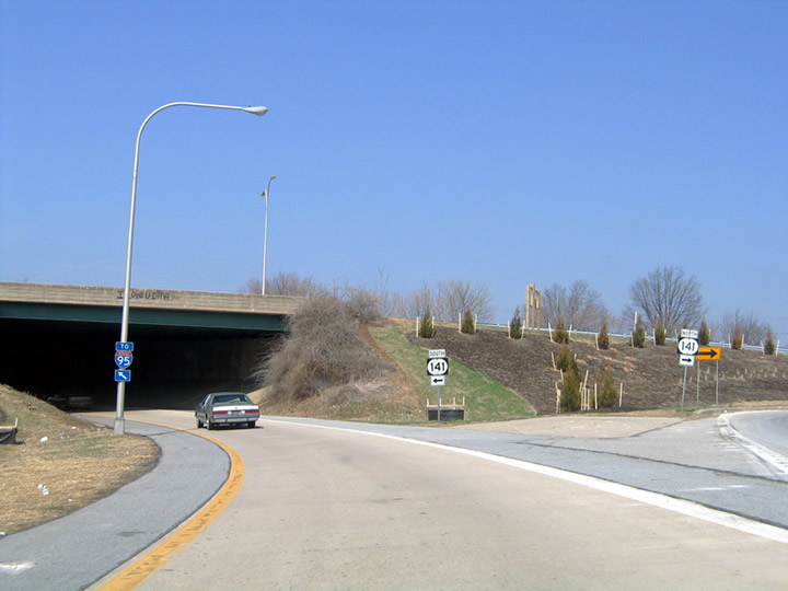
Traffic partitioned for SR 141 south and north by a newly landscaped berm. 03/20/04
Thunderstorms associated with a cold front darkened skies west of SR 2 at Albertson Boulevard. This intersection was one of two New Castle County locations using flashing yellow arrows (the other was located at Library Avenue and Ogletown Road in Newark) before they became a national standard. 04/24/05
Mast arm signal assemblies replaced this set of span wires at SR 2 (Kirkwood Highway) and Delaware Park Drive in 2017. 06/15/12
Mast arm signal assemblies replaced the span wire setup at Brewster Drive in 2015. 06/03/12
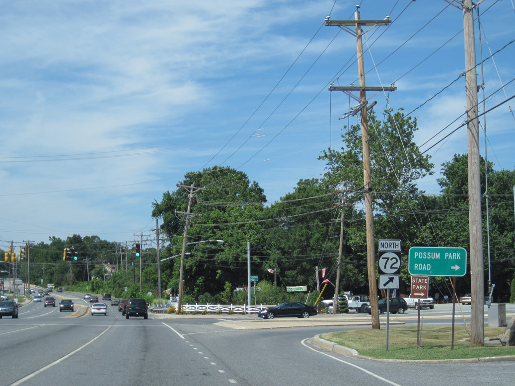
SR 2 (Capitol Trail) west at SR 72 (Possum Park Road) outside Newark. This intersection was reconstructed in Summer 2012 with new sidewalks, a longer eastbound turn lane, signal upgrades and sign replacements. 06/30/10
Photos by AARoads
Page Updated Friday January 24, 2025.