
Interstate 69 Indiana - North

I-69/SR 57 north pass under an overpass built to connect County Road 1250 South with old SR 57 to the east. County Road 1250 was severed due to construction of Interstate 69 north from the cloverleaf interchange with I-164.
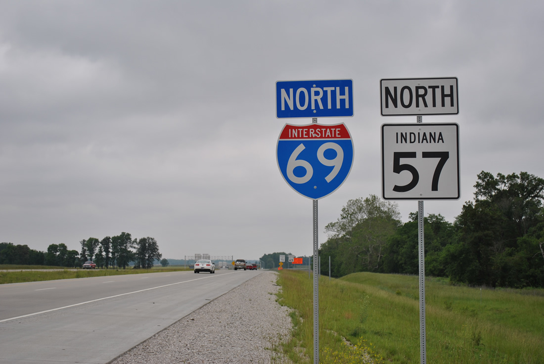
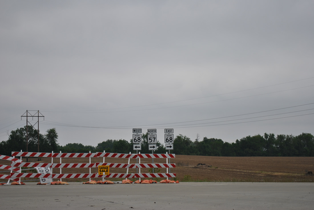
SR 57 splits with I-69 in three quarters of a mile to briefly join SR 68 east to its original course northeast to Mackey and Summerville. 11/07/11
Prior to November 2012, this was the first reassurance shield of Interstate 69 north posted in Indiana. 05/27/11
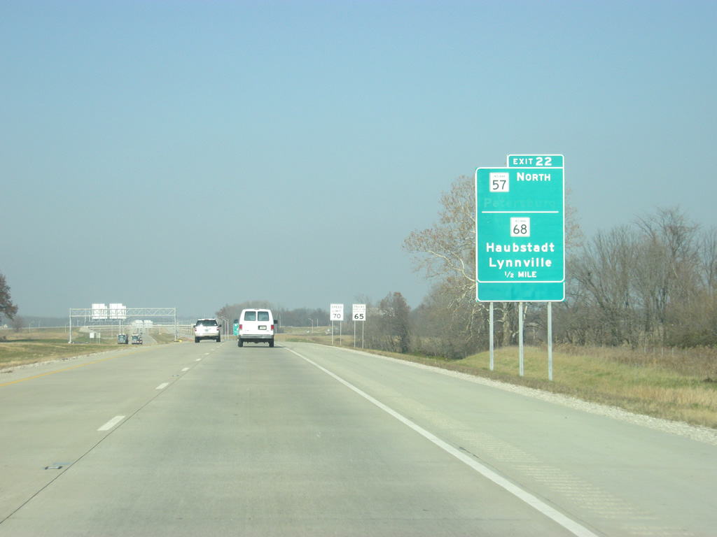
Guide signs for SR57 north and SR 68 were added between May and November of 2011, and the half-mile approach sign was replaced by 2016. The newer sign eliminated the blank space from the original assembly. 11/21/12
SR 57/68 shield assembly posted at the temporary end of I-69 northbound near Wheatonville. SR 57 follows SR68 east one half mile to rejoin the alignment north into Wheatonville. Mackey follows in 5.5 miles and Oakland City in 10.8 miles. 05/27/11
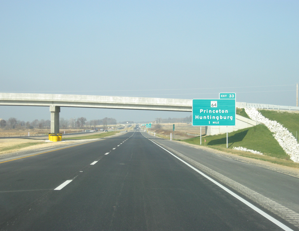
Signage updates for Exit 33 between 2012 and 2015 added Oakland City as a third city for SR 64. 11/21/12

Oakland City was also added a third destination for SR 64 at the ramp departure of Exit 33. 11/21/12

Until December 9, 2015, Interstate 69 ended two miles ahead at U.S. 231 (Exit 87) near Crane. The "freeway ends" placard was removed and the shield replaced. 11/21/12

There was a speed limit reduction along Interstate 69 ahead of the temporary end at Exit 87. 11/21/12

One mile remained along Interstate 69 northbound leading into the interchange (Exit 87) with U.S. 231. 11/21/12

Traffic was shunted into a single lane one half mile ahead of Exit 87. Prior to December 2015, motorists had two options to continue toward Indianapolis. The most direct route was via U.S. 231 south to SR 45, which goes for 30 miles to the southwest side of Bloomington at SR 37 (which was then 50 miles from Indianapolis). To the north, U.S. 231 run 55 miles north to Interstate 70 in Cloverdale. 11/21/12

11/21/12

Departing the freeway during construction to extend Interstate 69 north along Section 4. 11/21/12

Ahead, the bridges were already in place to carry Interstate 69 over U.S. 231, but little pavement was laid east of there. 11/21/12

The town of Crane is 2.5 miles to the south while Loogootee is 17 miles to the south. The Greene County seat of Bloomfield is eight miles to the north and Bloomington is 30 miles to the northeast via SR 45. 11/21/12
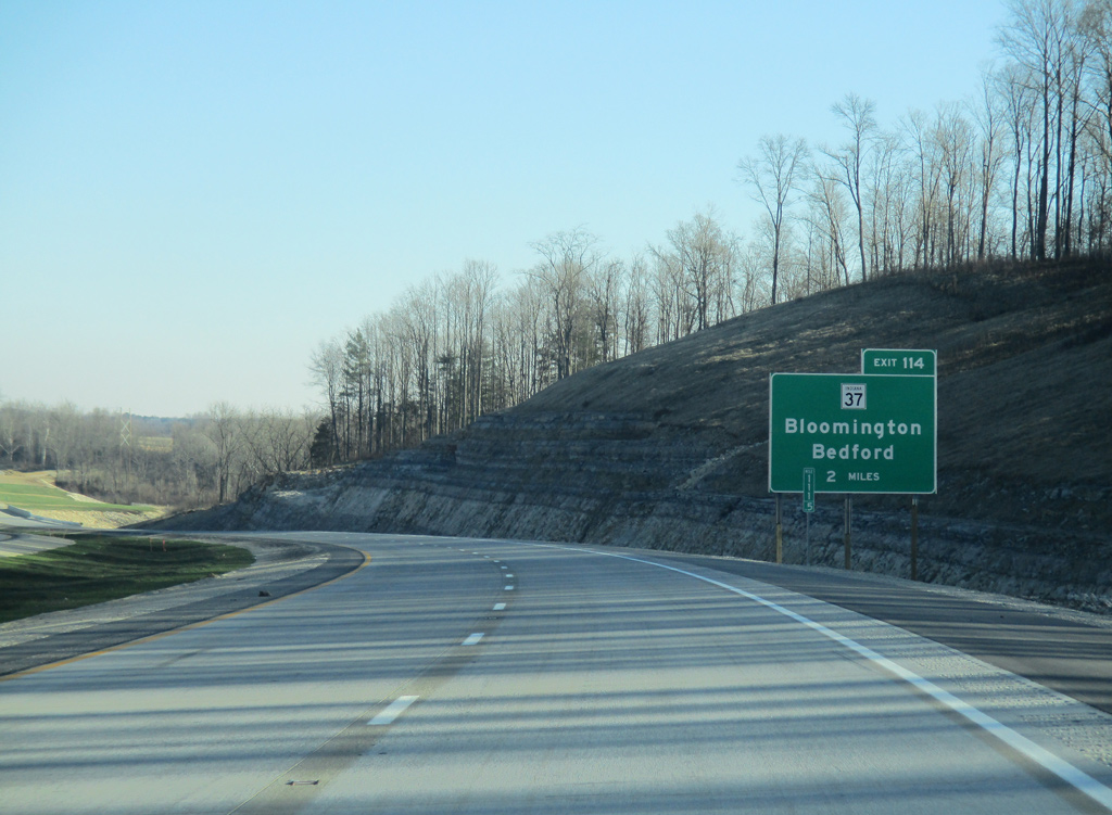
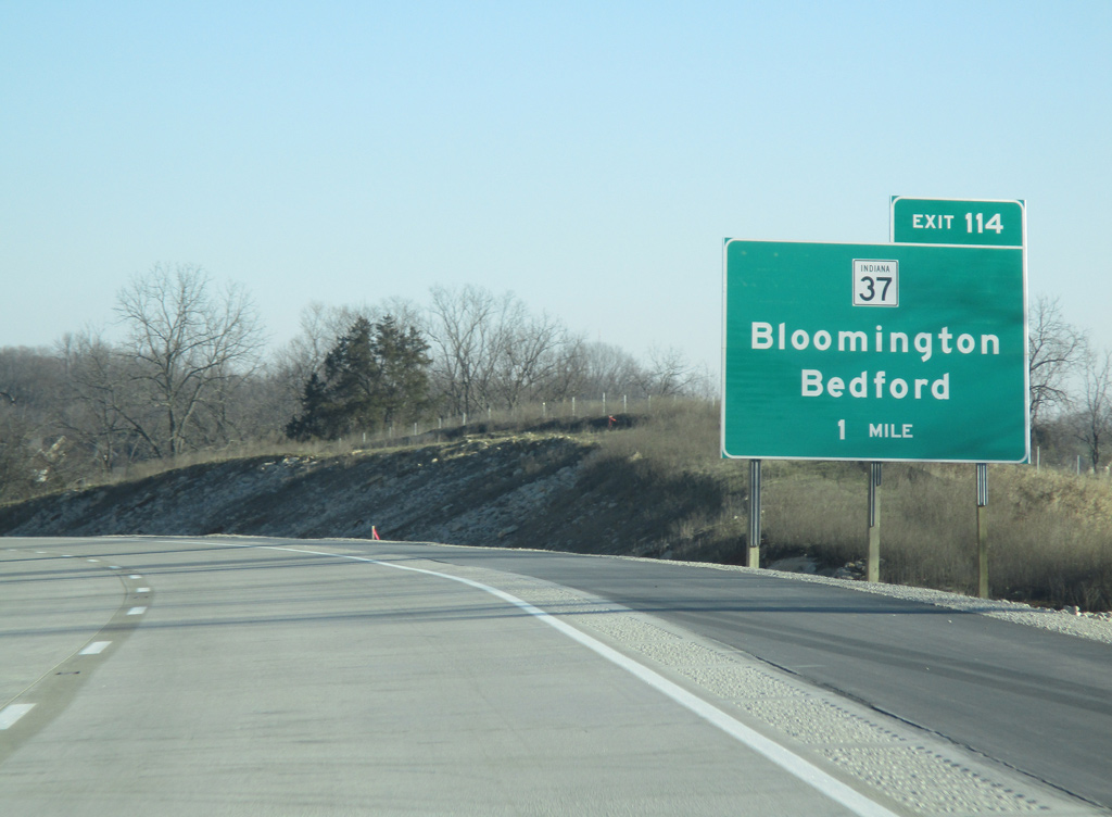
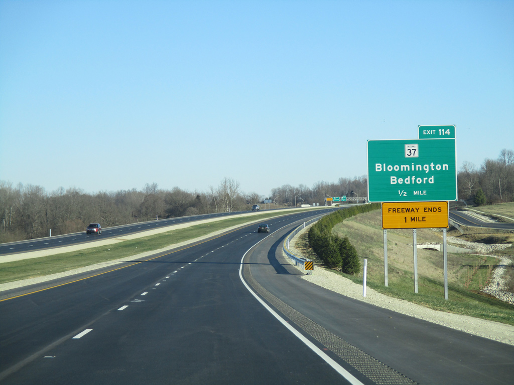
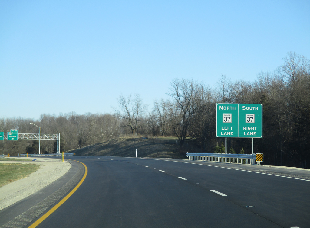
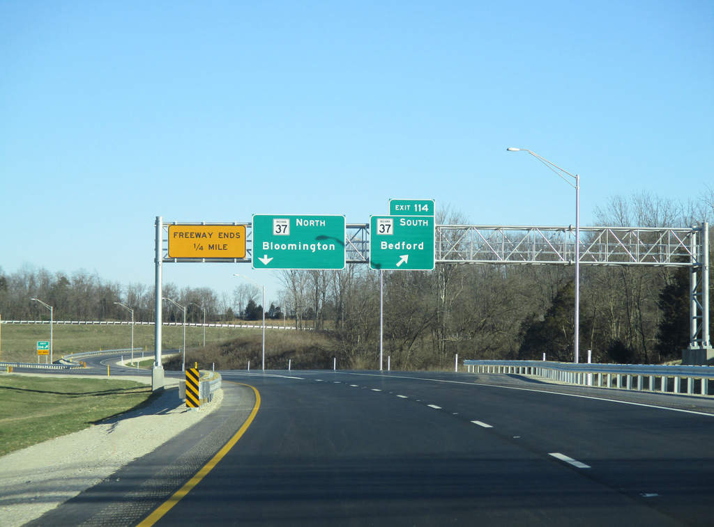
Interstate 69 approaching the temporary end at SR 37 to the southwest of Bloomington. 12/19/15
12/19/15
12/19/15
12/19/15
12/19/15
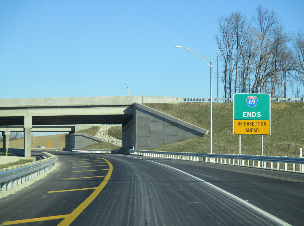
I-69 was extended north along side SR 37 by September 18, 2018. 12/19/15
Photos by AARoads
Page Updated Friday January 24, 2025.