
Interstate 89 Vermont – South
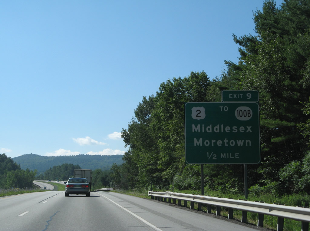
U.S. 2 intersects Center Road just south of the diamond interchange at Exit 9. 08/04/07
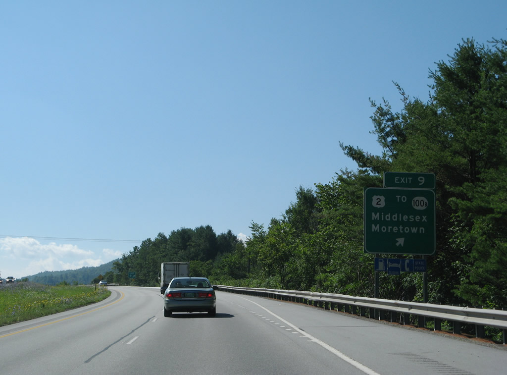
Vermont 100B meanders southwest along the Mad River from Middlesex to Moretown and Vermont 100. 08/04/07
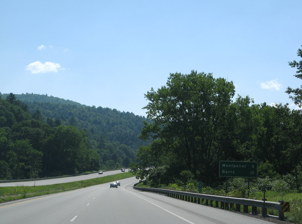
The older mileage sign posted at Middlesex references Barre (12 miles) as the next destination for I-89 south. Its replacement displays the distance to White River Junction (59 miles) while also revising the distance to Montpelier up by one mile. 08/04/07
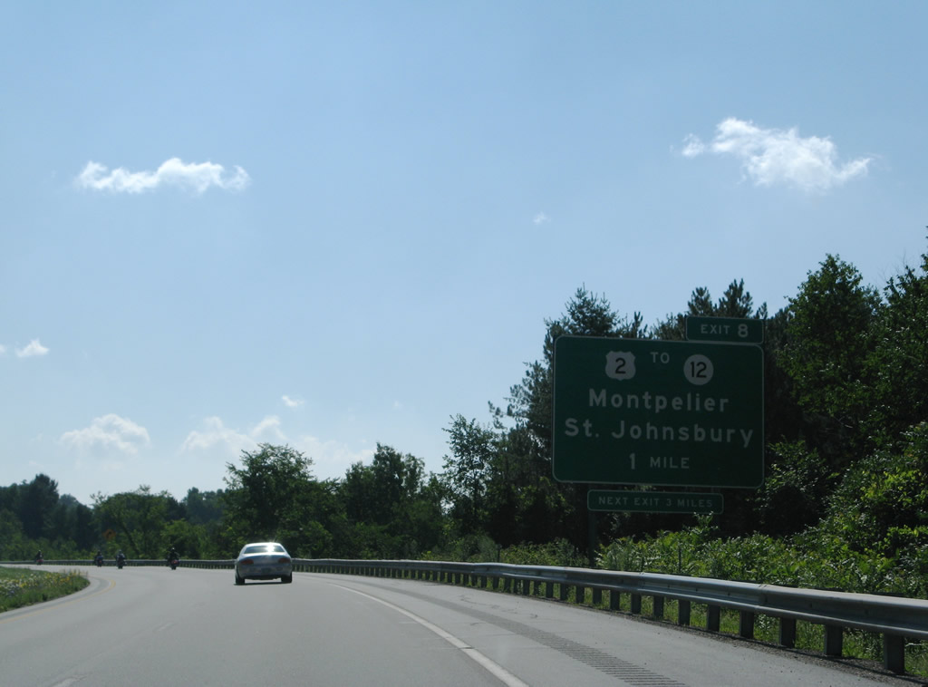
Interstate 89 curves southward to cross over U.S. 2 and the Winooski River one last time ahead of Exit 8 for the capital city of Montpelier and St. Johnsbury. 08/04/07
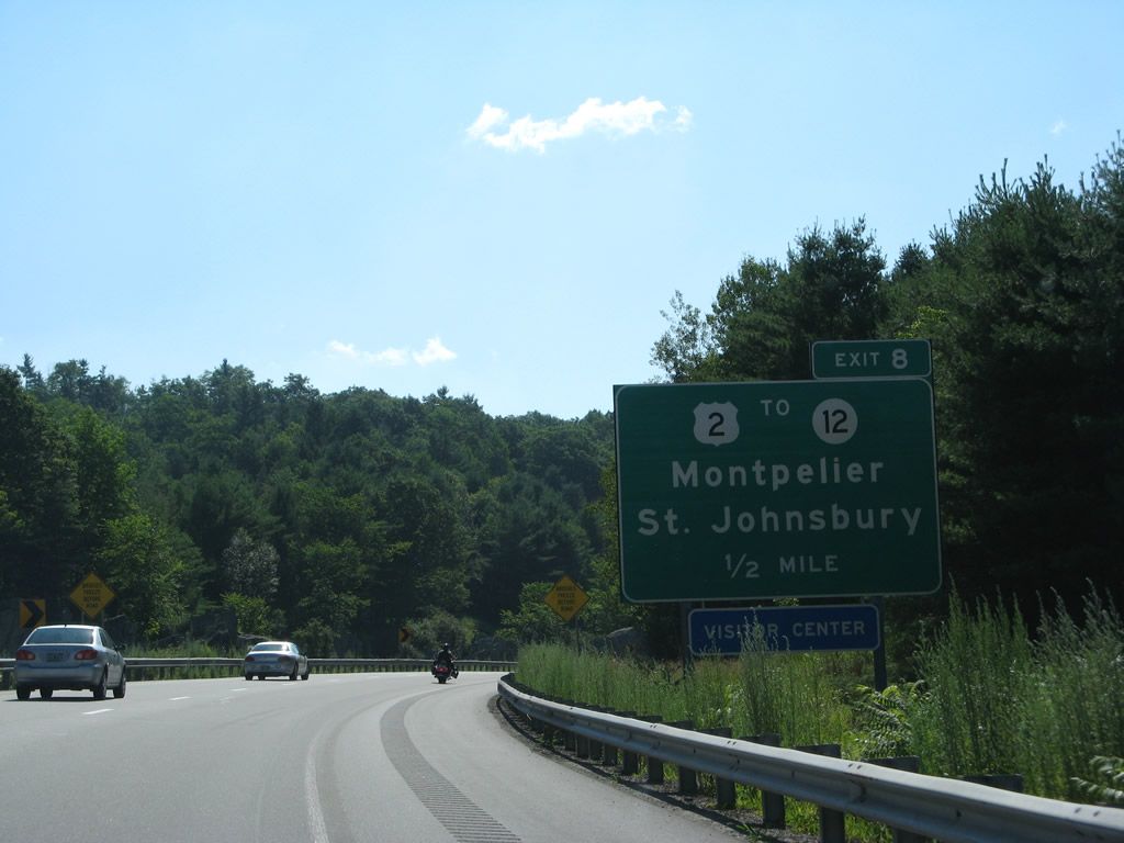
Exit 8 is the first of three trumpet interchanges in a row drivers along Interstate 89 southbound encounter. 08/04/07
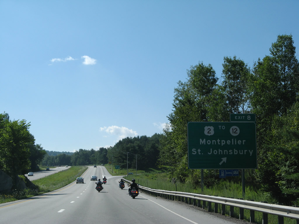
There is no direct access to Vermont 12 from I-89. Instead motorists are directed onto Memorial Drive east to U.S. 2 and Northfield Street to access the state route leading southwest to West Berlin and north to Worcester. 08/04/07
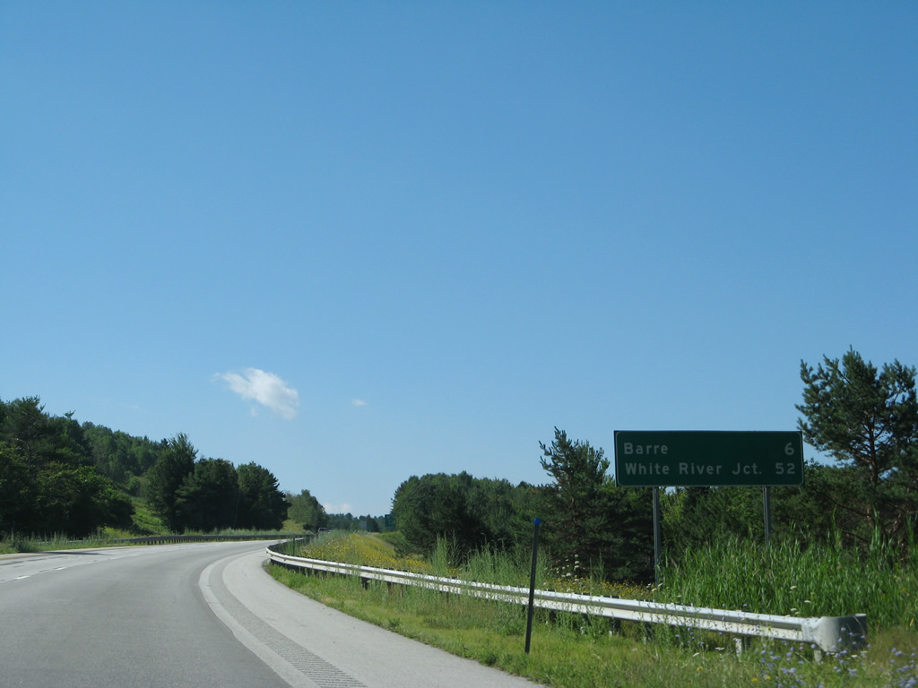
A replaced mileage sign for I-89 heading south from Montpelier. The distance to White River Junction was upped by two miles. 08/04/07
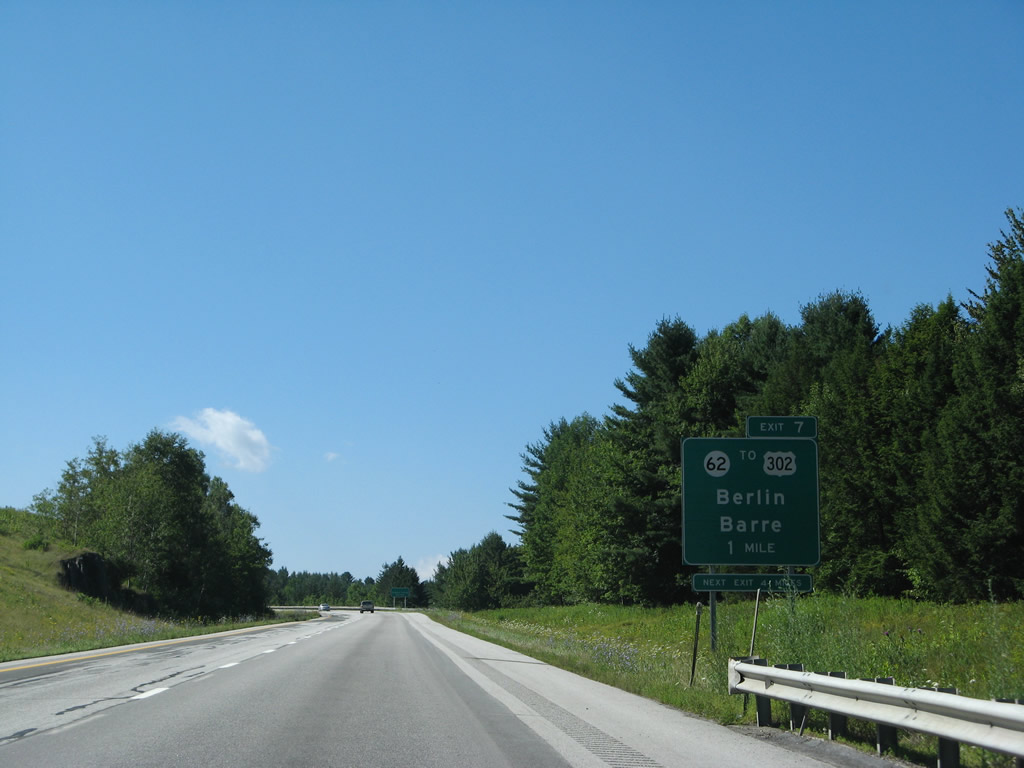
The first of two Highway Gothic font based signs for Exit 7 that were posted on I-89 south. Vermont 62 is the first of three sequentially numbered routes to tie into Interstate 89 south. 08/04/07
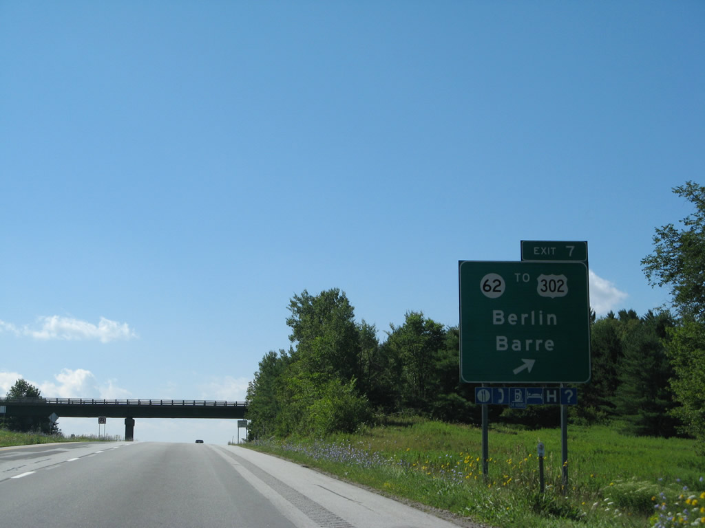
Vermont 62 east to U.S. 302 west to U.S. 2 provides a bypass route of Montpelier for East Montpelier, Goddard College and Plainfield. 08/04/07
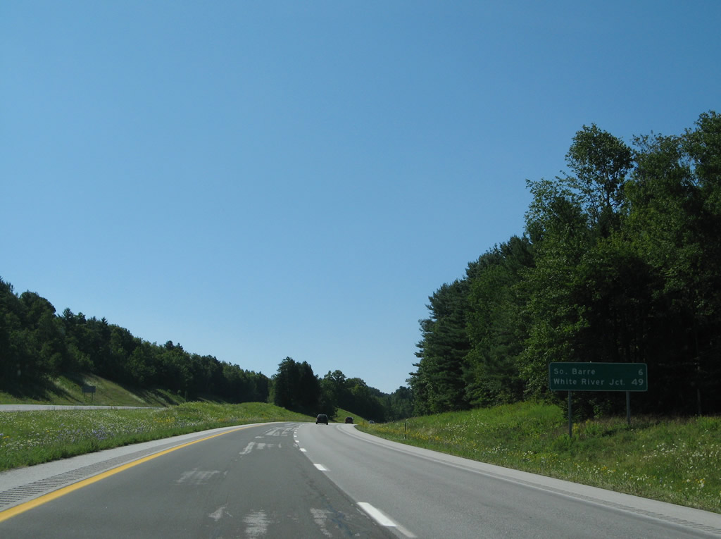
Interstate 89 rises to the east of Berlin Pond as drivers saw this mileage sign posted six miles out from South Barre. The distance to White River Junction was again revised upward by two miles during a sign replacement project along I-89. 08/04/07
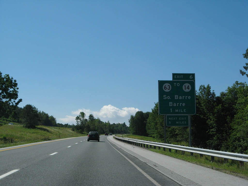
One mile north of Exit 6 to Vermont 63 east on I-89 south. 08/04/07
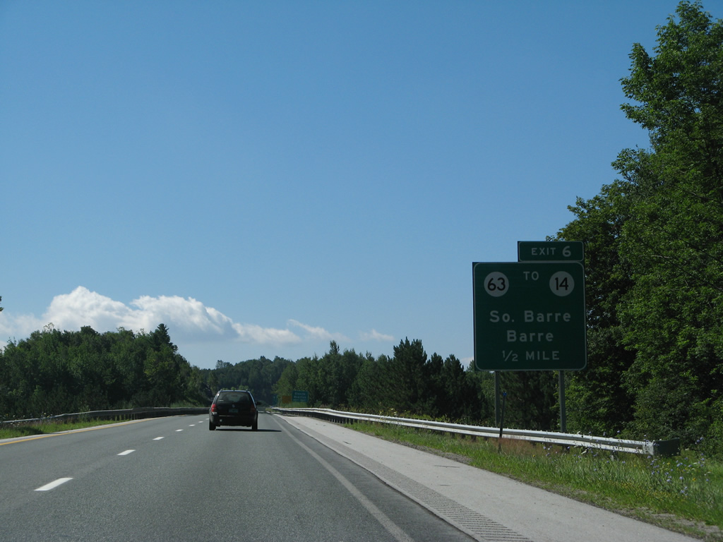
Sign changes here spell out South for South Barre. South Barre is an unincorporated community along Vermont 14. 08/04/07
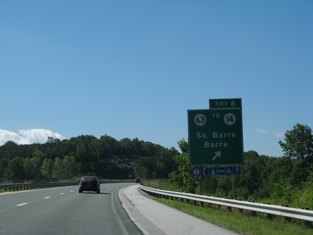
Vermont 63 stems east along an expressway from Exit 6 to Vermont 14 at Middle Road. 08/04/07

A former state-named shield posted for Interstate 89 south ahead of the Orange County line. 08/04/07
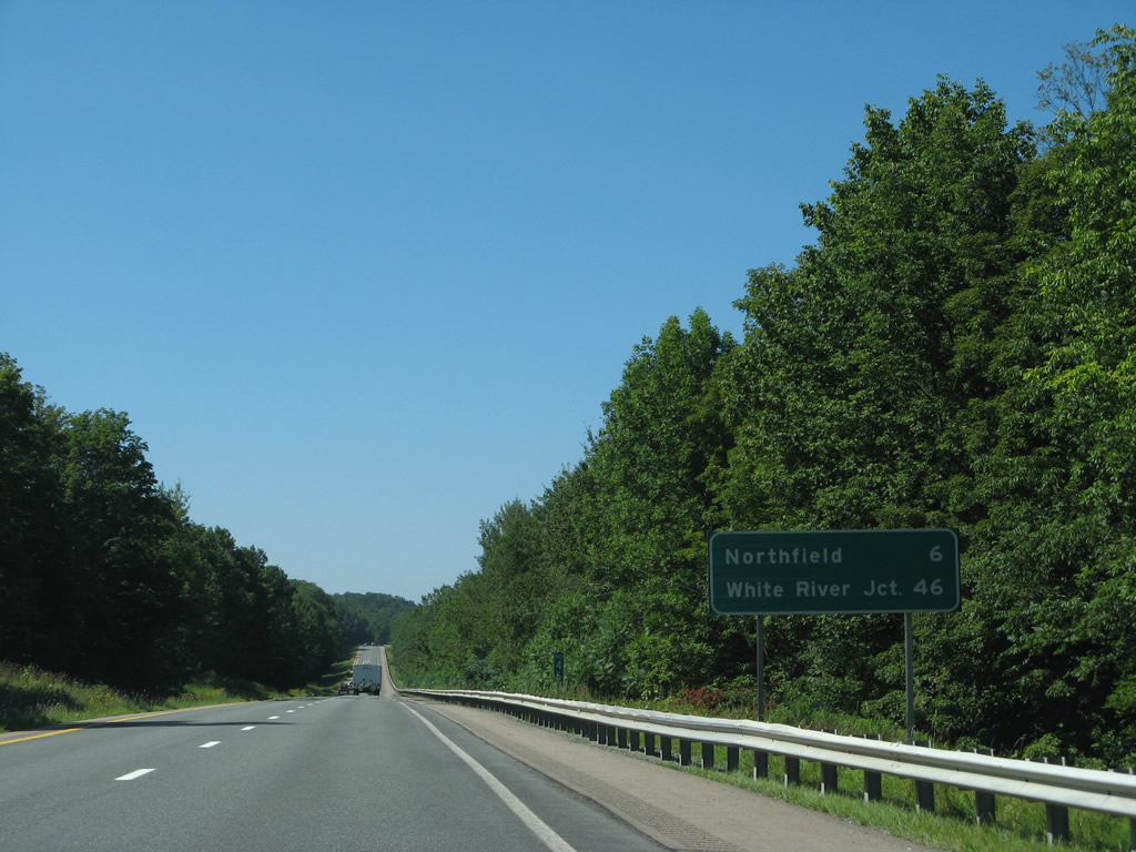
Distances on this mileage sign were altered to eight miles for Northfield and 47 miles for White River Junction with its replacement. 08/04/07
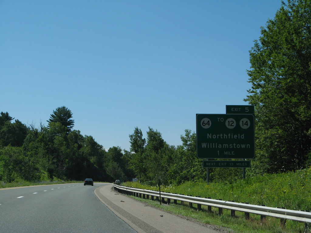
Vermont 12 and 14 run southward parallel to I-89 from Berlin and Barre to Northfield and Williamstown respectively. Vermont 64 provides the first of three routes to link the two. 08/04/07
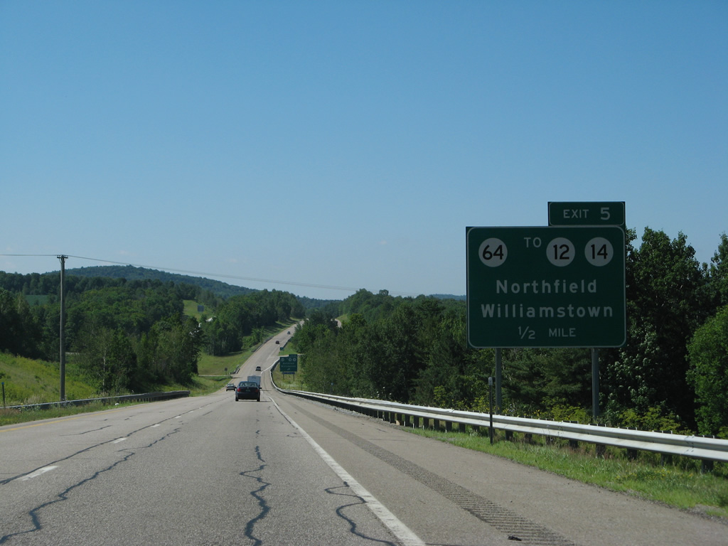
Lowering toward the diamond interchange (Exit 5) with Vermont 64 (Northfield Road) on I-89 south. 08/04/07
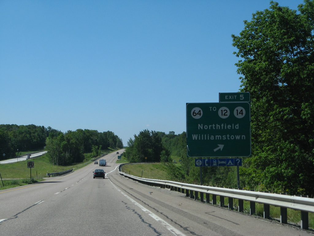
Exit 5 departed I-89 south for VT 64 west to Lovers Lane in Northfield and east to Brook Street in Williamstown. 08/04/07
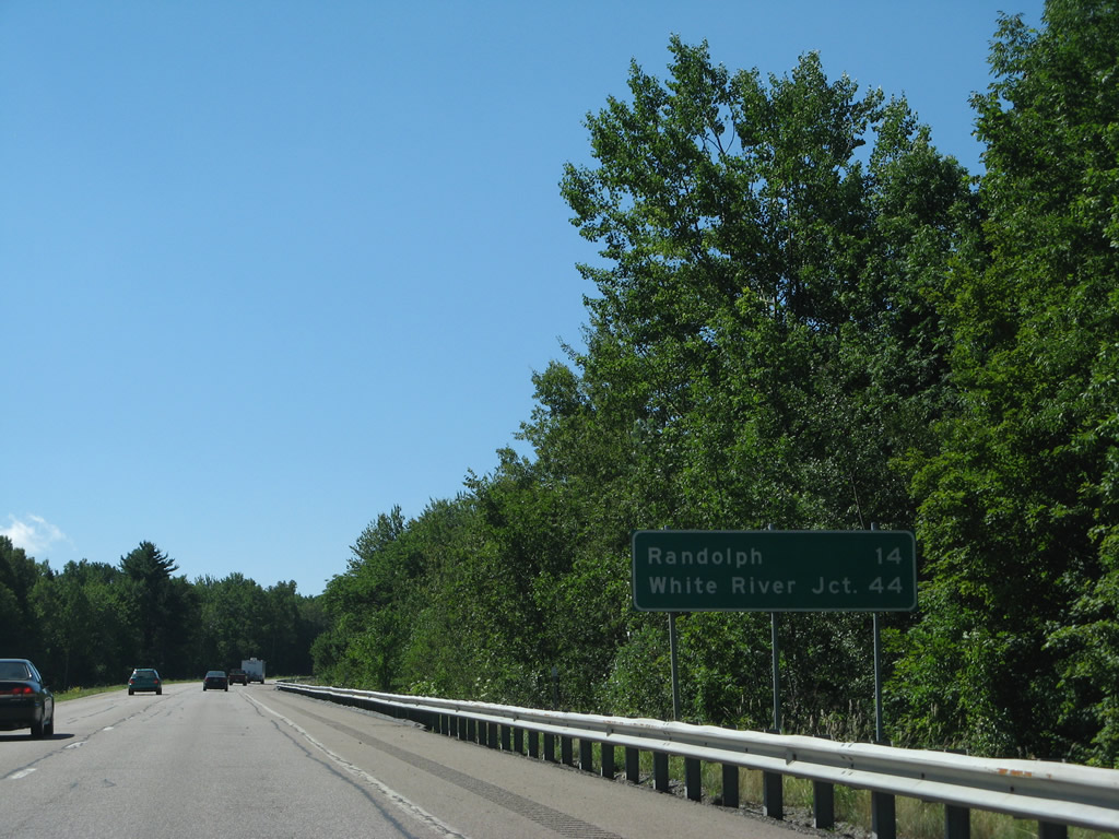
Drivers enter a 12.1 mile exit less stretch from Vermont 64 south to Vermont 66 in Randolph. White River Junction lies 29 miles (revised mileage) further. 08/04/07
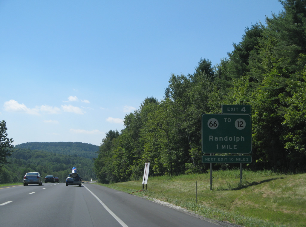
A diamond interchange (Exit 4) joins Interstate 89 with Vermont 66 west to Vermont 12 and the Randolph town center in one mile. 08/04/07
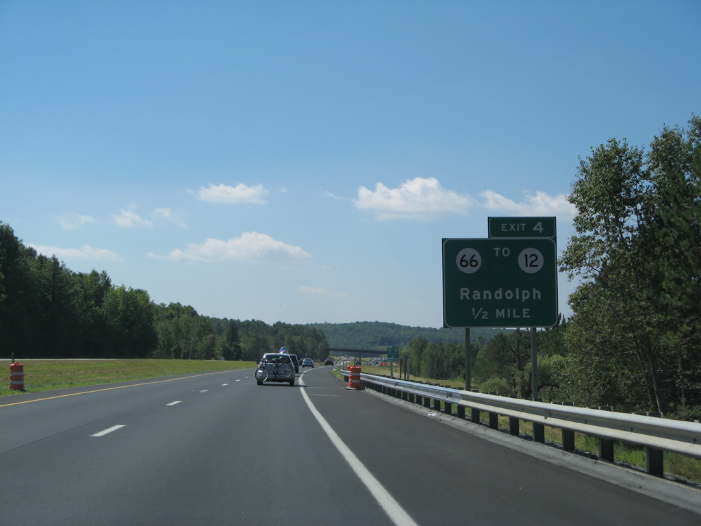
The freeway flattens out along side Adams Brook on the half mile approach to Exit 4. Guide signs for VT 66 were replaced by 2012. 08/04/07
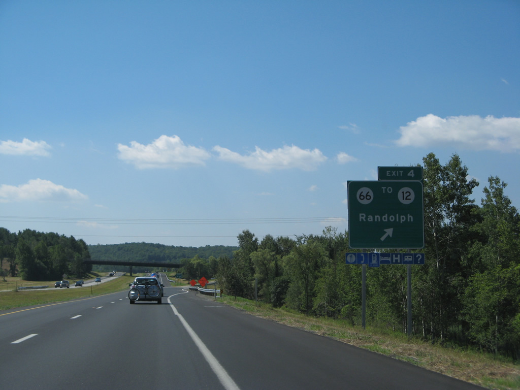
East from Exit 4 and I-89, VT 66 traverses Randolph Hill to Randolph Center, and a northerly turn along Ridge Road. The state route arcs east to end at VT 14 at East Randolph. 08/04/07
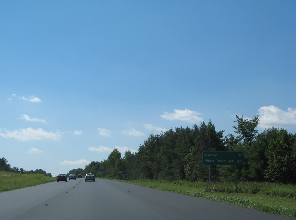
Interstate 89 travels through the town of Bethel to Royalton between exits 4 and 3. The town center lies west of Exit 3 via Vermont 107.<br /> The mileage here for White River Junction was decreased to 31 miles with a sign replacement. 08/04/07
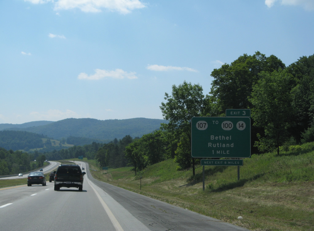
Sign changes made at Exit 3 replaced Rutland with Royalton as the second control point for Vermont 107. Rutland took the place of South Royalton on an auxiliary panel situated midway between the mile and half mile signs for VT 107. 08/04/07
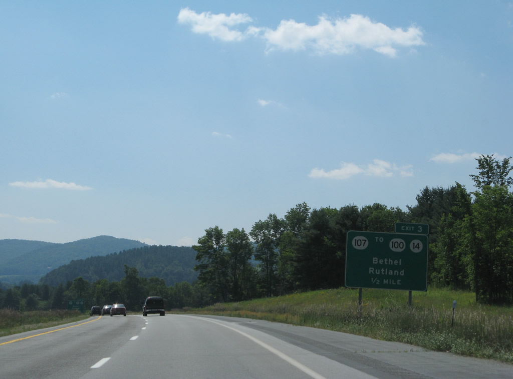
One half mile ahead of the folded diamond interchange (Exit 3) with Vermont 107 near South Royalton. 08/04/07
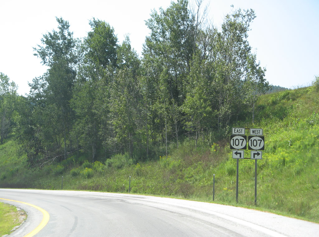
Former oval shields posted for Vermont 107 along the Exit 3 off-ramp from Interstate 89 south. VT 107 ventures west along the White River to both VT 12 at Bethel and VT 100 at Stockbridge. 08/04/07
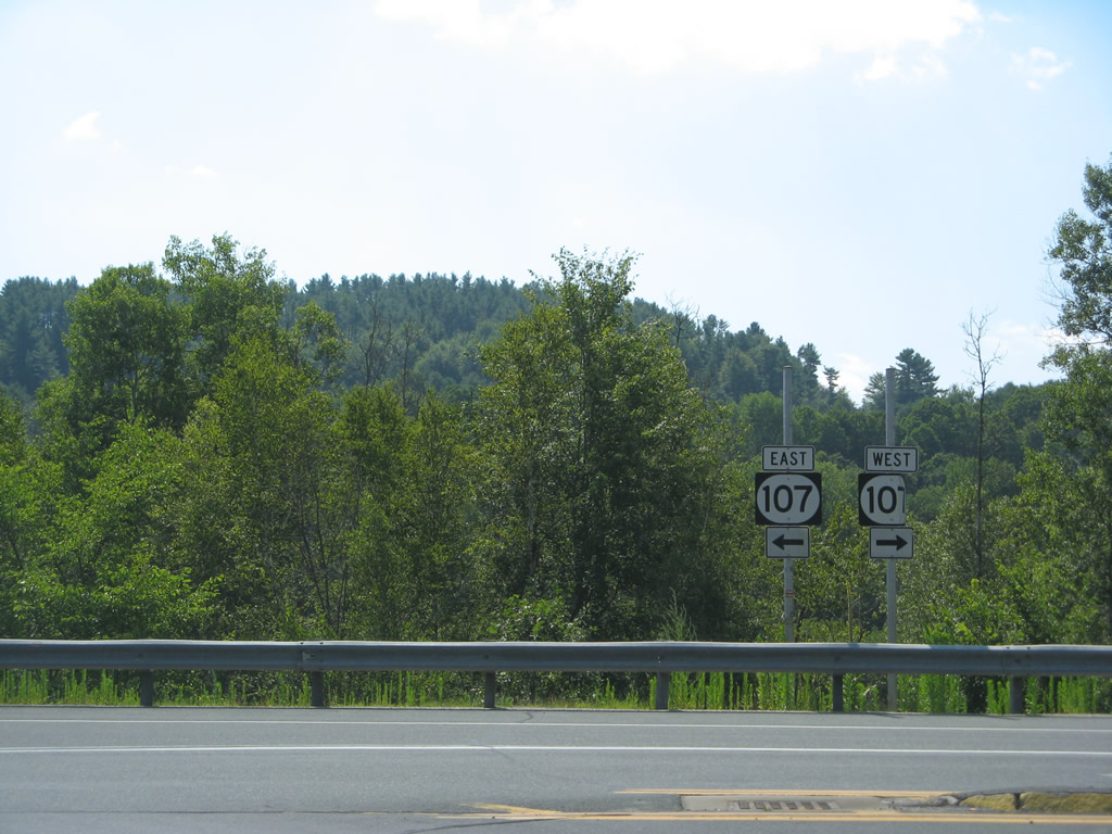
Shrubbury conceals the White River from beyond this assembly posted at Exit 3. The missing shields here were trailblazers for VT 14 and 100. 08/04/07
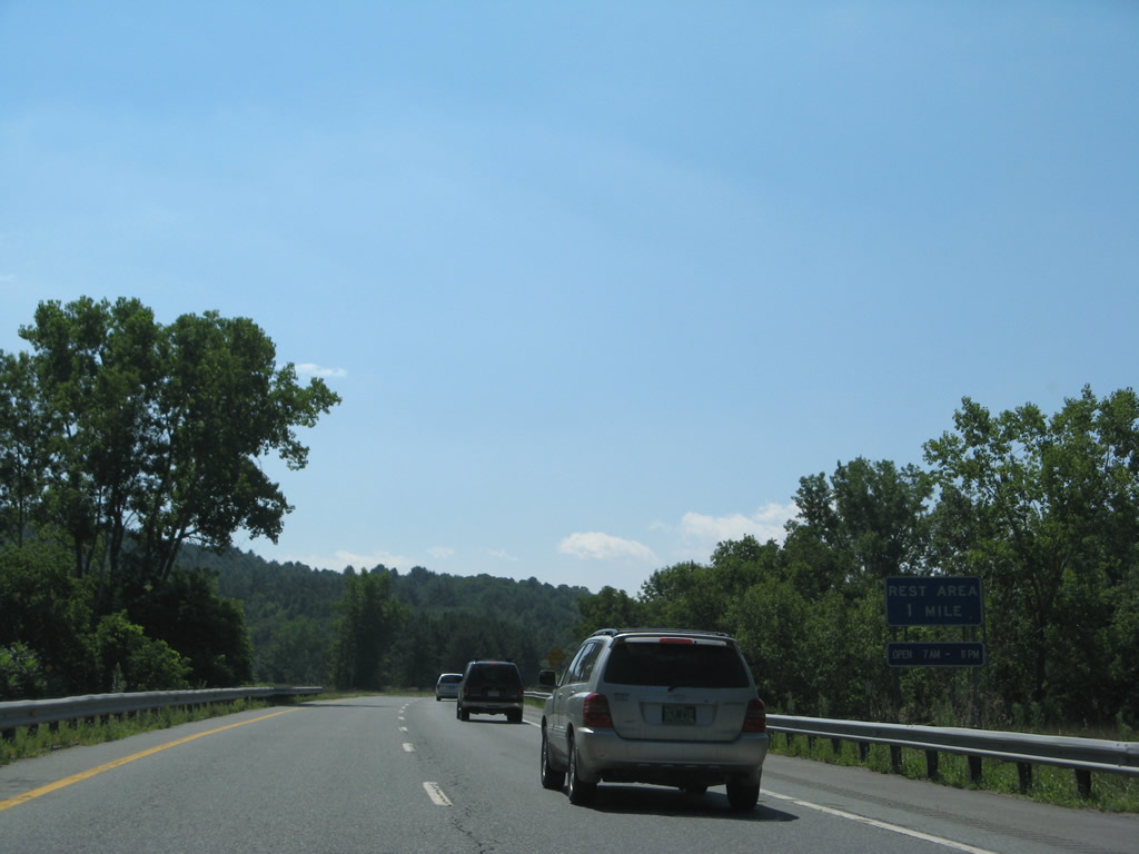
The Sharon rest area along Interstate 89 south was converted to sole operation as a truck weigh station. 08/04/07
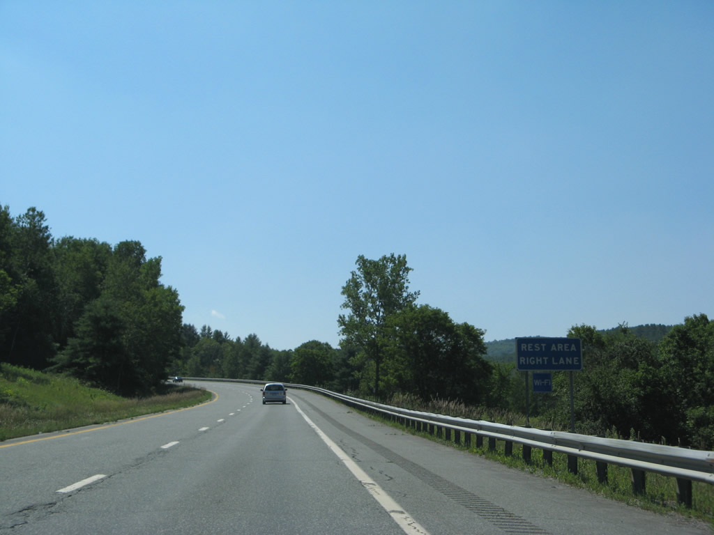
The former rest area hugs the hillside overlooking the White River west of West Hartford. 08/04/07
Photos by AARoads
Page Updated Friday January 24, 2025.