
Interstate 195 Rhode Island


Interstate 195 & U.S. 6 originally turned westward along side Benefit Street and the Providence River where they split with U.S. 44 via the Exit 2 off-ramp to South Main Street. Exit 2 now connects with benefit Street further south from the Iway bridge approach. 07/28/07

U.S. 44 follows the one-way couplet of Main and Water Streets northward from Interstate 195 & U.S. 6 along the Providence River. U.S. 44 west remains along Main Street through to Smith Street where it turns west to the State Capitol.
Exit 2 departed I-195 over Wickenden Street, joining northbound Main Street ahead of Transit Street. 07/28/07

High rises from the central business district came into view along Interstate 195 & U.S. 6 west at the crossing over Wickenden and Point Streets. 07/28/07

Turning westward, Interstate 195 & U.S. 6 spanned the Providence River north of the Point Street Bridge. 07/28/07
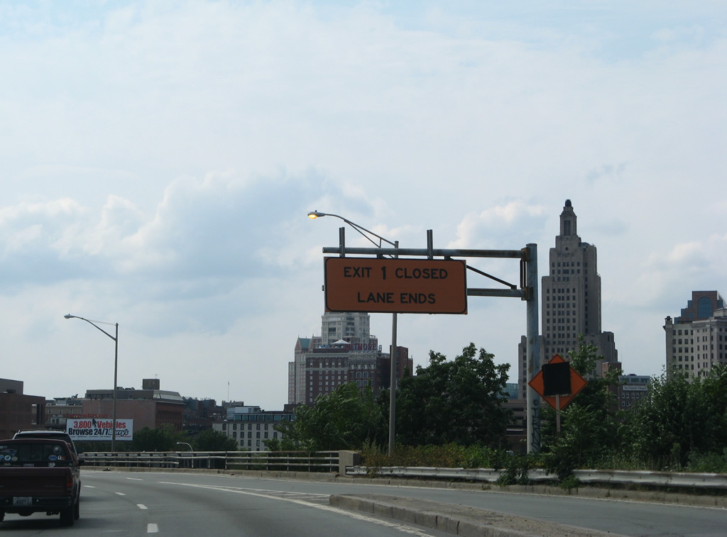
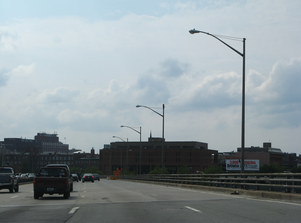
The Exit 1 off-ramp to Dyer Street northbound from Interstate 195 was removed by 2004. 07/28/07
Spanning the Providence River along a 1958-built bridge north of the Jewelry District of Downtown Providence. 07/28/07

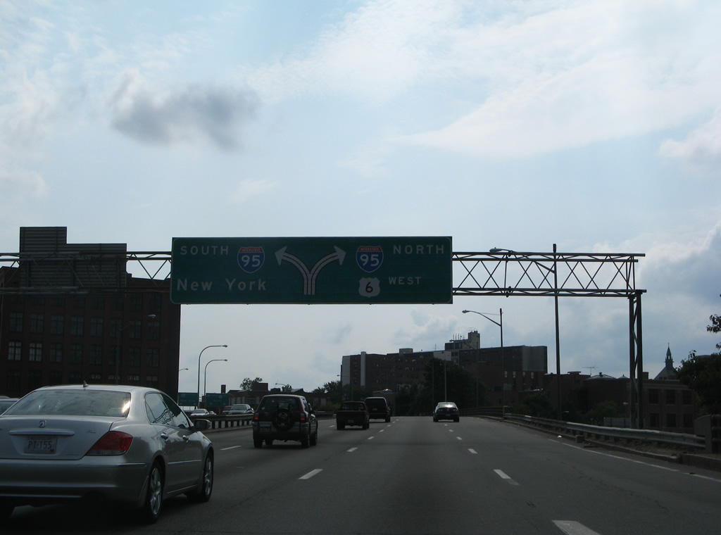
A diagrammatic overhead posted one quarter mile east of the directional interchange with Interstate 95 on I-195 west. U.S. 6 joined Interstate 95 northbound from the west end of Interstate 195, as it does today. 07/28/07
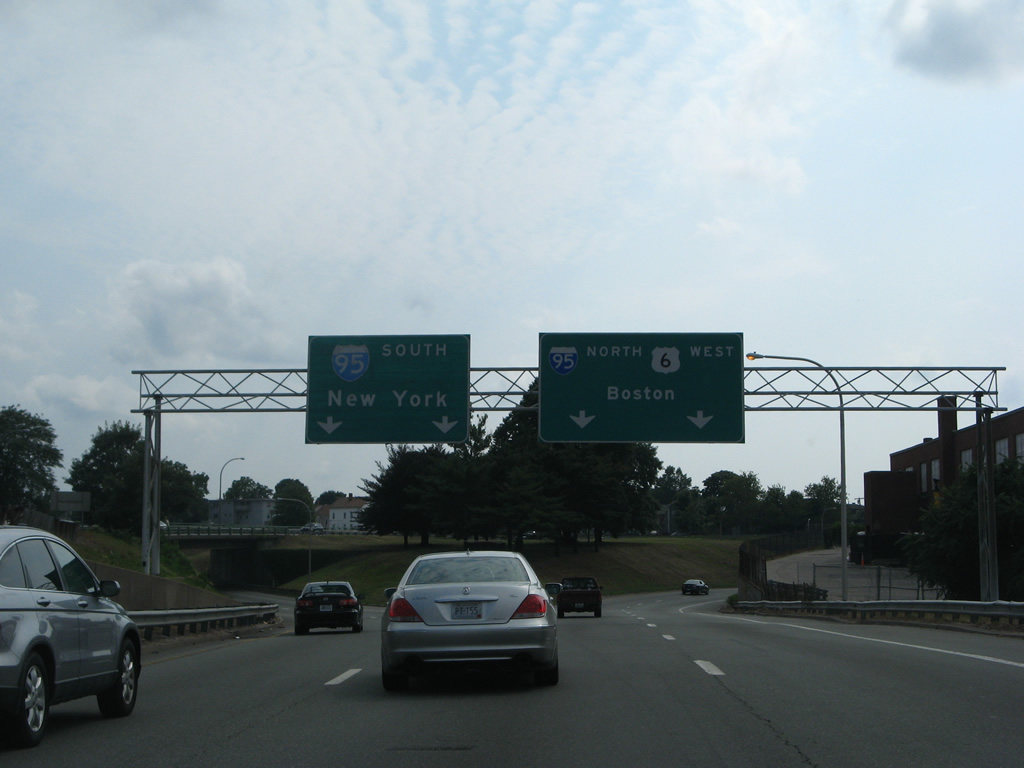
Three lanes of Interstate 195 partitioned into separate two-lane ramps for Interstate 95 south to New London, CT and New York and north to Pawtucket and Boston. An on-ramp joined the freeway end from Dorrance and Dyer Streets. 07/28/07
Interstate 195 concluded at the ramp split to Interstate 95 adjacent to Pine Street. Franklin Street was extended south from Pine Street to Point Street through the former interchange grounds. 07/28/07
Photos by AARoads
Page Updated Friday January 24, 2025.