
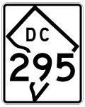
Interstate 295 District of Columbia

Photos showing older configurations for Interstate 295 at the Capital Beltway, the former stretch along the 11th Street Bridge, and replaced guide signs along the Anacostia Freeway (D.C. 295) freeway.
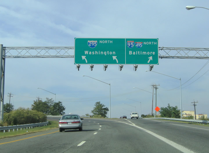
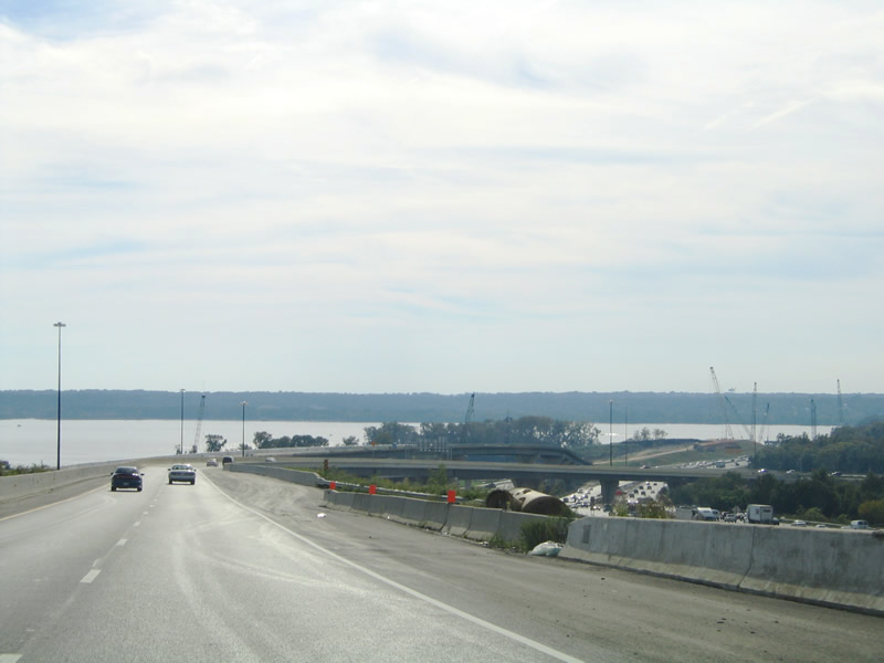
View of the Interstate 295 and Capital Beltway interchange reconstruction from the 1.7-mile connector between MD 210 and I-295 north. The original directional cloverleaf interchange was reconfigured to allow for a widened I-95/495 in association with the construction of two new spans for the Woodrow Wilson Bridge nearby. 09/25/04
View of the Interstate 295 and Capital Beltway interchange reconstruction from the 1.7-mile connector between MD 210 and I-295 north. The original directional cloverleaf interchange was reconfigured to allow for a widened I-95/495 in association with the construction of two new spans for the Woodrow Wilson Bridge nearby. 09/25/04
View of the Interstate 295 and Capital Beltway interchange reconstruction from the 1.7-mile connector between MD 210 and I-295 north. The original directional cloverleaf interchange was reconfigured to allow for a widened I-95/495 in association with the construction of two new spans for the Woodrow Wilson Bridge nearby. 09/25/04
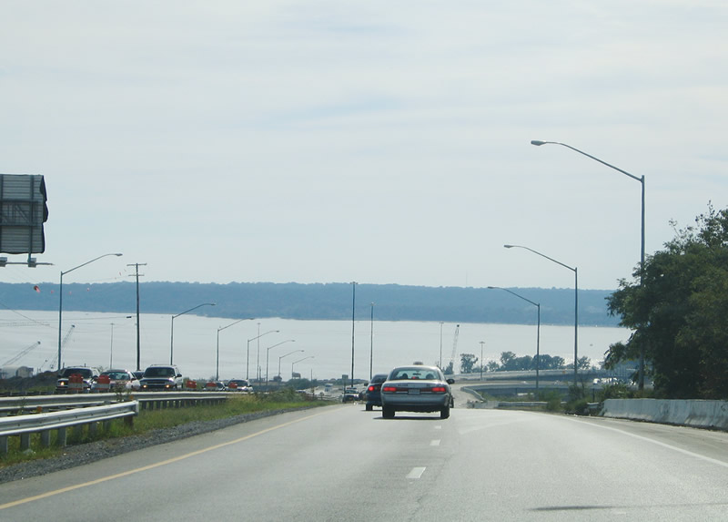
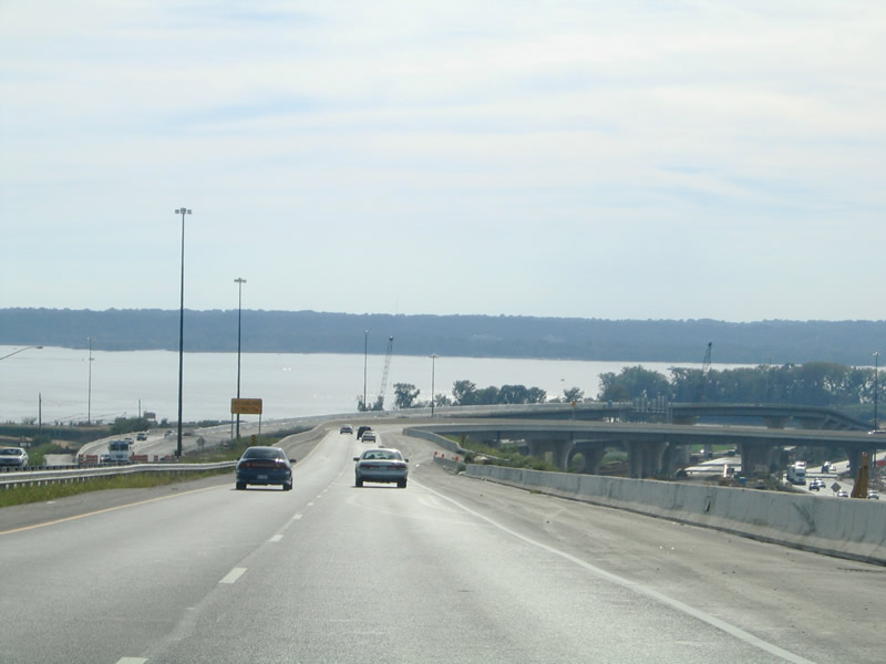
New ramps were added to and from Interstate 295 to the National Harbor development south of the Capital Beltway in conjunction with the redesign. 09/25/04
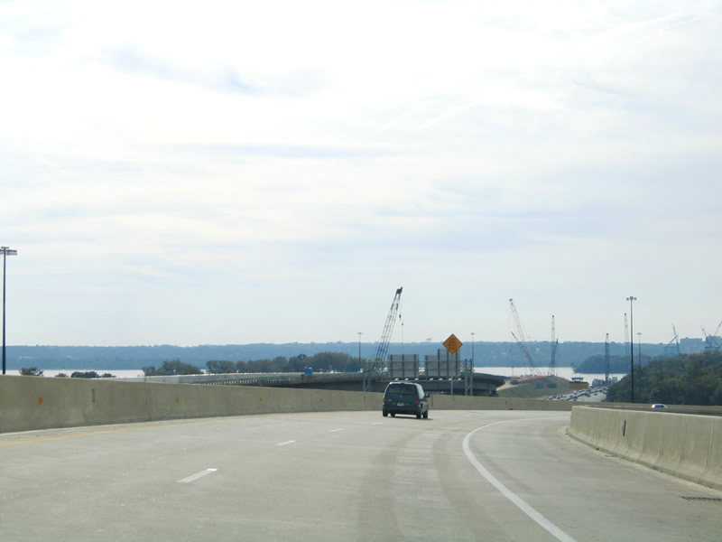
New ramps were added to and from Interstate 295 to the National Harbor development south of the Capital Beltway in conjunction with the redesign. 09/25/04
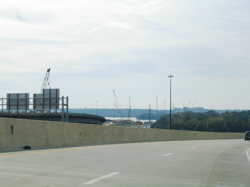
New ramps were added to and from Interstate 295 to the National Harbor development south of the Capital Beltway in conjunction with the redesign. 09/25/04
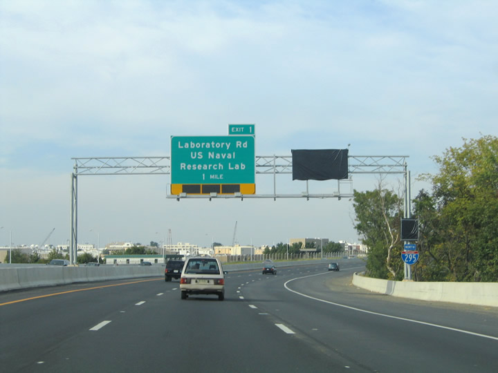
Guide signs for Exit 1 along I-295 originally displayed Laboratory Road for the US Naval Research Lab. Only the sign at the Exit 1 ramp departure references the road now. 09/25/04
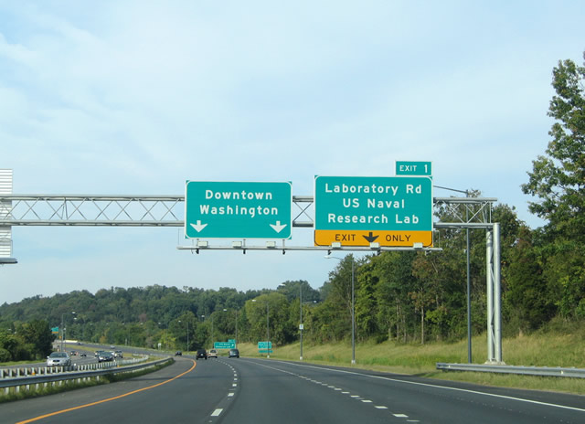
This Exit 1 overhead properly referenced the right-hand lane as exit only. Its replacement does not. 09/25/04
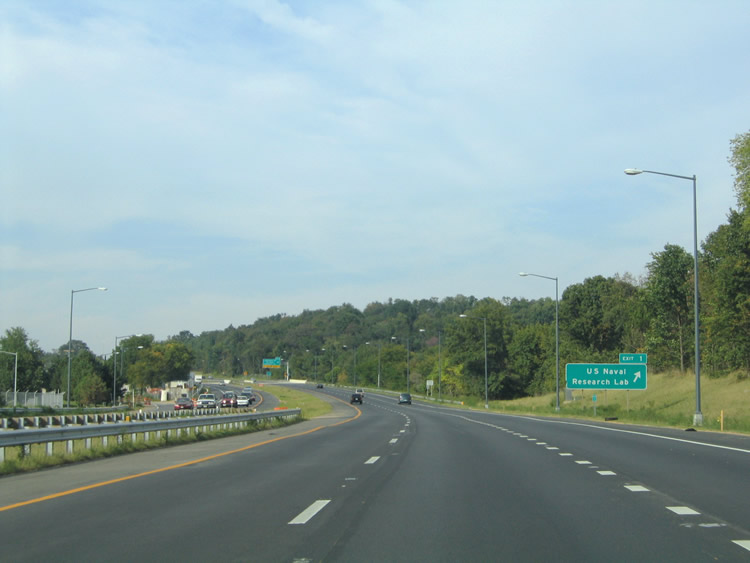
A former ground level sign for Exit 1 along I-295 north. 09/25/04
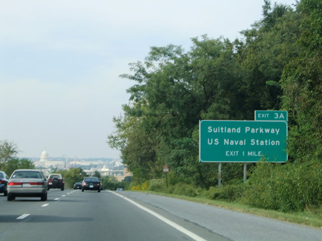
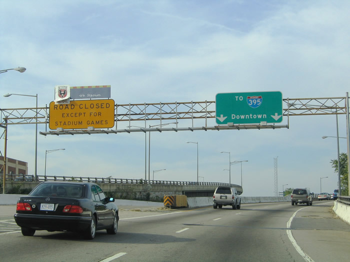
The United States Capitol Dome comes into view one mile south of Suitland Parkway. The one-mile sign for the east-west parkway was removed. 09/25/04
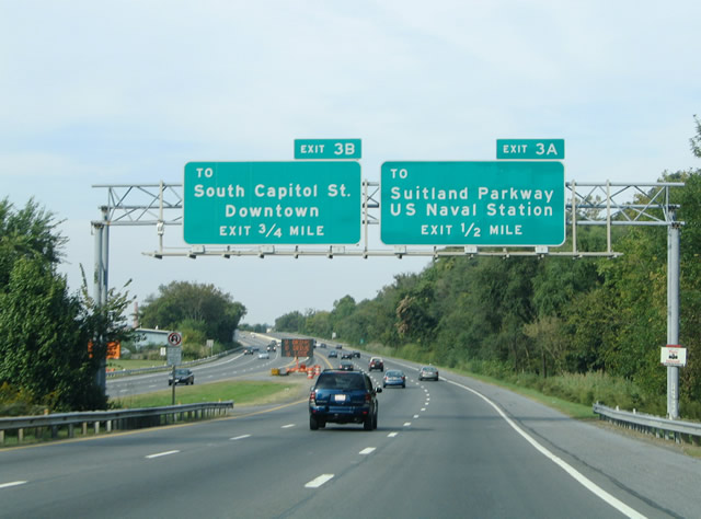
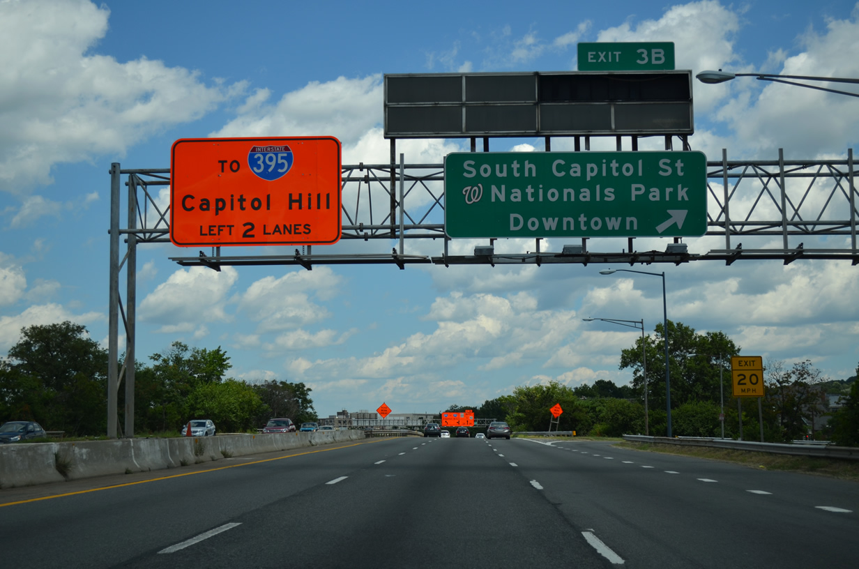
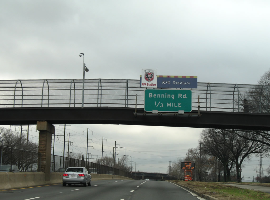
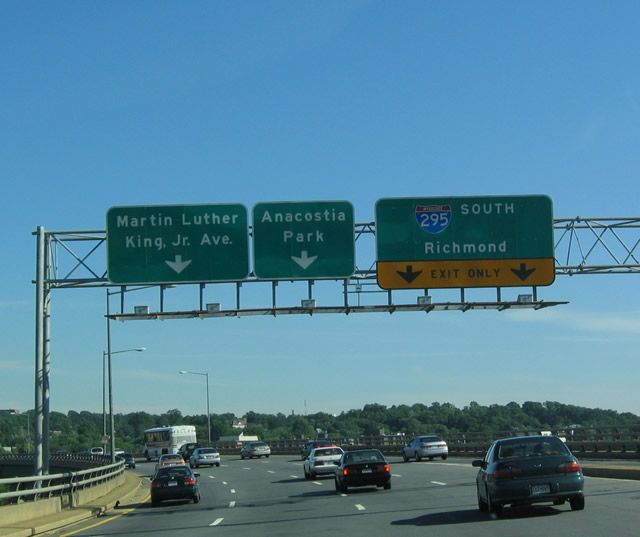
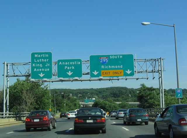
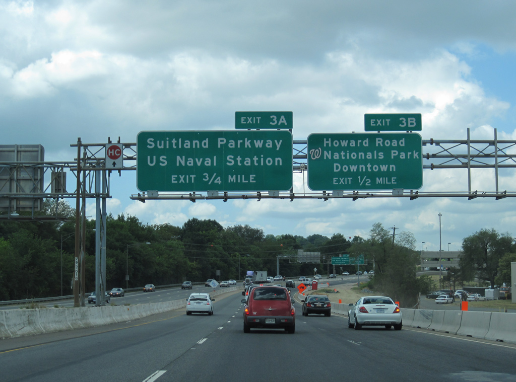
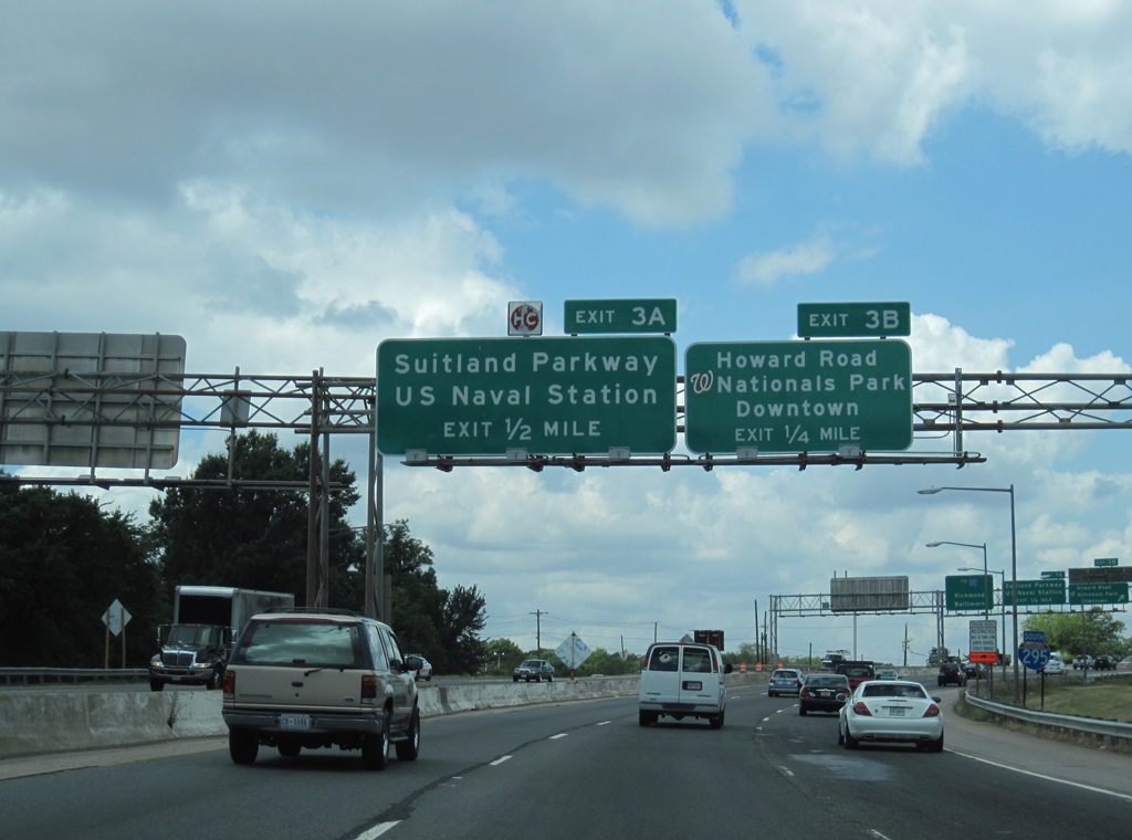
Guide signs for Exit 3B were replaced to reference the 2008-opened Nationals Park (home of the Washington Nationals baseball team). 09/25/04

Nationals Park was later added between South Capitol Street and Downtown for Exit 3B. 09/25/04
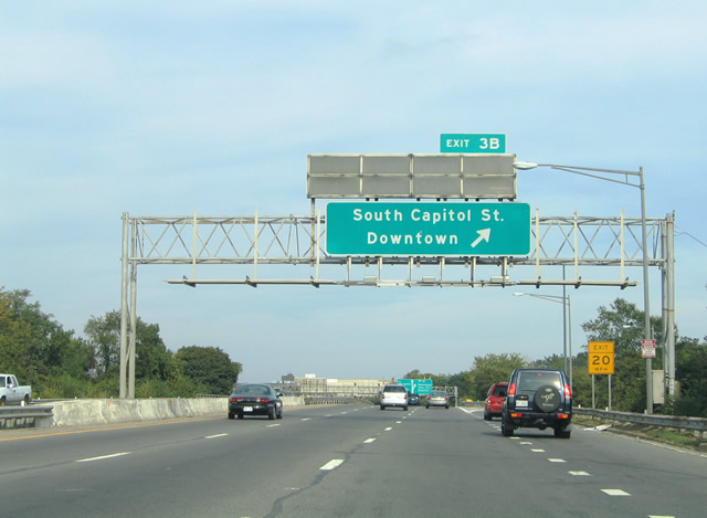
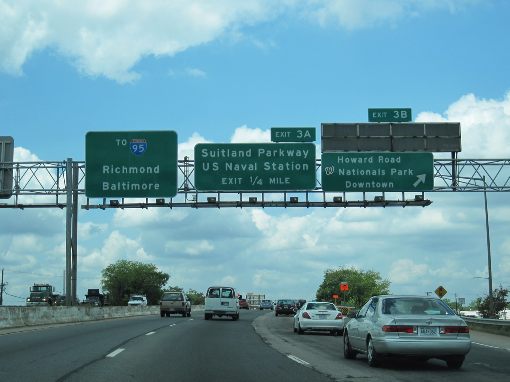
Exit 3B loops onto the west end of Suitland Parkway as it merges with South Capitol Street across the Frederick Douglass Memorial Bridge. 09/25/04
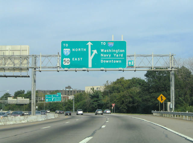
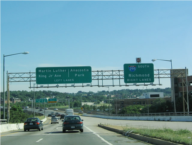
Interstate 295 prepared to split with the Anacostia Freeway for the 11th Street Bridge and the Southeast Freeway, then unsigned Interstate 695. 09/25/04
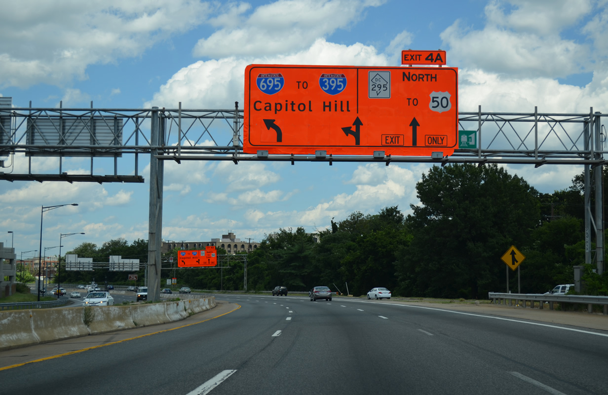
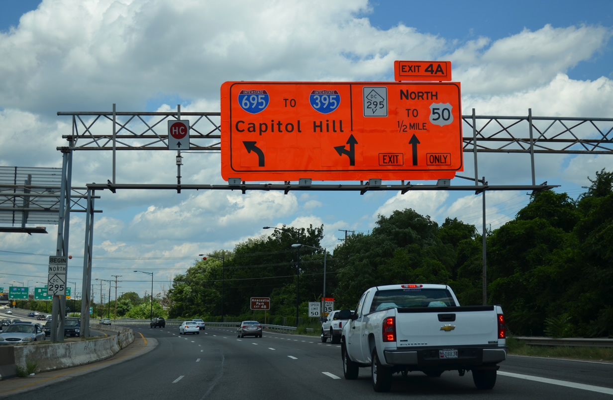
The diagrammatic overheads for the Interstate 295 (11th Street Bridge) and District of Columbia 295 (Anacostia Freeway) featured trailblazers for I-395 and I-95 & U.S. 50 respectively. I-295 followed the 11th Street Bridge north to end at I-695 (Southeast Freeway) while District of Columbia 295 continues the Anacostia Freeway northeast toward the Baltimore-Washington Parkway at Tuxedo, Maryland. 09/25/04
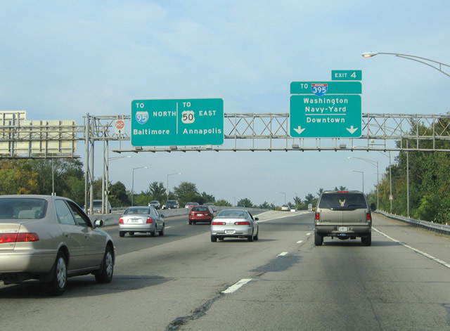
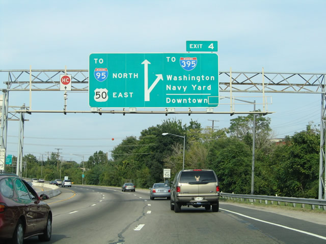
Interstate 295 exited from the Anacostia Freeway via Exit 4 onto the 11th Street Bridge. The Anacostia Freeway continues northeast to I-95 north for Baltimore and U.S. 50 east for Annapolis. 09/25/04
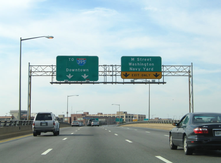
Interstate 295 became an unsigned route along the 11th Street Bridge across the Anacostia River. The freeway defaulted onto the Southeast Freeway westbound for I-395 to Downtown Washington. The right-hand two lanes defaulted onto 12th Street SE north for M Street SE and the Washington Navy Yard. 09/25/04
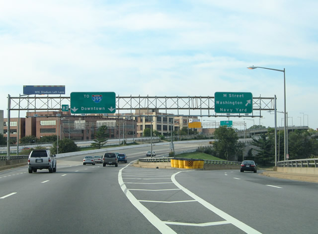
Traffic to M Street and the Washington Navy Yard left Interstate 295 north at the north end of the 11th Street Bridge. A left-hand lane began for the Barney Circle Freeway ramps that served RFK Stadium via Pennsylvania Avenue. The RFK ramps were only open during stadium events such as D.C. United soccer games. M Street parallels the Southeast Freeway from Maine Avenue east to Water Street. 09/25/04
I-295 north prepared to merge with I-695 (Southeast Freeway) west over the intersection of M Street and 11th Street SE. The RFK Stadium ramps to the Southeast Freeway east were to have continued Interstate 695 east onto the Barney Circle Freeway. The Barney Circle Freeway was to follow the Anacostia River northward to a new river bridge near East Capitol Street to District of Columbia 295 (Kenilworth Avenue freeway). 09/25/04
08/04/13
Temporary APL signage for the split of I-695 and D.C. 295 on I-295 north. 08/04/13
08/04/13
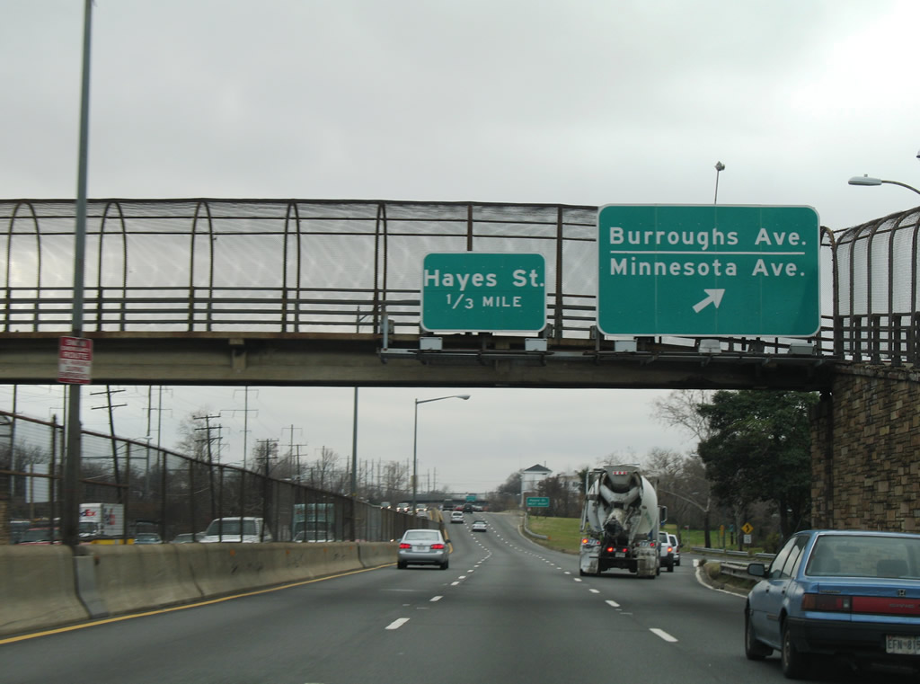
Sign changes made after 2010 reflect Foote Street for the following exit. 12/26/06
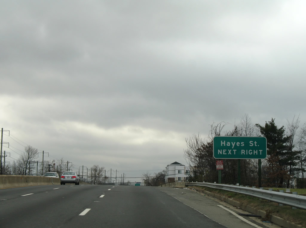
The 2010 ARRA reconstruction of the Kenilworth Avenue Freeway shifted the off-ramp to Benning Road slightly southward beyond Hayes Street. Decorative concrete walls replaced the metal guard rails pictured here. 12/26/06
The off-ramp onto Kenilworth Avenue south at Benning Road was closed and removed during 2009-2010 rebuilding of D.C. 295. Now all traffic is directed via the previous slip ramp ahead of Foote Street. 12/26/06
The now closed narrow off-ramp for Benning Road at the Metro overpass. 12/26/06
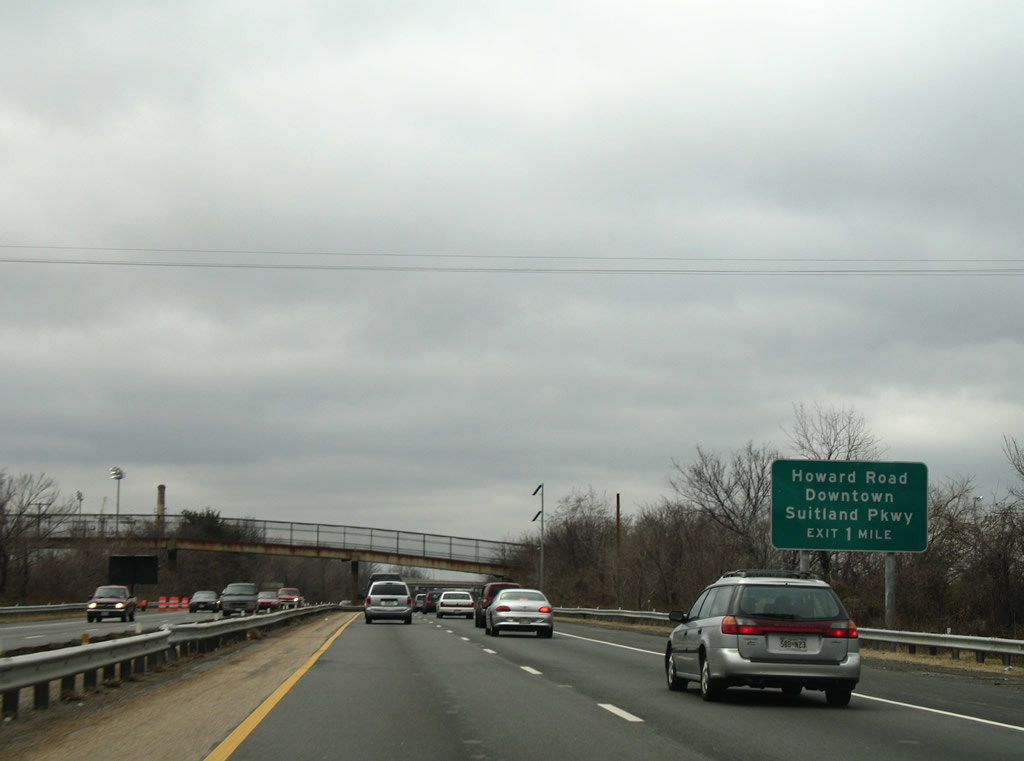
Former guide sign posted for Howard Road and Suitland Parkway ahead of the 2012-opened ramps with Interstate 695. 12/26/06
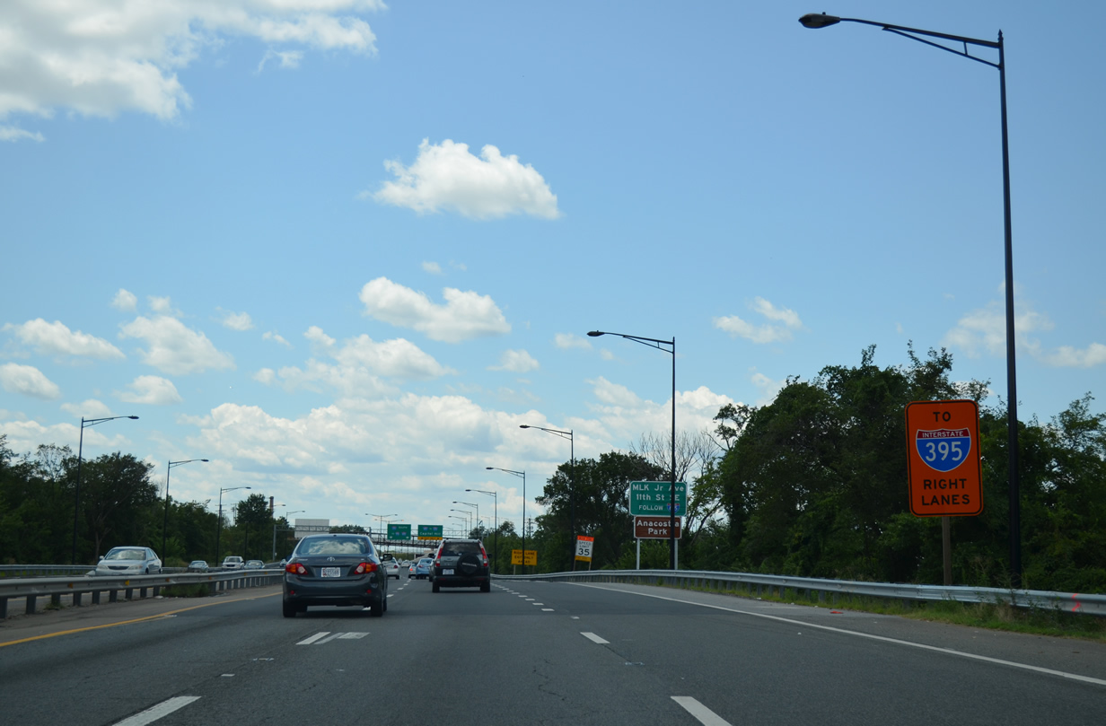
Temporary sign posted for the I-695 west connection with I-395 north from D.C. 295 south. Until 2012, there was no direct access between the Anacostia Freeway south to Interstate 395. 08/04/13
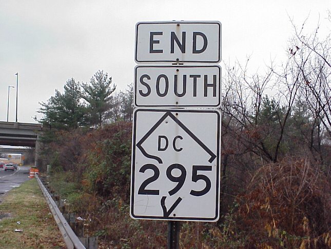
District of Columbia 295 end shield assembly that was posted ahead of the 13th Street over crossing. This assembly was removed as of 2009. 01/20/00
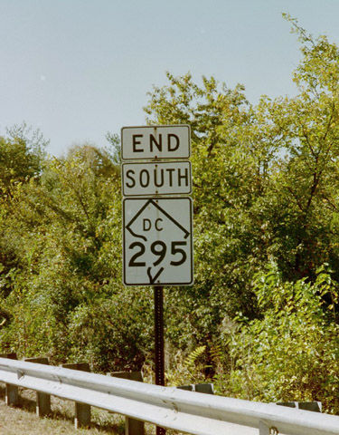
District of Columbia 295 end shield assembly that was posted ahead of the 13th Street over crossing. This assembly was removed as of 2009. 10/15/01
A begin sign was affixed to the 13th Street SE overpass above D.C. 295 south. This overpass was removed as part of the 11th Street Bridge project underway between 2009-14. D.C. 295 south now travels a high flyover above ramps with I-695 and 11th Street SE. 12/26/06
After the Southeast Freeway/Pennsylvania Avenue exit, Interstate 295 began its southerly journey on this transition ramp between Interstate 695 and the 11th Street Bridge. The 1960s viaduct was below Interstate standards with no shoulders. 06/01/04
Interstate 295 passed by the Washington Navy Yard to the southeast. 06/01/04
Exits at the south end of the 11th Street Bridge connected I-295 with Martin Luther King, Jr. Avenue southeast to Washington Highlands and Anacostia Park. These exits were unnumbered. 06/01/04
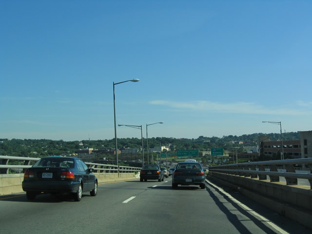
The four-lane freeway crosses the Anacostia River, with the two right lanes becoming the through lanes for southbound Interstate 295 (Anacostia Freeway) and the two left lanes exiting for Martin Luther King, Jr. Avenue and Anacostia Park. 06/01/04
Martin Luther King, Jr. Avenue leads south from the 11th Street Bridge to St. Elizabeths Hospital and Congress Heights. A right-hand ramp links the freeway with Good Hope Road at Anacostia Park. There was no access to D.C. 295 (Anacostia Freeway) north in this configuration. 06/01/04
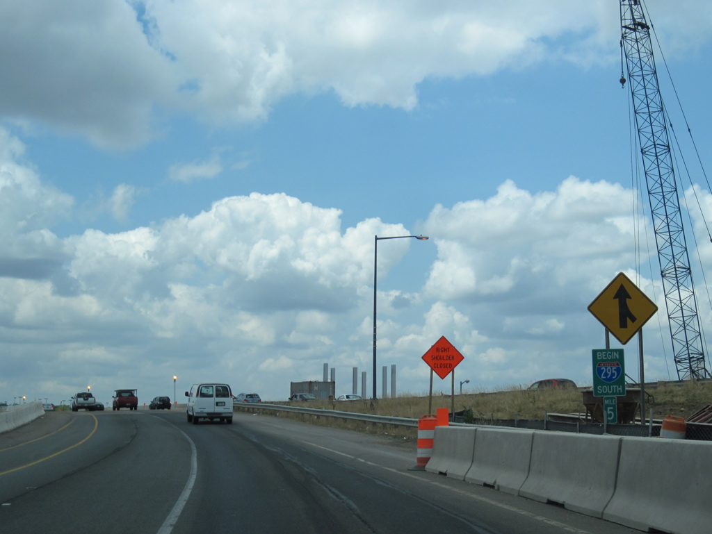
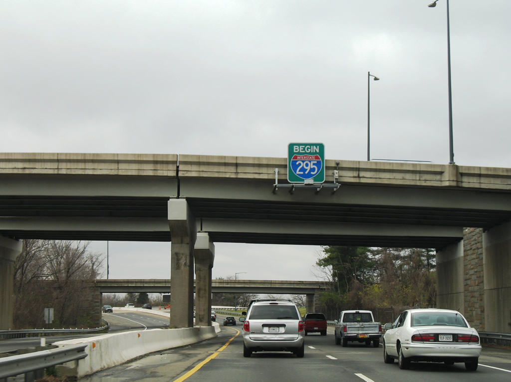
A small begin sign was posted for Interstate 295 south at milepost five during construction to add ramps to I-695 west and from I-695 east. 07/09/10
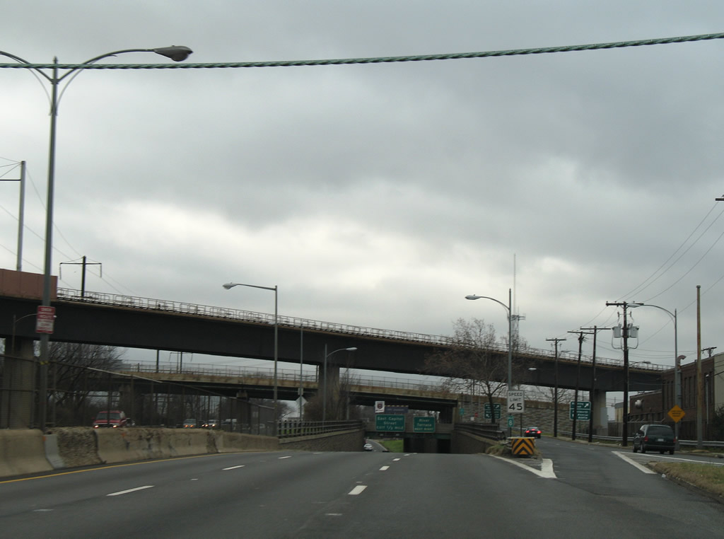
Interstate 295 south was expanded to four lanes from I-695 to Exit 3B with Howard Road. This scene looks at the original configuration ahead of the three-quarter cloverleaf interchange with Suitland Parkway. 07/09/10
Replaced overheads for Exit 3B to Howard Road west for the Frederick Douglass Memorial Bridge and Exit 3 to Suitland Parkway east to Andrews Air Force Base. 07/09/10
Signage for I-295 shifted to instead reference the connection with Interstate 95 at Exit 3B. 07/09/10
Photos by AARoads
Page Updated Wednesday September 18, 2024.