Interstate 295 District of Columbia

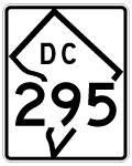
Photos showing older configurations for Interstate 295 at the Capital Beltway, the former stretch along the 11th Street Bridge, and replaced guide signs along the Anacostia Freeway (D.C. 295) freeway.
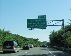
Exit 1 guide signs originally referenced just the US Naval Research Lab and not Blue Plains or DC Water. 06/01/04
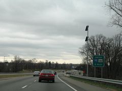
A seemingly temporary sign announced the two mile approach for both the Capital Beltway (I-95) and Maryland 210 along I-295 south. 12/26/06
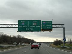
Sign replacements posted ahead of the Maryland state line referenced I-95 only along the Capital Beltway, carrying on sign designs from when I-495 was dropped east of D.C. between 1977 and 1989. 12/26/06
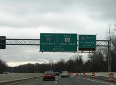
Replaced signs that were posted one half mile north of the off-ramp for I-95/495 south across the Woodrow Wilson Bridge. 12/26/06
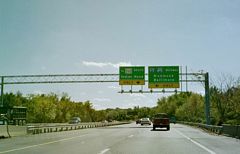
The beginning of the former configuration between Interstate 295 south at both the Capital Beltway and the 1.7-mile connector east to Maryland 210. 10/15/01
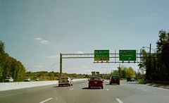
Interstate 295 south at the inner loop on-ramp for I-95/495 into Alexandria, Virginia. This ramp is more or less the same, but now joins the Local lanes of the Woodrow Wilson Bridge west. 10/15/01
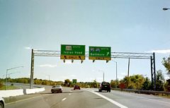
A loop ramp followed onto I-95/495 north as the I-295 mainline defaulted onto the 1990-completed connector to Maryland 210 (Indian Head Highway) south. 10/15/01
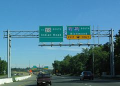
View of the previous split of Interstate 295 into ramps for I-95/495 and the Maryland 210 connector. Initial construction was underway to redesign the directional cloverleaf interchange with high speed flyovers as part of the 2009-completed Woodrow Wilson Bridge replacement project. 09/25/04
Photos by AARoads
Page Updated Wednesday September 18, 2024.


