Interstate 10 Alabama - East Archive

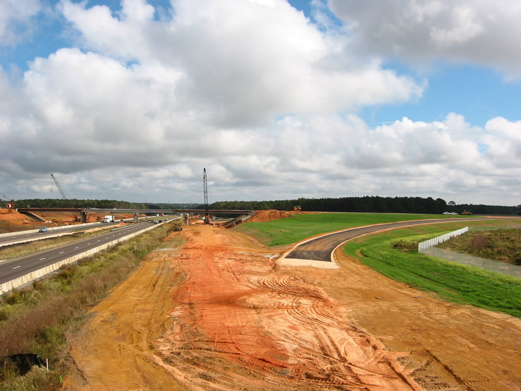
Looking east from the former McDonald Road overpass at construction of the distributor roadway system (Exit 10) for the new alignment of Mobile County Route 39. 11/05/03
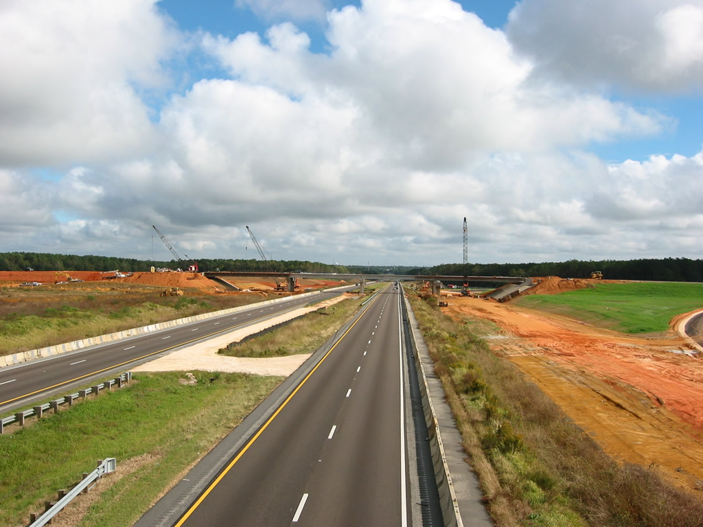
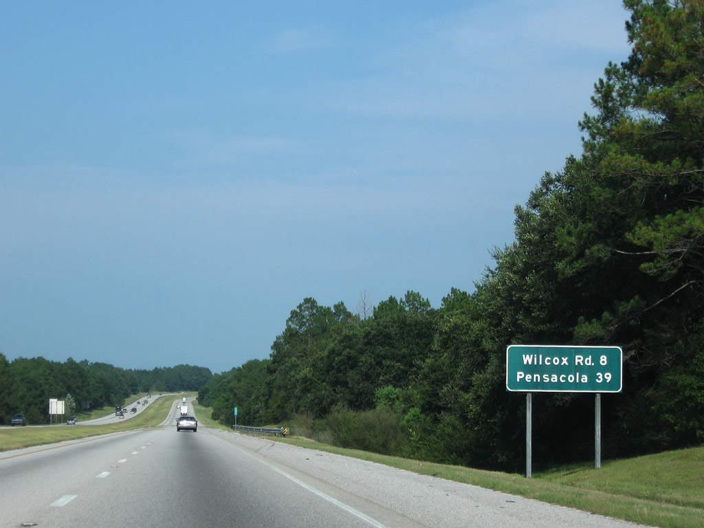
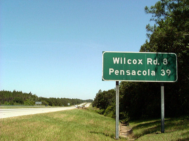
Four lanes of Interstate 10 at the future six-ramp parclo interchange (Exit 10) with Mobile County Route 39. The new four lane highway improved access from I-10 south to Bayou La Batre. 11/05/03
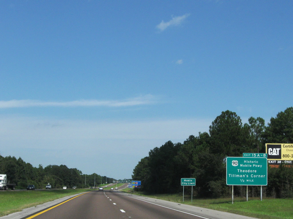
Expansion of Interstate 10 included a replacement of the ground level sign for U.S. 90, posted a half mile from Exits 15 A/B. The new sign ommitted U.S. 90 as Historic Mobile Parkway. 10/01/09
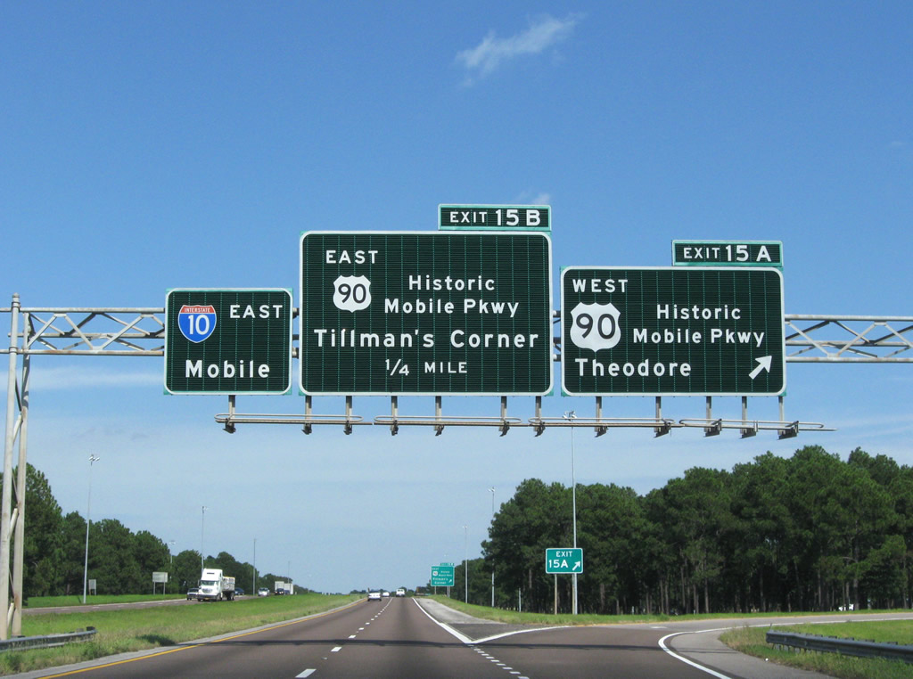
This sign bridge was replaced during widening of I-10 through the Theodore area in 2011-13. This was the first in a series of slotted signs along I-10 east. The oversized U.S. 90 shield replaced a shield blown down by Hurricane Katrina in 2005. 10/01/09

I-10 spans U.S. 90 east ahead of Exit 15 B. The substandard overpasses for I-10 above U.S. 90 were replaced during expansion project. 10/01/09
A previous sign for SR 193 (Rangeline Road) and Tillman's Corner. The sign was subsequently amended in Spring 2004 with the exit tab moved from the left to the right before the entire assembly was replaced by 2006. 11/05/03
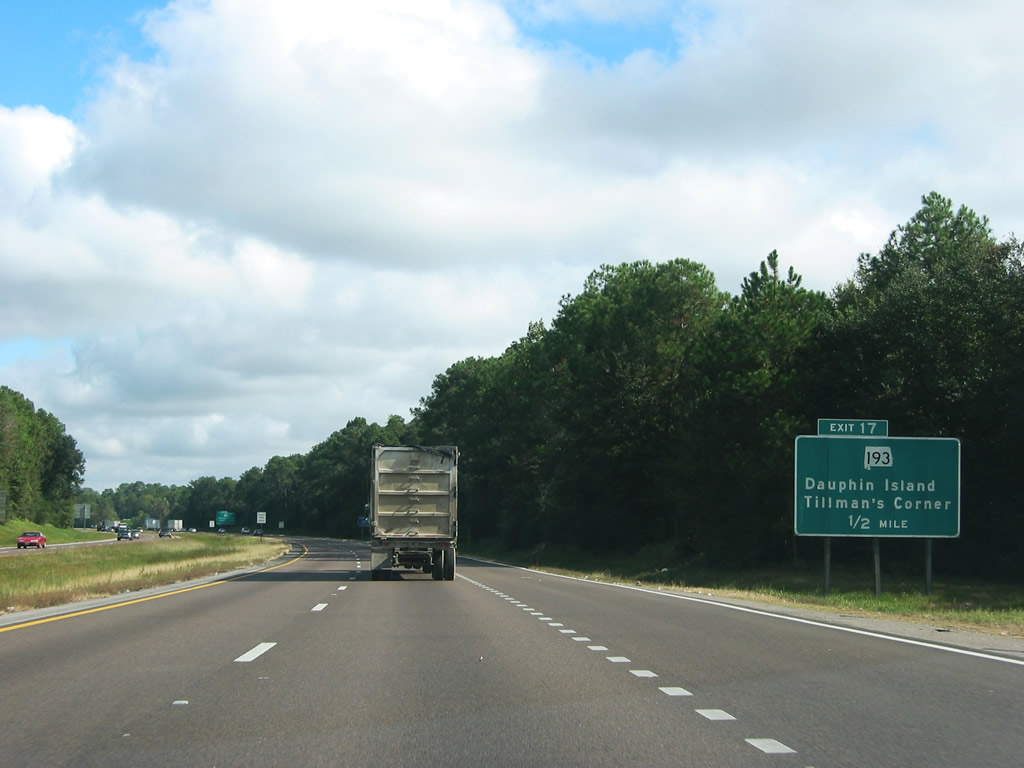
I-10 east a half mile from Exit 17 during freeway widening construction. 04/20/12
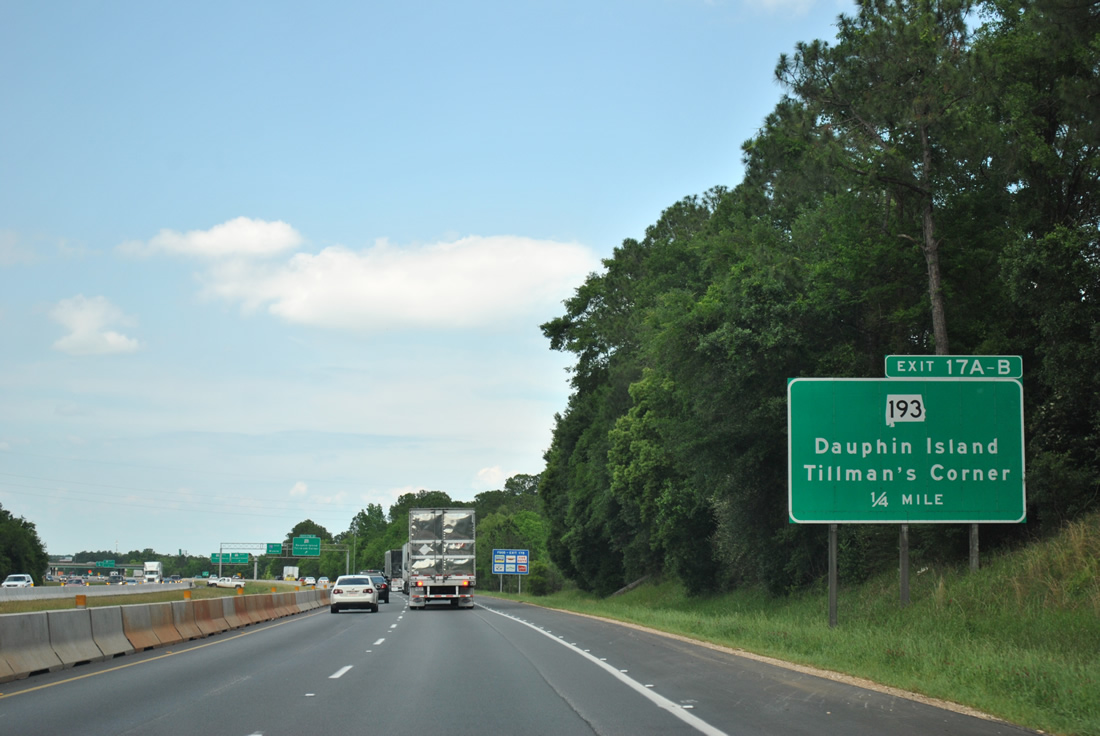
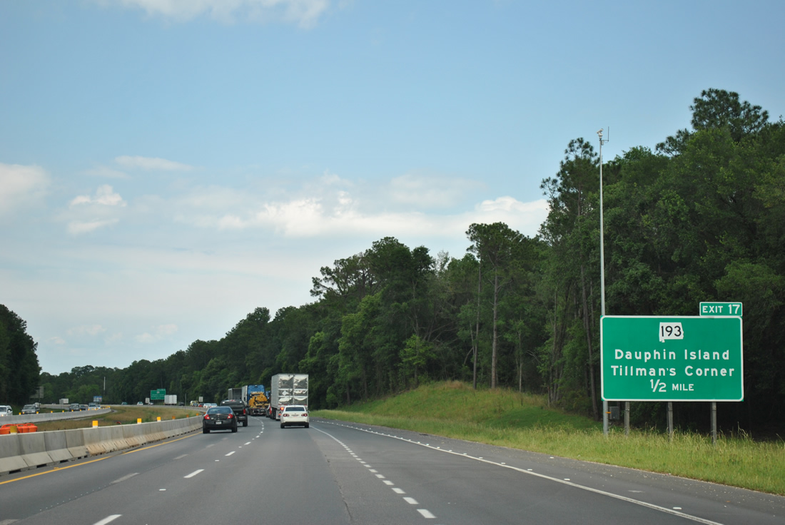
One quarter mile ahead of the c/d roadway for SR 193 along I-10 east during construction expanding the freeway to six lanes. All ground level signs for Exit 17 were replaced during the road work. 04/20/12
Since replaced, this trailblazer for I-10 appeared along the c/d roadway for SR 193 at Exit 17. 10/25/03

I-10 previously expanded to six lanes from Exit 17 eastward into Mobile. This assembly was replaced by 2009 and later removed during widening. 10/25/03
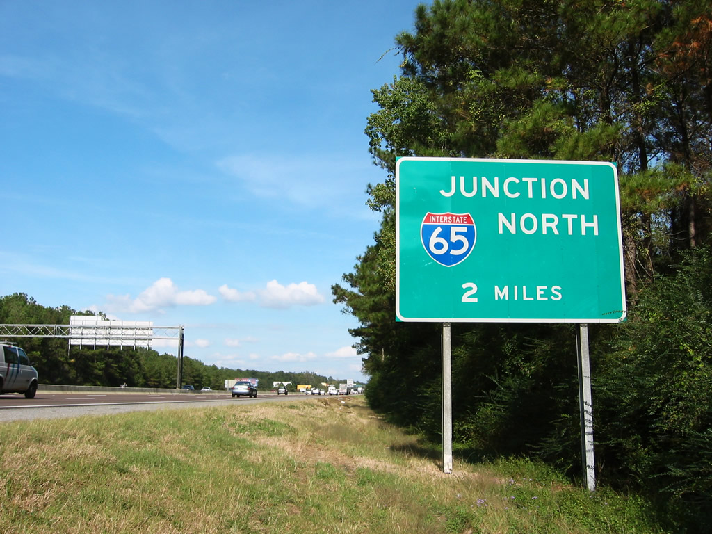
This ground level sign was the first in a series of signs posted for the south end of Interstate 65. It was replaced with an overhead during 2011-13 expansion. 10/30/03
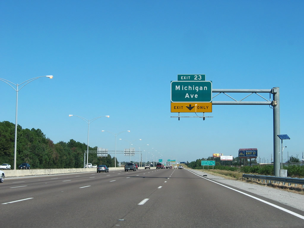
This overhead for the lane drop at Exit 23 / Michigan Avenue was replaced by 2014. 11/03/03
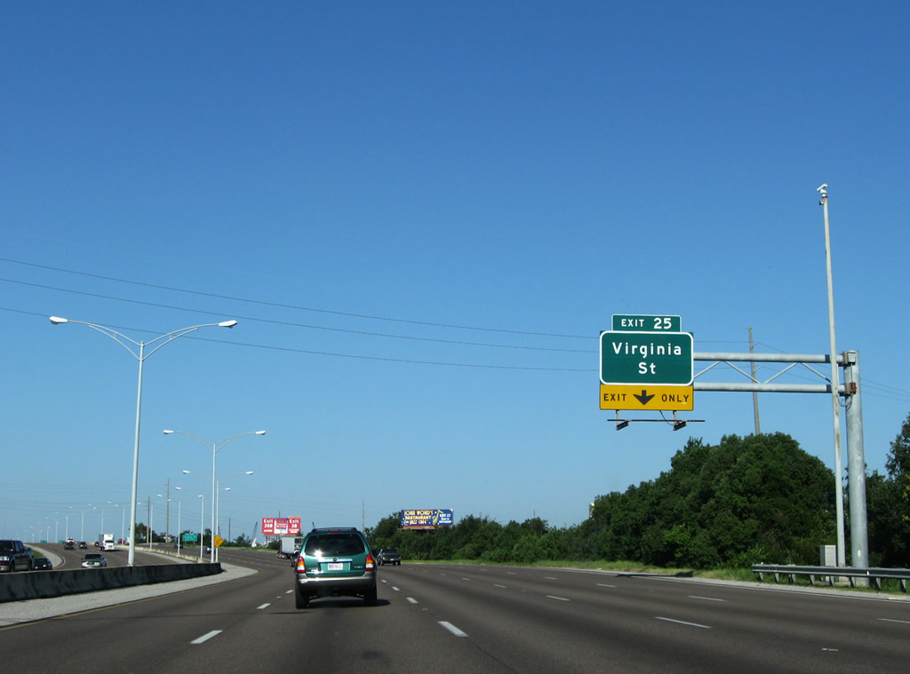
I-10 east expands to five lanes between Exits 24 and 25. A Clearview font based sign replaced this overhead for Virginia Street in April 2013. 09/26/08
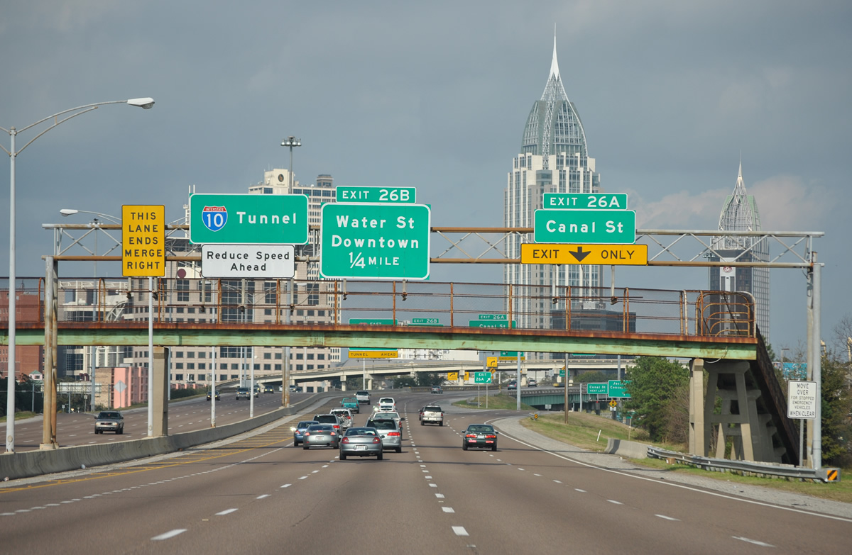
The abandoned pedestrian over crossing between James Seals Park and Conception Street was dismantled as part of a $14.68 million project resurfacing I-10 between Halls Mill Creek and the Wallace Tunnel west end underway from April 21, 2014 to July 2015. 01/01/12
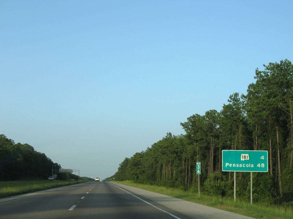
This sign erroneously displayed the distance to Alabama State Route 181 at four miles. It was corrected by 2009 to display three miles. 07/17/07
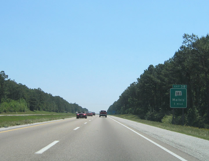
New signs installed in 2005 for Exit 38 replaced Malbis with Daphne and Spanish Fort as the control cities. 05/24/04
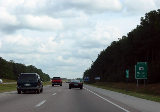
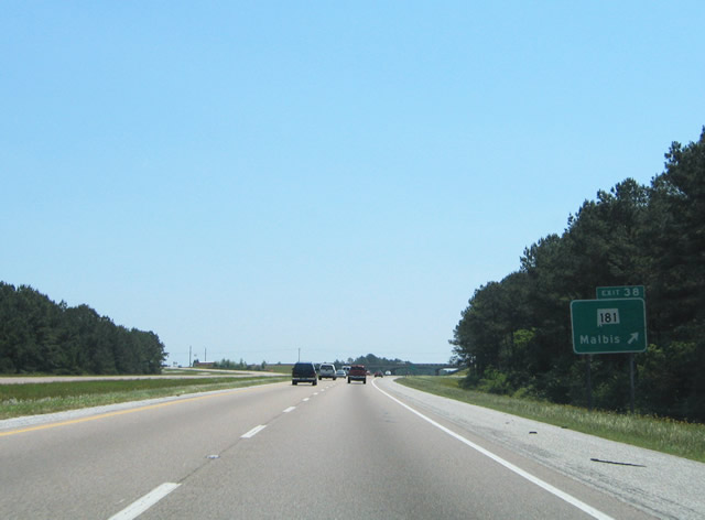
Replaced guide sign for SR 181 that was posted a half mile ahead of Exit 38. The previously rural diamond interchange is mostly commercial now. 08/21/03
Exit 38 departed I-10 east before construction of the adjacent car dealerships and other nearby retail development. 05/24/04
The button copy distance sign posted eastbound beyond SR 59 was finally replaced in September 2009. 07/08/09
The last sign with button copy on Interstate 10 eastbound in Baldwin County was this distance sign posted east of Exit 44. 05/14/02
Photos by AARoads
Page Updated Sunday January 19, 2025.