
U.S. 13 Delaware – North
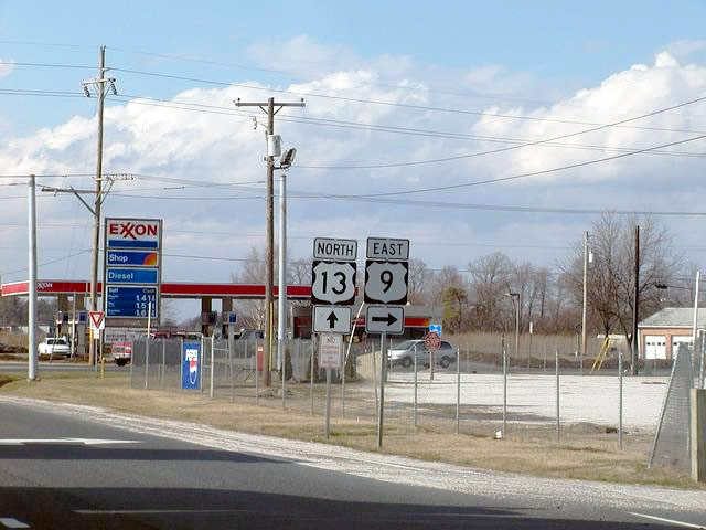
Older shield assembly posted at the junction of U.S. 13 (Sussex Highway) north with U.S. 9 (County Seat Highway) east. December 2001
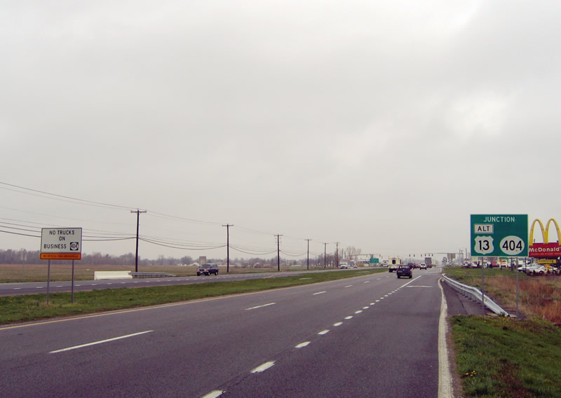
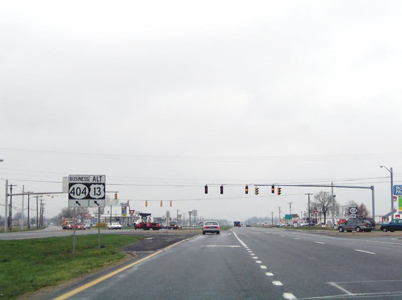
Approaching the original intersection joining U.S. 13 (Sussex Highway) north with SR 404 (Seashore Highway) east and U.S. 13 Busines /SR 404 Business (Main Street) north into Bridgeville.<br /> This sign, which erroneously referenced U.S. 13 Alternate instead of Business, was eventually removed during construction to realign SR 404 and SR 404 Business at U.S. 13. Replacement signs only reference SR 404 Business now. 04/13/04
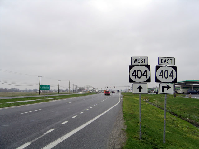
An intersection with an acute angle brought SR 404 west onto U.S. 13 (Sussex Highway) north for its bypass of Bridgeville. Realignments of both SR 404 to the east and U.S. 13 Business to the west were made in 2008 to bring both roads to U.S. 13 at a 90 degree angle. 04/13/04
Another sign incorrectly referenced U.S. 13 Business as an Alternate route. Prior to 1970 it was U.S. 13 Alt. The bannered route otherwise combines with SR 404 Business for 1.6 miles along Main Street. 04/13/04
Removed mileage sign that was posted north of the SR 404 west merge with U.S. 13 north outside Bridgeville. A reassurance shield assembly for both routes stands along the rebuilt Sussex Highway here now. 04/13/04
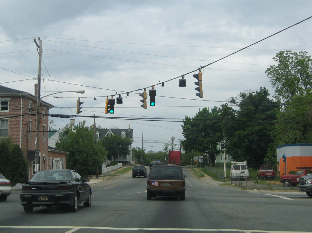
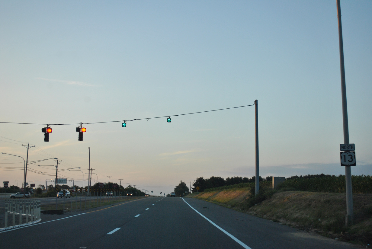
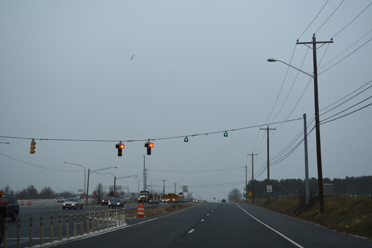
The span wire array of traffic lights on U.S. 13 north at Denneys Road in north Dover was replaced with mast arms by 2019. 12/18/16
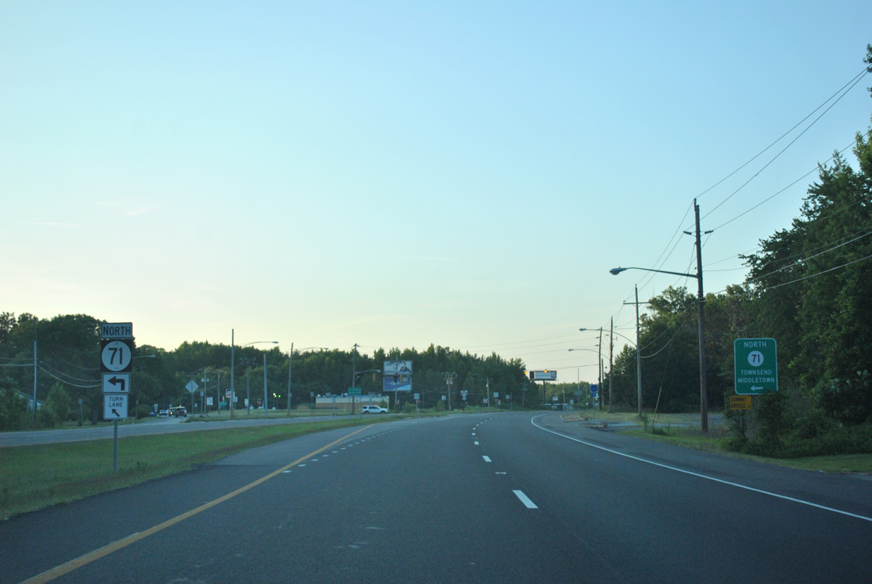
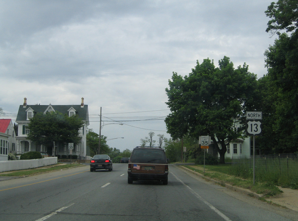
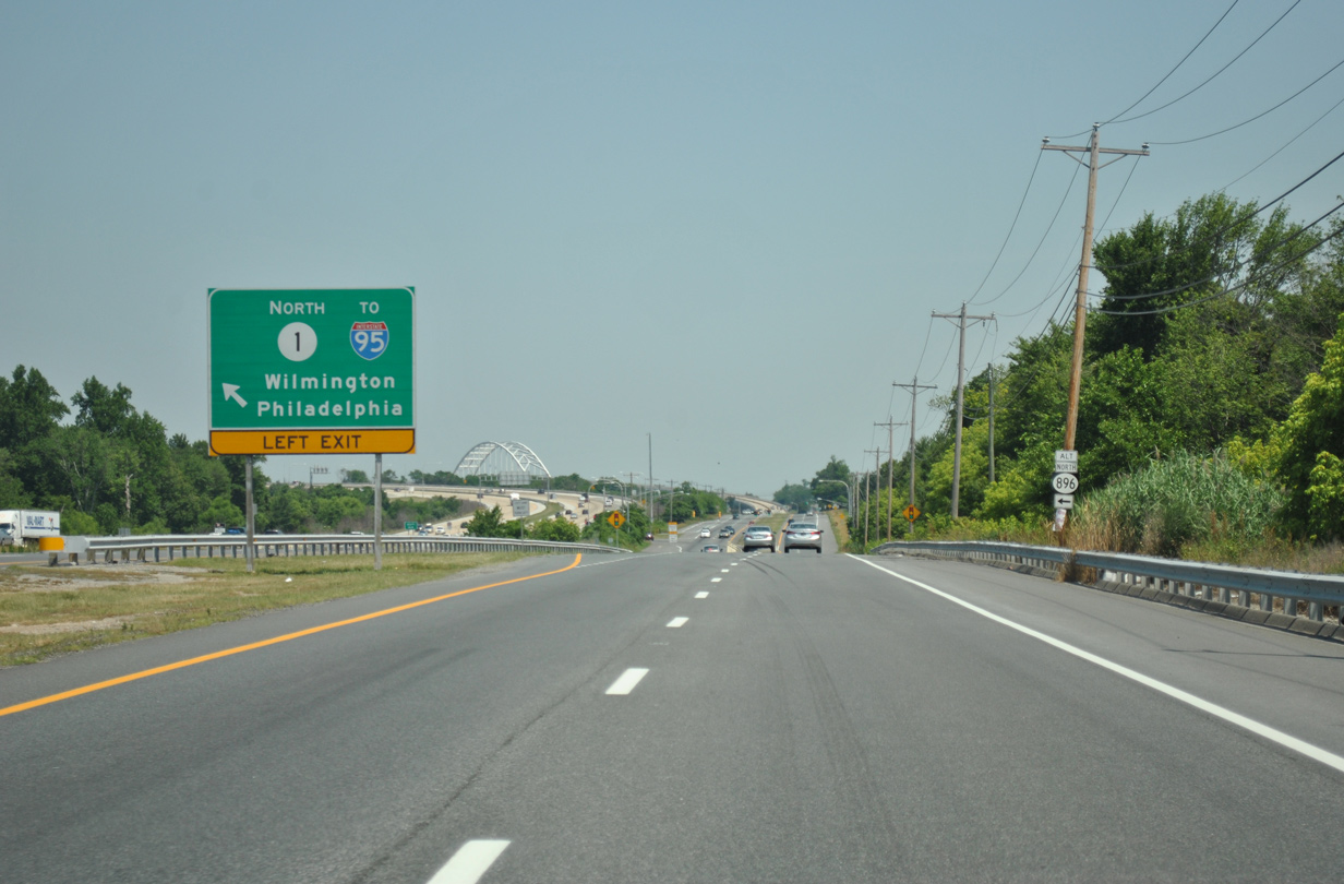
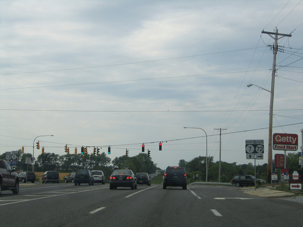
U.S. 13 north at SR 71 (Summit Bridge Road). 06/17/12
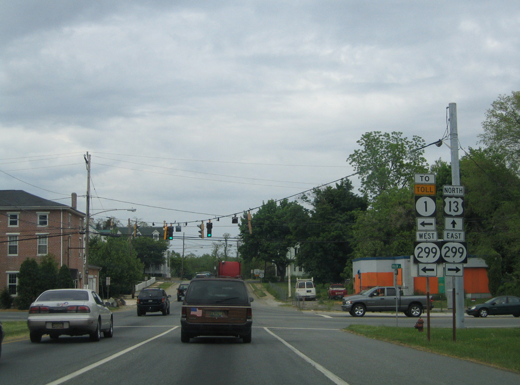
Replaced shield assembly along U.S. 13 (Dupont Parkway) north at Delaware 299 (Main Street) in Odessa. 05/15/05
All but one of the older Eagle signals in use at U.S. 13 and SR 299 in Odessa were replaced by 2012. Mast arm supported signals were installed here in 2013. 05/15/05
This U.S. 13 marker was posted after Delaware 299 until 2008, when it was replaced by an evacuation route trailblazer. That too was taken down by 2014. 05/15/05
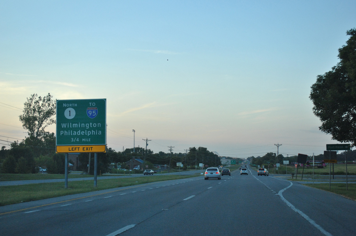
U.S. 13 (Dupont Parkway) north at Port Penn Road, 0.75 miles from the left side ramp to SR 1 across the Chesapeake and Delaware Canal. This guide sign was replaced with a Clearview Font based panel by 2012. 05/15/05
Construction of the SR 1 wye interchange with U.S. 301 includes a new ramp for SR 1 north from U.S. 13 at Port Penn Road here. 06/17/12
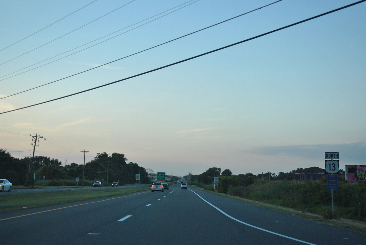
Reassurance marker posted for U.S. 13 north between Port Penn Road and Scott Run. Ramps with the U.S. 301 toll road were built along side this stretch. 06/17/12
Signs still reflected the temporary routing of U.S. 13 across the Delaware 1 Chesapeake and Delaware Canal Bridge in 2004. 08/10/04
Greenouts were applied to Delaware 1 north signs at South St. Georges by 2005 to reference I-95 in place of U.S. 13. 05/15/05
The on-ramp from U.S. 13 north to SR 1 at South St. Georges was closed after the new connection from Port Penn Road opened. 06/10/12
Approaching South St. Georges on U.S. 13 north. 06/10/12
Delaware 1 used U.S. 13 north from Boyds Corner to the South St. Georges on-ramp until 1999. 08/10/04
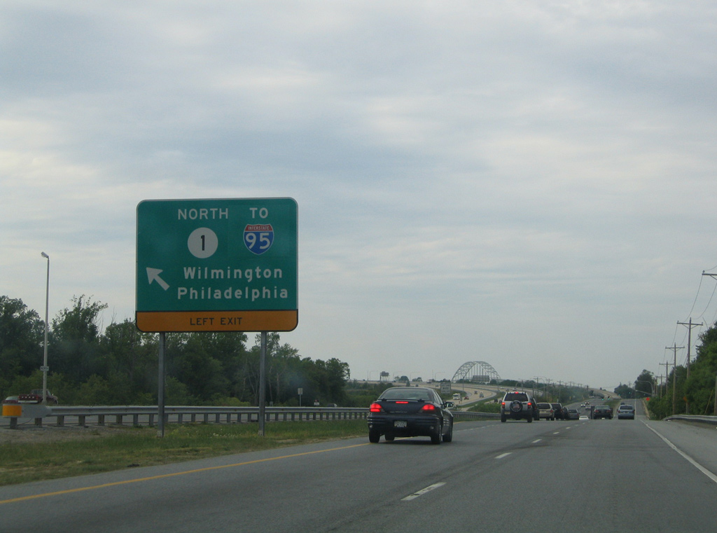
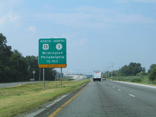
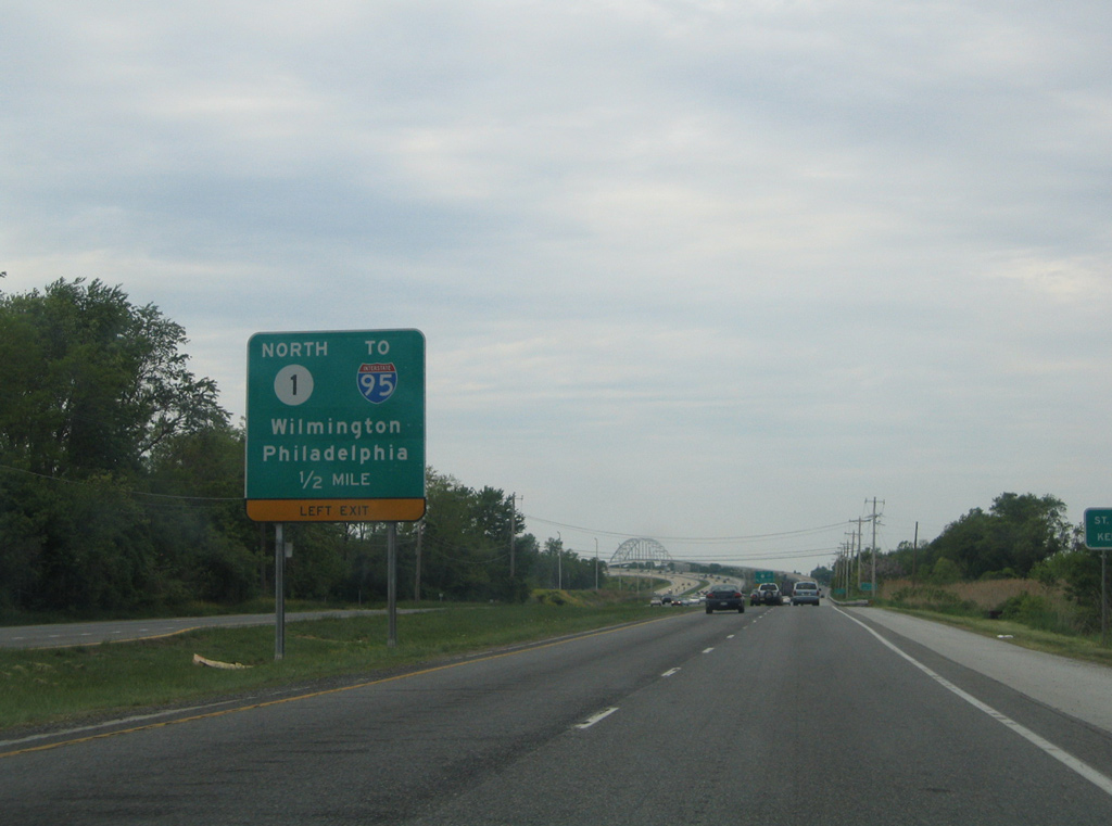
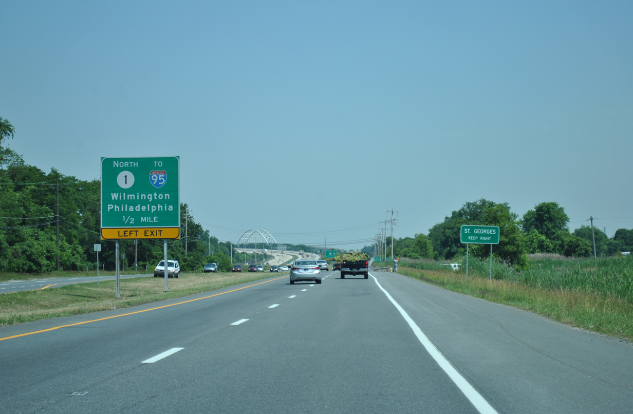
This sign for SR 1 north was also replaced by 2012. St. Georges Bridge appears in the distance. 05/15/05
The ramp to SR 1 north at South St. Georges closed during work to construct the U.S. 301 toll road in 2018. 06/10/12
U.S. 13 during construction of the First Coast Responders Memorial Highway taking U.S. 301 north onto parallel SR 1. 12/15/17
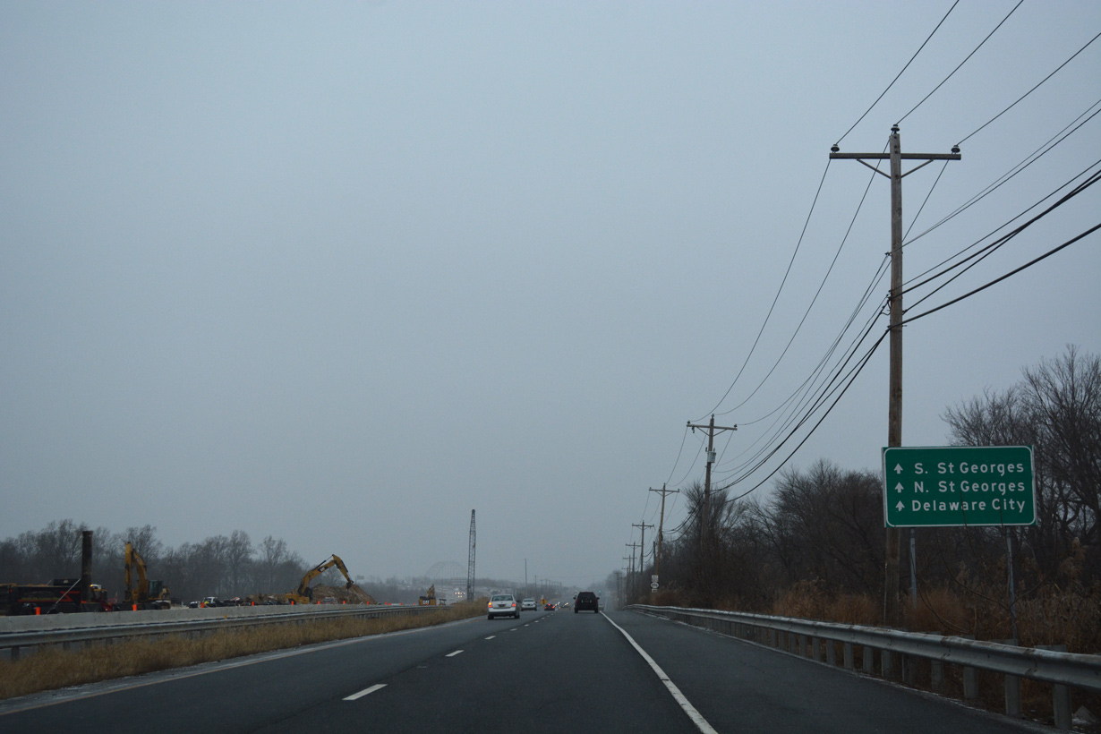
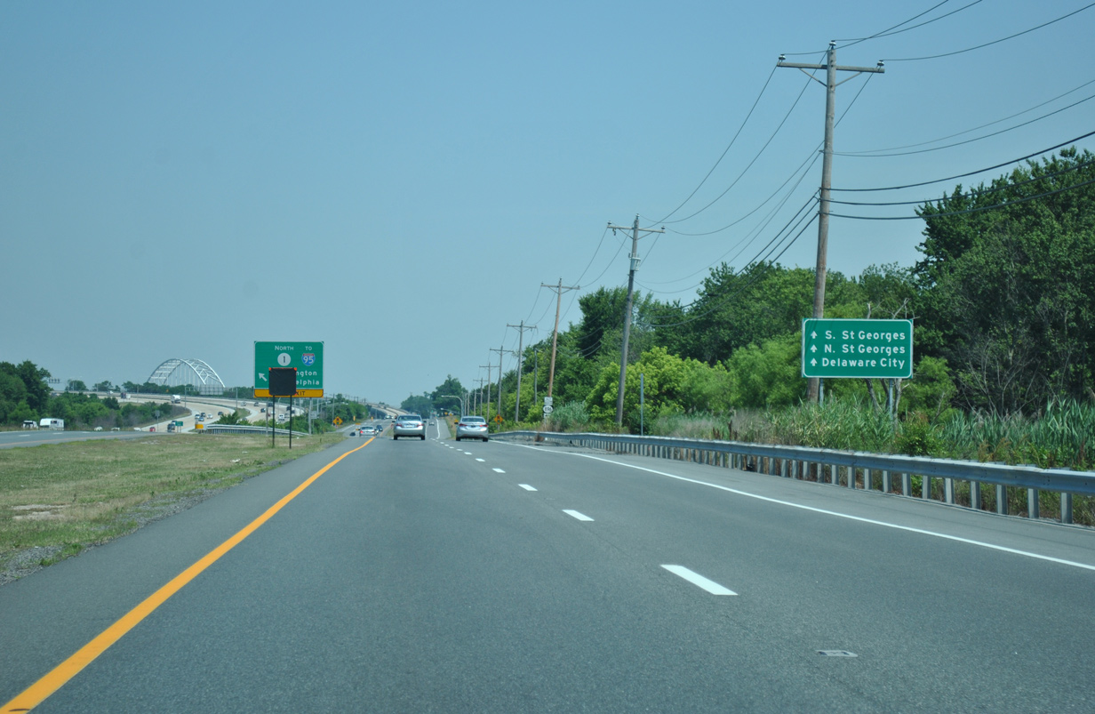
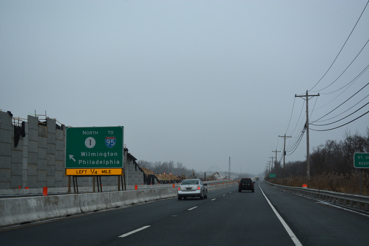
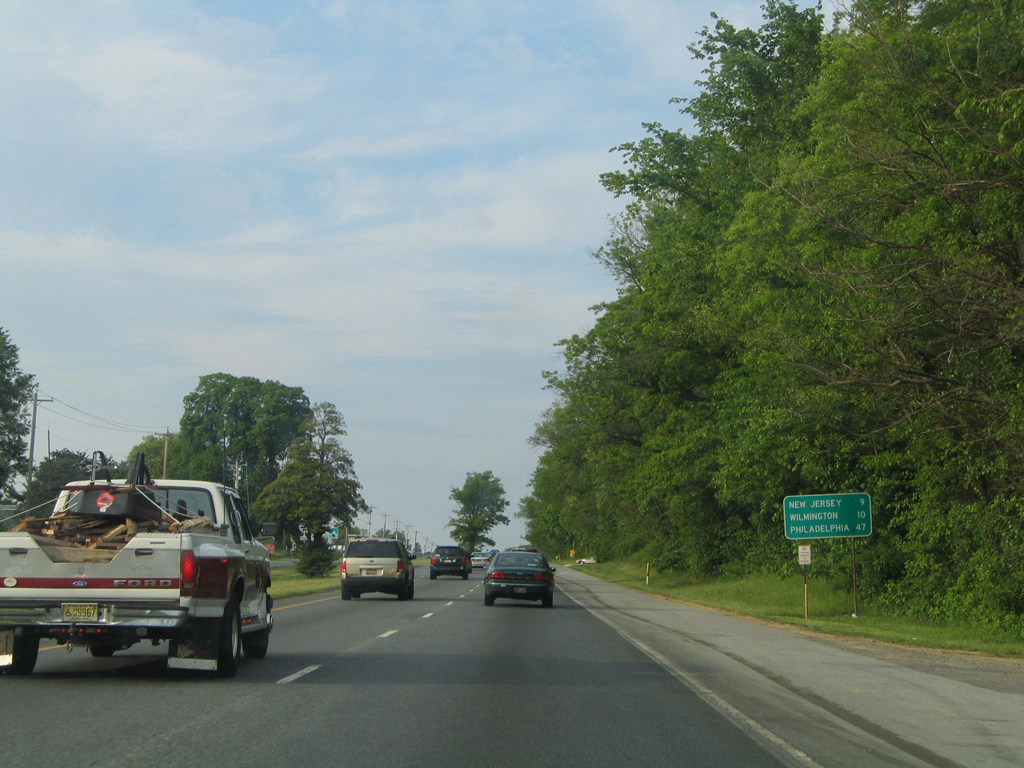
U.S. 13 (Dupont Parkway) serves local traffic beyond the entrance ramp to SR 1 for both St. Georges and Cox Neck Road east to Delaware City. 12/15/17
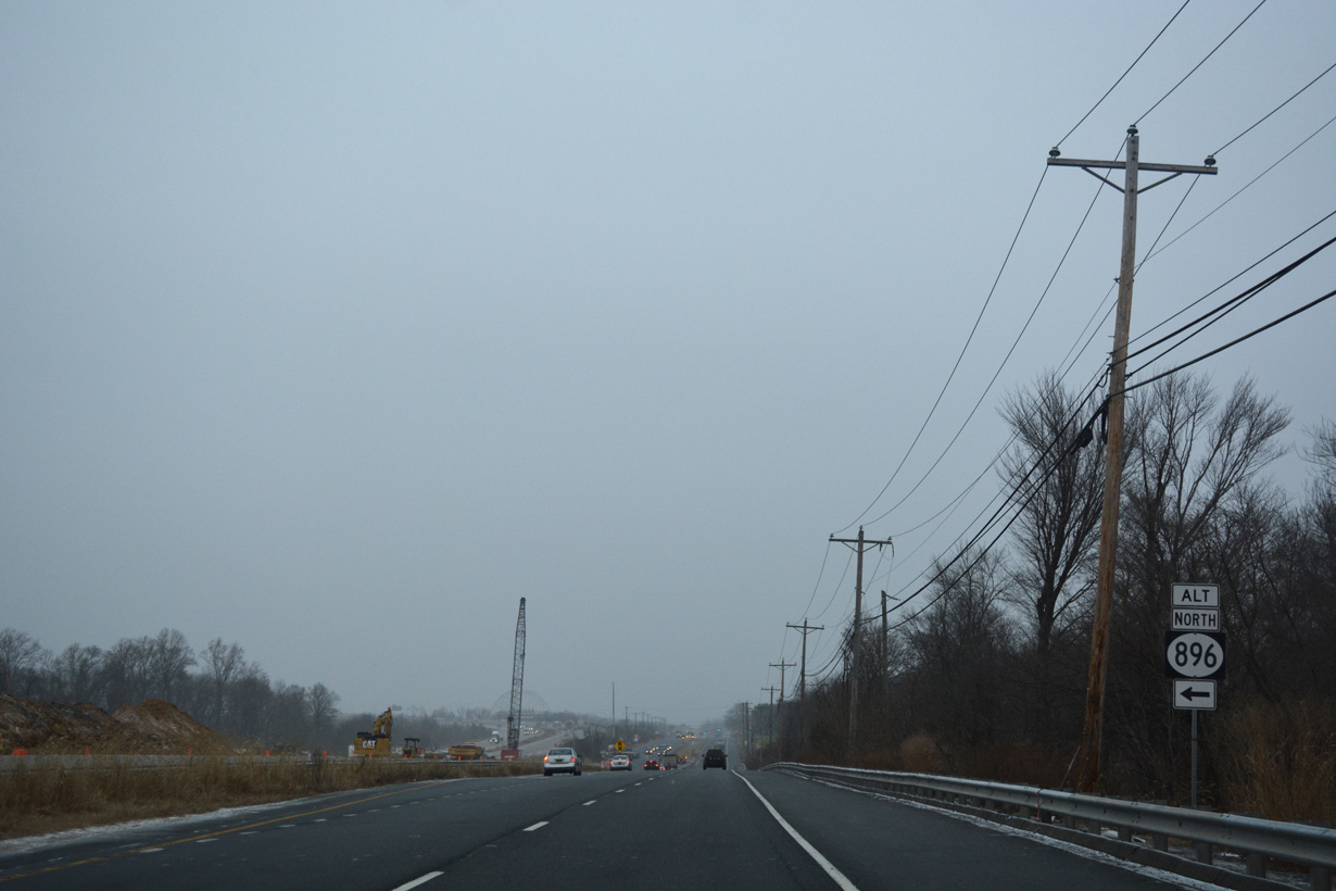
A remaining SR 896 Alternate trailblazer preceded the on-ramp from U.S. 13 to SR 1 north at South St. Georges. SR 896 Alt was established during rehabilitation of the Summit Bridge. 12/15/17
The ramp to SR 1 north at South St. Georges closed during work to construct the U.S. 301 toll road in 2018. 06/17/12
The former left side ramp to SR 1 north from U.S. 13 (Dupont Parkway) at South St. Georges. 12/15/17
Rising onto St. Georges Bridge along U.S. 13 north when the span still carried four lanes of vehicular traffic. The outside lanes were repurposed into bike lanes. 05/15/05
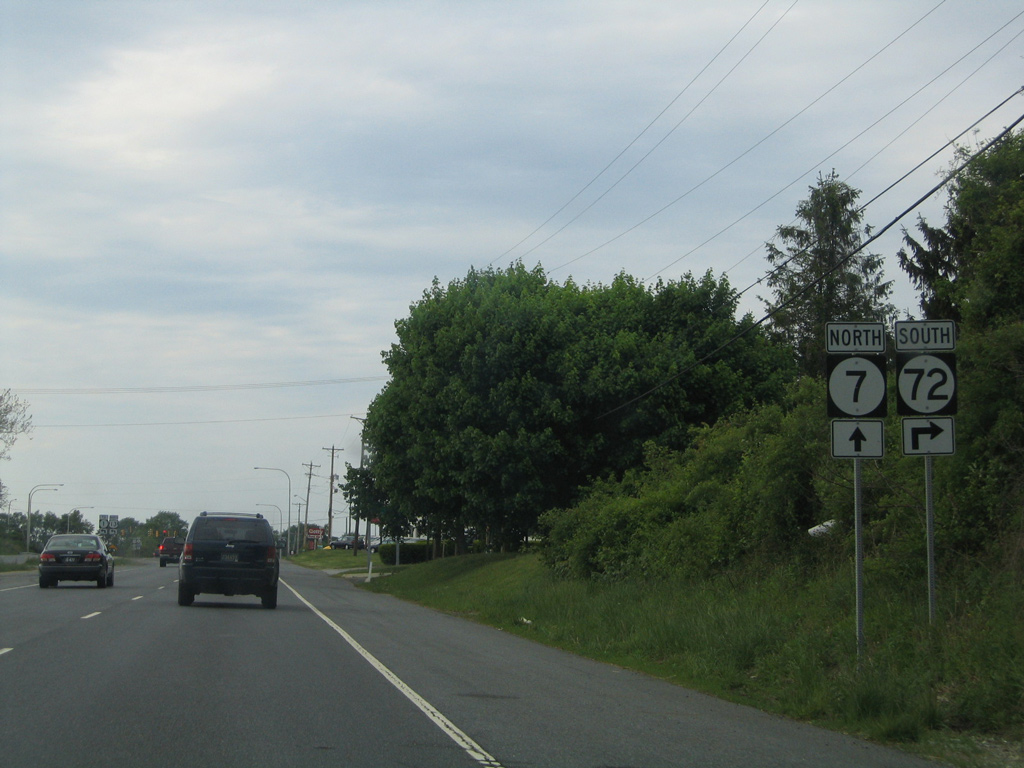
U.S. 13 turns west from Dupont Parkway to join SR 1 via SR 72 at Wrangle Hill while SR 7 north travels along a portion of the original Dupont Parkway to Bear Corbitt Road. This shield assembly was removed by 2012. 05/15/05
A replacement of this shield assembly at Wrangle Hill only referenced SR 72 north and south (SR 7 was later re-added). The state route forms an arc between the Delaware City area and the Upper Pike Creek Valley north of Newark. 05/15/05
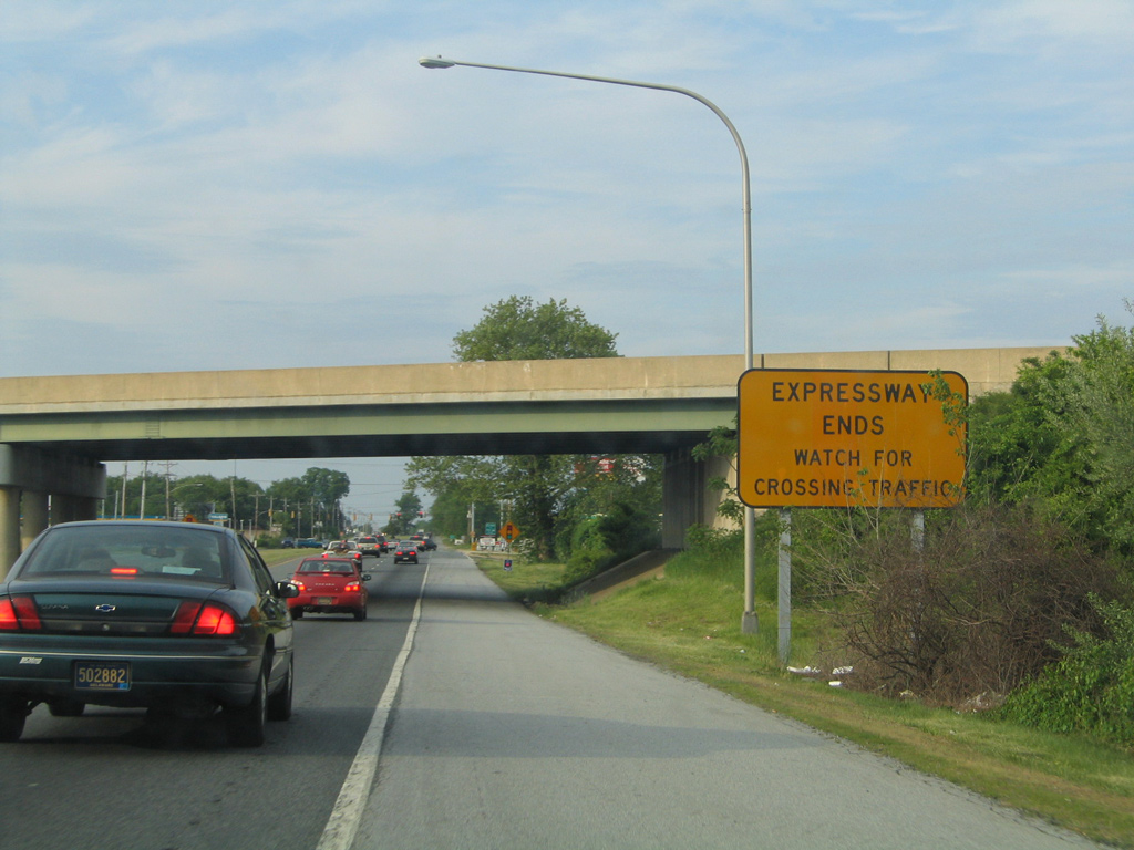
This Expressway Ends sign was posted within the trumpet interchange between U.S. 13 and SR 1. It was removed when the adjacent intersection with SR 71 was signalized on October 25, 2007. 05/15/05
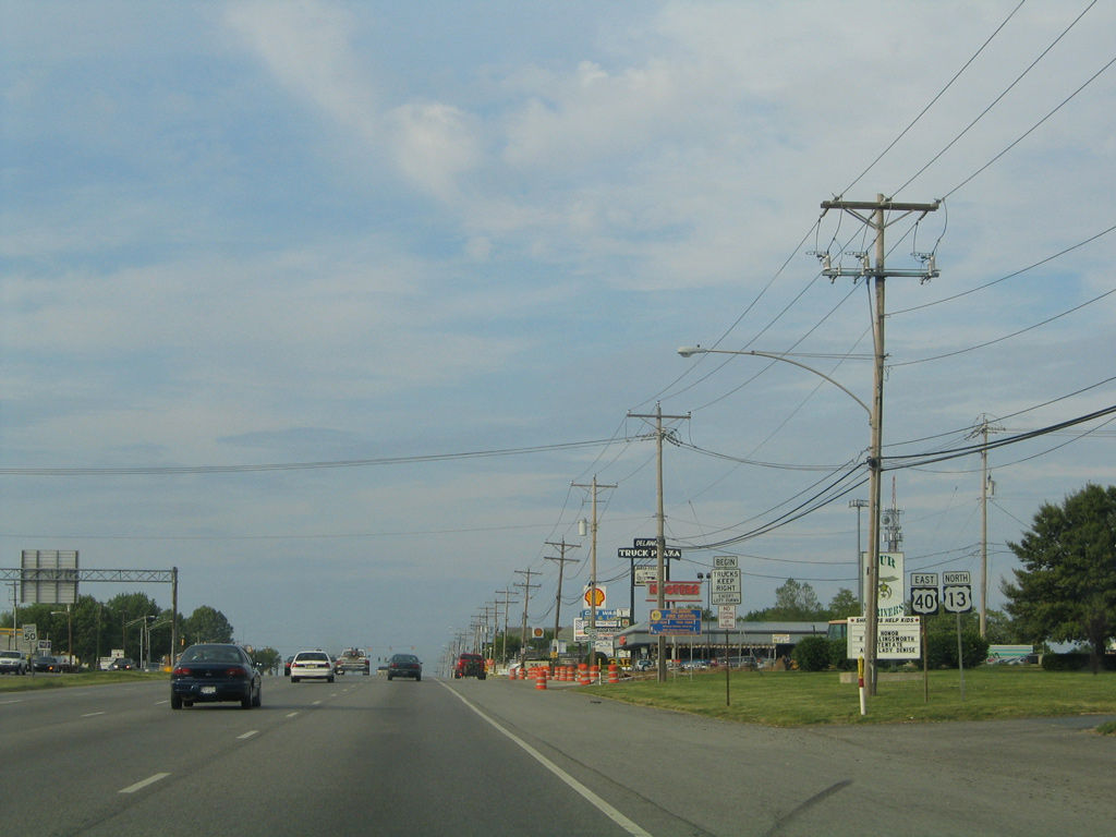
Advancing north from Tybouts Corner, motorists along U.S. 13 (Dupont Parkway) saw this mileage sign posted ten miles south of Wilmington. It was removed sometime after 2008. 05/15/05

U.S. 13 (Dupont Parkway) north at Llangollen Boulevard. 05/15/05

What was the first set of U.S. 13/40 markers posted at State Road. Delawareans generally refer to Dupont Highway as simply "13" and omit U.S. 40. April 2000
U.S. 13/40 shield assembly posted at the first signalized J turn. Both signs were taken down by 2008. 05/15/05
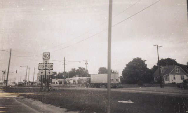
Until 1993, U.S. 301 ran along side U.S. 13 north from Boyds Corner to Farnhurst. This incorporated a three-way overlap with U.S. 40 between State Road and I-295. The location of this shield assembly appears to be either at State Road, or to the north at Hares Corner. 1969
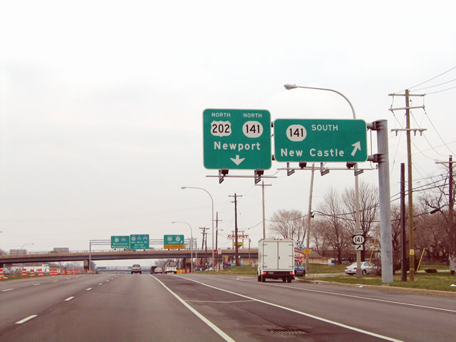
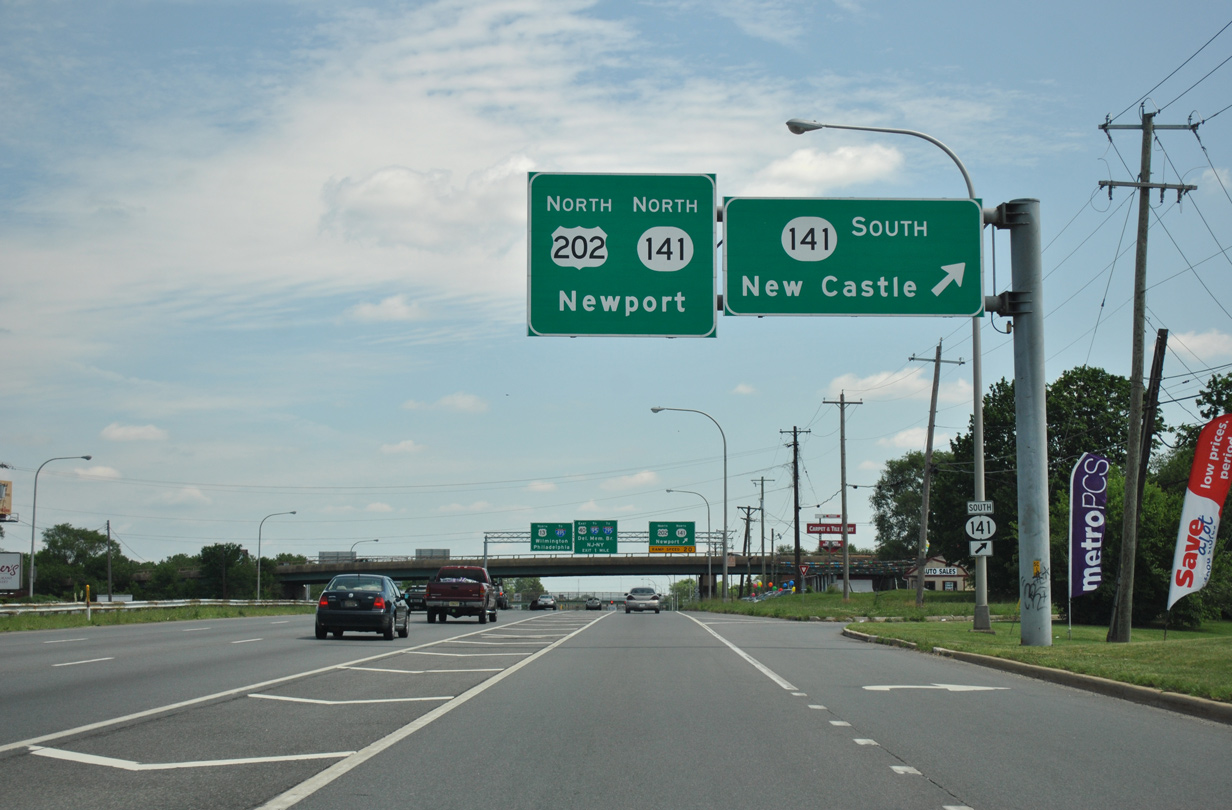
A portion of the 2000 overlay made on the initial guide sign for U.S. 202 and SR 141 (Basin Road) fell off by 2004. A new overhead replaced the assembly by 2006. 12/18/04
This U.S. 13 shield was formerly posted north of the signalized intersection with School Lane, the New Castle County Airport and Pencader Shopping Center. 12/18/04
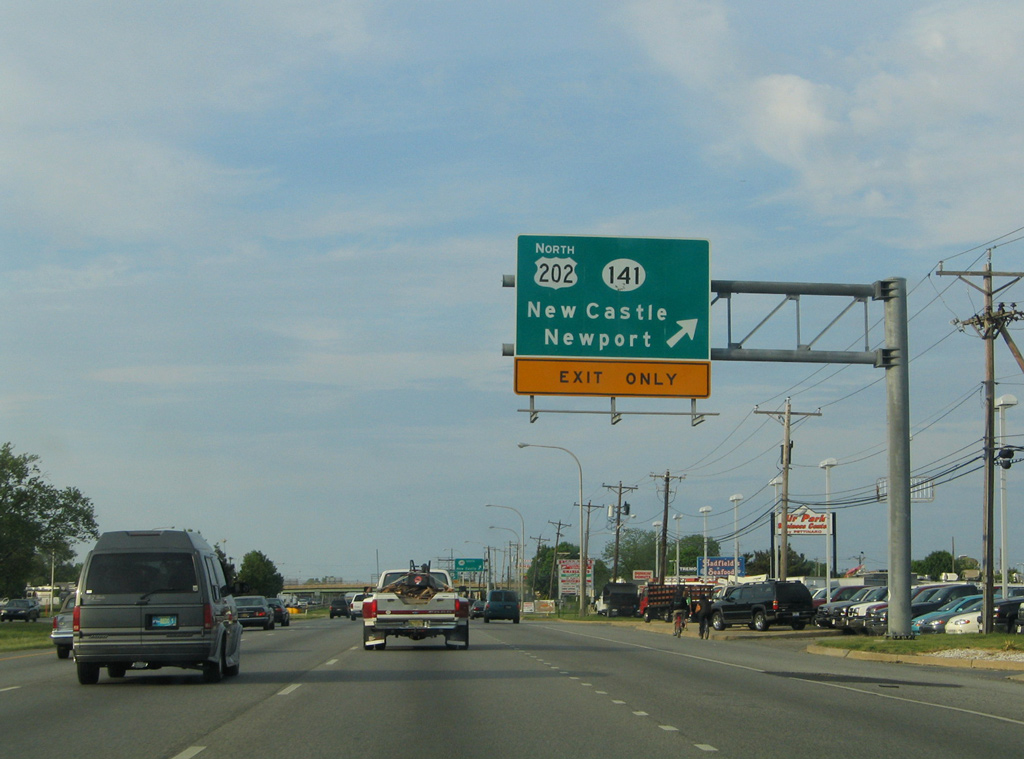
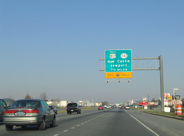
U.S. 13/40 at the c/d roadway for the northbound beginning of U.S. 202 and SR 141 (Basin Road). This overhead was carbon copied by 2006. 05/15/05
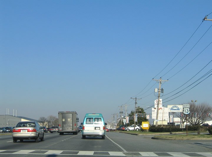
Taking the c/d roadway to SR 141 south on Dupont Highway north. Sign replacements made here in 2005 omitted a down arrow for the U.S. 202 /SR 141 north overhead. 03/27/04
A ground level sign replaced the overheads at the southbound off-ramp for SR 141 (Basin Road) by 2016. 06/02/12

Passing under U.S. 202 and SR 141, U.S. 13/40 (Dupont Highway) reached the loop ramp for Basin Road north. Dupont Highway continued one mile north to the Farnhurst Interchange. 03/27/04
Photos by AARoads, Jim Teresco (December 2001), Michael Summa (1969, 1973)
Page Updated Friday January 24, 2025.