
U.S. 90 Louisiana - West

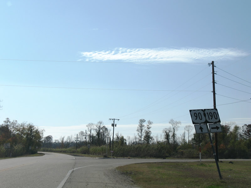
An Interstate 10 trailblazer was added in both directions of U.S. 90 at U.S. 190 by 2009. 12/10/07
U.S. 90 westbound at the former wye intersection with Louisiana 433. LA 433 was realigned to meet U.S. 90 at a conventional intersection in conjunction with the new Rigolets bridge. 06/26/01
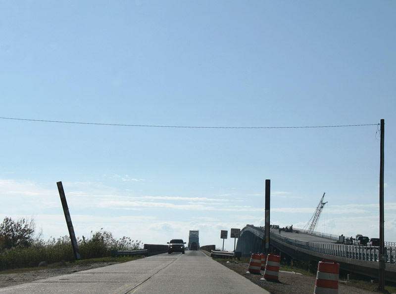
Construction visible at the time of this photograph shifted U.S. 90 onto a temporary alignment to match the old Fort Pike Bridge. Paralleling to the north is the new fixed high-level bridge for U.S. 90. 12/10/07
U.S. 90 west at Louisiana 433 (Old Spanish Trail), which provides the last route to Slidell by way of Treasure Island and the Lakeshore community. 12/10/07
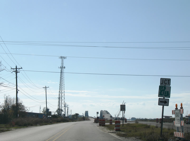
U.S. 90 west at Louisiana 433 (Old Spanish Trail), which provides the last route to Slidell by way of Treasure Island and the Lakeshore community. 12/10/07

The Fort Pike Bridge opened to traffic in 1930 as a steel truss bridge carrying U.S. 90 across the Rigolets. it was replaced by a new fixed high rise bridge in January 2008. 06/26/01
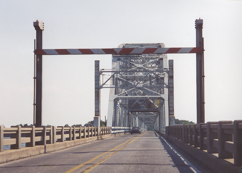
Note the narrowness of the lanes and antiquated guard rail. Passing was not allowed and speed limits were posted only at 25 MPH. This bridge was visible in the distance from the Interstate 10 Twin Spans over Lake Pontchartrain, several miles to the west. 06/26/01

Note the narrowness of the lanes and antiquated guard rail. Passing was not allowed and speed limits were posted only at 25 MPH. This bridge was visible in the distance from the Interstate 10 Twin Spans over Lake Pontchartrain, several miles to the west. 12/10/07
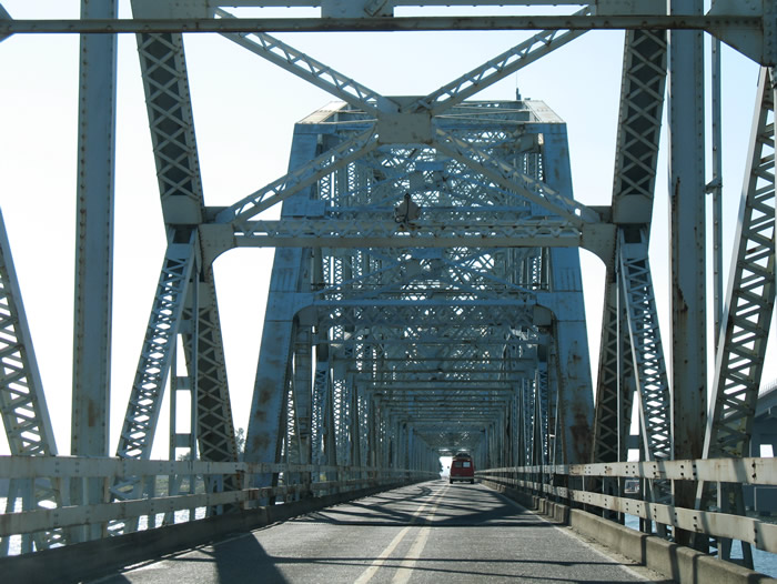
Note the narrowness of the lanes and antiquated guard rail. Passing was not allowed and speed limits were posted only at 25 MPH. This bridge was visible in the distance from the Interstate 10 Twin Spans over Lake Pontchartrain, several miles to the west. 12/10/07
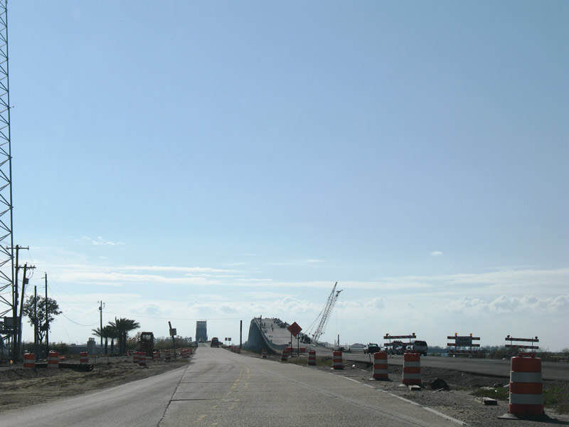
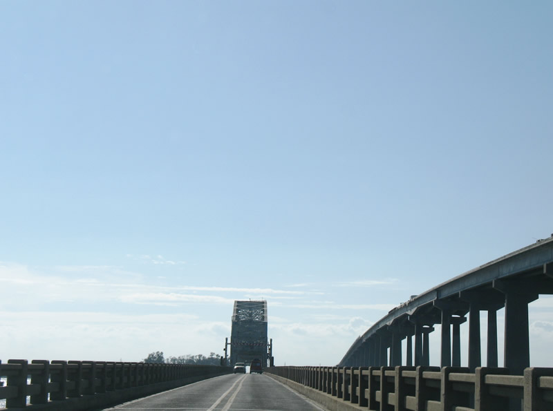
The new Rigolets Bridge takes shape as motorists continued to cross the old Fort Pike Bridge into Orleans Parish. 12/10/07
The new Rigolets Bridge takes shape as motorists continued to cross the old Fort Pike Bridge into Orleans Parish. 12/10/07
The Fort Pike Bridge derived its name from nearby Fort Pike, a historic site along the peninsula between Lake Pontchartrain, The Rigolets and Sawmill Pass. Crews demolished this span once the new bridge opened to traffic. Concrete from the span was used as a breakwater to protect the nearby fort. 12/10/07

The Fort Pike Bridge derived its name from nearby Fort Pike, a historic site along the peninsula between Lake Pontchartrain, The Rigolets and Sawmill Pass. Crews demolished this span once the new bridge opened to traffic. Concrete from the span was used as a breakwater to protect the nearby fort. 12/10/07
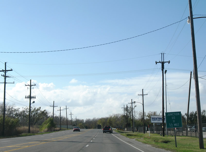
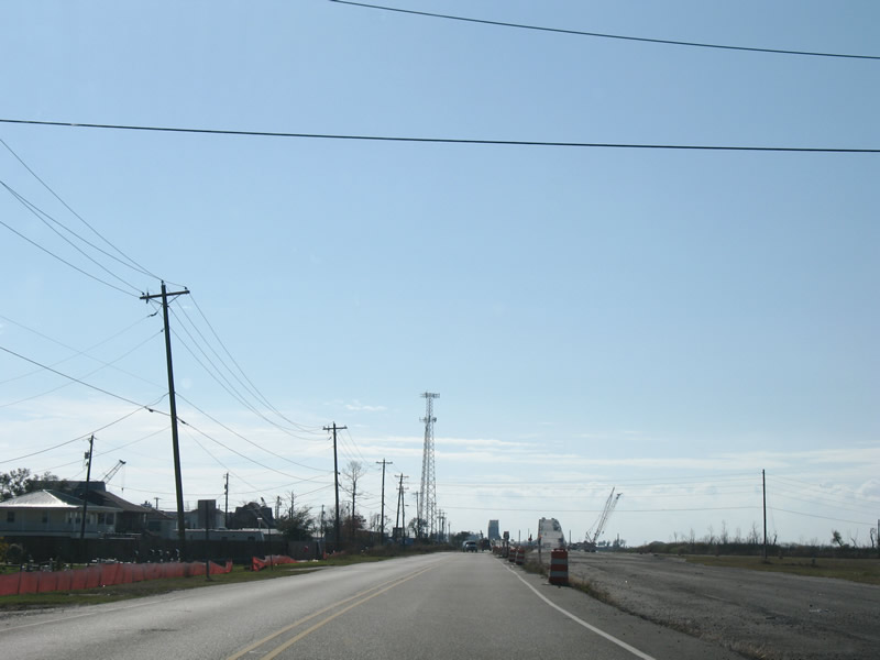
An unusual all-text junction sign, since removed, was posted one half mile east of the U.S. 90 (Chef Menteur Highway) intersection with U.S. 11 at Powers Junction. The scene here changed somewhat with the construction of a new levee gate across U.S. 90. 12/10/07
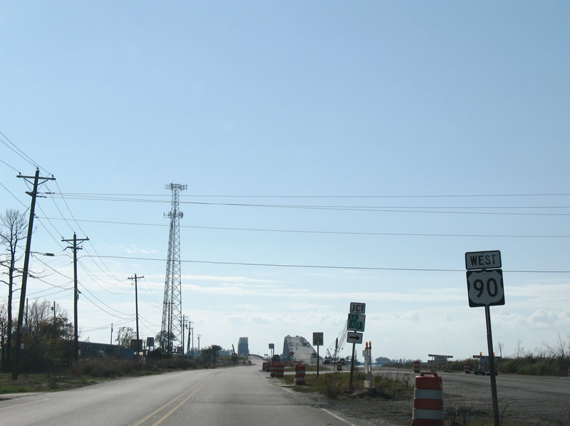
Approaching U.S. 11 and Powers Junction on U.S. 90 west. An I-10 trailblazer was added here by 2011. 12/10/07

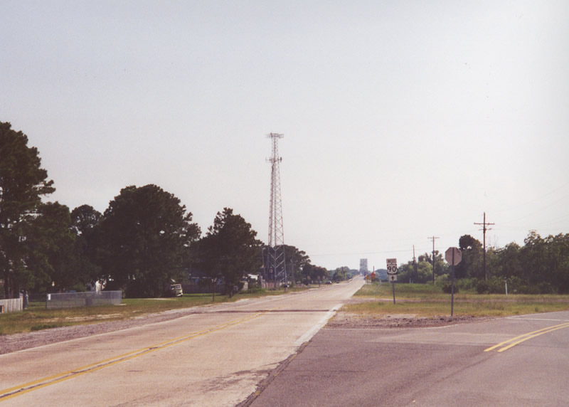
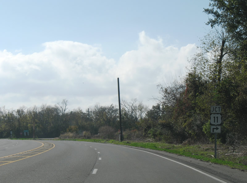
Prior sign assemblies posted at the south end of U.S. 11 on U.S. 90 west. The 2007-array was replaced by 2011. 11/06/99
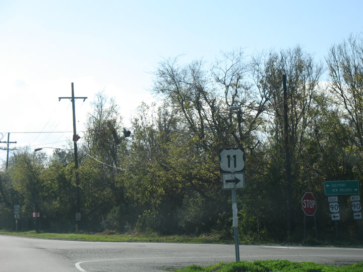
Prior sign assemblies posted at the south end of U.S. 11 on U.S. 90 west. The 2007-array was replaced by 2011. 12/10/07
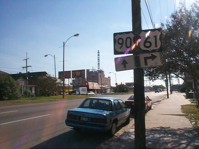
U.S. 61 and 90 shield assembly that was posted just west of Banks Street for the intersection of Broad and Tulane Avenues. The U.S. 61 northbound shield assembly was later relocated to the neutral ground of Broad Avenue ahead of Tulane Avenue. 11/06/99
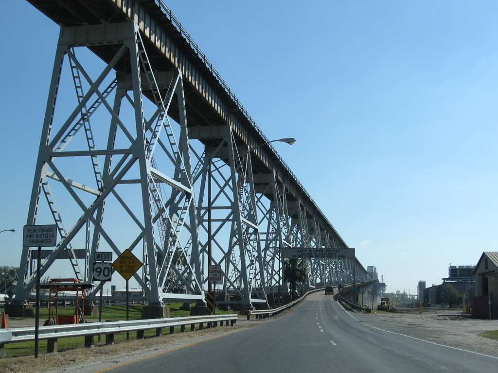
A $1.2-billion project undertaken between 2006 and 2013 dramatically expanded the Huey P. Long Bridge to six overall lanes. 11/20/08
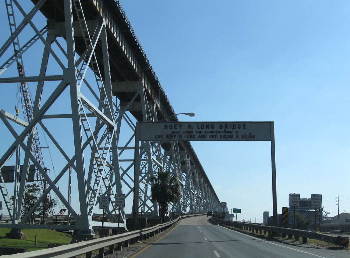
A 1935 overhead proclaimed the bridge in Governor Huey P. Long's name. The sign featured letters with cat-eye reflectors. 11/20/08
Photos by AARoads
Page Updated Friday January 24, 2025.