
day 7 of the Alaska highway trip, where we finally cross the Rockies, and are promptly greeted with even more snow than before.

Dawn. The roads have been plowed. We head east on the Yellowhead Highway into Alberta.

This could be a problem. Since 93 through Jasper National Park in Alberta is a park route, it is closed to commercial traffic, and therefore not plowed particularly frequently.

Invisible trees at Shuswap Lake, about halfway through British Columbia on Trans-Canada 1.

Trans-Canada 1 in infrared, just west of Salmon Arm.
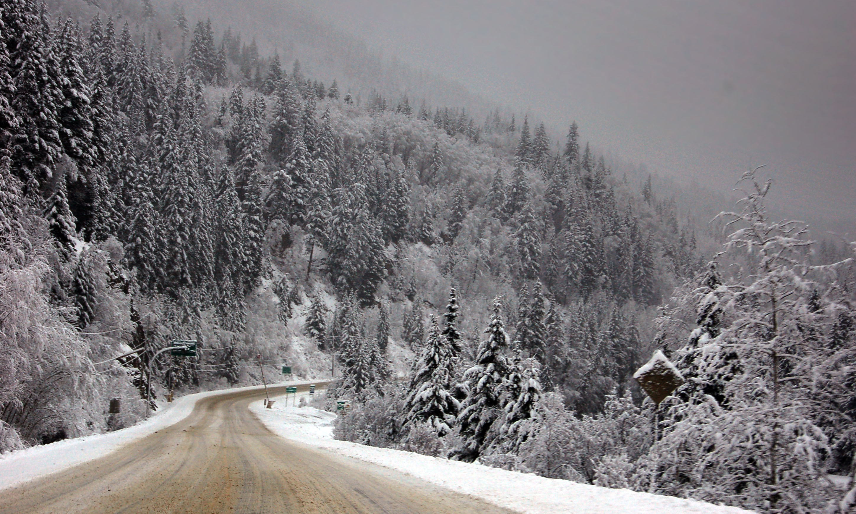
Here, the road has been sanded down for our convenience.

Behold the snowgoat. [Dan photo.]

The snow clouds descend. [Dan photo.]

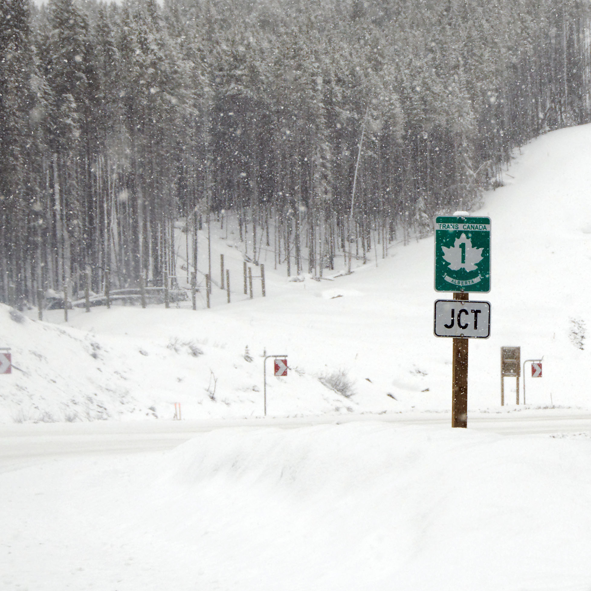
New province!

Here is where we turn off the Yellowhead to head down the Glacier Parkway – route 93. This route is numbered 93 all the way down to Arizona, as it is the northern continuation of US-93. [Dan photo.]
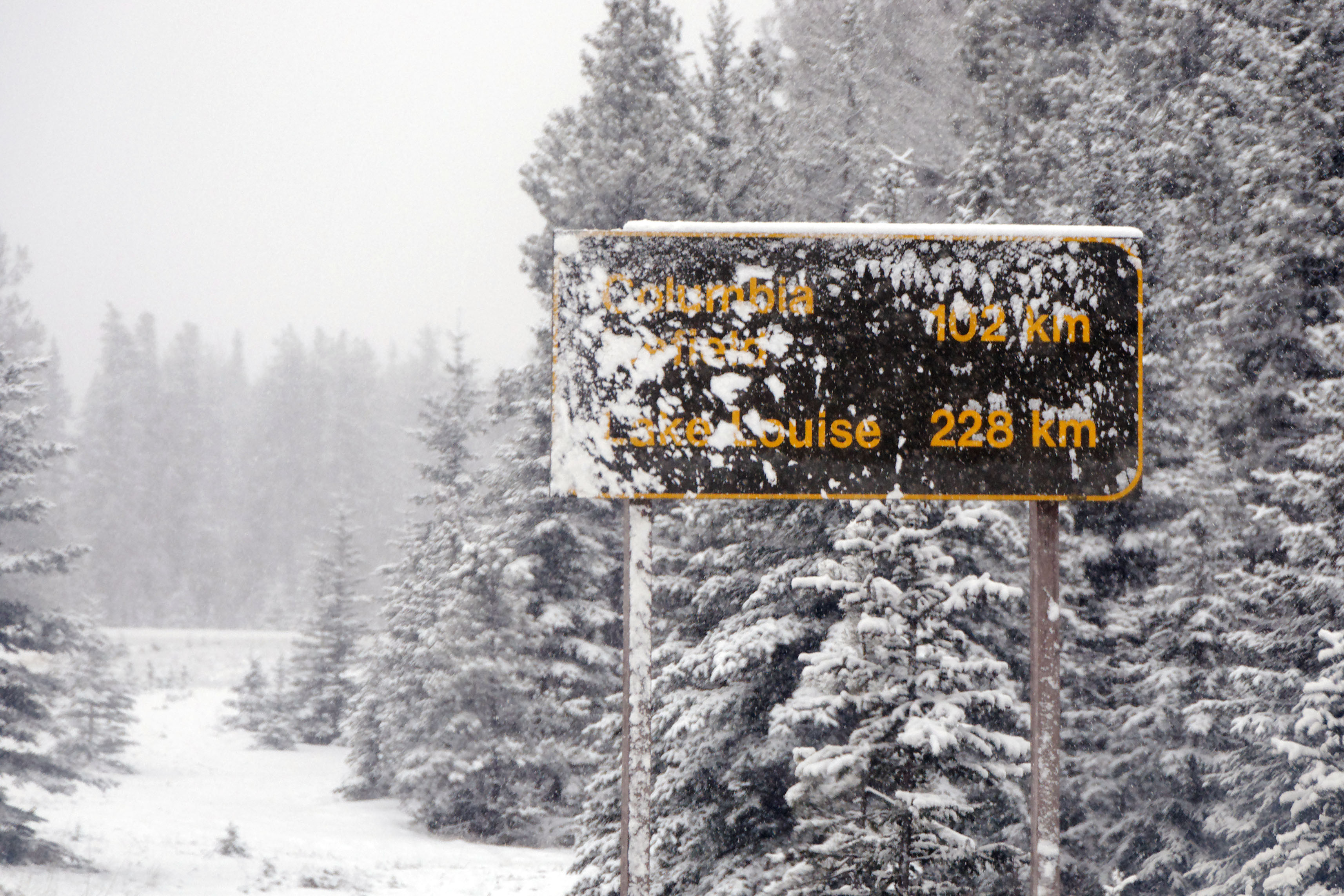
This will be the most challenging 228 kilometers we face on this entire trip. [Dan photo.]

Forbidden mountain. The blue is glacial ice.

Close-up of glacial ice.

It only gets whiter and whiter. [Dan photo.]

Even in infrared, we are quite free of contrast.

This photo has had the contrast jacked up about 400%. No such photoshop tool was available to us in real life. These are all Dan pictures. I went about two hours without taking a photo, as I was busy getting us killed as infrequently as possible.

Finally! After about 40 kilometers of eight-inch-deep snow. And that’s just in the ruts – down the center it was 12 inches! [Dan photo.]
Made it! Whoever had “we failed to die” in the pool wins a prize. [Dan photo.]

The town of Lake Louise, with services for the foolish traveler. The actual lake is as seen behind the bear on the welcome sign – but for us, it is so overcast that we don’t get anything resembling that view. [Dan photo.]

This is what a cattle guard is called in British Columbia. [Dan photo.]

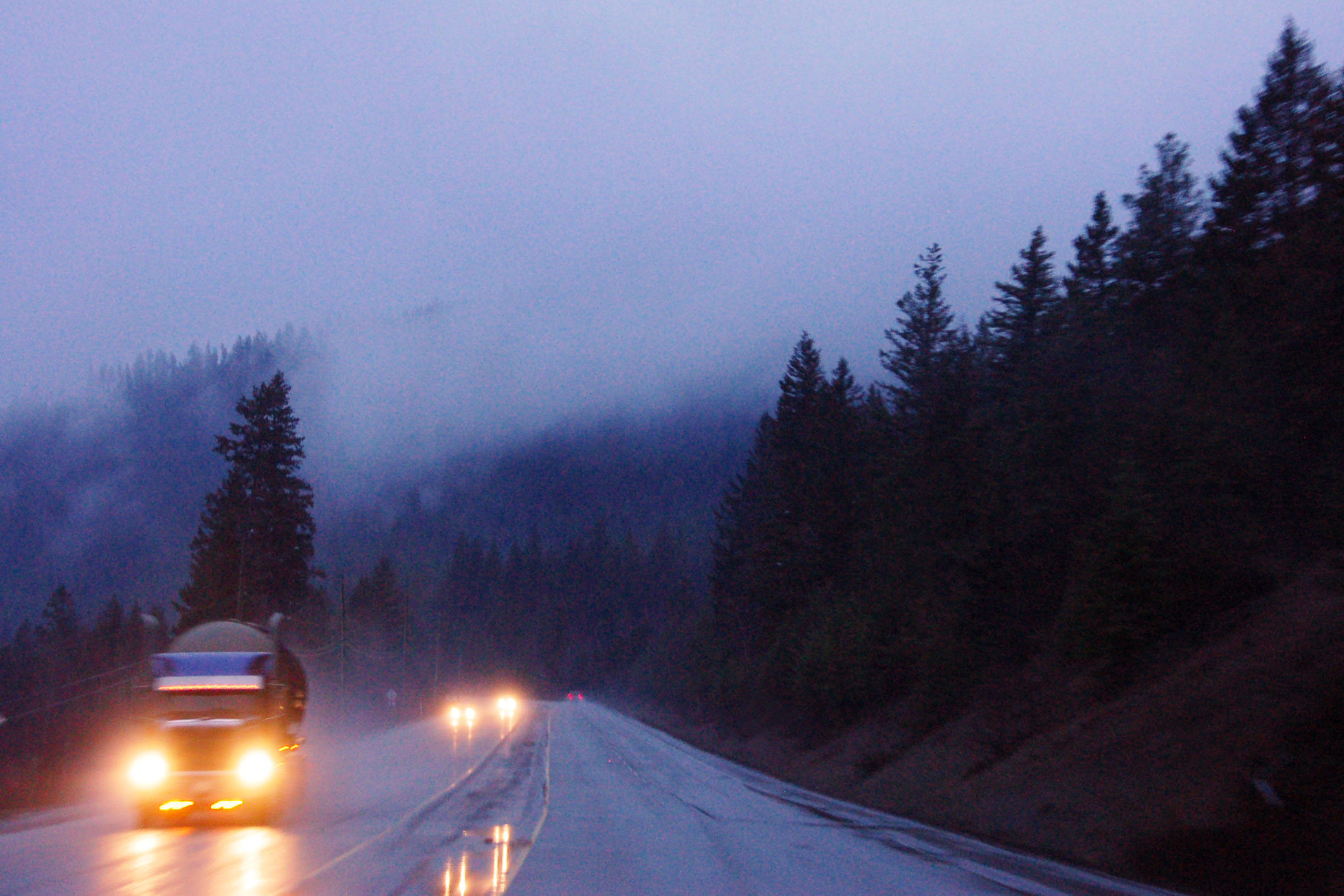
This is, mercifully, our last Rockies crossing on the trip. Why is the picture so blurry? Because the truck ahead of us is throwing up quite the wake. Yep, Trans-Canada 1 is a major commercial route. [Dan photo.]

Look at that, I’m taking pictures again. What a view!

Now that is how to cut through a rock and build a highway.

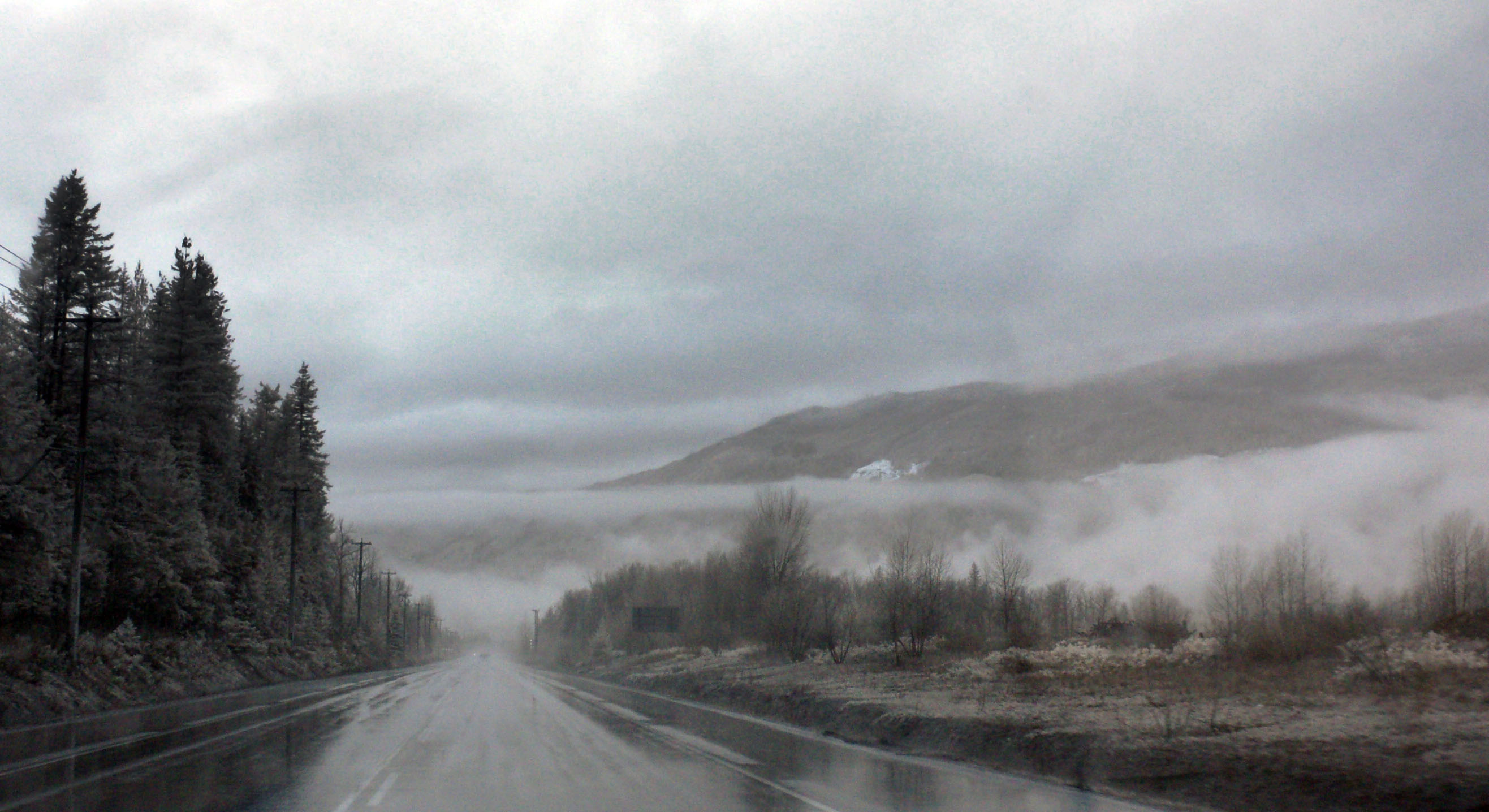
Heading west. There is no letup to the precipitation.

A single weigh station services traffic in both directions.

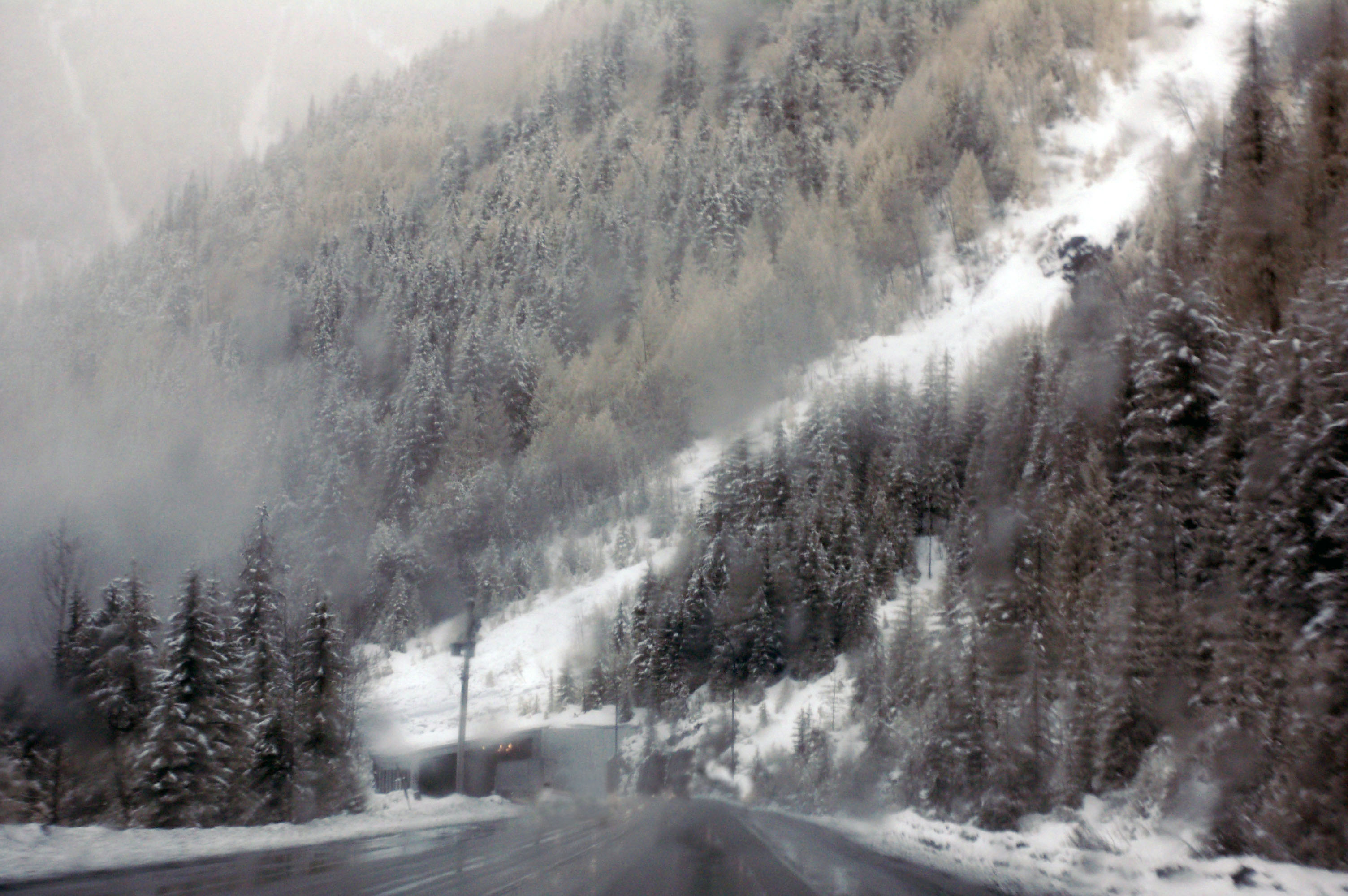
There are several snow tunnels in a row on highway 1.

Through the tunnel we go.

Outside the tunnel, it’s snowing of course.
Nope, fog is not transparent in infrared.

Absolutely terrible photo of men by the side of the road with guns. Okay, a gun. An avalanche gun, to be specific. We came around the bend and there they were, so Dan shot this photo out the driver’s side back window.

We come down from the mountains, and the snow stops. Well, it turns to rain. This is the Pacific Northwest, after all!
Heading towards Kamloops.

Here’s a blue Trans-Canada 1 shield. [Dan photo.]

We are almost back at 97. This is a very old gantry, complete with Silver Scotchlite on steel signs; likely not much newer than the conversion to metric in the early 1970s. [Dan photo.]

The information sign at Shuswap Lake.

Picnic tables are painted to turn blue under infrared.
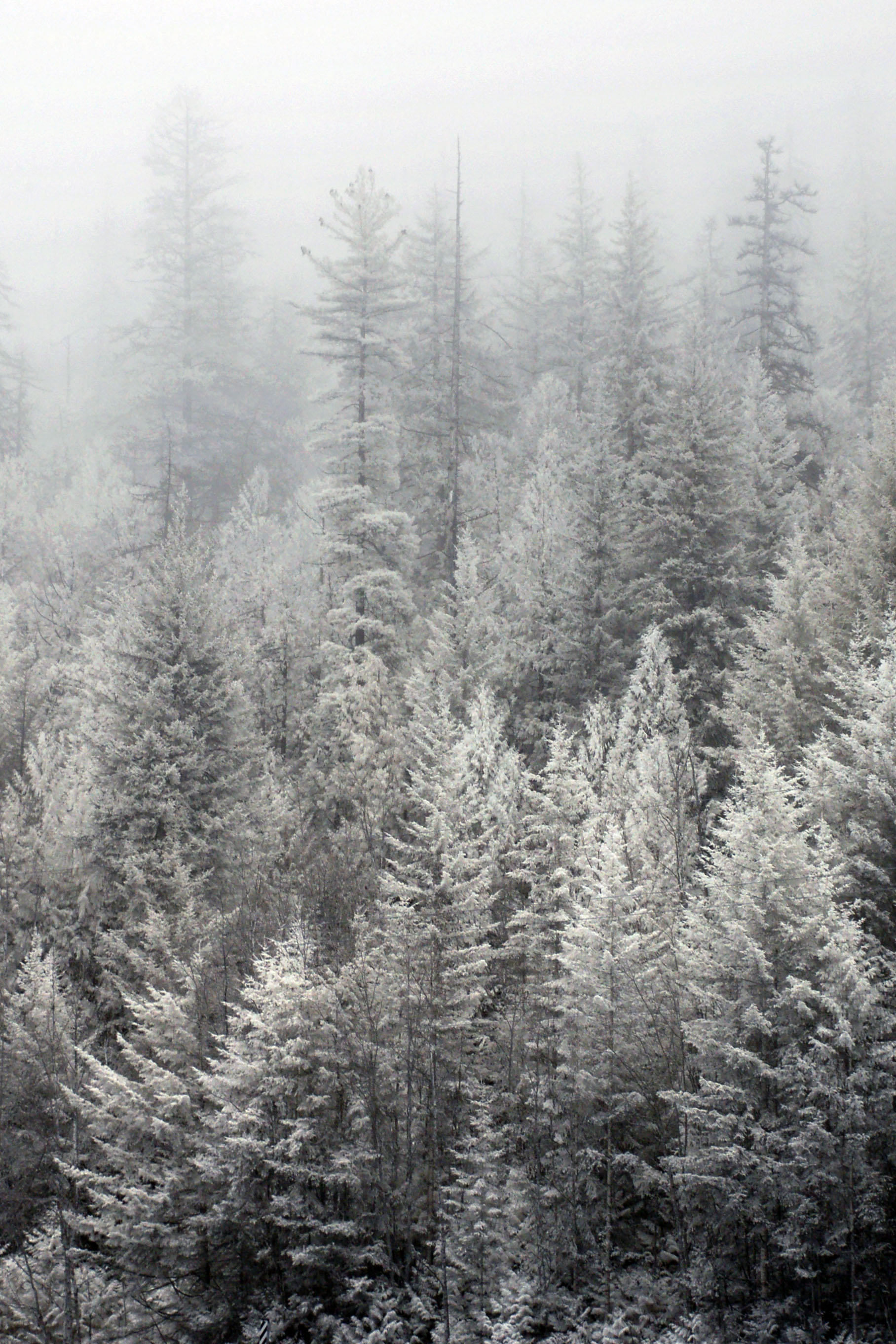
Dan’s infrared take on invisible trees.
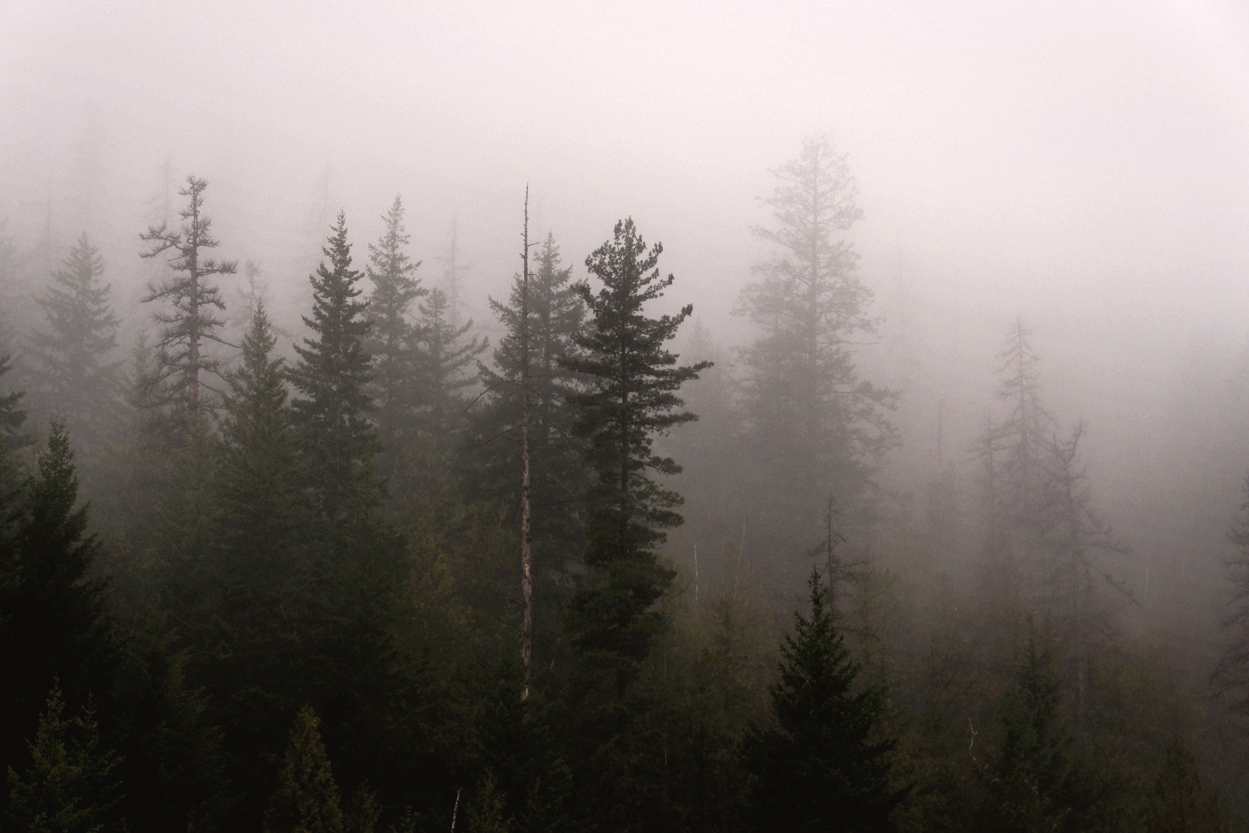
Invisible trees in visible light. [Dan photo.]
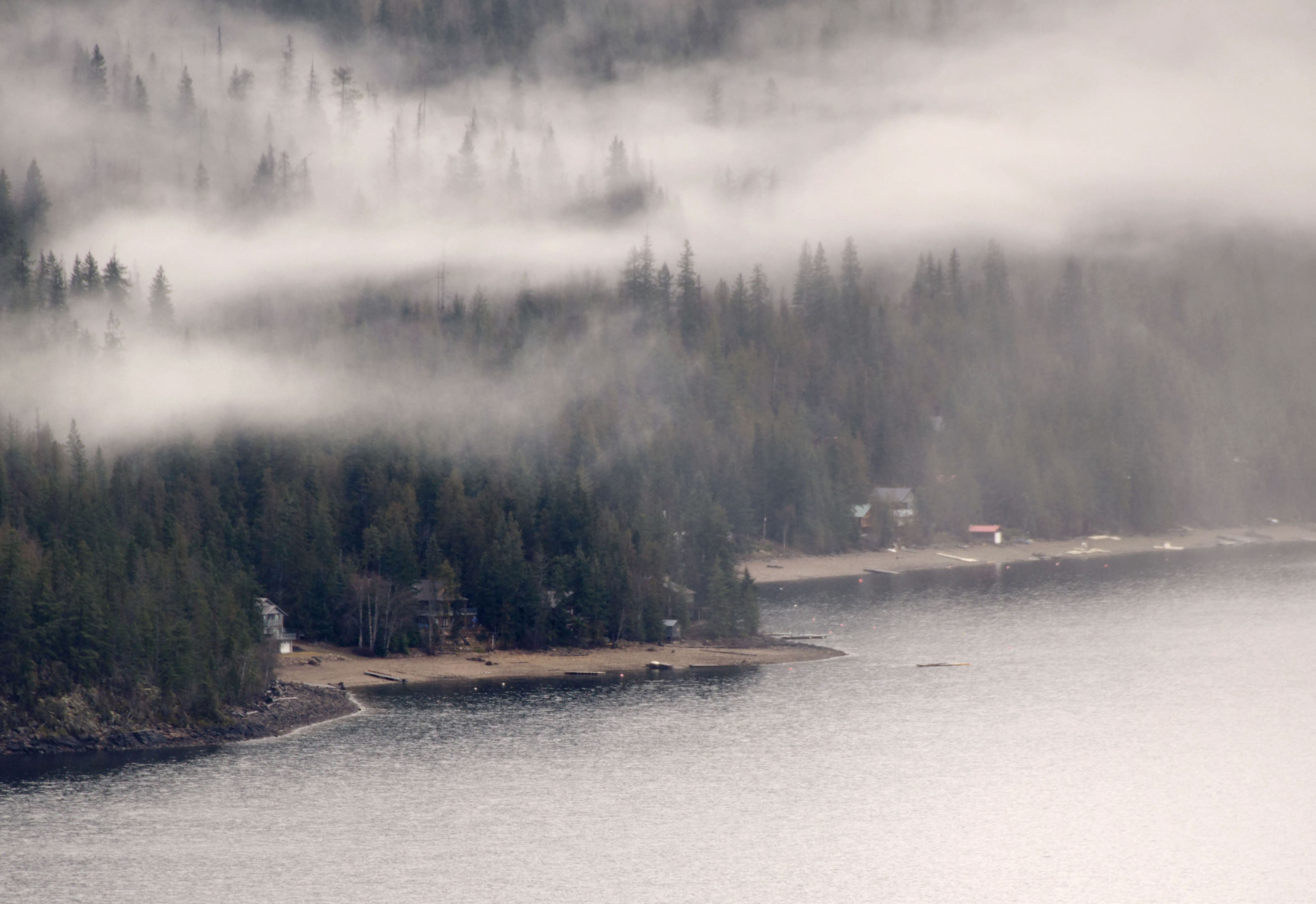
Fog over Shuswap Lake. [Dan photo.]

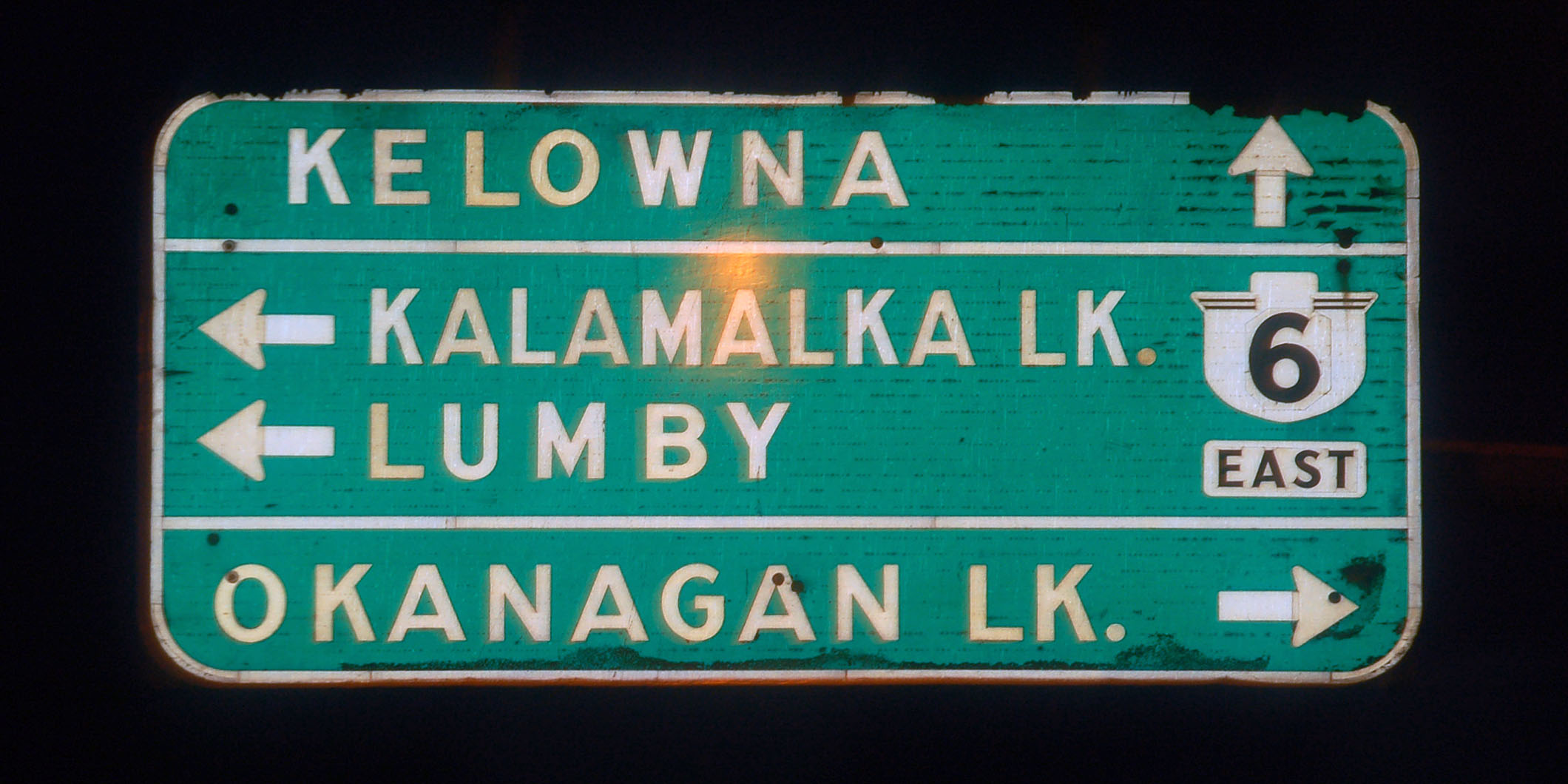
The narrow old British Columbia font (rarely seen on shields), which looks nothing like the wider variants.

And we’re back at the 97.

Old green signs in Kamloops. The pull-through sign omits highway 97. Perhaps at the time the sign was installed, it was routed elsewhere?

British Columbia has been using Arial for a while on their signs. This one is old enough to have been patched for Yellowhead 5 (as opposed to standard 5), and also for Trans-Canada 1 (I do not know what is under that patch).

A very informative gantry.

An early variant on the Yellowhead 5 shield. By the way, we’re heading back the other direction now – we took both directions of the Kamloops main freeway just so we could claim to have driven all of 97 … and to get photos of all the old signs!

These Yellowhead shields have been patched over.

And these have not! Apparently, they did not bother patching this tiny bike route sign on the shoulder. And we barely noticed it; this is the best photo we got.

This overhead sign is on the business route, not the freeway. It looks to be an exact replacement for a sign that was posted when this was Trans-Canada 1.
The very first style of Yellowhead 5 shield, with the classic fonts. [Dan photo.]

A terrible photo of an unpatched 5.

This sign was, at one point, green. [Dan photo.]
The closest thing we’ll find to a US-97 shield in British Columbia.
Heading towards Vernon and Kelowna as night falls.

Yep, it’s raining again.
One last guide sign. We stop in Kelowna for the night, in preparation for crossing back into the US the next day. Gotta look presentable for the border guards!
I want to know if i can use one of your picture (snow plow) for a calendar?
Thanks