
We continue on our Sonora trip, heading south into the mountains to the towns of Nazocari and Hermosillo.

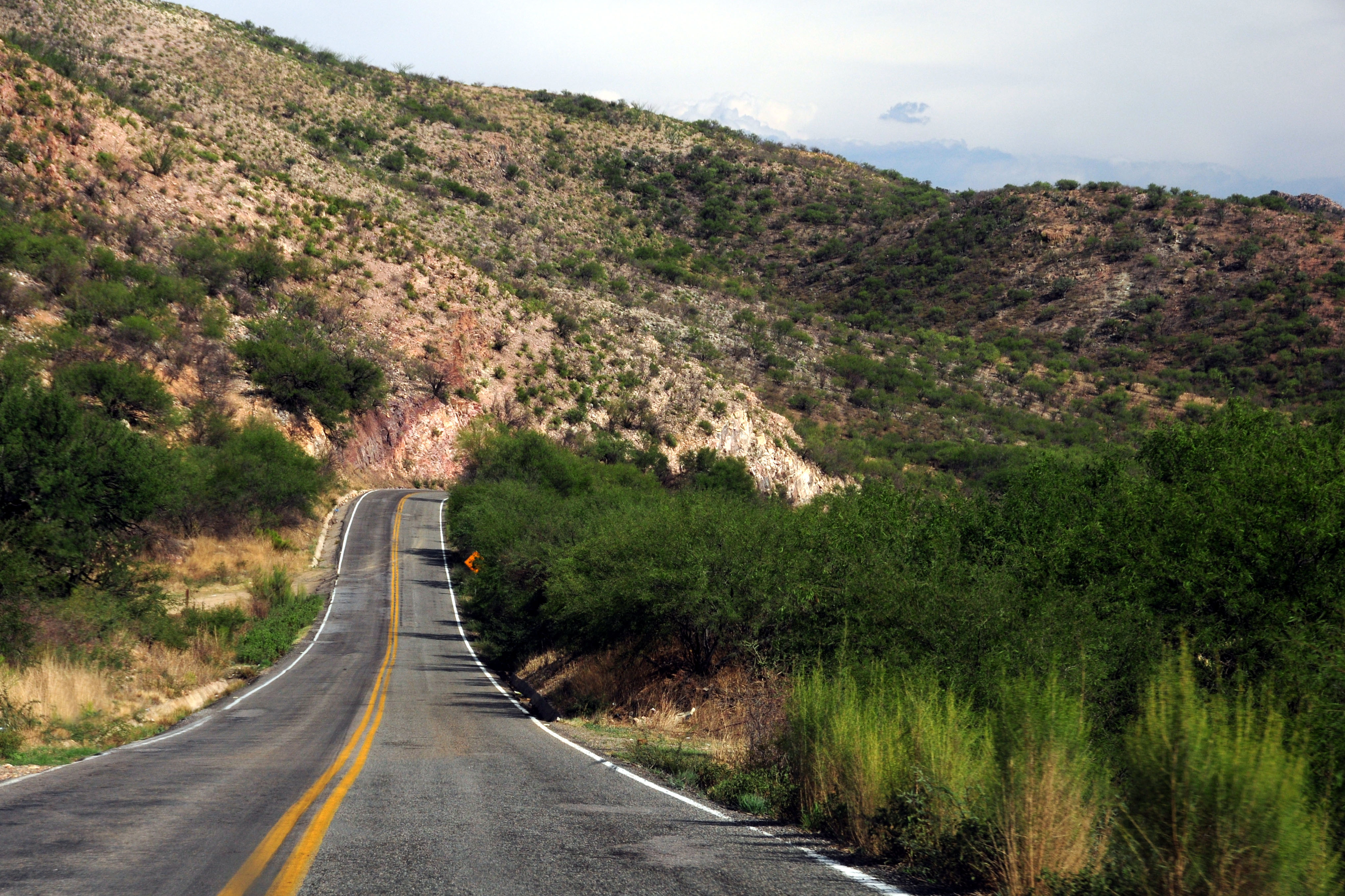
Highway 14 across the mountains in the evening.

What is going on in this photo? Read on to find out!
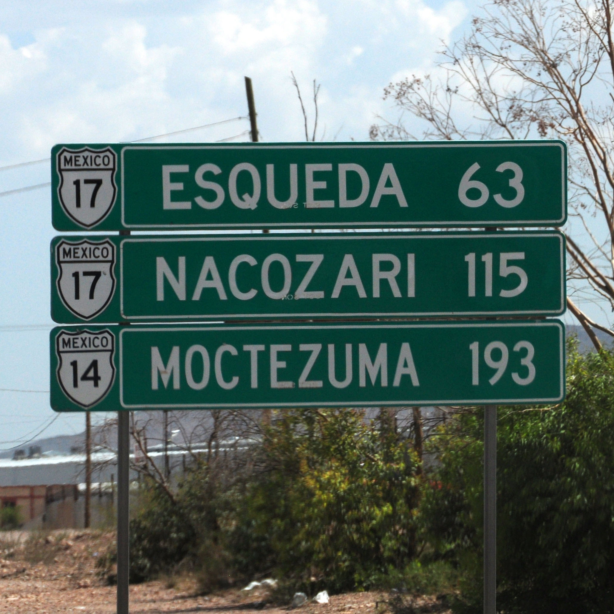
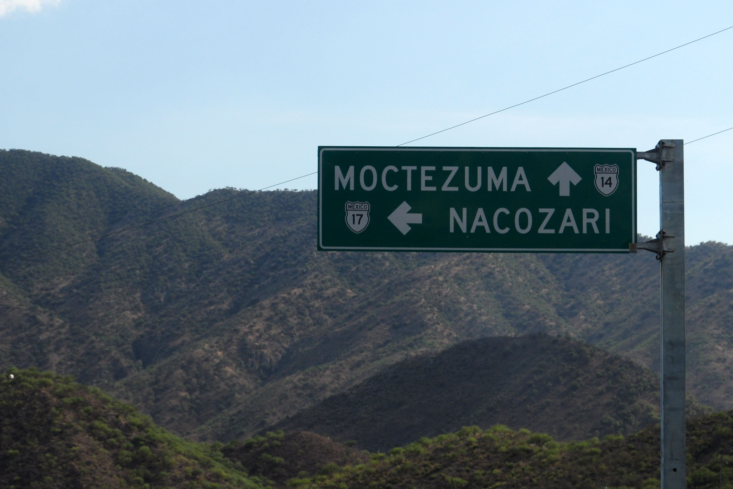
Our first distance sign. From what one can tell, highway 17 becomes highway 14 in Moctezuma and heads west to Hermosillo. Though, given Mexican sloppy signage practice, the two kinda meld into each other. Officially, 17 and 14 are supposed to cross and then both continue, but their continuation is only sporadically built. They are labeled as Sonora state highways 117 and 69 on one map, with 117 being the 17 continuation.

Just south of Agua Prieta, a Pemex is born.

one last warning that customs is coming up. here, we will get the car importation verified. cars without importation permits are advised to turn around, and proceed no further south.
Ominous storm clouds don’t actually get anywhere near us on this trip.
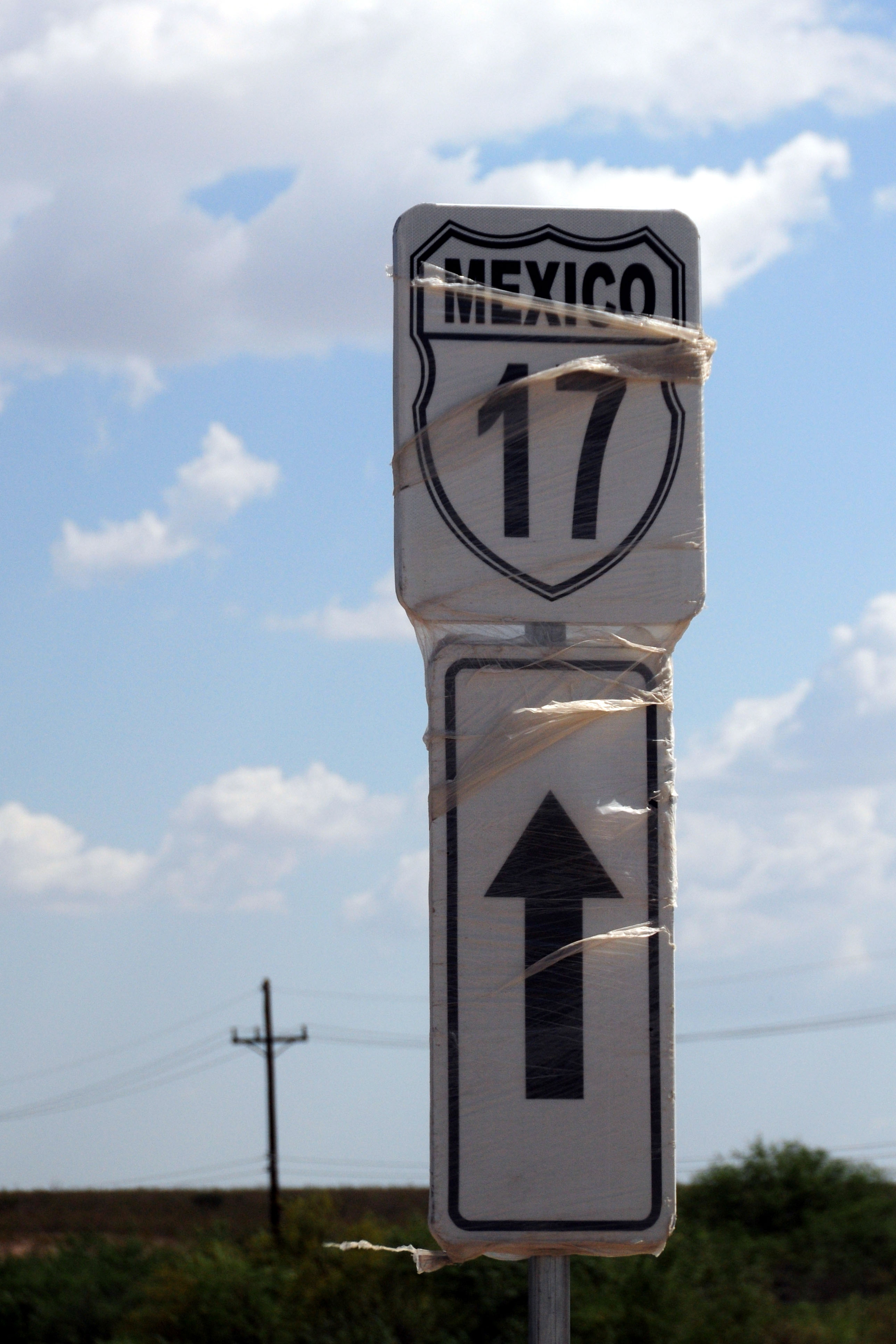
The only stand-alone shield I saw on this entire trip. They are very rare. This one is covered in plastic, possibly due to its being located near a construction project.

We head into the hills soon enough.
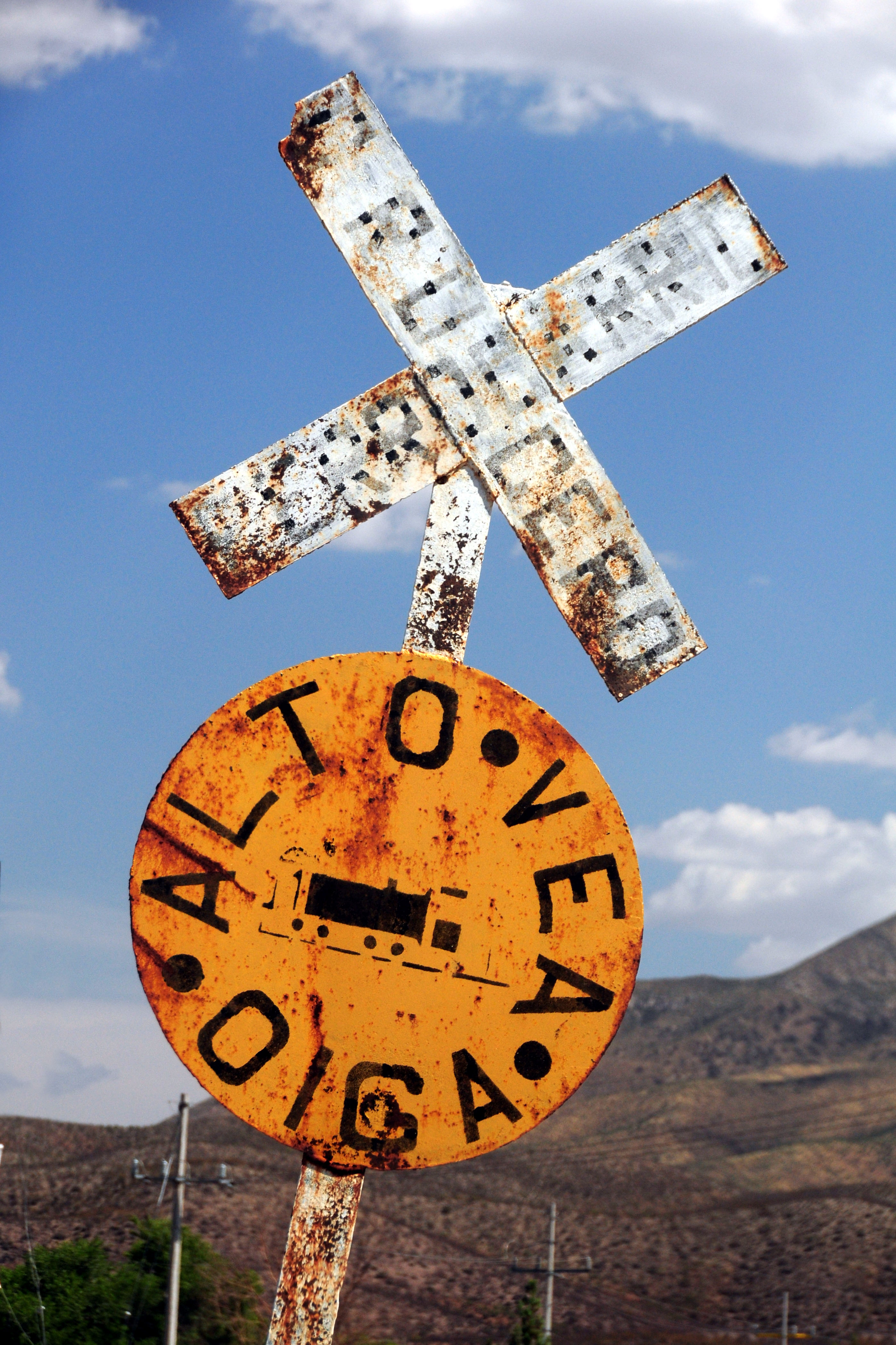
Highway 17 crosses a railroad several times. At each crossing, one most stop completely as there are no signals to warn of an approaching train.
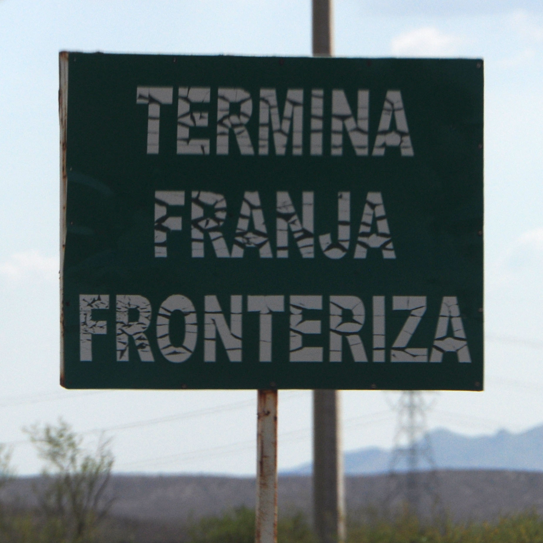
End of border region.
At railroad crossings, there is a speed bump both before and after the tracks. They build their topes twice as wide as they should, for no discernible reason.
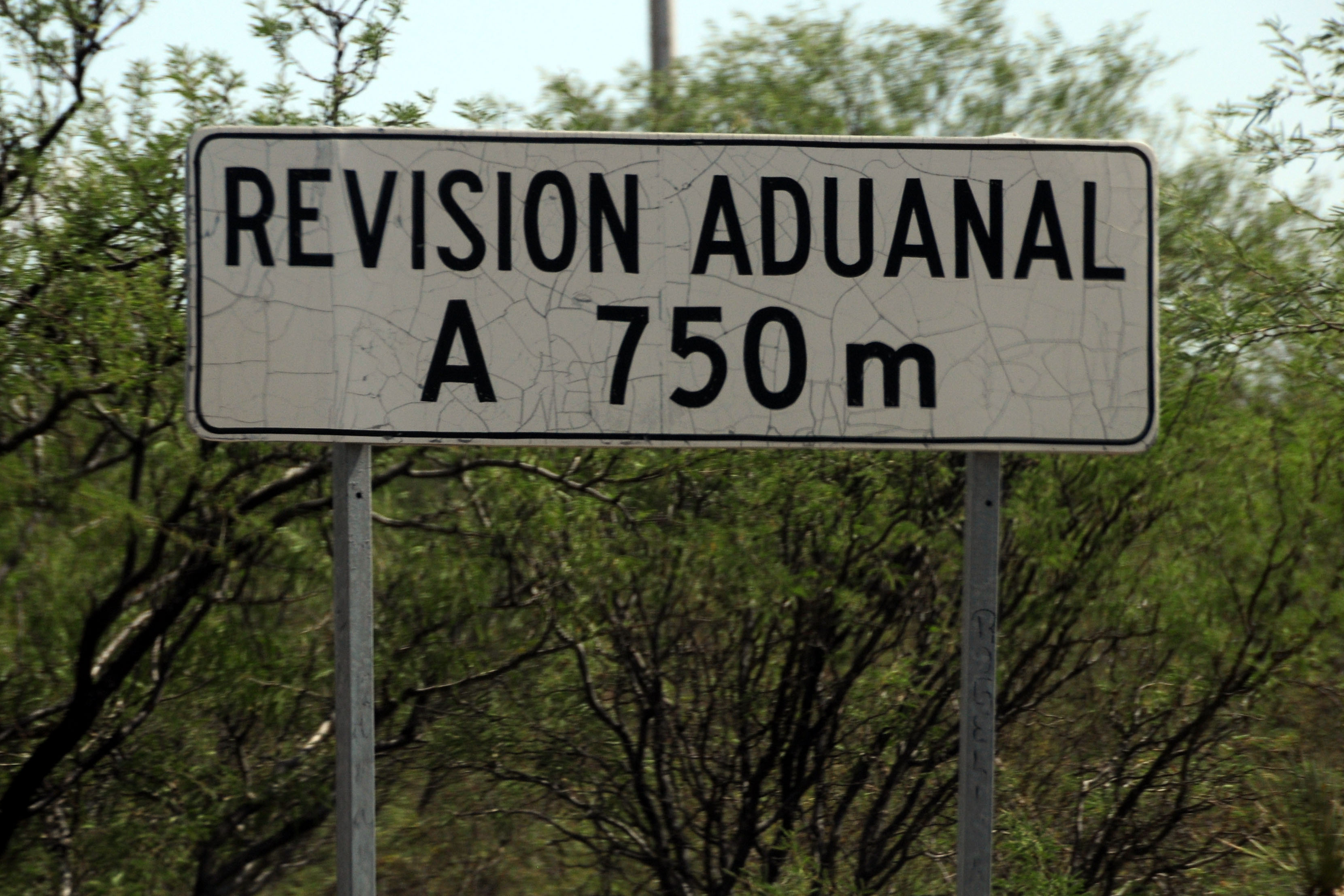
Customs inspection coming up. This is a good 4km between the “end frontier sign”, and at least 10km past the “no hassle zone” sign. no really, turn around if you don’t have the right papers!
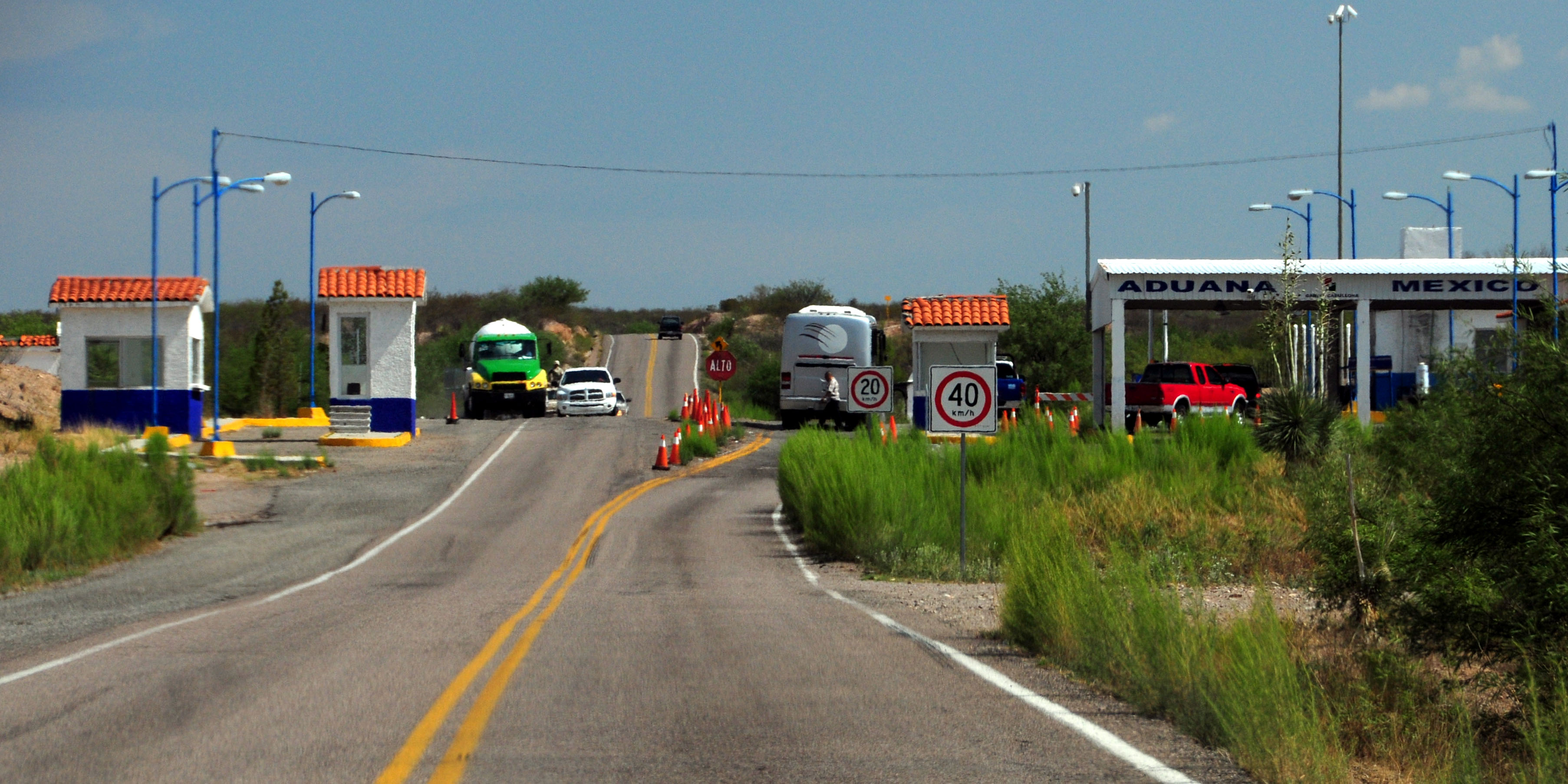
And the actual facilities. I am not sure what the northbound stations do – southbound, indeed, they went over my passport and vehicle importation papers. All set to go!

Sonora desert view. Highway 17.

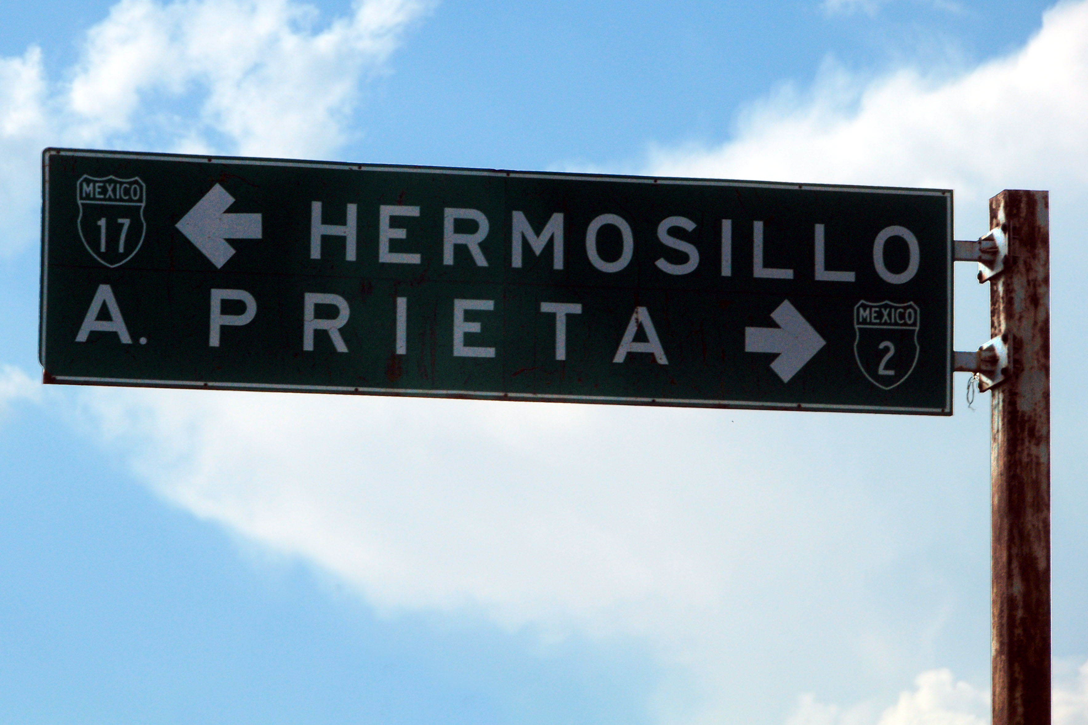
All of those towns are on a spur road, which is not actually 17.

On the old sign, the spur road is not given a number.
Approaching the gorge. 17 runs alongside a river for many miles.
And in we go.
The road to Nazocari is a loop. It may as well be considered Business 17.

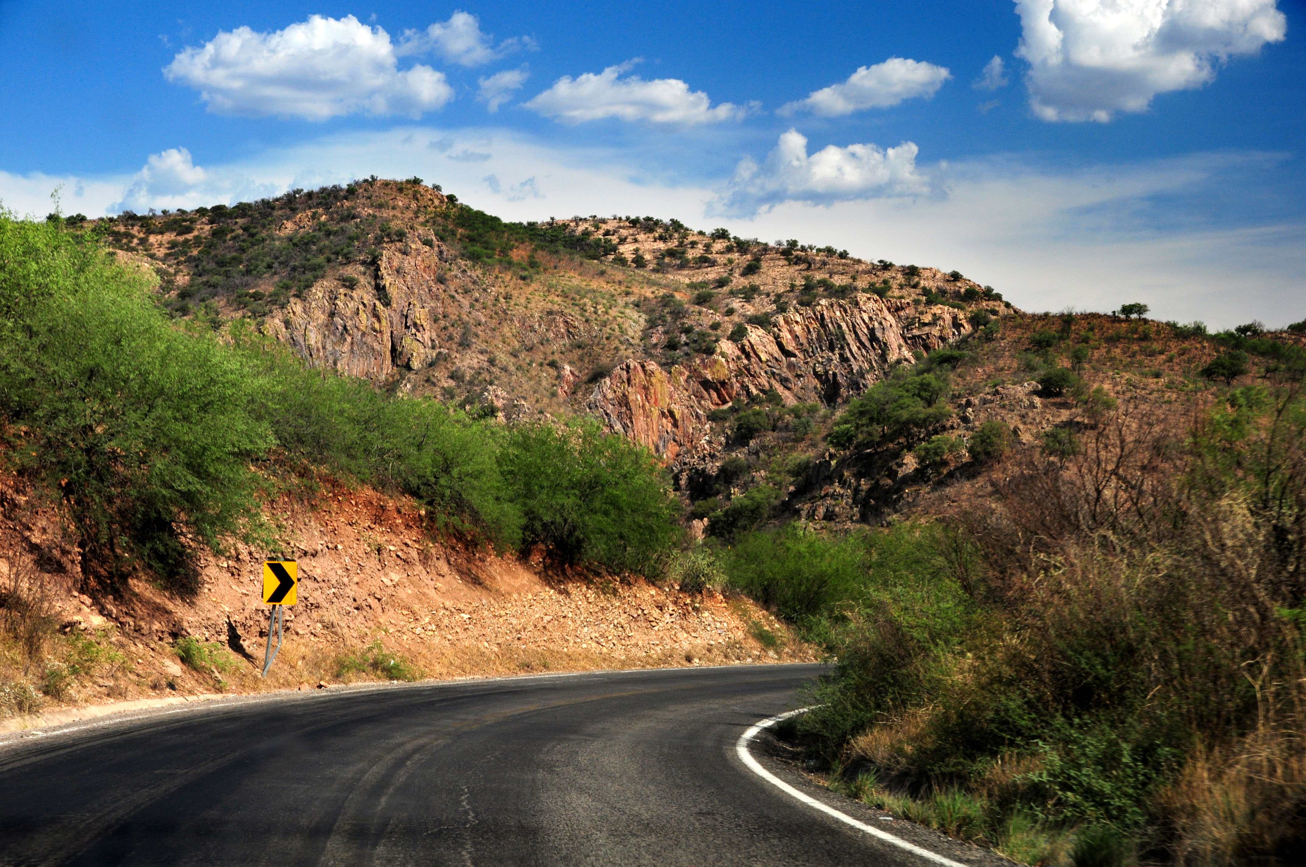
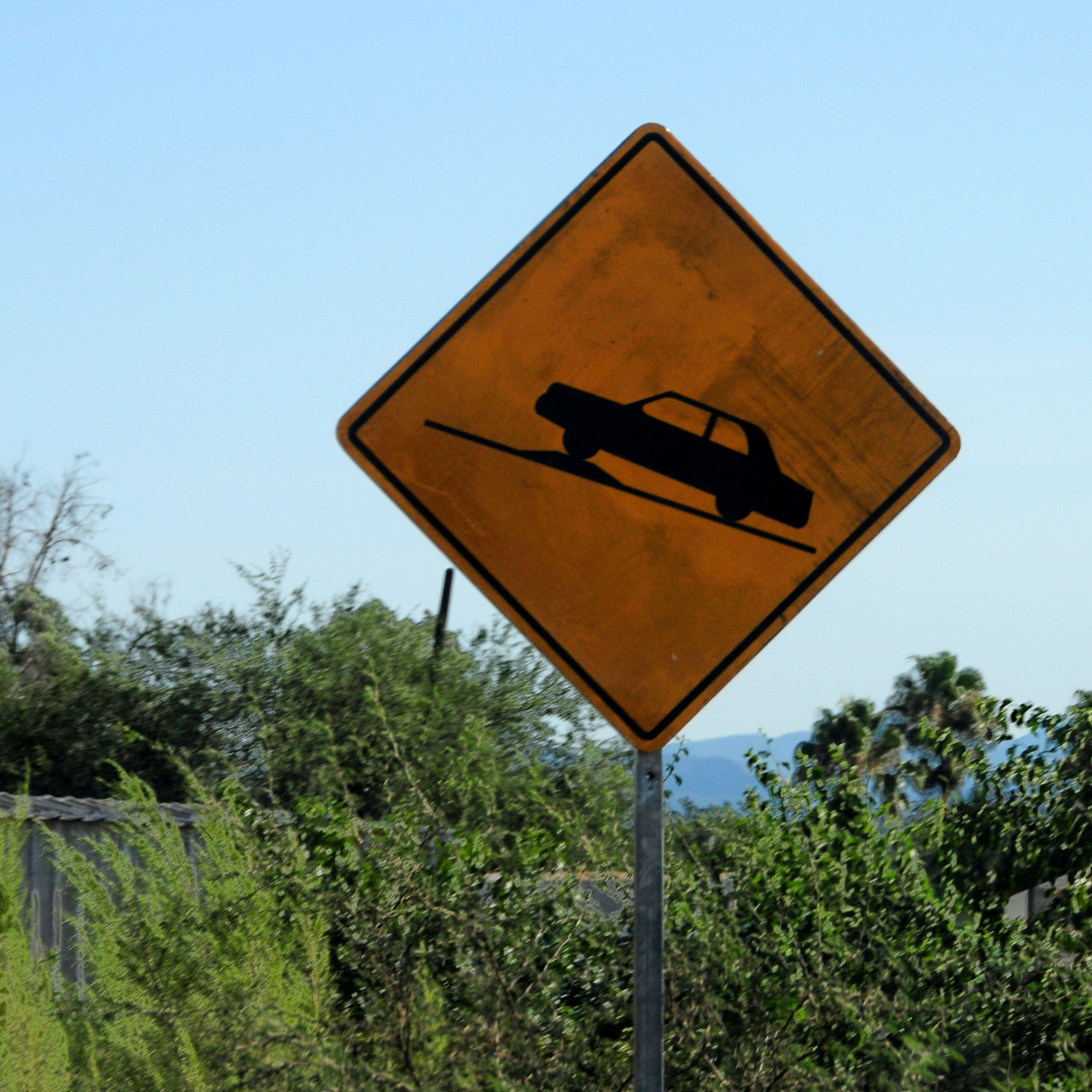
This is what happens when you need a triangle sign, but have only a diamond available.
Outline shields. An older standard.

The south end of the town loop.

Back along the river.

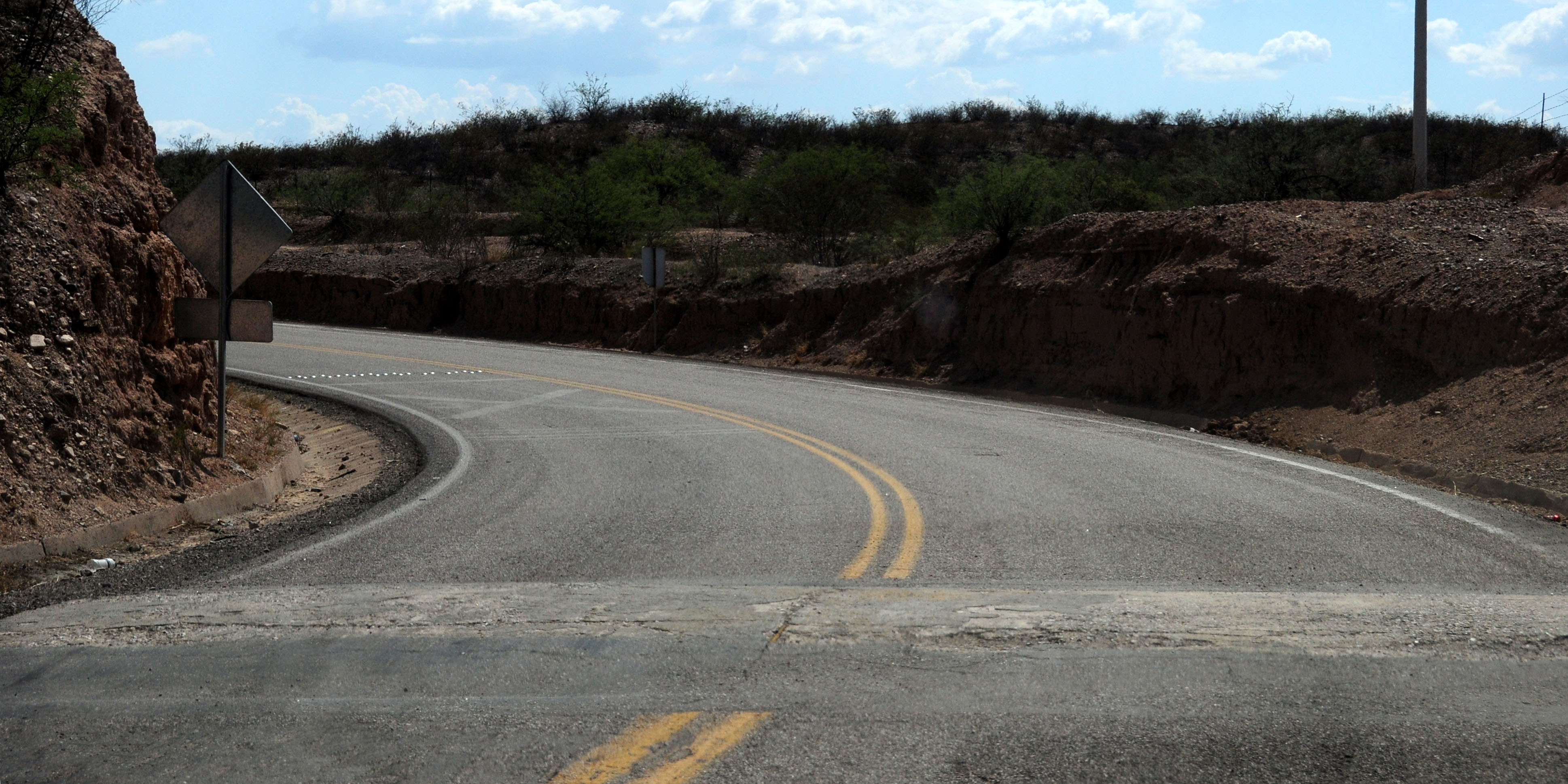
A winding road.

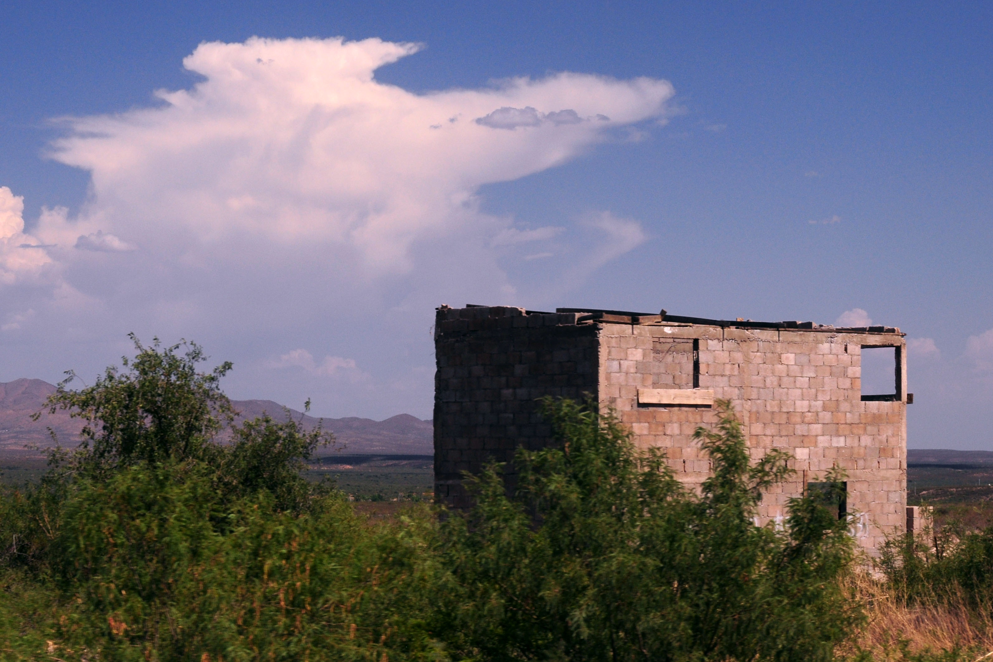
An abandoned house.
A speed bump on a hill.
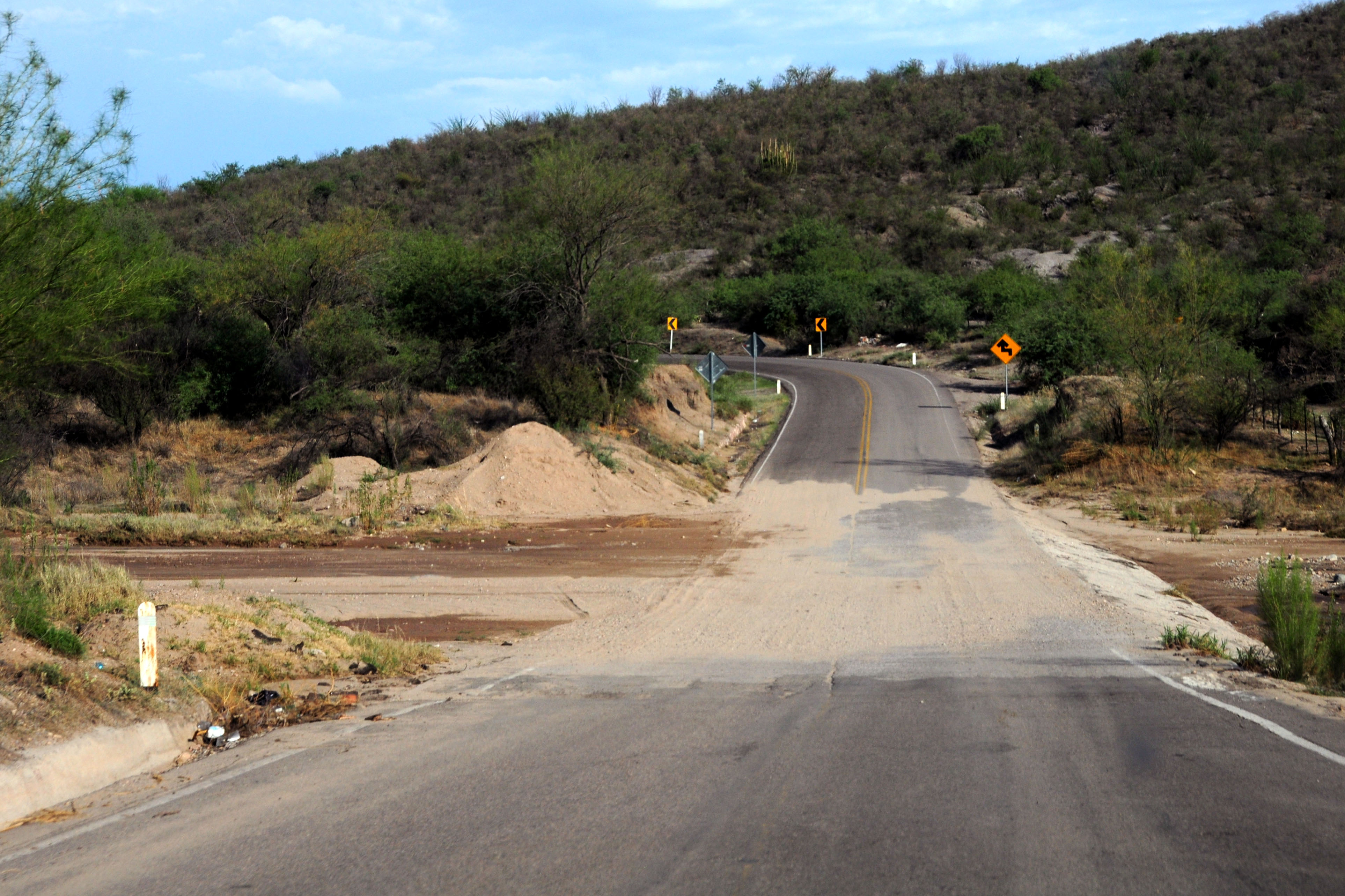
Some sand on the road.

We’ve reached Moctezuma. Technically, it should be the unbuilt continuation of 14 which goes to, and past Huasabas.

Here, we turn from 17 to 14. I spotted no state route 117 or 69 signs in the field.

Time to cross the mountains. 14 is the most winding road on our trip. I was originally set to take 16, which goes from the city of Chihuahua to Hermosillo, and that is rumored to be even more winding. Alas, time considerations made me choose 17-14 instead. Next time!
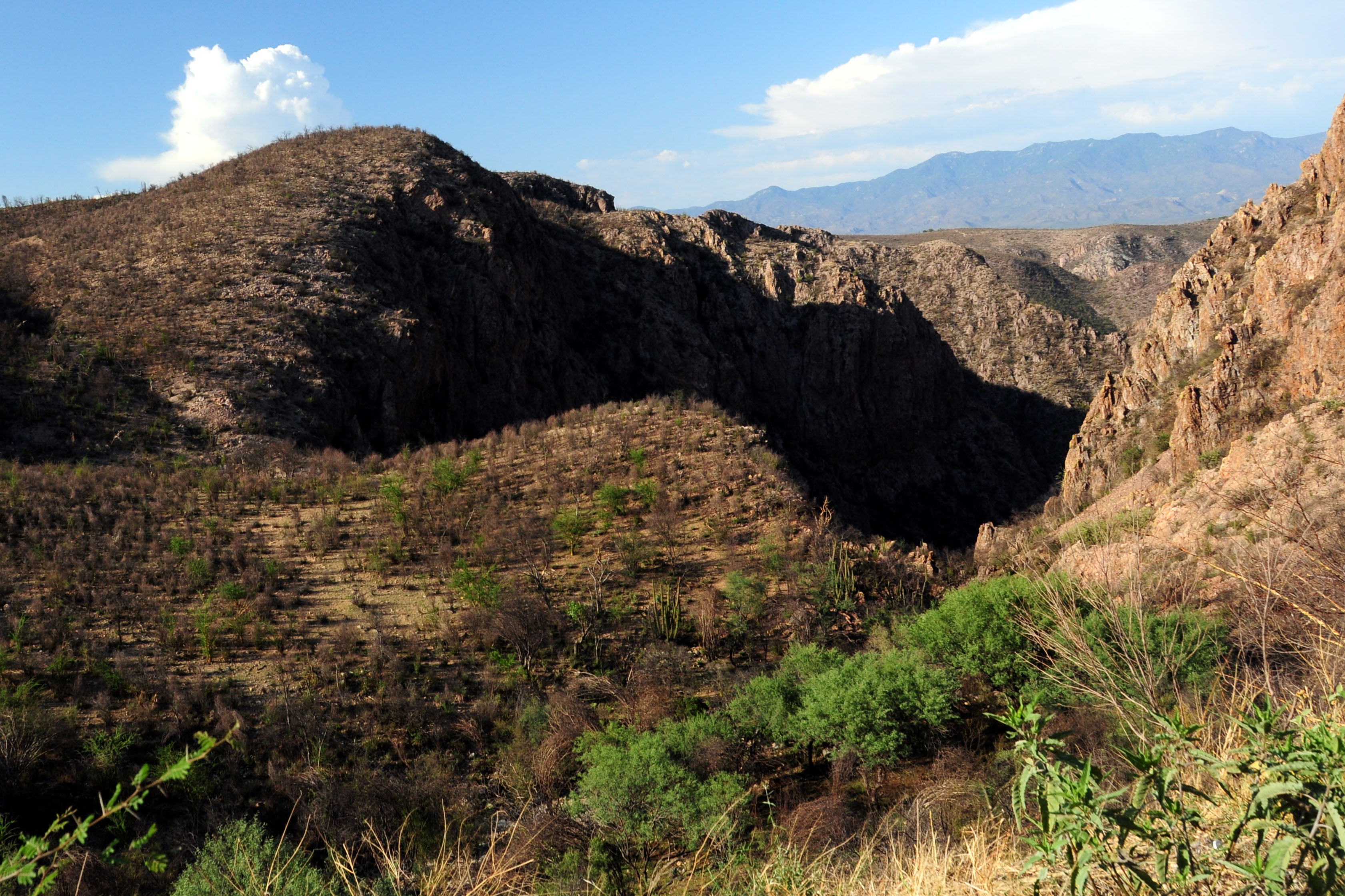
An enormous canyon, just barely visible from the highway. The road winds around it.
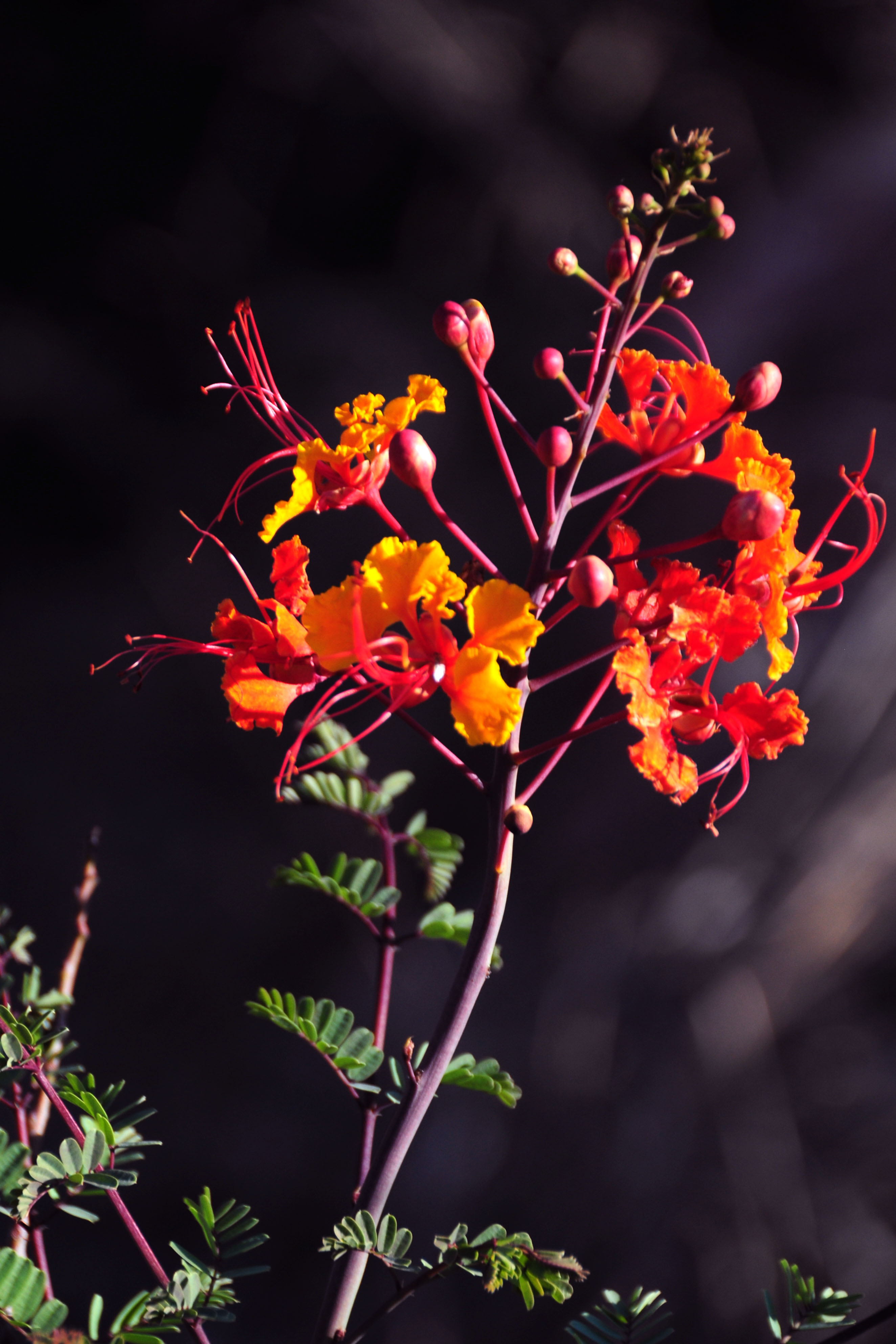
Some orange flowers by the side of the road.

Steep downhill grade.

We just crossed these mountains.

About the longest straight section we will get on highway 14 until we leave the mountains.
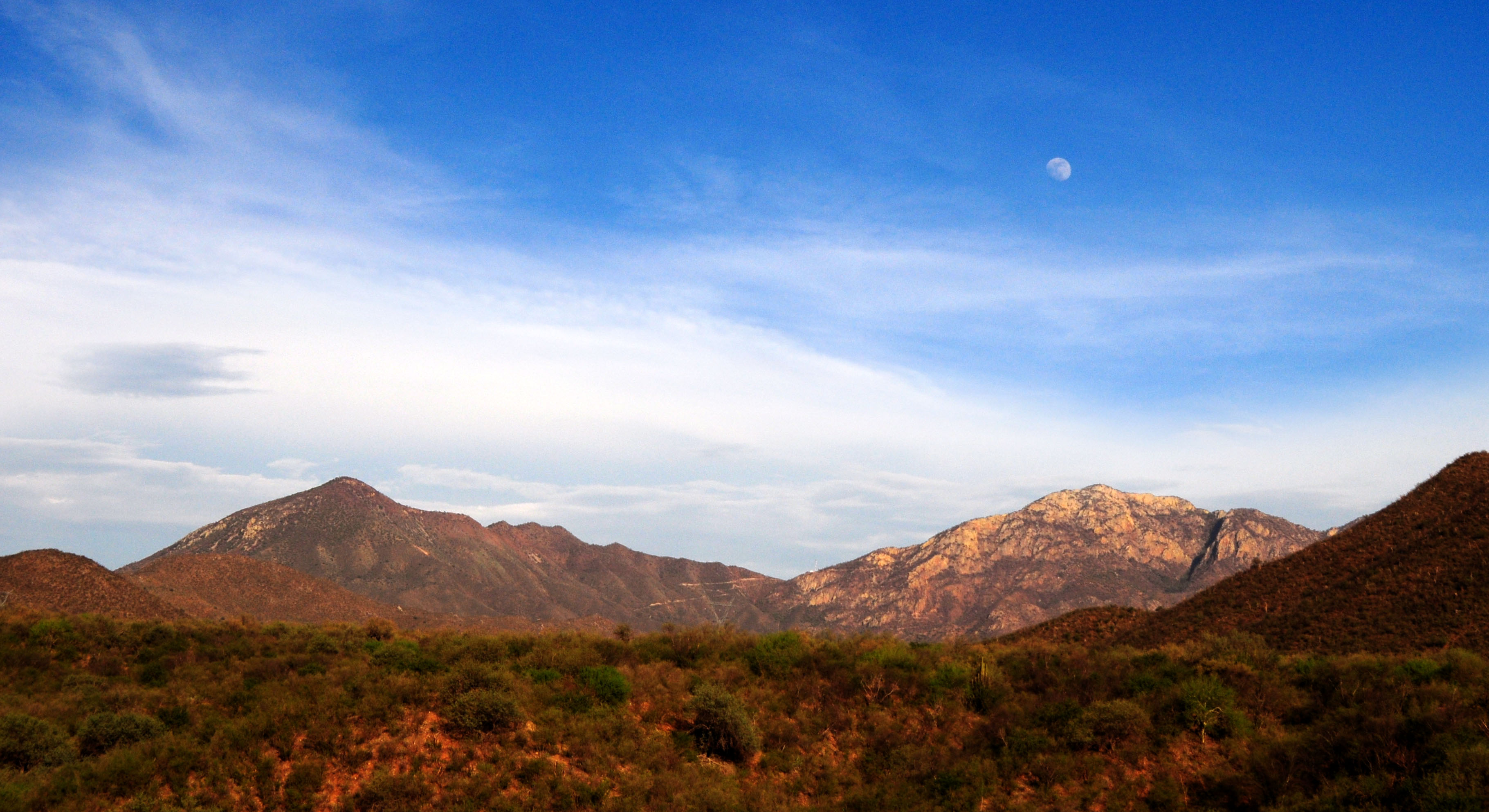
The moon rises.
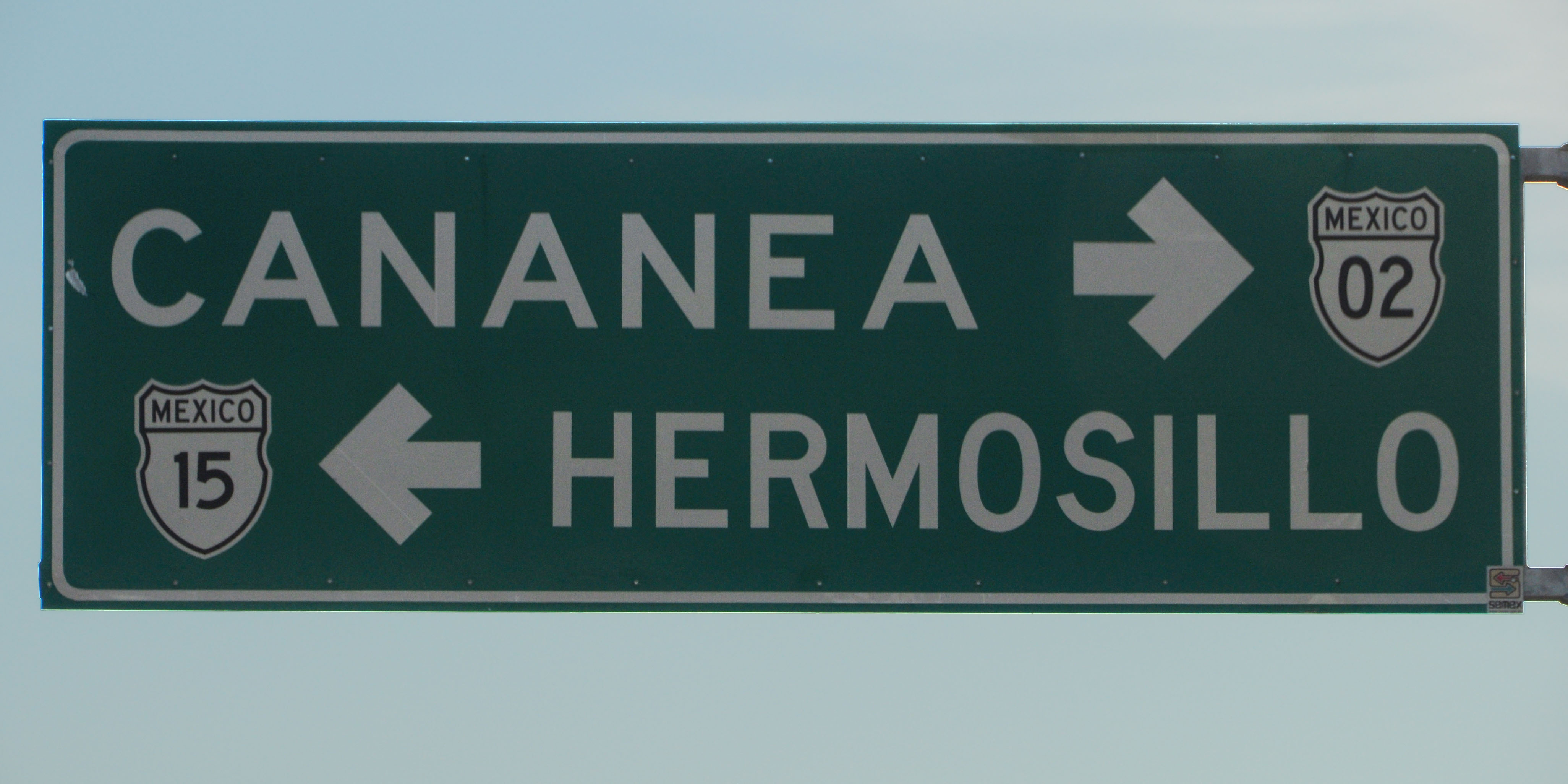
Cananea is, indeed, on highway 2. It is the next control city to the west of Agua Prieta. It is about 200 miles to the north, along a state route of unknown quality. Google Maps refuses to route along it, so it must be a fun one! We will find out, soon after I get a jeep.

Sonora 89 is labeled as Sonora 113 on my map. Some time ago, there must have been a renumbering.
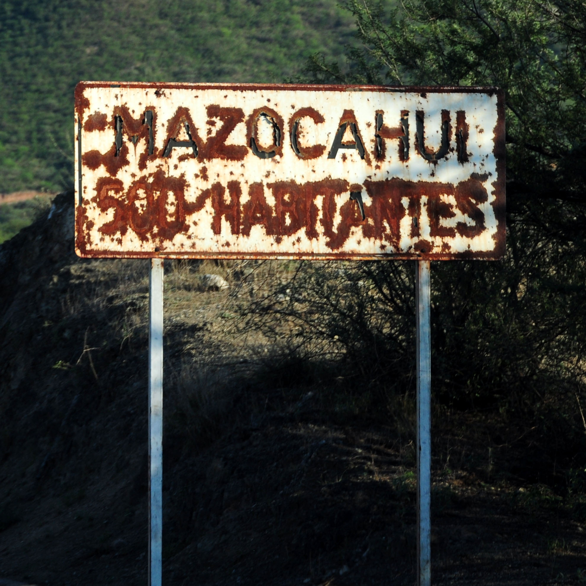
Turning around on the state highway, we encounter this steel town boundary sign.

Newly paved road.
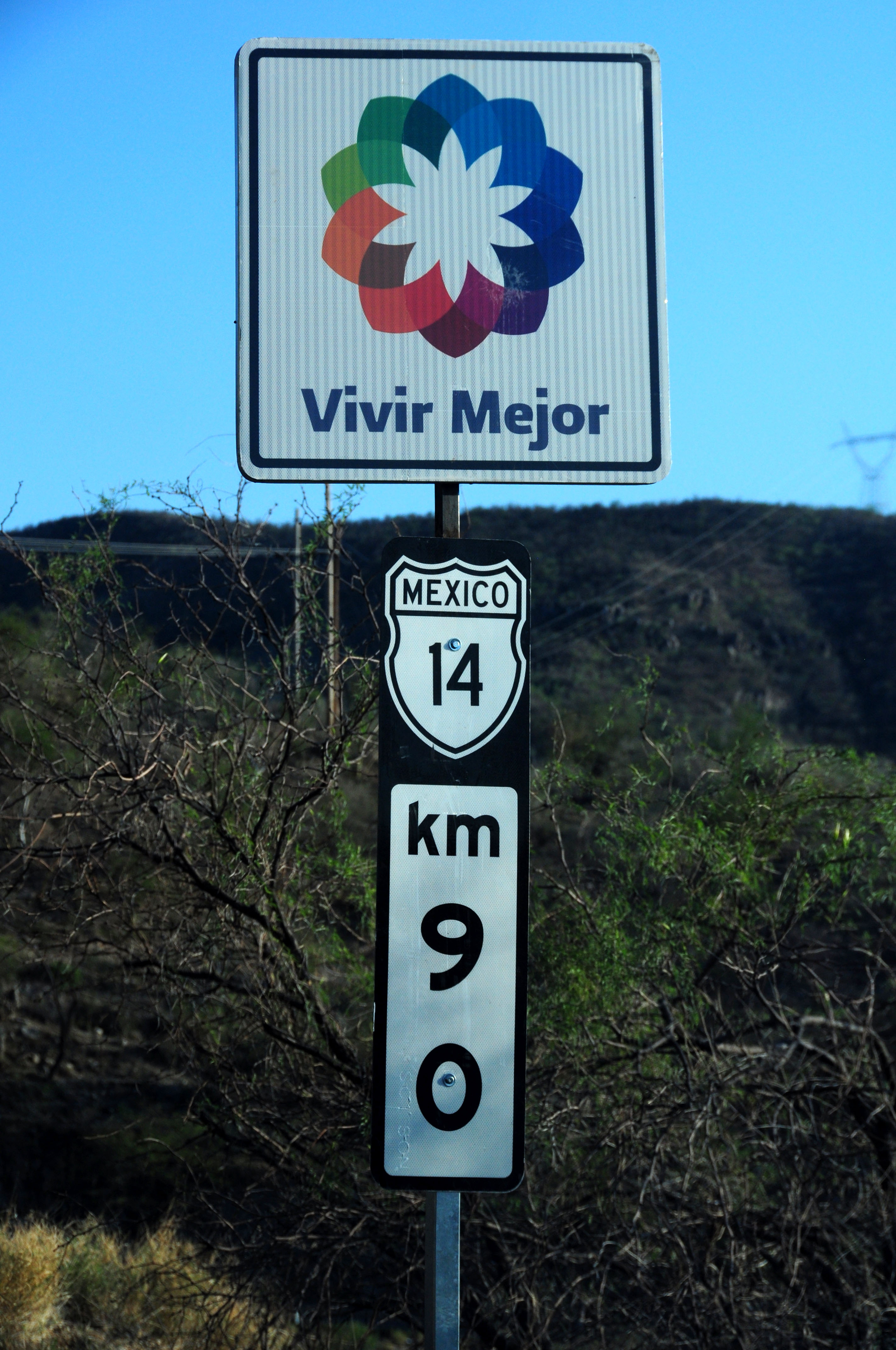
The “vivir mejor” (“live better”) sign is posted at all new construction projects.

Some final work being done. The flagman waves people around the convoy if there is no one coming around the bend.

But you’ve gotta make quick work of it!

Our first three-digit shield.

One last shot of the moon.

Getting close to Hermosillo now.

The last of 14 is an expressway, with some grade-separated exits.

Here is where 14 ends. Hermosillo is just a little way south on 15.

We arrive in the city just as the sun sets. Time for some sleep! Next up: more Sonora, and the return to the US via Baja California.
Good job, I really felt like I was the one travelling out there on these awe inspiring and breathtaking roads and picturesque scenaries. Now go on from here and take me more interior of Mexico. I think it is a wonderful land. How I wish I could travel to that marvelous country.
you should go to san carlos nuevo Guaymas is the beach near Hermosillo probably less than an hour …..an also Cd, Obregon less than 3 hras,,beautiful city with the best food…cheese,specially meat it is grown locally what we called “carne asada” and “cecina” you SHOULD try it and all fruit and vegetables…how do I know ,Because I lived there for more than 28 years,,,and ALAMOS a small little town near Cd. Obregon the super star Maria Felix lived there and a lot of north american people specially from California are some of the pioneers there..very hot…?? yes..
How safe is the ride from Agua Pietra to Hermosillo?
Planing a trip from NM to San Carlos.