- Welcome to AARoads Forum.


News:
Am able to again make updates to the Shield Gallery!
- Alex


Recent posts
#1
Pacific Southwest / Re: CA 156
Last post by Max Rockatansky - Today at 09:11:53 AMThis will probably never be a freeway. Whenever 156 between 183 and US 101 is widened I would expect there to be a similar roundabout.
#2
Southeast / Re: Complete NC 540 Project
Last post by Beltway - Today at 09:02:44 AMQuote from: Thing 342 on Today at 01:25:21 AMThis is not correct, due to N.C.G.S. §136-89.188(a) ("Revenues derived from a Turnpike Project authorized under this Article shall be used only for the following costs associated with the Project from which the revenue was derived or a contiguous toll facility"), the Monroe Expressway and the Triangle Expressway each maintain separate operating and capital budgets and are financed as individual projects.You're right to cite §136-89.188(a) and §136‑89.196 — those statutes do require revenue to be tied to the project it comes from. However, the reality of how the North Carolina Turnpike Authority operates shows a more nuanced picture.
For a broad look at NCTA's finances you can read the statements included in the Series 2024A bonds for the Triangle Expressway: https://www.ncdot.gov/divisions/turnpike/investor/Documents/official-statement-series-2024-a-b.pdf (Page 480 of 550 for Manager's Discussion and Analysis)
Furthermore, per N.C.G.S. §136‑89.196 ("The Authority shall, upon fulfillment of and subject to any restrictions included in the agreements entered into by the Authority in connection with the issuance of the Authority'srevenue bonds, remove tolls from a Turnpike Project."), tolls must be removed from an NCTA project once the revenue bonds have been retired.
While a major expansion project requiring the issuance of new debt could in theory prolong the tolls, a situation like Pennsylvania where Turnpike revenue is used as a slush fund for other unrelated projects is not possible under the current law.
While each project is financed and budgeted individually, the NCTA uses shared systems, centralized toll processing, and administrative functions across its projects — effectively creating a hybrid model. This is evidenced in documents like the FY 2025 NCTA Budget Report, which show up to 5% of total toll revenues can support joint operational expenses. It's not full pooling, but it's not purely isolated either.
So yes, the law outlines separate financing — but the execution leans collaborative, and that's why "pooled financing" remains a valid lens in understanding how these projects are sustained.
While capital and operating budgets are separate, the financial and operational architecture is interconnected. That's why calling it "pooled financing" — or at least a hybrid model — is a fair characterization.
The NCTA doesn't pool toll revenue in the traditional sense of blending all funds into one pot. But it does operate a centralized system where shared services and limited cross-project revenue use create a functional equivalent of pooled support.
The Triangle Expressway is often referred to as a single toll road, but it's actually composed of four distinct segments, each with its own financing and operational structure:
+ Triangle Parkway (NC 885), 3.5 miles, first segment to open (December 2011)
+ Western Wake Expressway (NC 540), 12.4 miles, opened in phases through 2012
+ Southern Wake Expressway (NC 540), 16.5 miles (plus a 4.41-mile extension opened in 2024), completed in stages through 2013 and 2024
+ Phase 2 of the Complete 540 project, 10 miles, scheduled completion: 2028
Each segment was financed separately — with its own revenue bonds, trust agreements, and tolling schedules — and they maintain individual capital and operating budgets.
So while the Triangle Expressway functions as a continuous corridor, it's legally and financially treated as four separate toll facilities built at different times -- and future de-tolling would presumably not be a simple one time event -- so this highway itself is using pooled toll financing.
#3
Southeast / Re: Interstate 42 (E)
Last post by epzik8 - Today at 08:42:06 AMWell, I'm very upset that I apparently won't get to see any I-42 shields in person when I go through Selma/Smithfield on I-95 this week. Too early in the game I guess.
#4
General Highway Talk / Re: XY Challenge
Last post by Jim - Today at 08:29:27 AMSomehow I have never gotten a picture of US 11/US 20. I am sure someone can cover that.
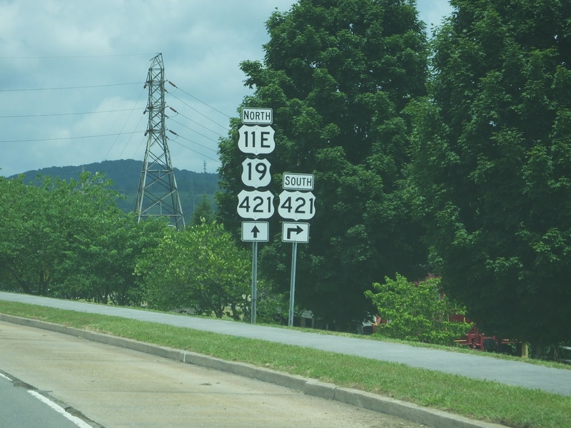
US 11E, US 19, and US 421 near Bristol, Tennessee. July 17, 2018.
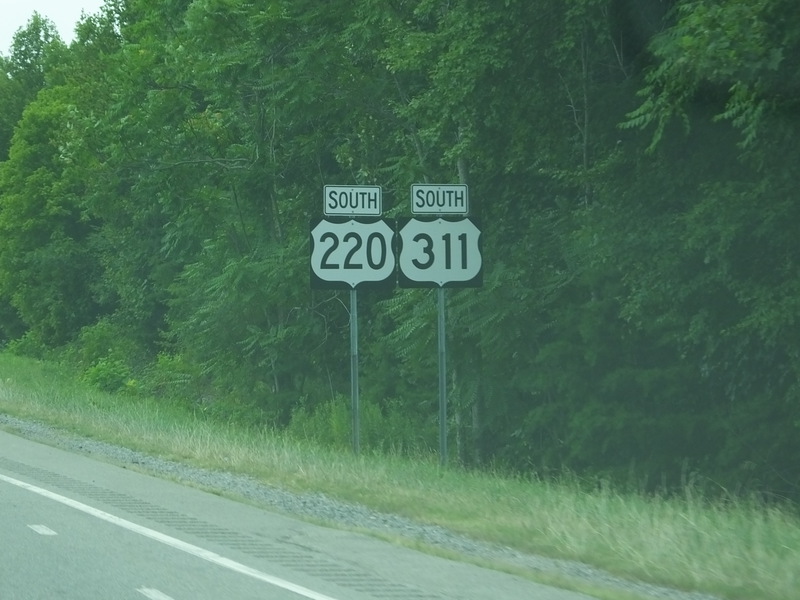
US 220 and US 311 near Mayodan, North Carolina. July 16, 2018.
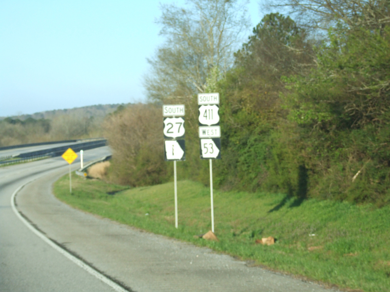
A very poor picture of US 27 and US 411 near Rome, Georgia. March 30, 2014.
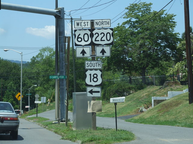
And one that's not really there: an error US 18 with US 220 in Covington, Virginia. July 11, 2008.
US 11E, US 19, and US 421 near Bristol, Tennessee. July 17, 2018.
US 220 and US 311 near Mayodan, North Carolina. July 16, 2018.
A very poor picture of US 27 and US 411 near Rome, Georgia. March 30, 2014.
And one that's not really there: an error US 18 with US 220 in Covington, Virginia. July 11, 2008.
#5
Great Lakes and Ohio Valley / Re: Ashland Avenue Viaduct in ...
Last post by on_wisconsin - Today at 07:44:30 AMTear down the eyesore "bridge over nothing" and replace it with a tasteful boulevard and multi-use path. Put a stipulation in the deal with the railroad that the govt will help fund a crossing in the unlikely event a track or two needs to ever be put back. The land is almost certainly going to be sold for redevelopment, rather than reverting to an active rail yard at this point anyway.
#6
Off-Topic / Re: Changing one letter of a t...
Last post by Scott5114 - Today at 07:29:19 AMQuote from: kphoger on July 11, 2025, 02:35:24 PMNational Boards ► General Highway Talk ► BOOBS!
Quote from: my wife, in St. George yesterdayWhy does Utah use a boob as their highway sign?
#7
General Highway Talk / Re: XY Challenge
Last post by wanderer2575 - Today at 07:06:06 AMPosting late because I couldn't get onto Imgur last night: The brief US-11/US-211 concurrency in New Market, VA.

#8
Off-Topic / Re: __________ is/are underrat...
Last post by Scott5114 - Today at 04:55:13 AMOld US 91 in Arizona and Utah. Very cool old alignment, just happens to have the bad luck of not being quite as cool as the freaking Virgin River Gorge that replaced it.
Quote from: kphoger on June 24, 2025, 09:48:18 PMTexas 'goalpost' shield assemblies.They show up in the darndest places.
#9
Northwest / Re: Oregon
Last post by Bickendan - Today at 02:42:32 AMQuote from: xonhulu on July 11, 2025, 02:07:55 AMI could also add Oregon's use of highway-based mileposting, as opposed to route-based. Although it's still better than California's county-based mileposts, IMO.Now if ODOT decided to dual sign ORH shields with the I-/US/OR shields...

(state outline shield would be perfect for ORH, but I'd rather they bring back the eagle shields for the OR route shields first)
Quote from: Sub-Urbanite on July 11, 2025, 03:50:49 PMQuote from: Bickendan on July 09, 2025, 01:12:17 AMQuote from: Sub-Urbanite on July 08, 2025, 05:15:27 PMThe in-state control cities don't bother me, but I do agree Redding/Sacramento and Boise should appear as the long-distance control. I'd even say Seattle should show up north of Salem.Quote from: PNWRoadgeek on July 08, 2025, 10:35:45 AMI have a question for you all.
What are your biggest signage annoyances in Oregon?
Too many in-state control cities on freeway distance signs.
Redding should appear on the three-deck distance signs after Grants Pass. Boise should show up at least by I-82.Quote from: xonhulu on July 08, 2025, 10:58:58 PMMy #1 would be the END SPEED ZONE signs instead of just posting the new speed limit.If I recall correctly, END SPEED ZONE means the speed limit returns to the statutory default of 55. If that's the case and it's consistent, I'm not bothered but I will say a 'SPEED 55' sign is more intuitive.
Followed by "Ocean Beaches" as a freqent control city for routes leading to the coast from the Willamette Valley.
Ocean Beaches is a bit too generic; the only instance I think it works is westbound US 26 east of Tillamook Junction, as both Tillamook and Seaside are on that initial corridor.
Yeah, I mean, I'm fine with Pendleton showing up on I-84 and Medford on I-5.
But... 7 of the 17 I-5 control cities are in Oregon. That's 41% of the control cities for 23% of the miles. Roseburg? Grants Pass? ASHLAND? No. Go away.
And on I-84, 7 of the 10 control cities are in Oregon. Looking at you, Ontario, Baker, La Grande and Hermiston.
As for Ocean Beaches, as you mentioned, it's complicated because of the 6/26 split in particular. I always thought "Oregon Coast" would make the most sense on the I-5 corridor and then start specifying city names as you approach the Coast Range.
Let's see... I-5 south
Vancouver: Portland
Portland: Wilsonville, Woodburn, Salem
Wilsonville: Woodburn, Salem, Eugene/Springfield (because ODOT will bounce between these two)
Woodburn: Keizer, Salem, Eugene/Springfield [Keizer could be omitted honestly]
Gervais: Salem, Eugene/Springfield
Salem: Albany, Corvallis, Eugene/Springfield
Albany: Corvallis, Eugene/Springfield
OR 34: Eugene/Springfield, Medford
Eugene: Roseburg, Medford, Redding
Cottage Grove: Roseburg, Grants Pass, Medford
Roseburg: Canyonville, Grant Pass, Medford
Canyonville: Grants Pass, Medford, Redding
Grants Pass: Gold Hill, Central Point, Medford -or- Medford, Redding, Sacramento
Medford: Ashland, Yreka, Redding
Ashland: Weed
#10
Off-Topic / Re: Minor things that bother y...
Last post by Scott5114 - Today at 02:06:01 AMQuote from: kphoger on July 11, 2025, 09:14:55 AMIf you have trouble staying between these lines, then you have driving problems that striping tweaks won't solve.
I have heard in rural Nevada it's common to just straddle the yellow line because that makes it easier to not go off the road at triple-digit speeds.