
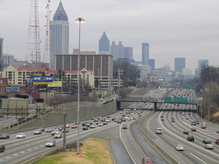
Georgia
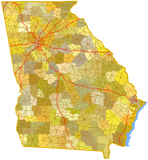
Sitemap to all pages covering the state of Georgia. Photographic contributions by Alex Nitzman, Andy Field, Brent Ivy, Carter Buchanan, JT Legg, and Justin Cozart.
Route Categories
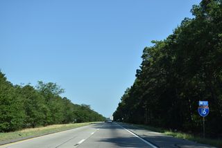
Interstates
19 routes, 4,408 photos
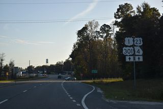
U.S. Highways
20 routes, 2,177 photos
State Routes
36 routes, 1,216 photos
Other Roads
7 routes, 211 photos
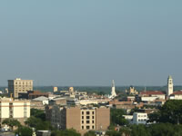
Savannah
103 PhotosPopulation
| State Population | |||||
|---|---|---|---|---|---|
| 10,711,908 | |||||
| Metropolitan Populations | |||||
| Atlanta-Sandy Springs-Alpharetta | 6,089,815 | Augusta-Richmond County | 611,000 | Columbus | 328,883 |
| Macon-Bibb County | 233,802 | Athens-Clarke County | 215,415 | Albany | 148,922 |
| Top County Populations | |||||
| Fulton | 1,066,710 | Gwinnett | 957,062 | Cobb | 766,149 |
| Dekalb | 764,382 | Clayton | 297,595 | Chatham | 295,291 |
| Cherokee | 266,620 | Forsyth | 251,283 | Henry | 240,712 |
| Top City Populations | |||||
| Atlanta | 512,550 | Augusta | 202,079 | Columbus | 196,442 |
| Macon | 152,737 | Savannah | 143,632 | Athens | 127,795 |
| Sandy Springs | 109,928 | Roswell | 95,434 | Johns Creek | 85,192 |
| Sources: 2020 U.S. Census Data (metro populations and counties), 2020 U.S. Census Estimate (cities) | |||||
About Georgia
- Capital:
 Atlanta
 - Nickname: Peach State
- State Flower: Cherokee Rose
- State Bird: Brown Thrasher
- State Tree: Live Oak
- Total Interstate Mileage: 1,243.98
- Land Area: 57,513.49 square miles
- Highest Point: Brasstown Bald 4,784 Feet
- Lowest Point: Sea level
- Number of Counties: 159
- Statehood: 4th state; admitted January 2, 1788
Last updated: Wednesday November 30, 2022