
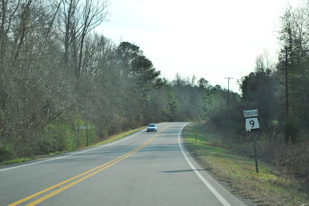
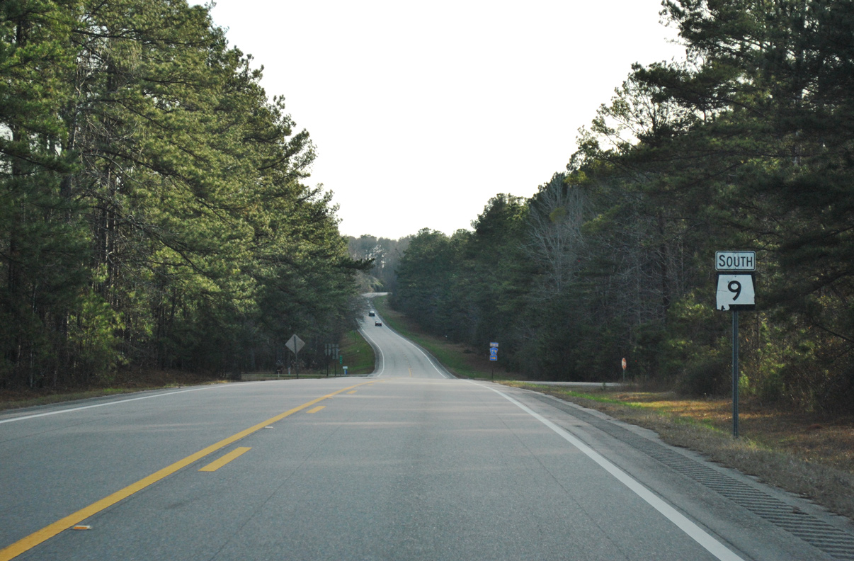
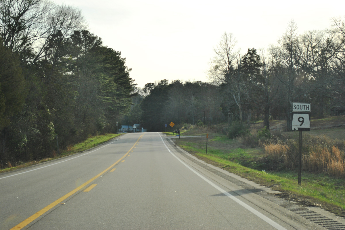
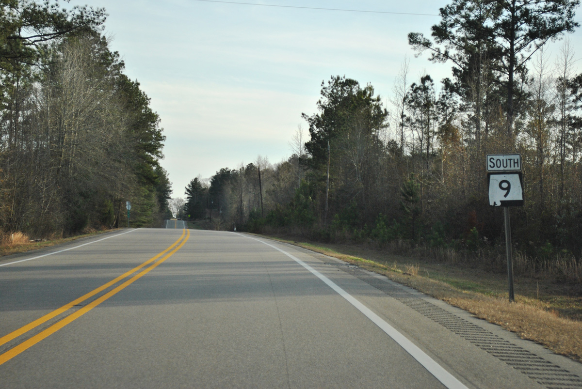
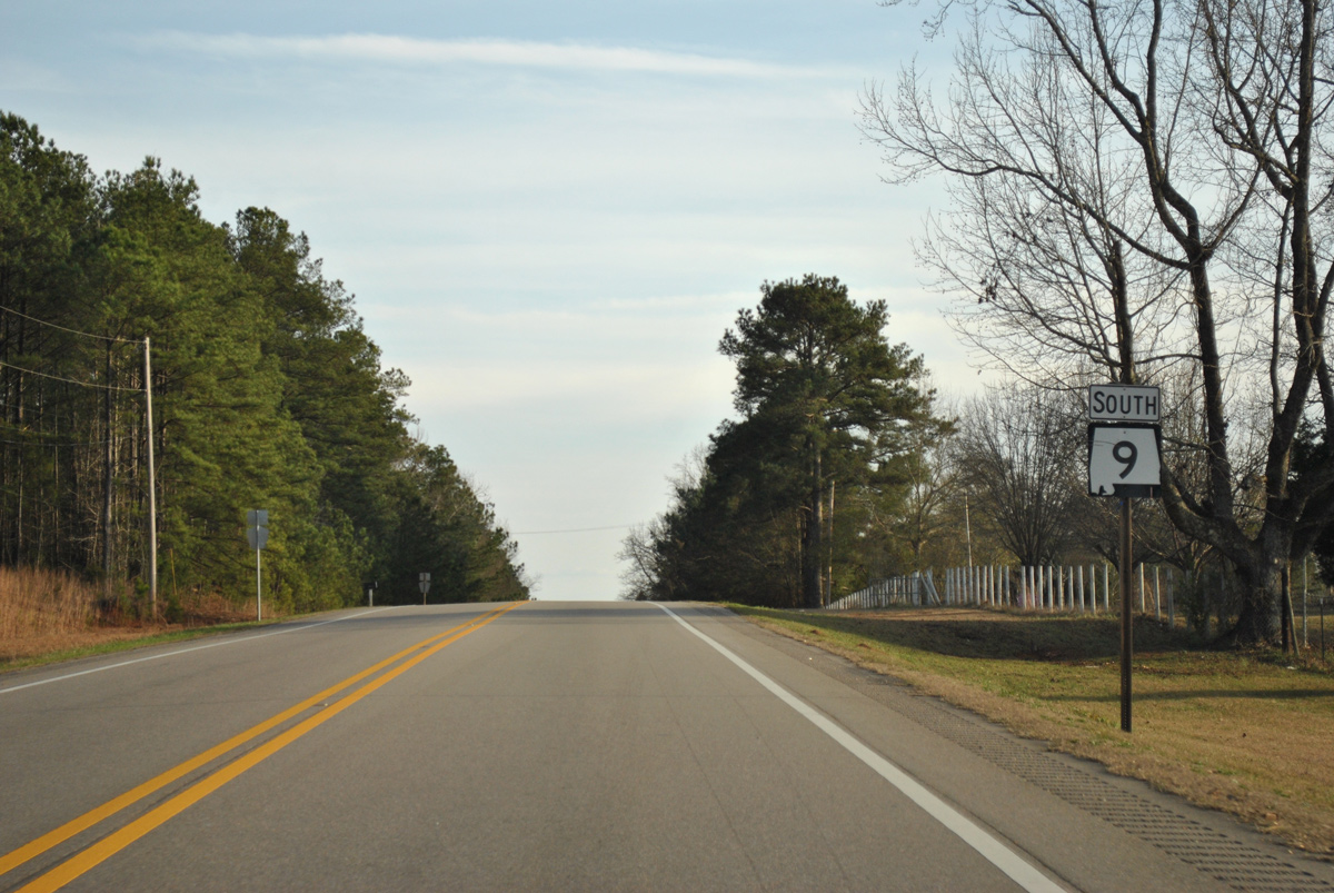
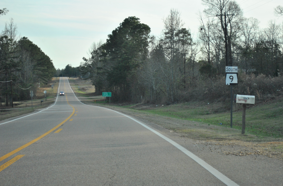
State Route 9 South - Kellyton to Wetumpka

 South
South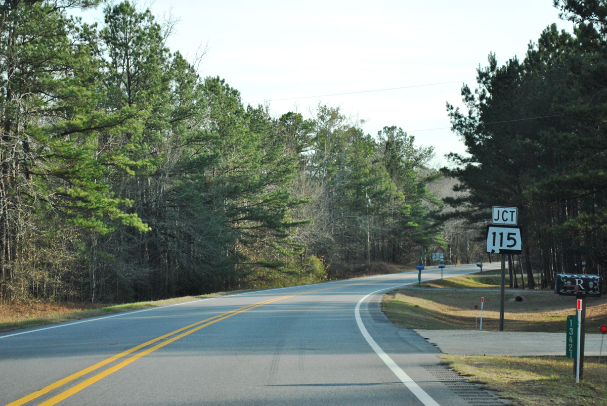
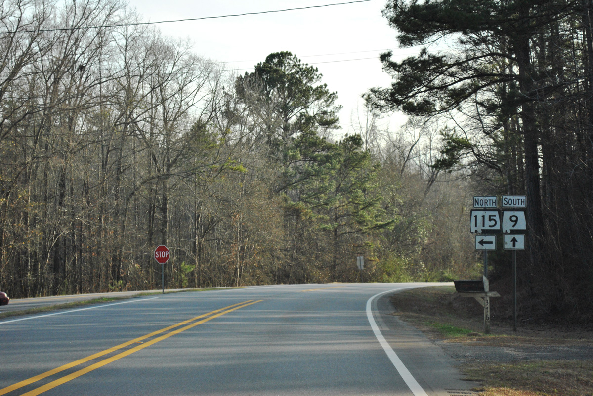
SR 115 constitutes a 3.25 mile long connector north from SR 9 to U.S. 280 at the town of Kellyton.
01/21/13
01/21/13
01/21/13
01/21/13
01/21/13
01/21/13
01/21/13
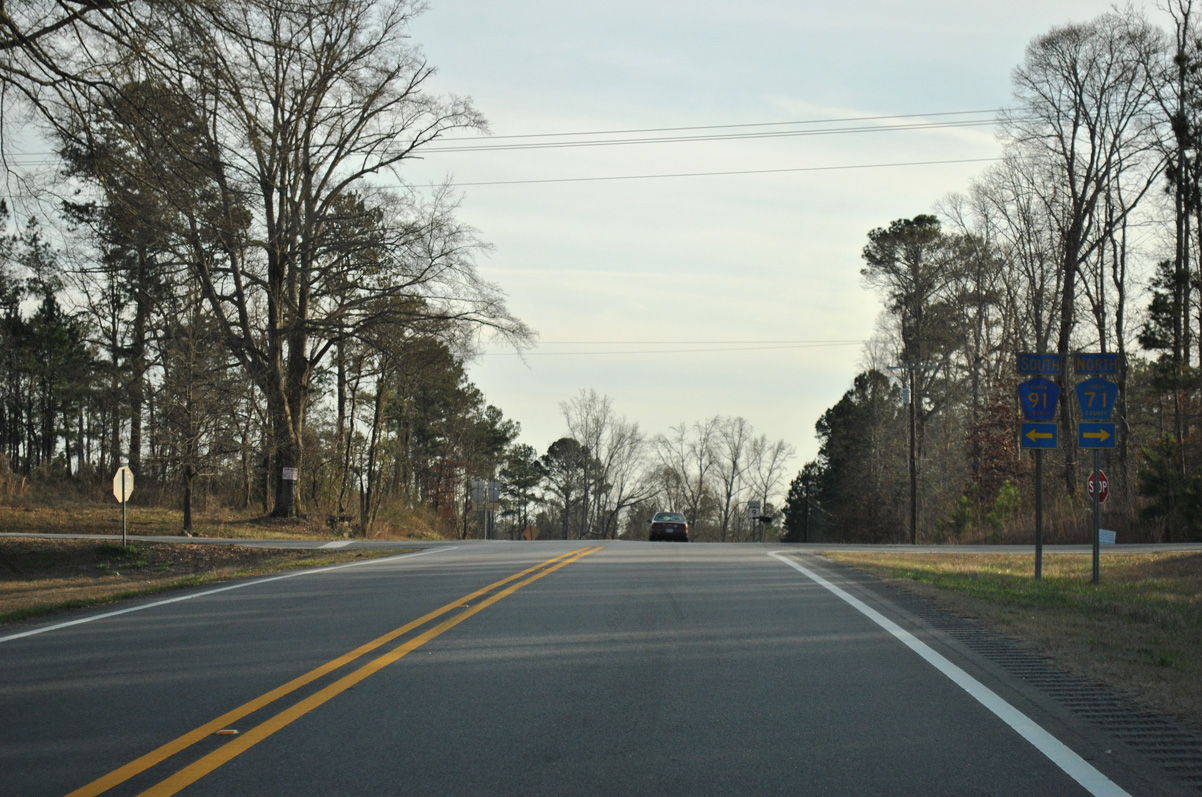
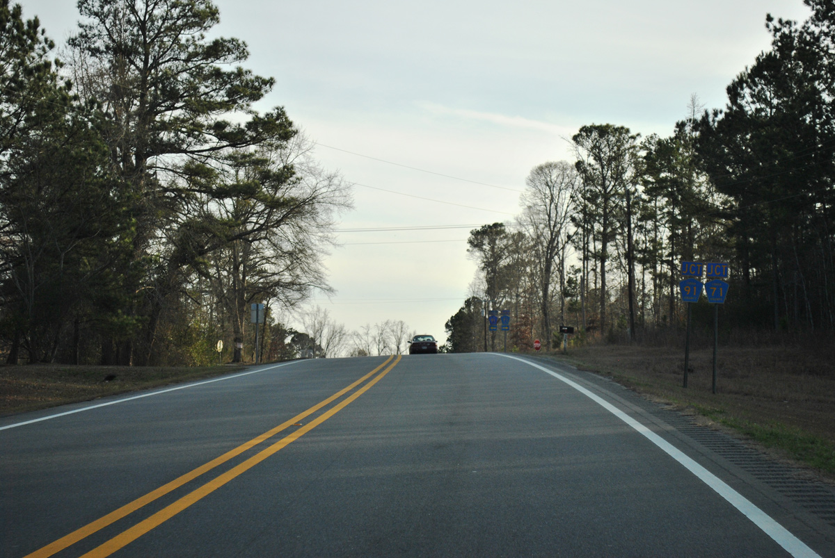
CR 91 loops 2.8 miles east from SR 9/CR 71 to SR 22 near the settlement of Ray.
01/21/13
01/21/13
01/21/13
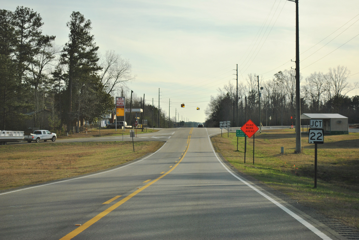
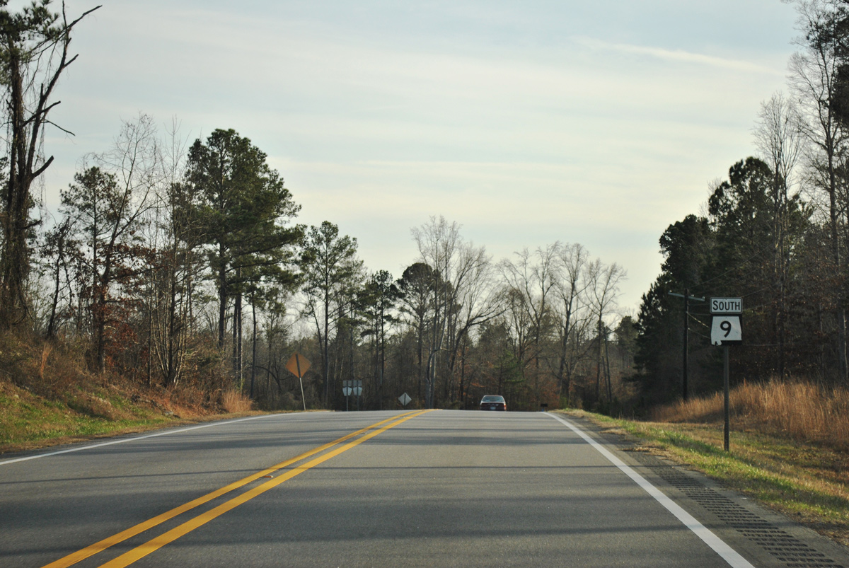
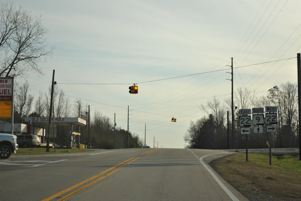
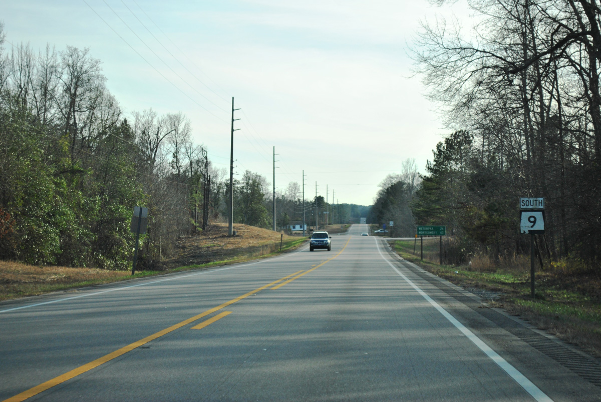
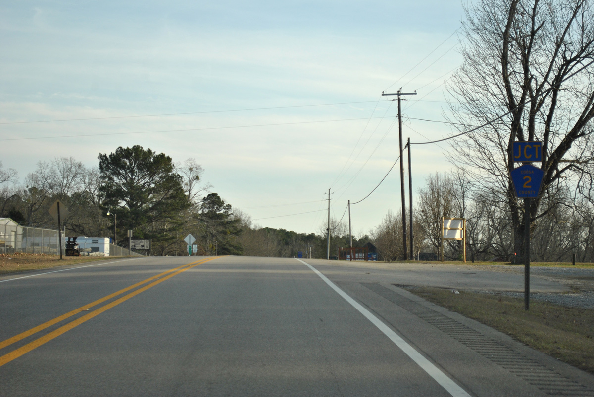
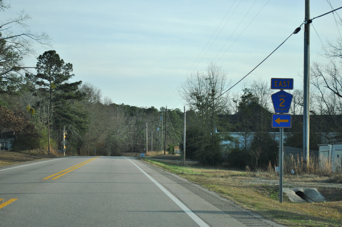
SR 22 converges with SR 9 at a staggered intersection northeast of Cottage Grove.
01/21/13
01/21/13
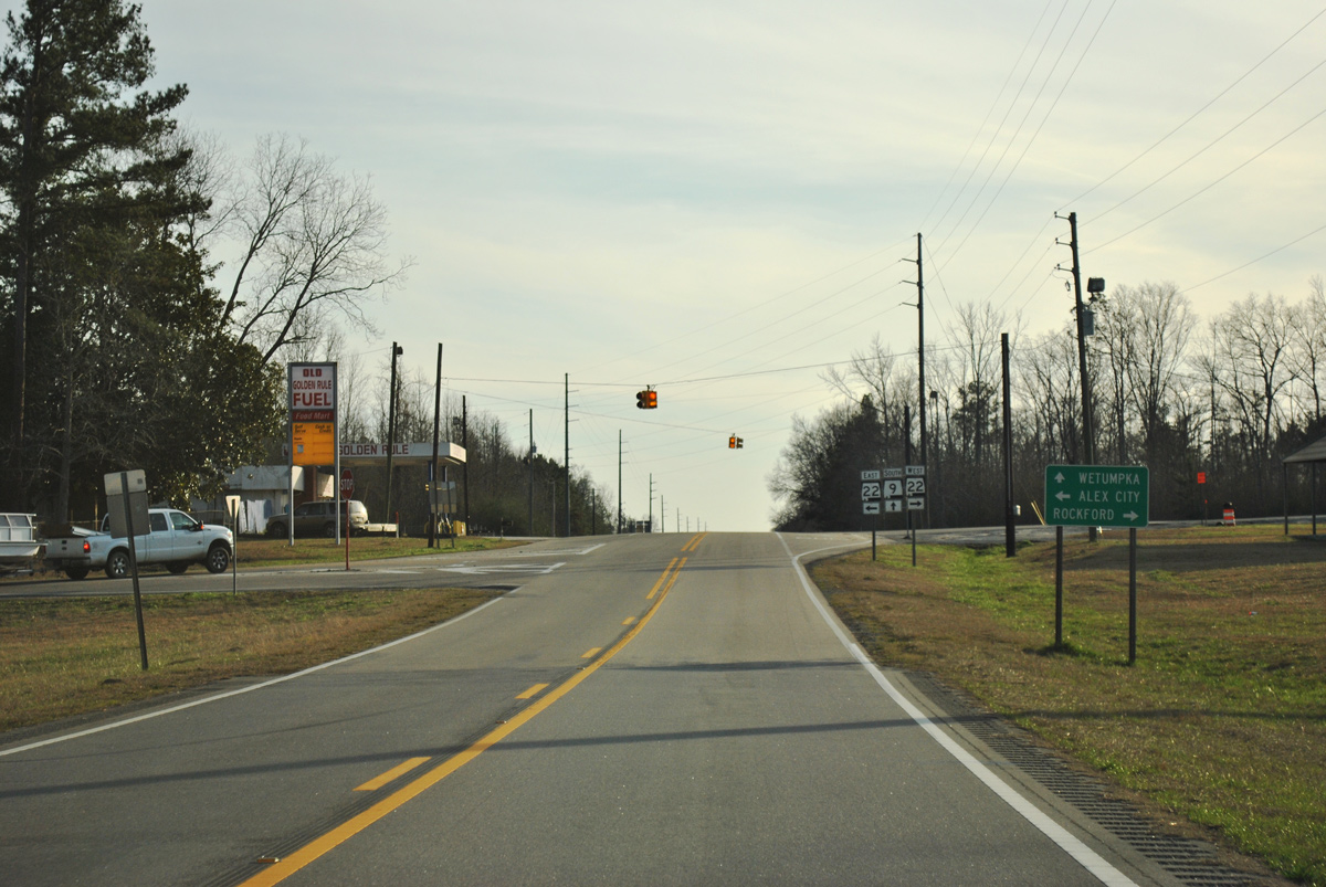
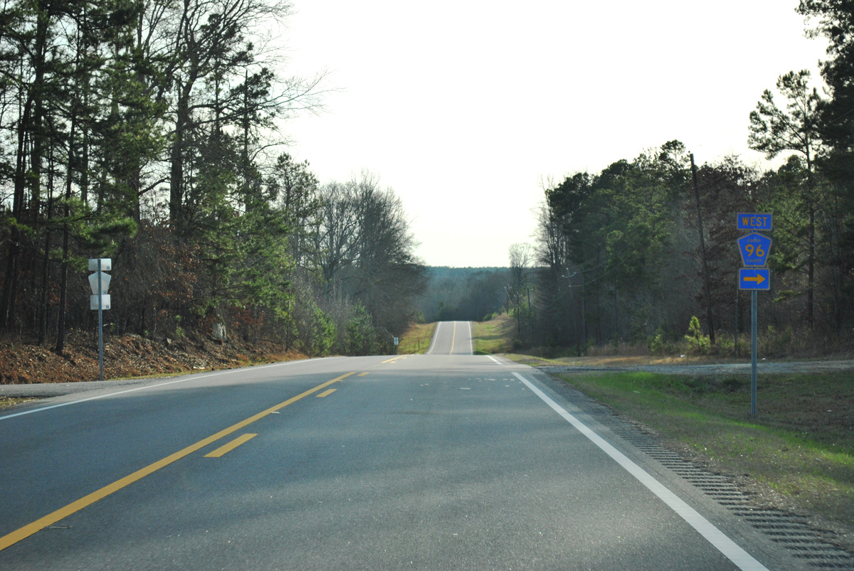
SR 22 heads 8.77 miles northeast to U.S. 280 in Alexander City and 8.08 miles west to the Coosa County seat of Rockford.
01/21/13
01/21/13
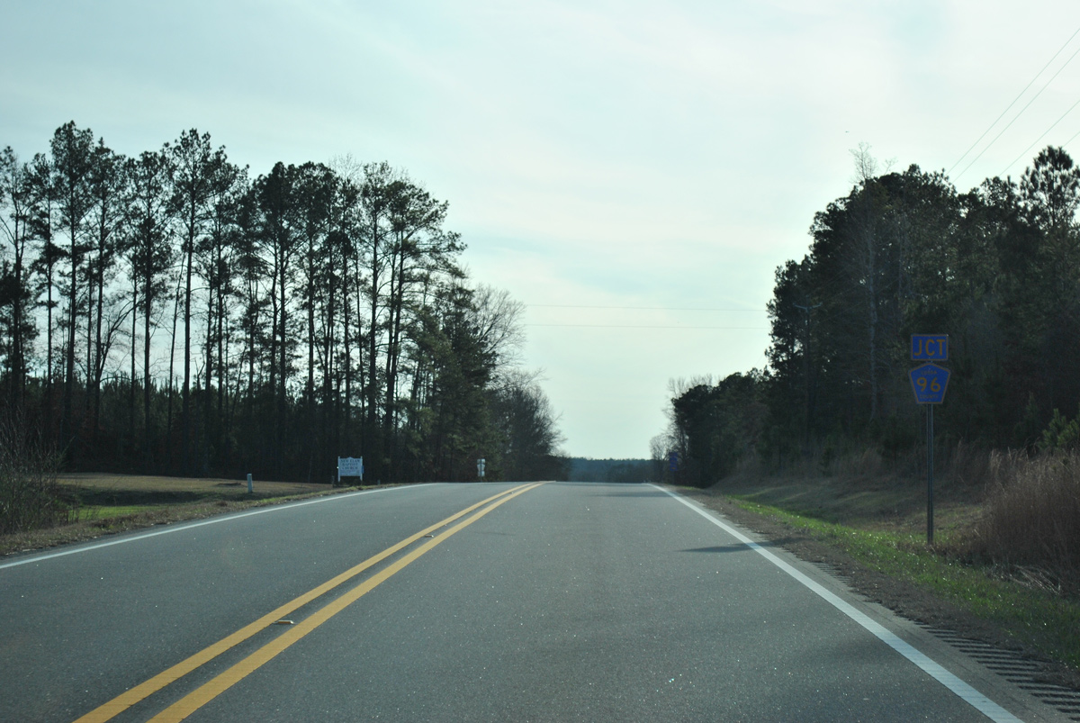
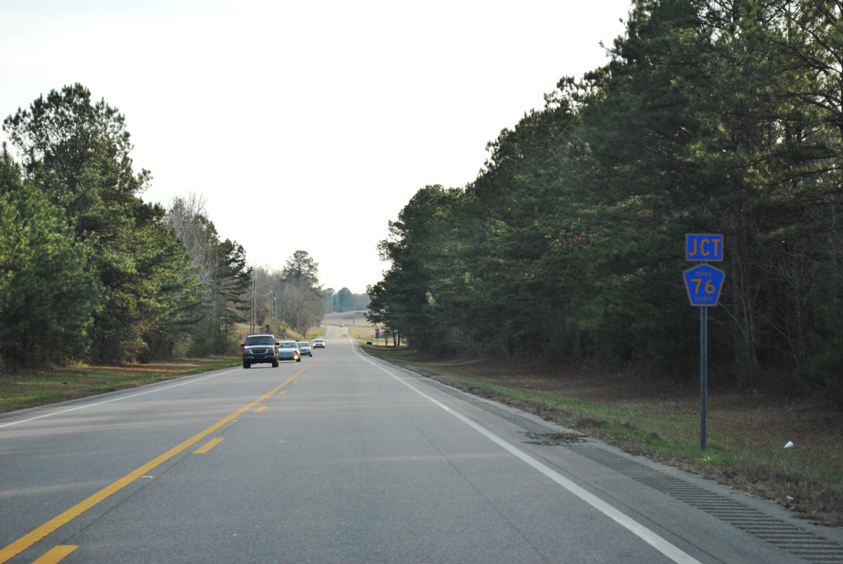
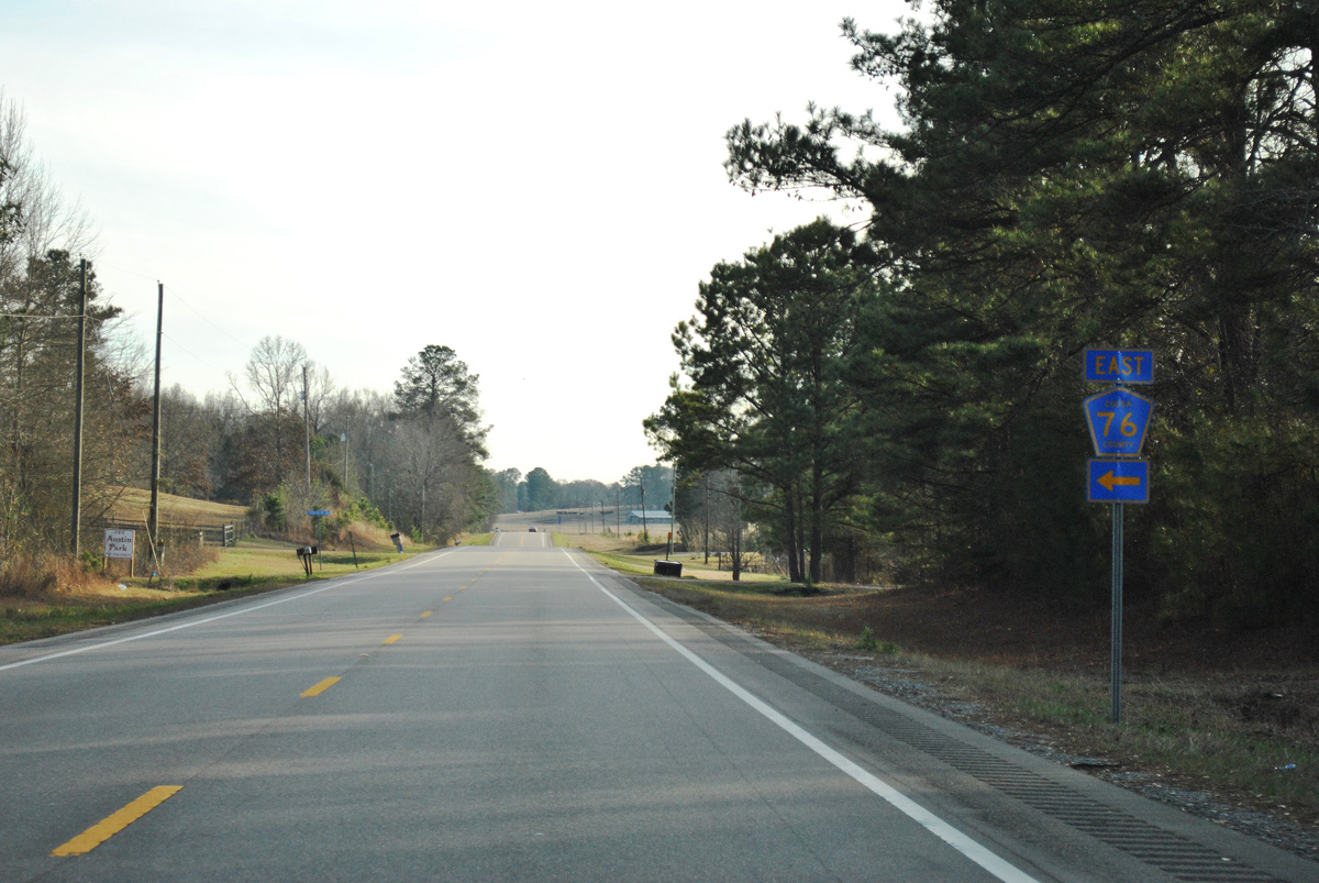
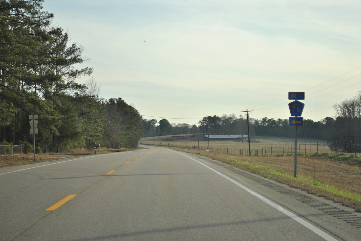
Overall State Route 22 runs 168.54 miles east from SR 5 at Safford to Selma, Clanton and Georgia State Route 34 east of Roanoke.
01/21/13
01/21/13
01/21/13
01/21/13
01/21/13

01/21/13
01/21/13
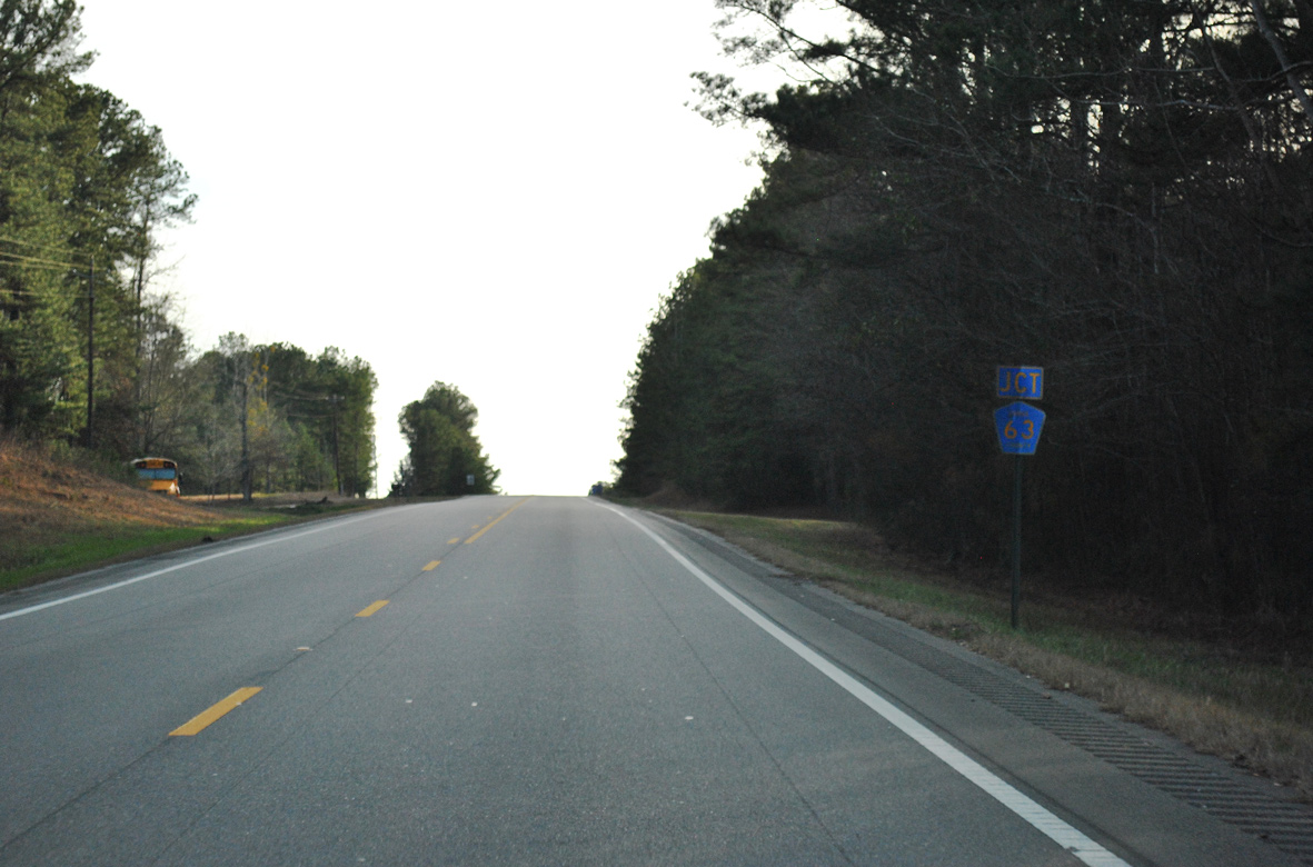
CR 63 angles 4.5 miles southwest from SR 22 near Ray to SR 9.
01/21/13
01/21/13
01/21/13
01/21/13
01/21/13
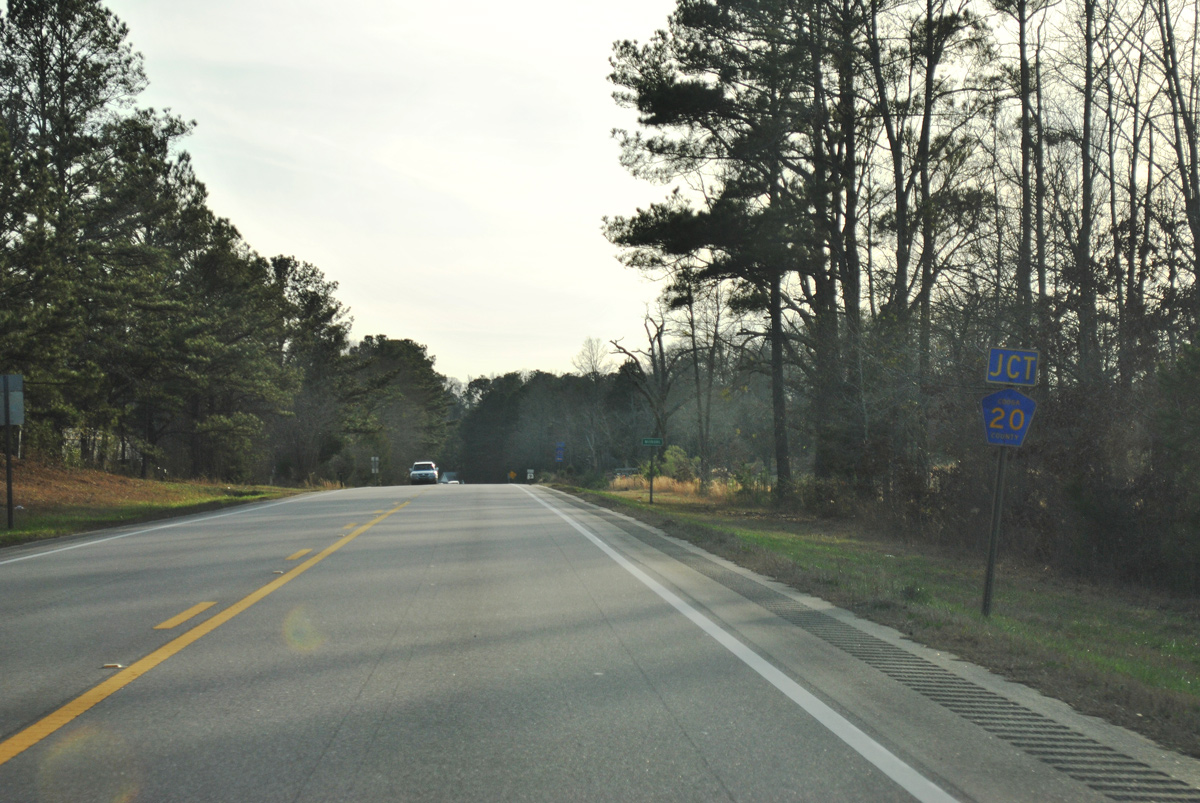
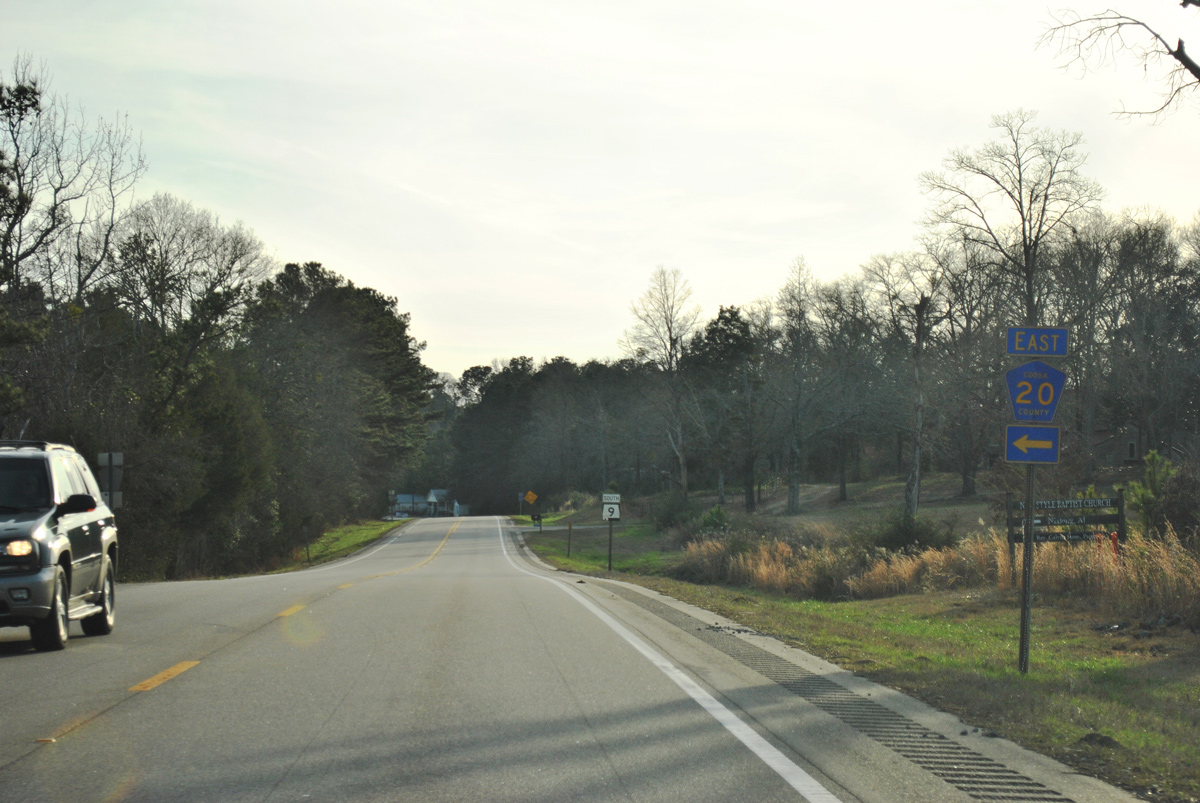
CR 20 travels east from SR 9 near Nixburg to SR 259 and Martin Lake.
01/21/13
01/21/13
01/21/13
01/21/13
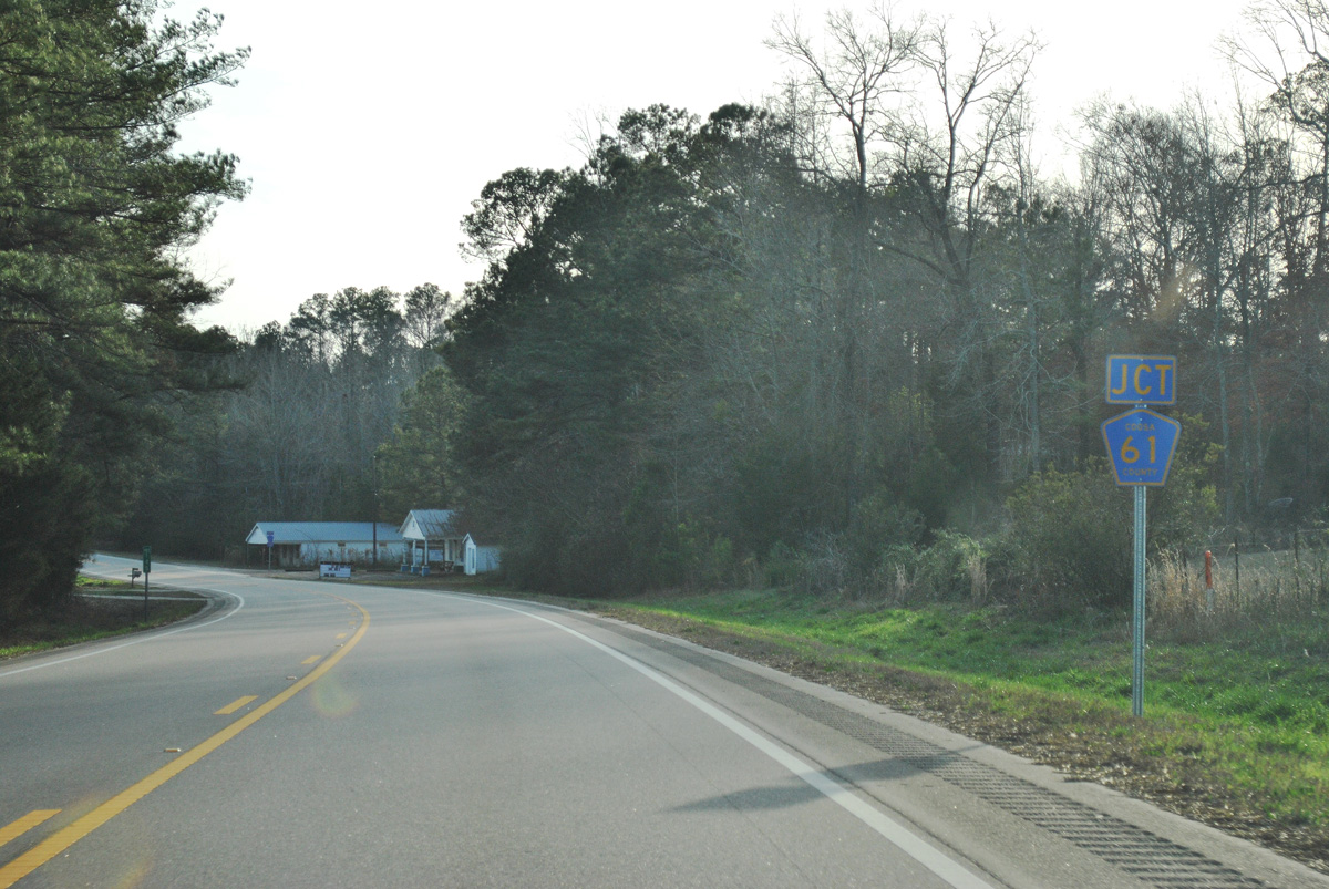
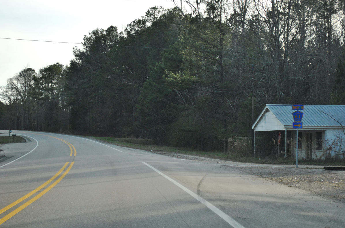
State Route 9 meets County Route 61 north at the rural community of Nixburg.
01/21/13
01/21/13
01/21/13
01/21/13
01/21/13
01/21/13
01/21/13
01/21/13
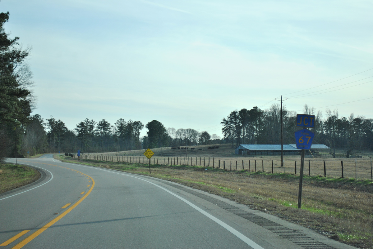
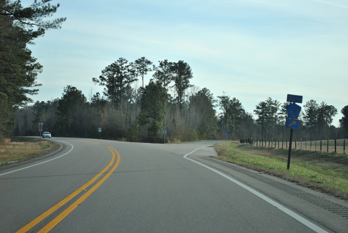
CR 67 provides a cutoff from SR 9 south to CR 14 west for Rehobeth.
01/21/13
01/21/13
01/21/13
01/21/13
01/21/13
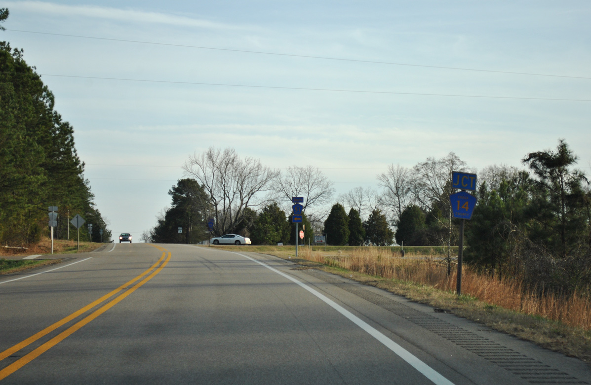
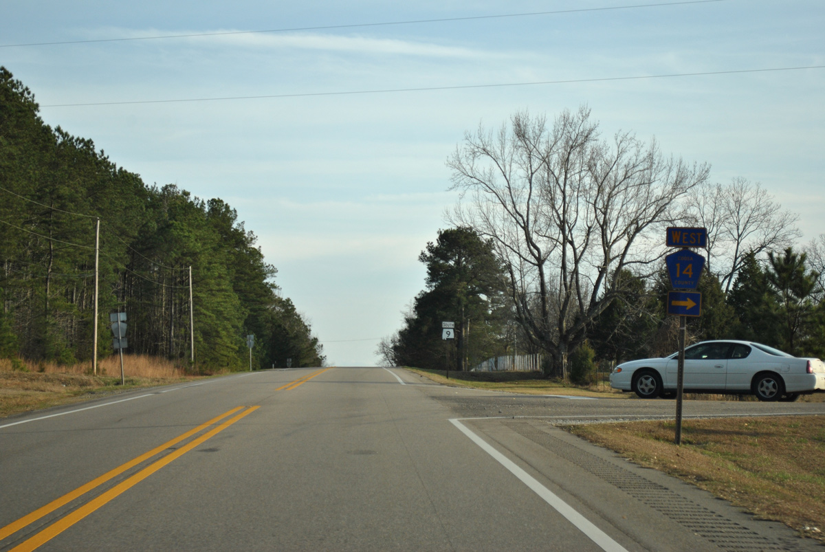
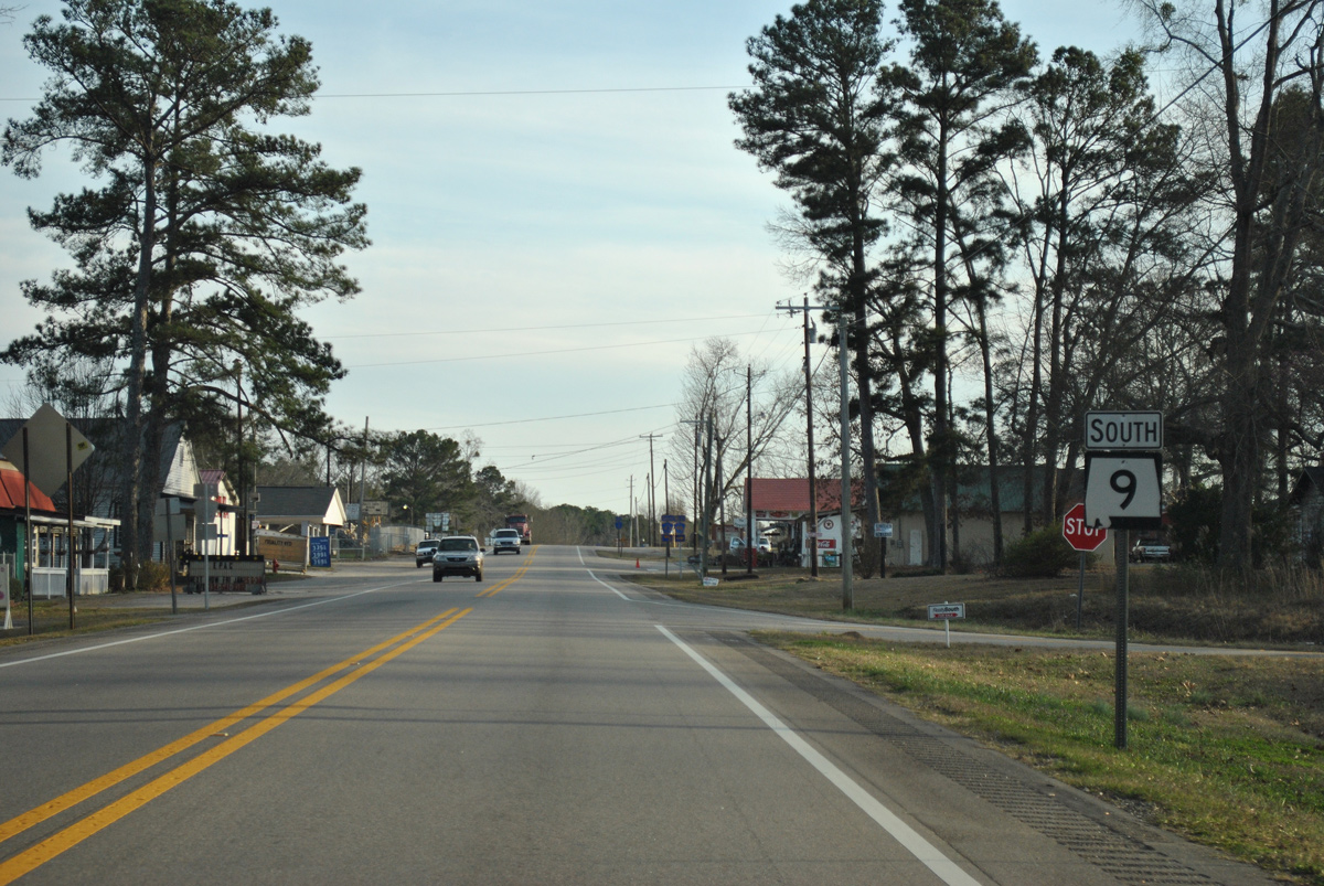
County Route 14 travels 13.7 miles west to U.S. 231/SR 21 at Pentonville, Richville and CR 29 near Travelers Rest.
01/21/13
01/21/13
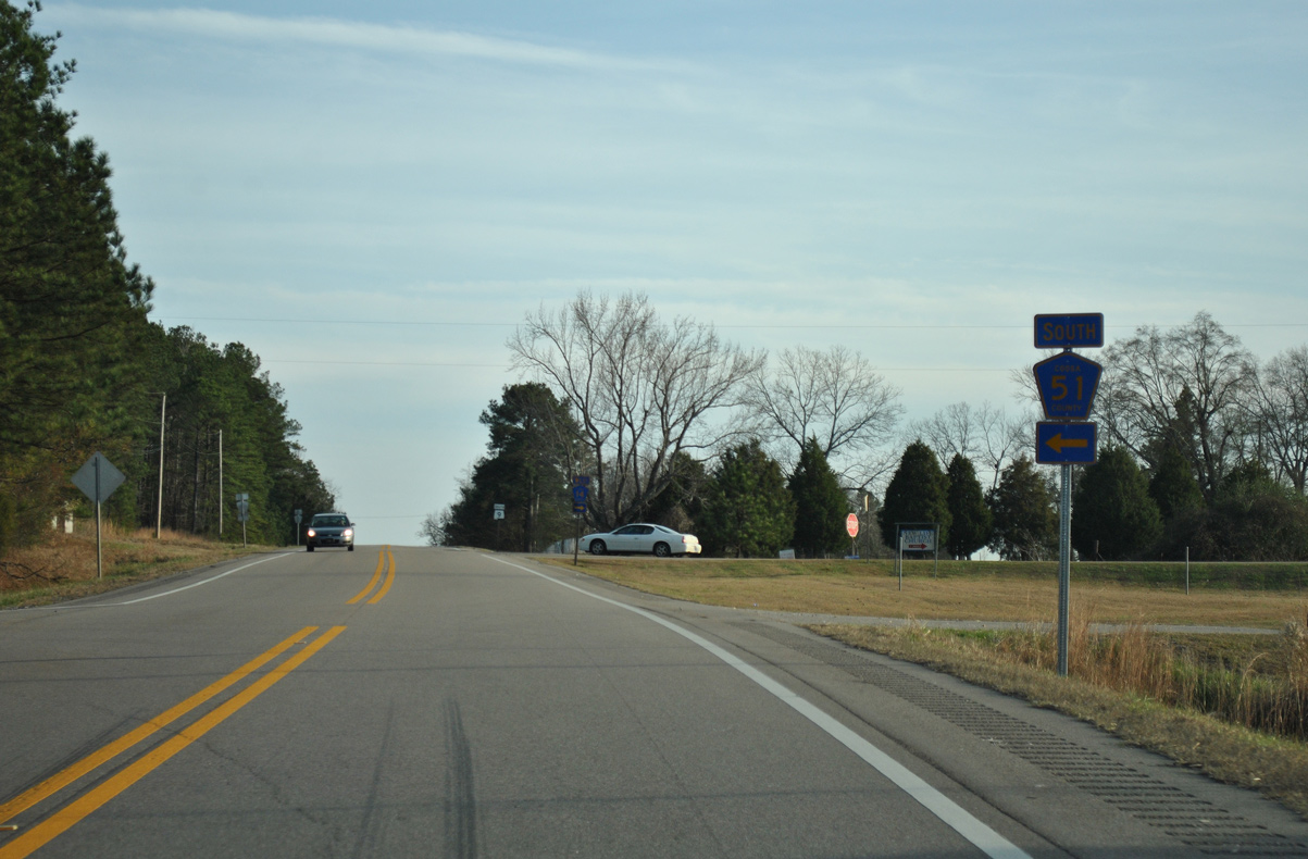
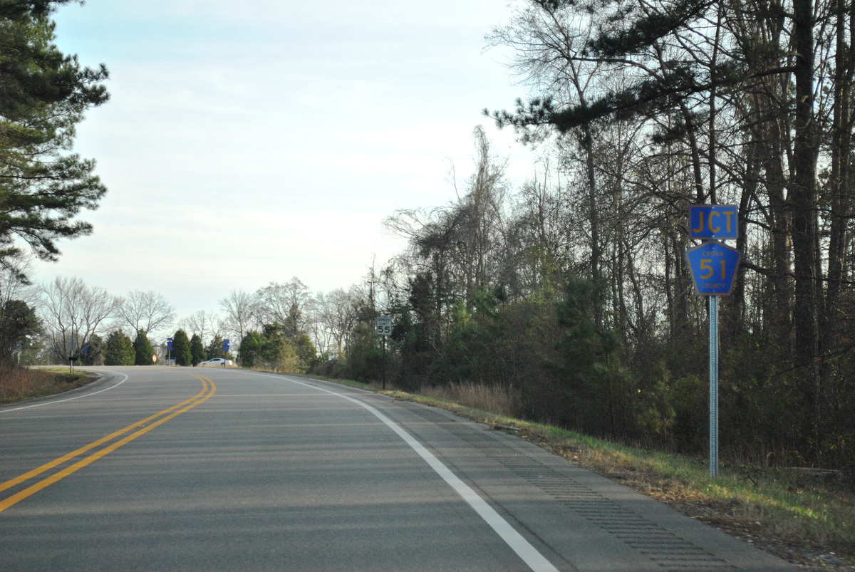
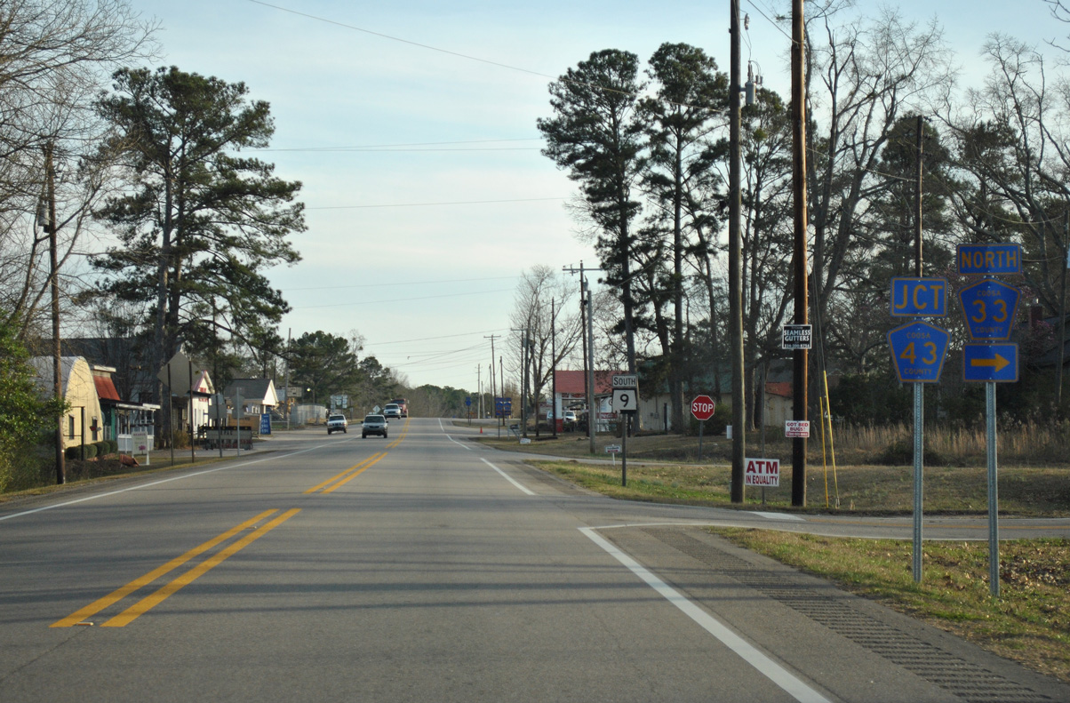
Comprising a two mile long rural loop to SR 259, CR 51 ties into SR 9 just north of CR 14.
01/21/13
01/21/13
01/21/13
01/21/13
01/21/13
01/21/13
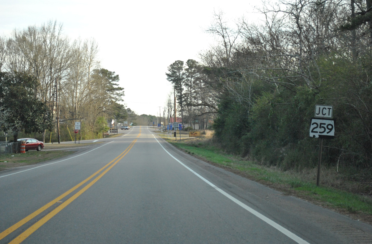
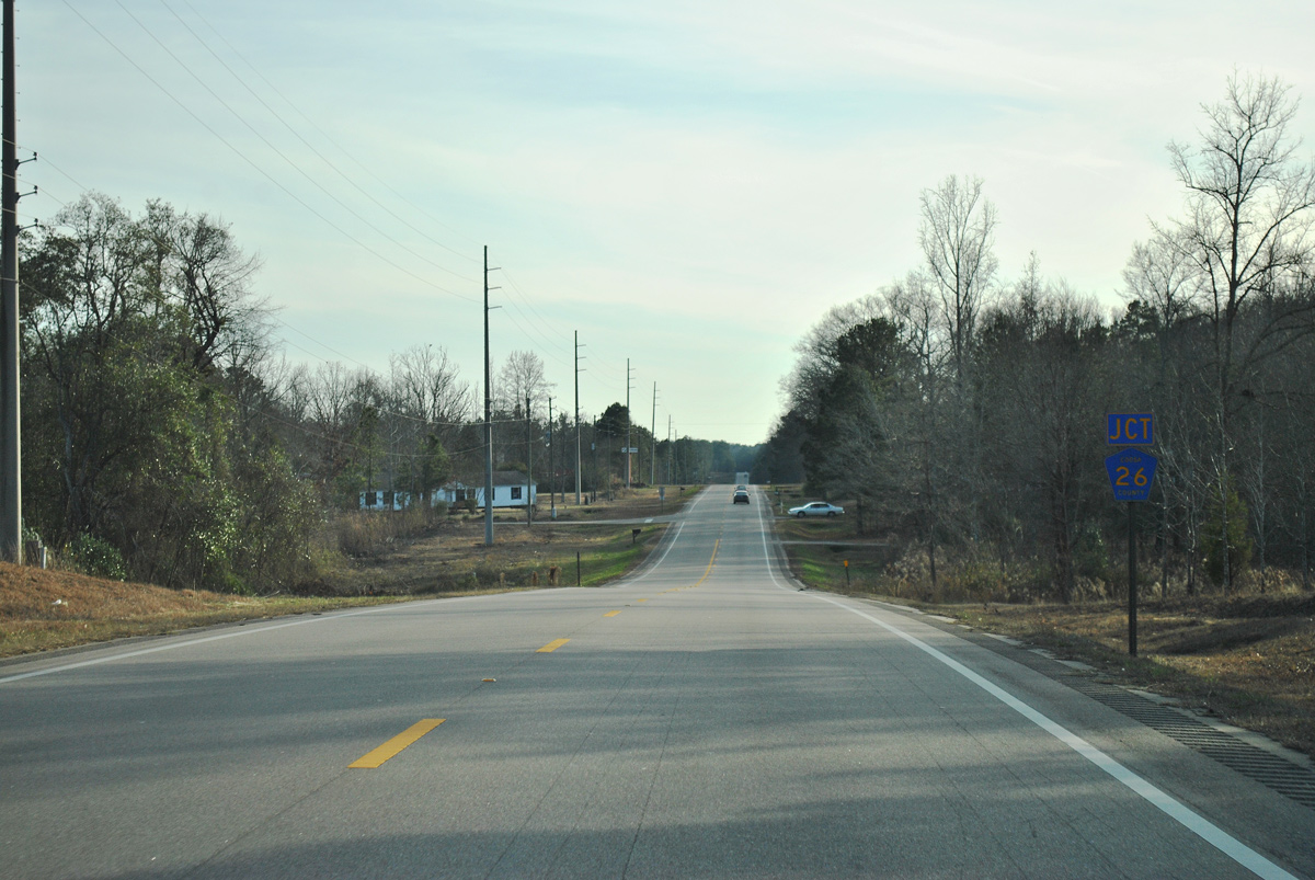
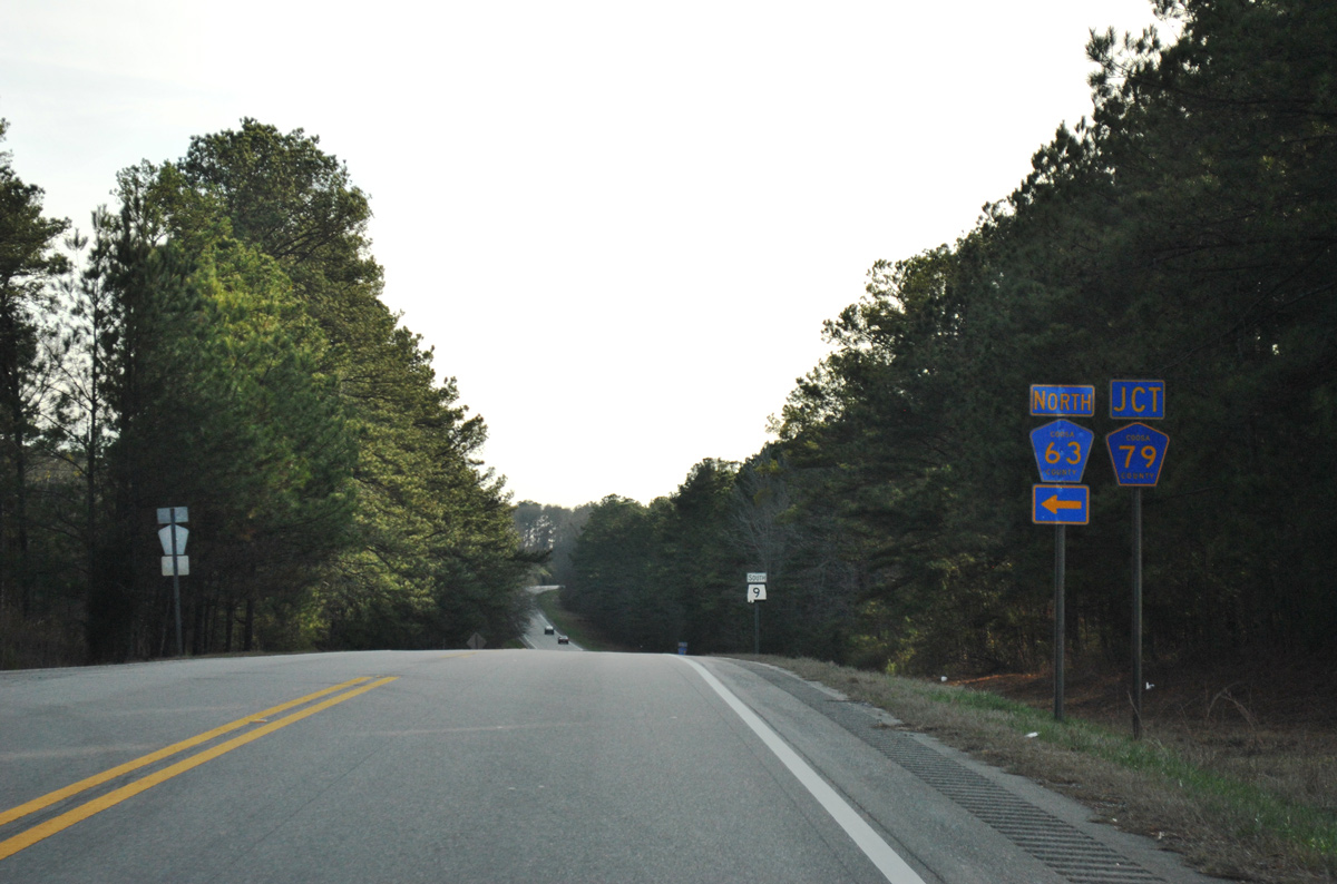
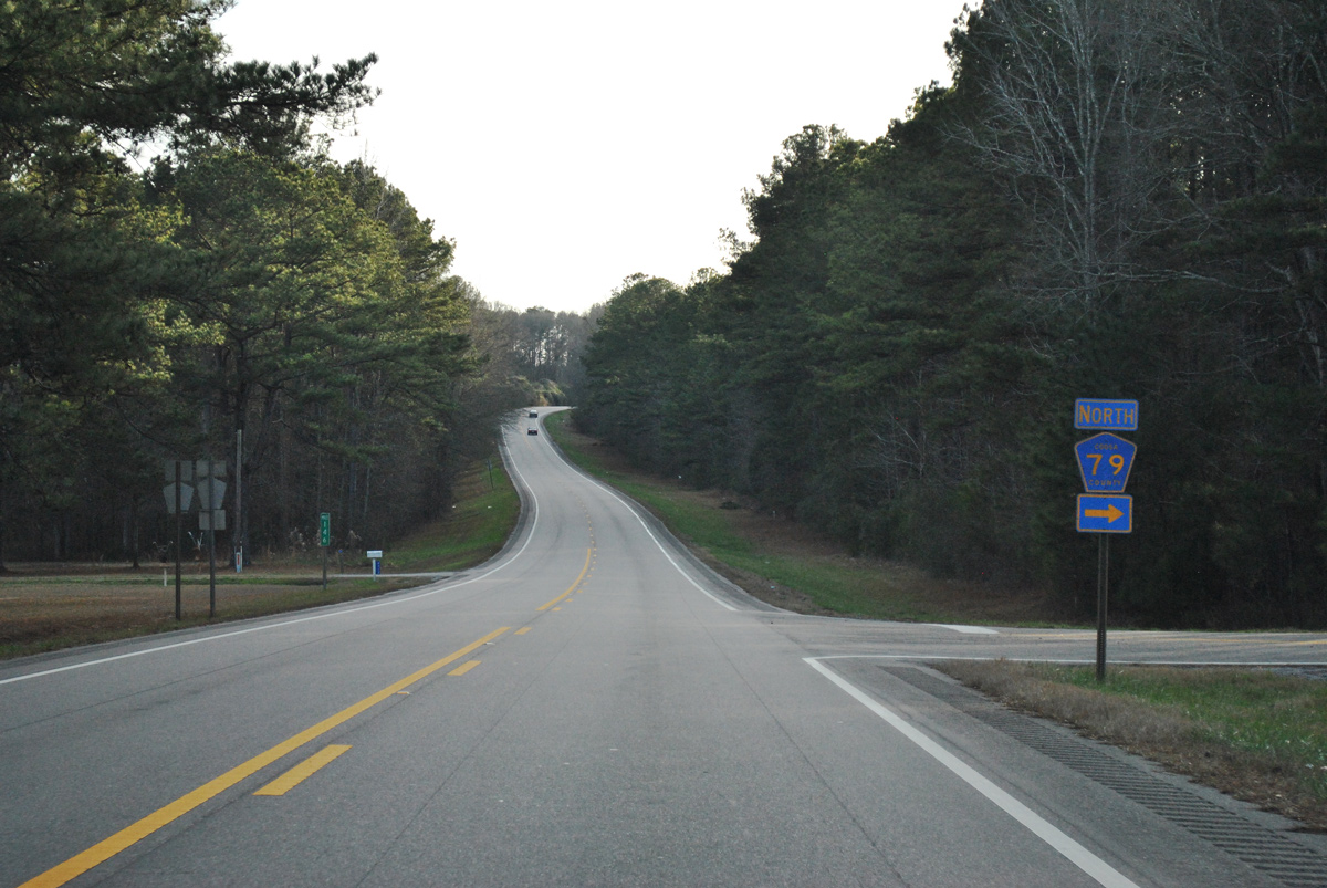
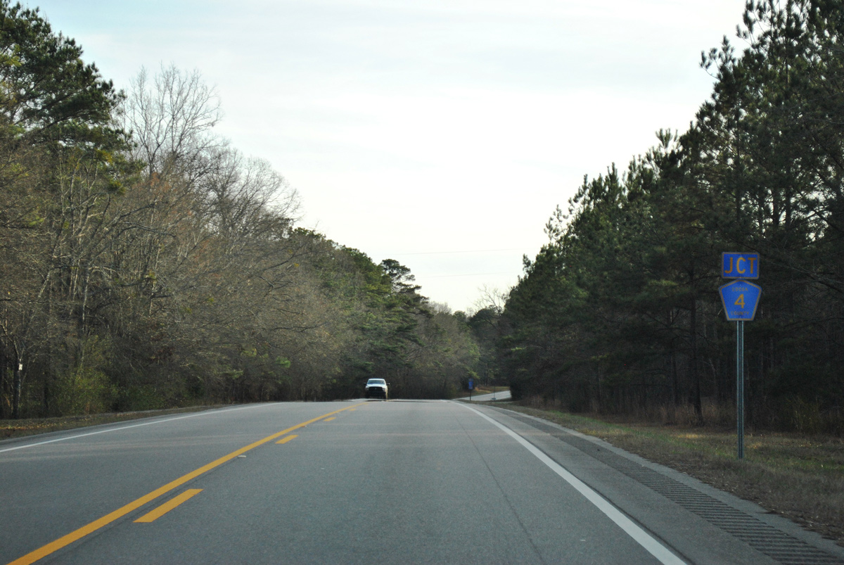
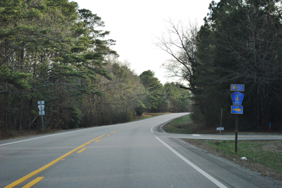
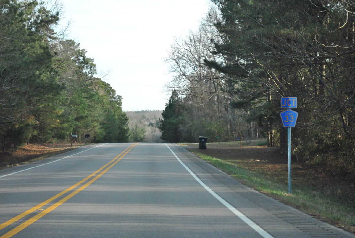
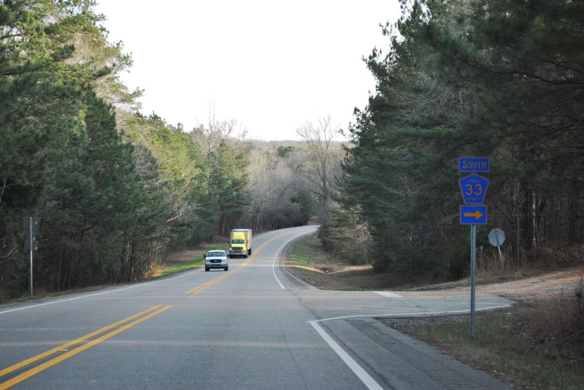
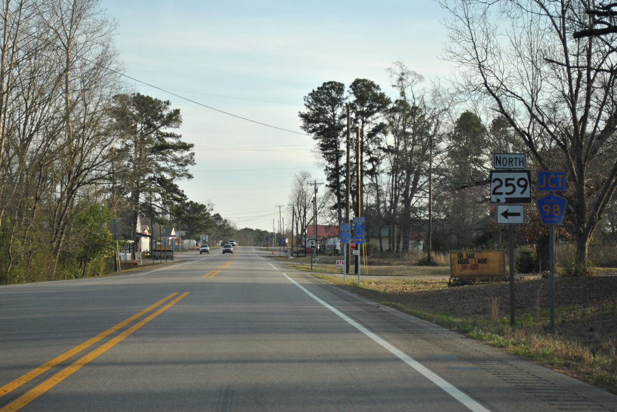
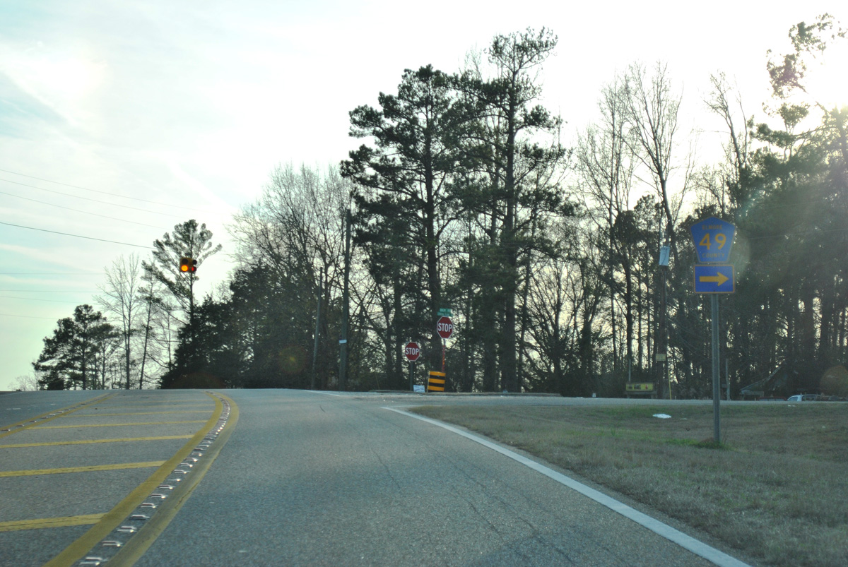
SR 259 branches 12.85 miles northeast from SR 9 at Equality to SR 22 in Alexander City.
01/21/13
01/21/13
01/21/13
01/21/13
01/21/13
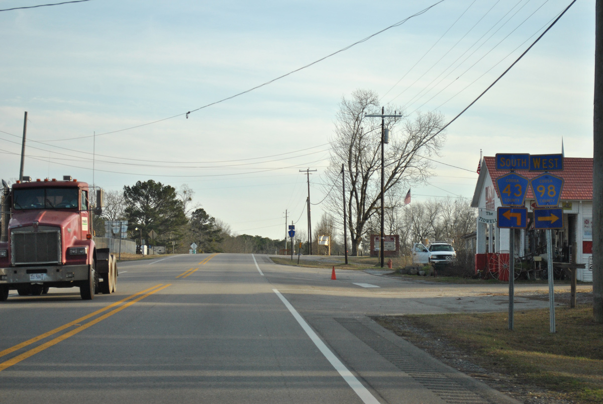
Less than a quarter mile in length, CR 43 follows Stowes Ferry Road southeast from SR 9 to CR 2 in Equality.
01/21/13
01/21/13
01/21/13
01/21/13

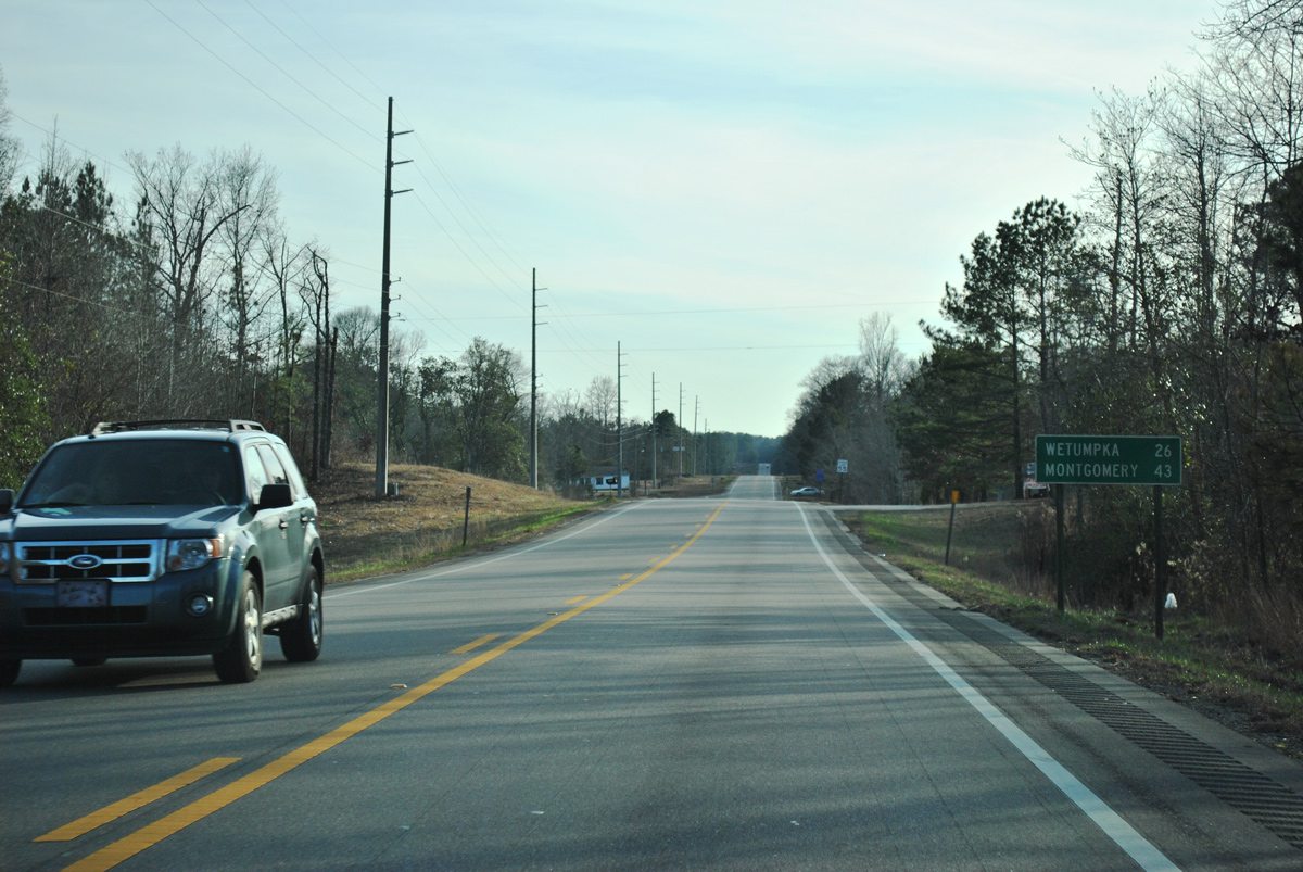
Continuing south into Elmore County, SR 9 reaches U.S. 231/SR 21 in 16.19 miles.
01/21/13
01/21/13
01/21/13
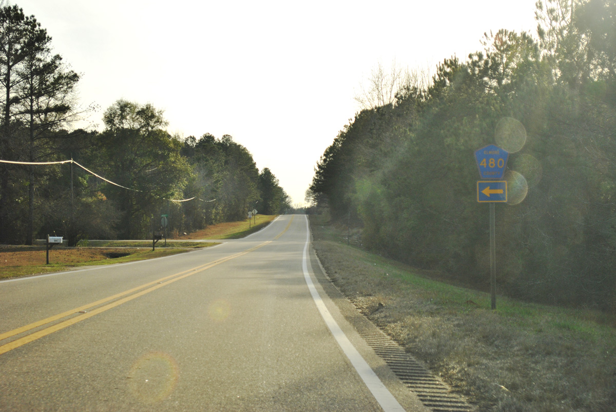
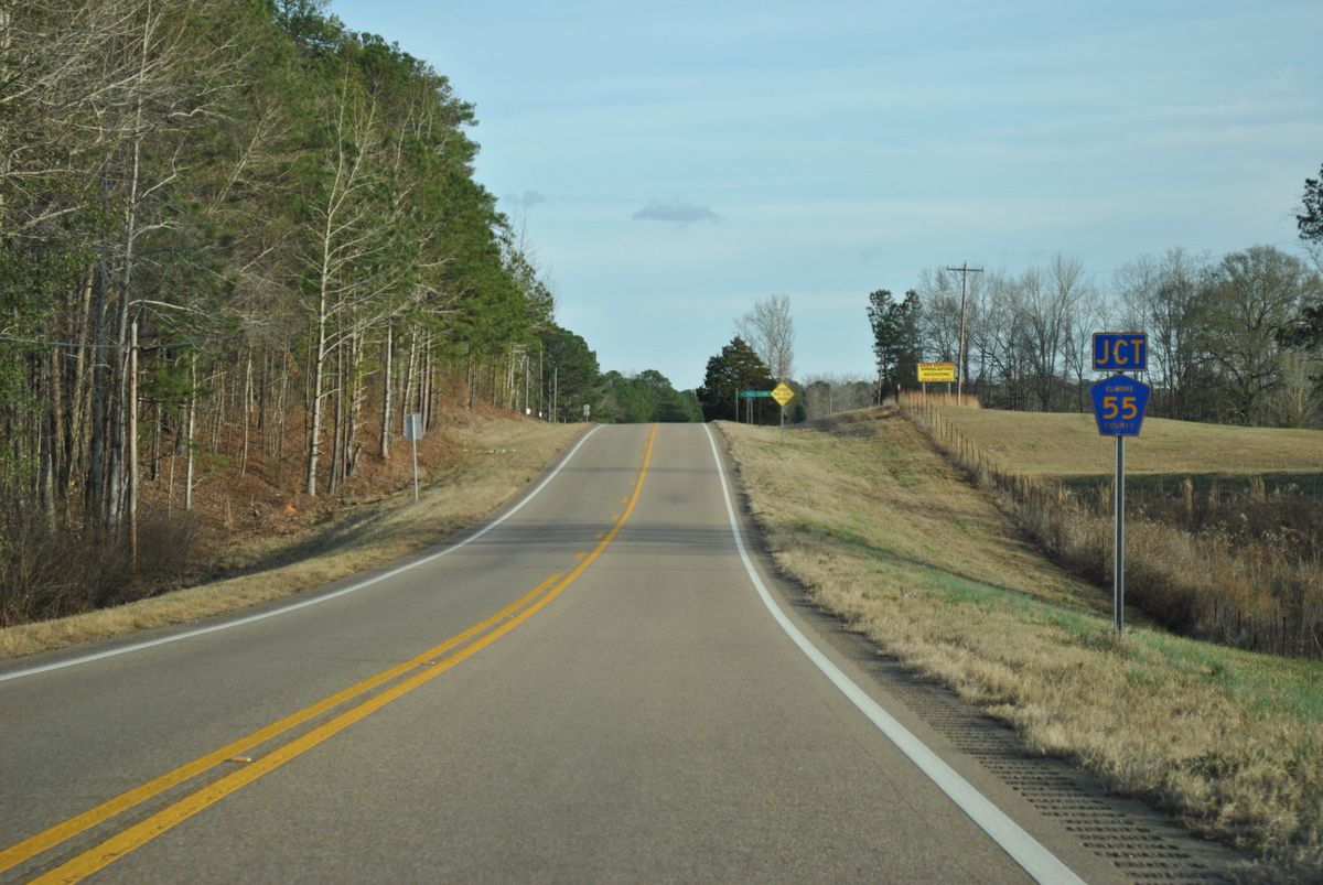
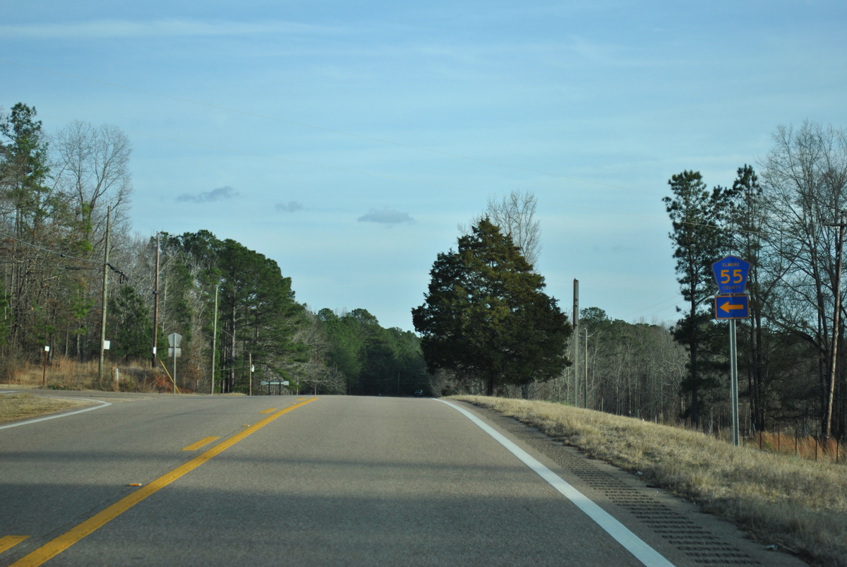
CR 480 (Lindsey Road) meanders 2.3 miles southeast to CR 55 (Little Steel Bridge Road) at Kid.
01/21/13
01/21/13
01/21/13
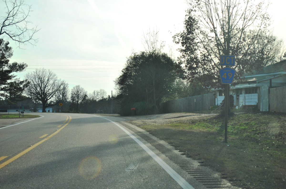
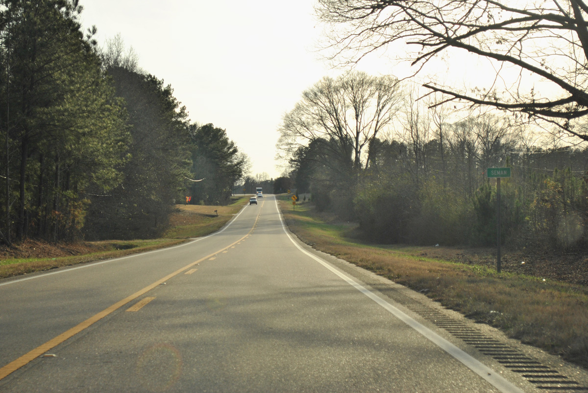
CR 49 branches southwest from SR 9 at Seman to Dexter.
01/21/13
01/21/13
Following Balm Road, CR 49 returns to SR 9 in 8.7 miles.
01/21/13
01/21/13
01/21/13
01/21/13
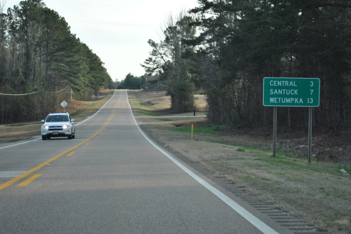
Continuing south from Seman, SR 9 reaches Central in three miles and Santuck in seven miles.
01/21/13
01/21/13
Little Steel Bridge Road (CR 55) arcs northeast 4.4 miles to Coosa County Route 2 beyond Lake Martin.
01/21/13
01/21/13
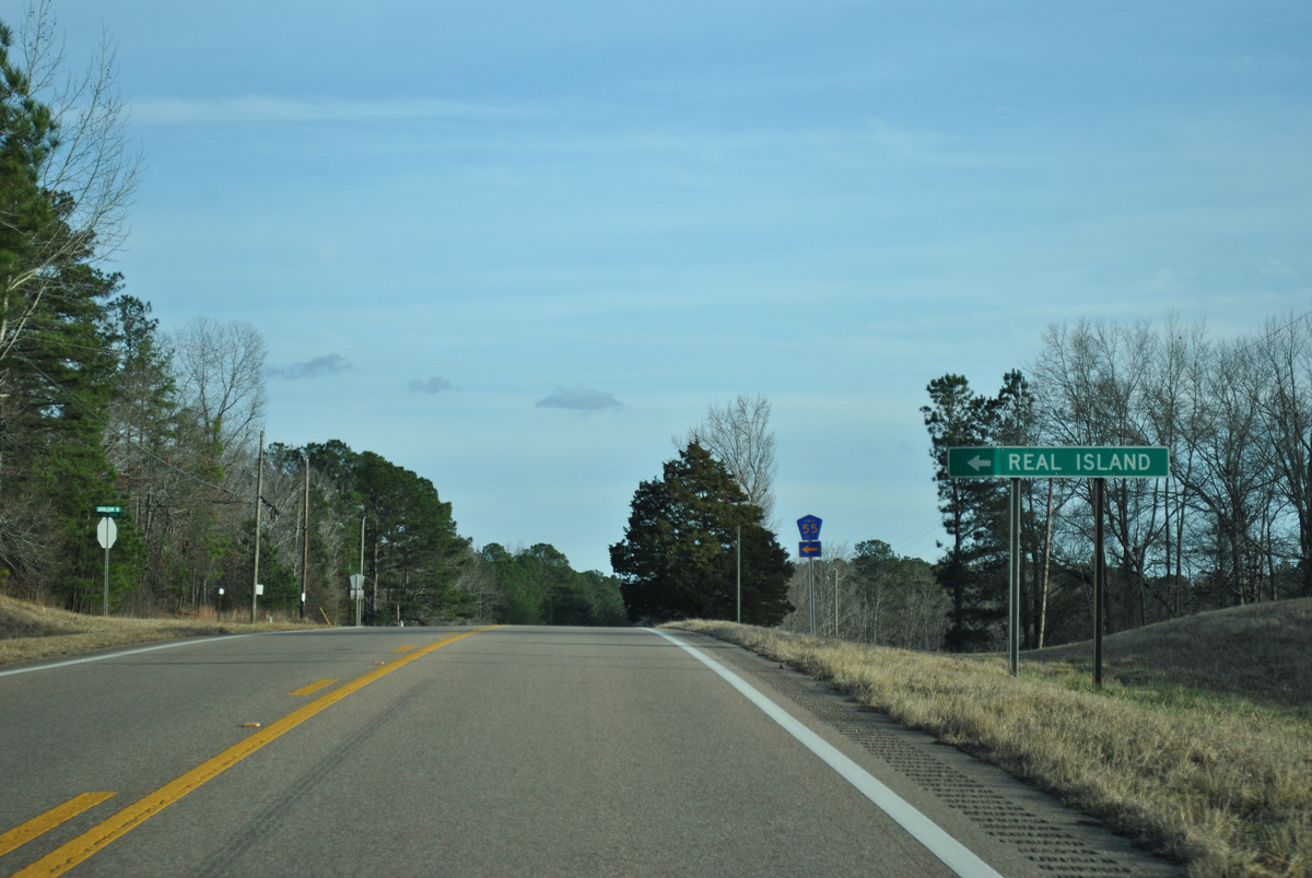
Real Island lies east of CR 55 along Lake Martin via Coosa County Route 2.
01/21/13
01/21/13
01/21/13
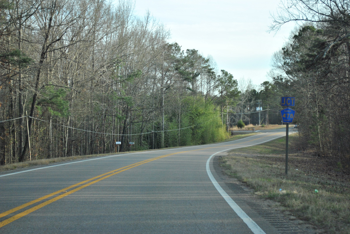
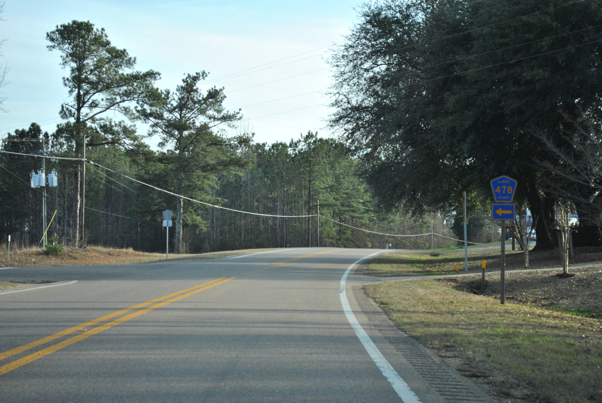
CR 478 (Boswell Road) loops 1.1 miles east from SR 9 (Central Plank Road) to CR 80 (Mt. Hebron Road) west of Falkner.
01/21/13
01/21/13
01/21/13
Entering the community of Central, SR 9 south next intersects CR 80 (Central Road west / Mt. Hebron Road east).
01/21/13
01/21/13
CR 80 leads west from Central to CR 49 (Balm Road) and east to Falkner and SR 63 at Jordan.
01/21/13
01/21/13
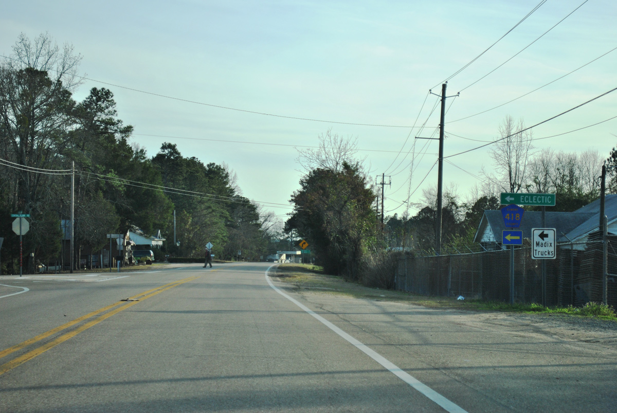
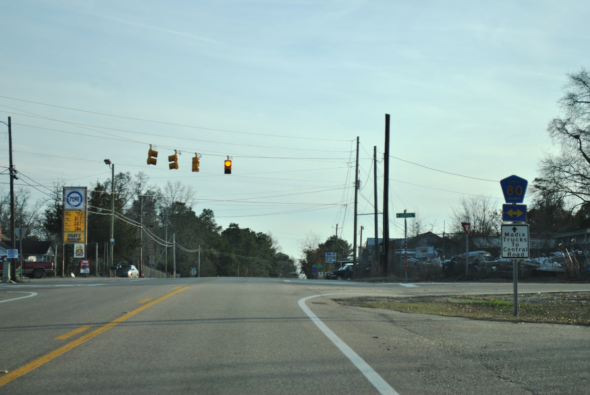
CR 418 (Central Road) connects SR 9 and Central with SR 63 (Kowaliga Road) and the town of Eclectic.
01/21/13
01/21/13
01/21/13
01/21/13
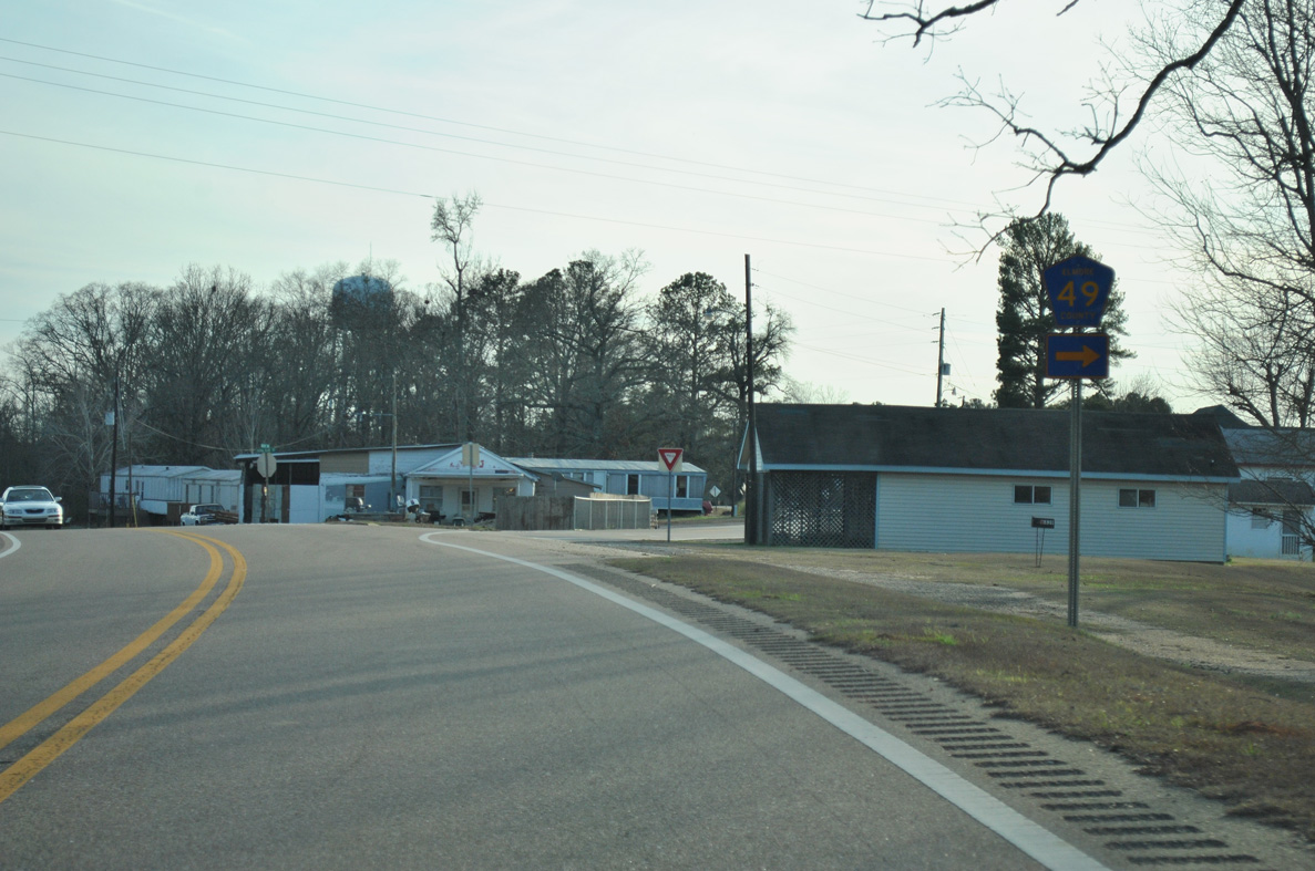
CR 49 (Balm Road) converges with SR 9 (Central Plank Road) 1.6 miles south from the community of Dexter.
01/21/13
01/21/13
01/21/13
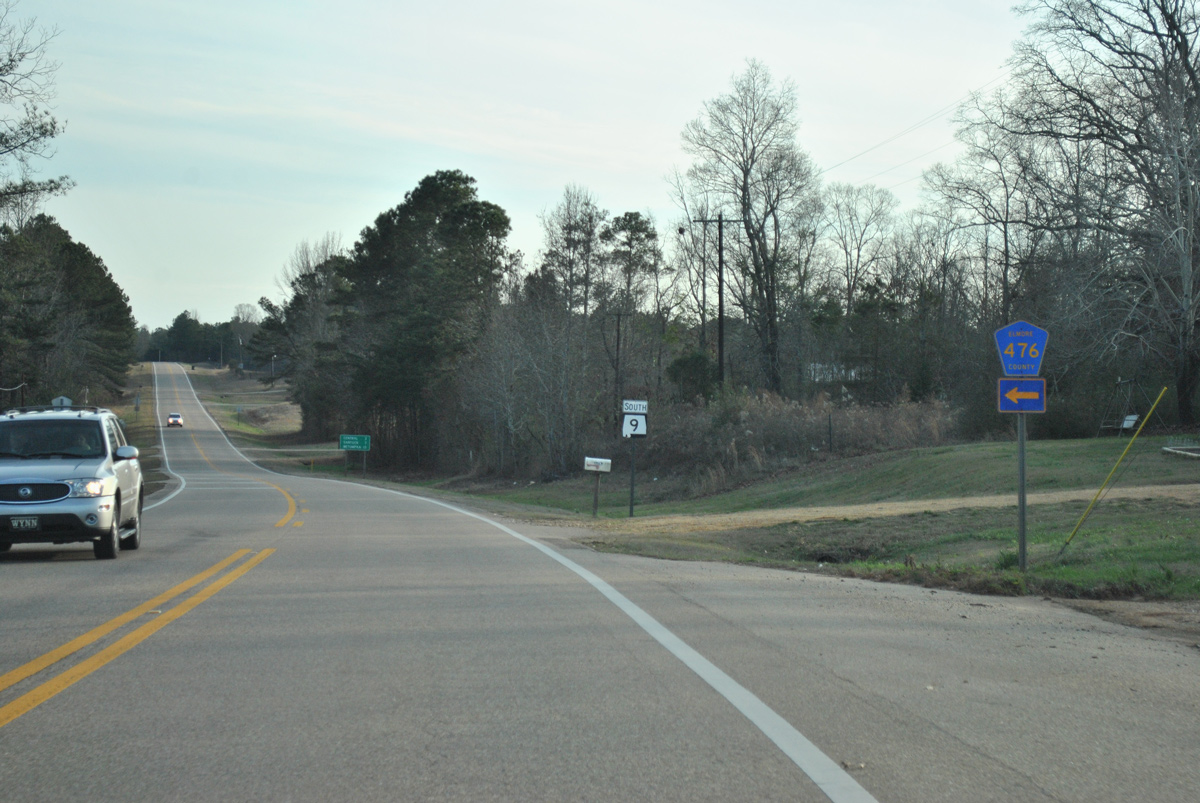
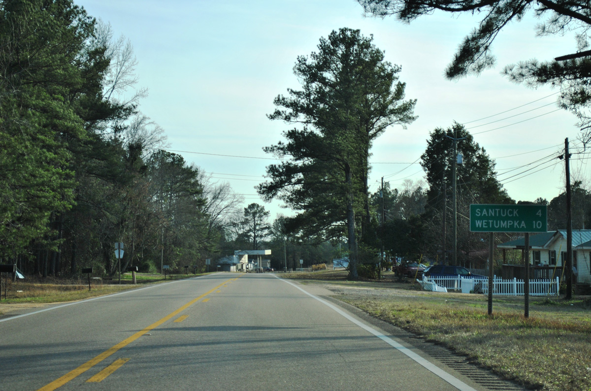
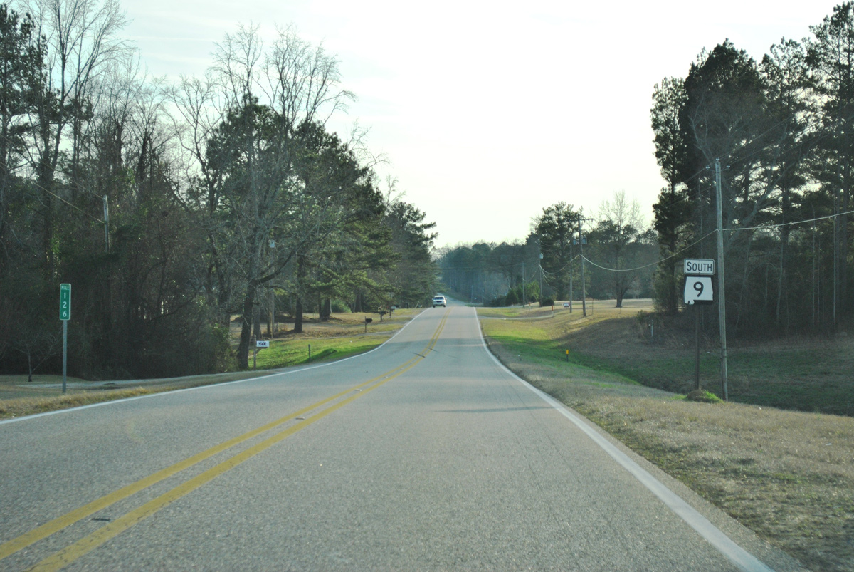
SR 9 advances 6.46 miles southwest from Santuck to U.S. 231/SR 21 in the city of Wetumpka.
01/21/13
01/21/13
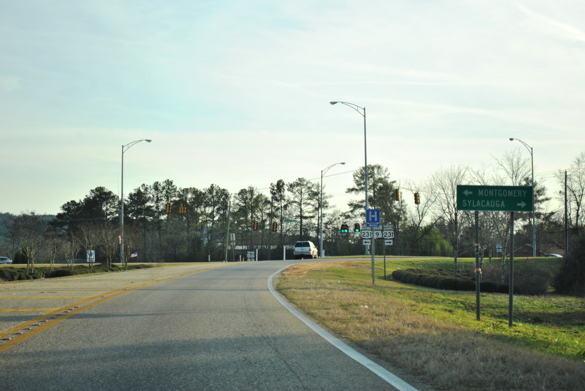
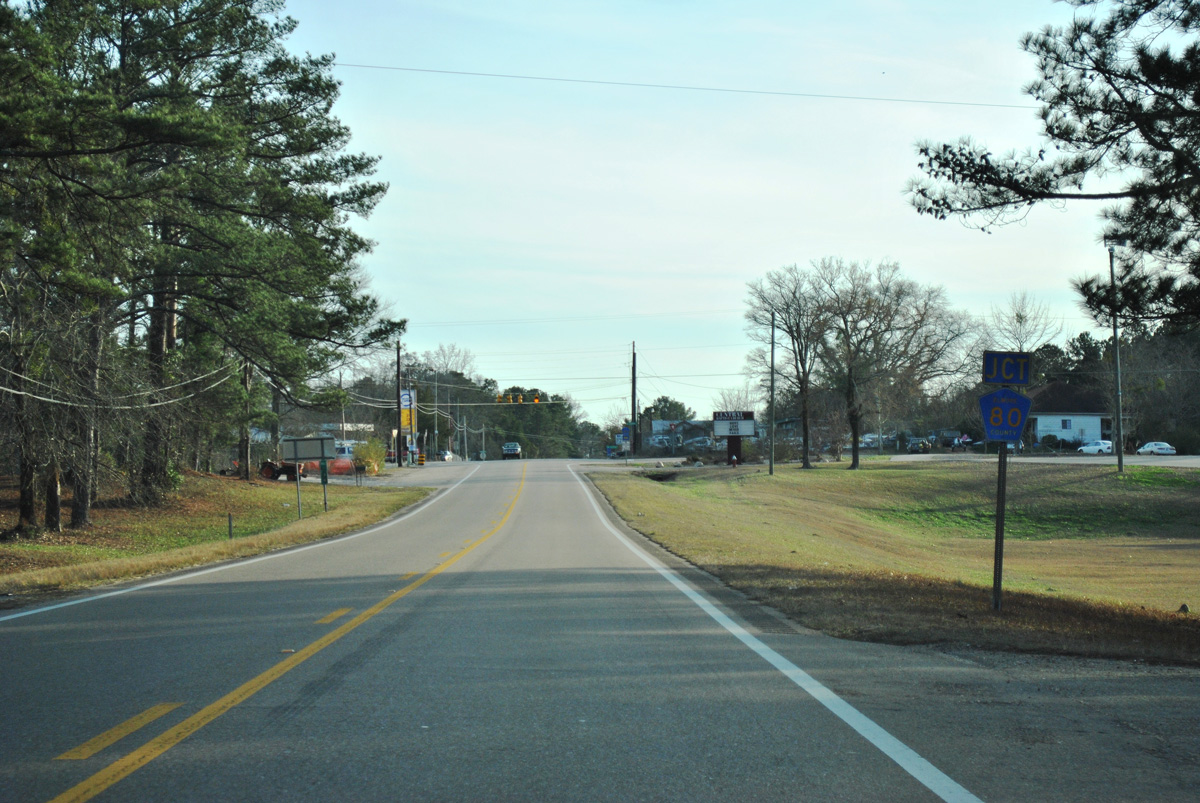
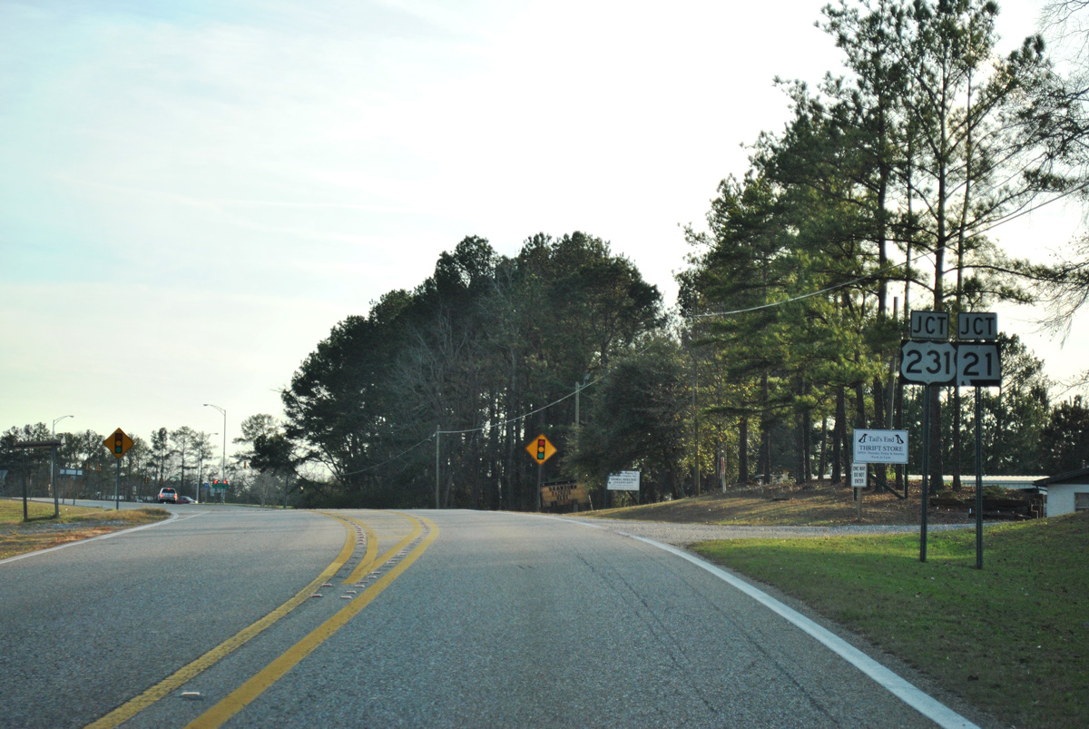
U.S. 231/SR 21 overlap north to U.S. 280 in Sylacauga and south to Eastern Boulevard in Montgomery.
01/21/13
01/21/13
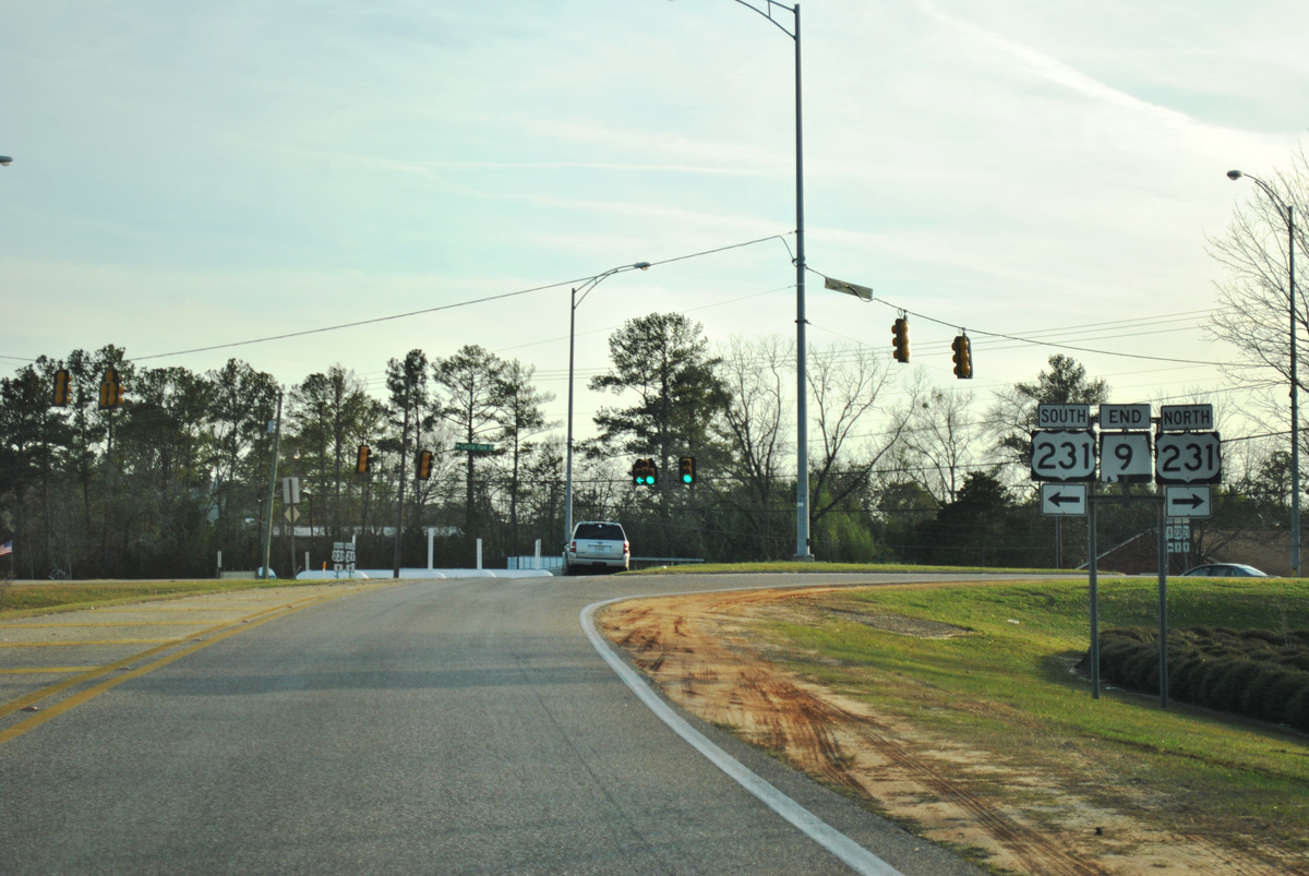
The signed portion of State Route 9 concludes at U.S. 231/SR 21 in Wetumpka. The route however extends another 139.67 miles south as a hidden route with U.S. 231 to Montgomery and U.S. 331 from Montgomery to Florala.
01/21/13
01/21/13
Photo Credits:
- ABRoads: 01/21/13
Connect with:
Page Updated Wednesday August 24, 2022.