
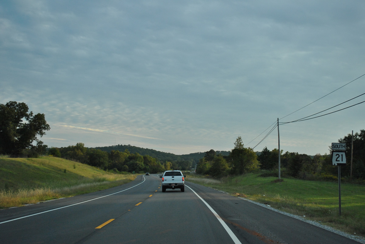
State Route 21 South
 South
South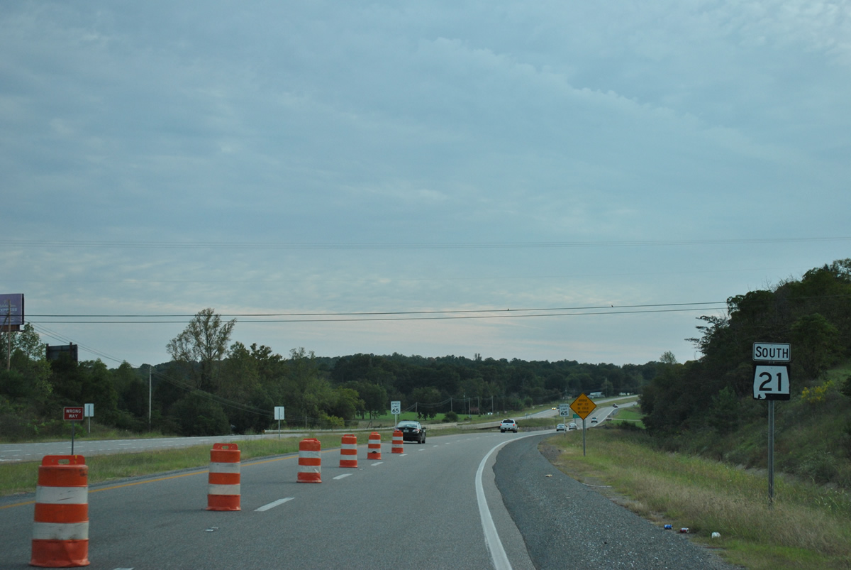
SR 21 overtakes the four lane divided highway from SR 275 (Talladega west bypass) at Bemiston in southwest Talladega.
10/07/12
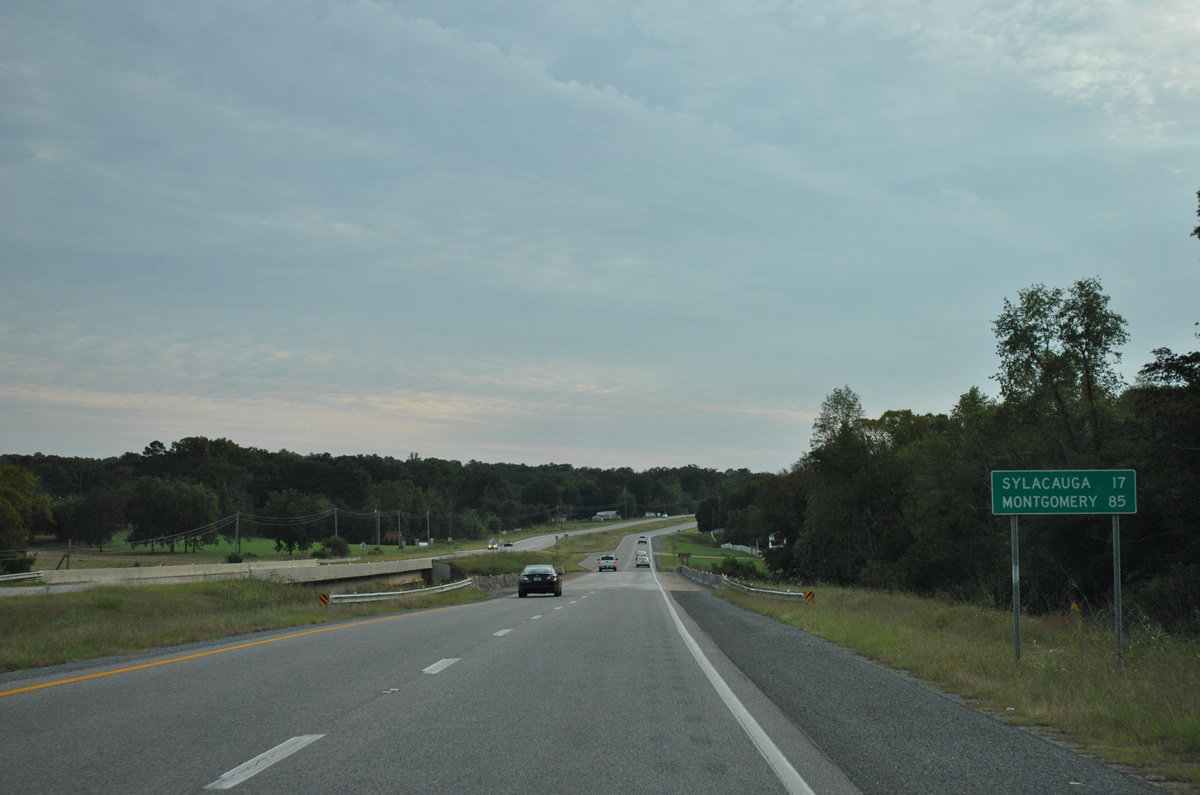
SR 21 exits the Talladega city limits at Talladega Creek on the 17 mile drive to Sylacauga. The state route, in conjunction with U.S. 231, connects the Talladega County seat with the capital city in 85 miles.
10/07/12
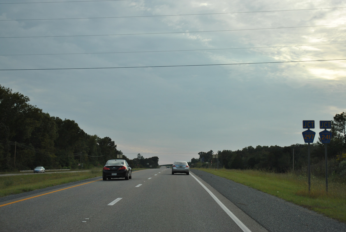
Talladega County 241 (Mardisville Road) and Talladega County 297 (Landmark Road) north meet SR 21 adjacent to one another at a pair of rural intersections.
10/07/12
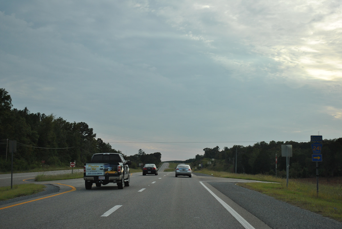
County Road 241 (Mardisville Road) consists of a 3.5 mile unpaved road looping west from SR 21 through forest land to County Road 240 (Grist Mill Road).
10/07/12
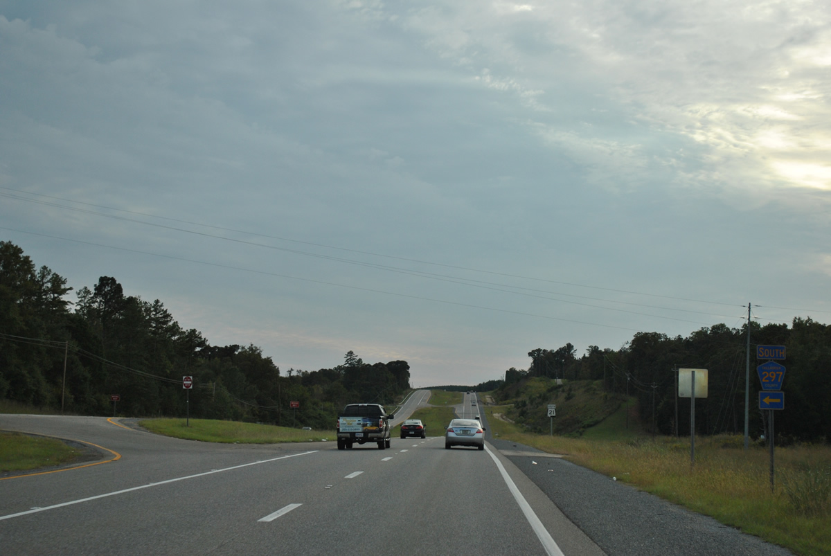
Landmark Road comprises an easterly loop serving a handful of residences, two miles from SR 21 to County Road 238 (Willing Road).
10/07/12
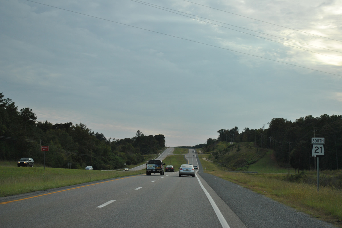
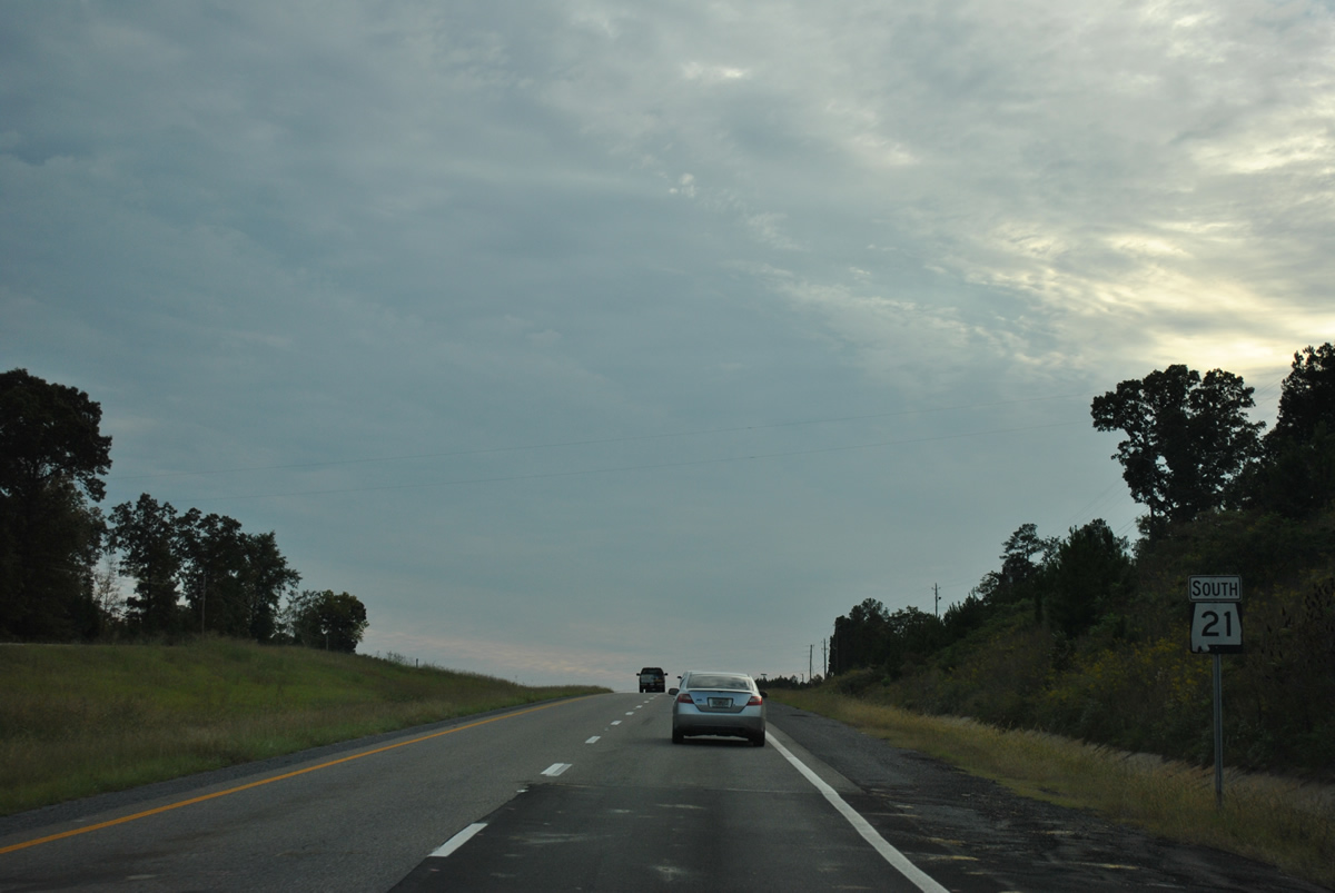
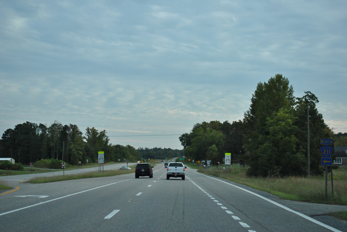
SR 21 continues as a four lane divided highway with a 65 mile per hour speed limit.
10/07/12
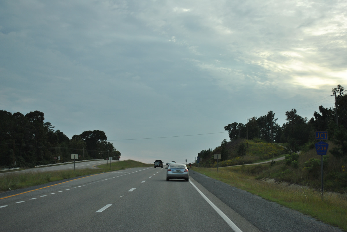
Southbound traffic quickly approaches the north end of Talladega County 238 (Whiting Road).
10/07/12
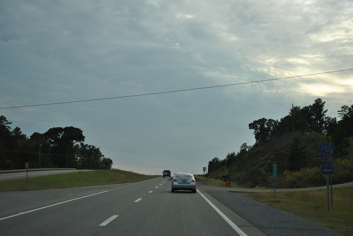
County Road 238 veers south from SR 21 to County Road 211 west of Rendalia and east of Winterboro.
10/07/12
Reassurance shield for SR 21 south posted on a hill beyond the split with CR-238.
10/07/12
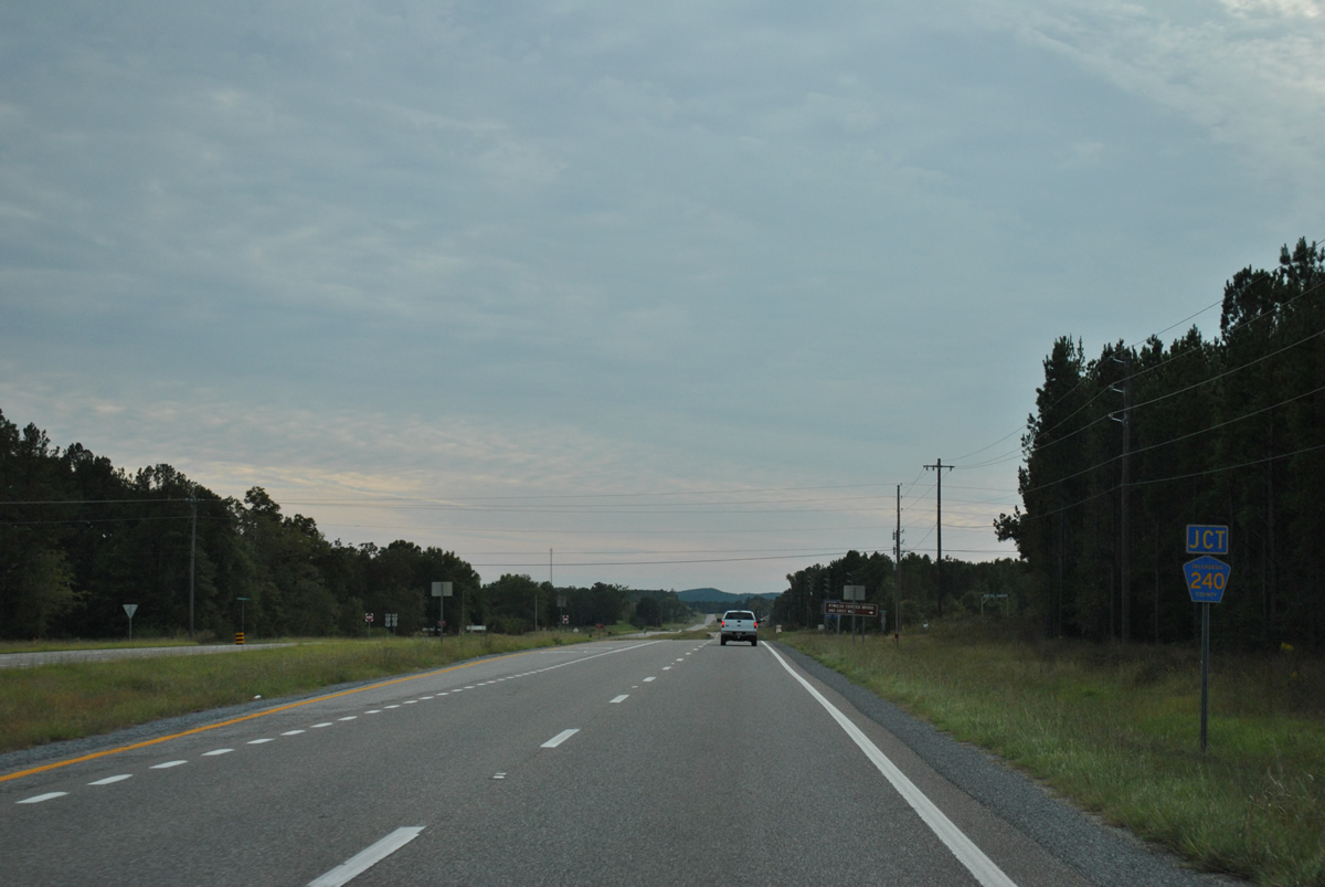
Talladega County 240 travels west from a forested area beyond parallel CR-238 to meet SR 21 via Orangevale Road.
10/07/12
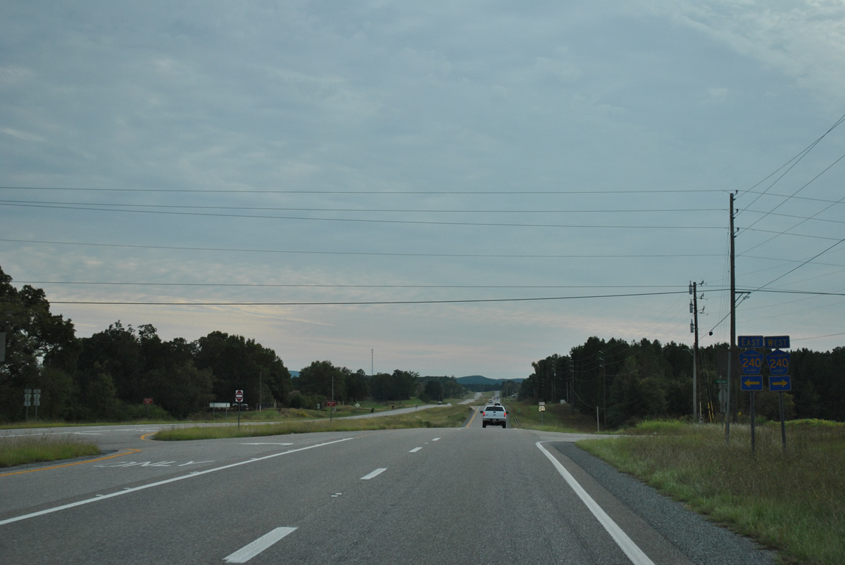
West from SR 21, Talladega County 240 follows Grist Mill Road to Alpine, Kymulga and Childersburg. Kymulga Covered Bridge and Kymulga Park & Grist Mill lie 7.2 miles west along the county highway.
10/07/12
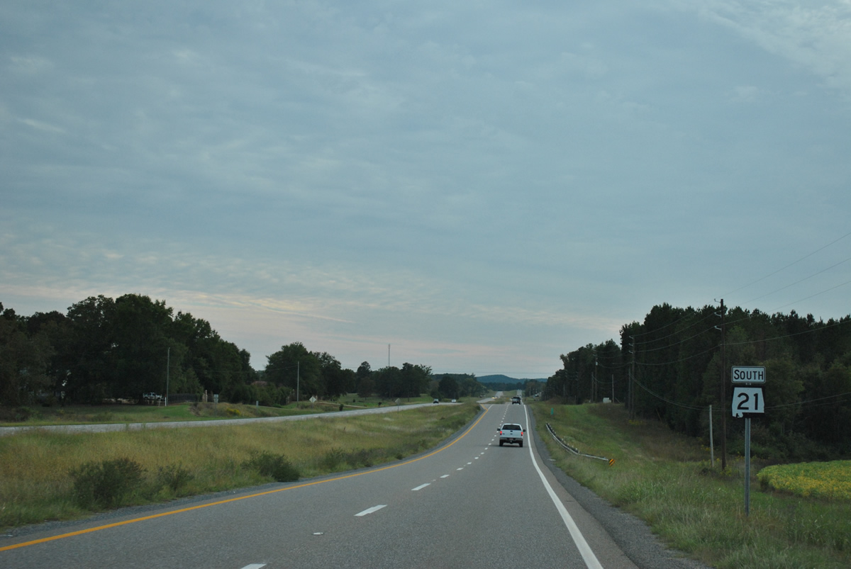
County road junctions along SR 21 are well signed in Talladega County.
10/07/12
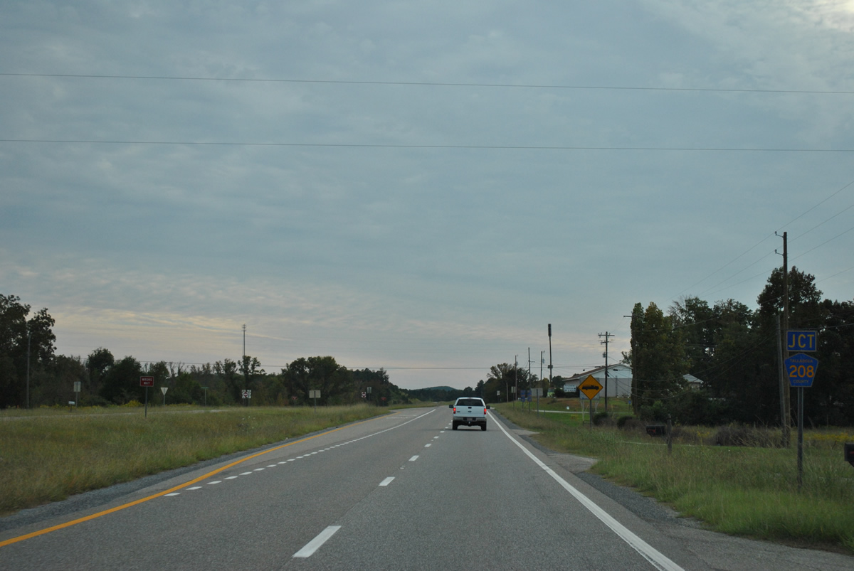
Bullocks Ferry Road doubles as County Road 208 across SR 21 at the next intersection.
10/07/12
Talladega County 208 ends at County Road 238, 1.3 miles to the east and at SR 76, 4.4 miles to the west.
10/07/12
SR 21 shield posted after County Road 208 (Bullocks Ferry Road).
10/07/12
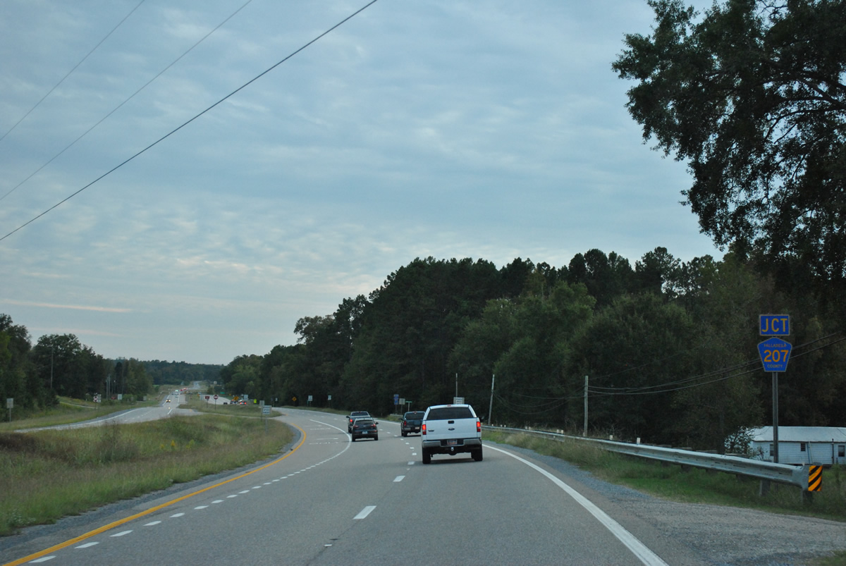
Nearing the community of Winterboro, SR 21 meets the south end of Talladega County 207.
10/07/12
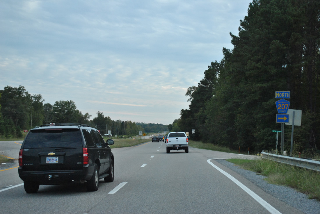
Talladega County 207 (Alpine Winterboro Road) comprises a lengthy route north from SR 21 to Alpine, Plantersville, Ledbetter, Hepzibah, Stemley, and Lincoln. The county highway meets Interstate 20 at Exit 165.
10/07/12
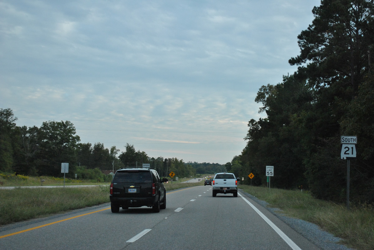
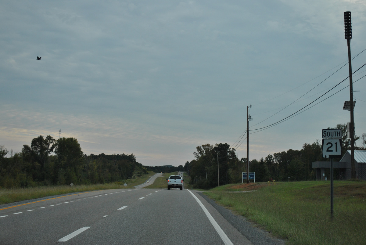
Speed limits drop to 55 miles per hour as SR 21 reaches Winterboro.
10/07/12
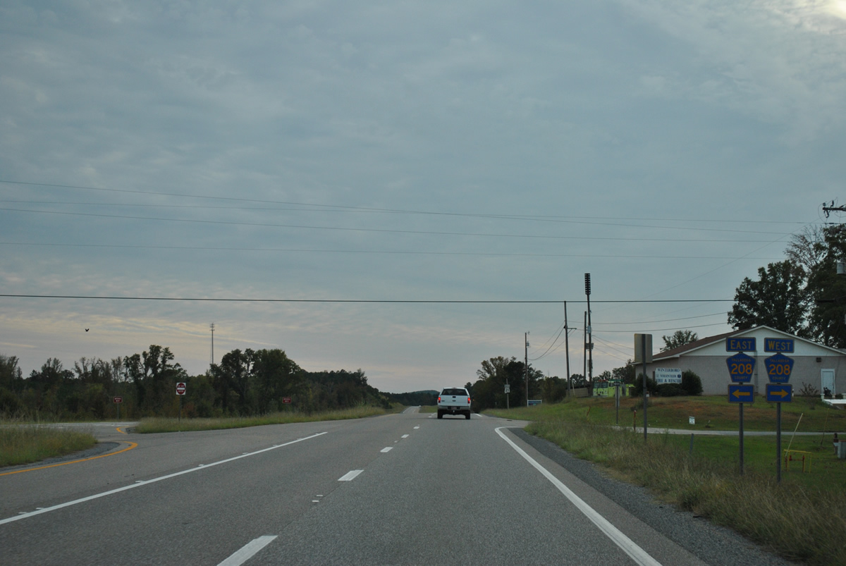
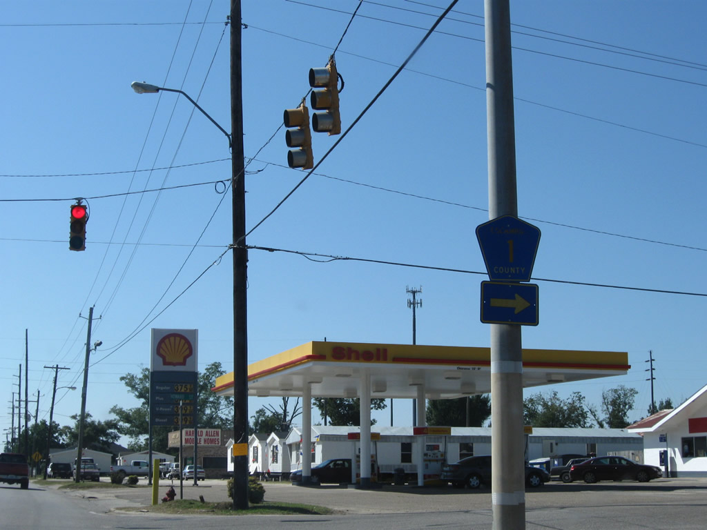
SR 76 (Desoto Caverns Highway) enters Winterboro from a ten mile drive east from U.S. 231 at Childersburg.
10/07/12
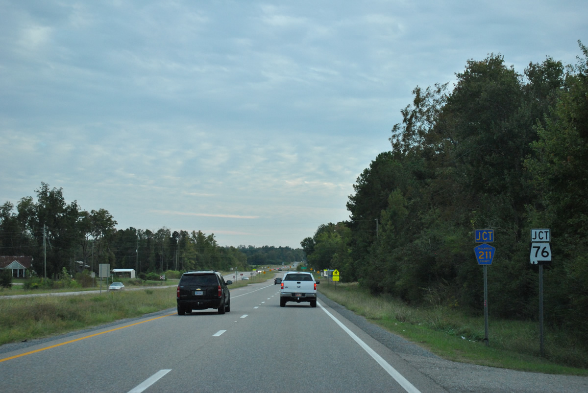
County Road 211 (Chastain Road) ties into SR 21 south just ahead of the east end of SR 76.
10/07/12

A 16.64 mile route, SR 76 leads west from Winterboro to Childersburg and northwest from there along U.S. 231 to Erratta. Beyond Erratta, SR-76 continues west to an end at Klein and SR 25.
10/07/12
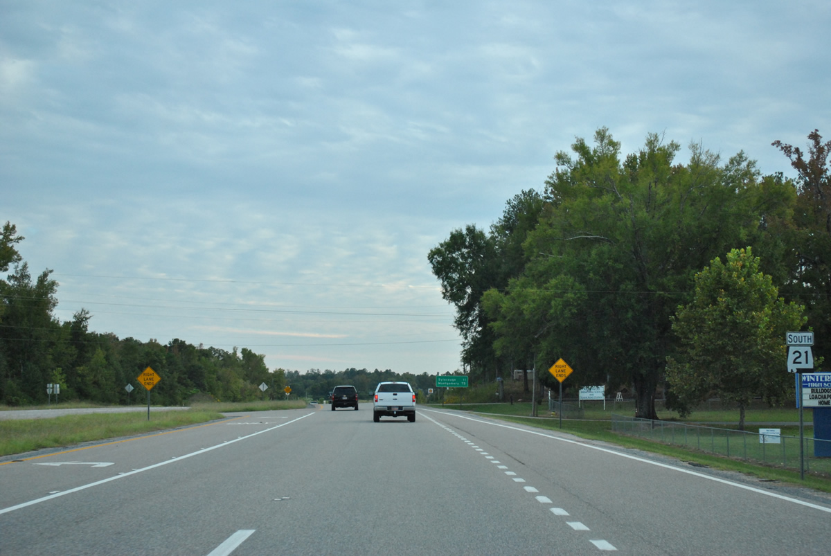
SR 21 reduces from a four lane divided highway to a two lane roadway south of SR 76.
10/07/12

Sylacauga is 11 miles south of Winterboro. Montgomery is now 75 miles away via U.S. 231.
10/07/12
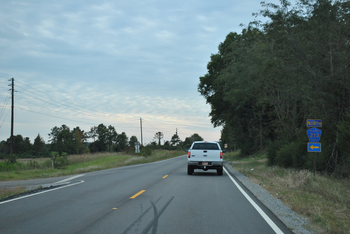
Talladega County 213 (Ledbetter Flat Road) angles southwest from the confluence of CR-211 and CR-238 to end at SR 21, west of Ledbetters and Talladega National Forest.
10/07/12
SR 21 proceeds southwest from CR-213 to line the west side of the National Forest.
10/07/12
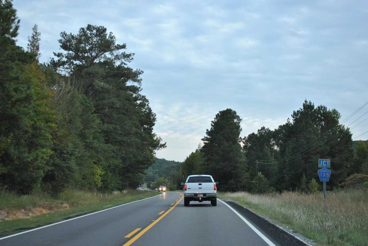
Talladega County 175 (Oakdale Road) east concludes at SR 21 ahead.
10/07/12
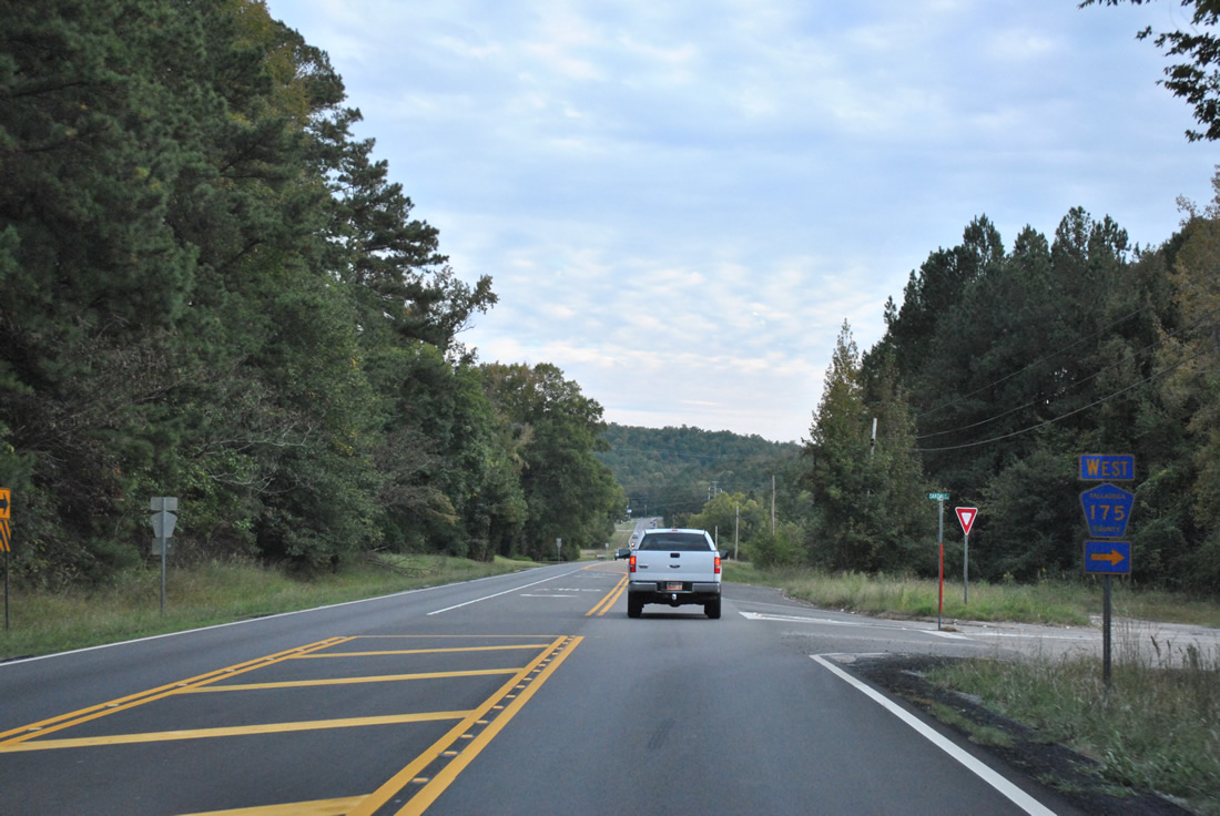
Oakdale Road arcs northwest 5.7 miles as CR-175 to SR 76. Kymulga Road continues the county highway north from there to CR-240 at Kymulga.
10/07/12

Motorists along SR 21 southbound reach northern reaches of the Sylacauga city limits at County Road 204 (Arco Dairy Road).
10/07/12
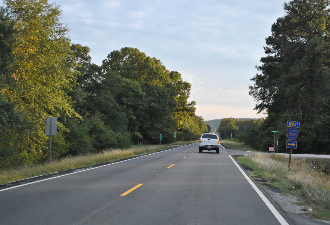
Talladega County 204 (Arco Dairy Road) winds west 1.3 miles to County Road 139 (Tallasahatchee Road).
10/07/12
SR 21 kinks eastward as part of a 1997-realignment and bridge replacement project over Tallasseehatchee Creek. The state route formally enters Sylacauga beyond the crossing.
10/07/12
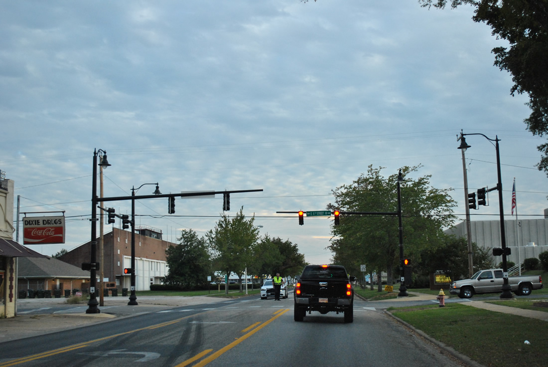
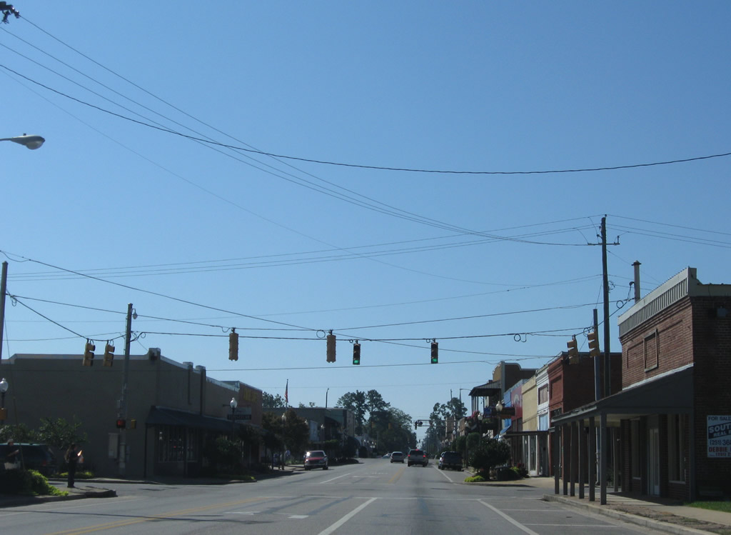
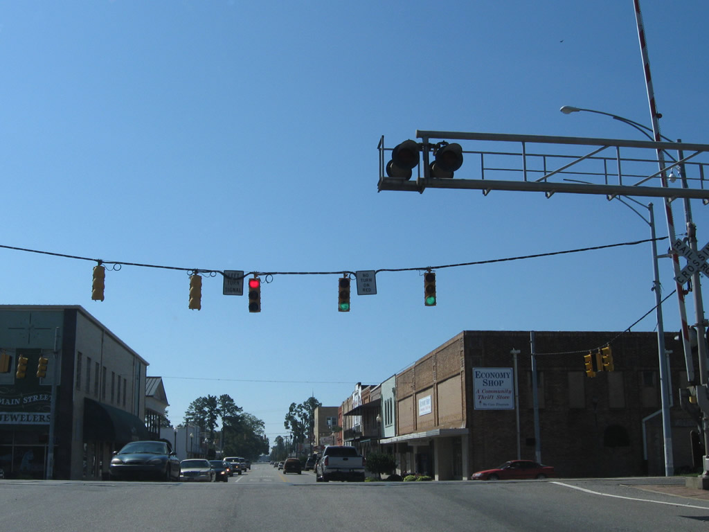
Following Broadway Avenue, SR 21 turns due south through Sylacauga ahead of 8th Street, the first in a series of traffic lights toward downtown. Local police were directing traffic this day in an effort to funnel race traffic from Talladega Superspeedway town.
10/07/12
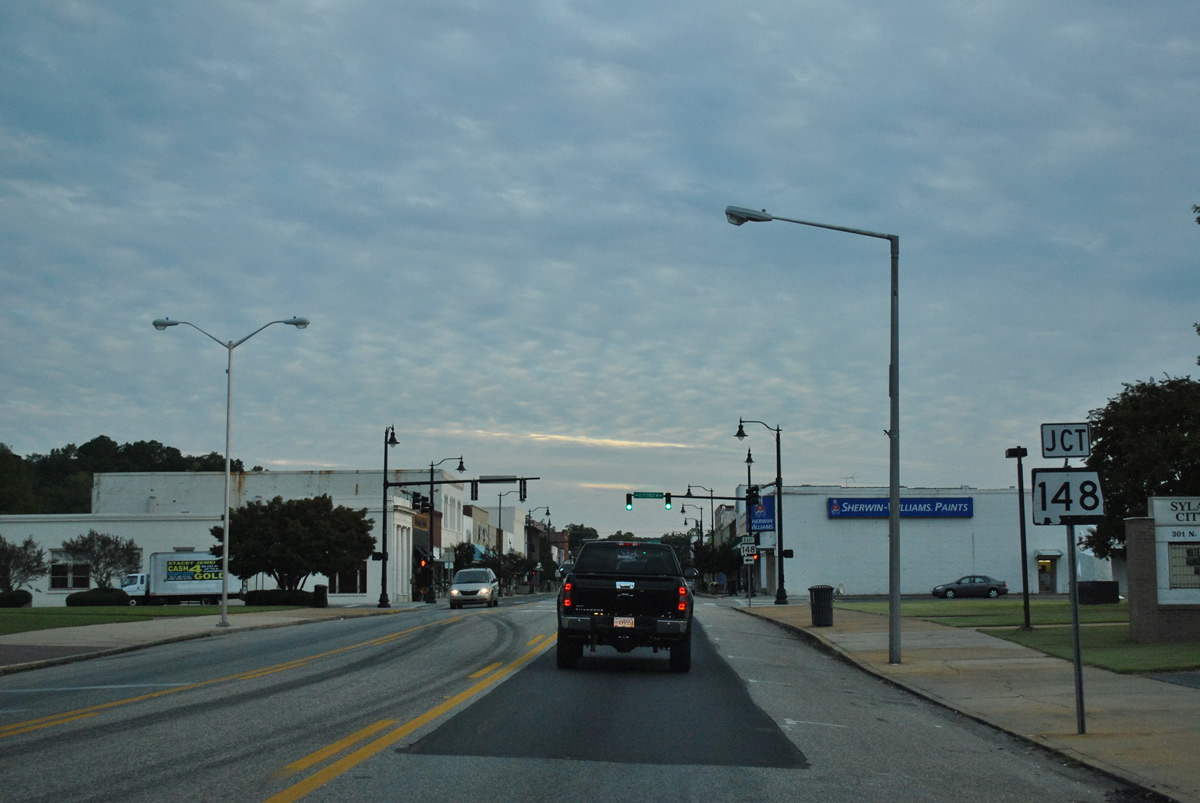
Approaching SR 148, a 15.22 mile route between Sylacauga and Millerville, along SR 21 (Broadway Avenue) south.
10/07/12
SR 148 follows 3rd Street east from downtown Sylacauga to Millerville Highway through Talladega National Forest. The state route concludes at SR 9 in Clay County.
10/07/12
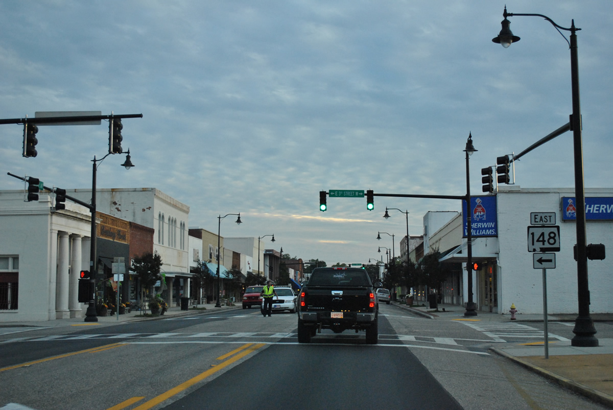
A reassurance shield for SR 21 (Broadway Avenue) follows SR 148 (3rd Street).
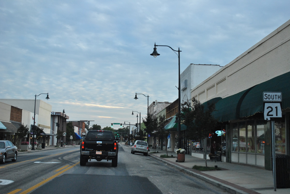
10/07/12
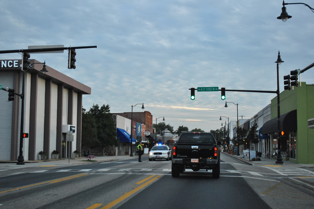
Entering the heart of the Sylacauga business district along SR 21 (Broadway Avenue) south at 2nd Street. The north-south route separates east and west addresses through the city.
10/07/12
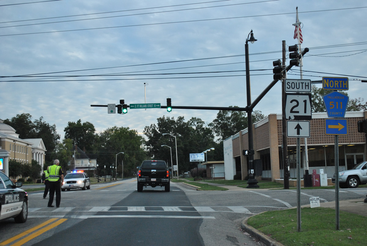
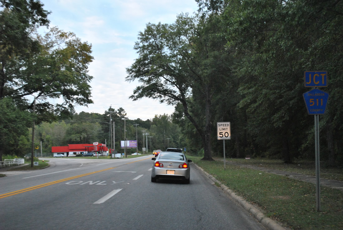
West Fort Williams doubles as Talladega County 511 west from SR 21 (Broadway Avenue) to Old Birmingham Highway. This routing constitutes the original alignment of U.S. 280 between Sylacauga and Oak Grove.
10/07/12
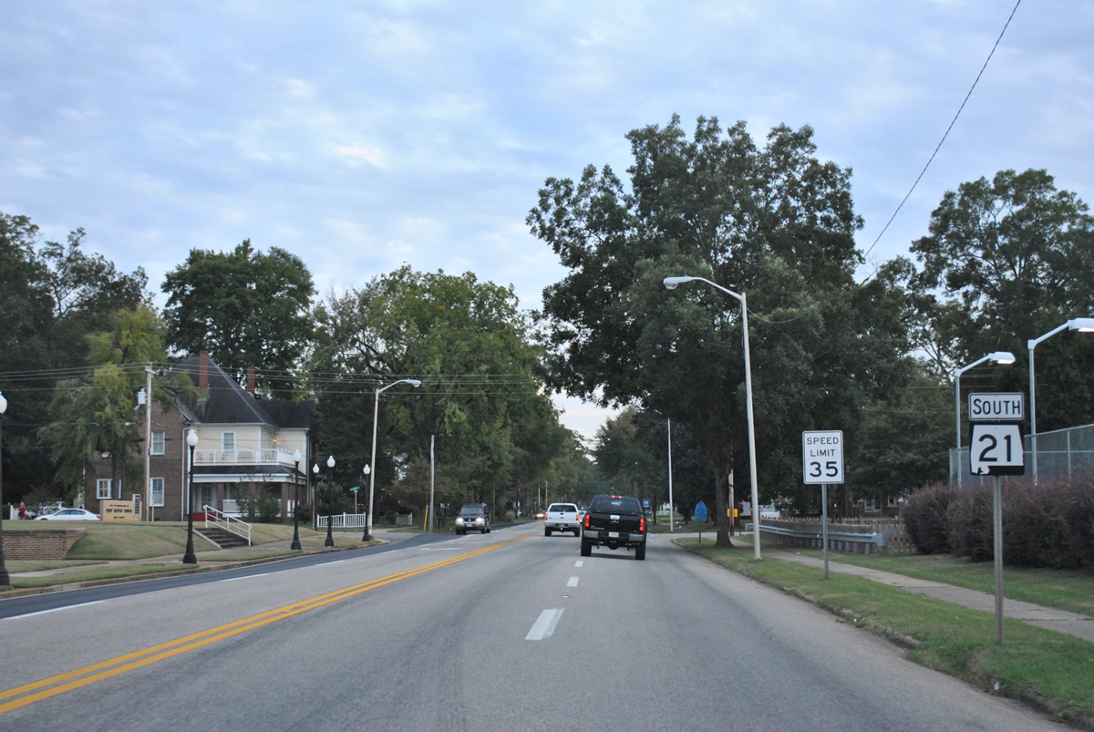
Broadway Avenue expands to four lanes south from Fort Williams Street (CR-511) as SR-21 leaves the business district of Sylacauga.
10/07/12
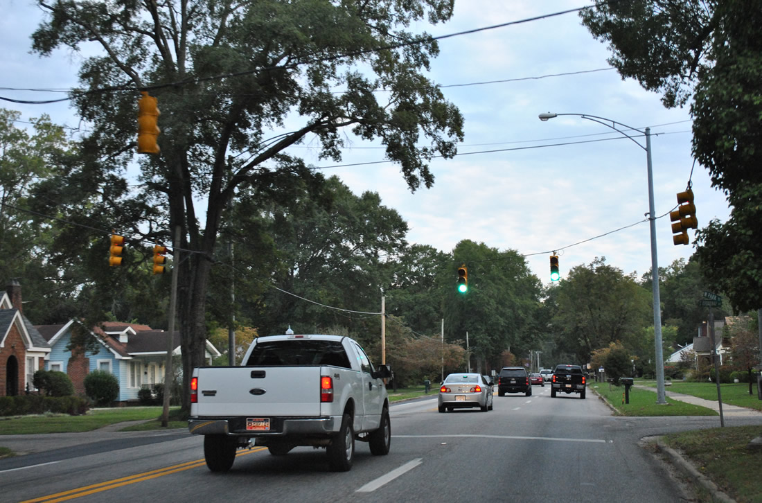
Park Street comprises a residential through street west to U.S. 231 & 280 and east to Main Avenue.
10/07/12
Talladega County 511 emerges from SR 21 (Broadway Avenue) south at the intersection with Goodwater Highway.
10/07/12

County Road 511 along Goodwater Highway follows U.S. 280 southeast from Sylacauga to Goodwater (SR 9) in Coosa County.
10/07/12
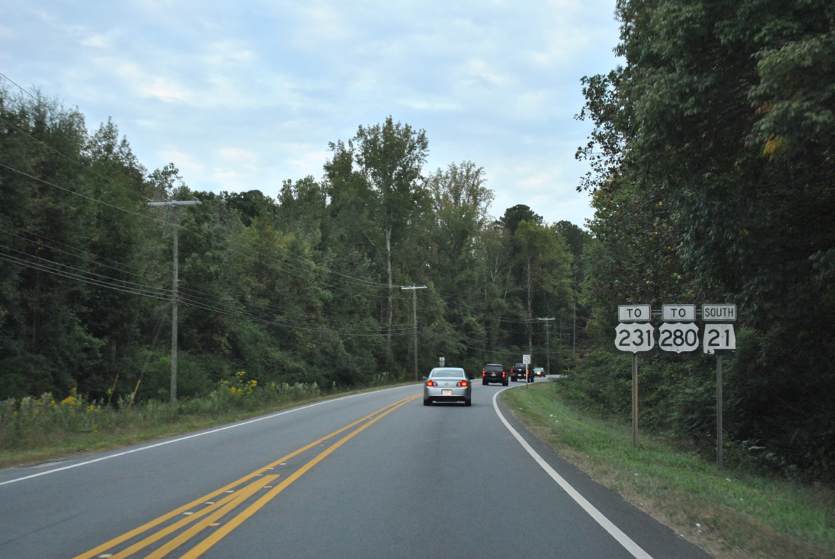
SR 21 (Broadway Avenue) branches southwest from CR-511 (Goodwater Highway) to meet U.S. 231 and 280.
10/07/12
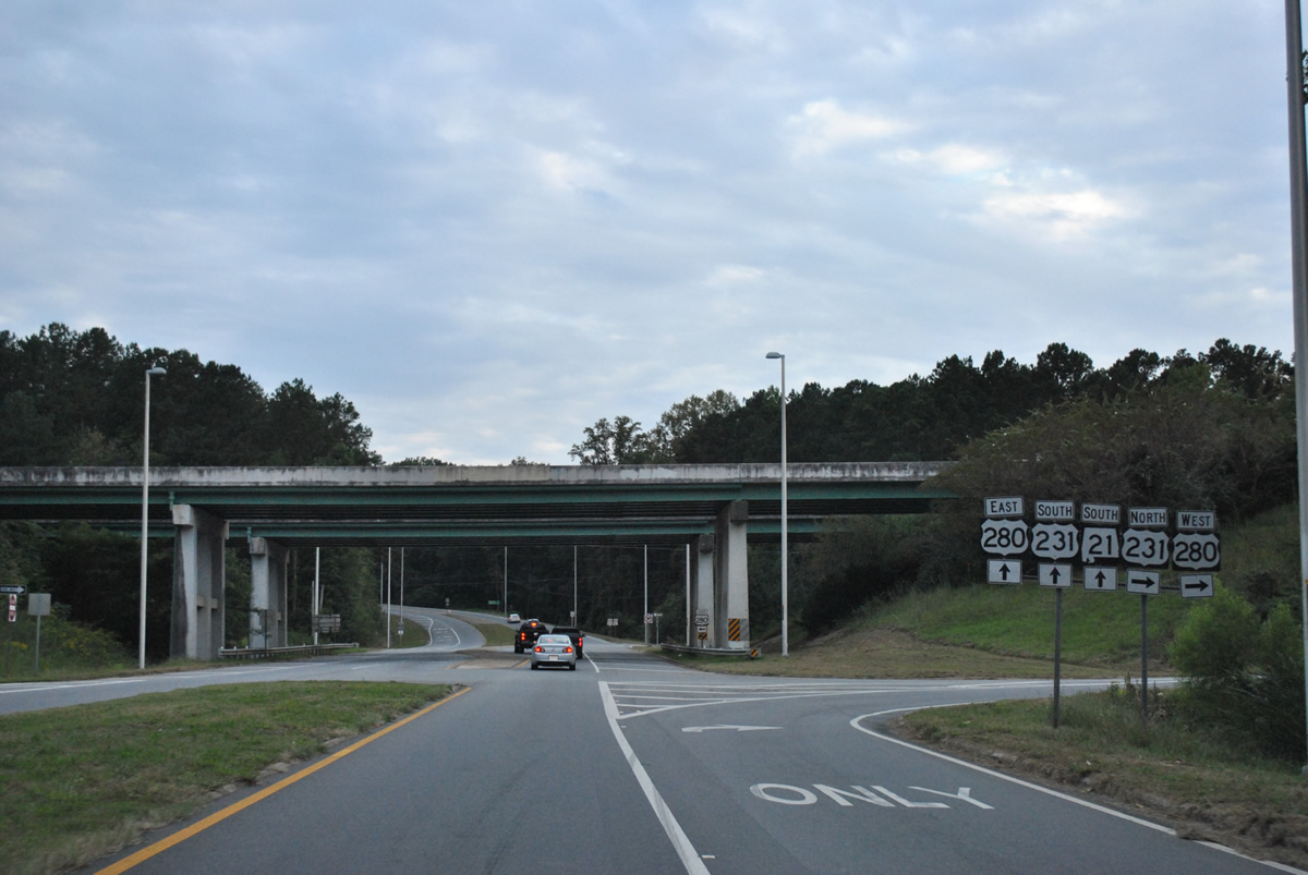
A diamond interchange joins SR 21 (Broadway Avenue) south with U.S. 280 and U.S. 231 north. U.S. 231 north & 280 west combine 21 miles northwest to Oak Grove, Childersburg and Harpersville in Shelby County.
10/07/12
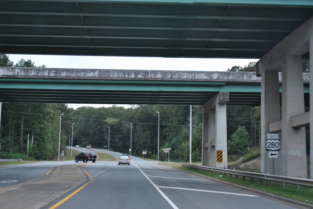
Passing under the U.S. 280 mainline, drivers bound for the US route east to Alexander City and Opelika turn left as U.S. 231 south joins SR 21 south.
10/07/12
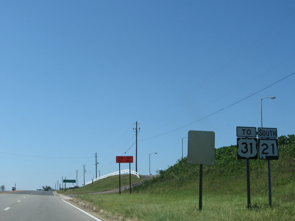
SR 21 leaves the Exit 57 diamond interchange with Interstate 65 and approaches the Wind Creek Casino complex of the Poarch Creek Indian Tribe. A U.S. 31 trailblazer is posted for the connection in Atmore; U.S. 31 does not cross Interstate 65 again heading south to Spanish Fort.
09/27/08
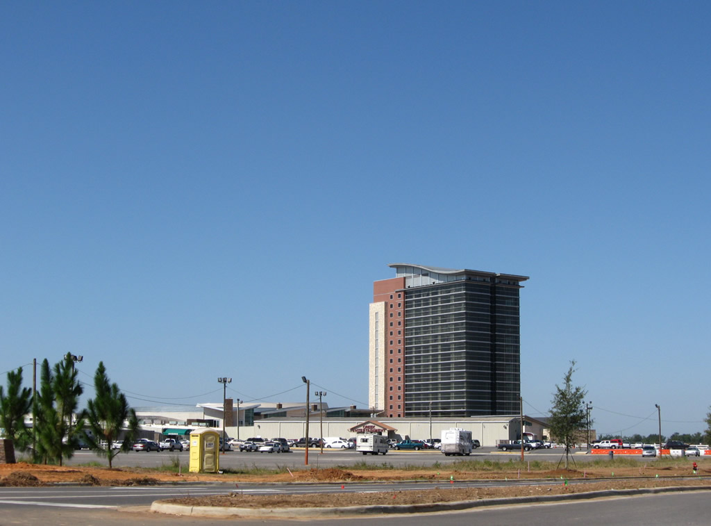
Escambia County 14 was realigned onto a four lane parkway to accommodate the Wind Creek Casino complex and now ends at a signalized intersection with SR 21. County Road 14 travels west to Poarch and Jack Springs Road (Escambia County 1).
09/27/08
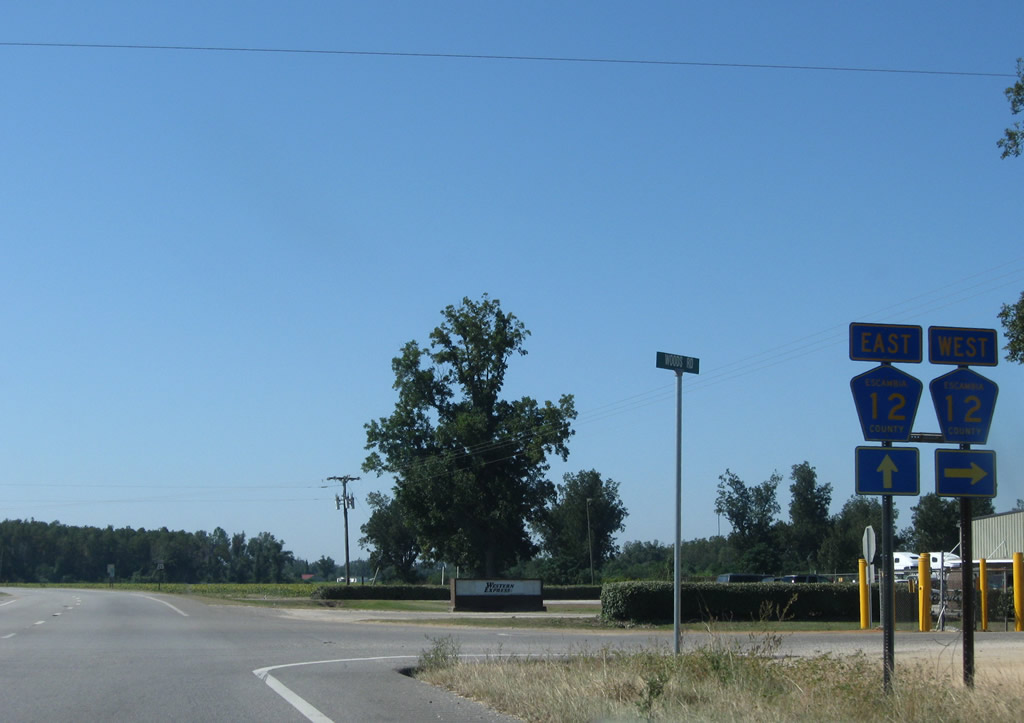
Continuing south to Pleasant Hill, SR 21 meets the split intersection with Escambia County 12. County Road 12 joins the state highway with Escambia County 1 near Freemanville.
09/27/08
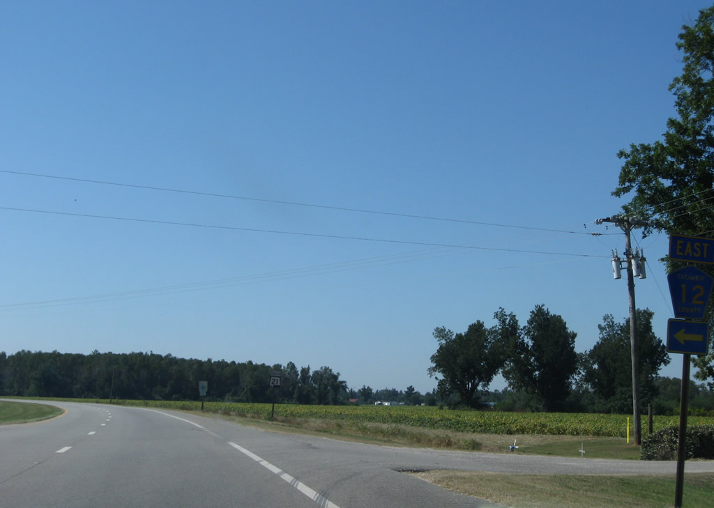
Robinsonville Road (Escambia County 12) ventures east from Pleasant Hill to Escambia County 27 (Pouncey Road) and Robinsville.
09/27/08
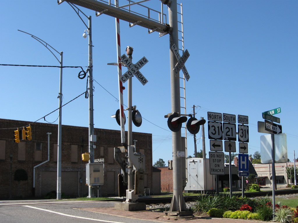
SR 21 downgrades from a four lane divided highway into a four lane arterial north of the Atmore city line. The state highway follows Main Street south to junction Escambia County 1 (Howard Street) in this scene. County Road 1 stems northwest from Atmore to Exit 54 of Interstate 65 and Jack Springs.
09/27/08
Entering downtown Atmore at the signalized intersection with Ridgeley Street on SR 21 (Main Street) south.
09/27/08
U.S. 31 (Nashville Avenue) parallels a CSX Railroad line through the heart of Atmore. The US route intersects SR 21 (Main Street) opposite Louisville Avenue.
09/27/08
U.S. 31 travels a rural route outside Atmore west to Bay Minette and east to Canoe and Flomaton (U.S. 29).
09/27/08
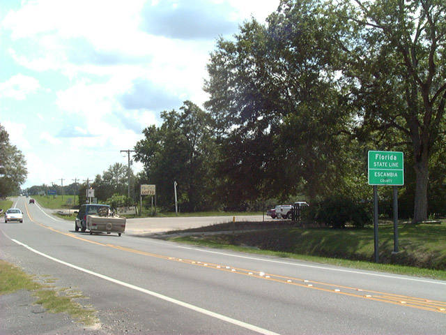
The southern terminus of SR 21, as it crosses into the Sunshine State west of Bratt, Florida. The two lane highway transitions into SR 97 and continues southward to U.S. 29 near Molino, with an eventual destination of Pensacola. Unlike the southern terminus of SR 41 at the Florida line, no end sign is posted.
08/24/02
Photo Credits:
- ABRoads: 09/27/08, 10/07/12
- Alex Nitzman: 08/24/02
Page Updated Sunday October 14, 2012.