
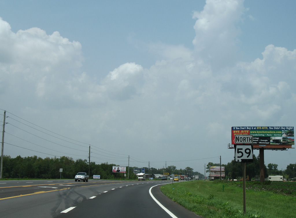
State Route 59 North - Foley to Loxley
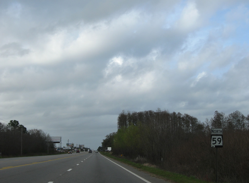
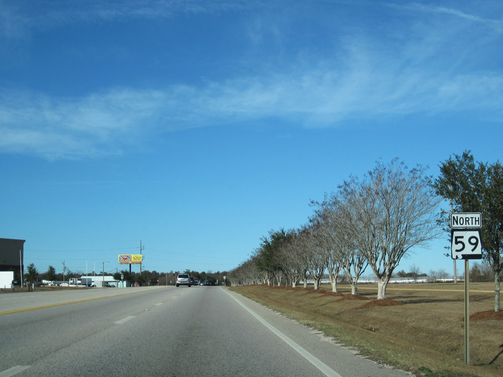
 North
North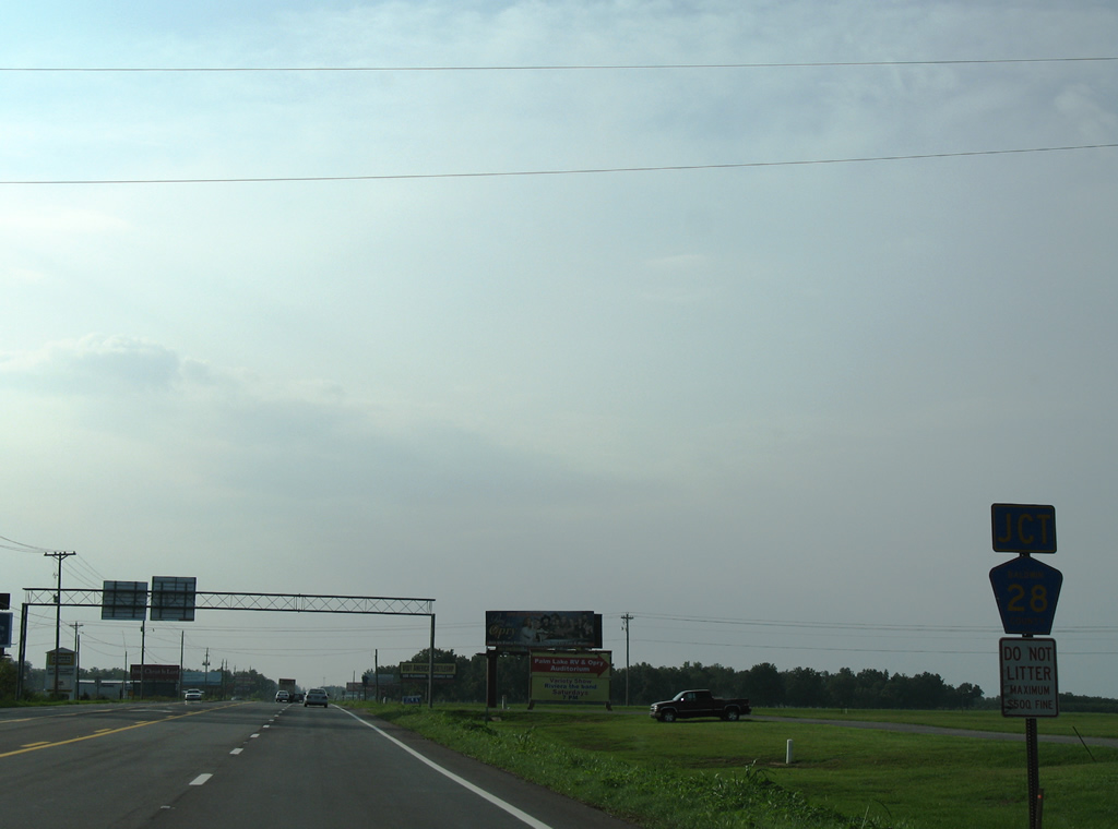
CR 28 stems west 1.4 miles from the Baldwin Beach Express to cross SR 59 in south Summerdale. The Baldwin Beach Express replaced the county road south to the Foley Beach Express when it opened in 2009.
08/02/06
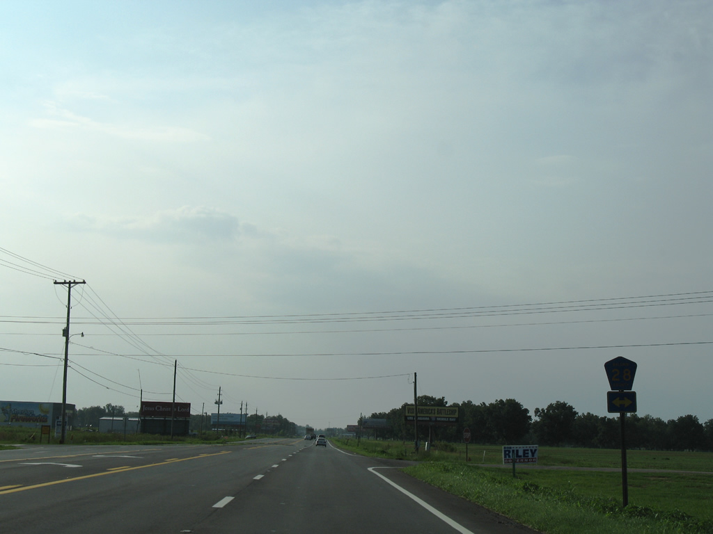
Marlow Road doubles as County Road 28 west from SR 59 to CR 9 at Marlow and the Fish River.
08/02/06
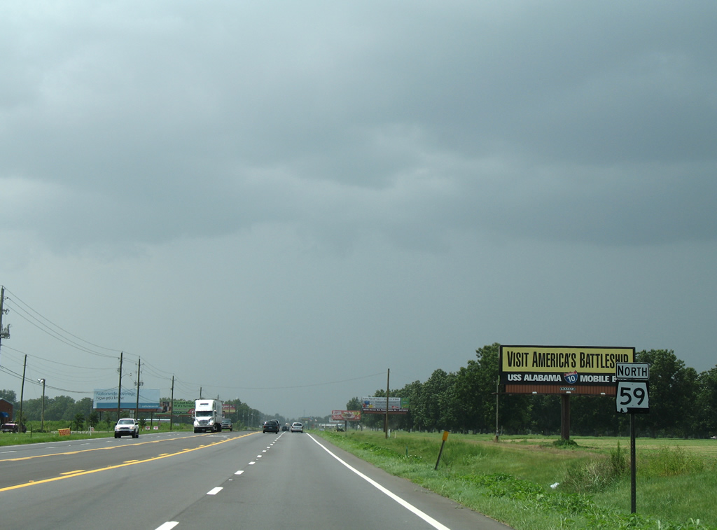
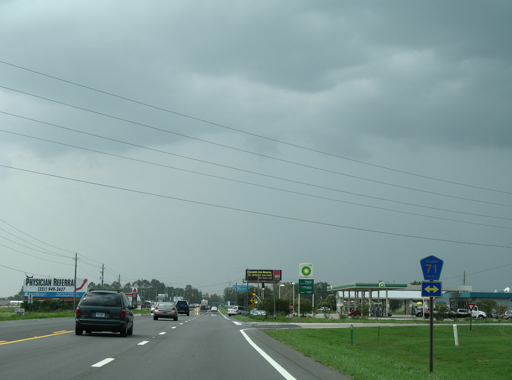
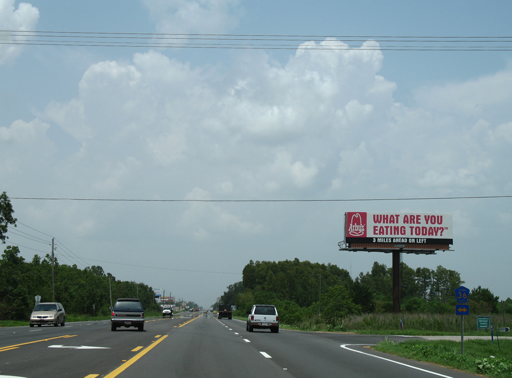
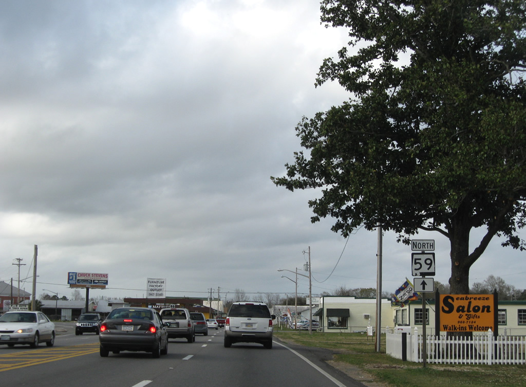
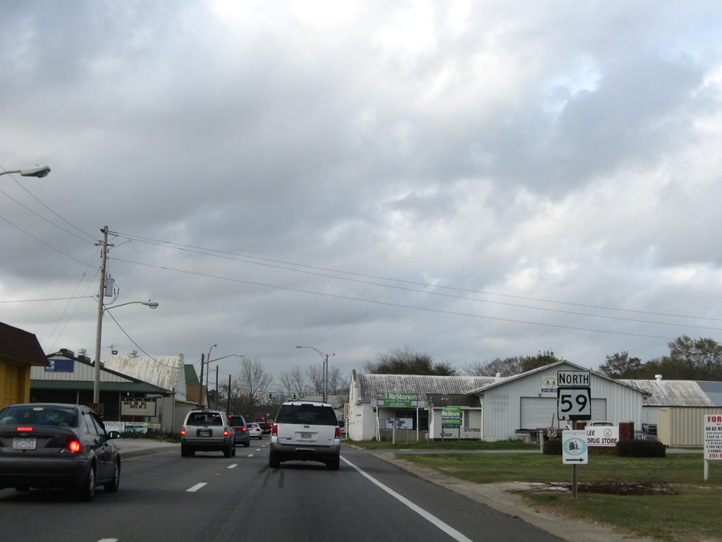
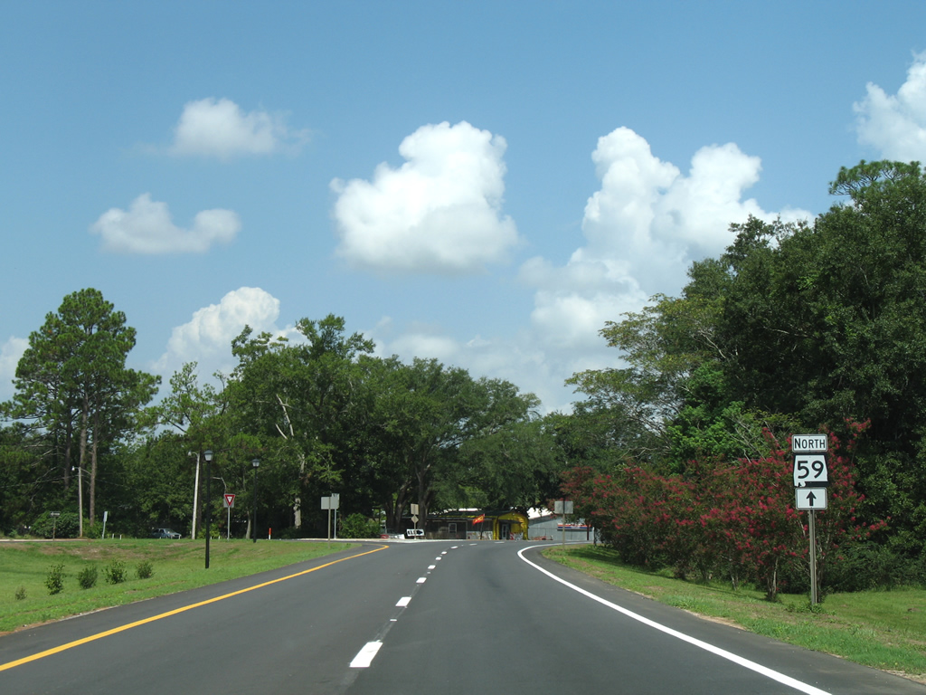
Agricultural frontage lines both sides of SR 59 northward for the next two miles.
08/03/06
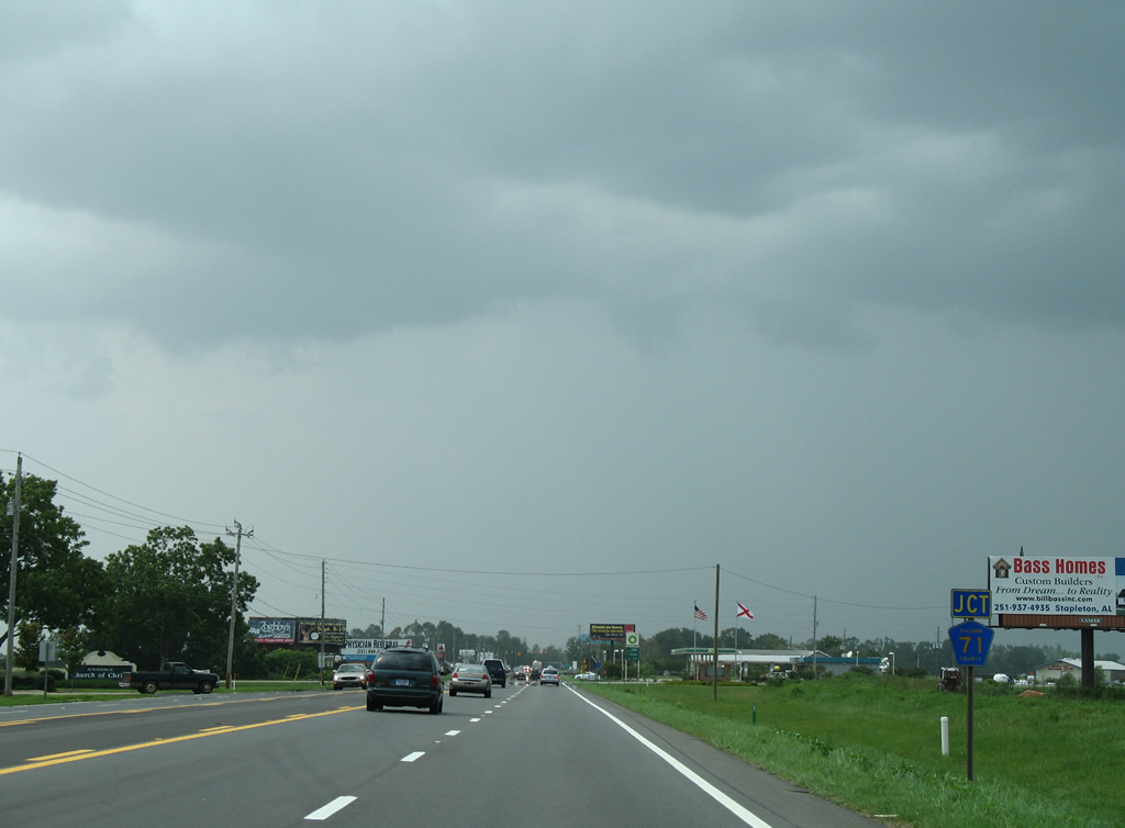
Hoffman Road north and West 1st Street south come together as County Road 71 at SR 59 in south Summerdale.
08/03/06
CR 71 (Hoffman Road) spurs south 1.75 miles to Carver Lane. West 1st Street leads north into downtown Summerdale. County Road 71 parallels SR 59 one half mile to the east to Robertsdale.
08/03/06
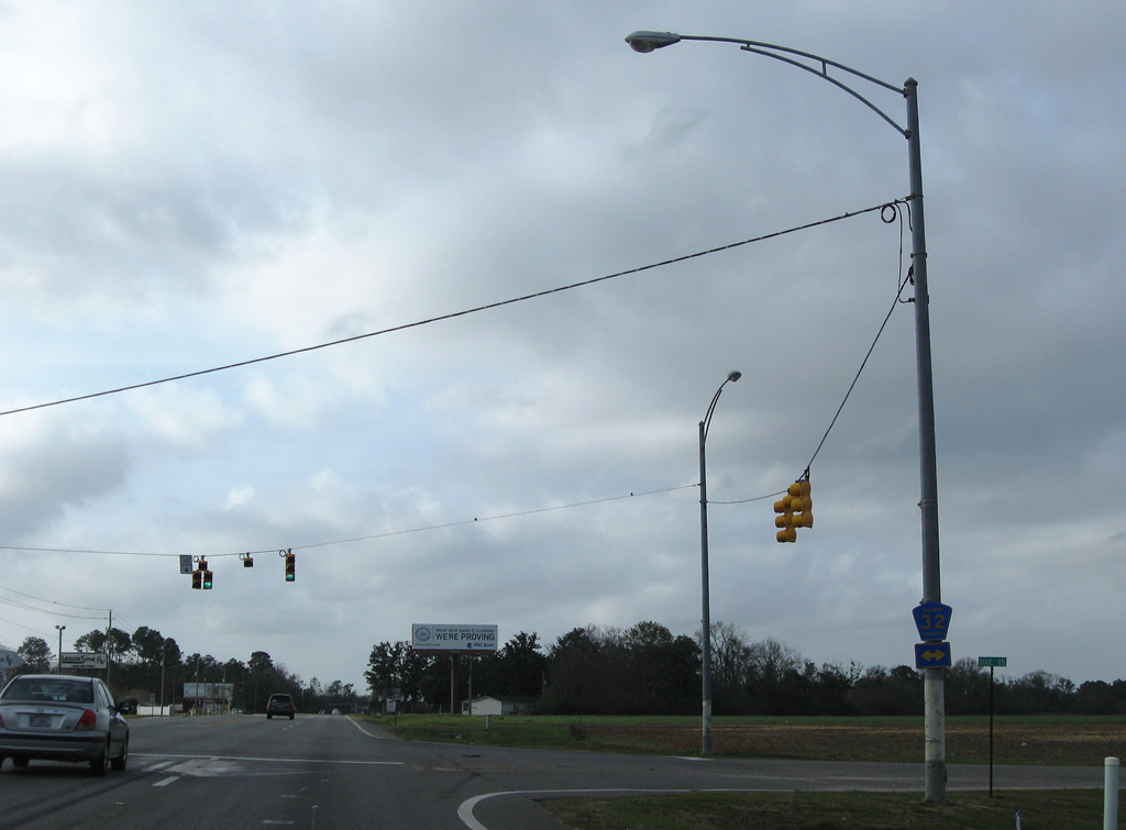
CR 32 travels west from a rural beginning at CC Road to meet SR 59 as Dixie Road in south Summerdale. The county road continues west all the way to Point Clear on Mobile Bay (County Road 98).
03/08/09
SR 59 curves back toward a northern trajectory on a bypass alignment of the Summerdale street grid.
08/04/06
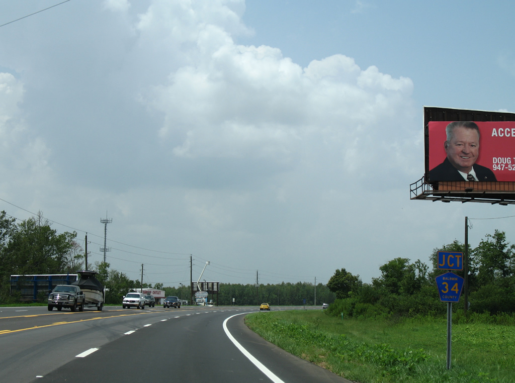
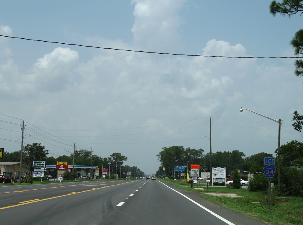
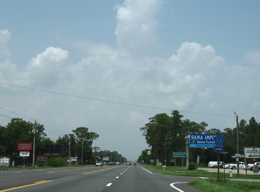
The first of three County Road 34 intersections joins the southern segment of the route with SR 59.
08/04/06
West CR 34 spurs 1.5 miles to Ted Lysek Road at Cadiana Drive through agricultural areas.
08/04/06
Northbound reassurance shield of SR 59 posted near Lee Avenue in Summerdale.
08/04/06
CR 34 continues east of SR 59 via Broadway into downtown Summerdale.
08/04/06
County Road 34 leaves the Summerdale street grid and ends 2.5 miles east of SR 59. The road will eventually end at the Baldwin Beach Express once construction of that road is completed.
08/04/06
Five lanes of SR 59 north between Broadway and Jackson Avenue in Summerdale.
08/04/06
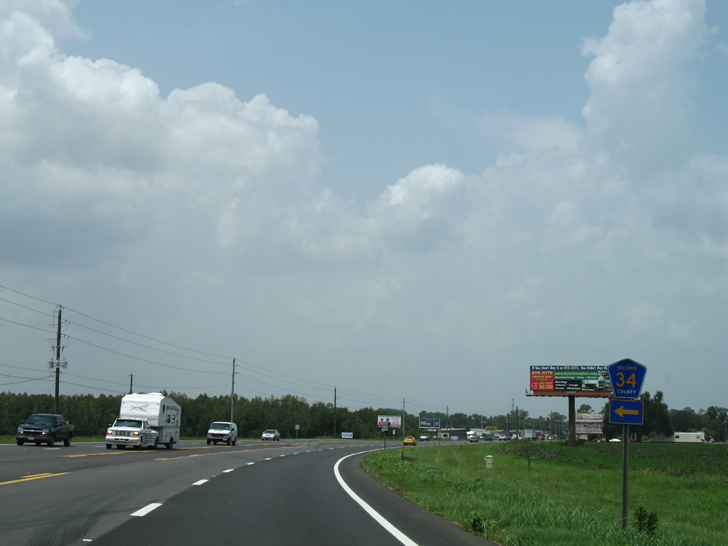
A third branch of County Road 34 follows Hoffman Road west from just north of the Summerdale street grid. This stretch of county highway links SR 59 with County Road 55, 2.5 miles to the west.
03/08/09
SR 59 meets County Road 36 (Greenwood Road) one half mile north of Hoffman Road.
03/08/09
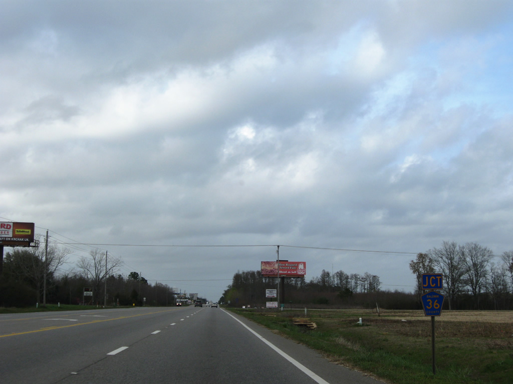
Beginning at Davis Road and Walker Trail one mile to the west, CR 36 leads east across SR 59 onto Greenwood Road. Greenwood Road carries the route to a northward turn onto Greenwood Church Road and County Road 38.
08/04/04
SR 59 remains within the Summerdale town limits for another 1.25 miles north of County Road 36.
03/08/09
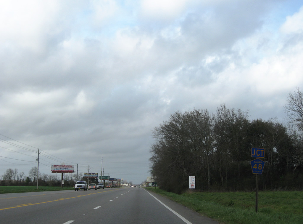
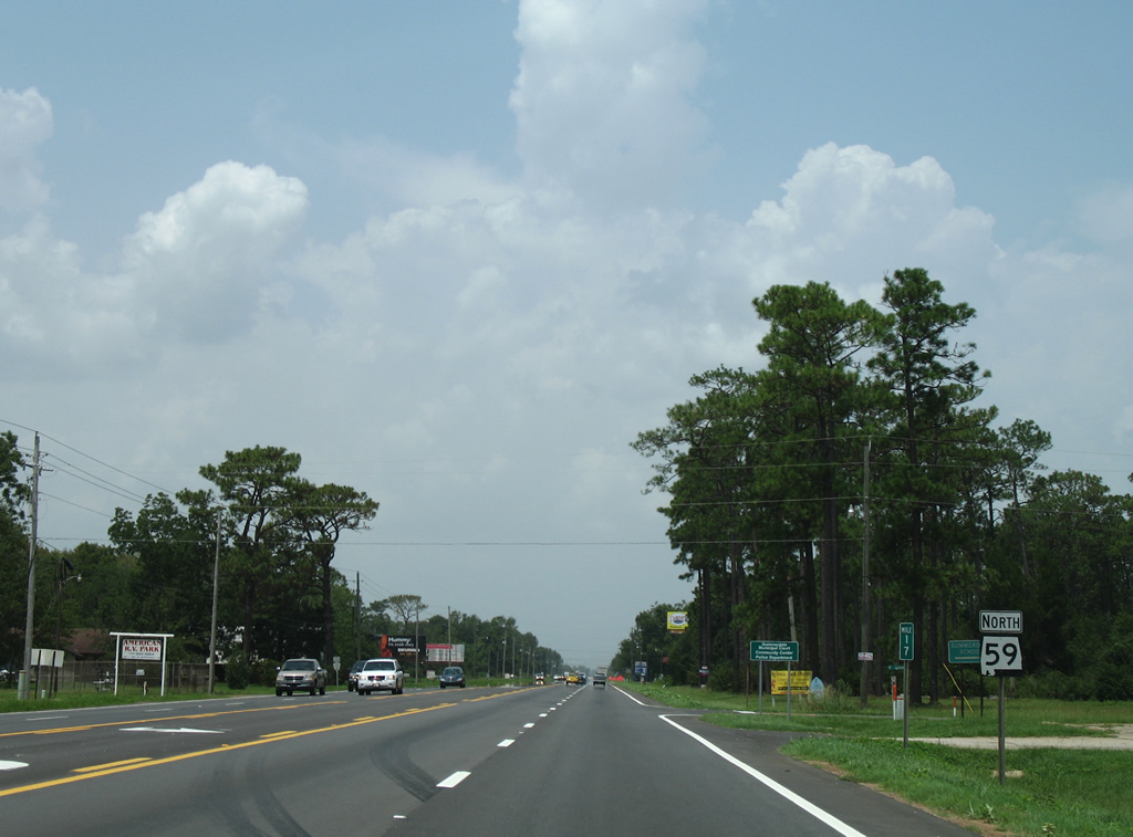
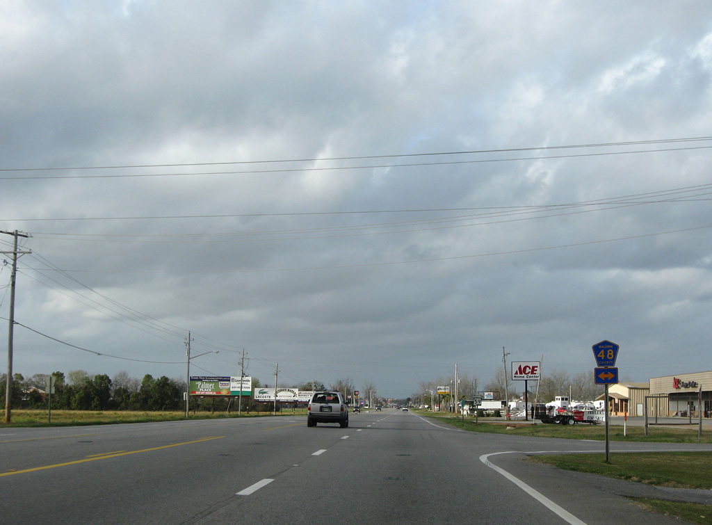
The next two intersections join SR 59 with separate segments of County Road 48.
03/08/09
Annexations of Robertsdale extend the city limits southward to SR 59 north at CR 48 east. CR 48 spurs 1.75 miles east to a dead end beyond the north end of County Road 73.
03/08/09
One half mile separates the two County Road 48 alignments.
03/08/09
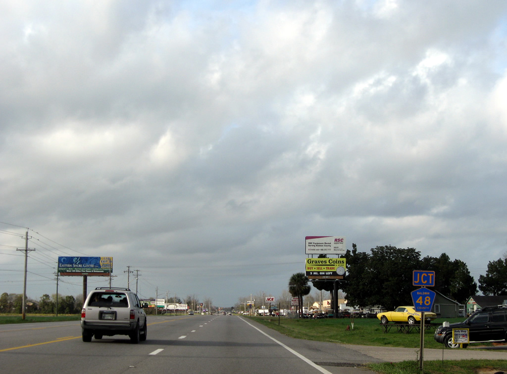
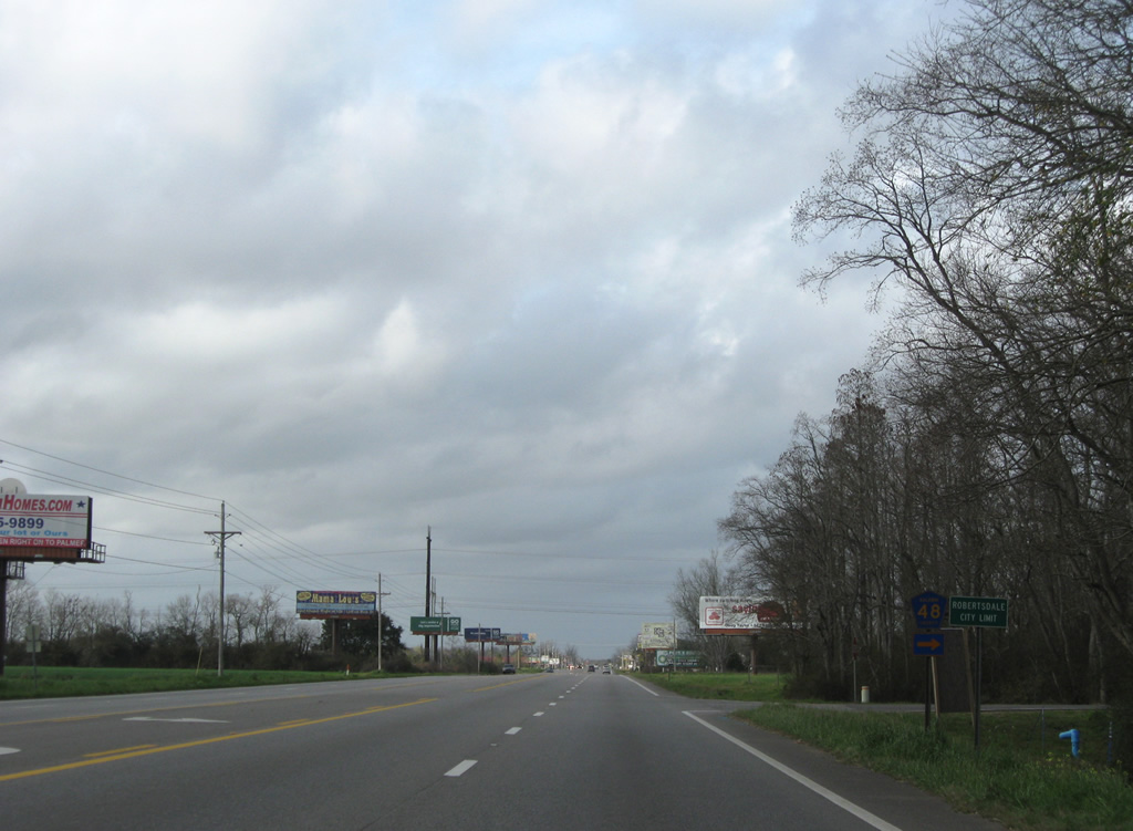
County Road 48 spurs west along Sawyer Road one mile to a southward alignment to Owens Lane. Southtown was built along the route during the mid-2000s real estate surge and remains as a vastly unbuild subdivision.
03/08/09
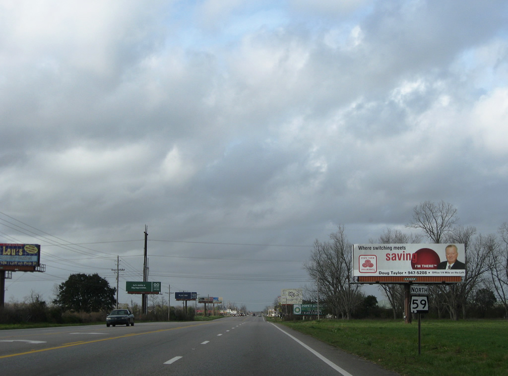
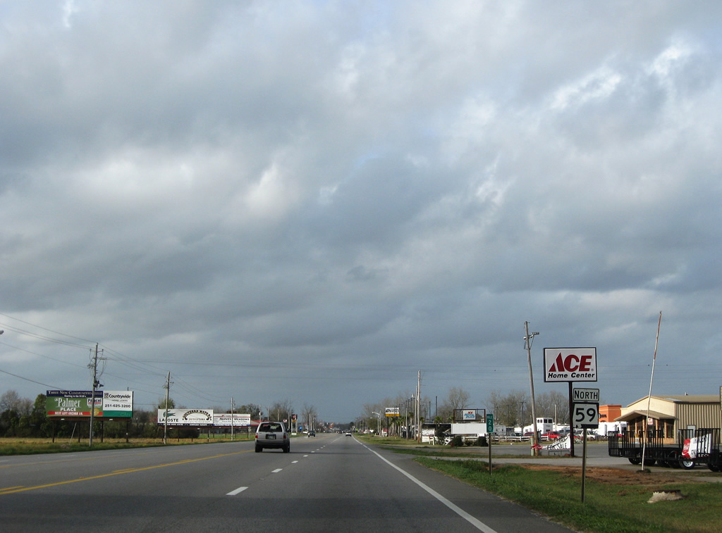
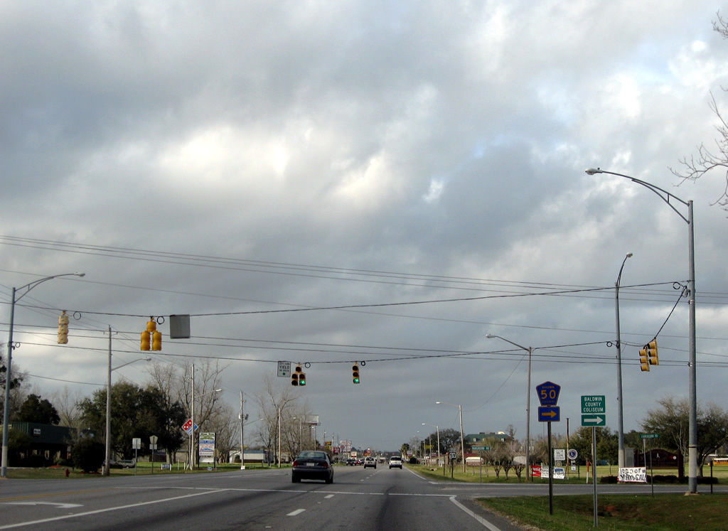
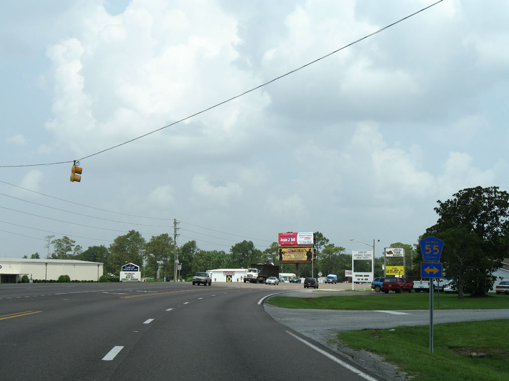
SR 59 north at County Road 48. CR 48 spurs four miles east from the five lane arterial to end at Zinner Road near a handful of rural residences.
03/08/09
20 miles north of the coast, SR 59 travels by a handful of industrial businesses and into the heart of Robertsdale.
03/08/09

Approaching the west end of CR 50 (Berner Road) on SR 59 north in Robertsdale.
03/08/09
County Road 50 (Berner Road) travels as a paved road one mile east to Baldwin County Coliseum and Adams Drive. Berner Road continues beyond Adams Drive as a dirt road to CR 83.
03/08/09

Passing by Robertsdale High School on SR 59 north between Berner Road and Media Drive.
03/08/09
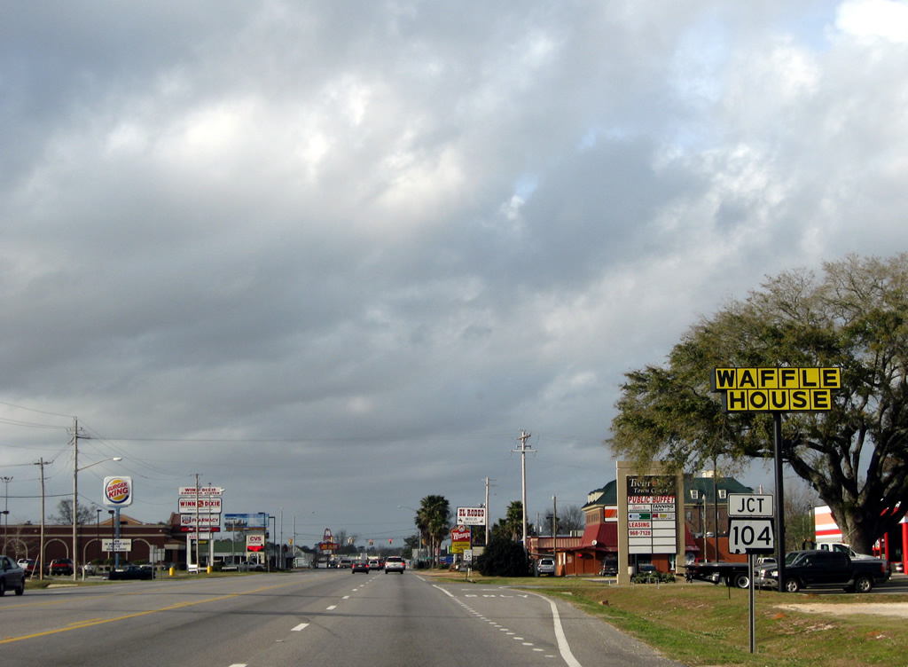
SR 59 becomes commercialized on the strip leading into old town Robertsdale at SR 104 (Silverhill Avenue). SR 104 begins and ventures west to Silverhill and Fairhope.
03/08/09
Silverhill Avenue carries SR 104 west 2.5 miles to central Silverhill. The state route otherwise ends at U.S. 98, 10.78 miles to the west. Silverhill Avenue east links SR 59 with CR 83 south to County Road 36. The north-south County Road 83 alignment is the future Baldwin Beach Express four lane corridor.
03/08/09
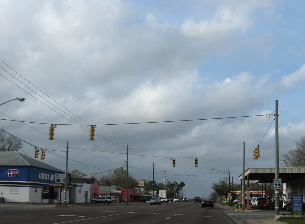
SR 59 north follows Milwaukee Street into the Robertsdale street grid.
03/08/09
SR 59 partitions into a one way street couplet through downtown Robertsdale. SR 59 north follows Chicago Street while southbound traffic utilizes Milwaukee Street.
03/08/09
Reassurance marker for SR 59 posted on Chicago Street north at Florida Street in Robertsdale. Florida Street links the state highway with County Road 71 (College Avenue) one half mile to the east.
03/08/09
Wilters Street meets SR 59 (Chicago Street) at a traffic light. The east-west road ends at Racine Street two blocks to the west and becomes County Road 52, east of College Avenue, to the Robertsdale Waste Water Treatment plant.
03/08/09
Angling northwest along Chicago Street through downtown Robertsdale, SR 59 parallels a former railroad line to its merge with Milwaukee Street.
08/02/06
Chicago Street merges with Milwaukee Street ahead of the SR 59 intersection with Illinois Street in Robertsdale.
08/02/06
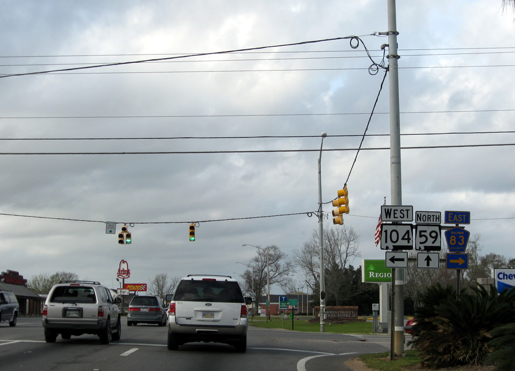
Palmer Street (County Road 65) is interrupted by the SR 59 and U.S. 90 confluence north of downtown Robertsdale. County Road 65 follows the road southward to County Road 52 west to Silverhill and County Road 48 (Sawyer Road).
08/02/06
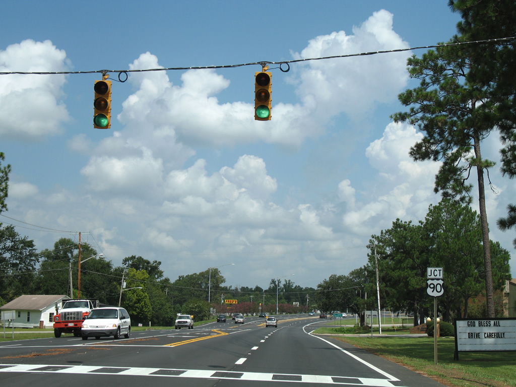
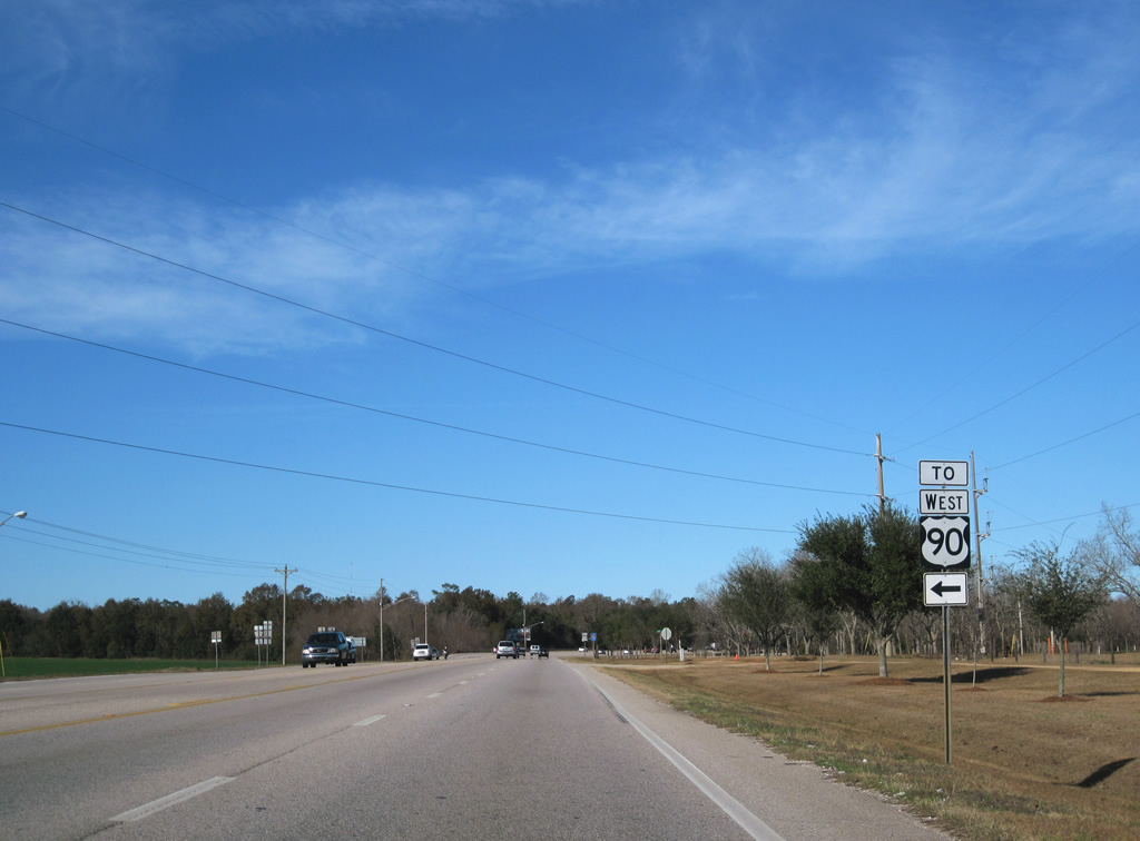
A ramp connects SR 59 north with U.S. 90 east to Pensacola, Florida. County Road 65 resumes a northward course nearby to Rosinton as well.
U.S. 90 west otherwise joins SR 59 north to Loxley.
08/02/06
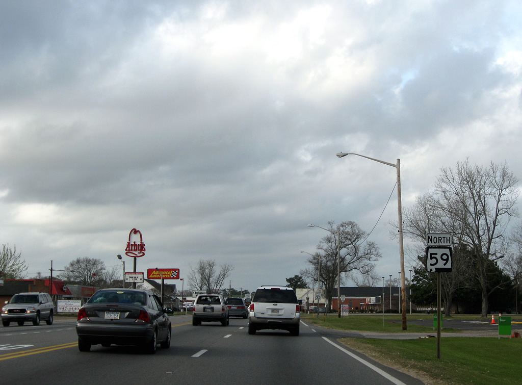
U.S. 90 serves the north side of Robertsdale on the two mile drive east from SR 59. The road otherwise comprises a two lane rural highway through Elsanor and Seminole to Beulah Florida.
08/02/06
 West North
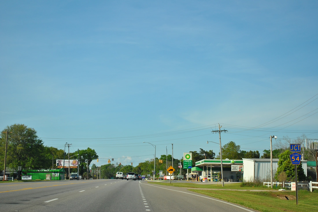
Just after combining, U.S. 90/SR 59 intersect CR 54 at the Robertsdale city line.
03/18/12
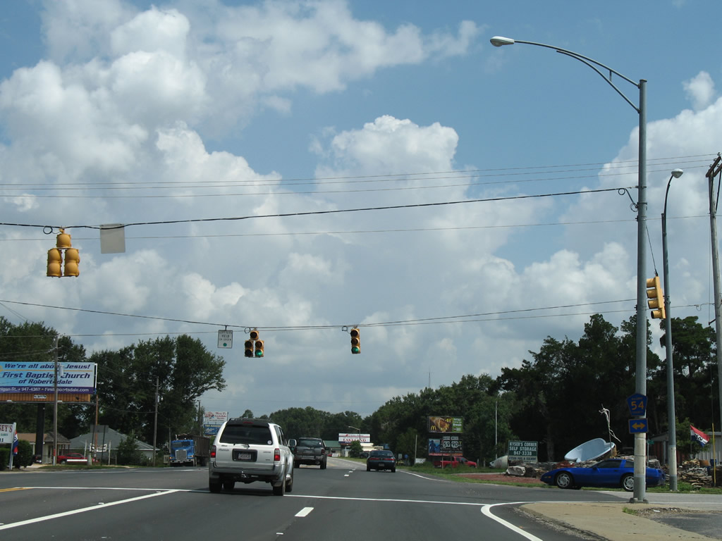
CR 54 begins at adjacent CR 65 and travels west from Robertsdale to NOLF Silverhill and CR 64 at growing suburban areas east of Daphne and Fairhope.
08/02/06
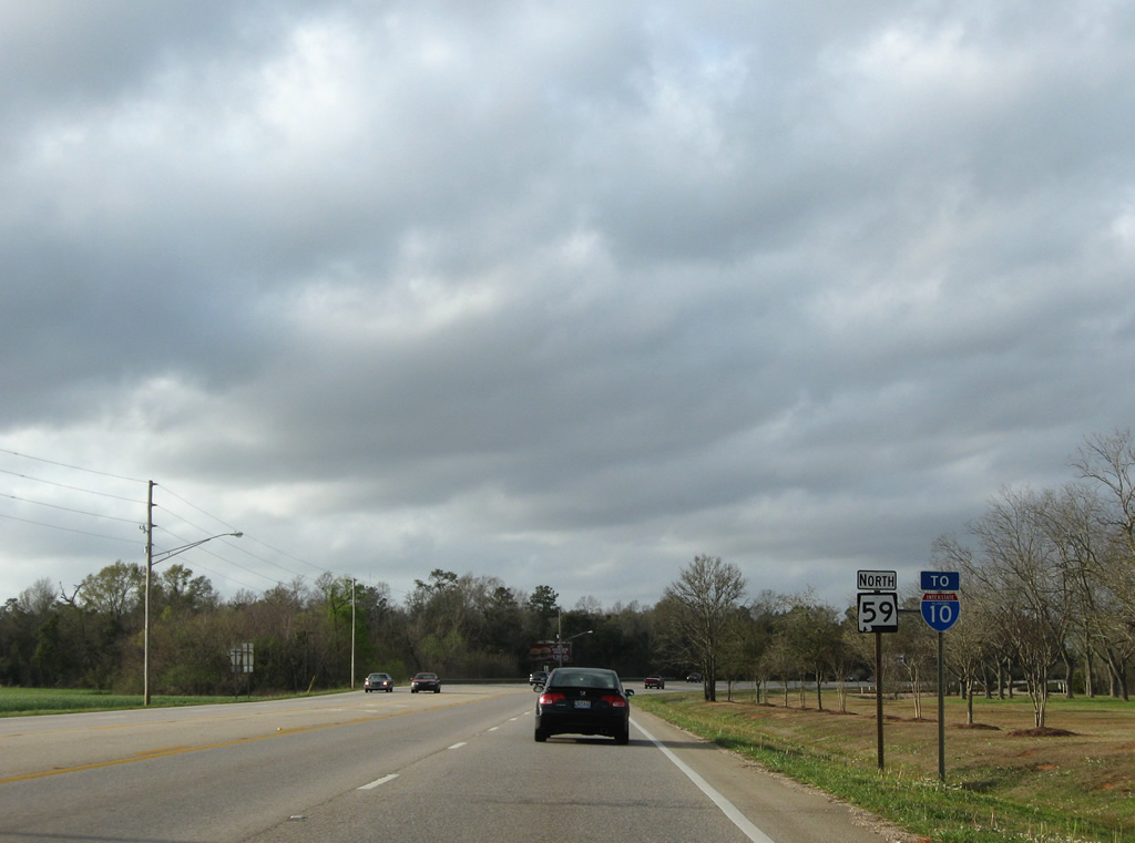
An I-10 trailblazer directing motorists toward Loxley was addedalong U.S. 90/SR 59 north by 2009.
03/08/09
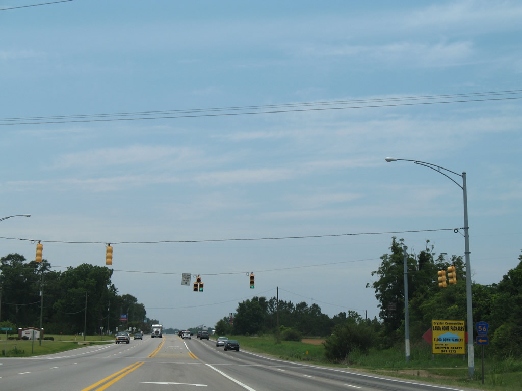
CR 56 travels 1.50 miles west from U.S. 90/SR 59 to CR 55 south of Lake Raynagua.
06/07/06
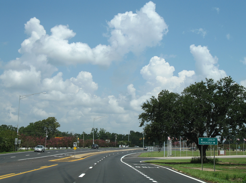
CR 55 continues north by Lake Raynagua to mert U.S. 90/SR 59 in Loxley. The county road follows Holley Street north to CR 68 in town. A traffic light was added to this intersection by 2010.
08/03/06
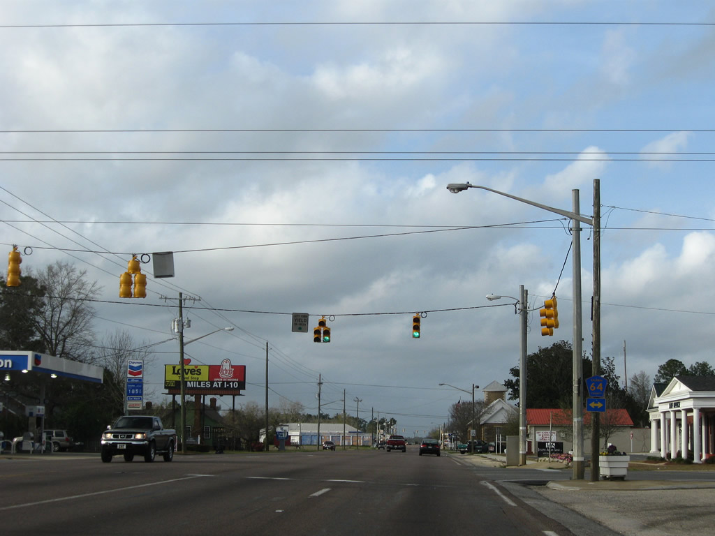
County Route 64 joins Loxley with Daphne to the west and Rosinton and Interstate 10 at Exit 53 to the east.
03/08/09
Two blocks north of CR 64 is the signalized intersection between U.S. 90/SR 59 with Relham Drive. Relham Drive heads west to CR 49 (Magnolia Street) and east as 1st Avenue to Cabinet Shop Road.
03/08/09
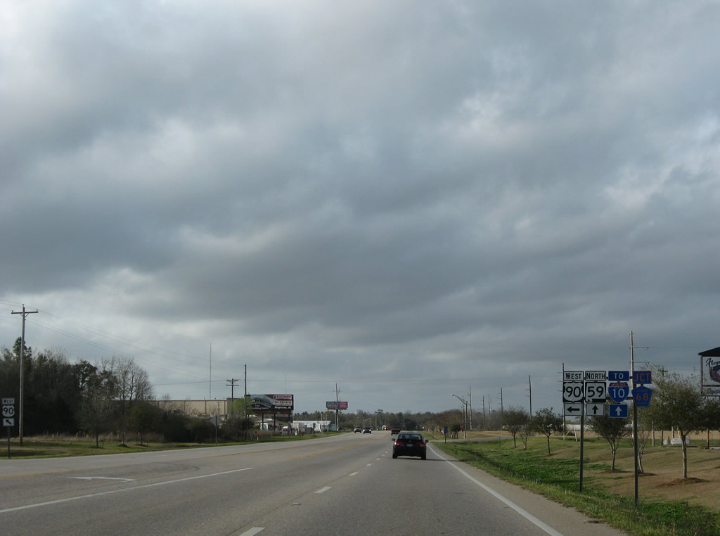
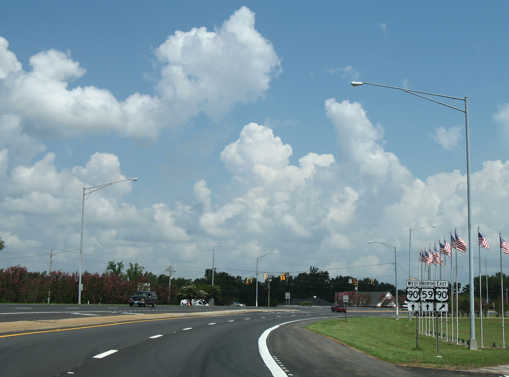
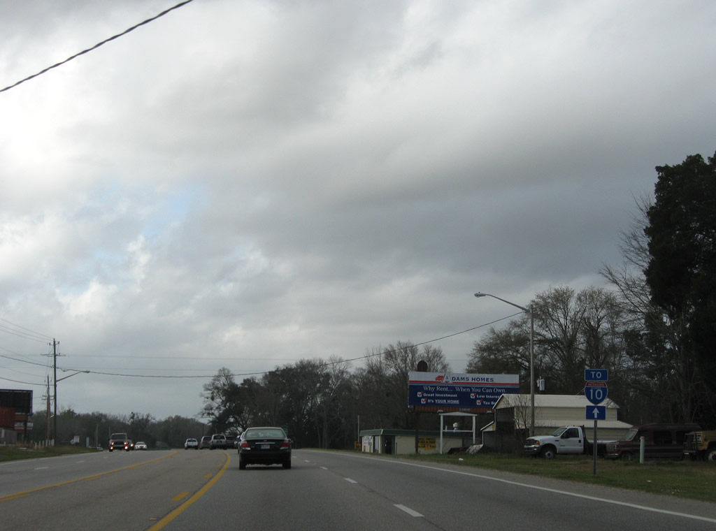
U.S. 90 resumes a westward course from Loxley to Malbis and Daphne, paralleling Interstate 10 to the south. SR 59 continues Gulf Shores Parkway north to I-10 at Exit 44 and the county seat of Bay Minette. CR 68 ties into the route partition from the east.
03/08/09
North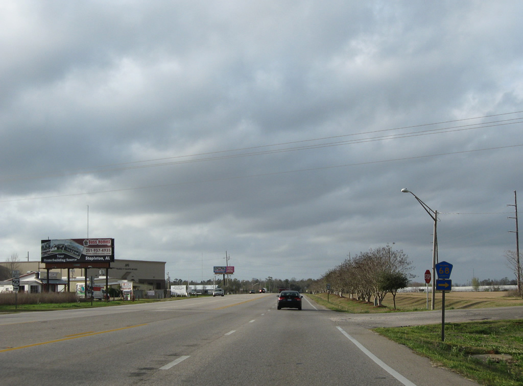
CR 68 begins and travels 4.9 miles east from SR 59 (Hickory Street) at Loxley to Campbell Road near Rosinton. The county road crosses Interstate 10 at the future Baldwin Beach Express interchange.
03/08/09
Continuing northwest along SR 59 (Hickory Street) between U.S. 90/CR 68 and CR 49 (Magnolia Street) south.
01/02/11
County Road 49 follows Magnolia Street south from SR 59 back into the Loxley street grid. The rural road provides a second opportunity to turn onto U.S. 90 west to Daphne.
01/02/11
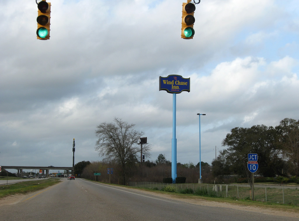
Northbound SR 59 reassurance shield and companion Interstate 10 trailblazer posted on Gulf Shores Parkway north of CR 49. Two miles separates the town core and the folded diamond interchange with Interstate 10 (Exit 44).
03/08/09
A small array of traveler services line the south side of Interstate 10 and SR 59 along Gulf Shores Parkway. A traffic light governs the movements with Flowerwood Road and an adjacent frontage road ahead of the ramps to the freeway.
03/08/09
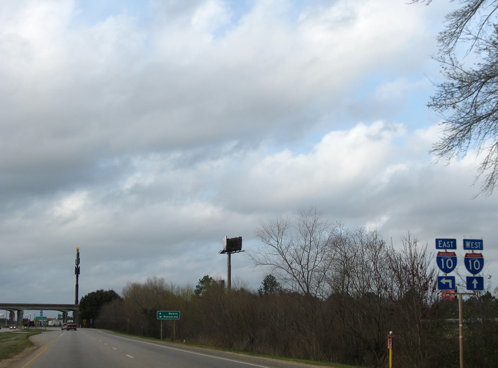
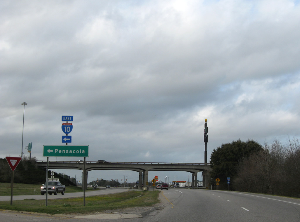
The former railroad line between Foley and Bay Minette necessitated that the ramps between SR 59 and Interstate 10 be built to the west. A loop ramp ascends onto Interstate 10 east for Pensacola first.
03/08/09
22 miles separate the Loxley interchange of SR 59 from the Florida State line. Interstate 110 is a 35 mile drive to the east.
03/08/09
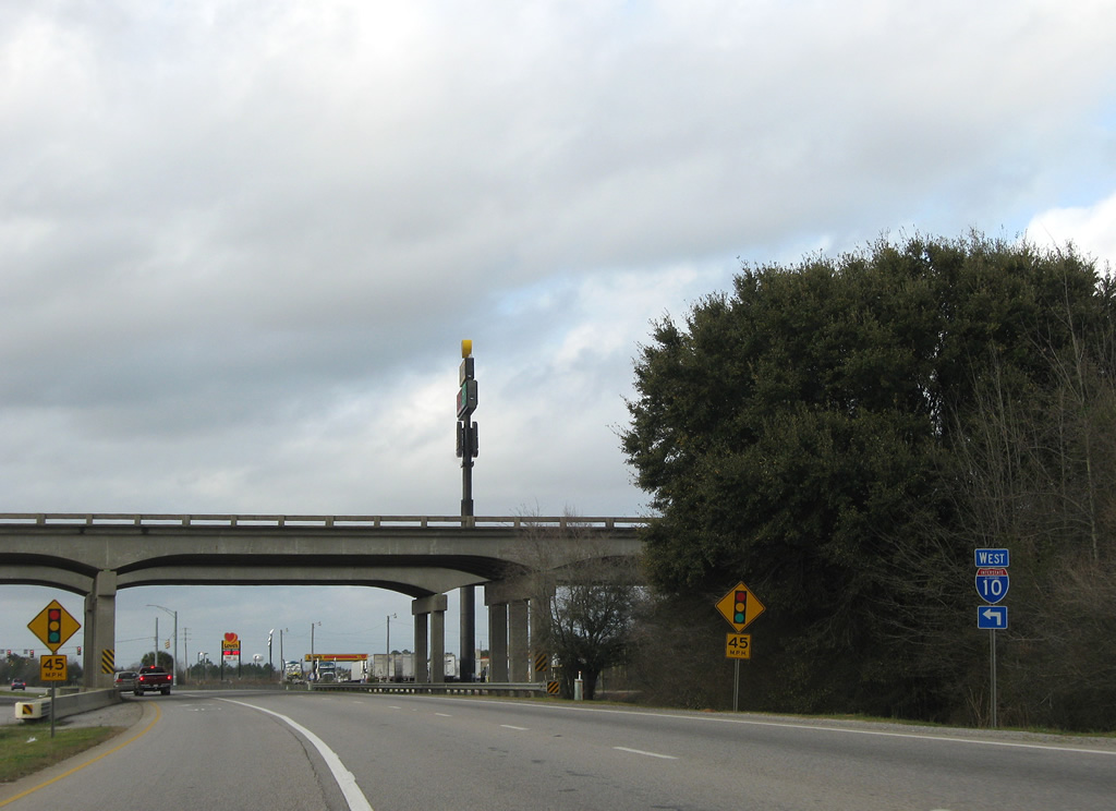
SR 59 passes under Interstate 10 and approaches the westbound on-ramp to Daphne, Spanish Fort, and Mobile.
03/08/09
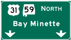

Photo Credits:
- Alex Nitzman: 08/04/04, 06/07/06, 08/02/06, 08/03/06, 08/04/06
- ABRoads: 03/08/09, 01/02/11, 03/18/12
Connect with:
Page Updated Saturday September 10, 2011.