
Bridge of the Gods
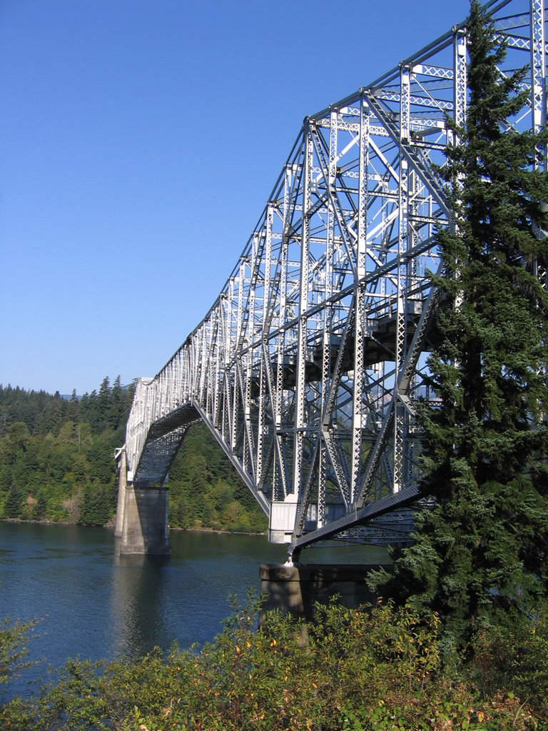
Spanning the Columbia River, the Bridge of the Gods is a steel cantilever bridge linking Cascade Locks, Oregon with Stevenson, Washington. Opened in 1926, the 1,856 foot long bridge traveled 91 feet above the river. Creation of the Bonneville Dam in 1938 necessitated raising the bridge 44 feet to accommodate the rise in water. This was completed in 1940. Ownership of the bridge changed hands from the Wauna Toll Bridge Company in 1926 to the Columbia Bridge Company in 1953. The Port of Cascade Locks Commission purchased the span on November 1, 1961.1
The Bridge of the Gods derives its name from a geologic event 1,000 years where a giant landslide from the north shore of the Columbia River blocked the flow of the river, creating an inland sea stretching as far east as Idaho. Over time the natural dam eroded, leading to the creature of a natural stone bridge. Native American legend attributes the creation of the natural bridge to Manito, the Great Spirit, which is where the Bridge of the Gods name originated. The stone bridge eventually succumbed to the elements, leading to the formation of the Cascade rapids. 1
Tolls are charged to travelers crossing the Bridge of the Gods in both directions. Rates are set at $1.00 per passenger vehicle by the Port of Cascade Locks.
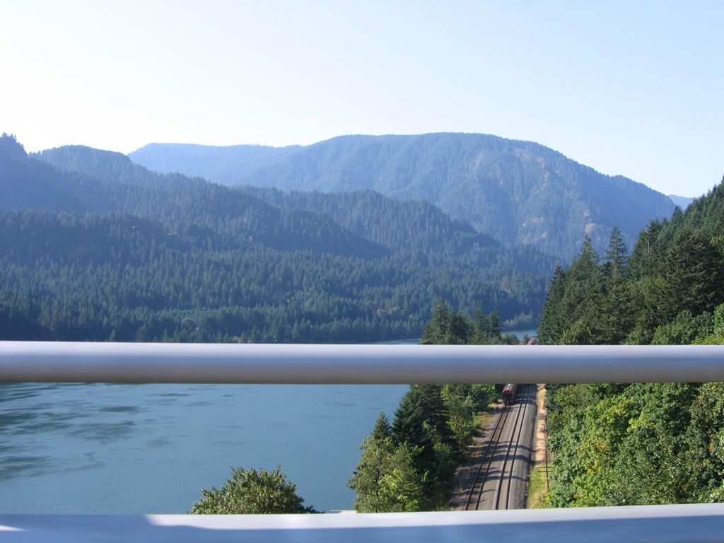
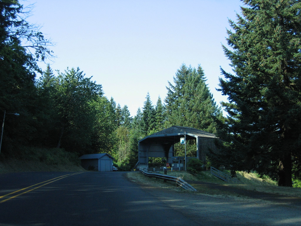
Leaving the intersection with Washington 14, the Bridge of the Gods immediately crosses over a BNSF Railroad and the north banks of the Columbia River.
08/28/06
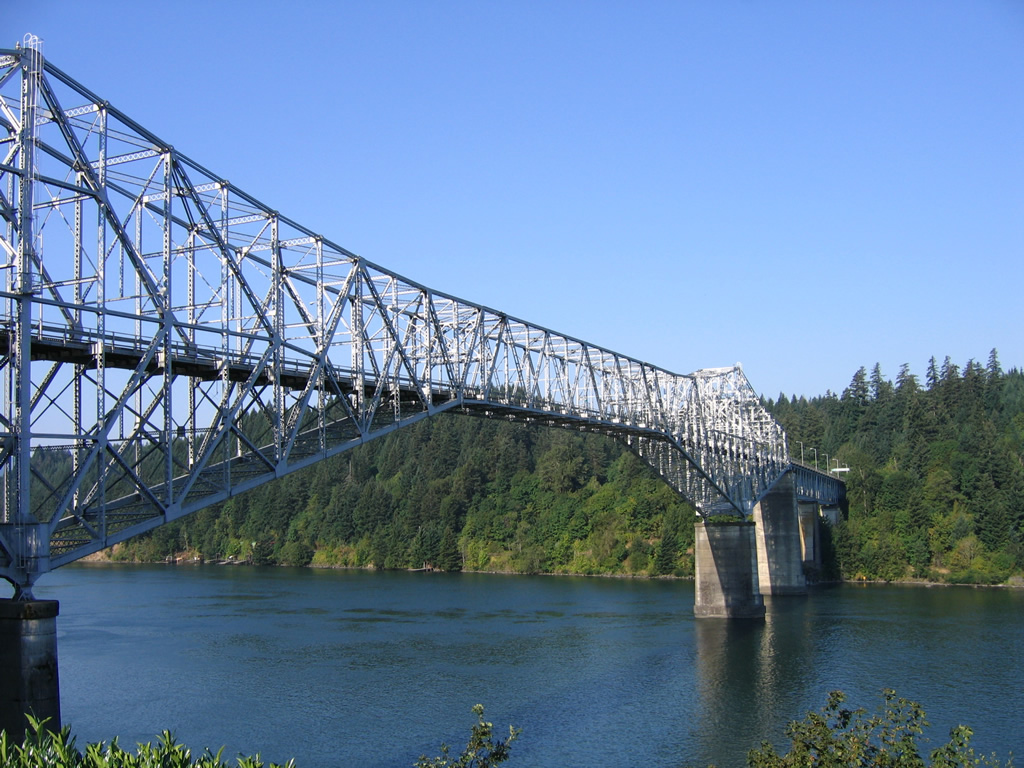
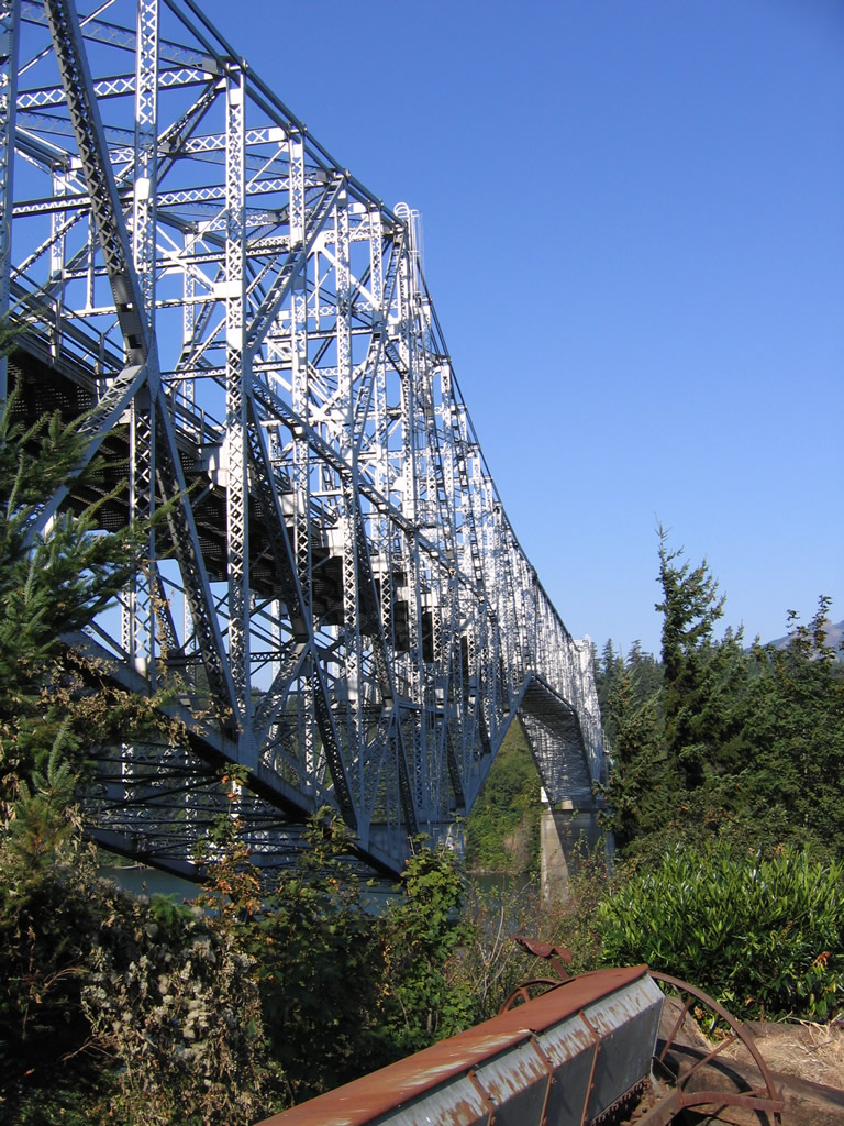
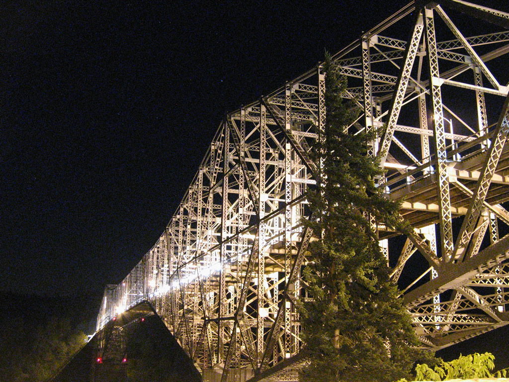
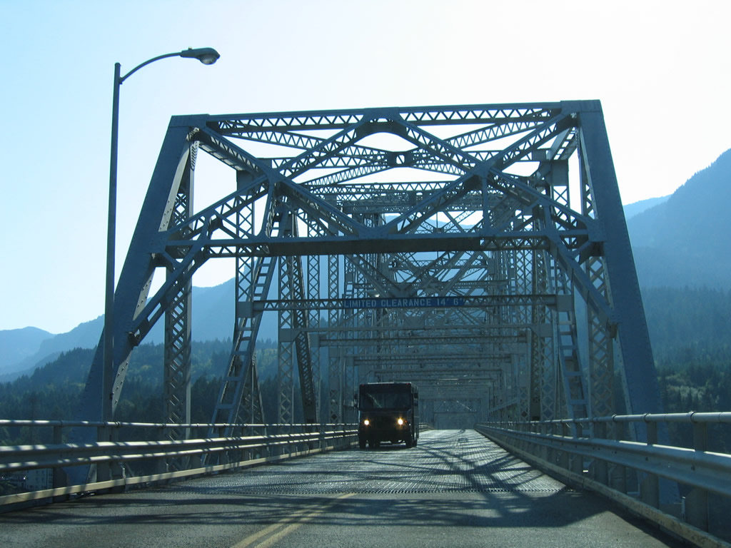
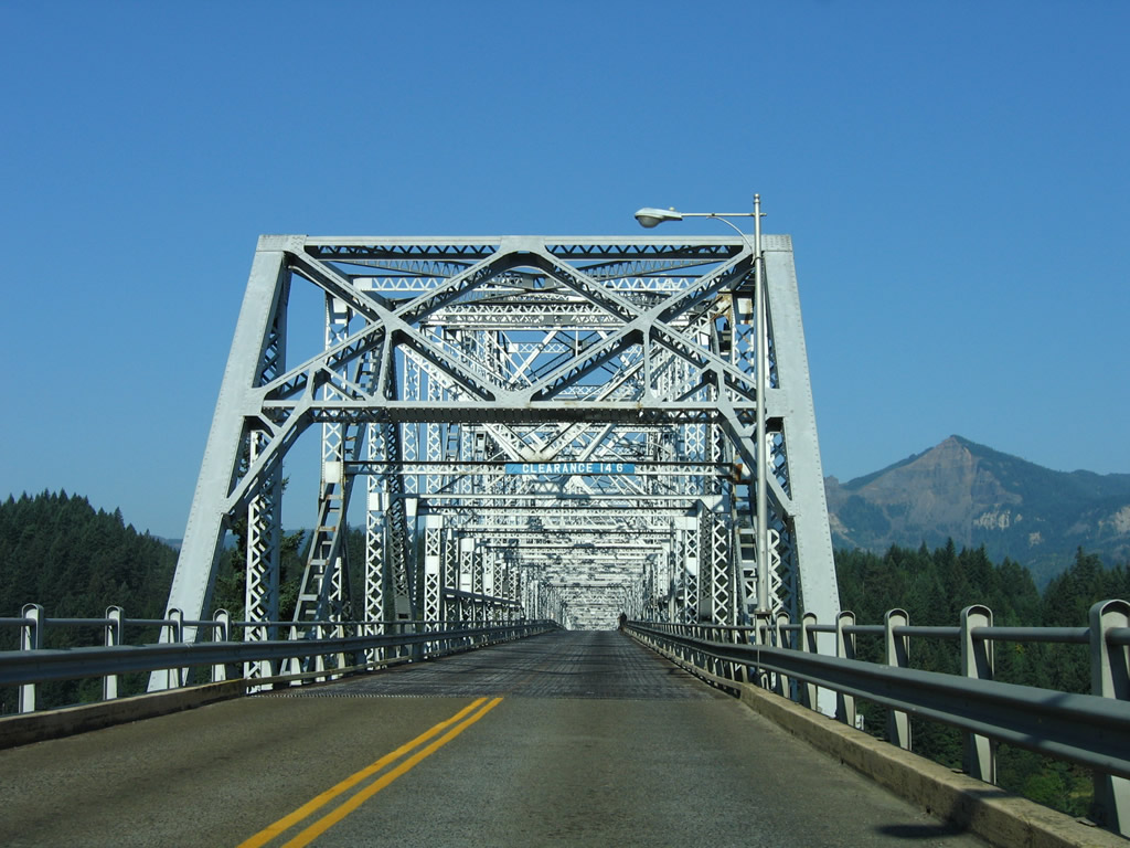
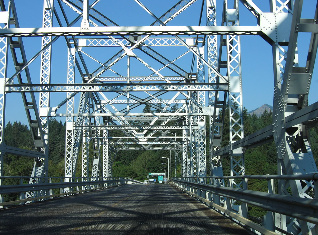
Approaching the Bridges of the Gods superstructure with the peaks of Green Point Mountain and Mount Defiance looming in the distance.
08/28/06
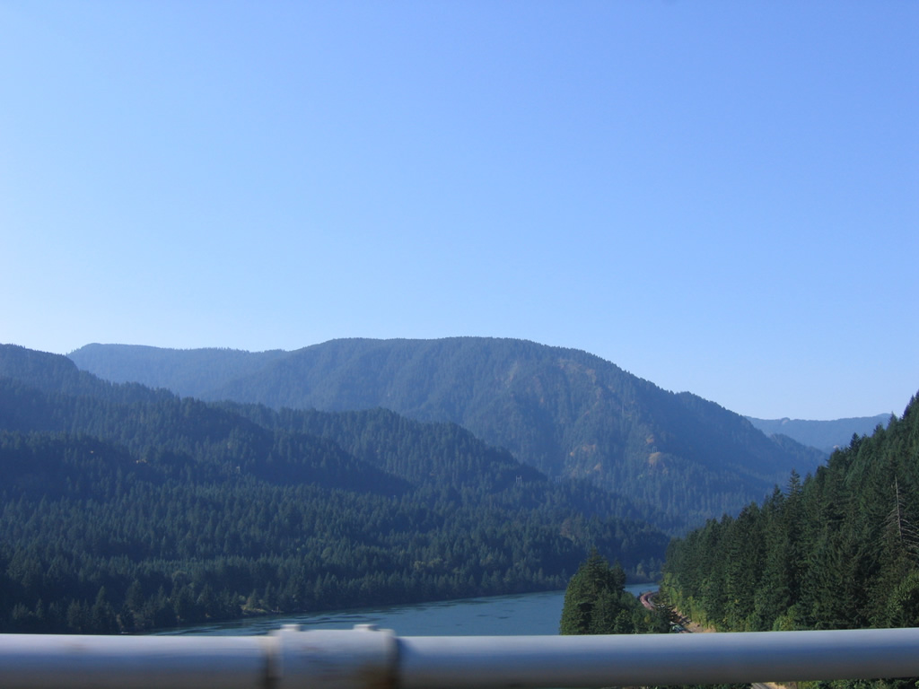
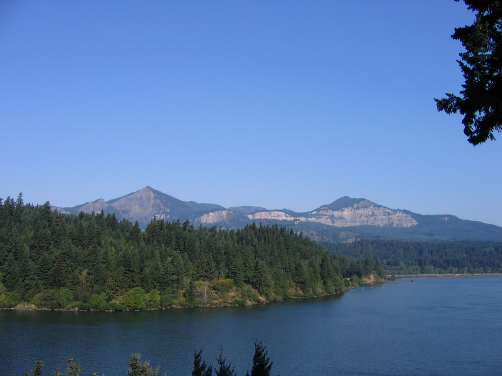
The north slopes of Tanner Butte appear beyond the valleys created by Ruckel and Eagle Creek to the immediate southwest of the Bridge of the Gods.
08/28/06
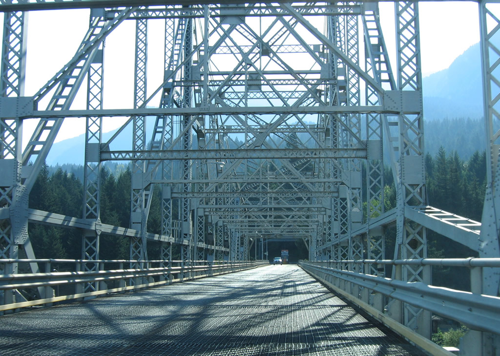
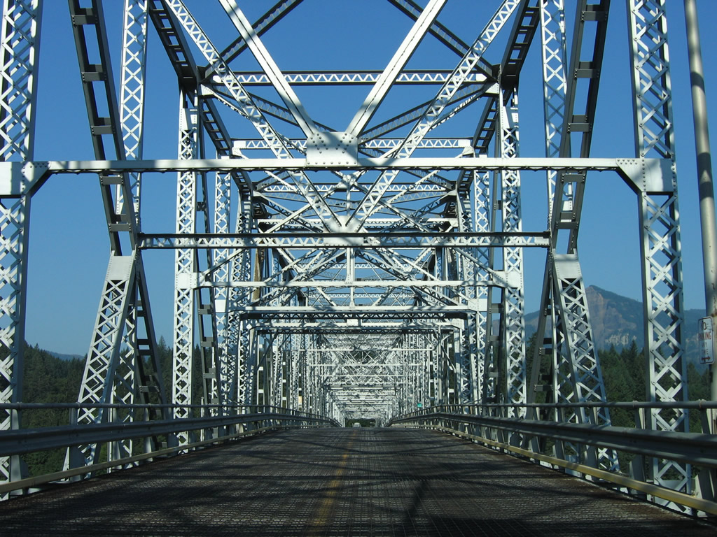
Entering the superstructure, which yields a 14 foot 6 inch clearance for truckers, above the Columbia River.
08/28/06
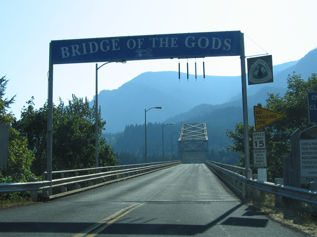
Crossing into Hood River County, Oregon, the Bridge of the Gods, drivers are just 0.4 miles from U.S. 30.
08/28/06
Lowering toward the toll collection point, the Bridge of the Gods is now within the Cascade Locks city limits.
08/28/06
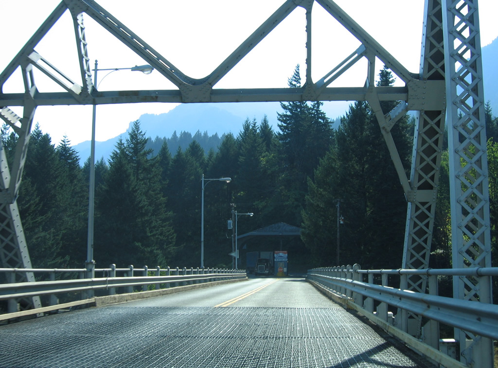
The Bridge of the Gods toll plaza lies just beyond the east bridge end.
08/28/06
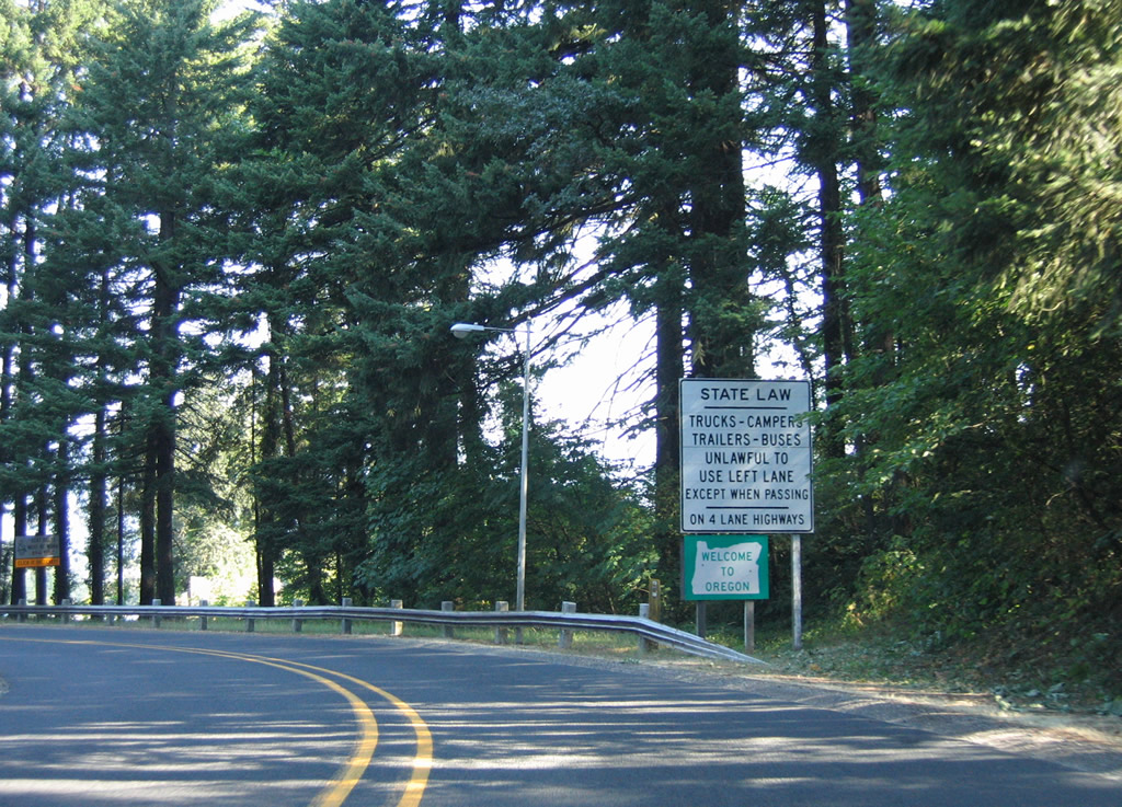
Welcome to Oregon sign posted after the toll canopy and Bridge of the Gods Trailhead.
08/28/06
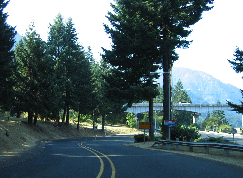
The access road from the bridge loops downward to intersect U.S. 30 adjacent to the span.
08/28/06
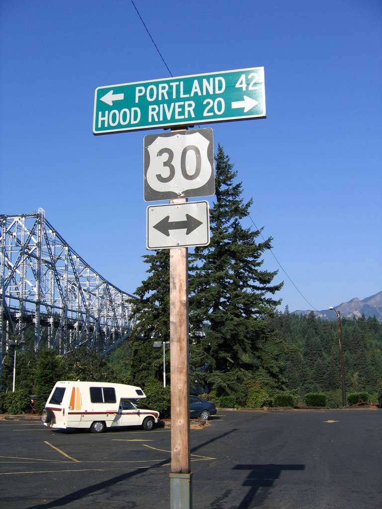
U.S. 30 acts as a business loop for Interstate 84 through Cascade Locks, traveling Wanapa Street northeast through the city to a wye interchange with I-84 east. Westbound merges onto I-84 nearby at a wye interchange for the 42 mile drive to Portland.
08/28/06
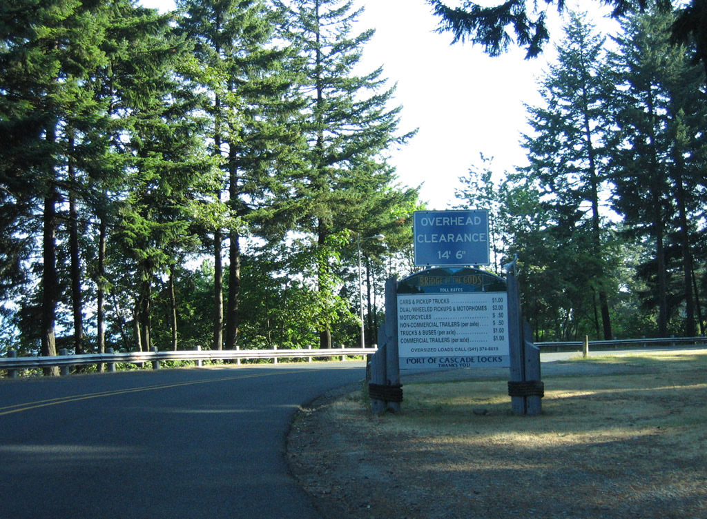
A loop road winds eastward from U.S. 30 at Cascade Locks to the toll collection point of the Bridge of the Gods. A sign advises motorists of a 14 feet 16 inch clearance and the toll rates to cross the Columbia.
08/28/06
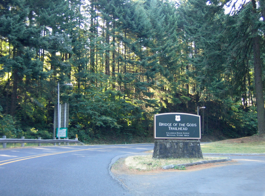
The Bridge of the Gods Trailhead for Pacific Crest Trail #2000 is next to the loop road ahead of the toll plaza.
08/28/06
A single toll booth collects fees for both directions of travel across the Bridge of the Gods.
08/28/06

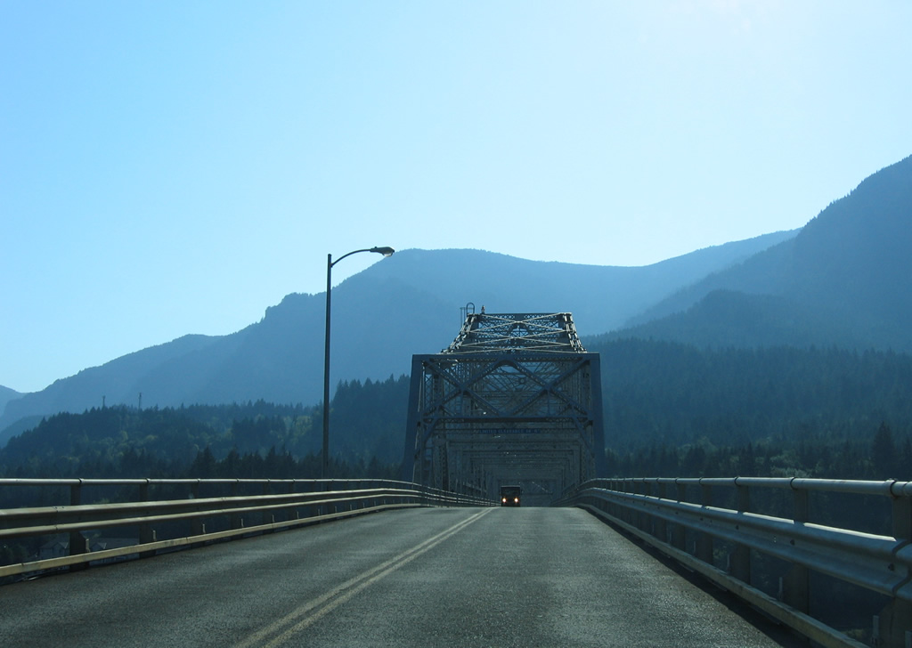
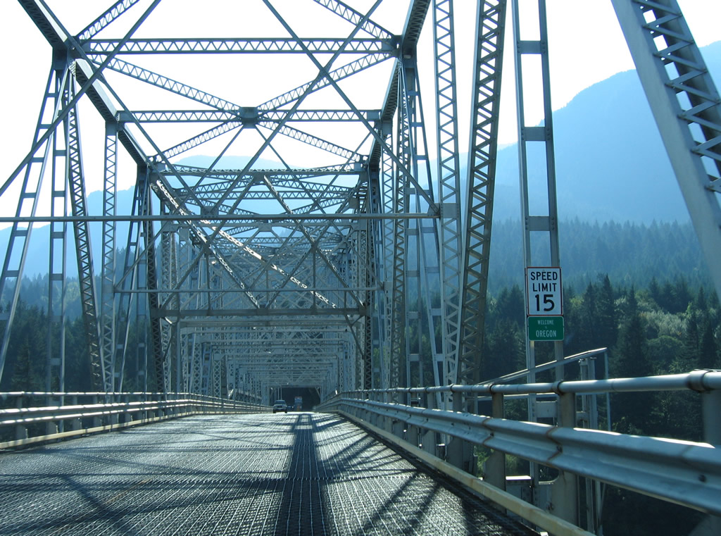
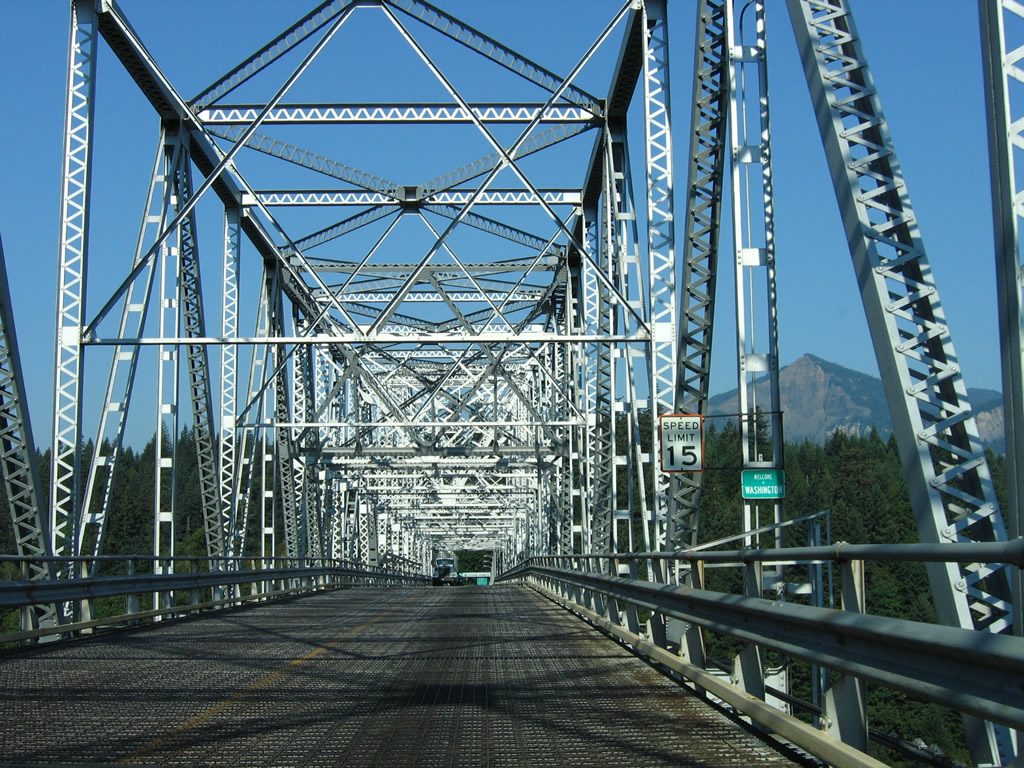
Table Mountain (3,417 feet) appears along the western horizon as motorists reach the deck of the Bridge of the Gods. Narrow travel lanes and a 15 mile per hour speed limit restrict passing on the crossing.
08/28/06
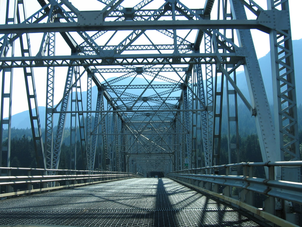
Cross members of the supporting truss prohibit most trucks from using the Bridge of the Gods.
08/28/06

A pair of hikers cross the Bridge of the Gods as it links Oregon with Washington along the Pacific Crest Trail.
08/28/06
A metal deck supports vehicles crossing the Columbia River on the Bridge of the Gods.
08/28/06
Entering Skamania County, Washington, approximately one third of the way across the Bridge of the Gods.
08/28/06
Approaching the west end of the superstructure of the cantilever bridge.
08/28/06
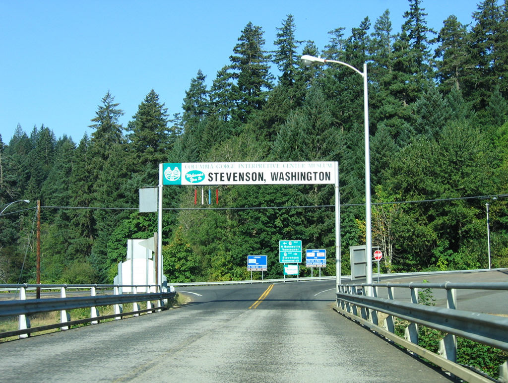
The Bridge of the Gods ends to the west at Washington 14, south of Ashes Lake and the town of Stevenson. Washington 14 lines the Columbia River east from Vancouver, 180 miles to Interstate 82 near Plymouth. The route replaced U.S. 830 when it was decommissioned in 1968.
08/28/06
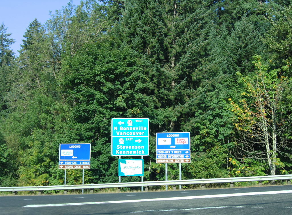
Washington 14 travelers a short distance east to 2nd Street through Stevenson. Westward the route continues to the nearby city of North Bonneville.
08/28/06
Photo Credits:
- AARoads: 08/28/06
Connect with:
Page Updated Wednesday June 12, 2013.