
Collier County Road 29
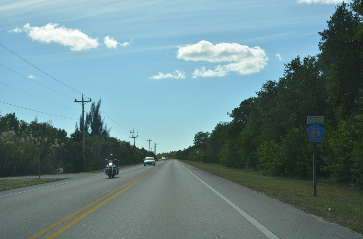
Heading south from U.S. 41 (Tamiami Trail) and SR 29 along County Road 29 at Carnestown.
11/26/16
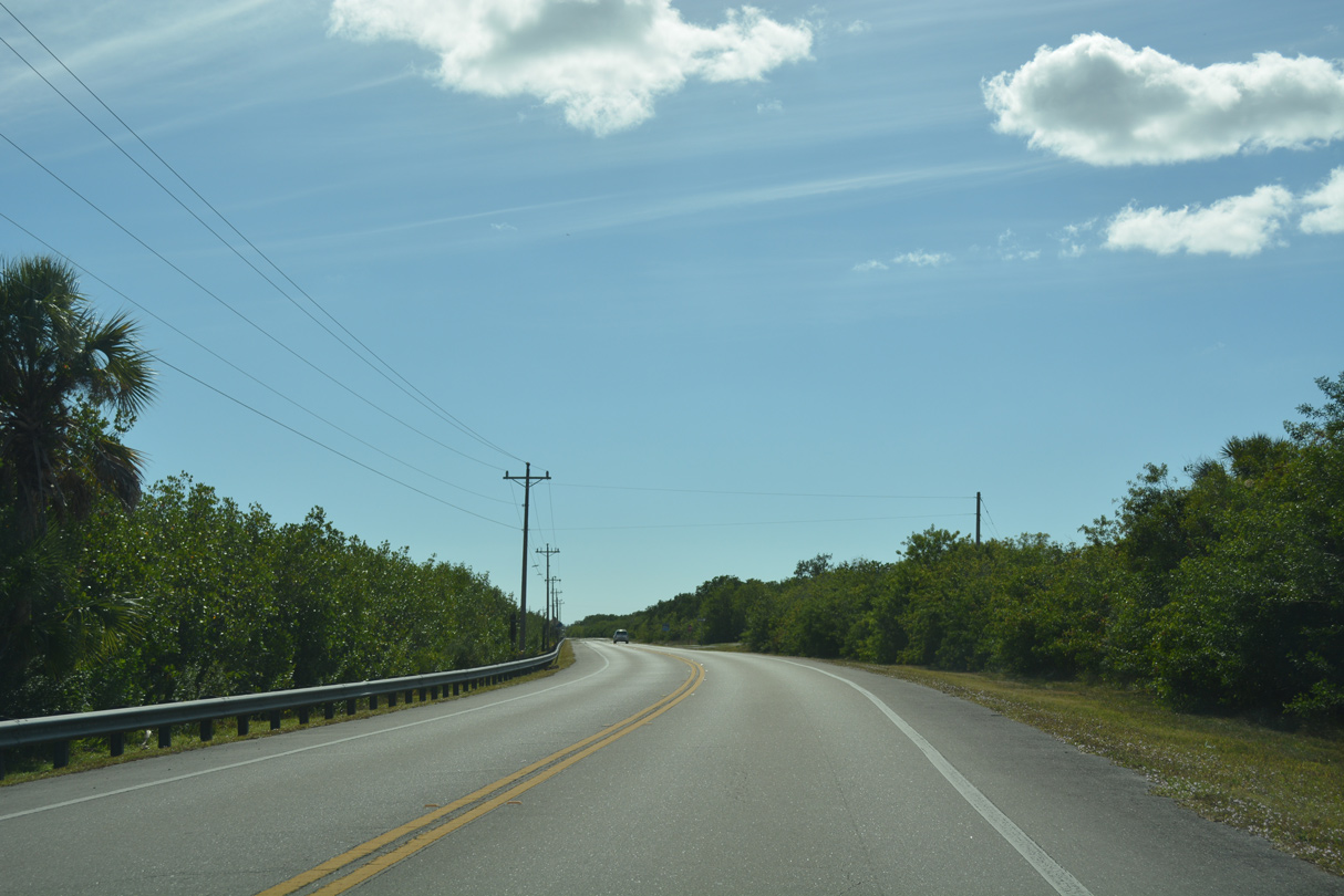
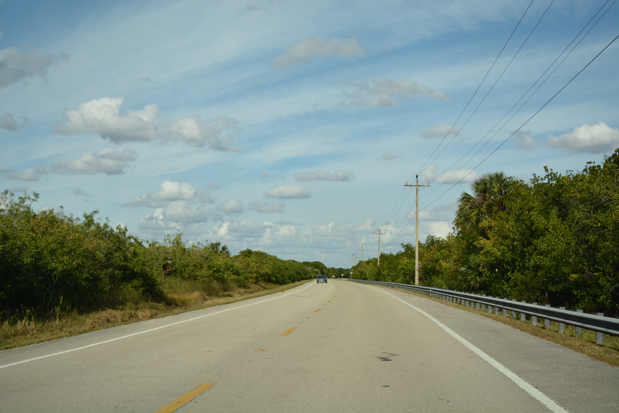
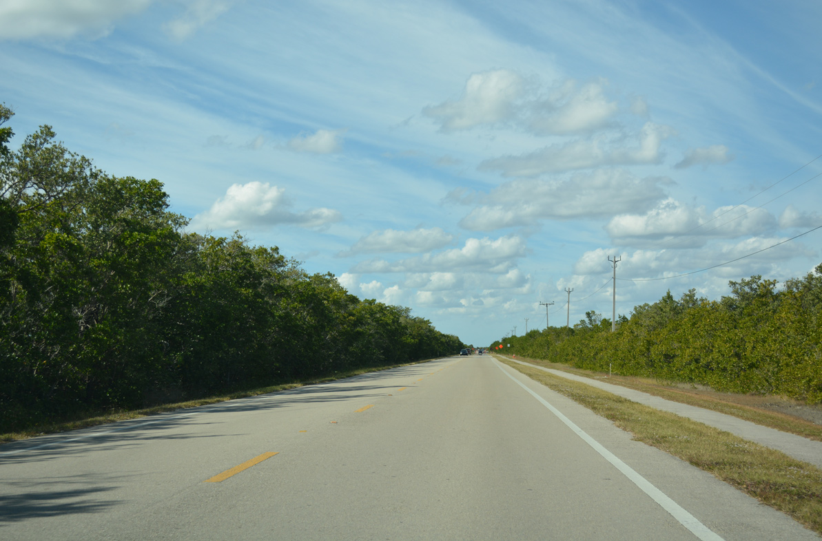
CR 29 runs along the boundary of Big Cypress National Preserve on the 2.8 mile drive from Tamiami Trail to Everglades City.
11/26/16
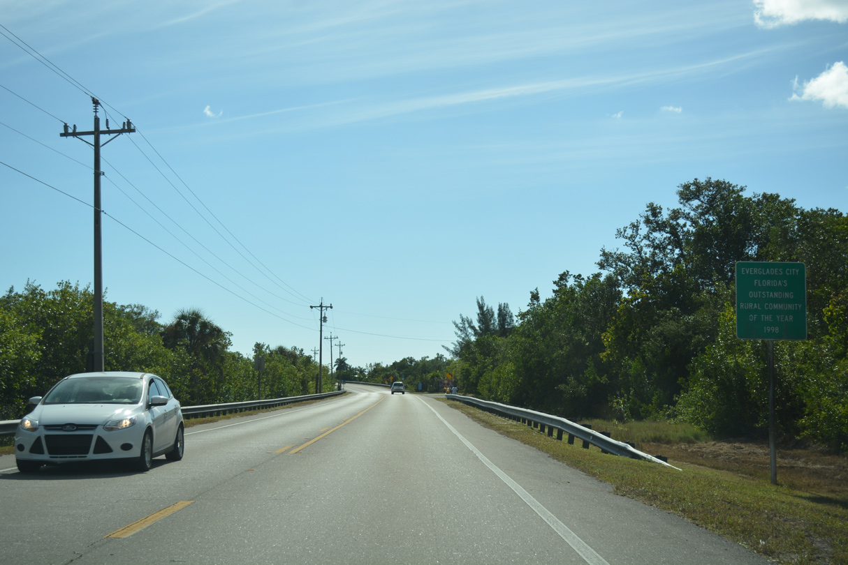
Entering the Everglades City limits, CR 29 south becomes Collier Avenue.
11/26/16
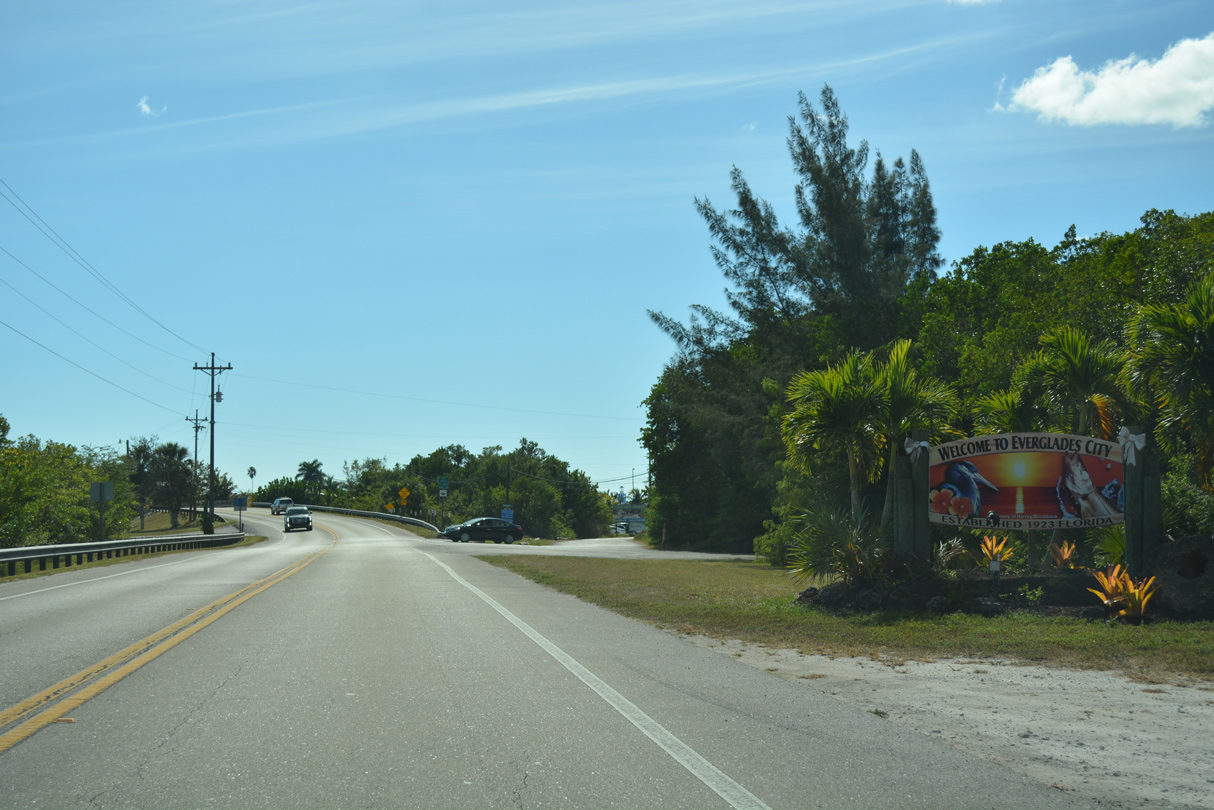
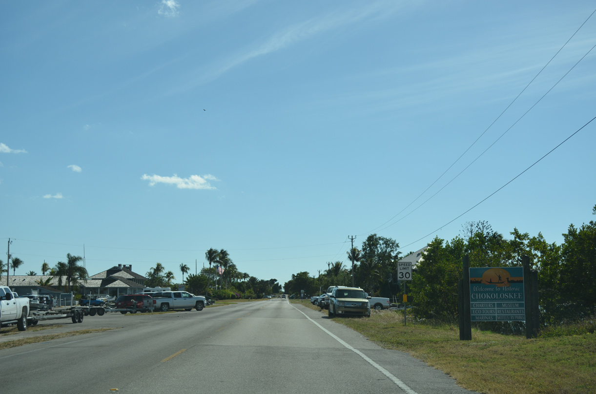
Dupont Street spurs southwest to a handful of businesses along the Barron River beyond the Everglades City welcome sign.
11/26/16
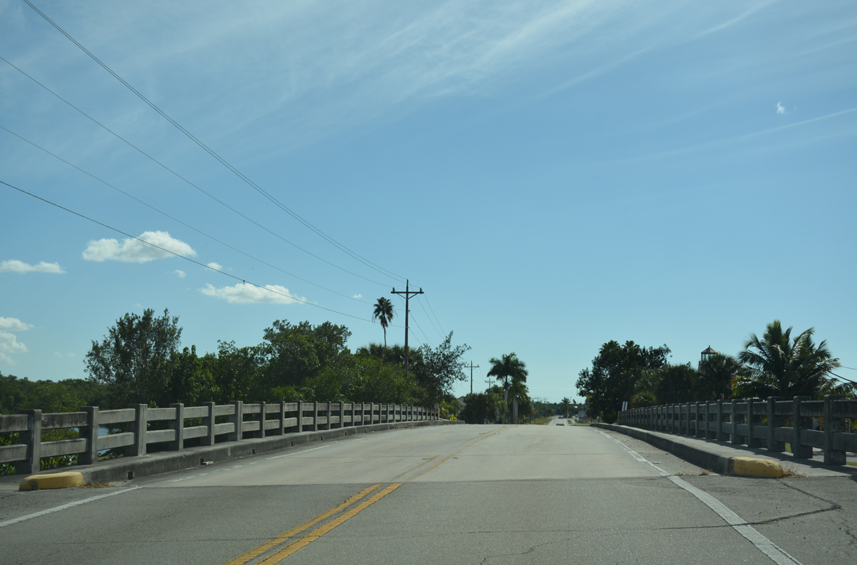
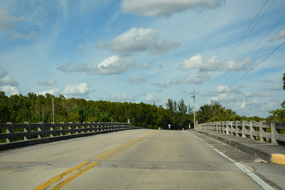
The bridge taking CR 29 (Collier Avenue) over the Barron River was built in 1964.
11/26/16
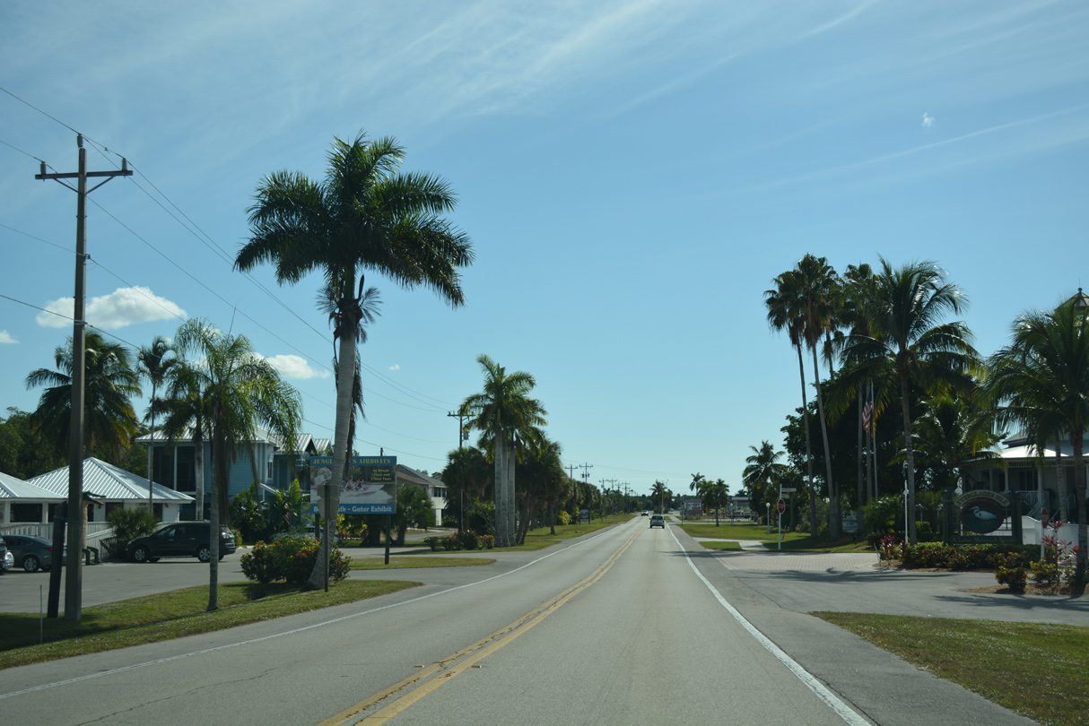
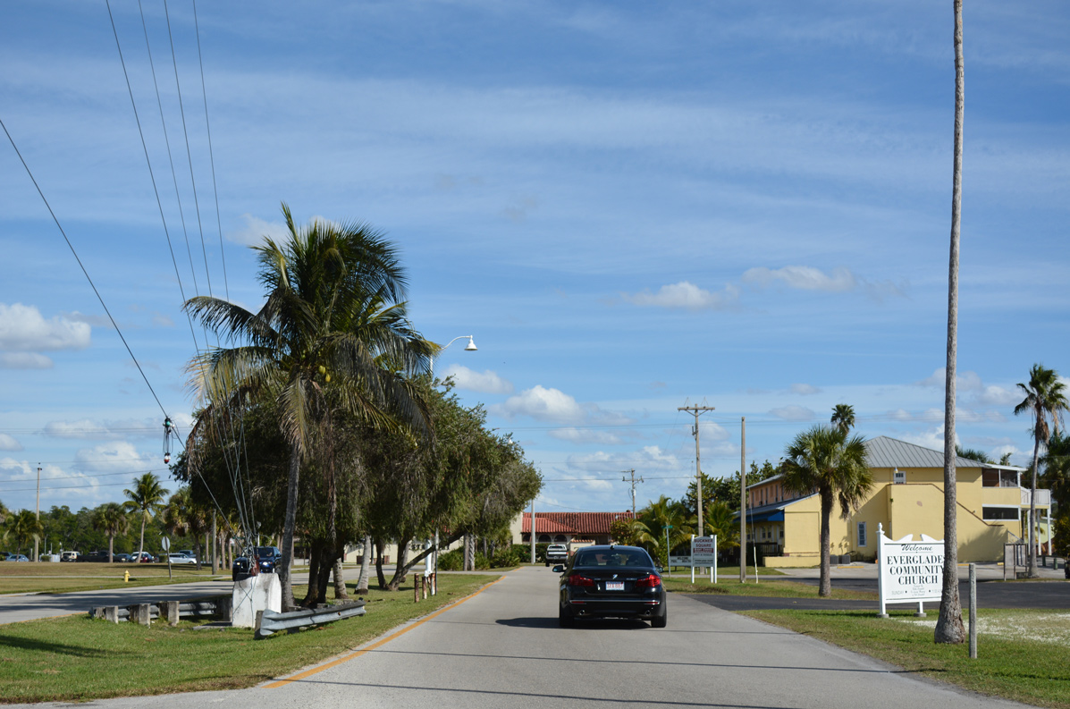
Proceeding south along Collier Avenue into Everglades City.
11/26/16
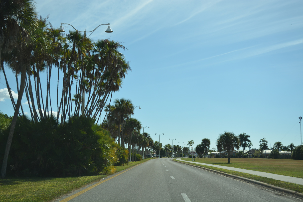
Collier Avenue expands into a tree lined boulevard at Camellia Street.
11/26/16
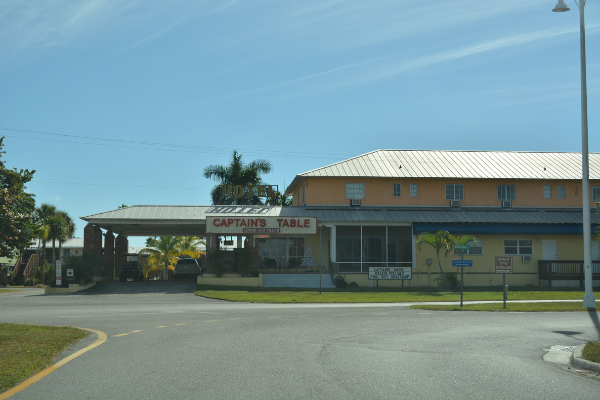
SR 29 curves west from Collier Avenue onto Broadway Avenue.
11/26/16
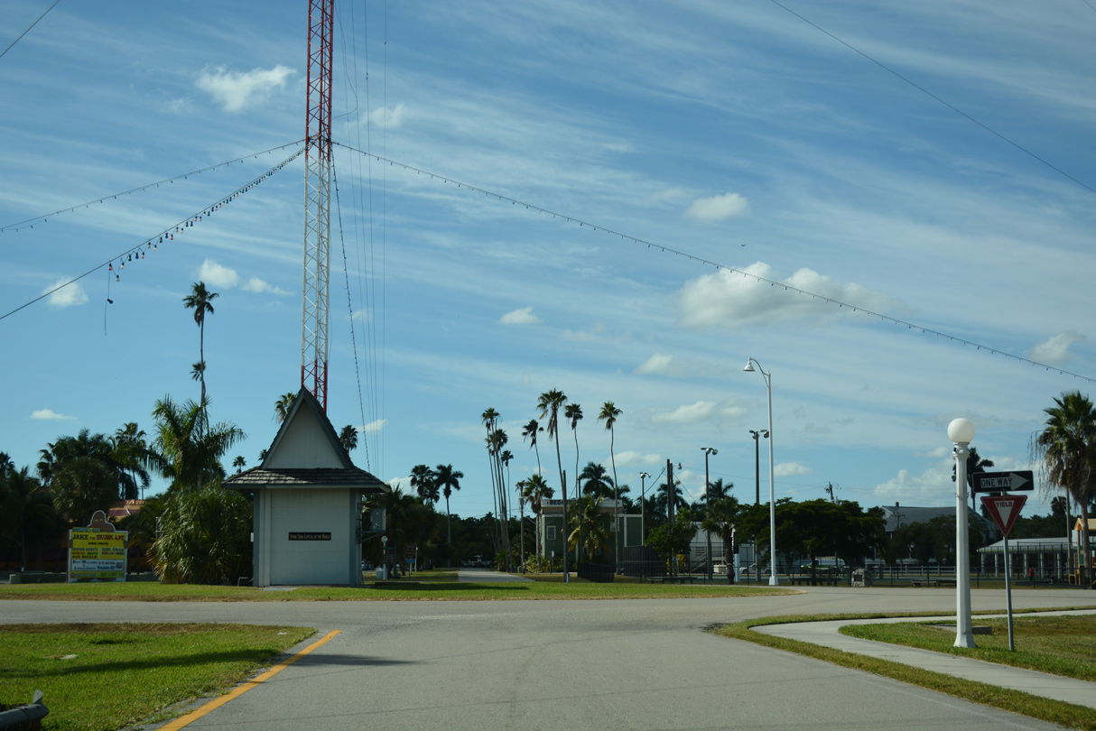
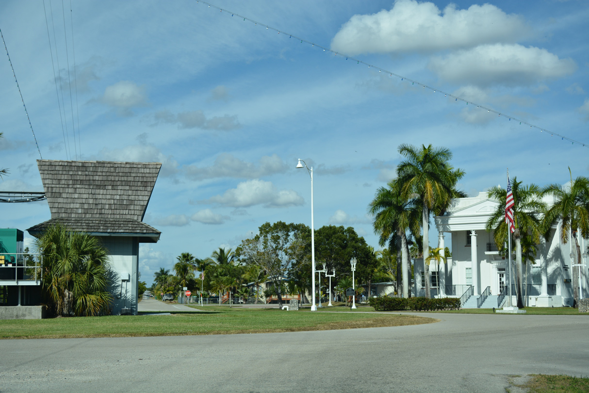
Broadway Avenue leads two blocks west into a traffic circle with Copeland Avenue by Everglades City Hall.
11/26/16
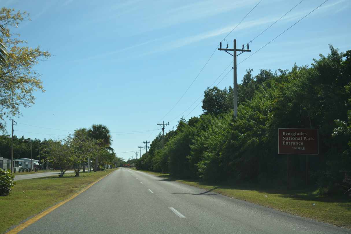
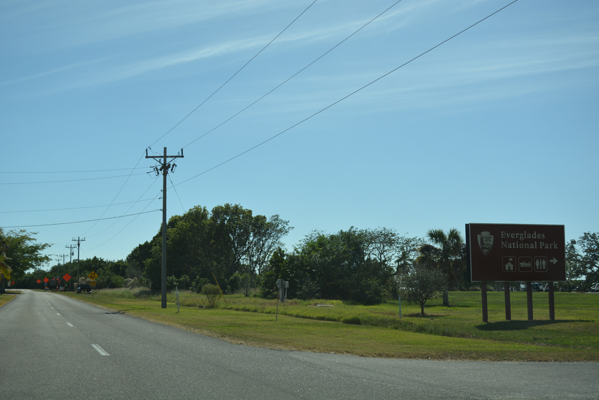
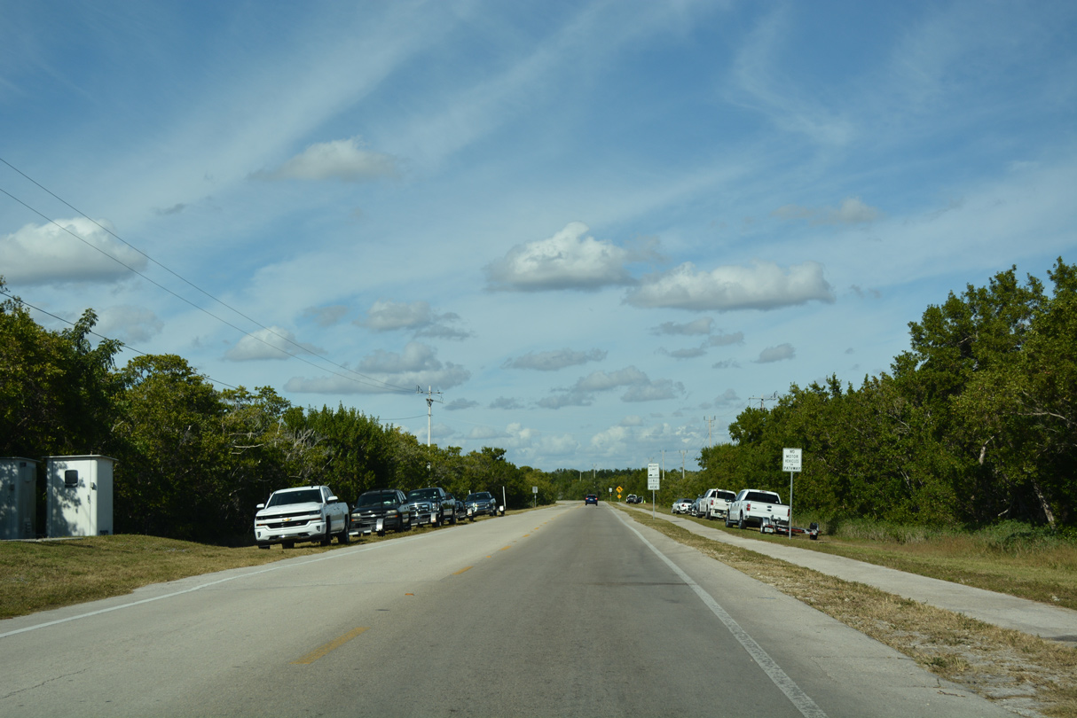
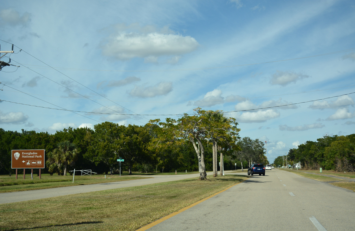
The entrance to Everglades National Park lies one quarter mile south of E.C. Airpark Road on CR 29 (Copeland Avenue).
11/26/16
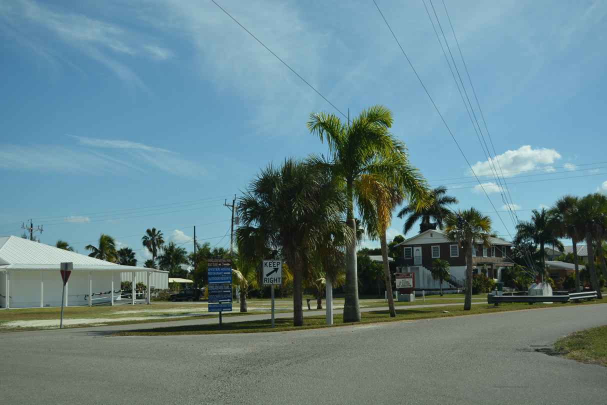
Oyster Bar Lane connects CR 29 with Everglades National Park and the Gulf Coast Visitor Center.
11/26/16

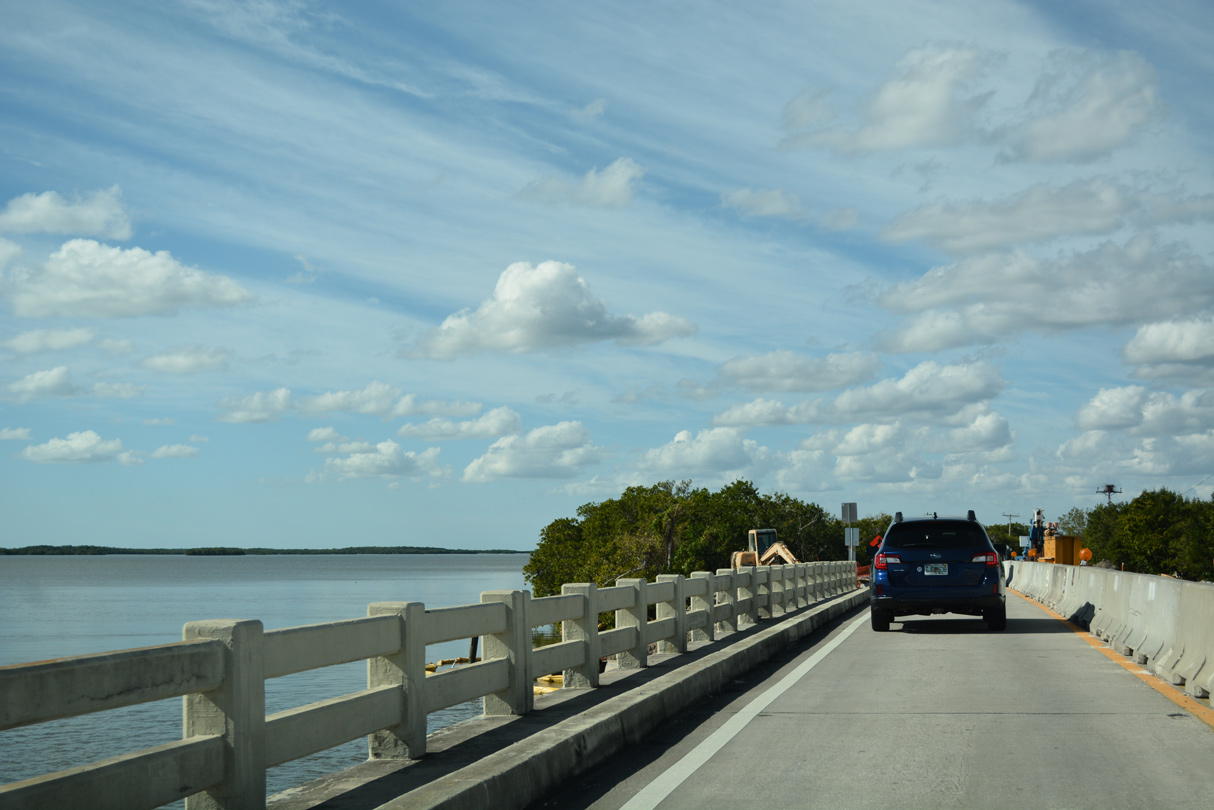
The bridge crossing Chokoloskee Bay along CR 29 was replaced in 2017.
11/26/16
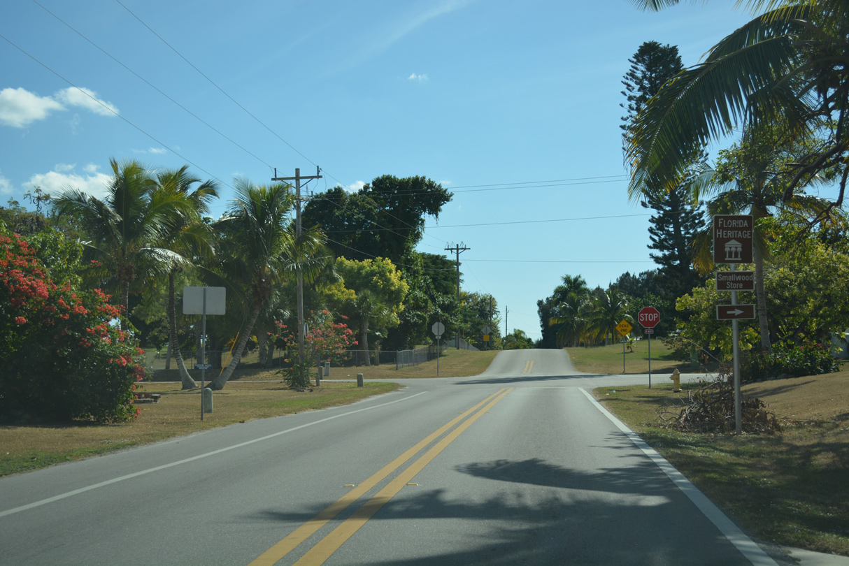
CR 29 (Smallwood Drive) navigates along a causeway leading into the unincorporated community of Chokoloskee.
11/26/16
CR 29 concludes at Smallwood Drive and Demere Lane on Chokoloskee Island.
11/26/16
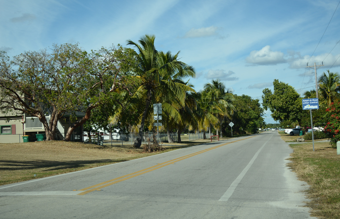
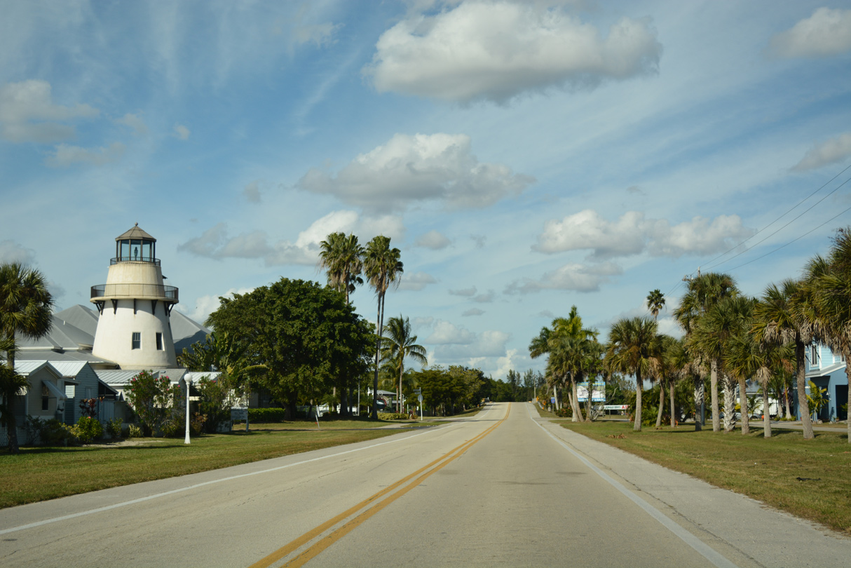
Smallwood Drive extends to the south end of Chokoloskee Island at Lighthouse Park.
11/26/16
Lane striping begins along Smallwood Drive north at Chokoloskee Drive. County Road 29 commences a short distance ahead, but is not signed.
11/26/16
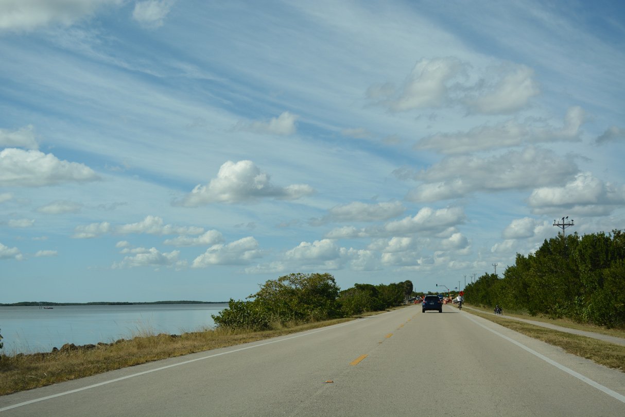
Leaving the community of Chokoloskee, CR 29 (Smallwood Drive) follows a narrow causeway alongside the shallow waters of Chokoloskee Bay.
11/26/16
Construction finished in 2017 replaced the vintage bridge spanning the Chokoloskee Bay inlet to Plantation Island.
11/26/16
Heading north into Everglades City, CR 29 (Copeland Avenue) intersects Oyster Bay Lane at Everglades National Park.
11/26/16
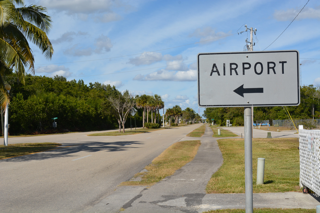
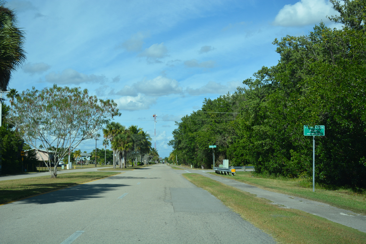
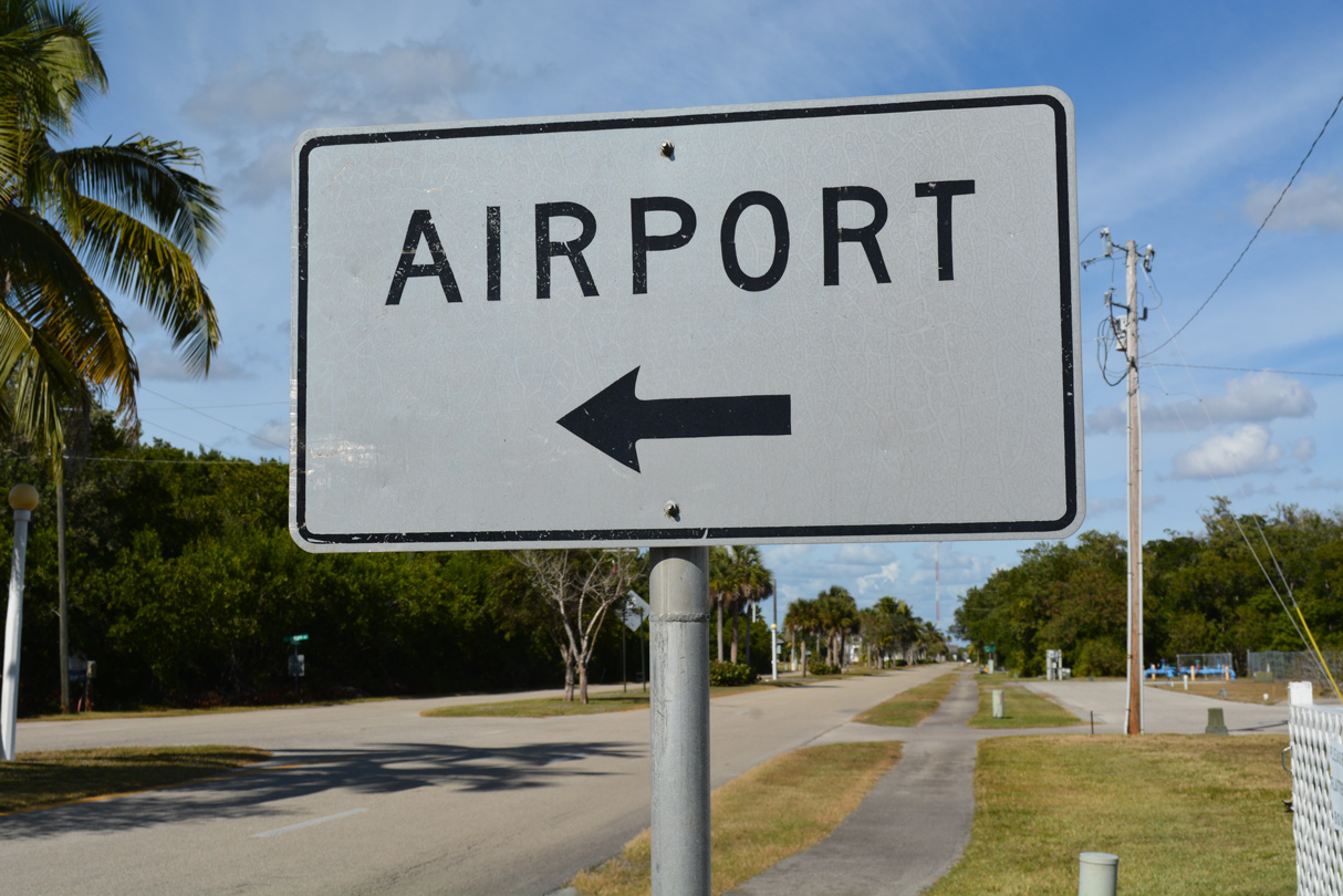
A vintage white guide sign references Everglades Airpark (X01), located just west of CR 29 along E.C. Airpark Road.
11/26/16
Plantation Parkway spurs east from Copeland Avenue in Everglades City.
11/26/16
Copeland Avenue leads CR 29 north to a traffic circle with Broadway Avenue in central Everglades City.
11/26/16
CR 29 dog legs east two blocks on Broadway Avenue to Collier Avenue north.
11/26/16
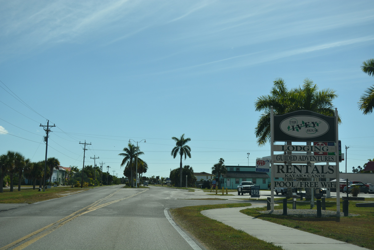
Advancing to the north end of Everglades City along CR 29 (Collier Avenue) at Riverview Lane.
11/26/16
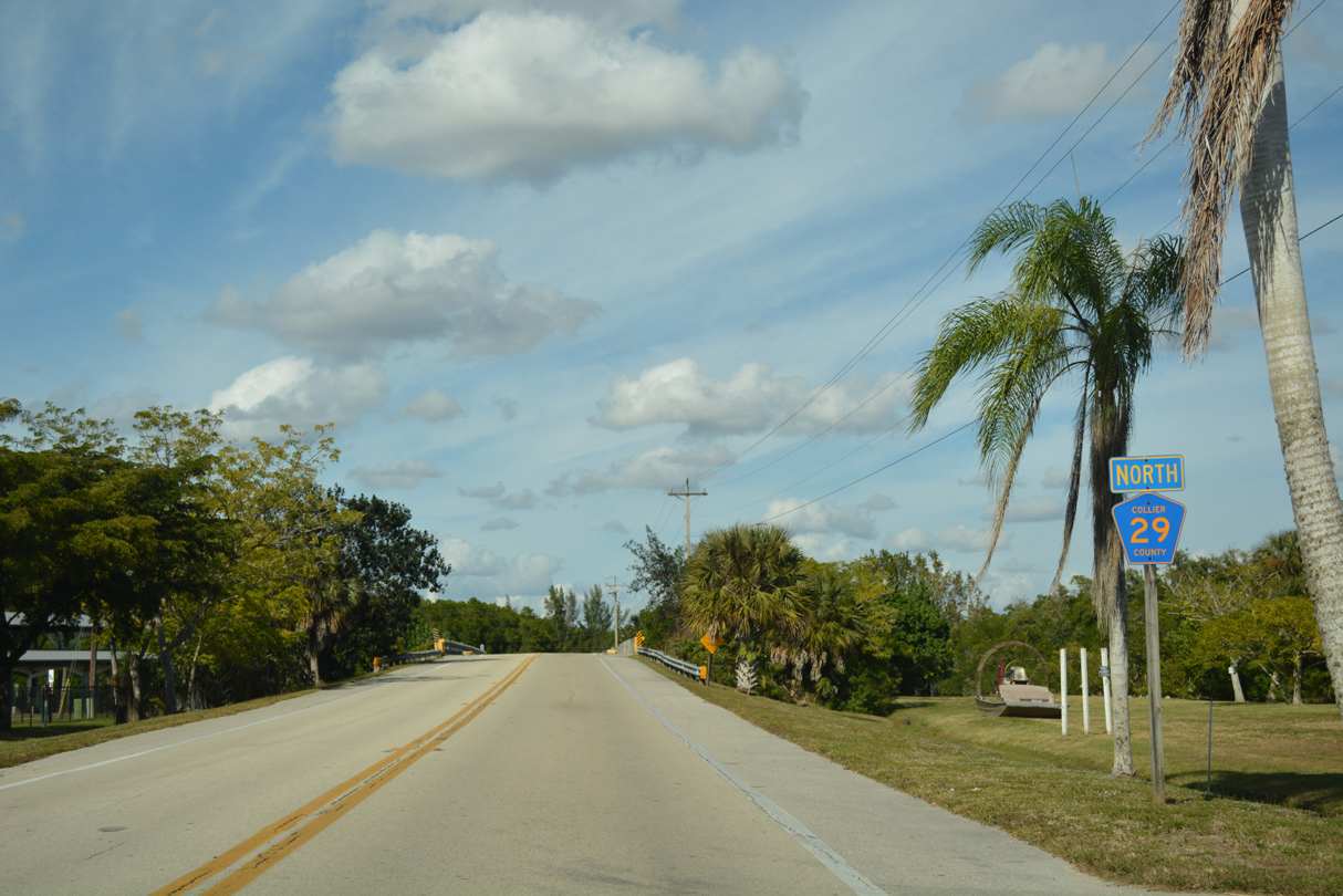
The first reassurance marker for Collier County Road 29 precedes the bridge across the Barron River.
11/26/16
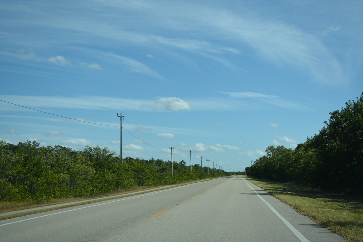
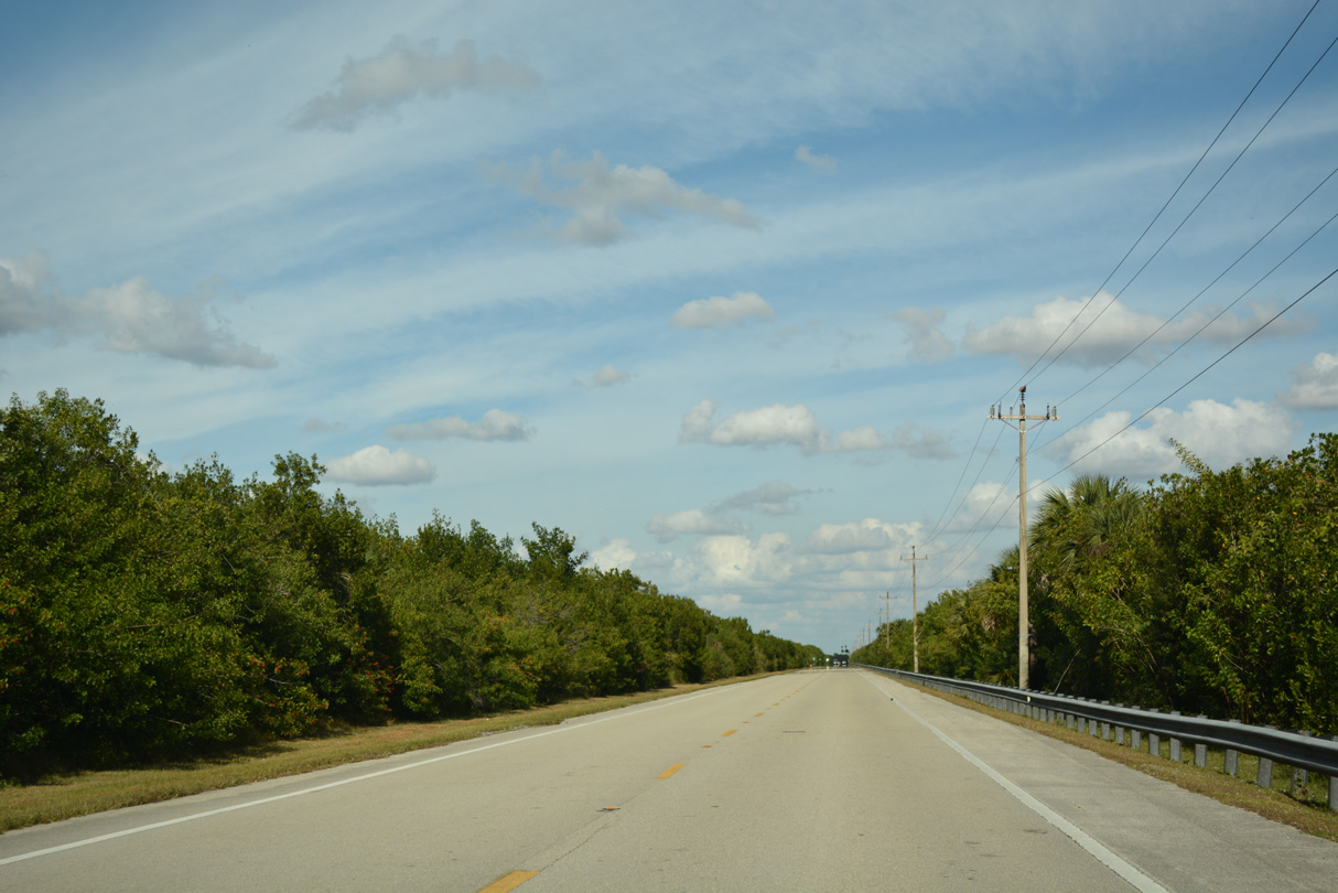
CR 29 transitions to a rural highway northward from Everglades City along Big Cypress National Preserve.
11/26/16
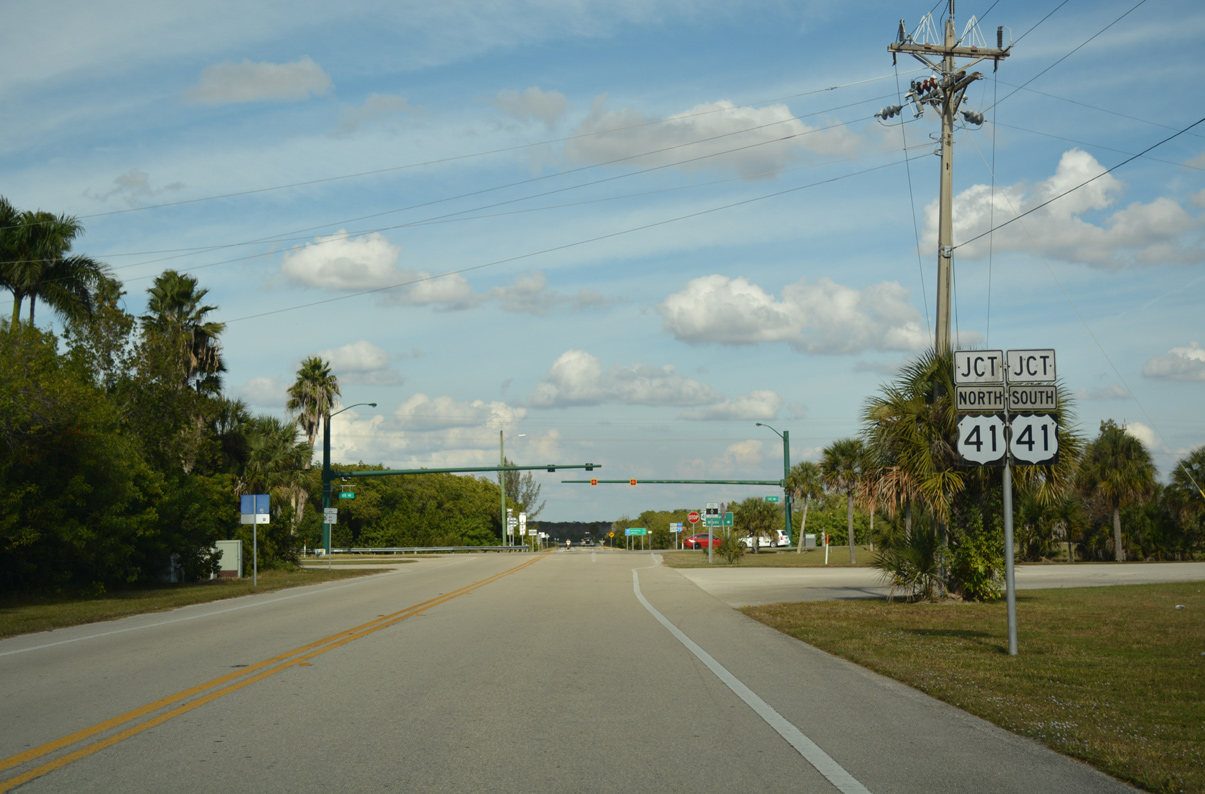
CR 29 reaches the settlement of Carnestown and junction with U.S. 41 (Tamiami Trail).
11/26/16
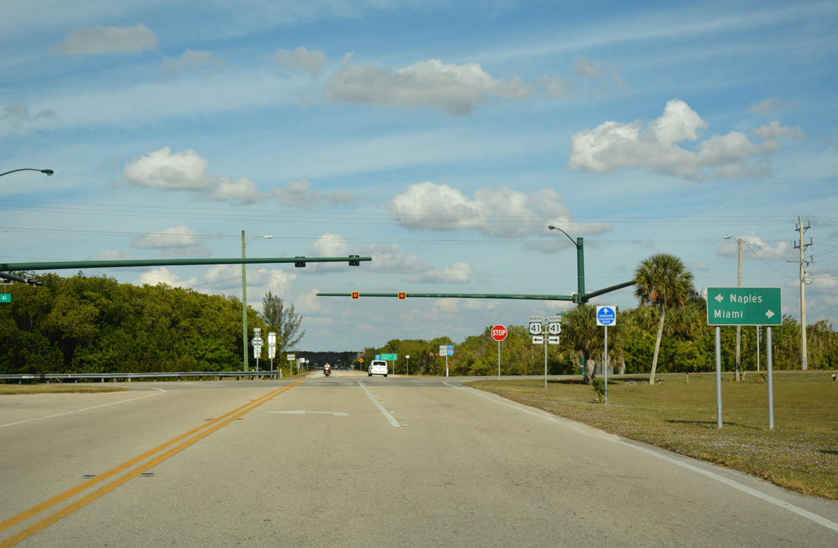
Tamiami Trail traverses the Florida Everglades east from CR 29 and SR 29 at Carnestown to urban Miami-Dade County.
11/26/16
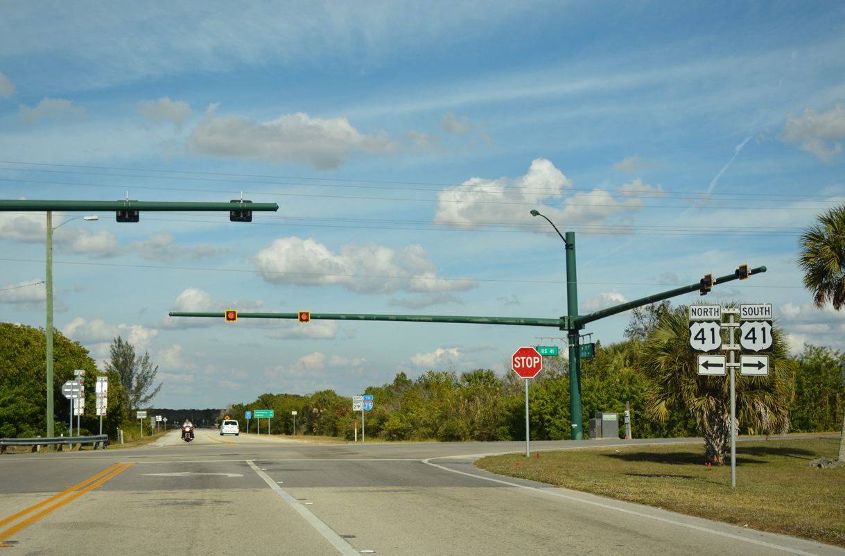
U.S. 41 northbound continues through areas of protected lanes toward suburban areas north of Marco Island and southeast of Naples. State Road 29 commences a 75.82 mile course to Immokalee, LaBelle and Glades County from the ending CR 29.
11/26/16
Photo Credits:
- ABRoads: 11/26/16
Connect with:
Page Updated Wednesday November 27, 2019.