
Collier County Road 29A - New Market Road
County Road 29A forms the hypotenuse of the triangle formed with State Road 29 along Main Street and 15th Street through the unincorporated community of Immokalee. Originally established in 1958 as a secondary state road (S-29A), CR 29A follows New Market Road north from E Main Street near Immokalee Regional Airport to a commercial strip extending northwest from 9th Street to Glades Street. The 2.23 mile long route returns to SR 29 across from Westclox Street.
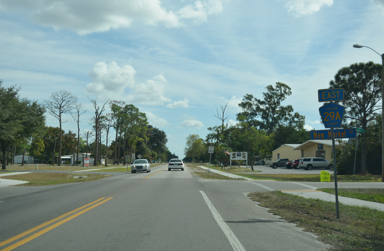
A confirming marker for CR 29A appears at New Market Road and Pinellas Street, just off SR 29 (N 15th Street). The ensuing street grid southeast to Alachua Street is in alphabetical order.
11/26/16
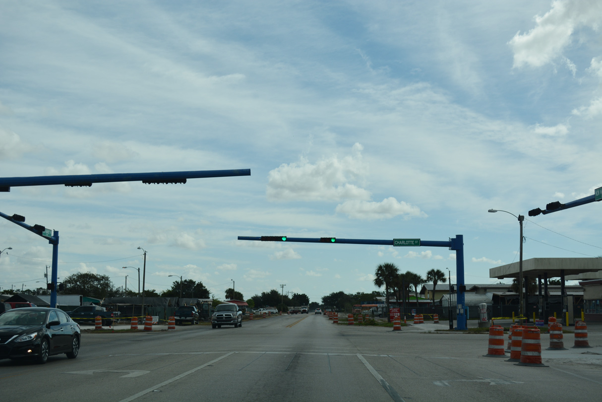
New Market Road intersects Charlotte Street at a traffic light. Charlotte Street connects CR 29A with Immokalee Drive west to Immokalee High School and 1st Street south to CR 846 west.
11/26/16
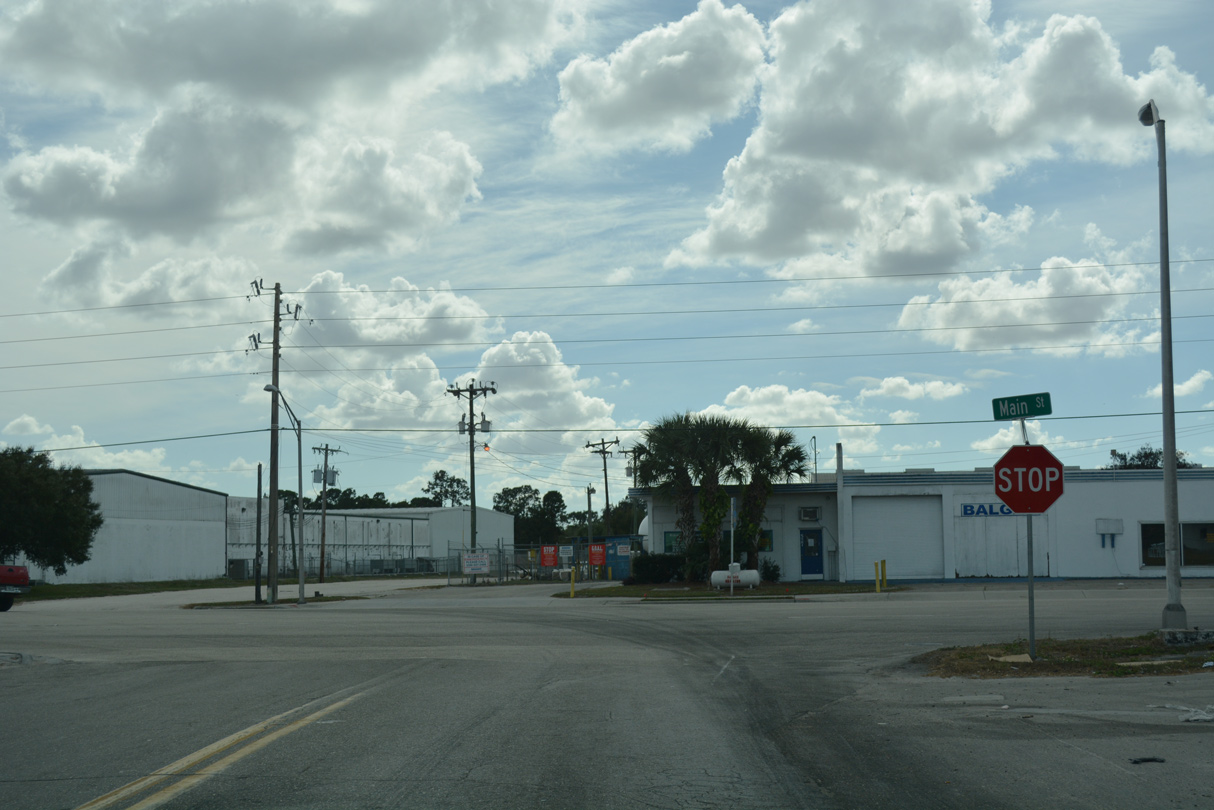
CR 29A east concludes at an unmarked intersection with SR 29 (E Main Street). SR 29 splits with CR 846 nearby.
11/26/16
CR 29A (New Market Road) leaves the Immokalee residential street grid ahead of SR 29 (N 15th Street).
11/26/16
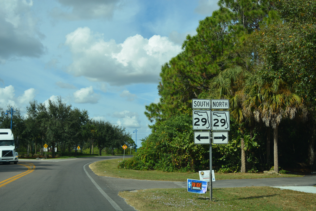
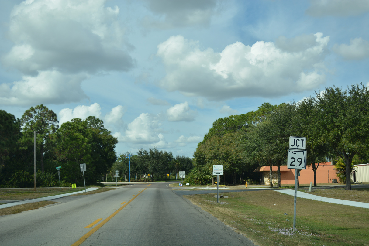
State Road 29 runs along the west side of Immokalee south to Main Street. Heading north, SR 29 continues to Felda and La Belle in Hendry County.
11/26/16

Westclox Street extends west from New Market Road one mile to residential areas at Carson Road.
11/26/16
Photo Credits:
- ABRoads: 11/26/16
Connect with:
Page Updated Wednesday November 27, 2019.