
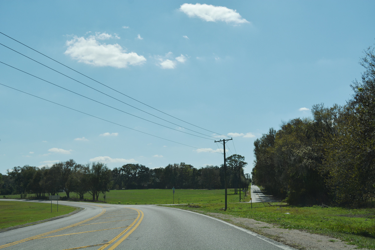
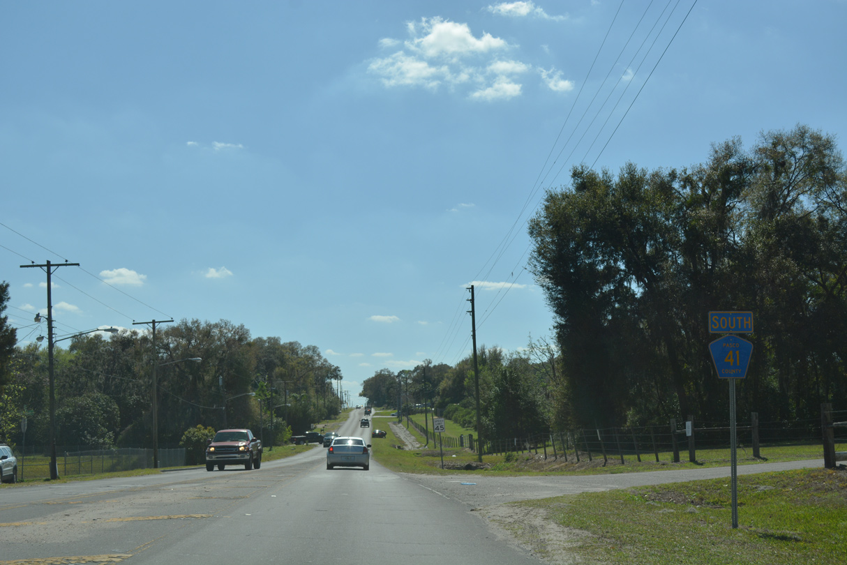
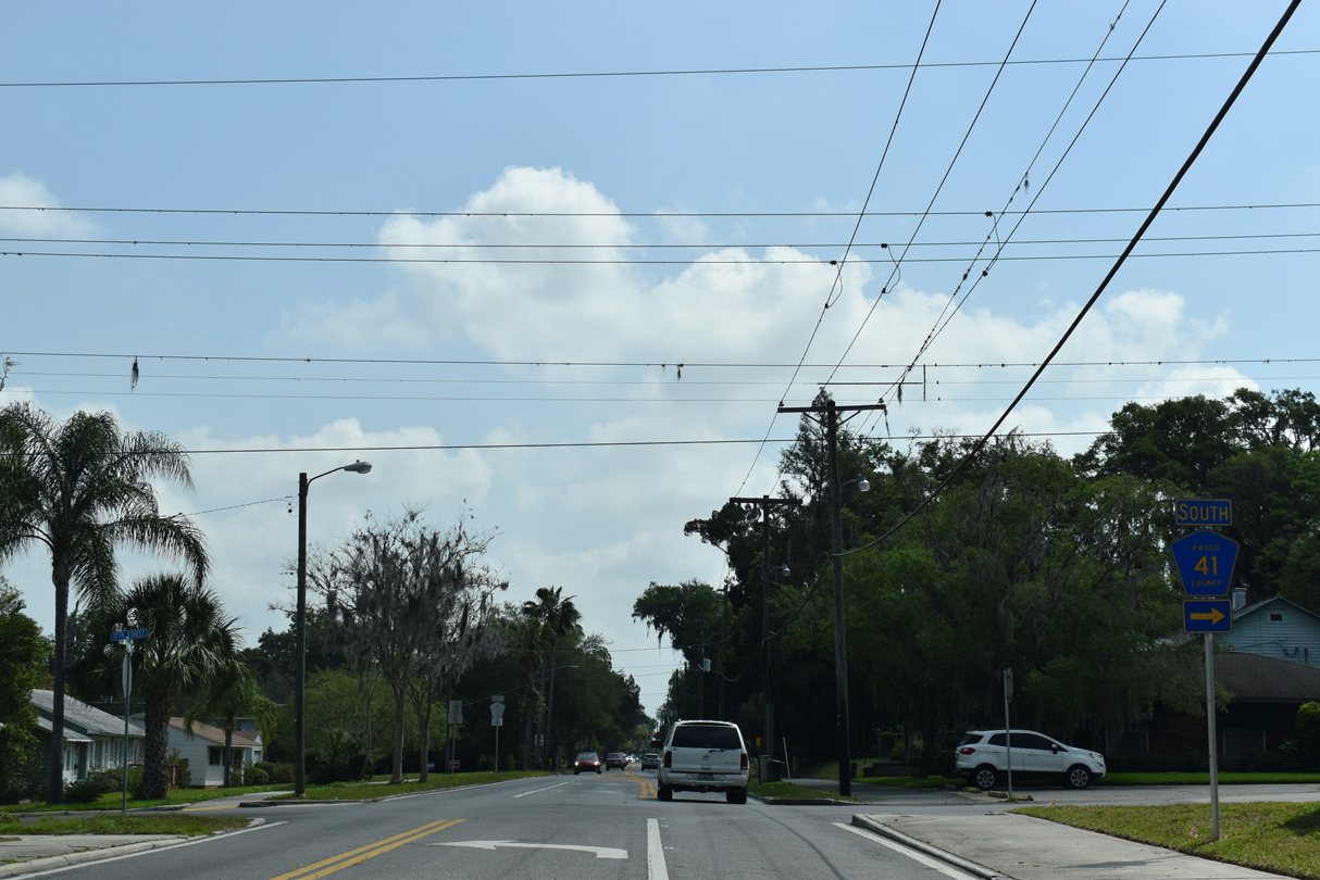
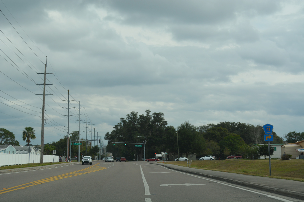
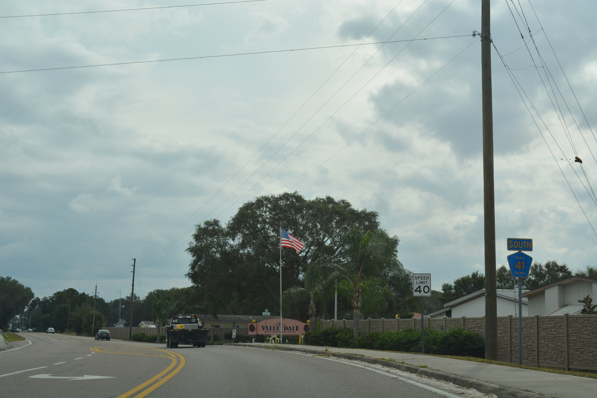
County Road 41/541 South

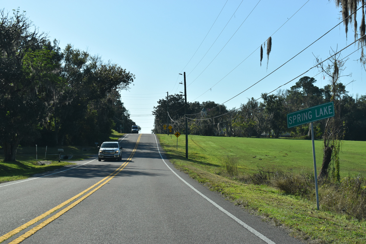
CR 541 (Spring Lake Highway) heads two miles south from U.S. 98/SR 50 at CR 484 (Mondon Hill Road) to the rural community of Spring Lake.
12/13/21
12/13/21
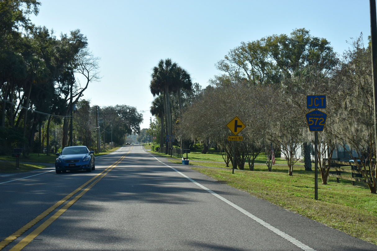
CR 572 (Powell Road) stems west from CR 541 8.69 miles to U.S. 41 (Broad Street) en route to Spring Hill.
12/13/21
12/13/21
12/13/21
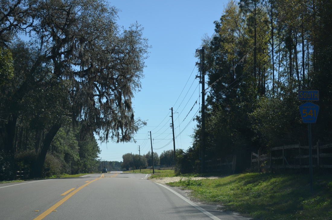
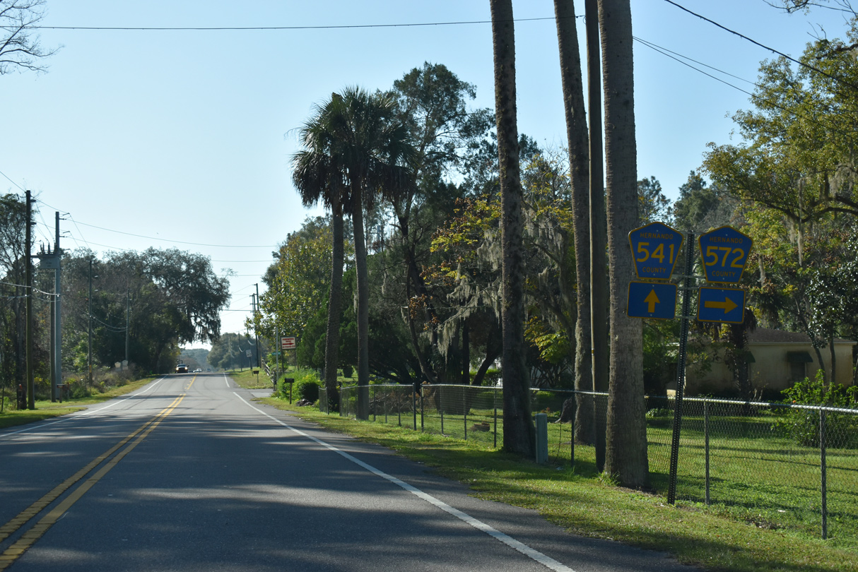
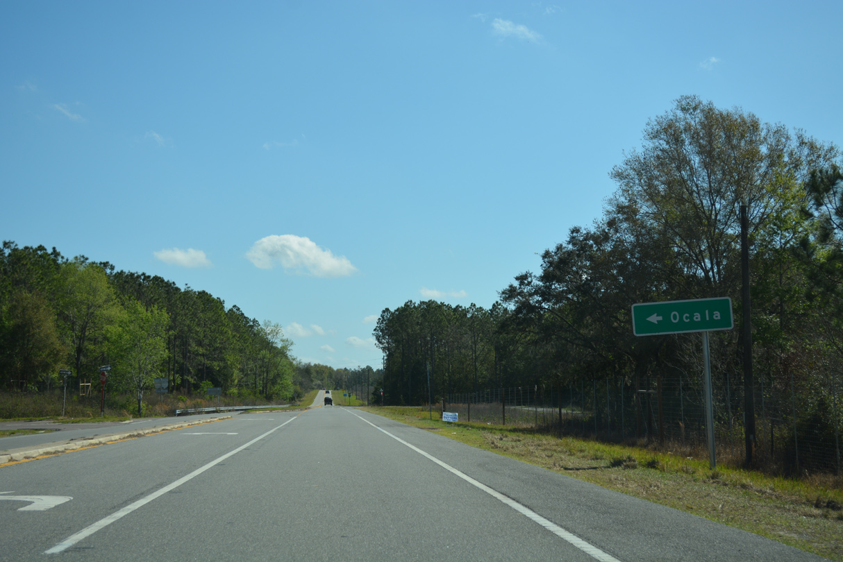
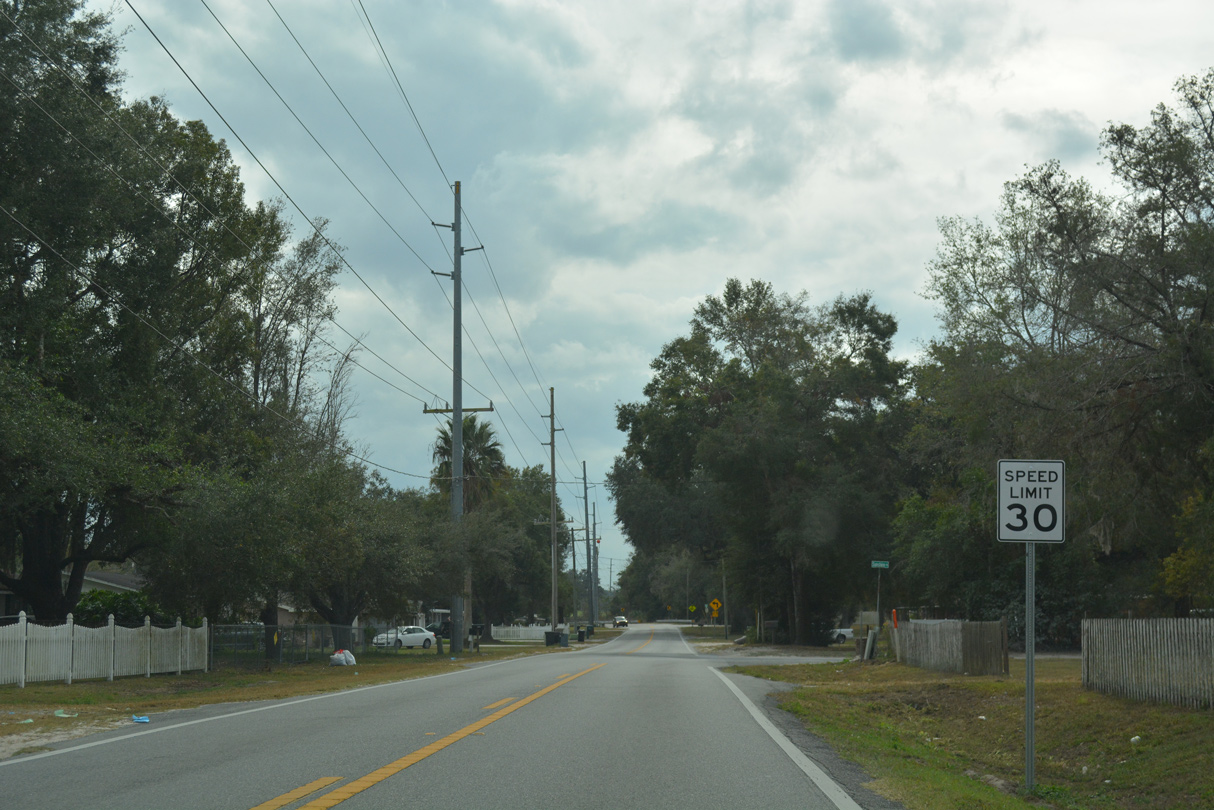
Confirming marker posted south of CR 572 (Powell Road) on CR 541 (Spring Lake Highway) at Spring Lake.
02/17/14
02/17/14
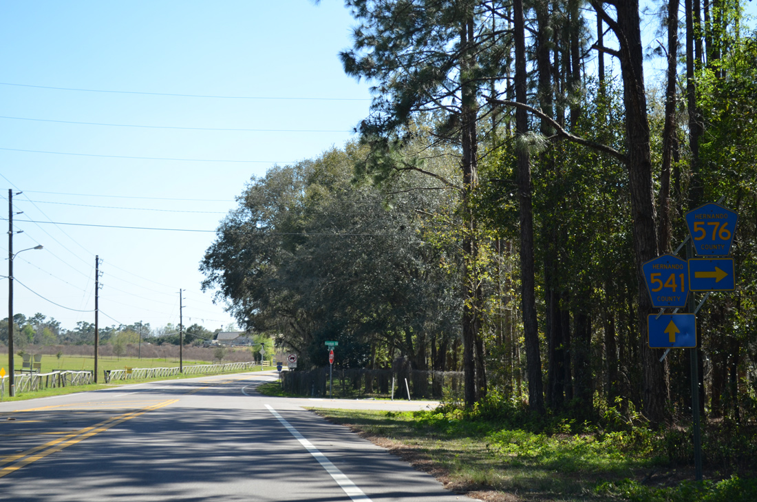
CR 576 (Hayman Road) west follows a stair stepped route 10.17 miles west from CR 541 (Spring Lake Highway) to U.S. 41 between Masaryktown and Ayers.
02/17/14
02/17/14
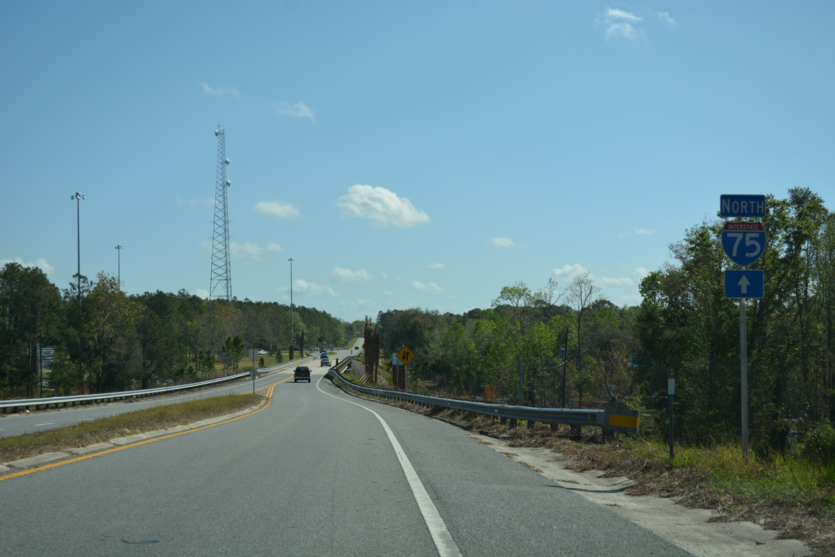
CR 41 turns east from Lake Iola Road onto Blanton Road ahead of the parclo B2 interchange (Exit 293) with Interstate 75.
02/27/17
02/27/17
02/27/17
02/27/17
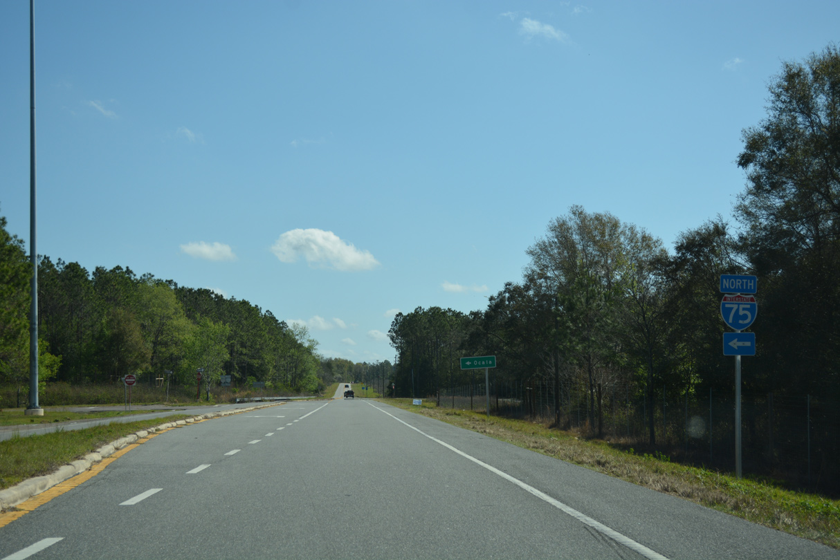
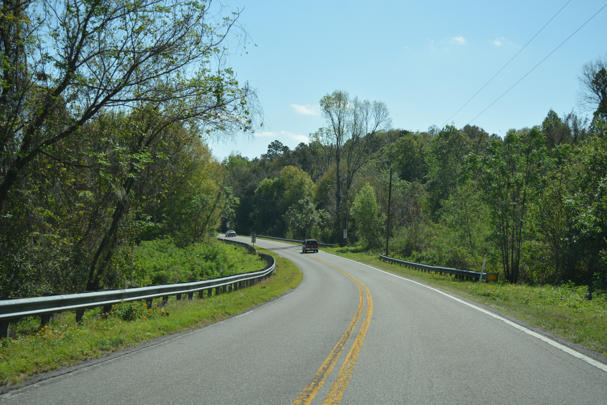
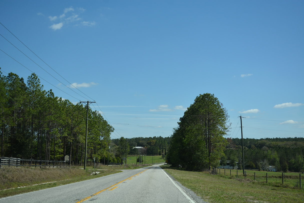
Leading east from the exchange with I-75, CR 41 (Blanton Road) passes south of Jessamine Lake through timber and ranchland.
03/06/22
03/06/22
02/27/17
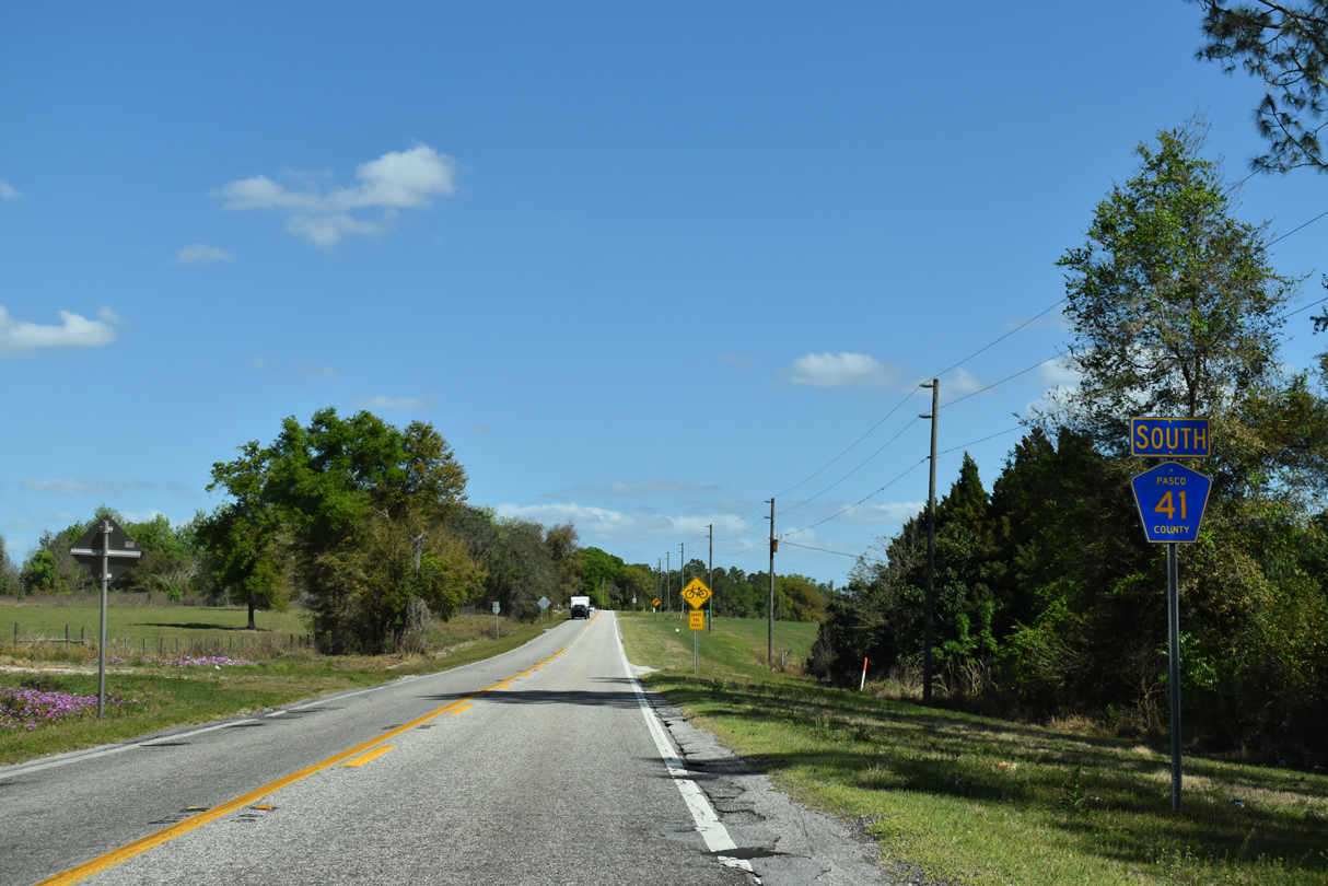
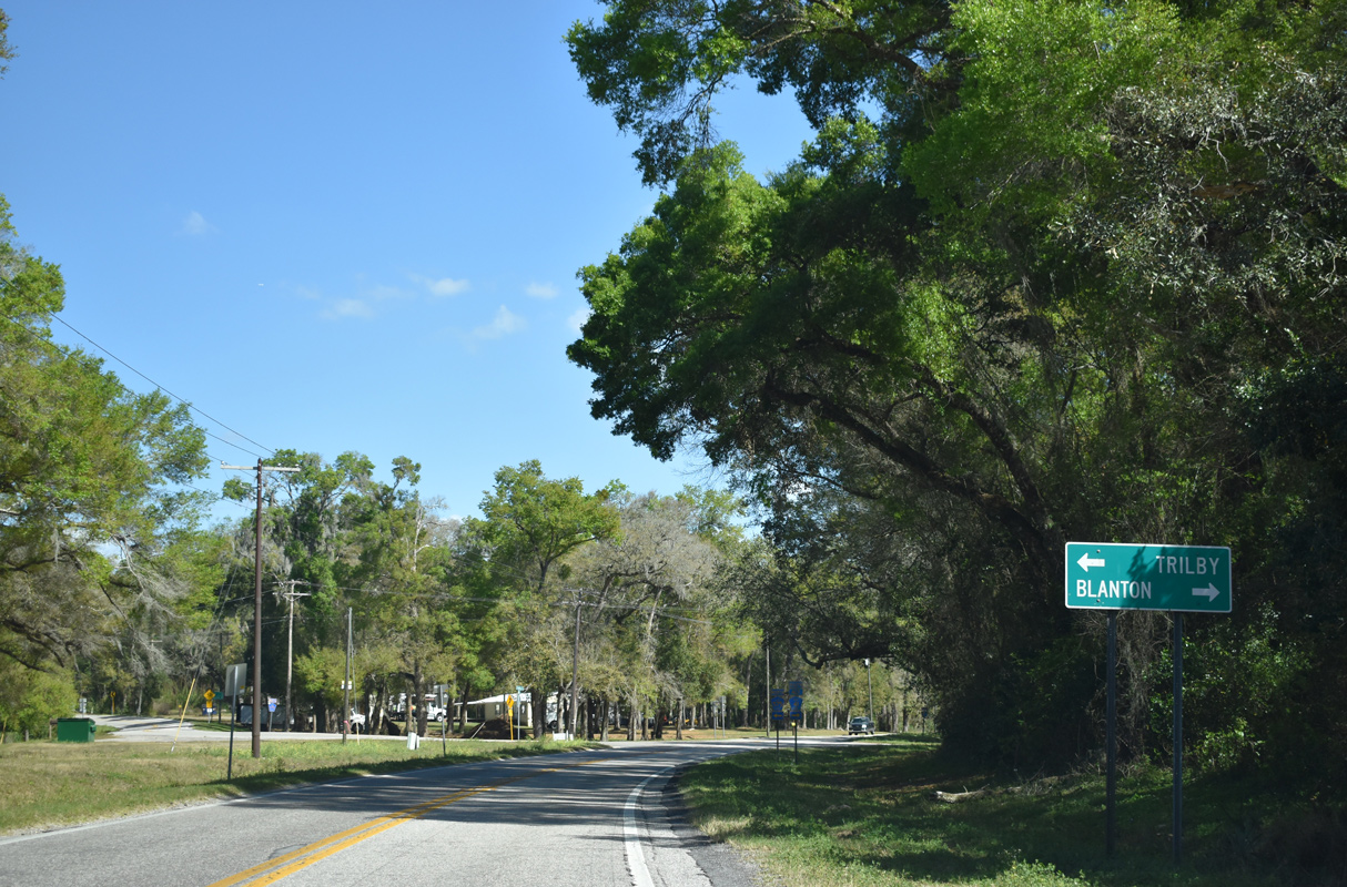
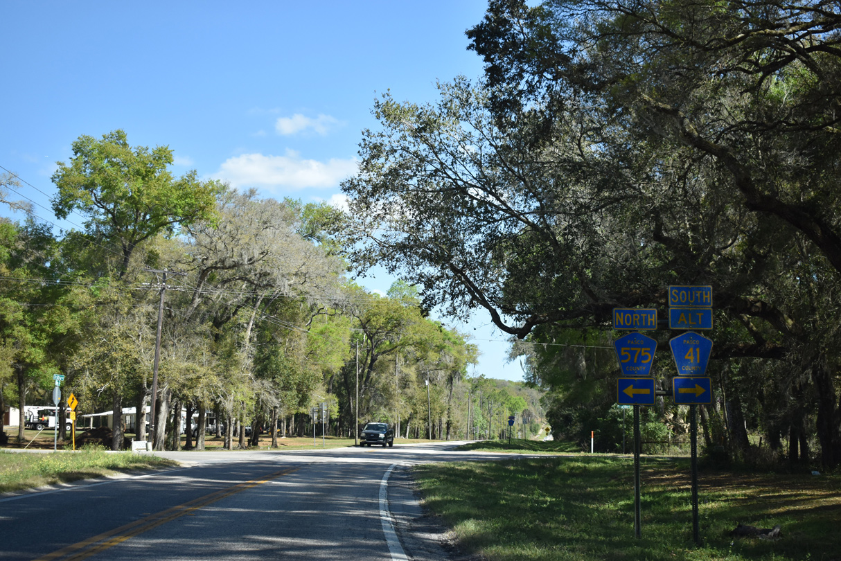
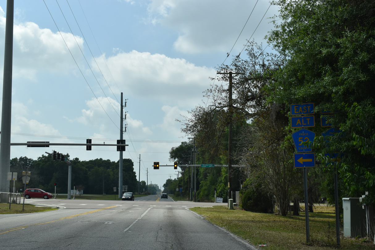
CR 41 ALT (Spring Valley Road) and CR 575 (Trilby Road) come together at CR 41 and the community of Blanton.
03/06/22
03/06/22
CR 41 ALT (Spring Valley Road) comprises a rural loop south from CR 41 into Blanton and by Blanton Lake.
03/06/22
03/06/22
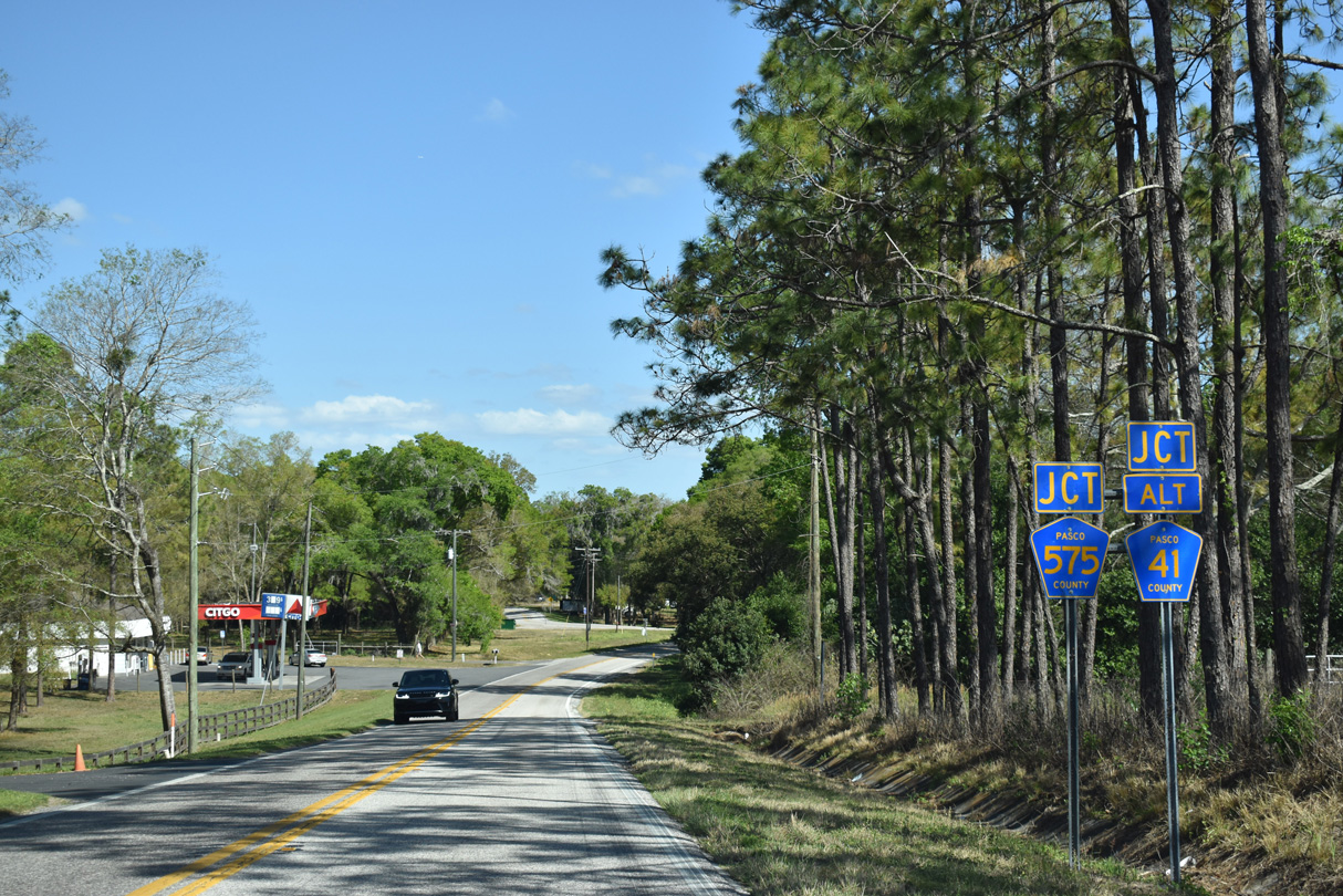
CR 575 (Trilby Road) forms a 6.73 mile long loop northeast from CR 41 (Blanton Road) to U.S. 98 at Trilby and U.S. 301/SR 575 at Lacoochee.
03/06/22
03/06/22

02/20/17
02/20/17
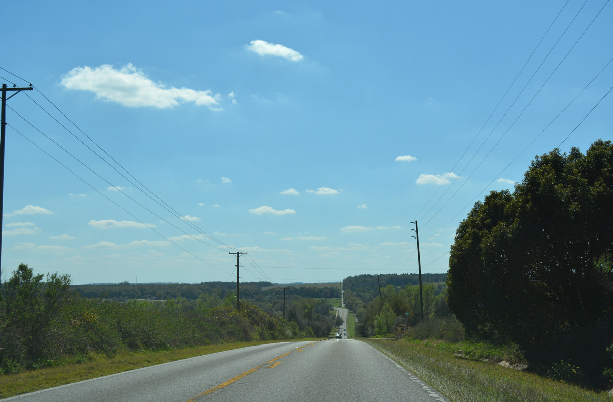
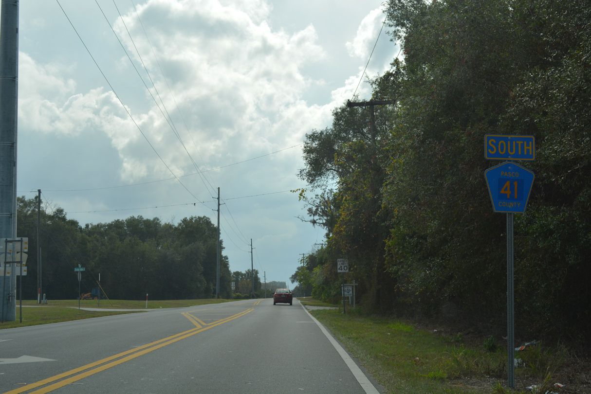
CR 41 (Blanton Road) drops 130 feet in elevation south from near Platt Road to Indian Lake.
02/20/17
02/20/17
Ramsey Road branches south from CR 41 at the East Campus of Pasco Hernando State College 0.98 miles to CR 578 (St. Joe Road).
02/20/17
02/20/17
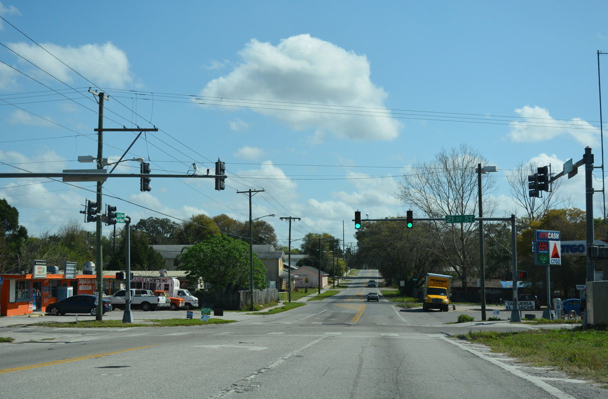
Continuing into Dade City, CR 41 follows Blanton Street east to 21st Street at CR 578 (Lock Street).
02/27/17
02/27/17
Lock Street extends east from CR 41 (Blanton Road) 0.77 miles as an unsigned branch of CR 578 to U.S. 98/301.
02/27/17
02/27/17
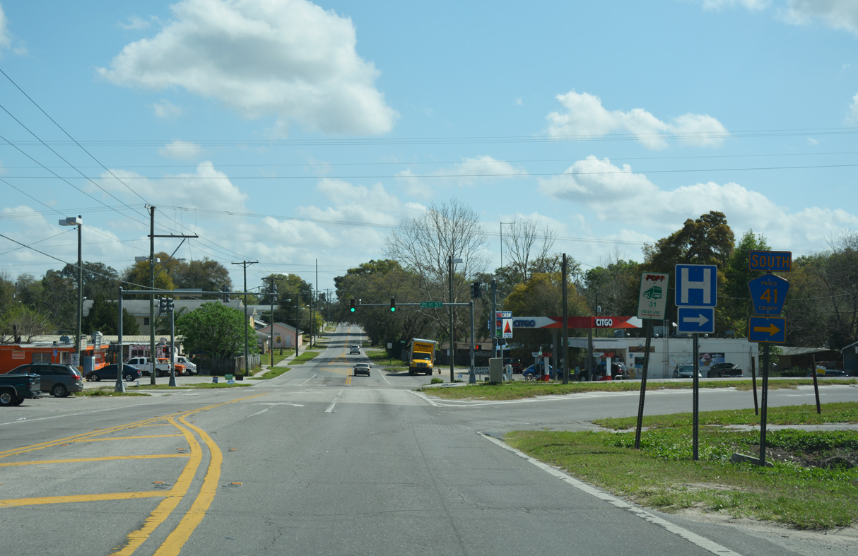
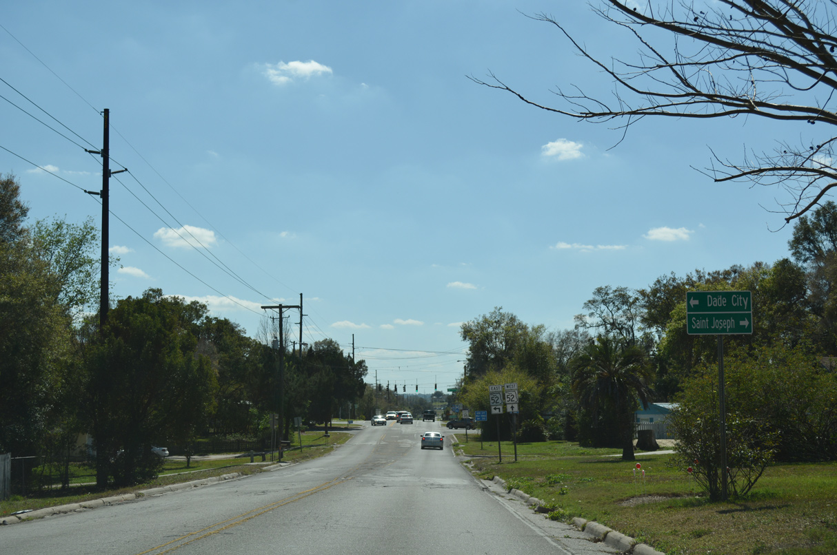
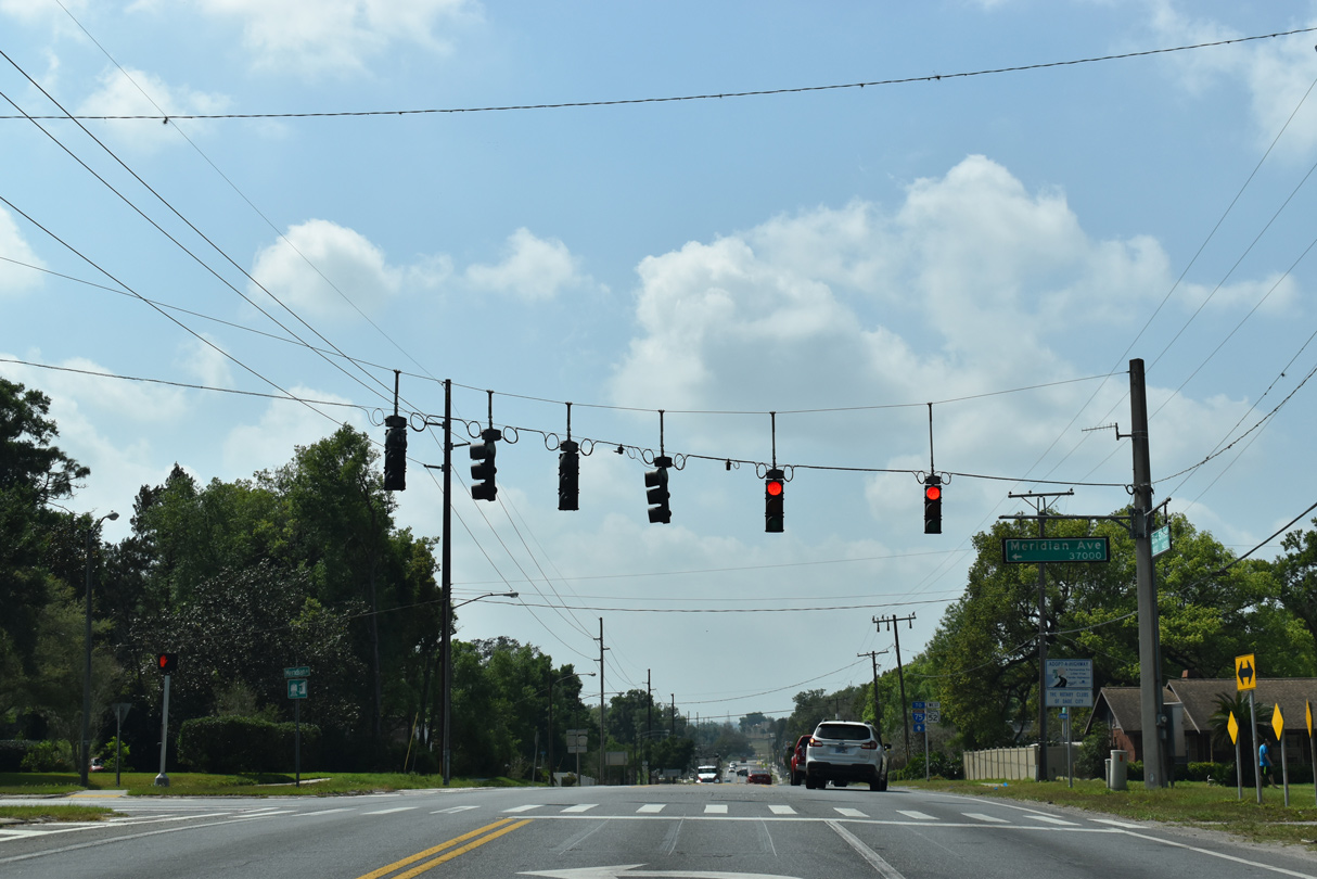
CR 41 follows 21st Street south CR 578 (Suwannee Way) west and SR 52 at Meridian Avenue.
02/20/17
02/20/17
02/20/17
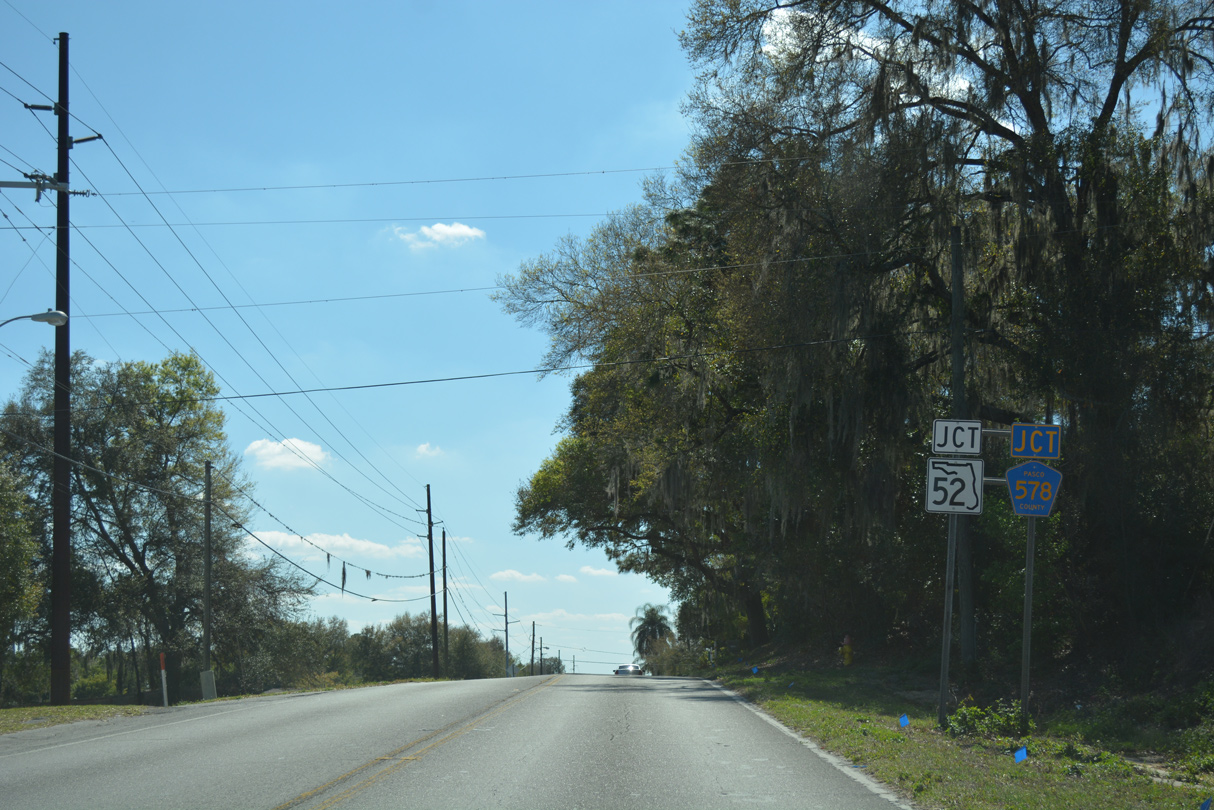
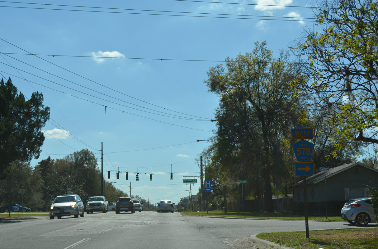
CR 578 (Suwannee Way) stems 9.67 miles west from CR 41 (21st Street) to St. Joseph and CR 581 north of Darby.
02/20/17
02/20/17
SR 52 travels across Pasco County from U.S. 19 at Bayonet Point east to U.S. 41 at Gowers Corners and the cities of San Antonio and St. Leo en route to Dade City.
02/20/17
02/20/17
02/20/17
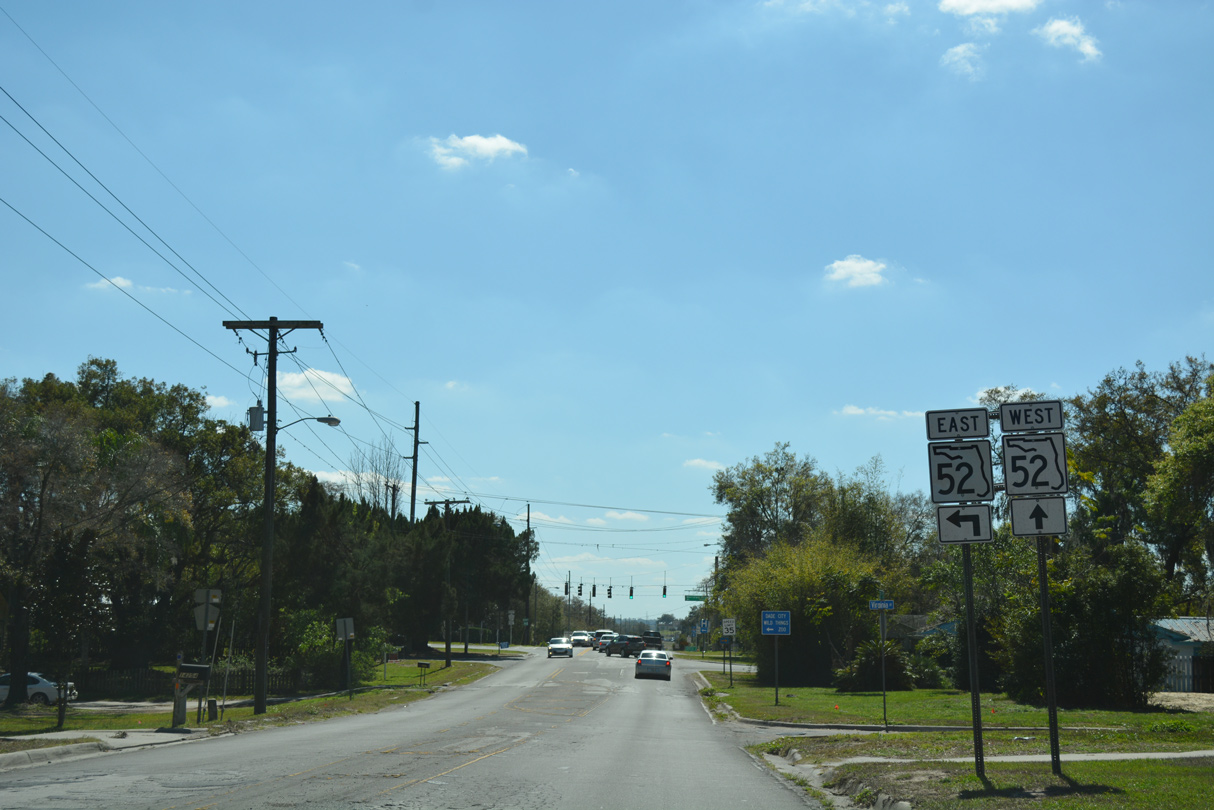
CR 41 dog legs east alongside SR 52 between 21st and 17th Streets in Dade City. SR 52 takes 21st Street south to Pasco High School en route to St. Leo and San Antonio.
03/27/20
03/27/20
CR 41 branches south from SR 52 (Meridian Avenue) after a quarter mile implied overlap.
03/27/20
03/27/20
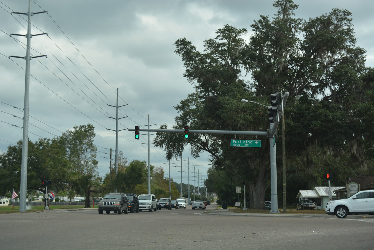
17th Street leads CR 41 south from SR 52 to Fort King Road.
12/04/17
12/04/17
Following Fort King Road south from 17th Street, CR 41 leaves Dade City just west of Tank Lake.
03/27/20
03/27/20
CR 41 shifts west to Roberts Road and proceeds due south to CR 52A (Clinton Avenue). CR 52A leads west to CR 579 and east to U.S. 98/301 north of their split and CR 35A. CR 52A is part of the future SR 52 realignment under construction to 2024.
03/27/20
03/27/20
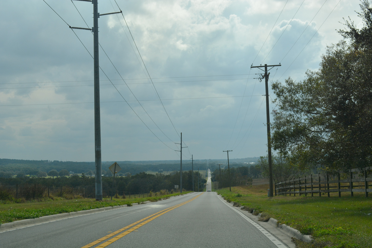
CR 41 (Fort King Road) continues south from CR 52A (Clinton Avenue) to the east of Lake Pasadena Heights.
12/04/17
12/04/17
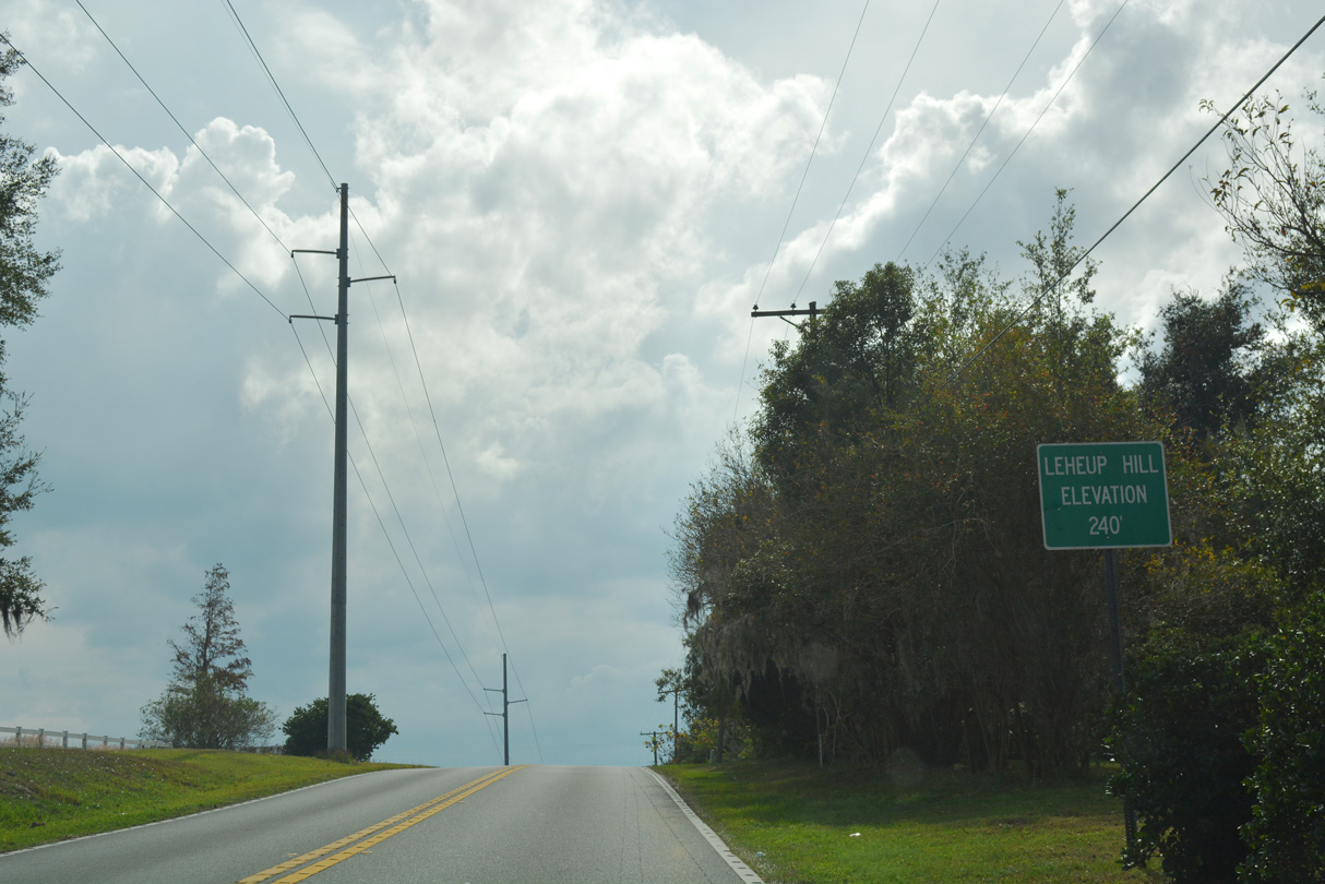
Le Huep Hill rises to 240 feet above sea level just east of CR 41 and Pasadena Shores.
12/04/17
12/04/17
12/04/17
12/04/17
Fort King Road curves east into the city of Zephyhills ahead of Daughtery Road.
12/04/17
12/04/17
Daughtery Road runs 0.43 miles east to U.S. 301 (Gall Boulevard) while CR 41 (Fort King Road) angles southeast toward Downtown Zephyrhills.
12/04/17
12/04/17
12/04/17
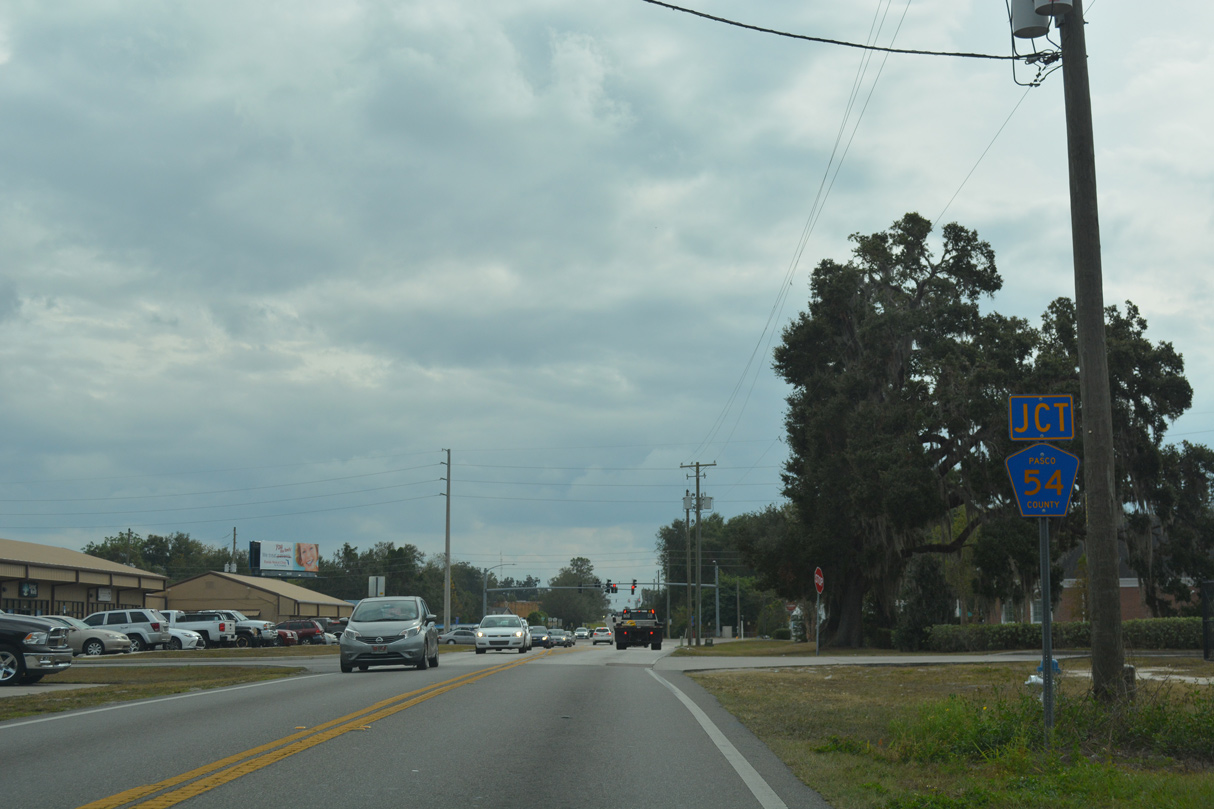
CR 41 (Fort King Road) next meets CR 54 along Eiland Boulevard.
12/04/17
12/04/17
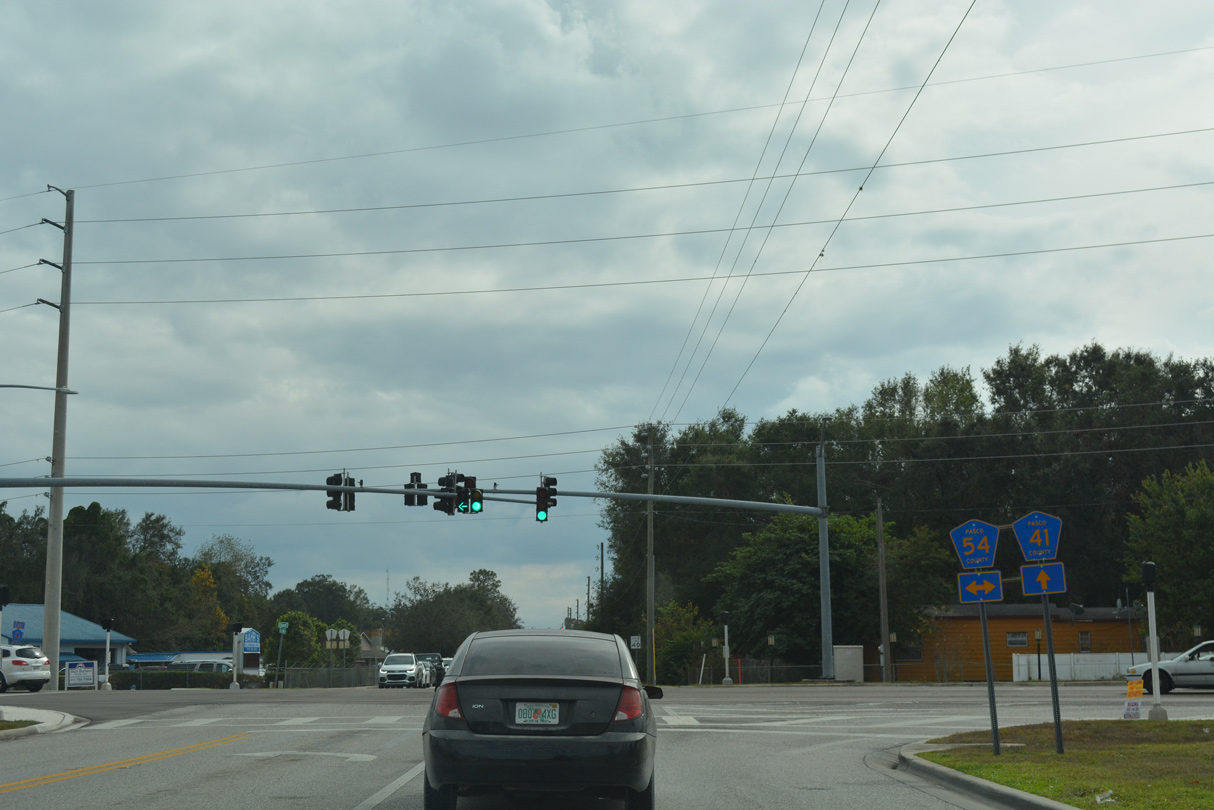
CR 54 follows Eiland Boulevard 3.89 miles west from U.S. 301 to Zephyrhills West and CR 579 (Handcart Road). CR 54 continues another 6.95 miles east from U.S. 301 (Gall Boulevard) to U.S. 98.
12/04/17
12/04/17
12/04/17
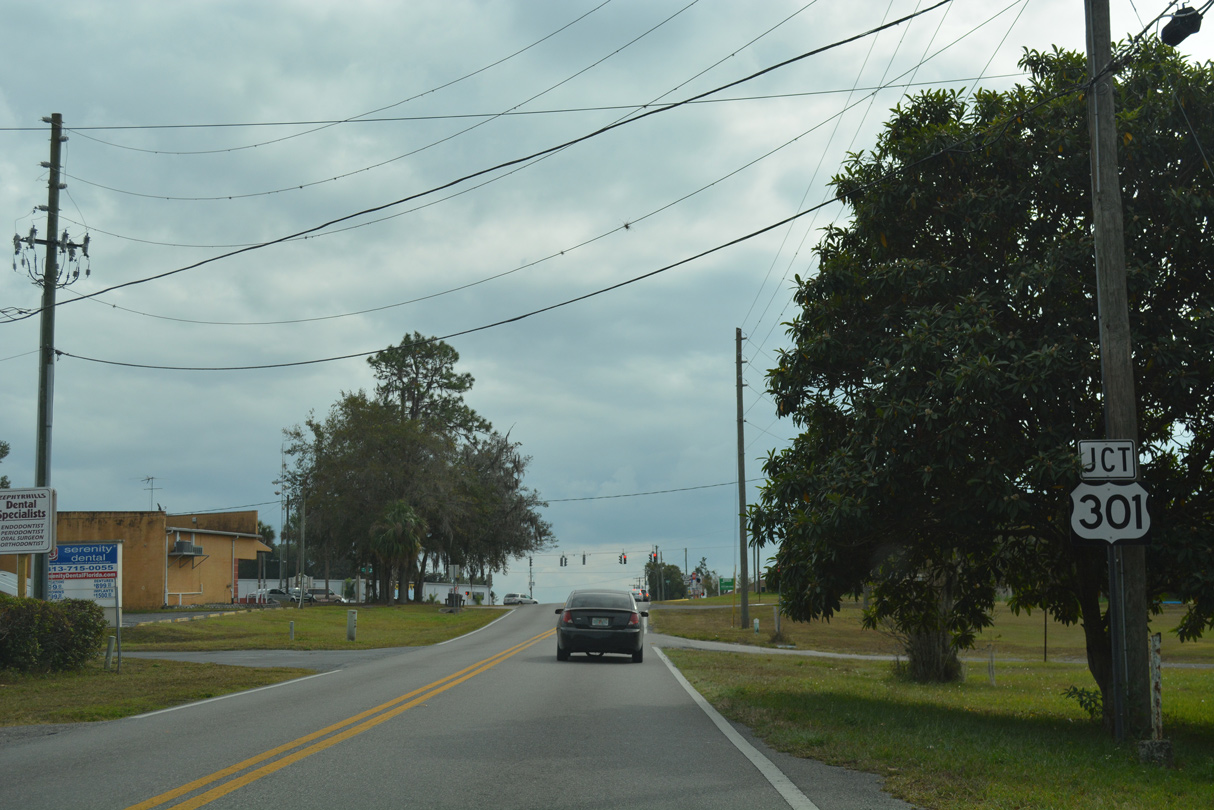
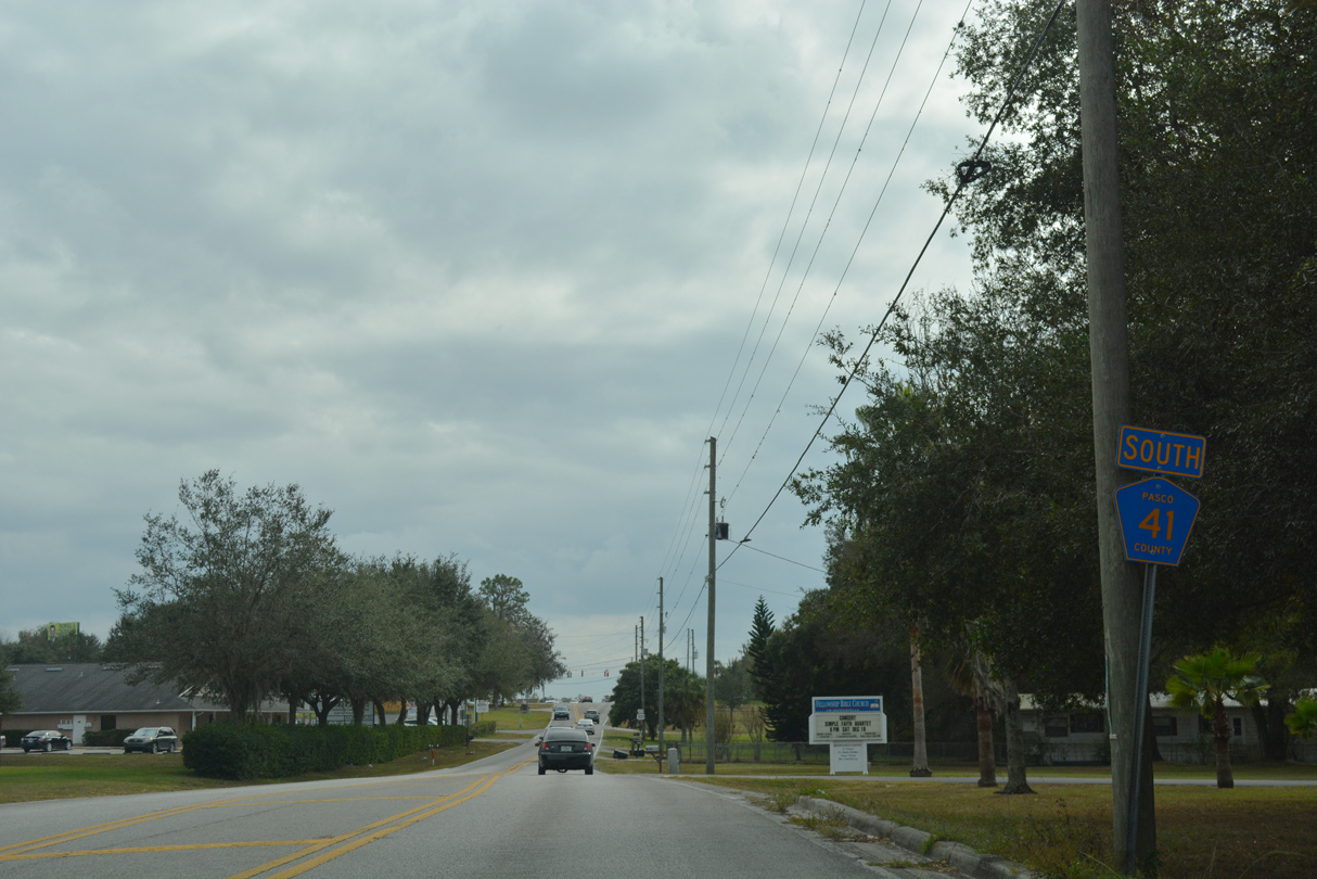
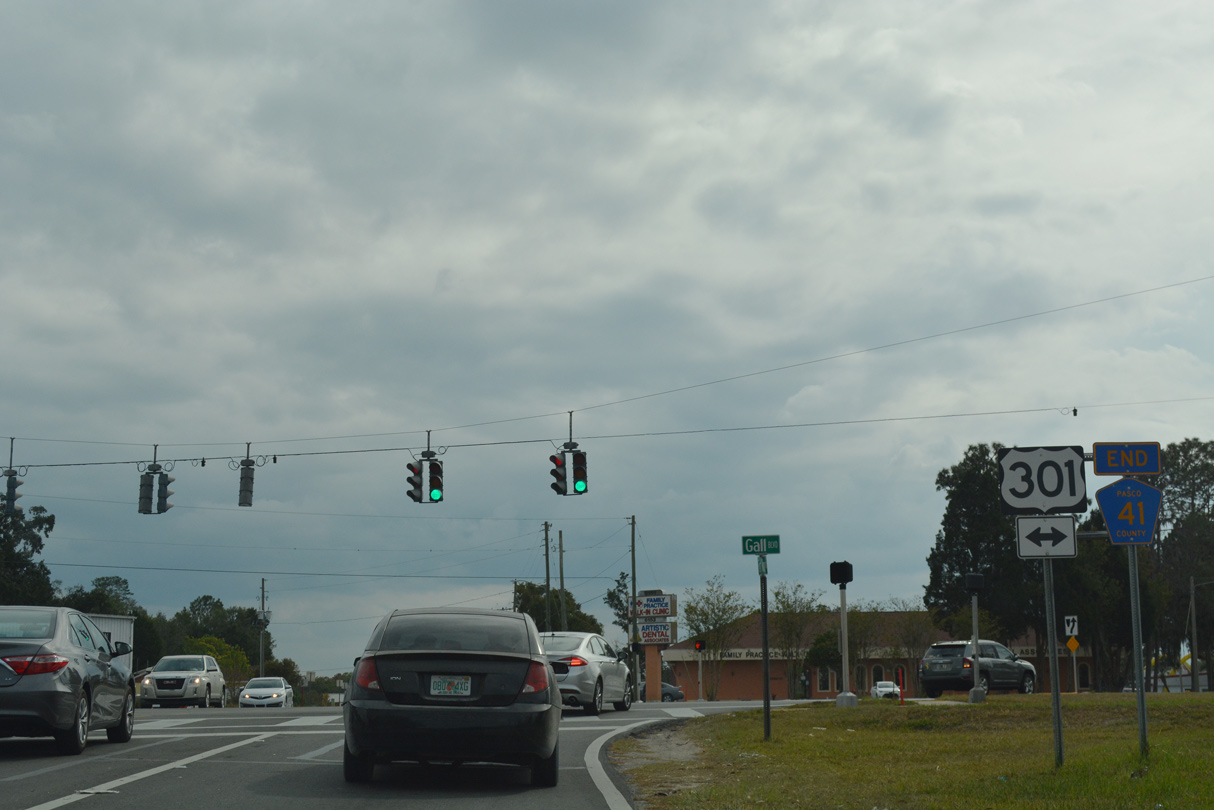
CR 41 (Fort King Road) converges with U.S. 301 a third of mile south of CR 54.
12/04/17
12/04/17
Fort King Road extends another 0.3 miles from the end of CR 41 at U.S. 301 to 7th Street at North Avenue. U.S. 301 heads south into Downtown Zephyrhills.
12/04/17
12/04/17
Photo Credits:
- Alex Nitzman: 02/20/17, 02/27/17, 12/04/17, 12/13/21
- ABRoads: 02/17/14, 03/27/20, 03/06/22
Page Updated Monday March 07, 2022.