
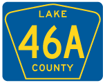
Lake County Road 46A
The main section of County Road 46A follows H.E. Thomas, Jr. Parkway and 25th Street at Sanford in Seminole County. The second segment of County Road 46A is posted in eastern Lake County. Traveling south from Seminole Springs to Mount Plymouth the 3.6 mile long highway links SR 44 with CR 46 west and SR 429 (Wekiva Parkway) at Exit 44. The southern 0.43 miles of CR 46A is state maintained.
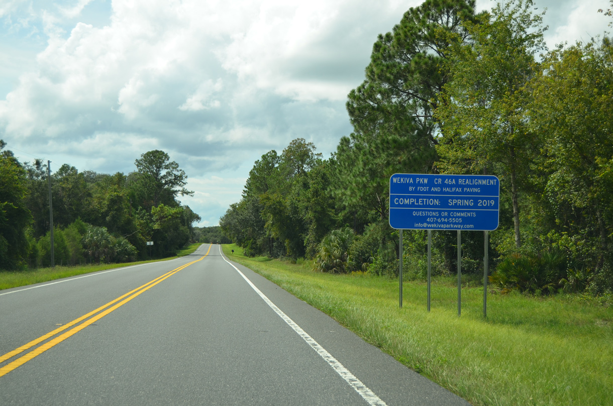
Lake County Road 46A previously ran 5.59 miles southeast from SR 44 to SR 46 near Walling, partly through Seminole State Forest. Construction on Sections 5 and 6 for Wekiva Parkway (SR 429) included realigning CR 46A southward 2.58 miles from near Arundel Way to connect with the toll road at SR 46. Work on Section 5 got underway on June 5, 2017 and was completed on October 31, 2019. Started on October 18, 2017, Section 6 work through Spring 2021 Summer 2022 included removing the CR 46A roadway through Seminole State Forest. Short segments of the old alignment were repurposed as service roads.
 North
North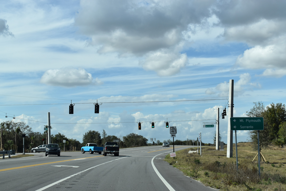
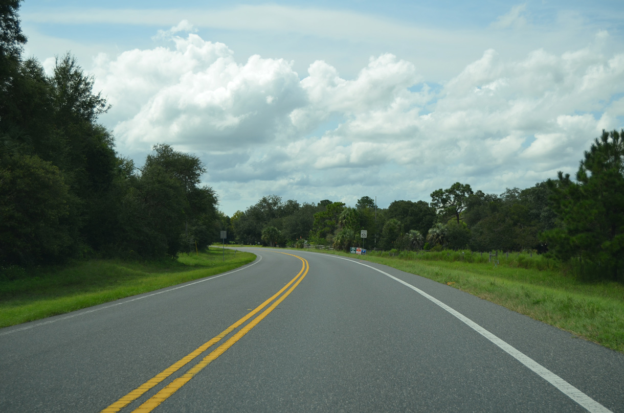
Sorrento Avenue (former SR 46) branches west from CR 46A into the unincorporated communities of Mount Plymouth and Sorrento.
02/12/21
4.22 miles of SR 46 west to SR 453 (Mount Dora Connector) was decommissioned with the completion of Wekiva Parkway.
02/12/21
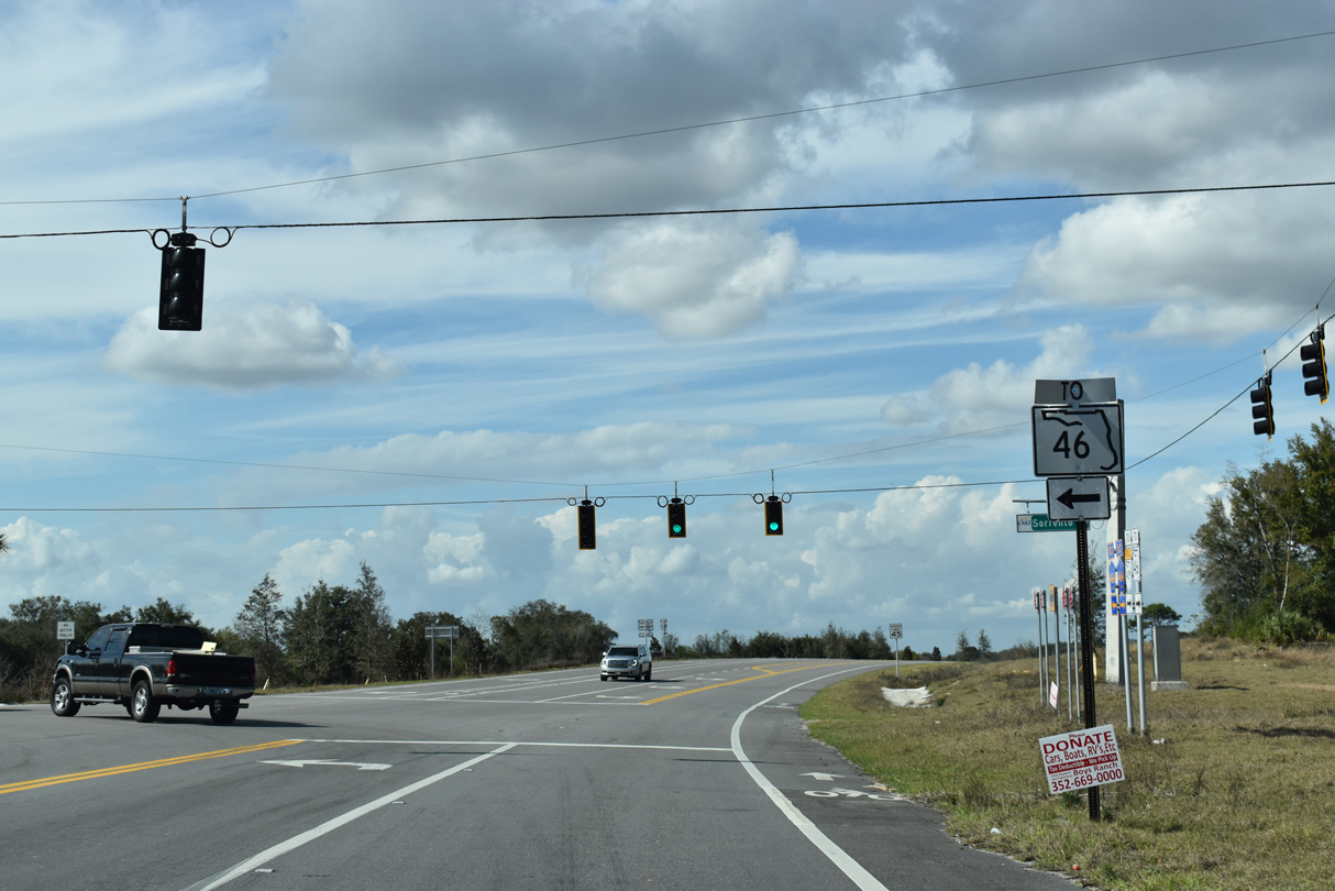
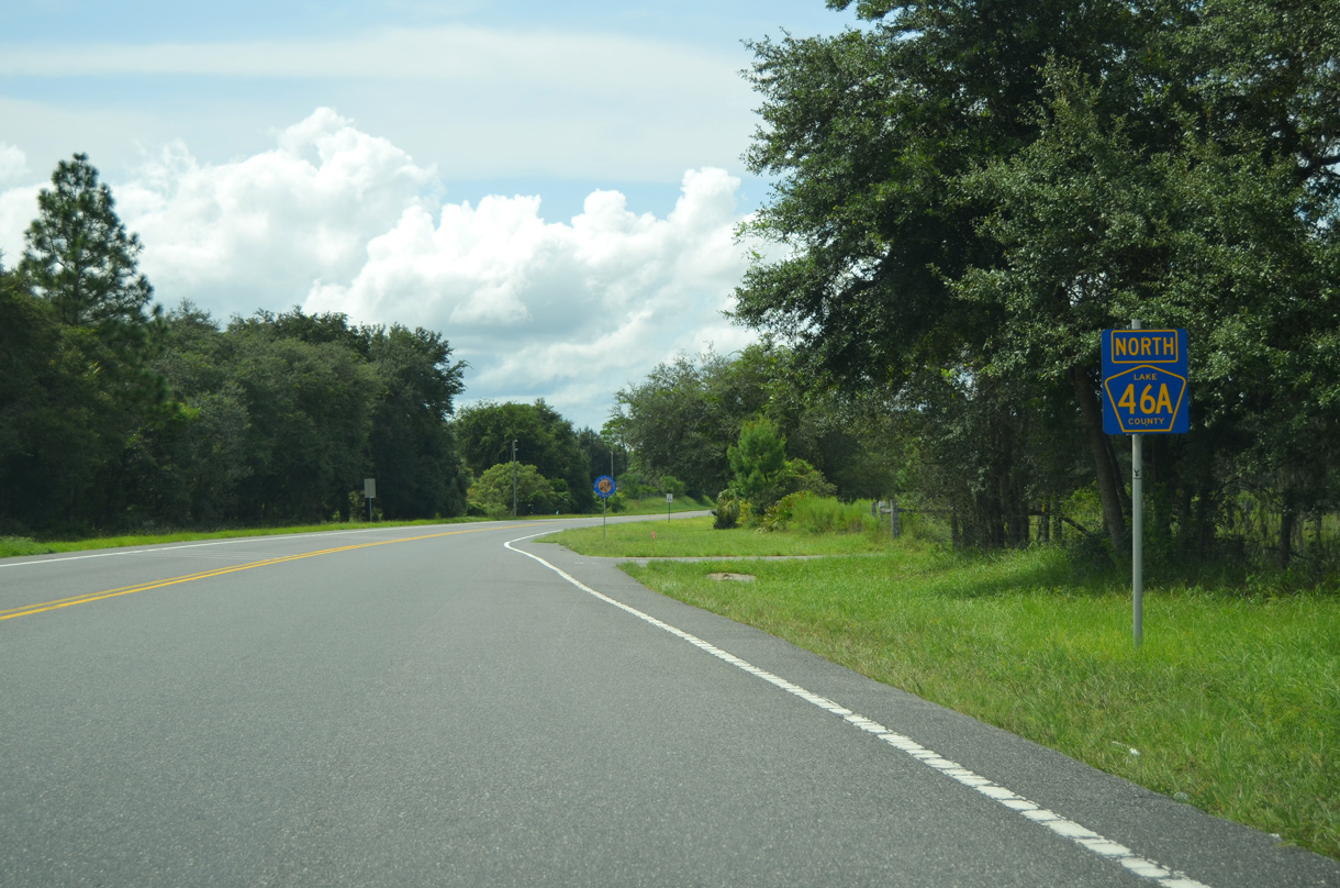
Section 5 construction for Wekiva Parkway realigned CR 46A westward 3.6 miles to SR 46 and SR 429 (Wekiva Parkway). Associated work demolished the former alignment through Seminole State Forest.
03/02/22
Spurring east to Droty Spring, the old alignment of CR 46A was renamed Droty Spring Lane.
02/12/21
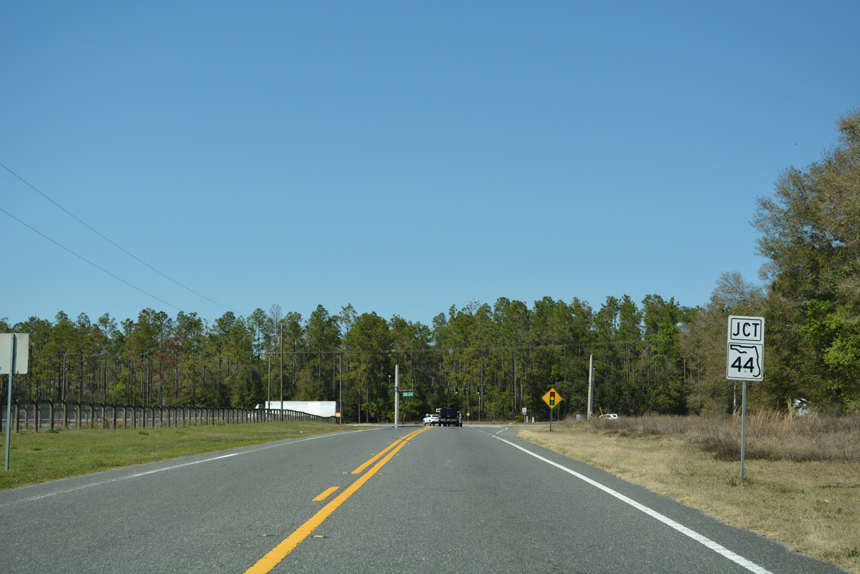
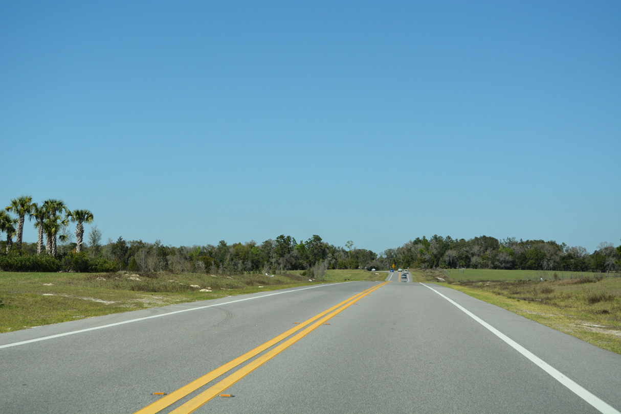
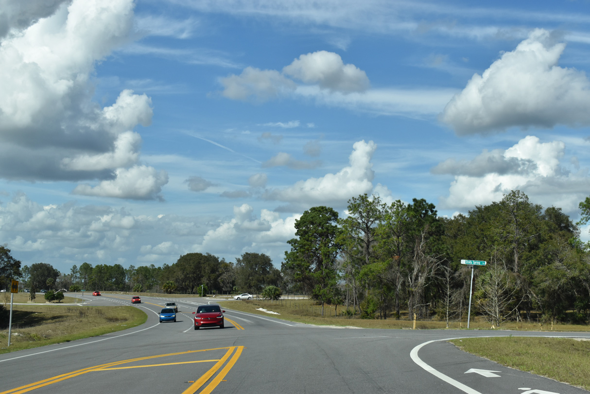
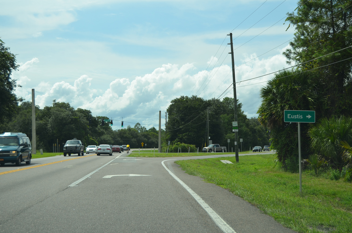
The realignment of CR 46A extends north to Arundel Way. 1.1 miles beyond there, CR 46A concludes at SR 44 near Seminole Springs.
03/02/22
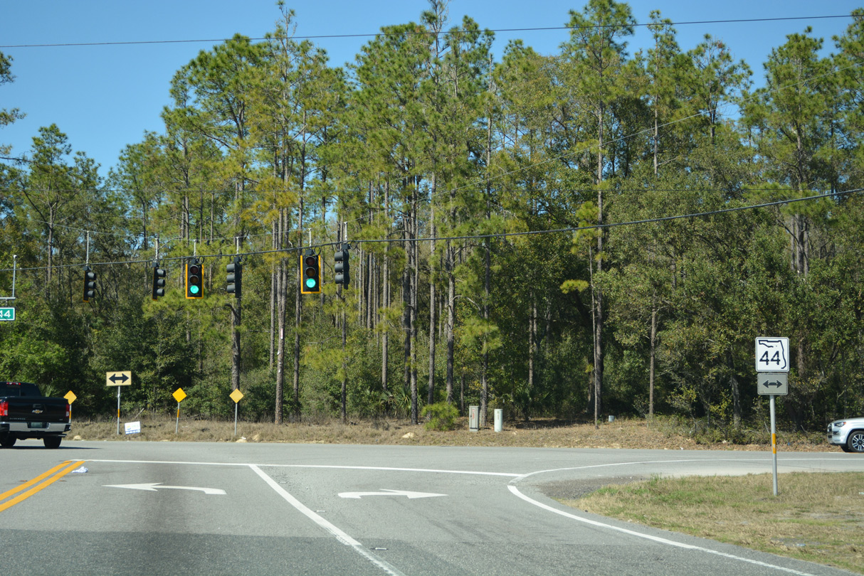
State Road 44 is a rural highway heading northeast to DeLand in Volusia County. West from CR 46A, SR 44 becomes more suburban to the outskirts of Eustis and Mount Dora.
03/02/22
North - Old Alignment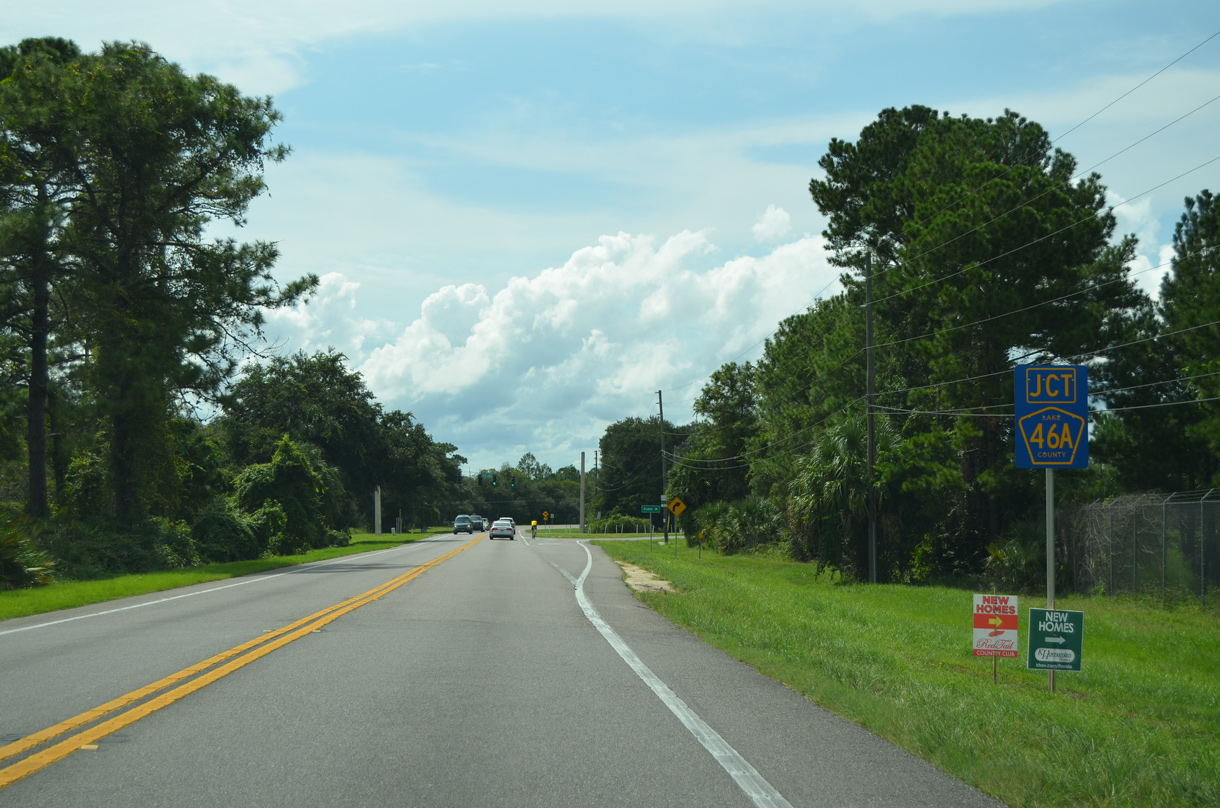
Lake County Road 46A formerly branched northwest from SR 46 westbound. This segment of SR 46 was incorporated into Deerwood Farms Road, a south side service road for Wekiva Parkway.
09/03/17
Associated work with Section 5 construction for Wekiva Parkway demolished CR 46A through Seminole State Forest, severing the link here with SR 44 at Seminole Springs.
09/03/17
CR 46A and SR 46 paralleled one another northwest for one mile.
09/03/17
Construction for Section 6 of Wekiva Parkway added a connector linking this section of old CR 46A with adjacent SR 46. Both roads were repurposed as local access roads, with CR 46A becoming Sleepy Bear Lane and SR 46 as Cypress Mill Road to the west and Red Hibiscus Court to the east.
09/03/17
Diverging from adjacent SR 46, CR 46A angled northwest into Seminole State Forest. This alignment was demolished at the state forest boundary just beyond the last house on the left.
09/03/17
The abandoned section of CR 46A passed by Droty Spring on a ridge rising south of Seminole Swamp.
09/03/17
The Wekiva Parkway Section 5 realignment of CR 46A overtakes the original roadway adjacent to Red Tail Boulevard, the entrance to the Redtail subdivision.
09/03/17
Photo Credits:
- ABRoads: 09/03/17, 02/12/21
- Alex Nitzman, JP Nasiatka: 03/02/22
Connect with:
Page Updated Wednesday November 09, 2022.