
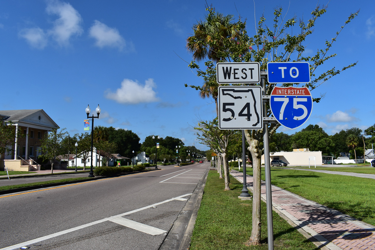
County Road 54 West - Zephyrhills to Wesley Chapel

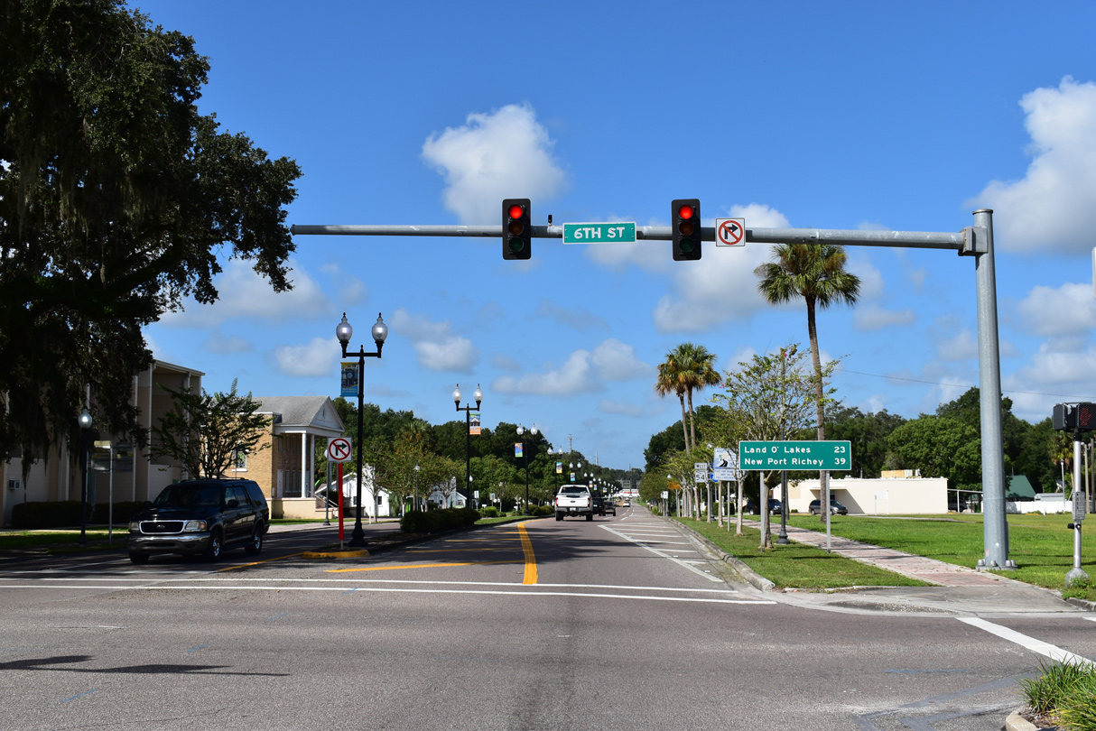
CR 54 (5th Avenue) intersects 6th Street just west of U.S. 301 (Gall Boulevard).
09/03/20
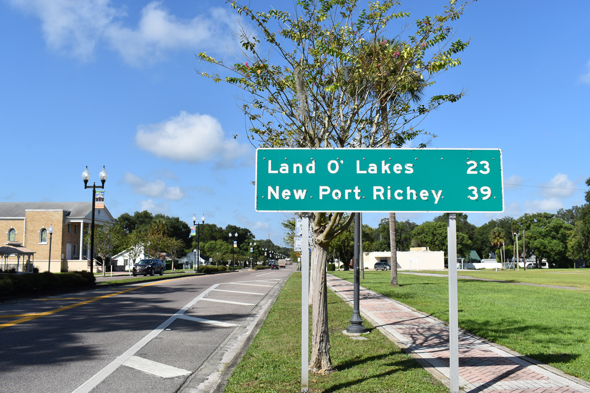
Collectively SR 54 and CR 54 travel 38.3 miles from U.S. 301 in Zephyrhills to U.S. 19 at Elfers (south of New Port Richey).
09/03/20
The first confirming marker for SR 54 west preceded 5th Street in Zephyrhills.
09/03/20
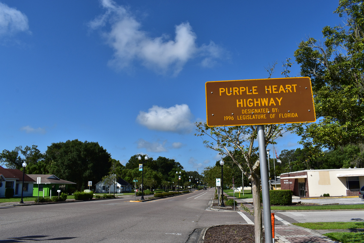
CR 54 is also the Purple Heart Highway.
09/03/20
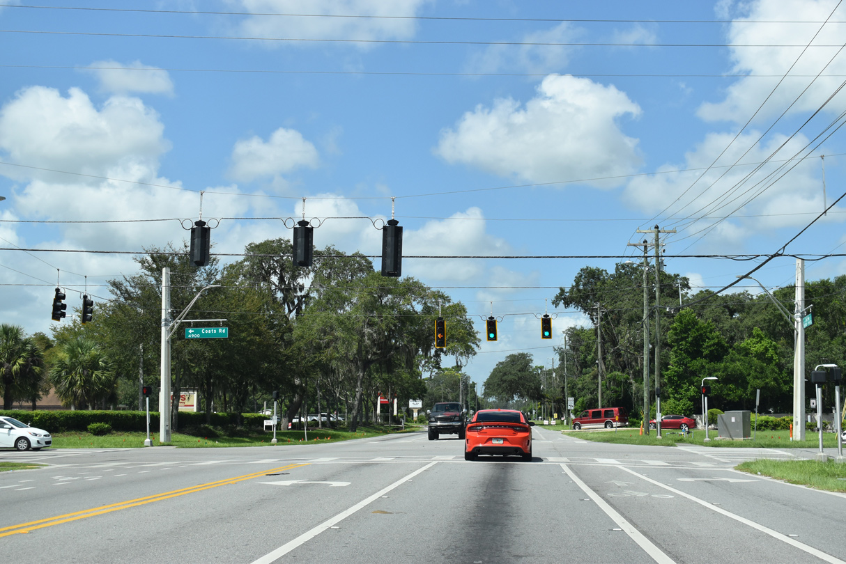
5th Avenue leads CR 54 through Zephyrhills West. The succeeding traffic light is with Coats Road south and Dean Dairy Road north.
09/03/20
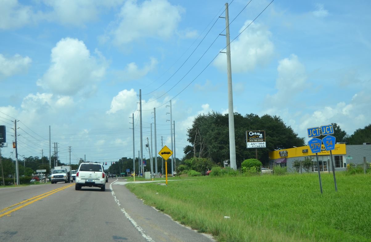
The CR 54 branch along Eiland Boulevard runs north of Zephyrhills West and combines with CR 579 south from Handcart Road to CR 54.
09/04/17
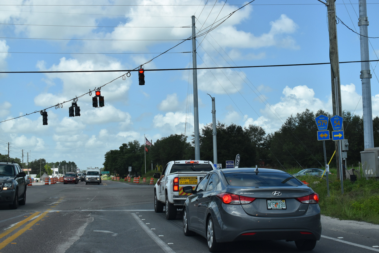
The leg of CR 54 along Eiland Boulevard ends as CR 579 shifts south onto Morris Bridge Road to New Tampa. CR 579 extends north to Saint Leo and the western outskirts of Dade City.
09/03/20
Continuing from CR 54/579 and Morris Bridge Road, a $42.5 million project widened then-SR 54, 4.5 miles west to a point east of CR 577 (Curley Road). Construction converting the road into a four lane arterial started in November 2017 and was originally anticipated for completion in Summer 2021.1
12/04/17
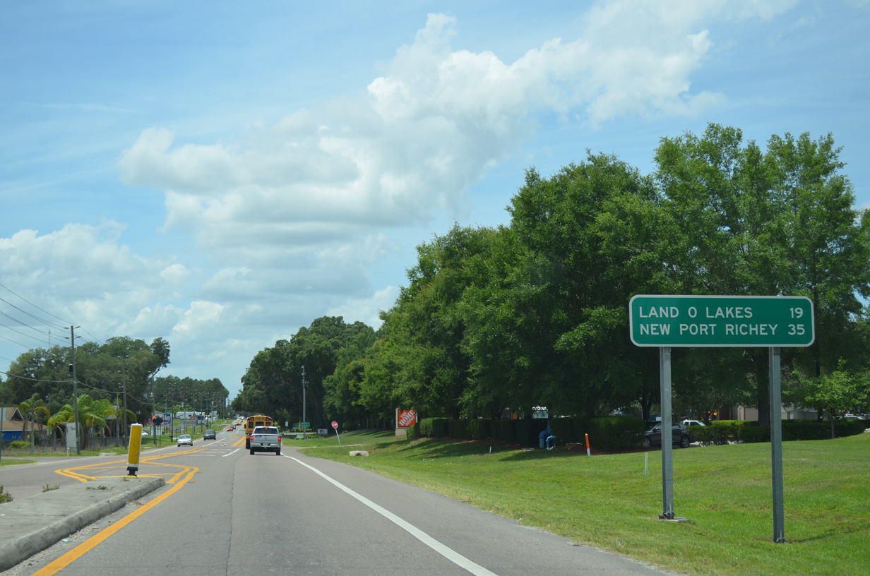
Land O's Lakes is 19 miles west of CR 577, followed by New Port Richey in 35 miles.
05/05/15
CR 54 enters the general area of Wesley Chapel west beyond Morris Bridge Road.
12/04/17
Traffic lights were added at CR 54 and River Glen Boulevard north in 2017.
12/04/17
Meadow Pointe Boulevard is a suburban arterial linking CR 54 with SR 56 and the Meadow Pointe Boulevard development along the Hillsborough County line.
05/05/15
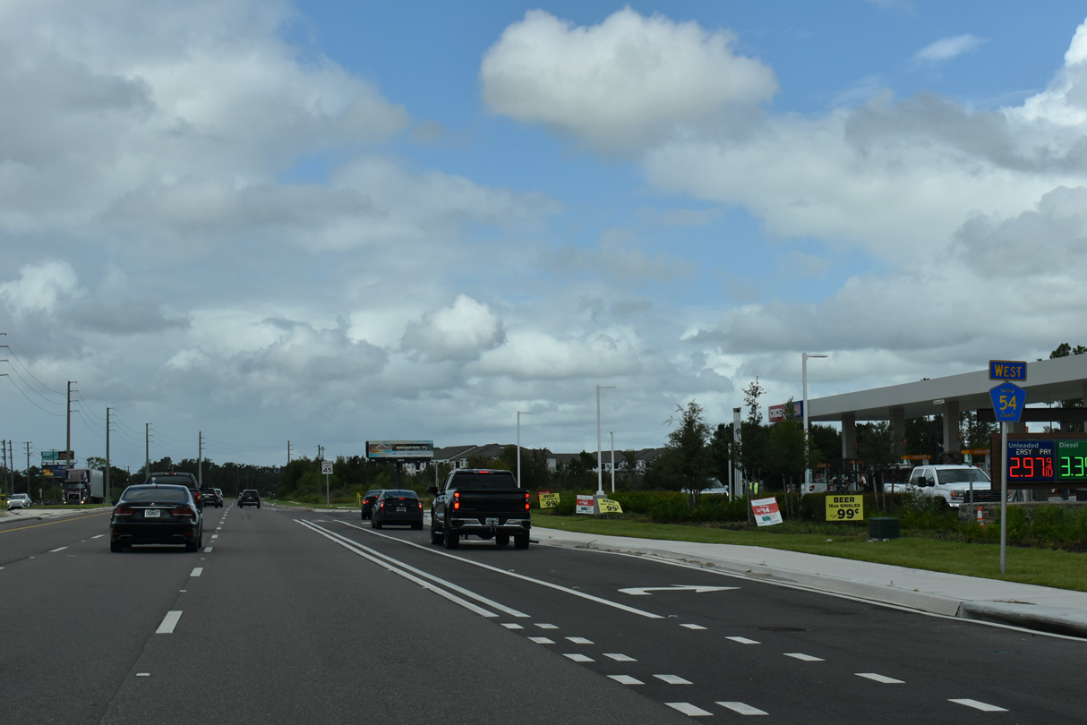
CR 54 reassurance marker posted west of Meadow Pointe Boulevard south and Chapel Crossings Boulevard north.
10/04/25
CR 54 shifts northward to the west end of the Zephyrhills Bypass. The two lane, divided boulevard east to Cason Boulevard was built in place of the cancelled Zephyrhills West Bypass Extension.
05/05/15
2017-21 widening of then-SR 54 between CR 579 (Morris Bridge Road) and CR 577 (Curley Road) added a triple left turn at the previously unused roadway for the Zephyrhills West Bypass Extension. Shields erroneously reference Zephyrhills Bypass east as part of CR 54.
10/04/25
CR 54 continues west from Zephyrhills Bypass with six overall lanes to CR 581 (Bruce B. Downs Boulevard).
05/05/15
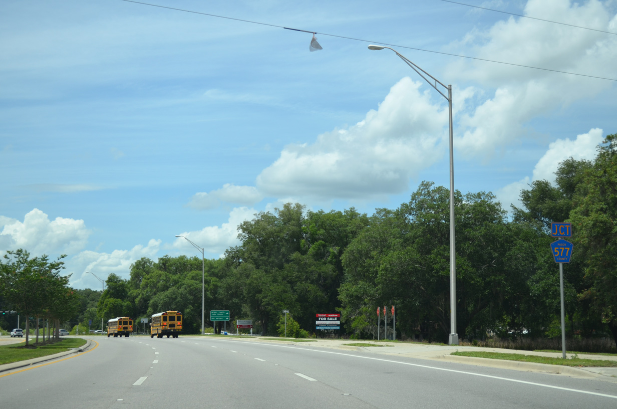
CR 577 (Curley Road) ties into CR 54 from the northeast.
05/05/15
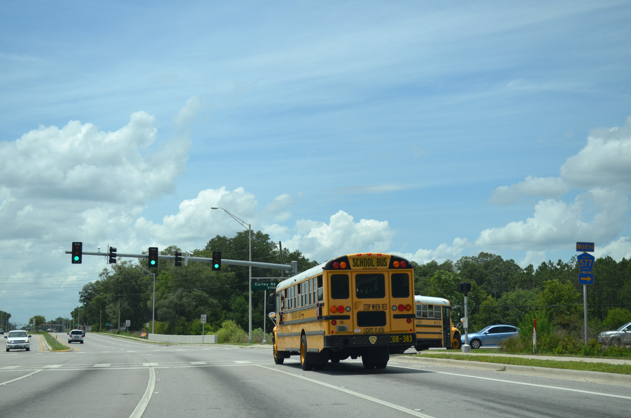
Curley Road leads CR 577 north to the city of San Antonio.
05/05/15
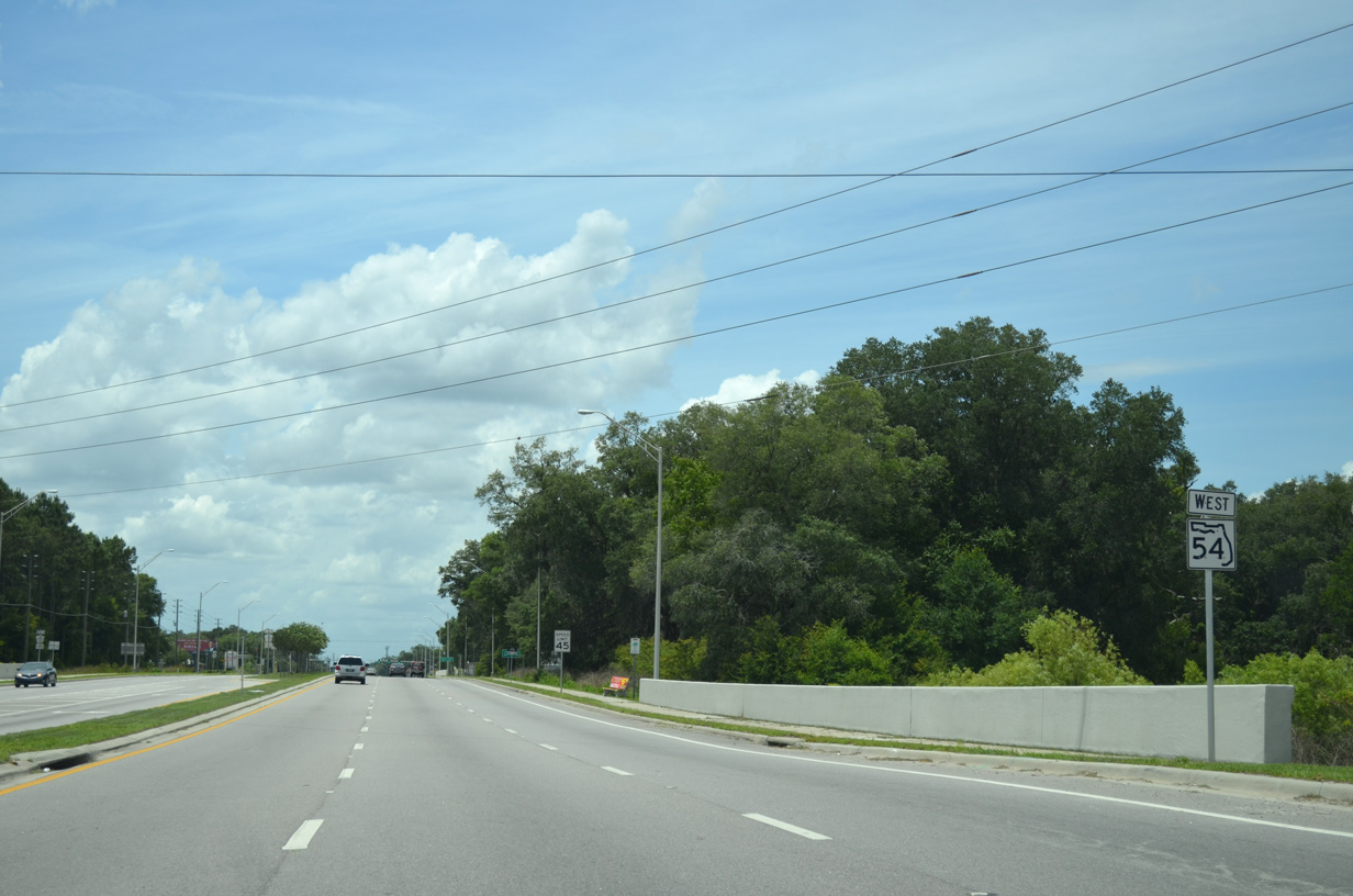
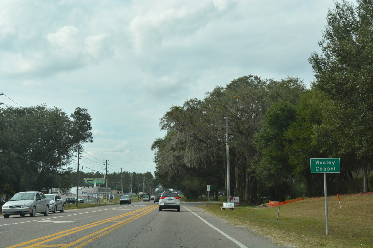
CR 54 advances west from CR 577 through Wesley Chapel South.
05/05/15
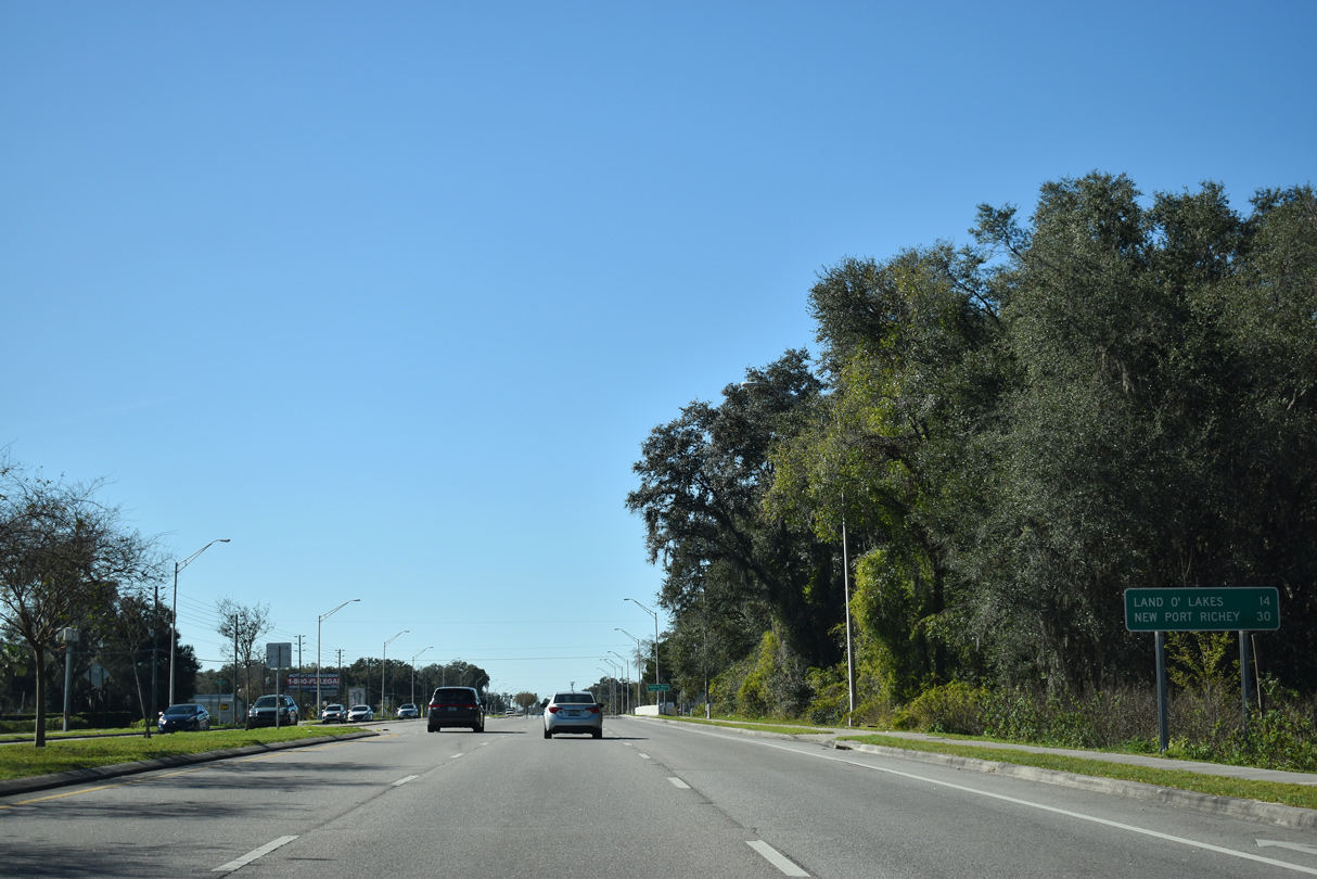
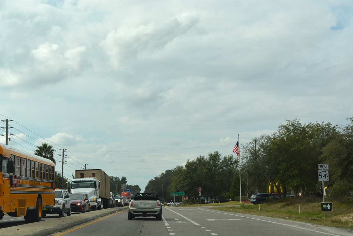
Land O' Lakes spreads to the west of Wesley Chapel. The community center is roughly located at SR 54 and U.S. 41, 14 miles to the west.
01/20/20
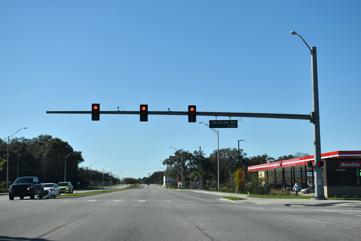
Vandine Road leads north to Boyette Road, which serves suburban areas to Overpass Road.
01/20/20
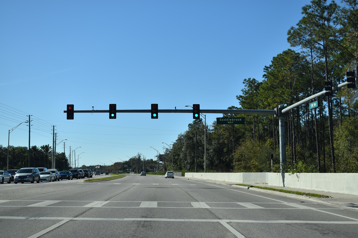
Saddlebrook Way is the lone entrance to the Saddlebrook golf course community south of CR 54.
01/20/20
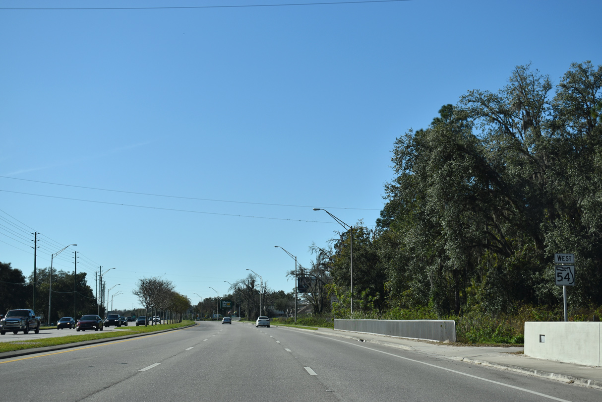
Reassurance shield posted westbound between Saddlebrook Way and The Villages of Wesley Chapel development.
01/20/20

CR 54 next intersects Pointe Pleasant Boulevard north and Wiregrass Ranch Boulevard south. The arterial south connects with Mansfield Boulevard at SR 56.
05/05/15
Commercial frontage increases along CR 54 leading west toward Interstate 75.
04/26/19
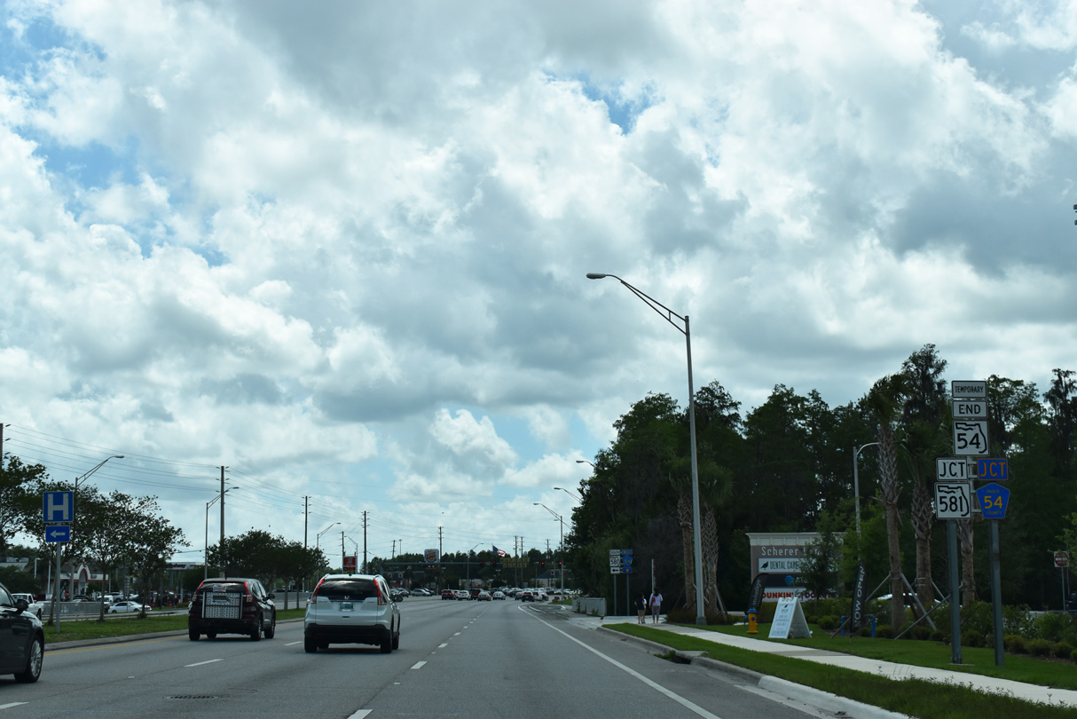
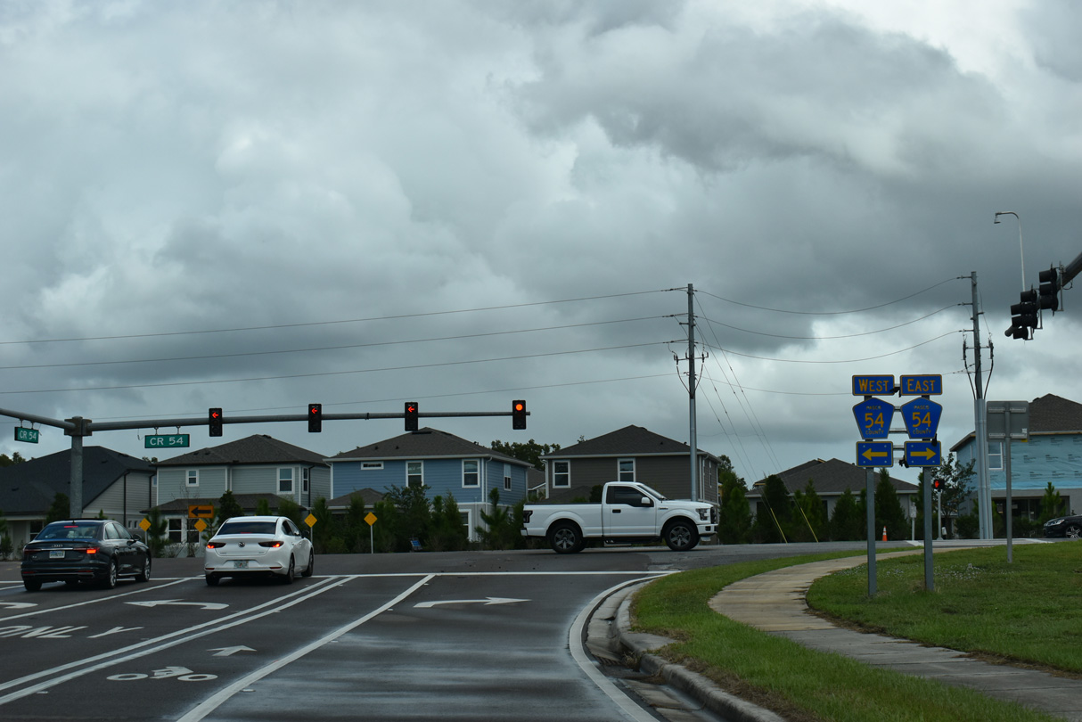
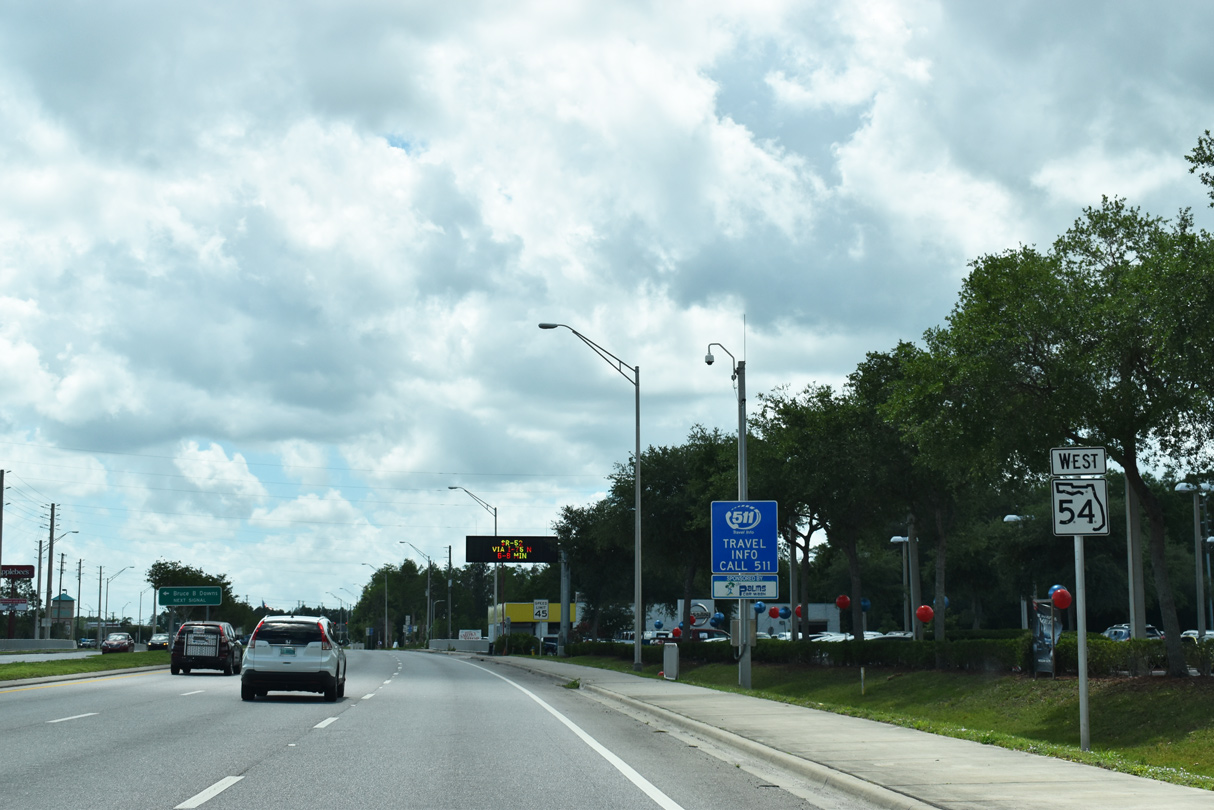
A temporary end shield for SR 54 preceded CR 581 (Bruce B. Downs Boulevard) south and CR 54 (Wesley Chapel Boulevard) west. SR 581 was designated to link the disconnected sections of SR 54 via SR 56.
04/26/19
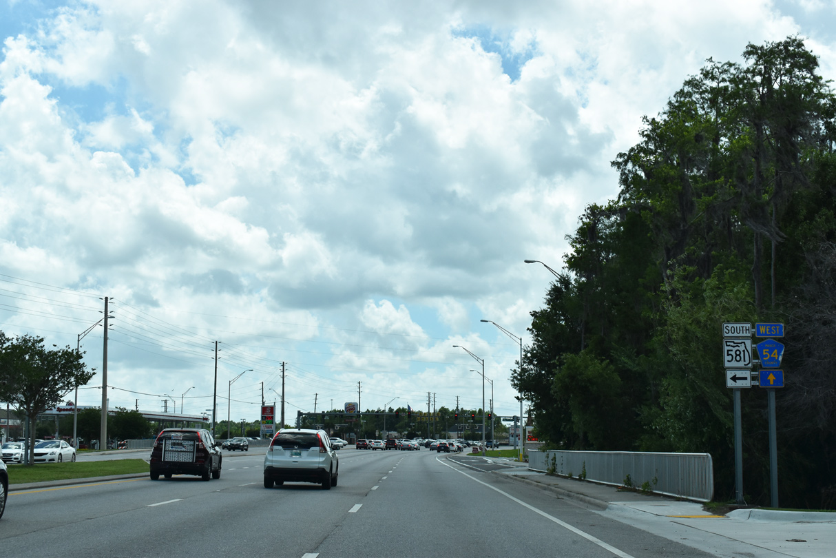
State Road 581 lines Bruce B. Downs Boulevard 3.51 miles south to SR 56 by The Shops at Wiregress retail complex. The six lane arterial continues another mile from there to Hillsborough County as CR 581.
04/26/19

References:
- SR 54 Widening from east of Curley Road to east of Morris Bridge Road - 416561-2-52-01. Florida Department of Transportation (FDOT), District 7 project web page.
Photo Credits:
- Alex Nitzman: 05/05/15, 09/04/17, 12/04/17, 09/03/20
- Brent Ivy: 04/26/19, 10/04/25
- ABRoads: 01/20/20
Connect with:
Page Updated Wednesday October 08, 2025.