
Hendry County Road 80A - Cowboy Way
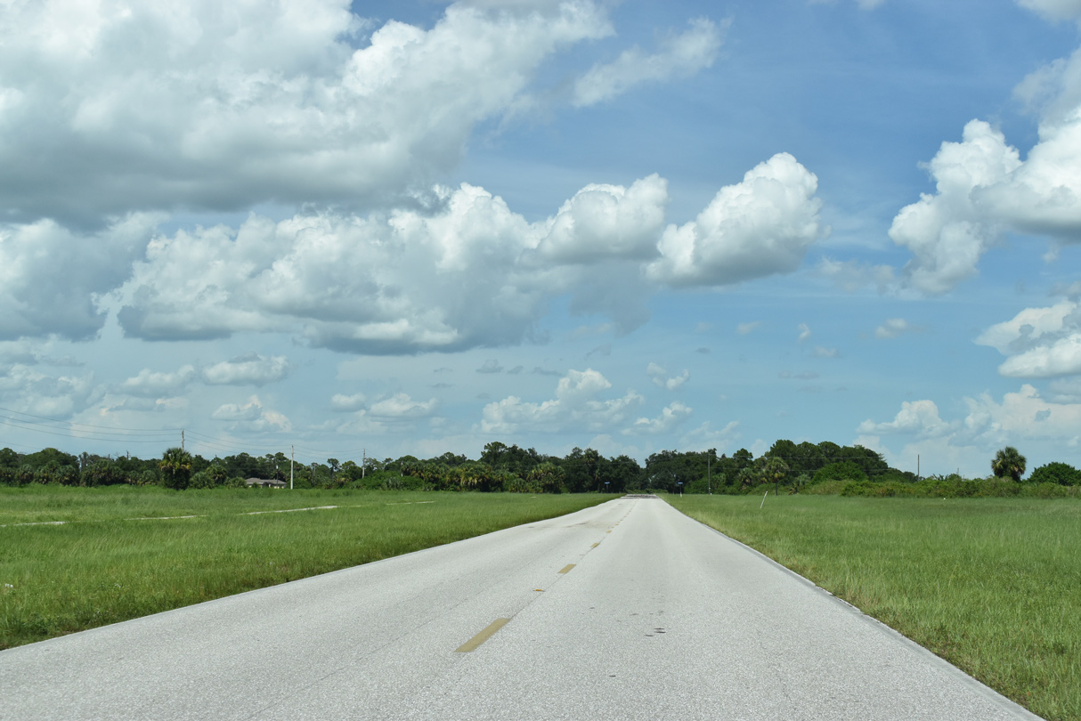
County Road 80A forms a 7.6 mile loop south of State Road 80 across LaBelle and Port LaBelle. Following Cowboy Way, CR 80A heads east from SR 80 and Fort Denaud Road 1.43 miles to SR 29 (S Main Street). Continuing east, Cowboy Way lines the north side of La Belle Municipal Airport (X14) by a series of industrial parks. The remainder of CR 80A east of Ford Road winds through Port LaBelle, a 31,000-acre single-family planned housing community platted in the 1970s.1
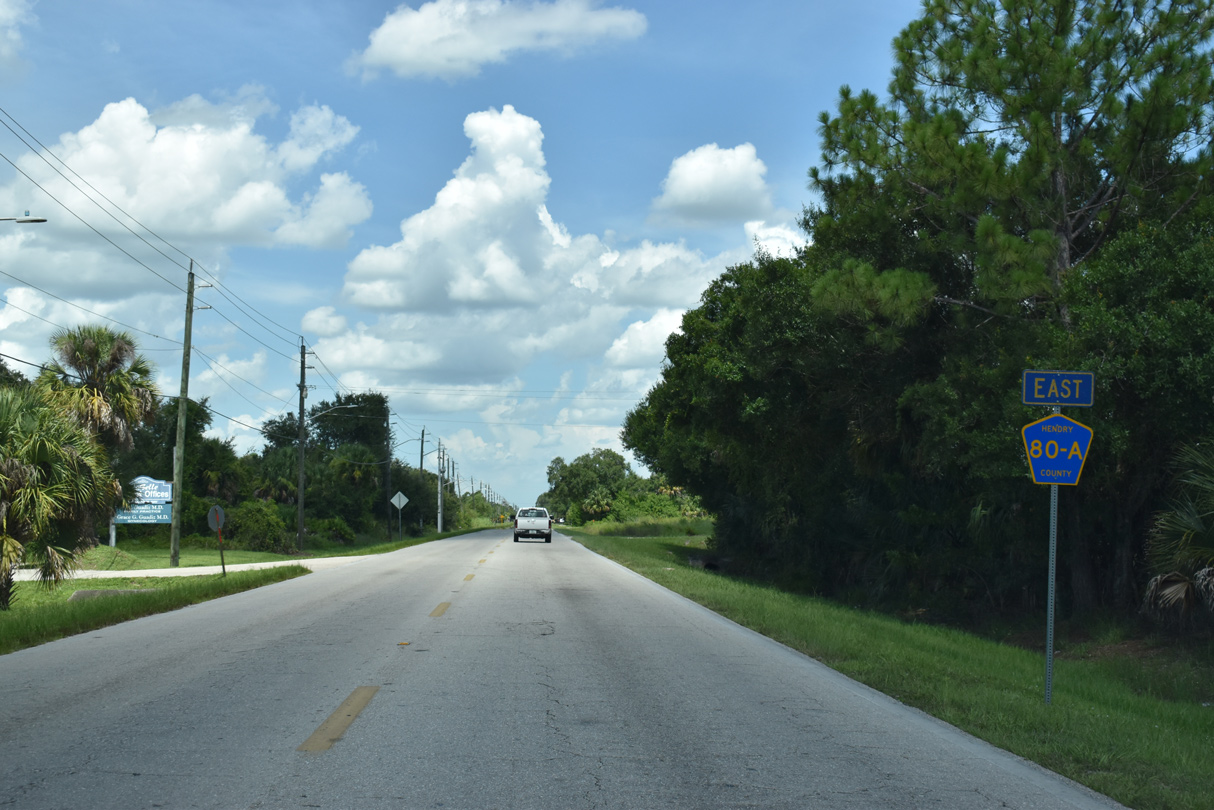
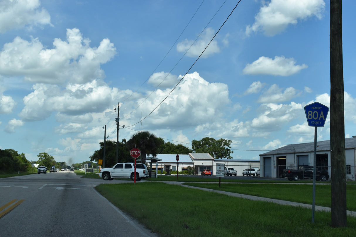
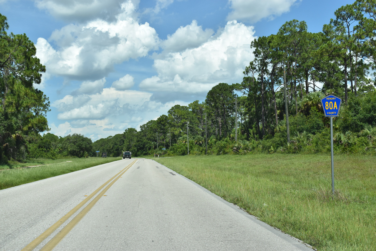
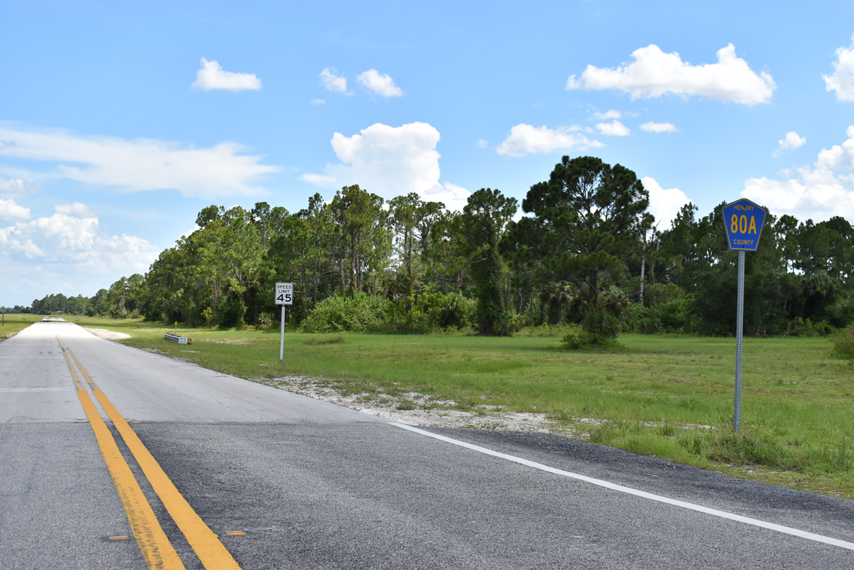
CR 80A confirming marker posted along Cowboy Way east of SR 80 and Fort Denaud Road.
07/02/19
Dr. Martin Luther King Boulevard north from Cowboy Way 0.92 miles to SR 80 (Hickpoochee Avenue) is unsigned CR 731. CR 731 meets CR 80A ahead of this reassurance shield.
07/02/19
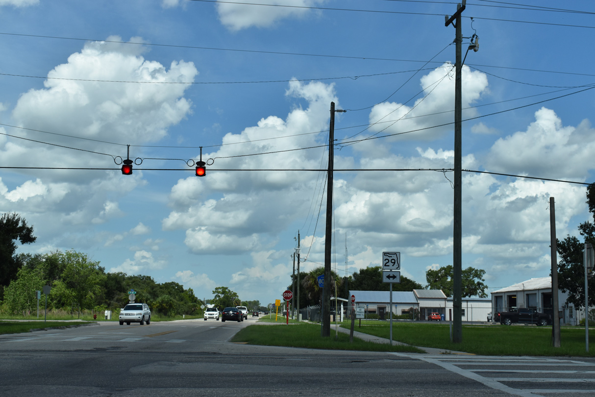
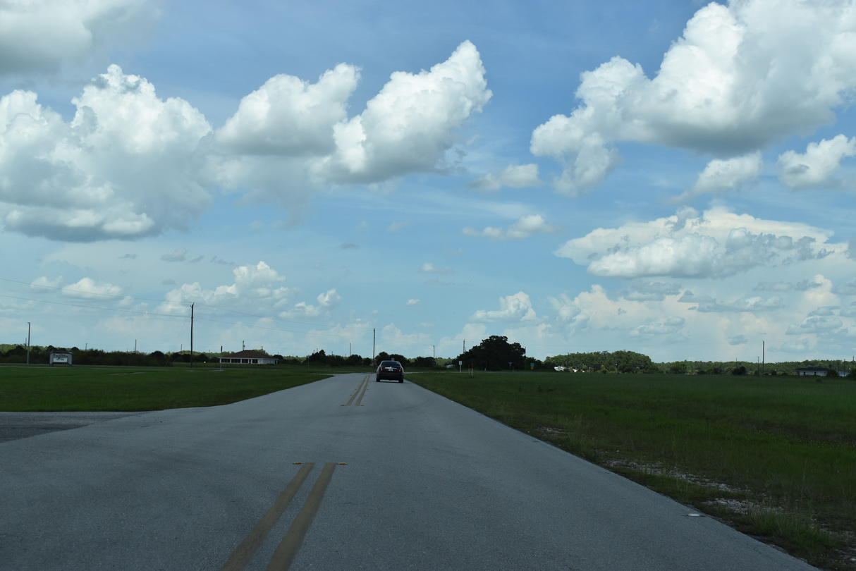
CR 80A (Cowboy Way) crosses SR 29 (Main Street) south of Downtown LaBelle. SR 29 connects the city with Felda and Immokalee to the south.
07/02/19
CR 80A (Cowboy Way) proceeds one block east from SR 29 to Bridge Street, the SR 29 truck route north to SR 80.
07/02/19
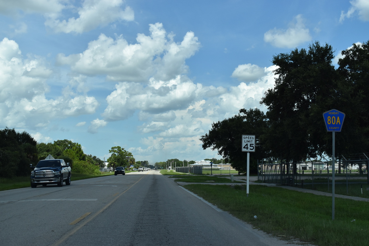
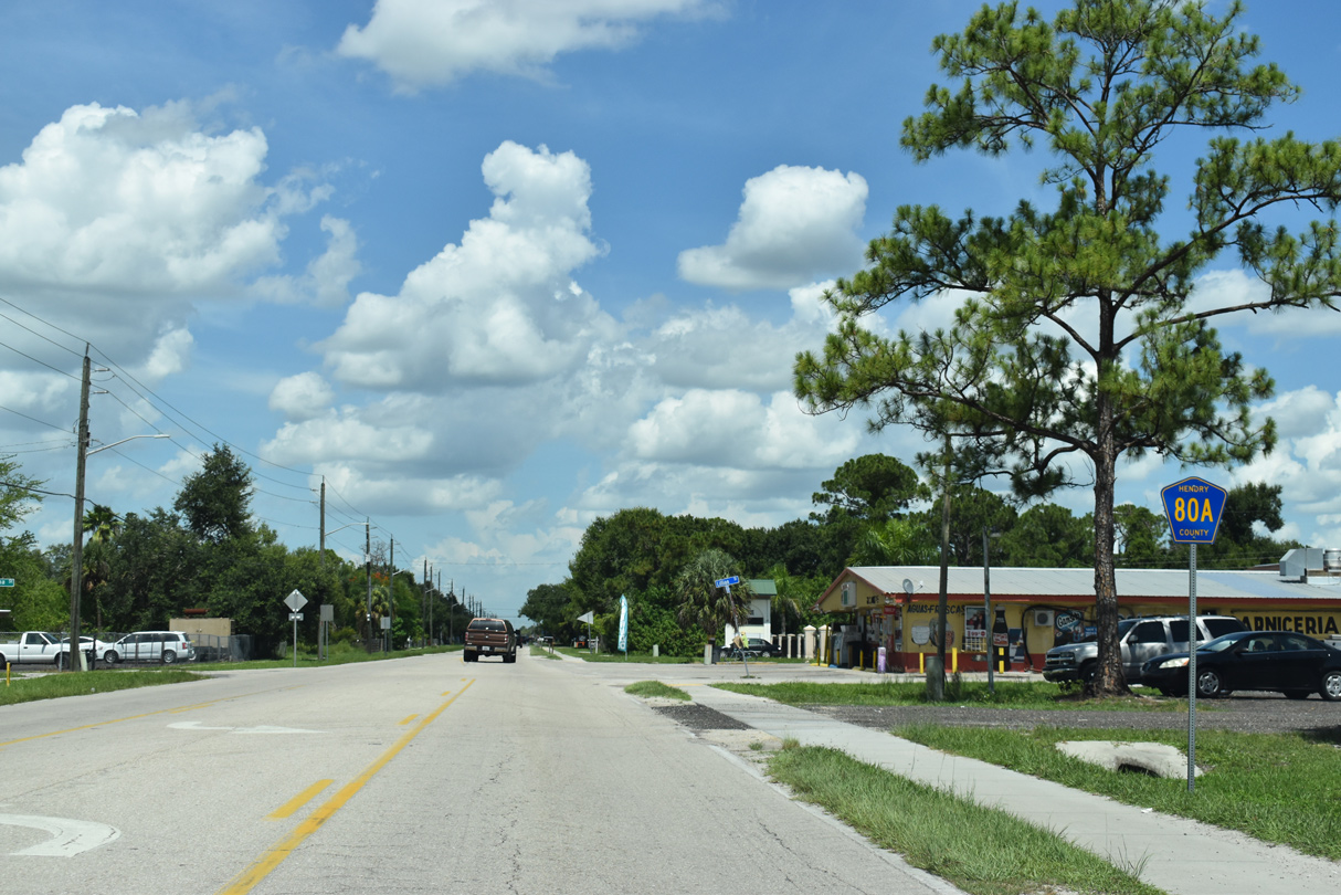
CR 80A remains well posted along Cowboy Way eastbound, with this assembly appearing along the north side of La Belle Municipal Airport (X14).
07/02/19
Elm Street stems north from CR 80A (Cowboy Way) into the LaBelle residential street grid ahead of this shield.
07/02/19
Cowboy Way enters Port LaBelle along an S-curve taking SR 80A across Eucalyptus Boulevard.
07/02/19
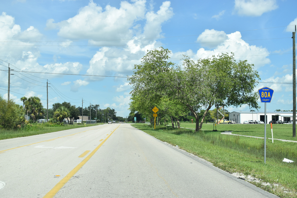
Eucalyptus Boulevard forms a full loop through the western half of Port LaBelle, returning to CR 80A beyond this reassurance marker.
07/02/19
Meeting Cowboy Way ahead, Raintree Boulevard forms a 360 degree loop through the eastern half of Port LaBelle.
07/02/19
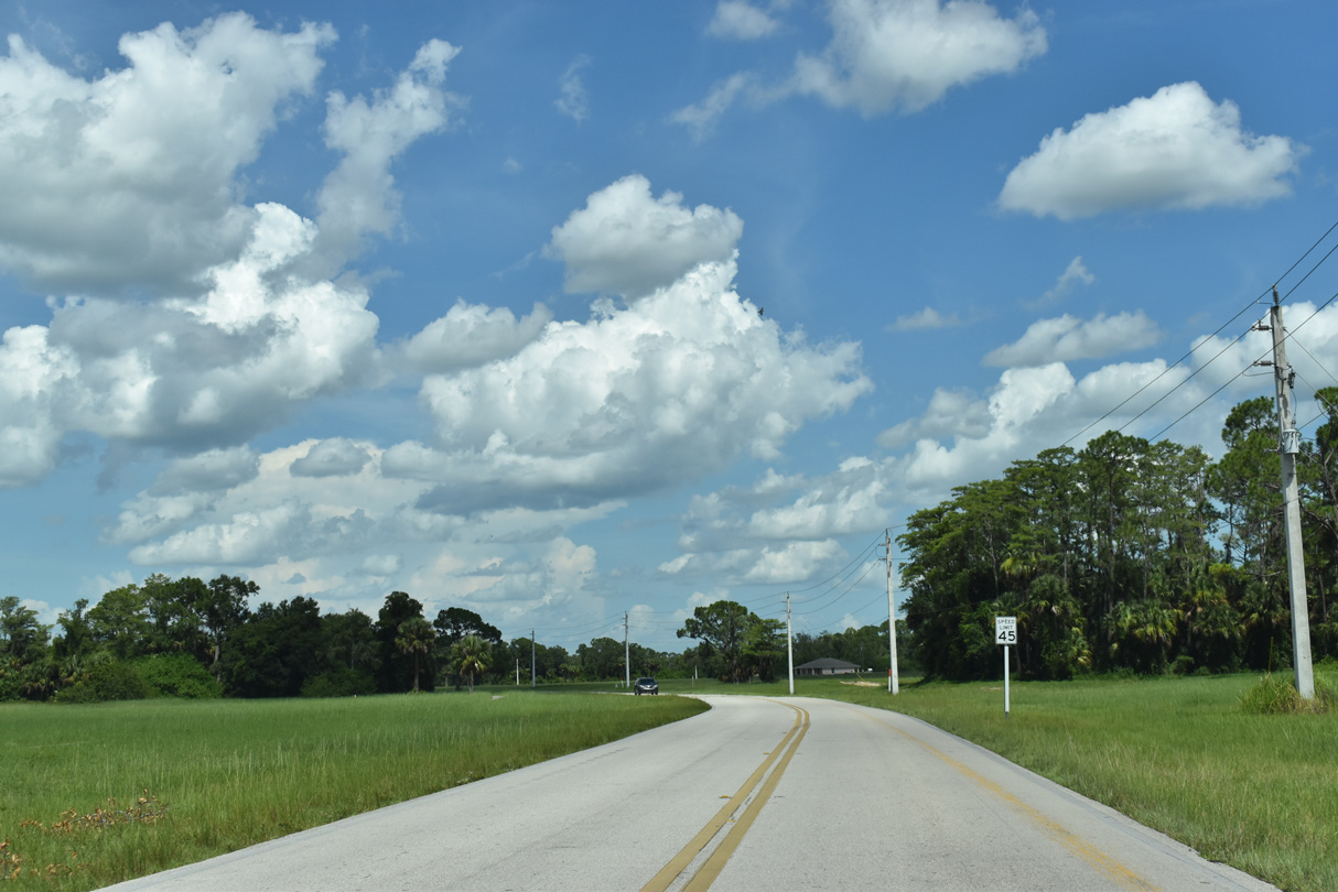
Cowboy Way east of Cedarwood Parkway.
07/02/19
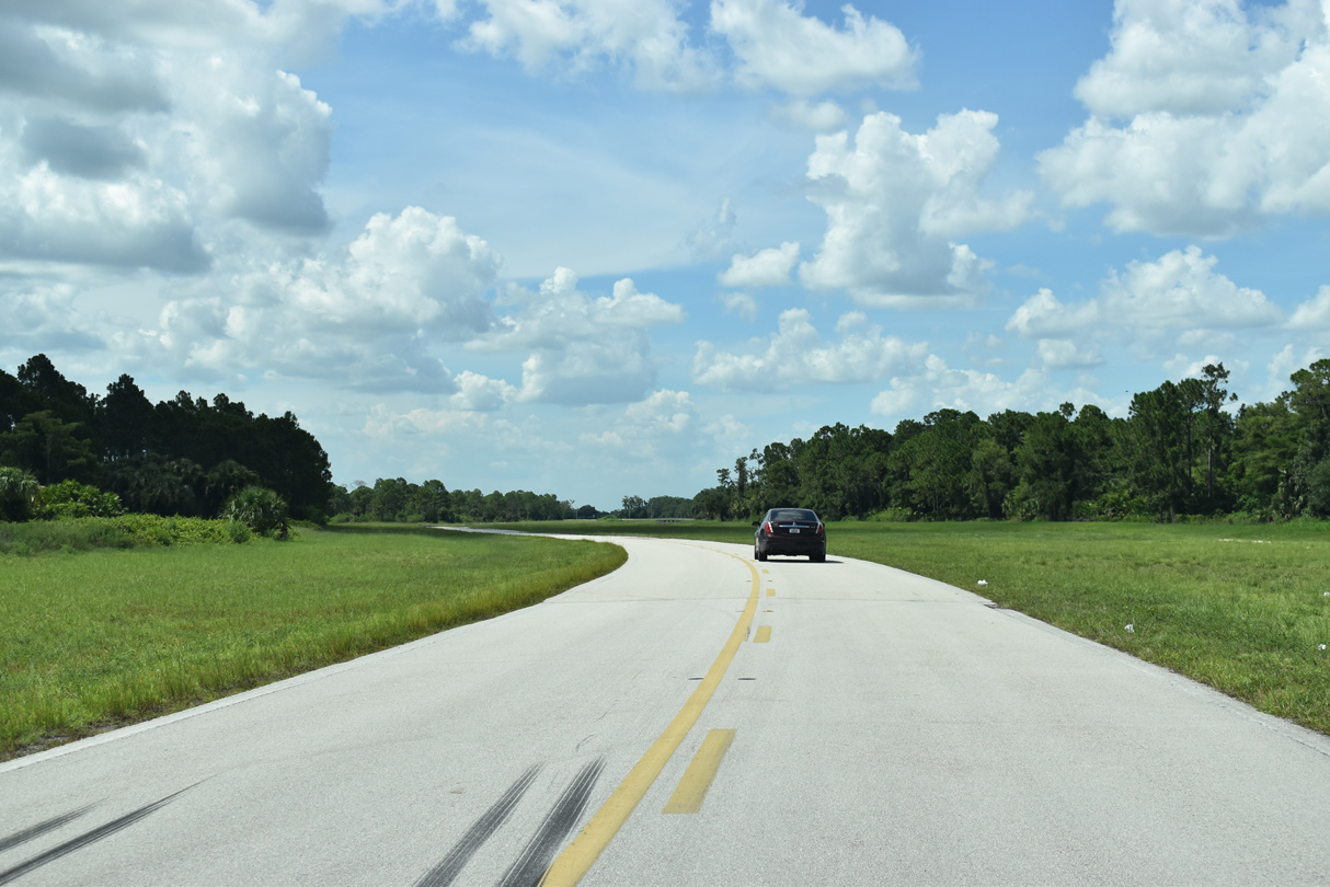
Curving northward toward Malibu Drive, Cowboy Way retains access control with only one intersection between here and SR 80.
07/02/19
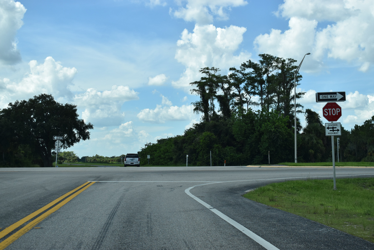
SR 80 is unmarked at the east end of County Road 80A (Cowboy Way). Cowgirl Way ties into the intersection from the north.
07/02/19
CR 80A begins along Cowboy Way south from SR 80 and Cowgirl Way with a confirming marker.
07/02/19
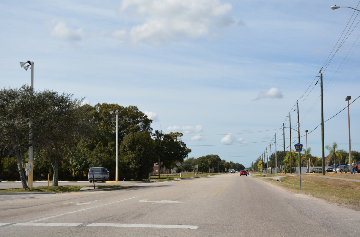
Cowboy Way crosses SR 29 (S Main Street) ahead of this reassurance shield for CR 80A.
11/26/16
References:
Photo Credits:
- Alex Nitzman, JP Nasiatka: 07/02/19
- ABRoads: 11/26/16
Connect with:
Page Updated Wednesday November 27, 2019.