
County Road 105A - Fernandina Beach

County Road 105A at the city of Fernandina Beach is an unsigned route with two separate sections. The southern segment runs 3.73 miles north from a roundabout with SR A1A (Fletcher Avenue) to SR A1A/200 (S 8th Street) near Sadler Road (CR 108). Following Buccaneer Trail, CR 105A arcs east through the Amelia River Golf Course to Amelia Island Parkway. Encircling Fernandina Beach Municipal Airport (FNB), CR 105A continues along Amelia Island Parkway to Amelia Road. Amelia Road takes CR 105A north to S 8th Street.
The northern alignment of CR 105A loops 2.08 miles east from SR A1A/200 (S 8th Street) to SR A1A (Atlantic Avenue) one block from Central Park. CR 105A initially follows Woodrow Road east and Island Walkway north, two local streets between S 8th Street and S 14th Street. CR 105 lines S 14th Street north through the Fernandina Beach street grid to Atlantic Avenue.
 North
North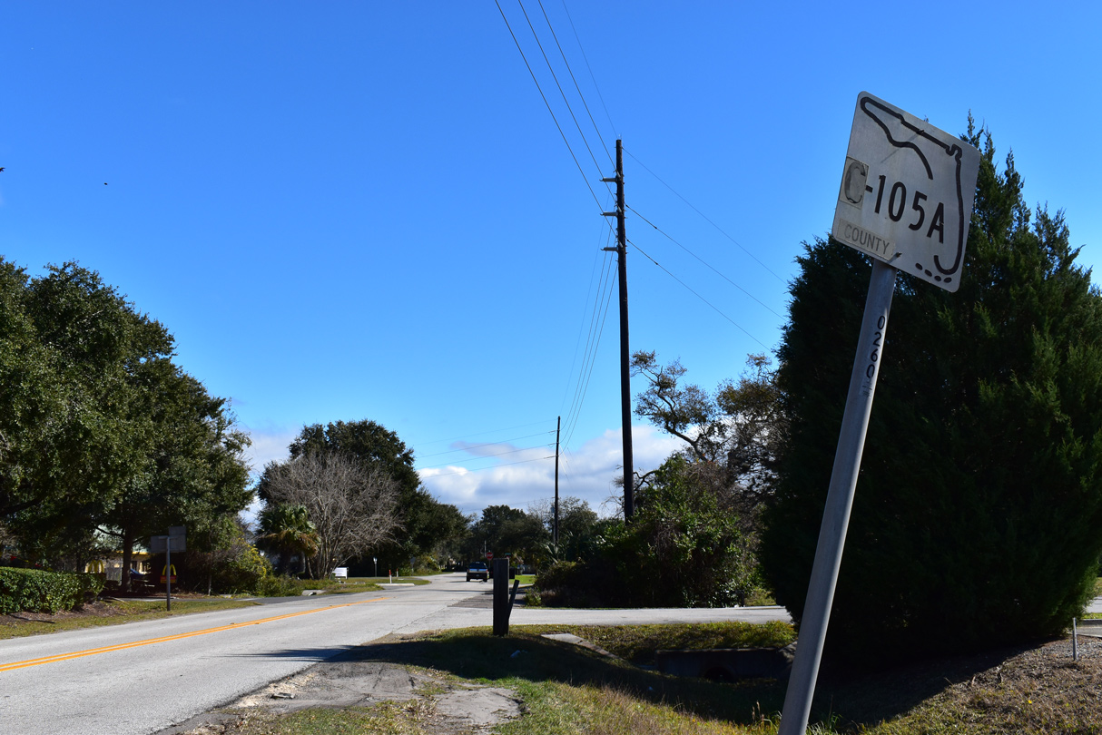
The lone shield assembly referencing CR 105A was a vintage shield dating back to when it was Florida Secondary Road 105A. Removed by 2020, it was posted along Woodrow Road just east of SR A1A/200 (S 8th Street).
01/20/19
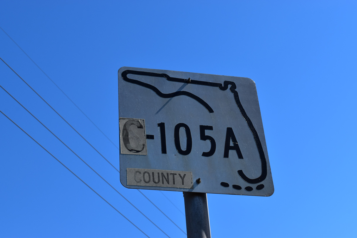
The C-105A keys shield was date stamped on July 25, 1969.
01/20/19
South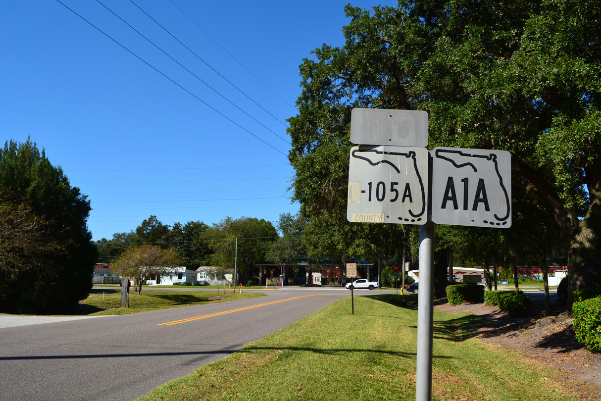
Woodrow Road (CR 105A) west ties into SR A1A/200 (S 8th Street) just north of Sadler Road (CR 108).
10/16/22
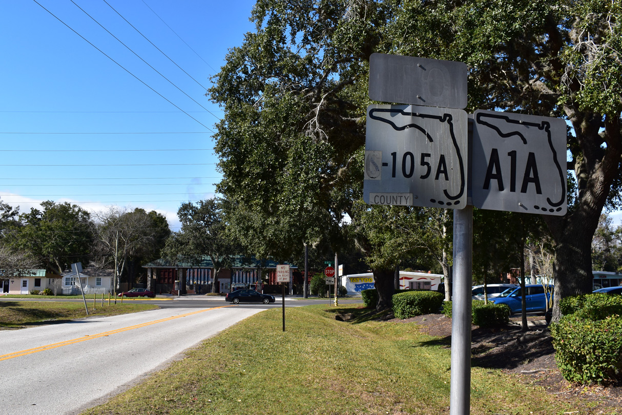
A vintage trailblazer references the continuation of CR 105A south from SR A1A (S 8th Street) along nearby Amelia Road. These keys shields were date stamped on January 30, 1969.
01/20/19
Photo Credits:
- Brent Ivy: 01/20/19
- Alex Nitzman: 10/16/22
Connect with:
Page Updated Wednesday October 19, 2022.