
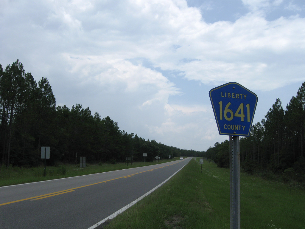
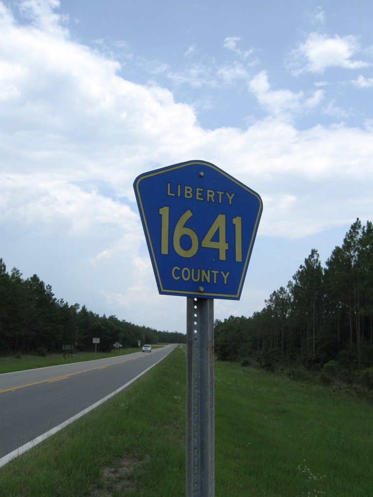
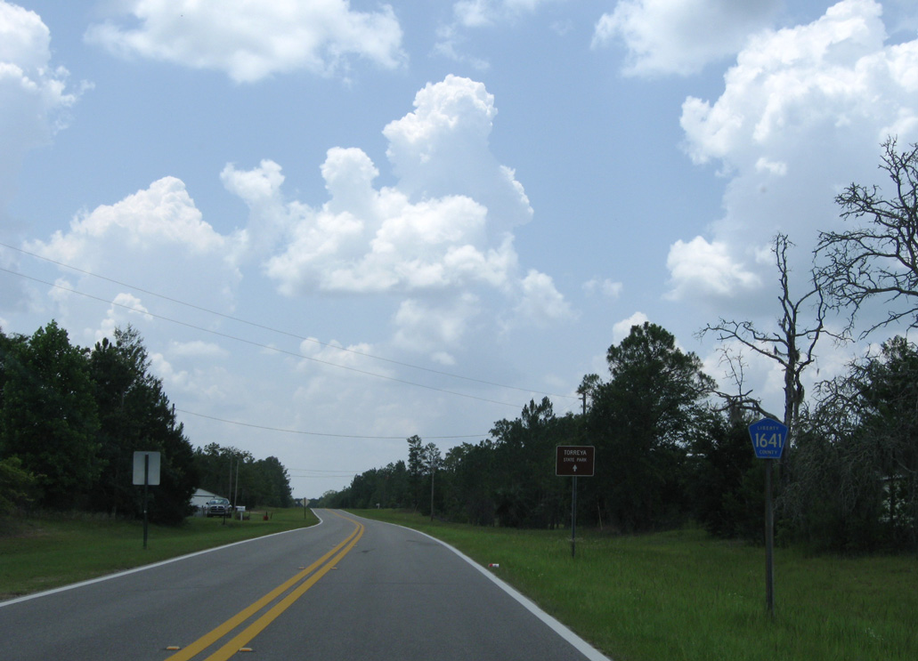
County Road 1641
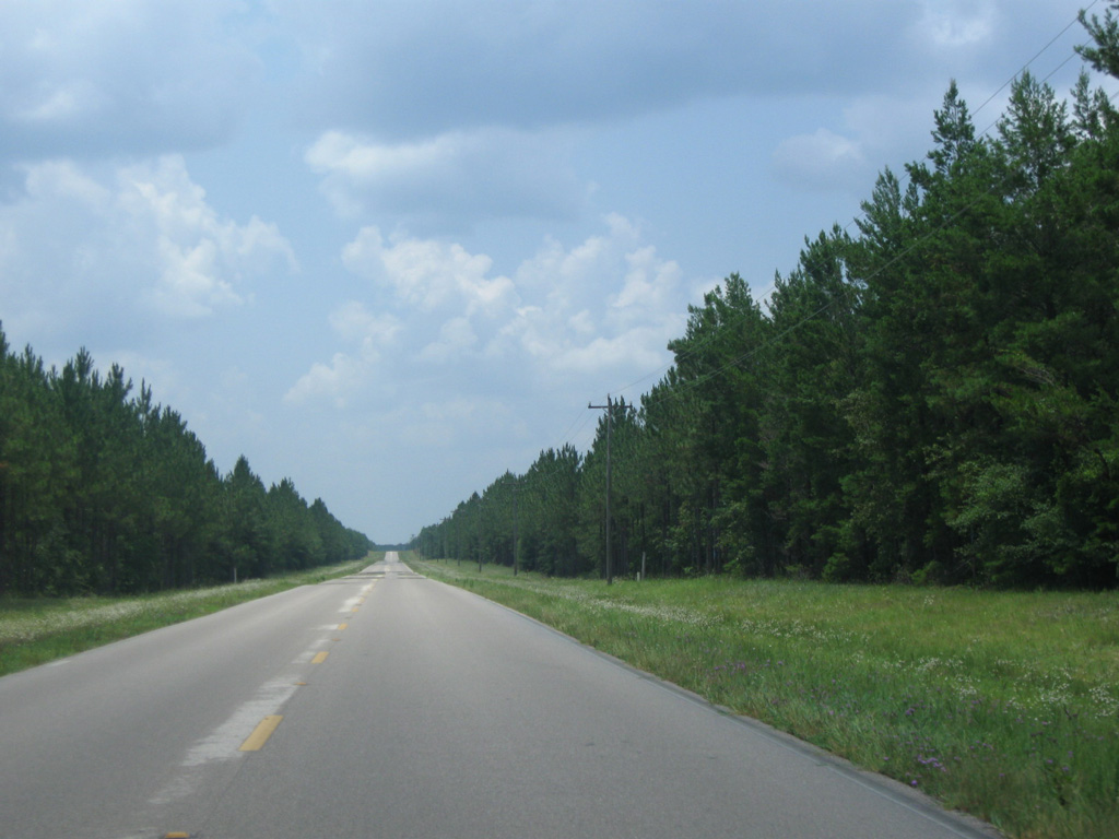
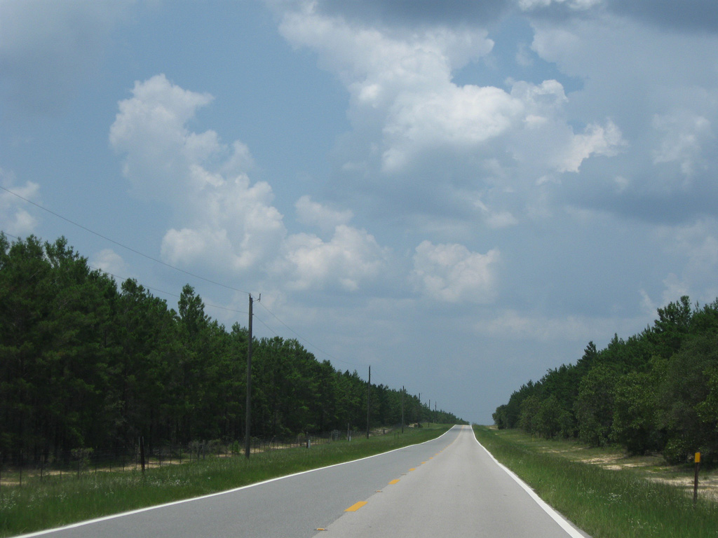
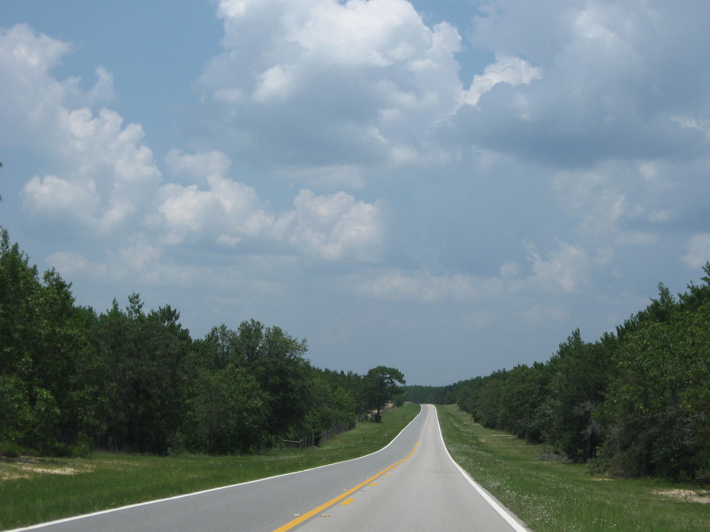
Liberty County Road 1641 travels northwest on Dempsey Barron Road from SR 20 through Robert Brent Wildlife Management Area 7.10 miles to SR 12. Torreya Park Road extends the route another 6.54 miles from SR 12 to Rock Bluff and the entrance to Torreya State Park. CR 1641 was numbered in place of CR 271 by 1998. CR 271 has no other branches in Liberty County, but two in neighboring Jackson County to the north.

06/27/09
06/27/09
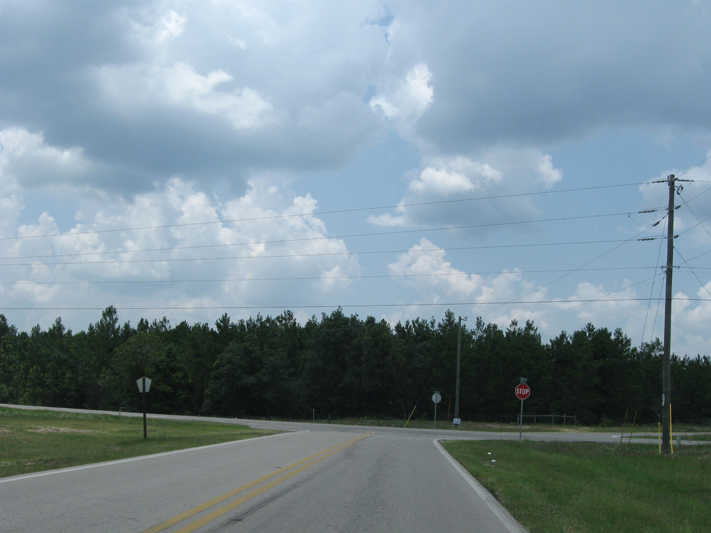
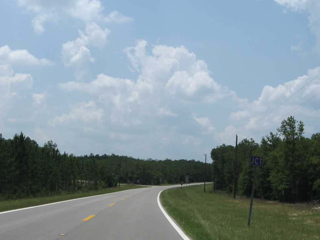
CR 1641 (Dempsey Barron Road) meets SR 12 at an unmarked intersection by Torreya State Park.
06/27/09
06/27/09
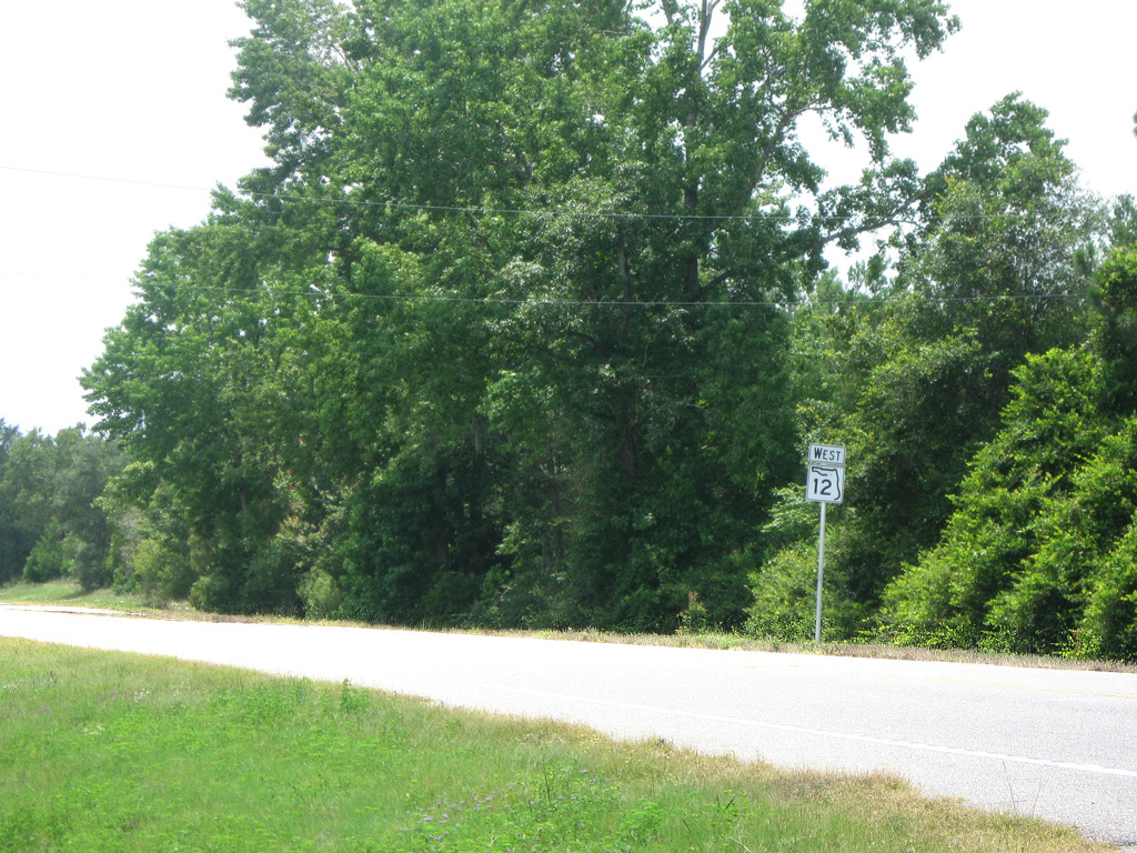
SR 12 angles southwest to SR 20 at Bristol.
06/27/09
06/27/09
06/27/09
06/27/09
06/27/09
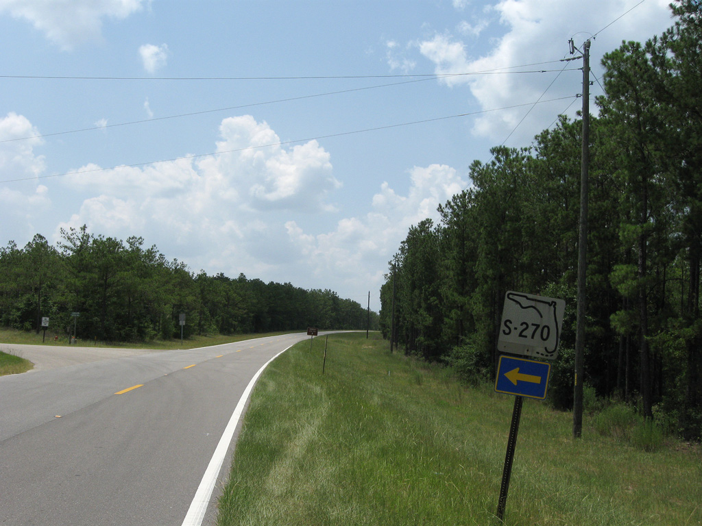
The junction banner was date stamped in 1966 and the S-270 shield in 1977.
06/27/09
06/27/09
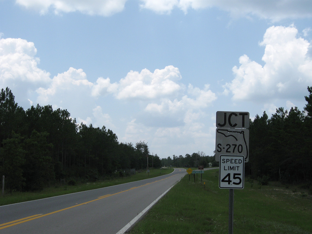
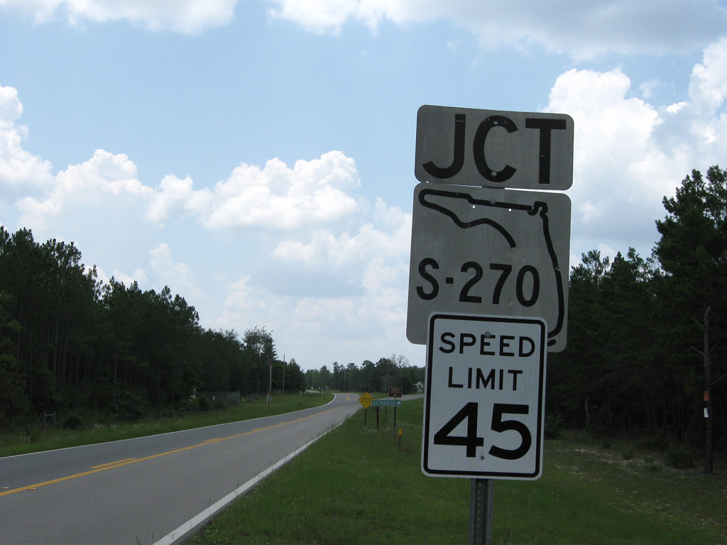
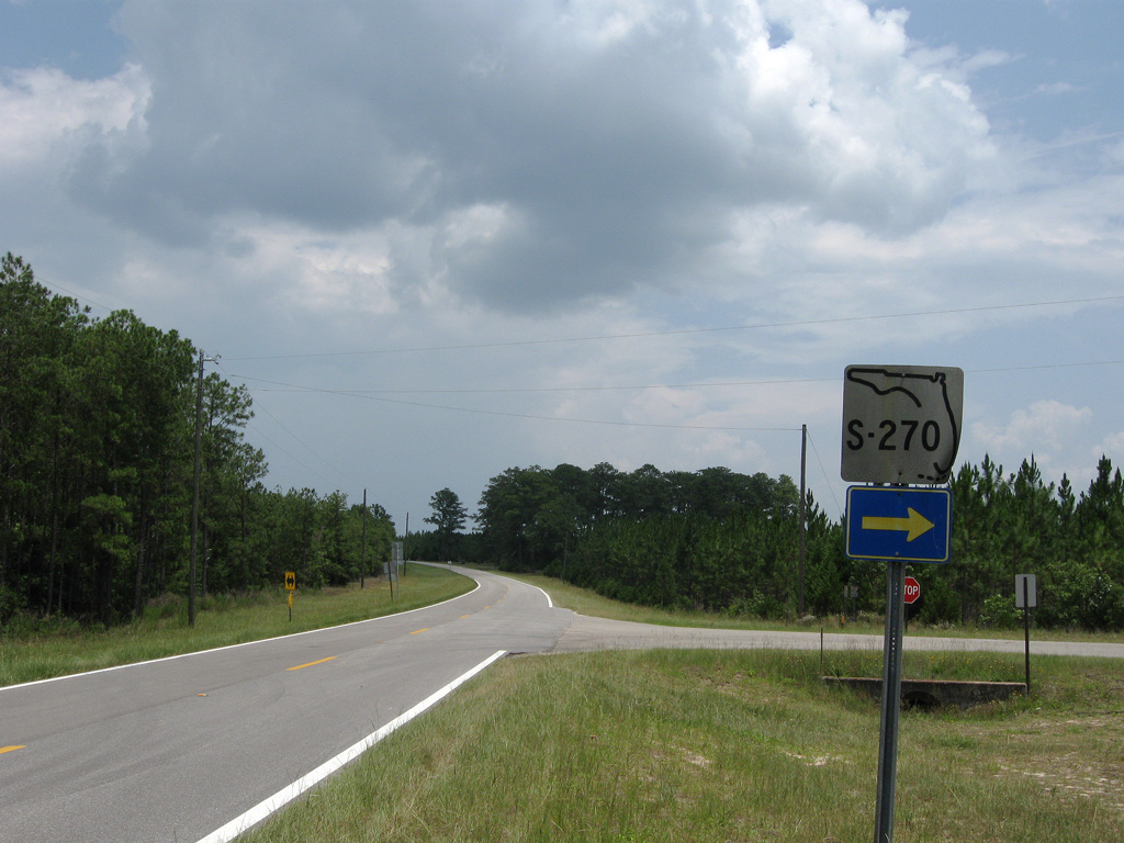
County Road 270 loops east from CR 1641 to SR 12 at Greensboro.
06/27/09
06/27/09
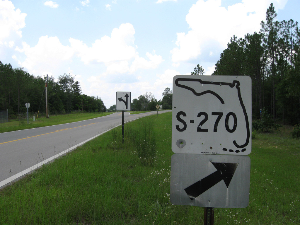
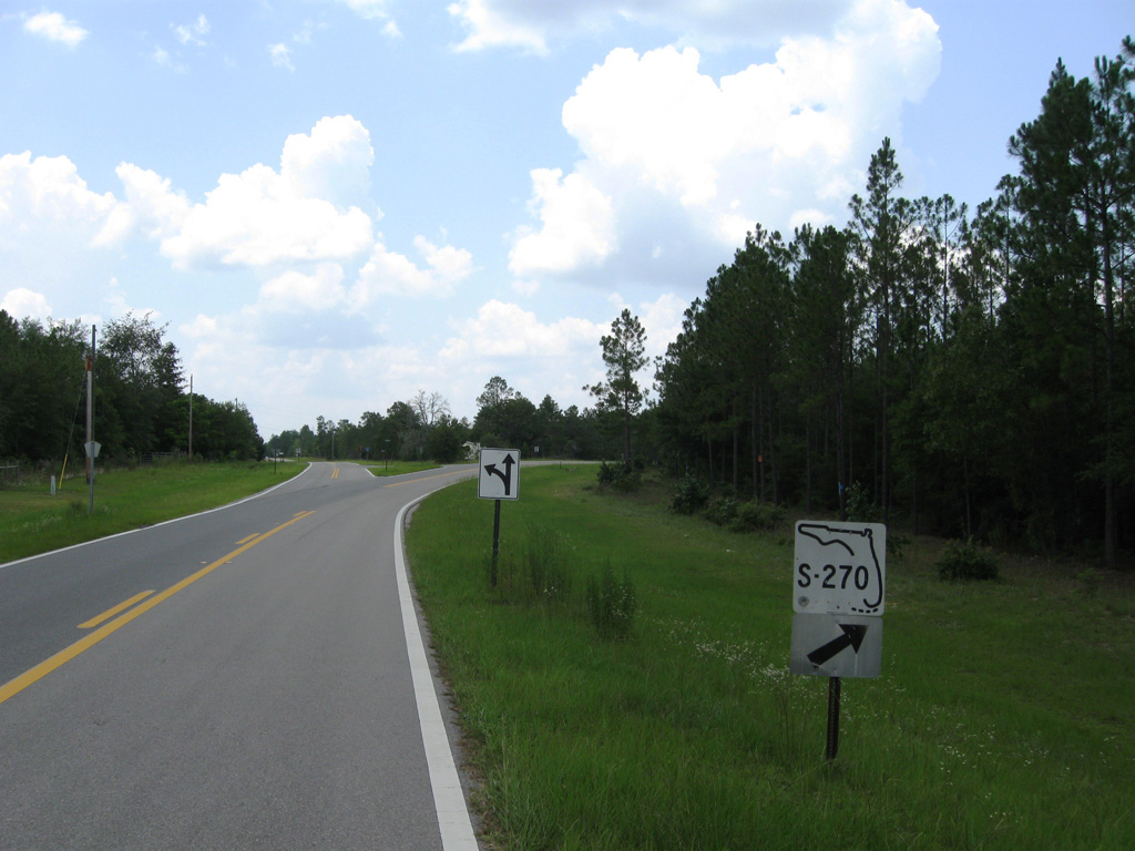
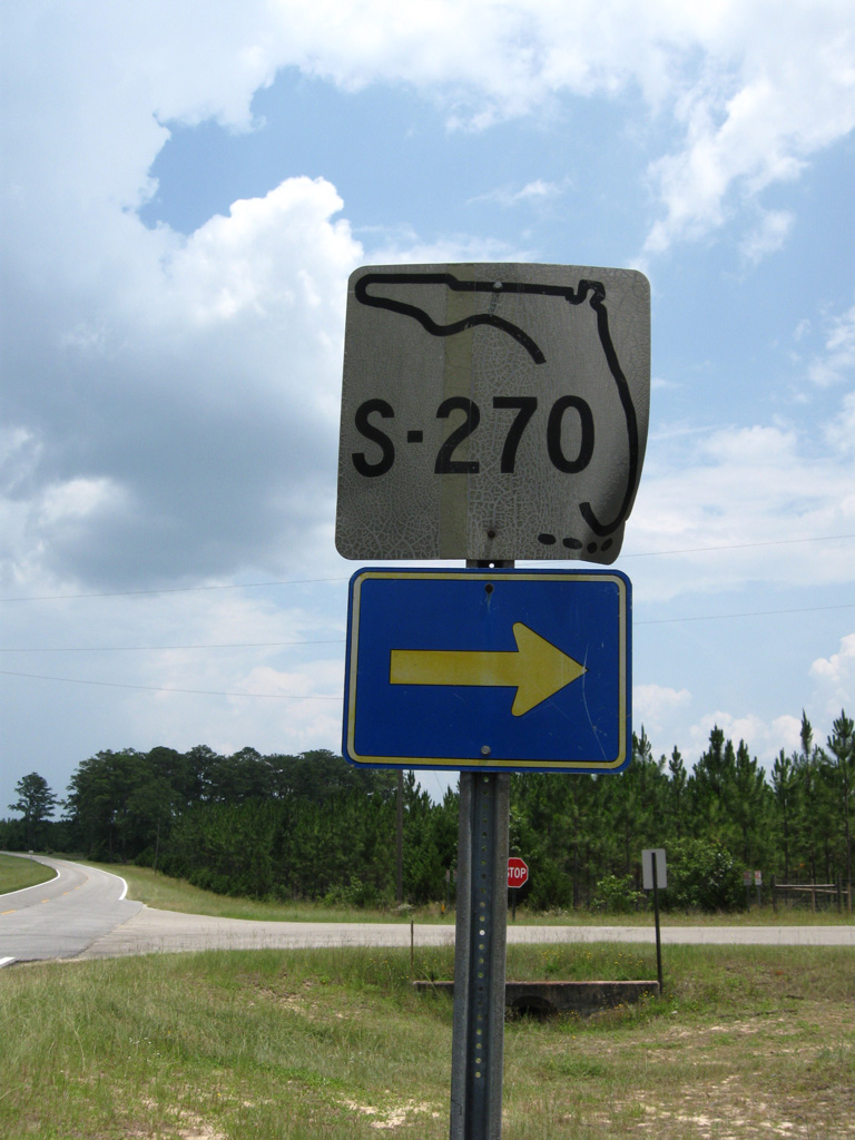
The S-270 keys shield at the split with CR 1641 (Torreya Park Road) was date stamped 10-27-76.
06/27/09
06/27/09
CR 1641 turns west to NW Phillips Road (former CR 270A) at Rock Bluff.
06/27/09
06/27/09
06/27/09
06/27/09
The western branch of CR 270 loops south from CR 1641 (Torreya Park Road) 7.72 miles to SR 12.
06/27/09
06/27/09
CR 1641 spurs one mile north from CR 270 (Martin L. King Road) to a gate for Torreya State Park.
06/27/09
06/27/09

Date stamped on 08-13-70, the keys shield for S-270 at Martin L. King Road was replaced with a County Road C-270 shield by 2011.
06/27/09
06/27/09
CR 1641 (Torreya Park Road) converges with CR 270 north from Martin L. King Road.
06/27/09
06/27/09
The former keys shield for S-270 on CR 1641 southbound was date stamped 08-13-70.
06/27/09
06/27/09
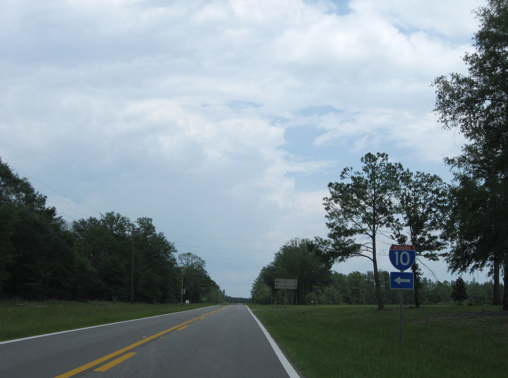
NW Phillips Road (former CR 270A) provides a cutoff to CR 270 northeast. The closest interchange with I-10 is north of CR 270 via CR 269 and CR 270A.
06/27/09
06/27/09
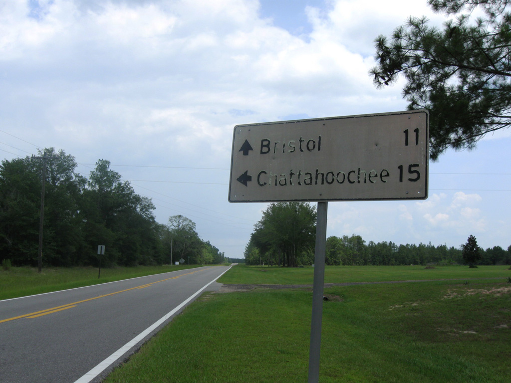
Date stamped 09-13-68, this vintage distance sign was carbon copied by Liberty County by 2013.
06/27/09
06/27/09
Photo Credits:
- ABRoads: 06/27/09
Connect with:
Page Updated Thursday April 23, 2020.