
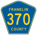
County Road 370
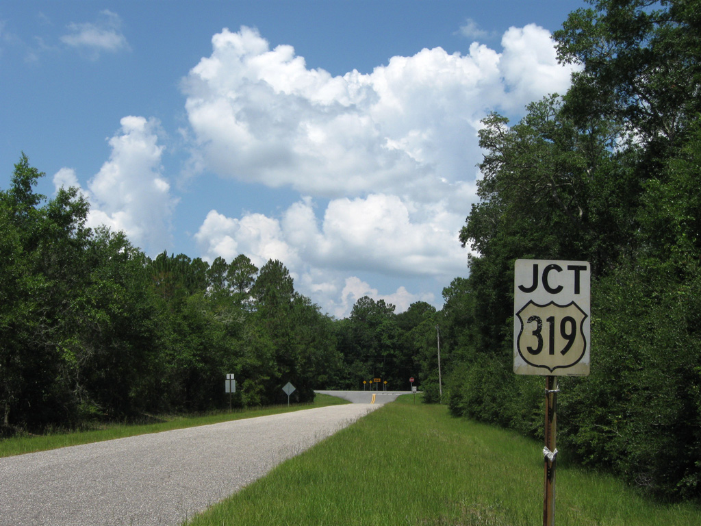
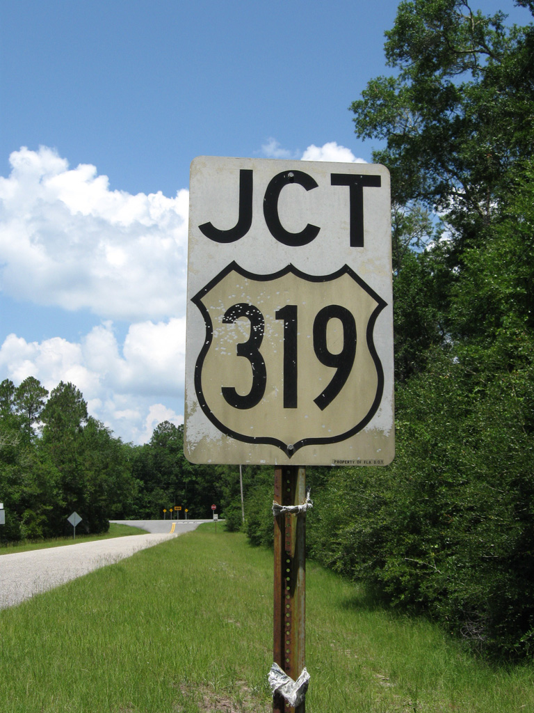
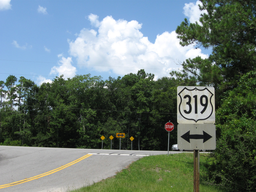
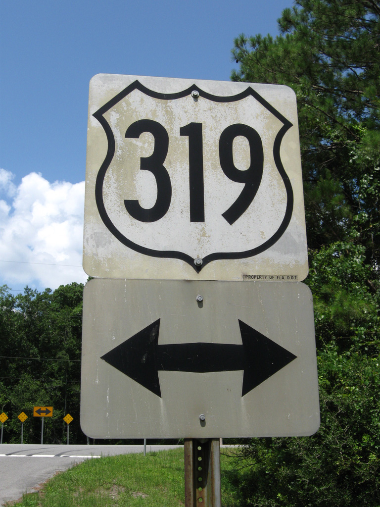
There are two branches for County Road 370 in coastal areas of Franklin County. Paralleling the Ochlockonee River, the northern segment is just 0.86 miles long on Rio Vista Drive east from U.S. 319 to a boat ramp at Cox Creek. The 8.69 mile long southern leg follows a hook shaped route from U.S. 98 on St. James Island out to Alligator Point. Following Alligator Drive, CR 370 heads southeast to Bald Point State Park and Lighthouse Point and west to Peninsula Point off Alligator Harbor.
Origins of CR 370 around Alligator Harbor date back to 1943 when the route was a part of Florida Secondary 301. S-301 was a route planned to connect SR 10 near Metcalf Point with U.S. 301 north of Silver Lake. S-370 was applied to S-301 along an unpaved route east from U.S. 319 on St. James Island by 1950. The 1952 General Highway Map for Franklin County, Florida shows S-370 southeast to Lighthouse Point, with a second branch straddling the coast along Bald Point Road northward. S-370 along Rio Vista Drive was added by 1956. Unpaved S-370 south of Rio Vista Drive was dropped by 1972.
06/27/09
06/27/09
06/27/09
06/27/09
Photo Credits:
- ABRoads: 06/27/09
Connect with:
Page Updated Thursday April 23, 2020.