
County Road 372

County Road 372 meanders 11.73 miles southeast from U.S. 319 at Sopchoppy to Ochlockonee Point on Apalachee Bay. CR 372 between Surf along Ocholockonee Bay and Sopchoppy traverses areas of St. Marks National Wildlife Refuge. East of U.S. 98, CR 372 (Mashes Sands Road) serves a number of bayfront homes and a handful of canal lined streets.
Florida Secondary 372 was designated along its current course by 1952. S-372A was also established west from SR 61 along Otter Lake Road to Pancea Park and Otter Lake in 1952. The eastern branch of S-372A (Bottoms Road) to Porter Island and Dickerson Bay was established along with S-372B on Levy Bay Road south of Panacea by 1958. An additional leg of S-372B along Clark Drive at Panacea was added to the area road network by 1975. Subsequently removed from the county road system, all of the suffixed branches of CR 372 remained on FDOT General Highway Maps of Wakulla County until at least 1990.
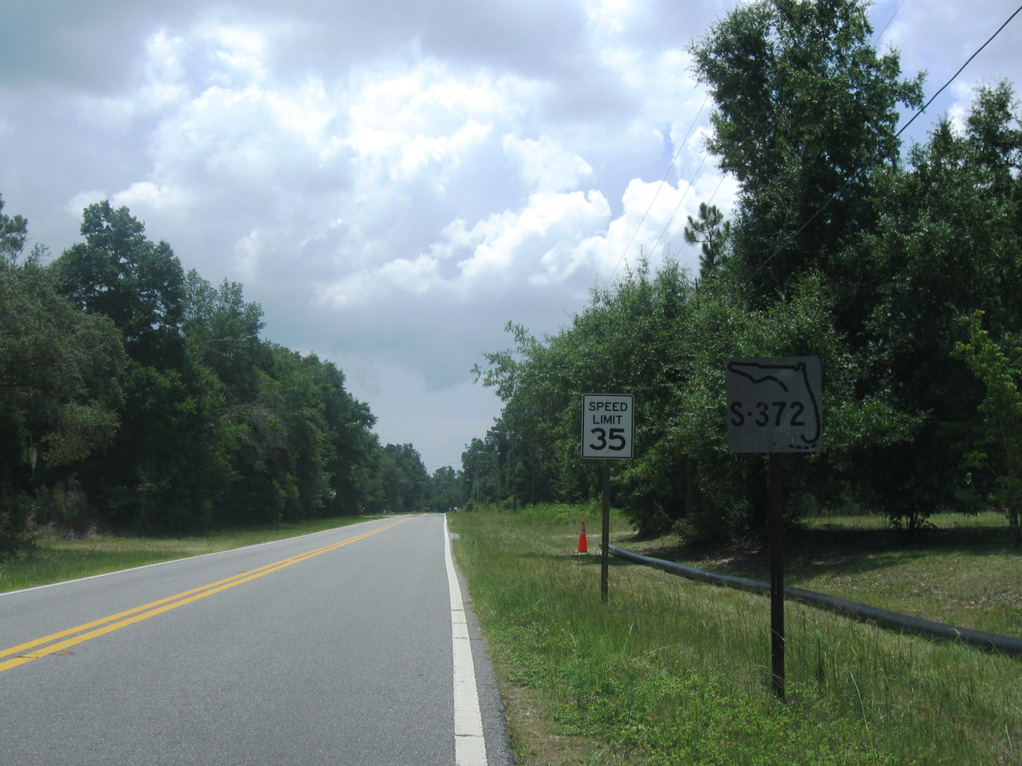
The first shield for CR 372 was date stamped 09-14-66.
06/27/09
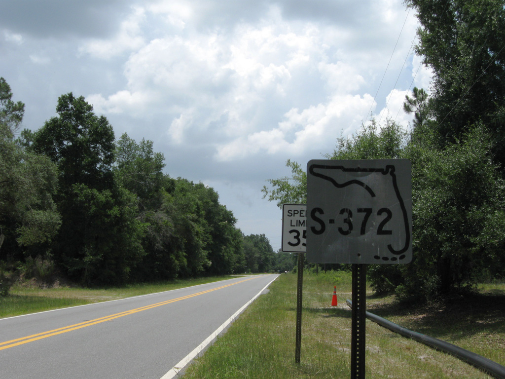
The addition of a multi use trail along the south side of CR 372 after 2013 eliminated the lone shield for the route at U.S. 319.
06/27/09
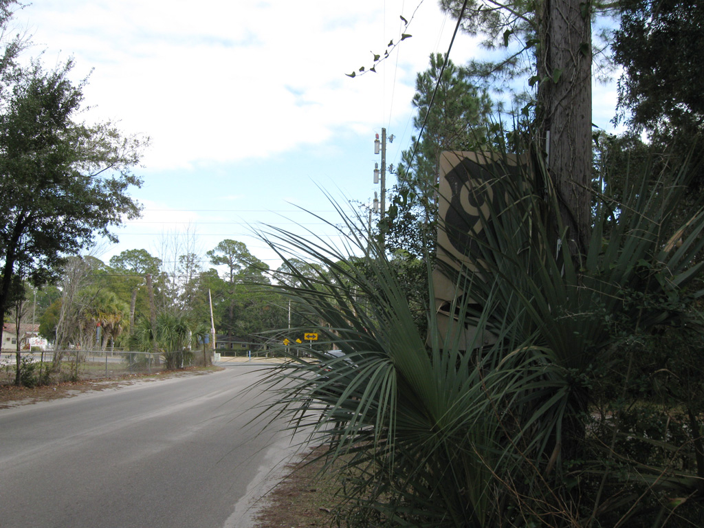
Vintage U.S. 98 formerly posted on Otter Lake Road (old CR 372A) east at U.S. 98 (Coastal Highway) in Panacea.
01/15/11
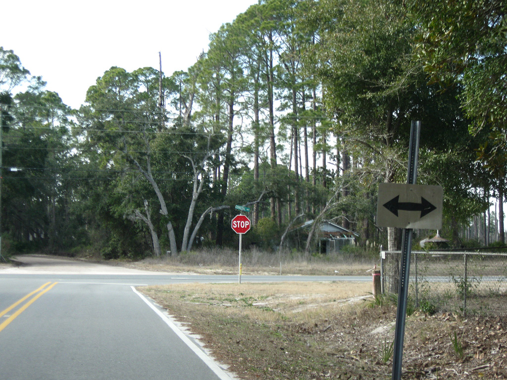
A remnant arrow from a U.S. 98 shield assembly at the north end of Levy Bay Road (old CR 372B) at Pancea.
01/15/11
Photo Credits:
- ABRoads: 06/27/09
- Brent Ivy: 01/15/11
Connect with:
Page Updated Friday April 24, 2020.