
County Road 445

Hernando County 445 bisects the city of Brooksville along a 3.15 mile alignment of Main Street and Howell Avenue. The route is only signed at its end points, which lie outside the city limits.
A second County Road 445 alignment runs through Ocala National Forest in northern Lake County. The 10.86 mile route winds east from State Road 19 to State Road 40.
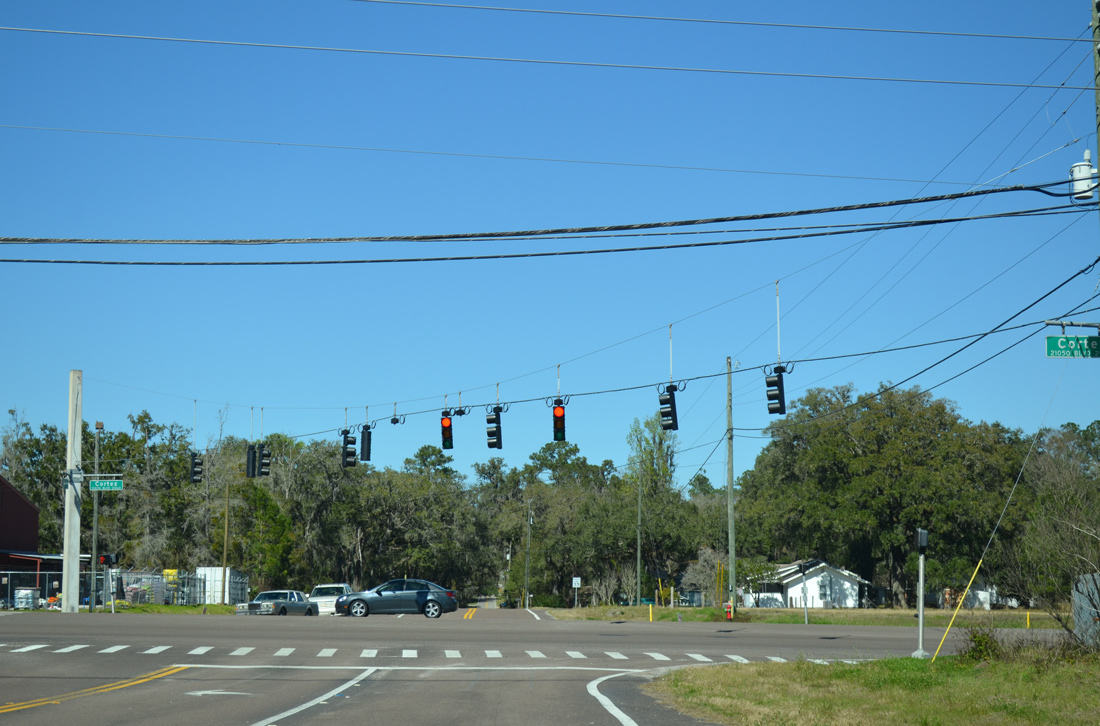
Mitchell Road, an unsigned branch of County Road 581, ends opposite the beginning of County Road 445 (Main Street) at SR 50 (Cortez Boulevard). Main Street enters a residential area to Downtown Brooksville.
02/17/14
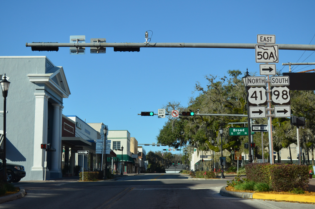
Main Street reaches the Brooksville business district at the one way street couplet of U.S. 41, U.S. 98 and SR 50A. U.S. 41 north & 98 south follow Broad Street east from Mildred Avenue to Jefferson Street before splitting for Floral City and Ridge Manor respectively.
02/09/14
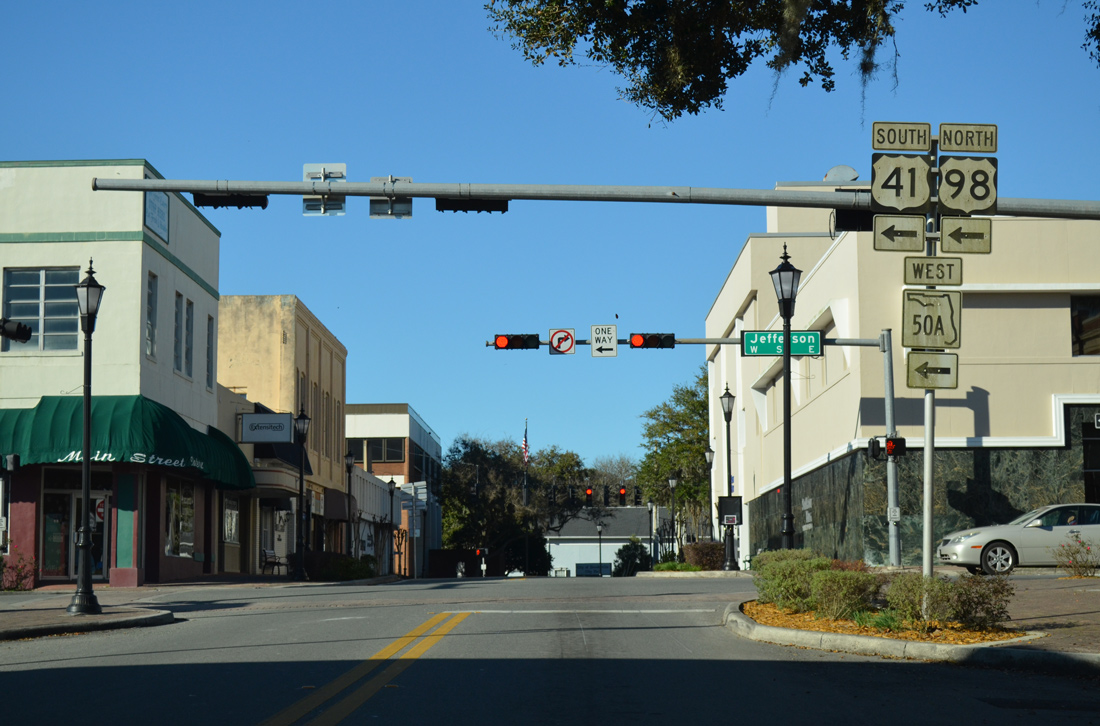
One block further, Main Street intersects U.S. 41 south & 98 west at Jefferson Street. SR 50A follows U.S. 98 west from Cortez Boulevard to Ponce De Leon Boulevard as well.
02/09/14
Main Street becomes Howell Avenue at Fort Dade Avenue (CR 484). Howell Avenue winds northeast from Downtown to end at U.S. 41 (Broad Street) just north of Yontz Road (former CR 485B).
02/09/14
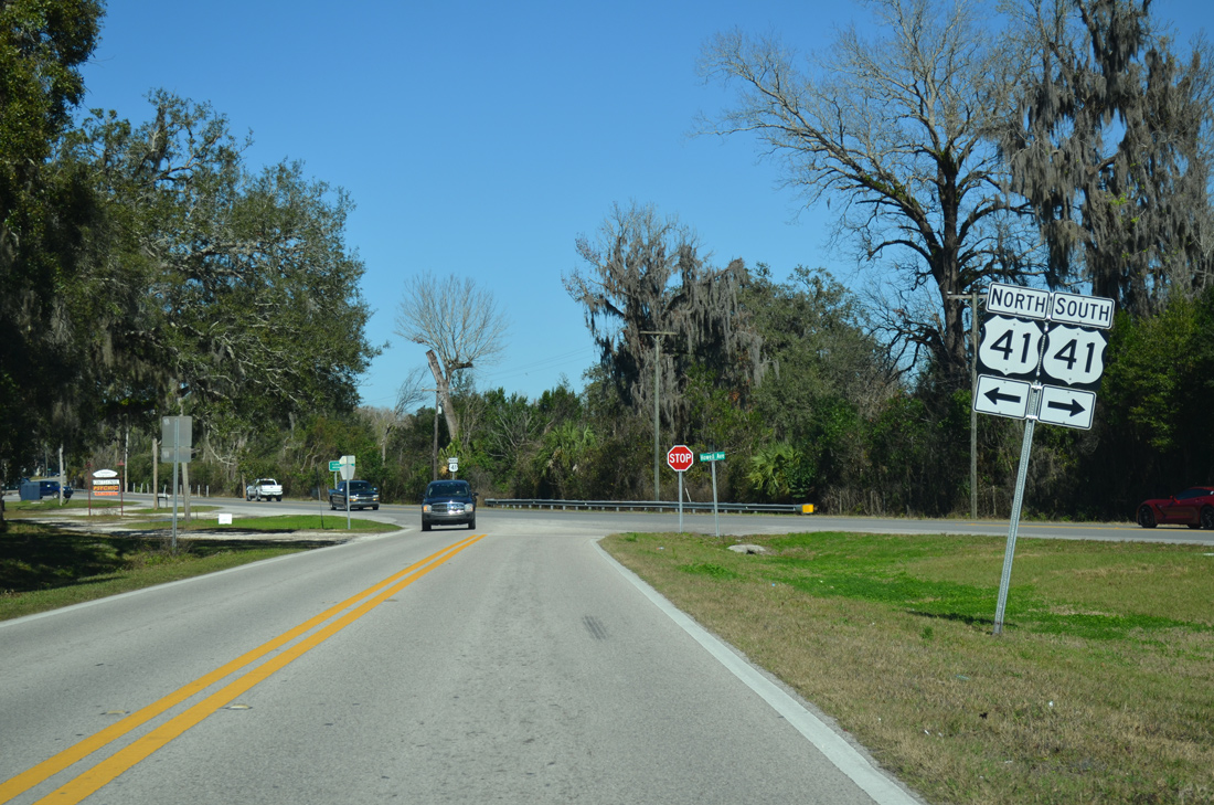
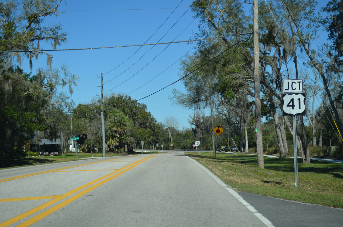
U.S. 41 curves northeast from Brooksville through Withlacoochee State Forest and Citrus County from the ending County Road 445.
02/09/14
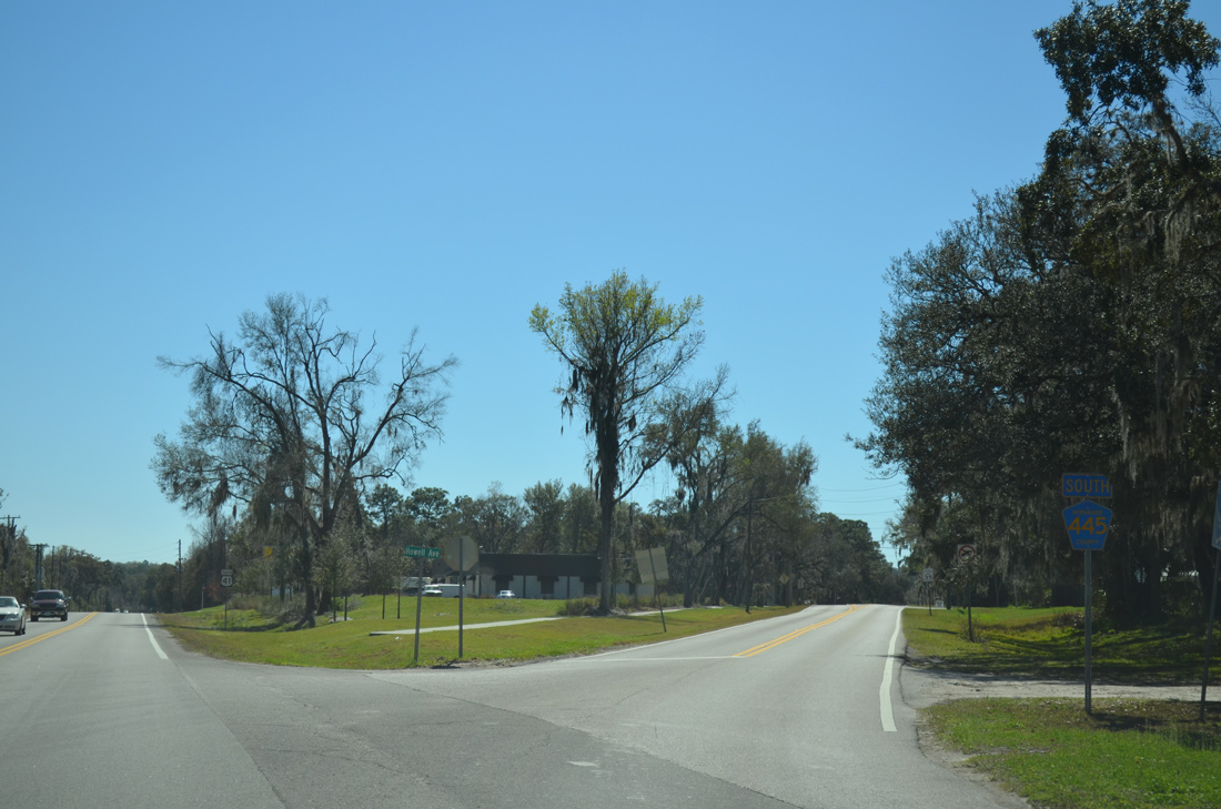
The only reassurance marker for County Road 445 posted along the entire route in either direction stands along Howell Avenue at the separation with U.S. 41 south.
02/17/14
Photo Credits:
- ABRoads: 02/17/14
- AARoads: 02/09/14
Connect with:
Page Updated Thursday February 27, 2014.