
Hernando County Road 550 - Cortez Boulevard

County Road 550 is a 6.34 mile long spur of Cortez Boulevard west from U.S. 19 (Commercial Way) and State Road 50 in the city of Weeki Wachee. The coastal road travels through Chassahowitzka Wildlife Management Area to North Bayport, where CR 495 spurs north to Pine Island and CR 550 turns south to Bayport and Bayport Park.
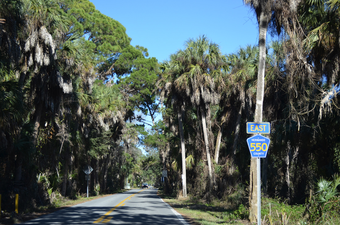
Exiting Bayport Park, motorists immediately see the first shield for Hernando County Road 550 east along Cortez Boulevard.
02/15/14
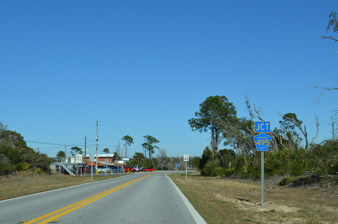
1.4 miles further north is the south end of Hernando County Road 495 (Pine Island Drive).
02/15/14
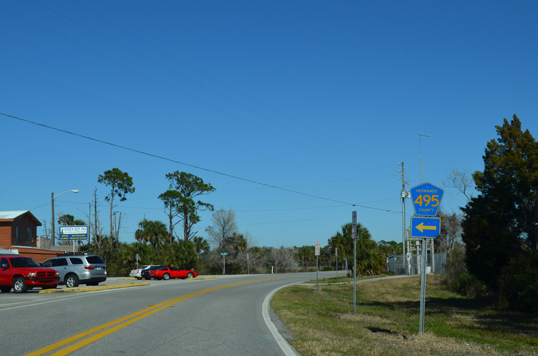
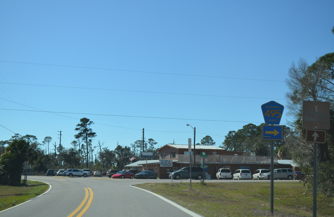
Pine Island Drive spurs 2.45 miles to the north and west onto Pine Island as County Road 495.
02/15/14
Cortez Boulevard takes a causeway east from North Bayport to the Hernando County mainland.
02/15/14
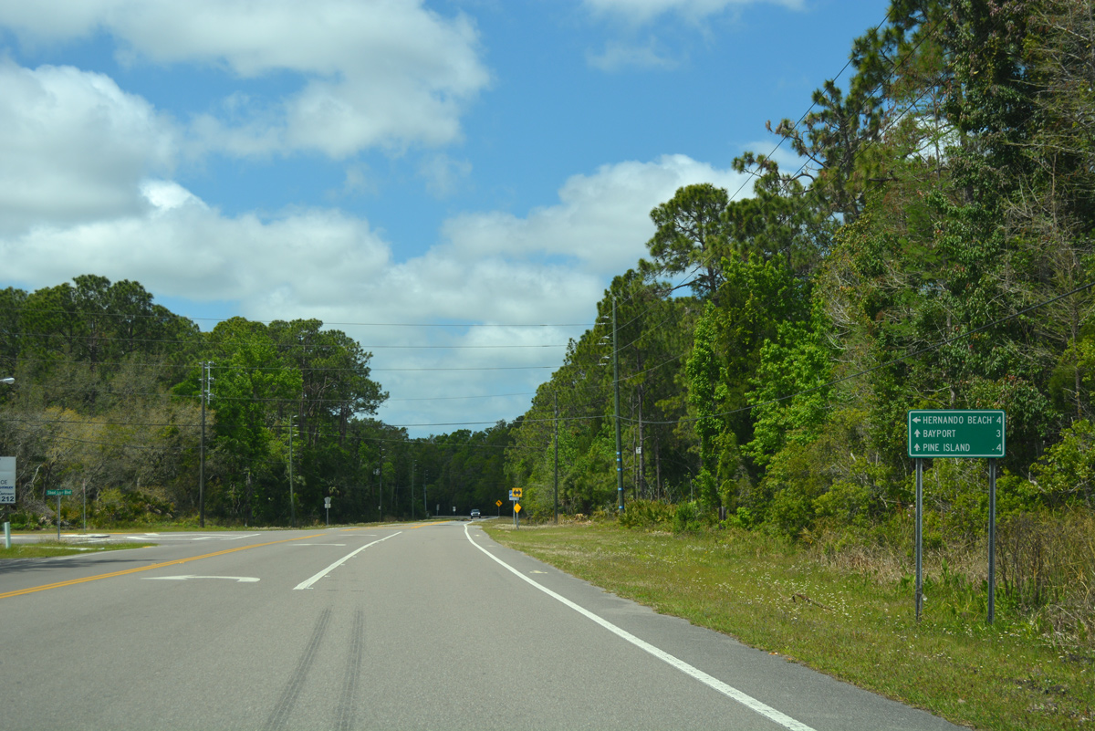
2.9 miles east from Bayport, Cortez Boulevard approaches the north end of County Road 597 (Shoal Line Boulevard).
02/15/14
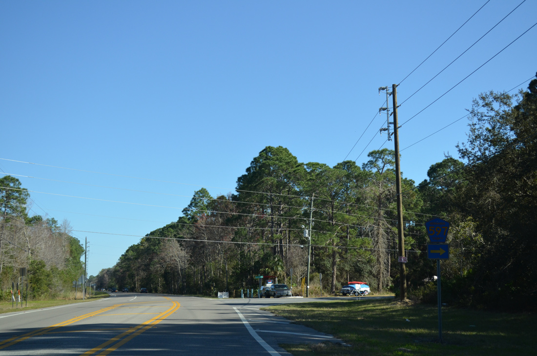
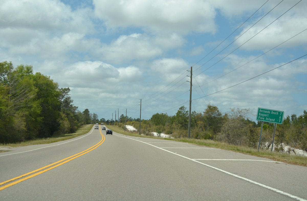
Shoal Line Boulevard ventures south 7.26 miles through the coastal communities of Weeki Wachee Gardens and Hernando Beach to end at County Road 595 north of Aripeka.
02/15/14
Like the westbound direction, eastbound motorists are not provided with a reassurance marker for CR 550 beyond CR 597.
02/15/14
Cortez Boulevard passes through Chassahowitzka Wildlife Management Area and the Weeki Wachee Hills community to enter the city of Weeki Wachee.
02/15/14
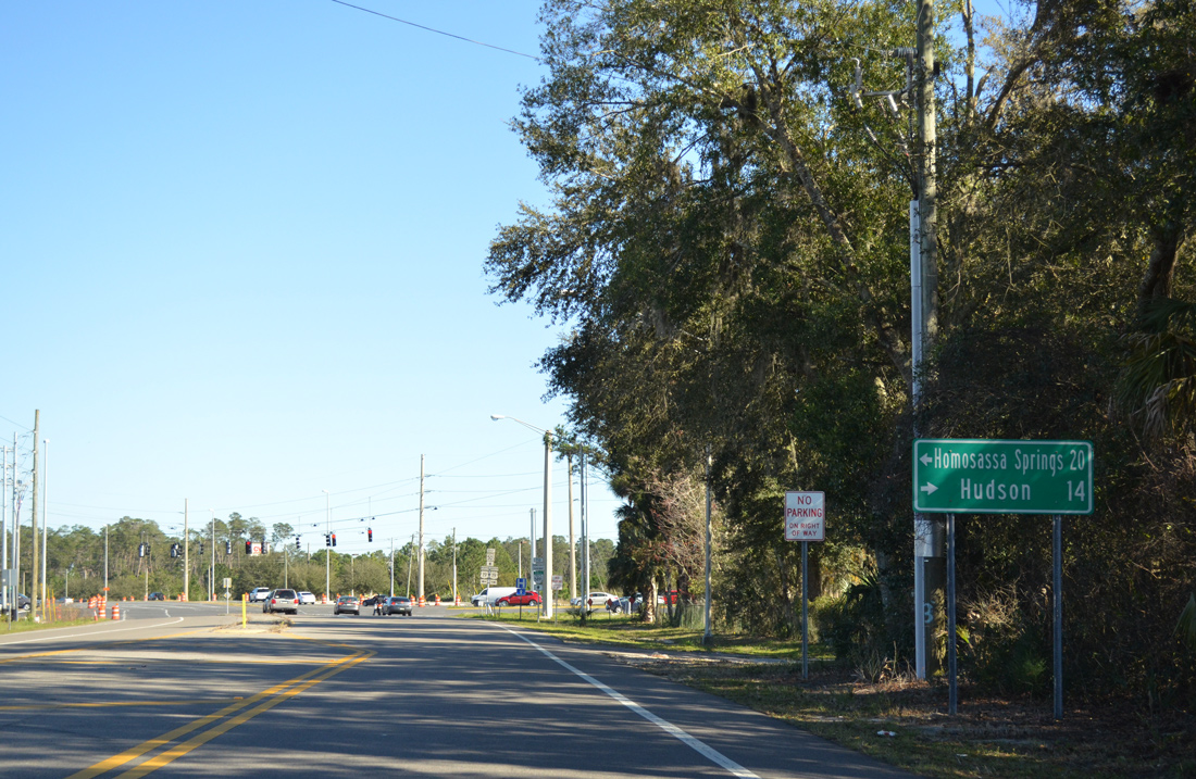
Hernando County Road 550 ends at the intersection with U.S. 19 (Commercial Way) north to Homosassa Springs and south to Hudson.
02/15/14
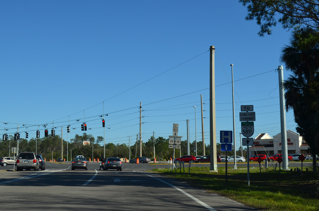
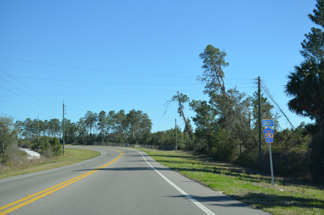
Cortez Boulevard continues east from U.S. 19 (Commercial Way) as SR 50 to the Suncoast Parkway (SR 589), Brooksville and Ridge Manor.
02/15/14
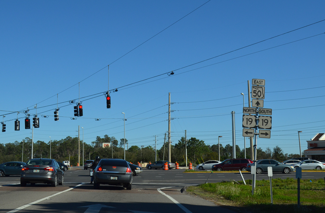
U.S. 19 angles southwest as a busy commercial arterial through Spring Hill. Northward the US highway becomes more rural leading to Citrus County and Crystal River. SR 50 commences a cross-peninsula route, ending on the Space Coast at Titusville.
02/15/14
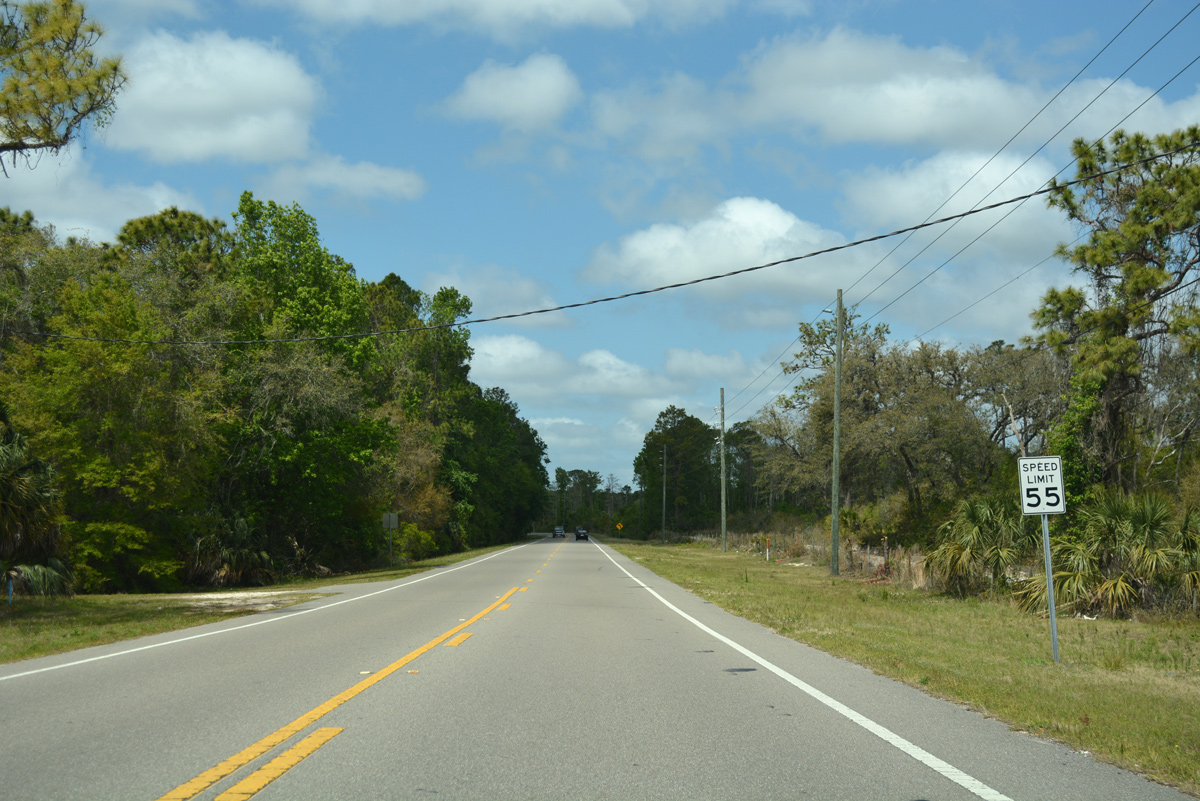
CR 550 (Cortez Boulevard) begins and travels west from the city of Weeki Wachee six miles to Bayport. Pine Island and Hernando Beach lie one mile further via CR 495 north and CR 597 south respectively.
03/26/18
Cortez Boulevard traverses areas of Chassahowitzka Wildlife Management Area northwest of Weeki Wachee.
03/26/18
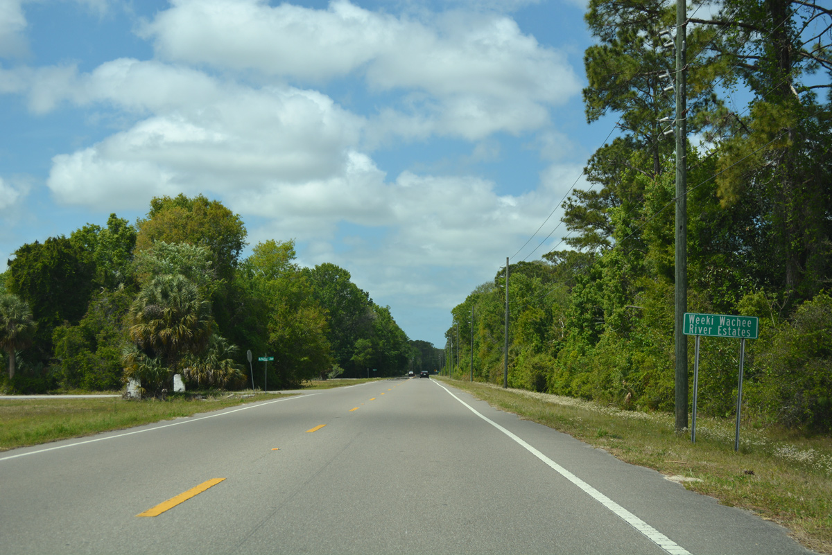
Motorists on CR 550 west next reach the small community of Weeki Wachee River Estates.
03/26/18
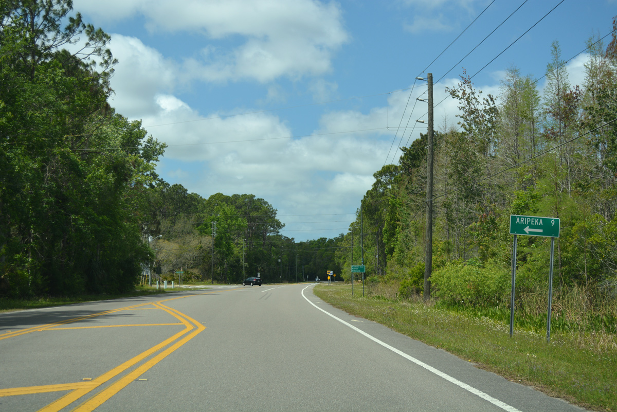
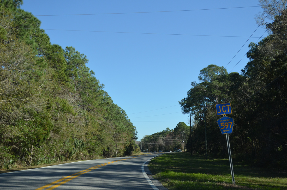
Approaching the north end of CR 597 (Shoal Line Road) on CR 550 (Cortez Boulevard) west. CR 597 connects with CR 595 (Osowaw Boulevard) south to the community of Aripeka off the Gulf of Mexico.
03/26/18
Shoal Line Roads (CR 597) straddles coastal areas south from Weeki Wachee Gardens nearby to Hernando Beach along a 7.3 mile long course.
03/26/18
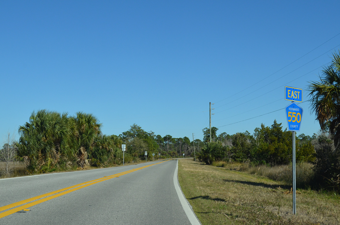
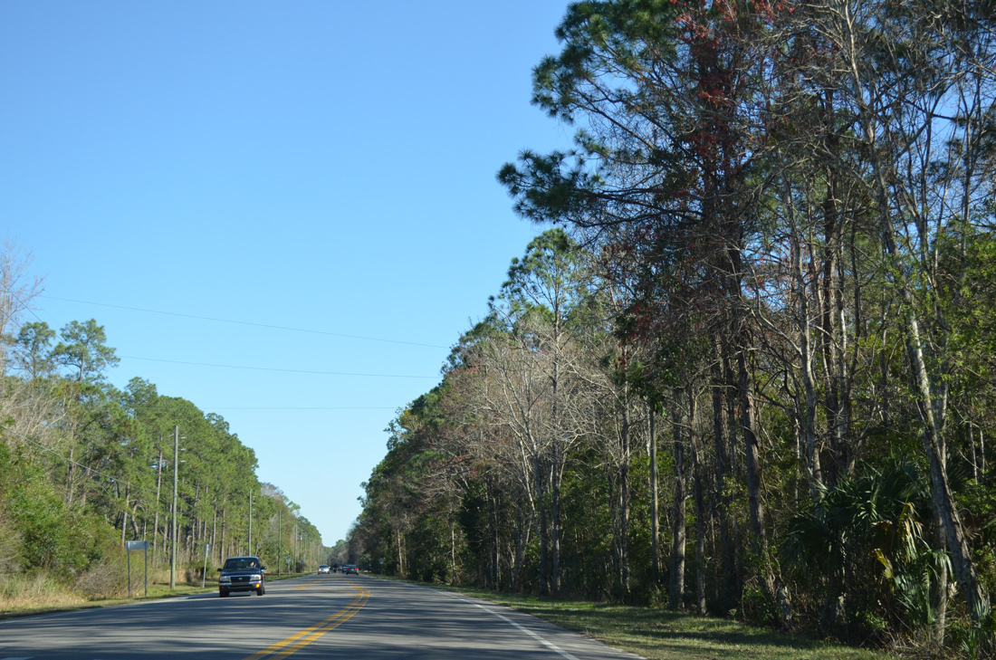
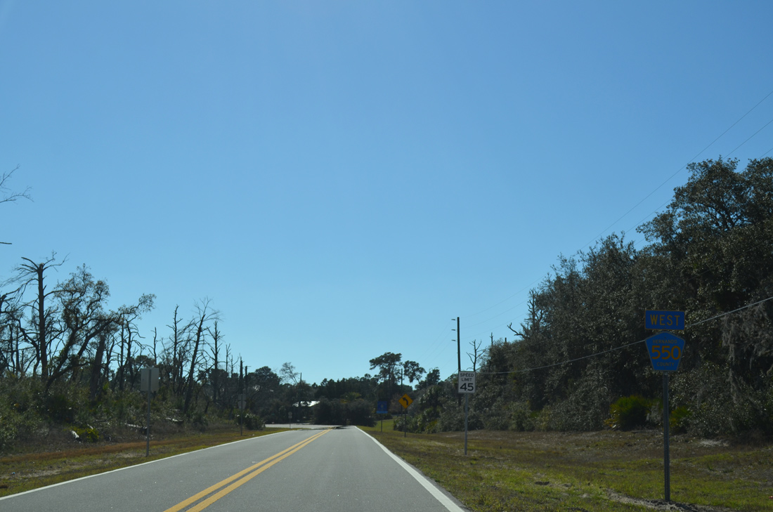
There is no reassurance marker posted as CR 550 continues west from Shoal Line Boulevard (CR 597) south to Palm Grove Colony.
02/15/14
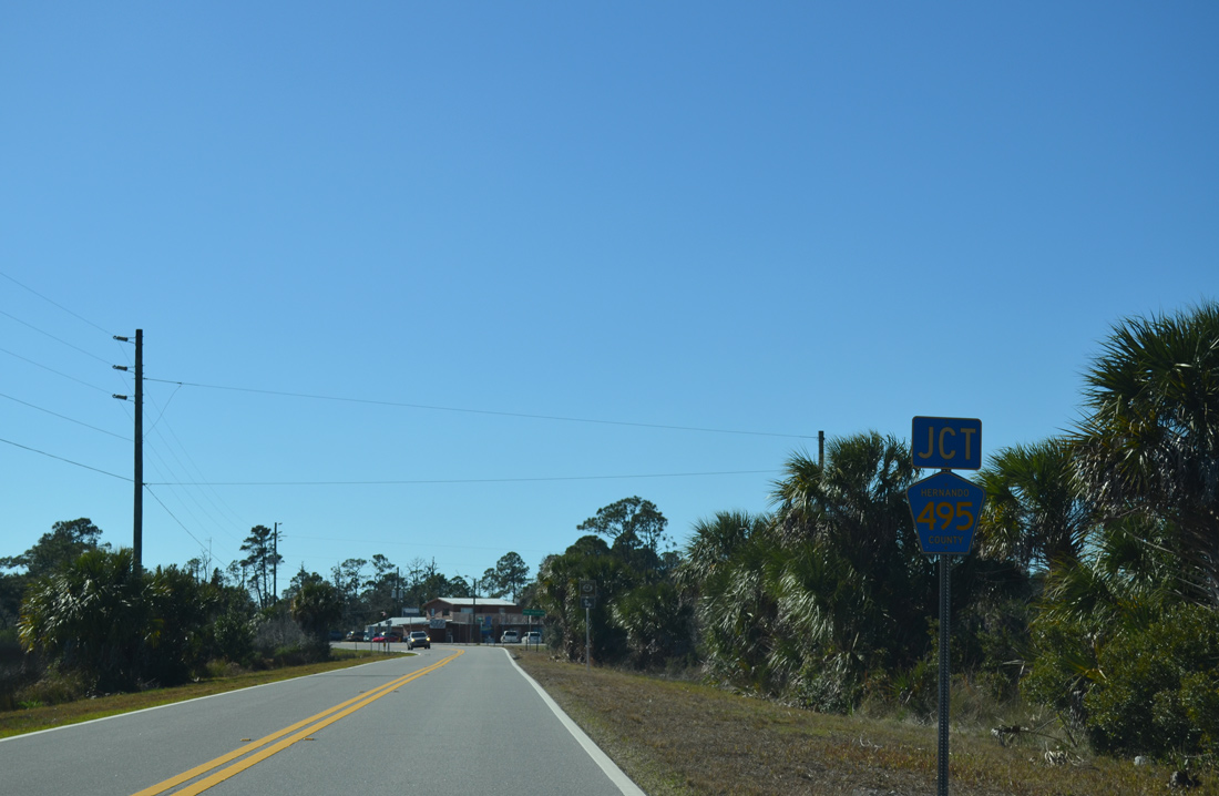
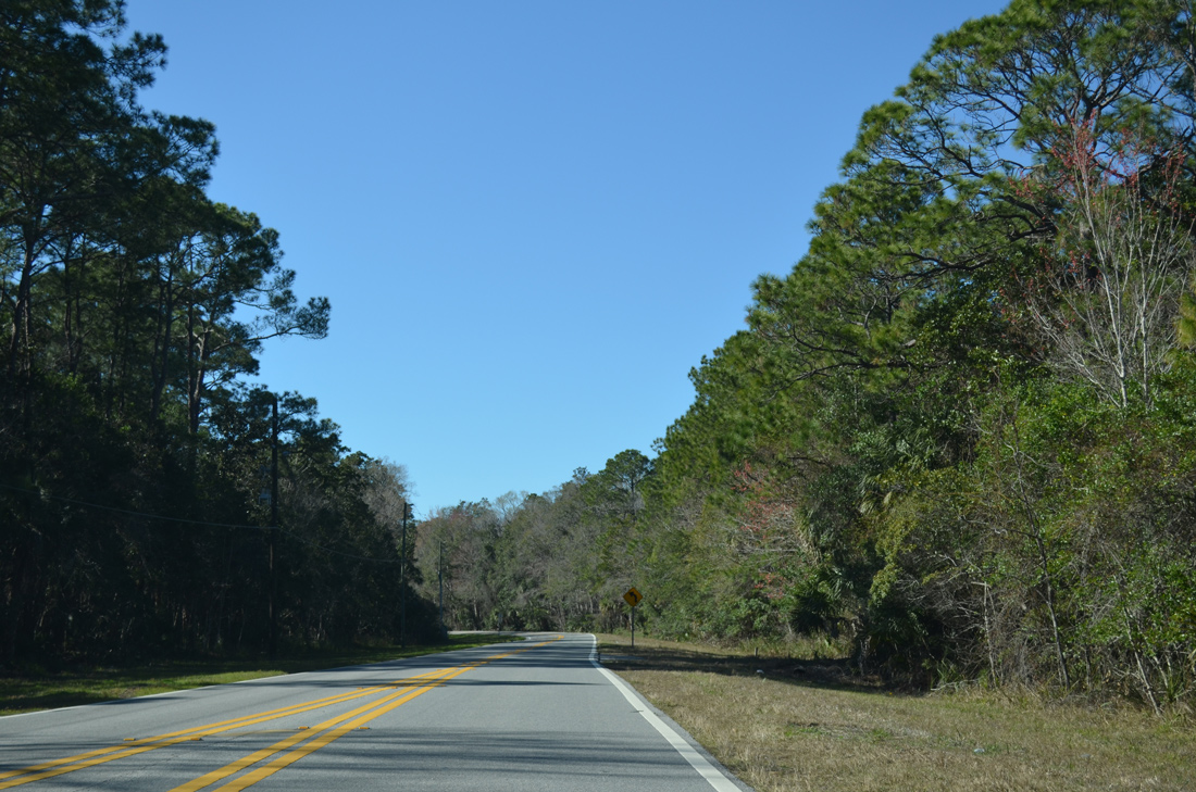
Cortez Boulevard reaches the marshes of Rock Island Bay and the south end of Hernando County Road 495 (Pine Island Drive).
02/15/14
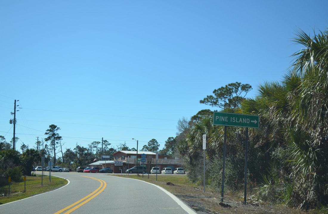
County Road 495 progresses north and then west 2.45 miles onto Pine Island, ending at Alfred A. McKethan / Pine Island Park.
02/15/14
Westbound travelers continue through the intersection with County Road 495 (Pine Island Drive) uninterrupted. CR 495 lines a causeway immediately to the north, with Bayou Drive tying in nearby ahead of the no outlet sign.
02/15/14
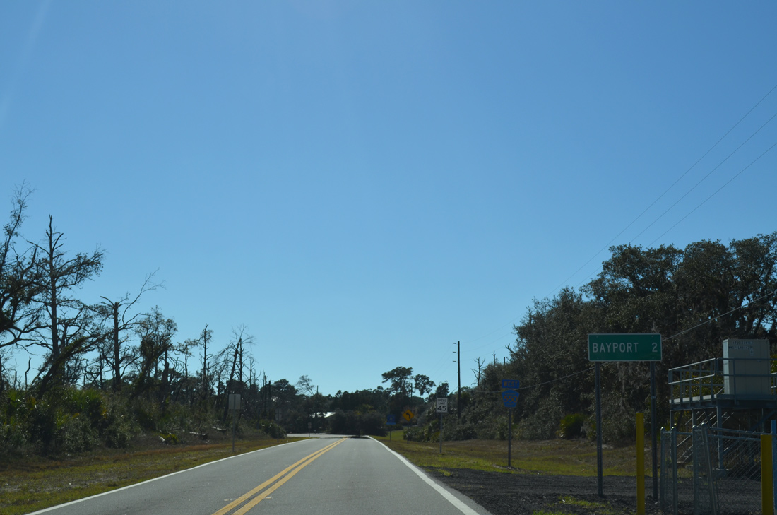
Only 1.6 miles of roadway remain, but this distance sign rounds up the distance to Bayport.
02/15/14
A County Road 550 westbound shield follows as Cortez Boulevard turns south by a small network of streets.
02/15/14
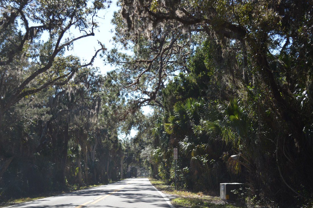
Cortez Boulevard narrows with dense vegetation through Bayport as County Road 550 approaches the entrance to Bayport Park.
02/15/14
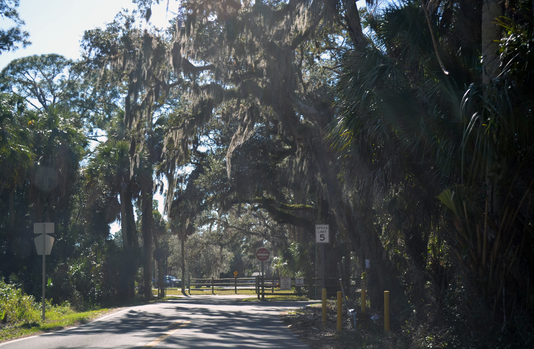
CR 550 ends as the entrance road to Bayport Park turns right. The park offers visitors boat ramps, picnic tables and a fishing pier.
02/15/14
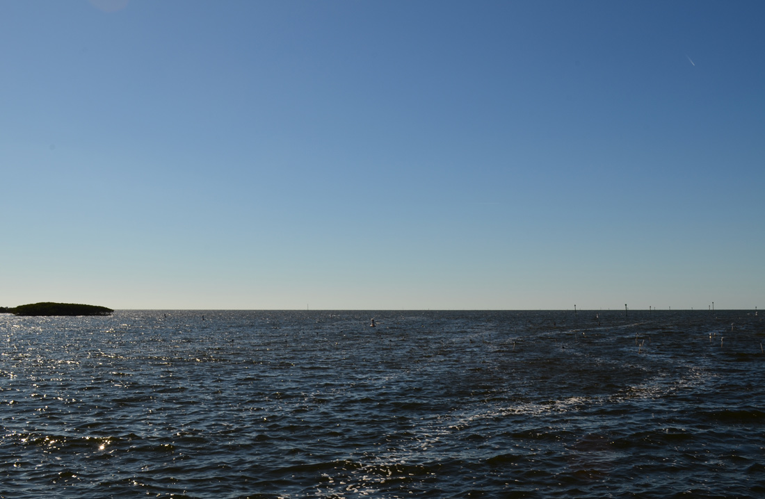
Looking at the open Gulf of Mexico waters from the mouth of the Weekiwachee River.
02/15/14
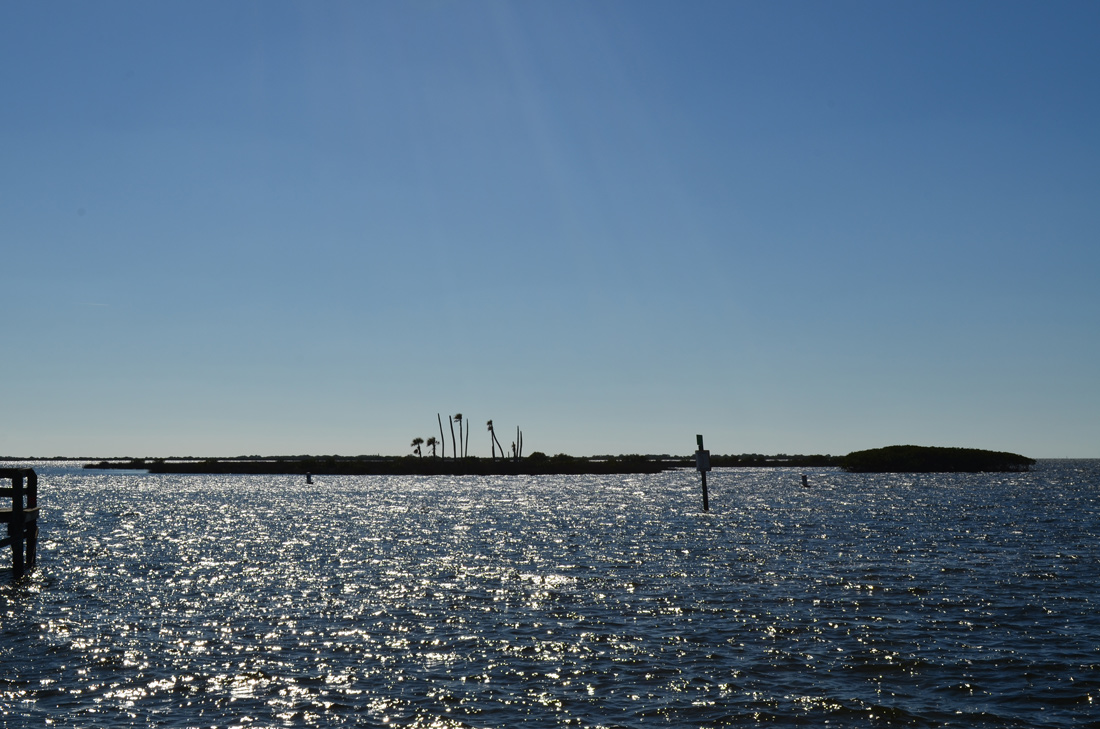
River Point juts out to the west between the Weekiwachee River and adjacent Jenkins Creek.
02/15/14
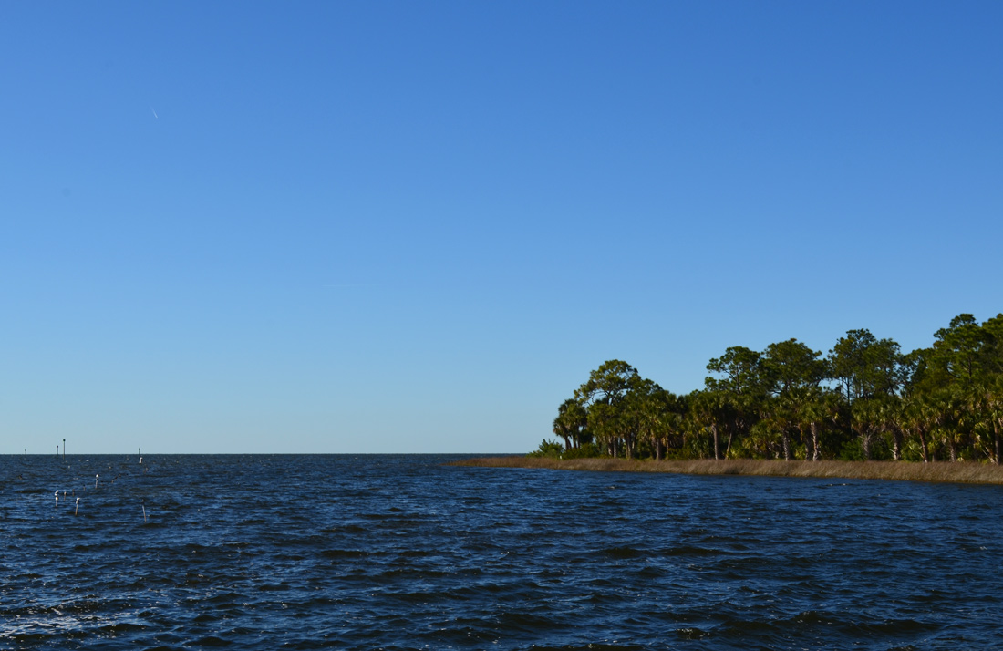
Waters from the Weekiwachee River flow around Bayport and into Bayport Channel to the northwest.
02/15/14
Photo Credits:
- ABRoads: 02/15/14
- Alex Nitzman: 03/26/18
Connect with:
Page Updated Tuesday April 10, 2018.