
County Road 557A
Polk County Road 557A links SR 559 at Polk City with CR 557 north of Lake Alfred. The 4.723 mile long rural highway crosses over Interstate 4 and then turns southeast between Lake Mattie Marsh and the Green Swamp. When they were Florida Secondary Roads, CR 557A and CR 557 were switched north of Gum Lake.
 East
East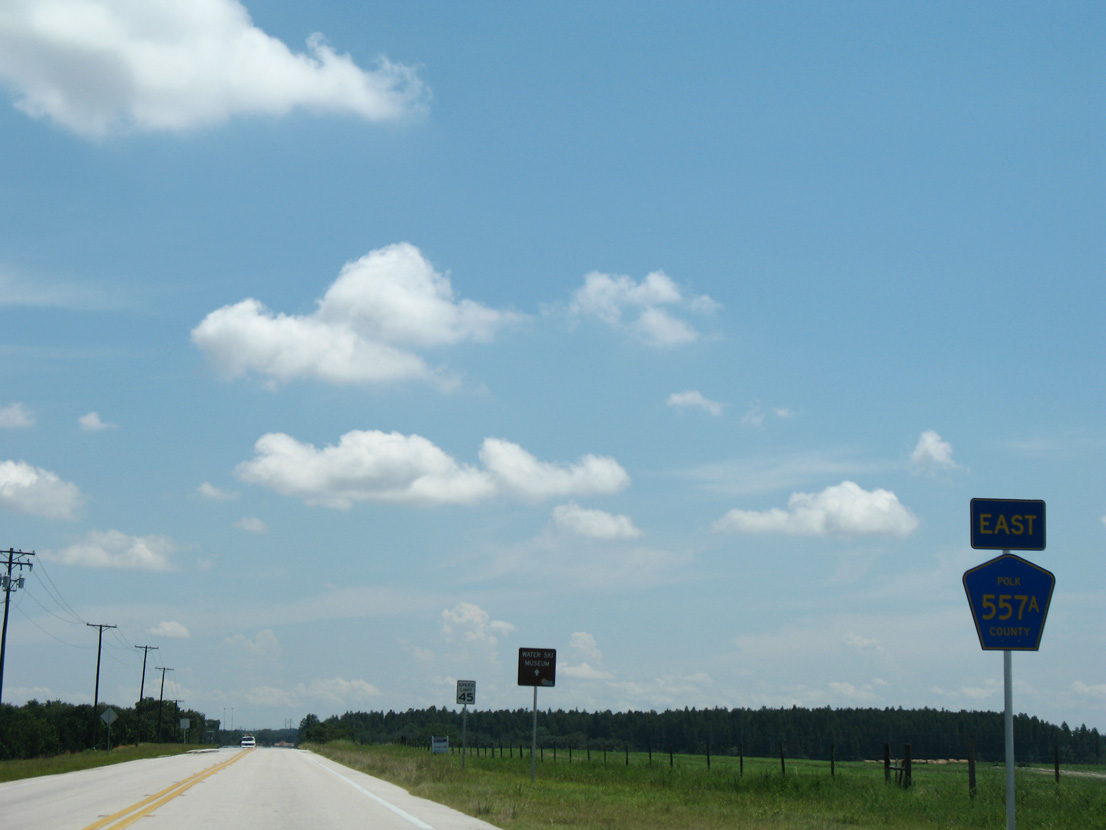
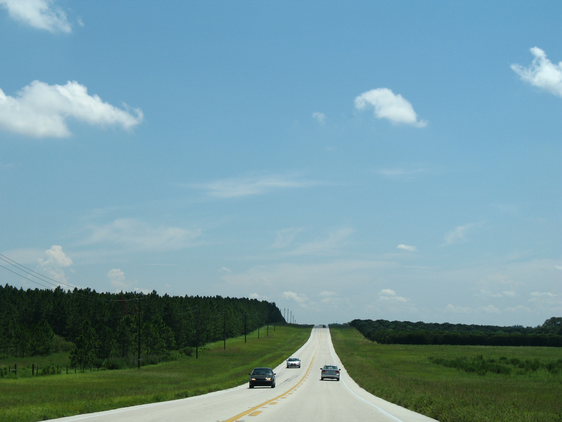
CR 557A stems east from the southward turn of SR 559 to Auburndale.
08/25/07
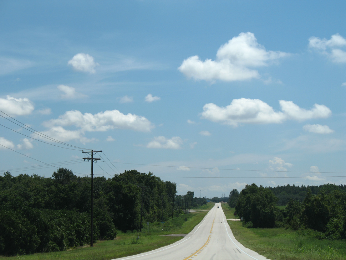
CR 557A curves southward across Interstate 4 beyond the forthcoming intersection with Evans Road north.
08/25/07

The span taking CR 557A across Interstate 4 was built in 2004 during six lane expansion of the freeway.
02/27/16
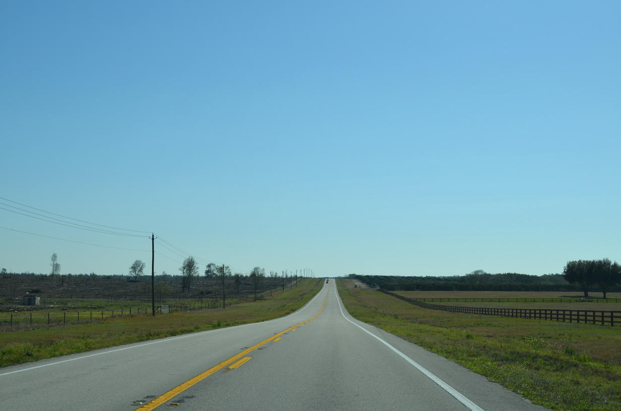
Continuing east from I-4, CR 557A passes across northern reaches of Lake Mattie Marsh.
02/27/16
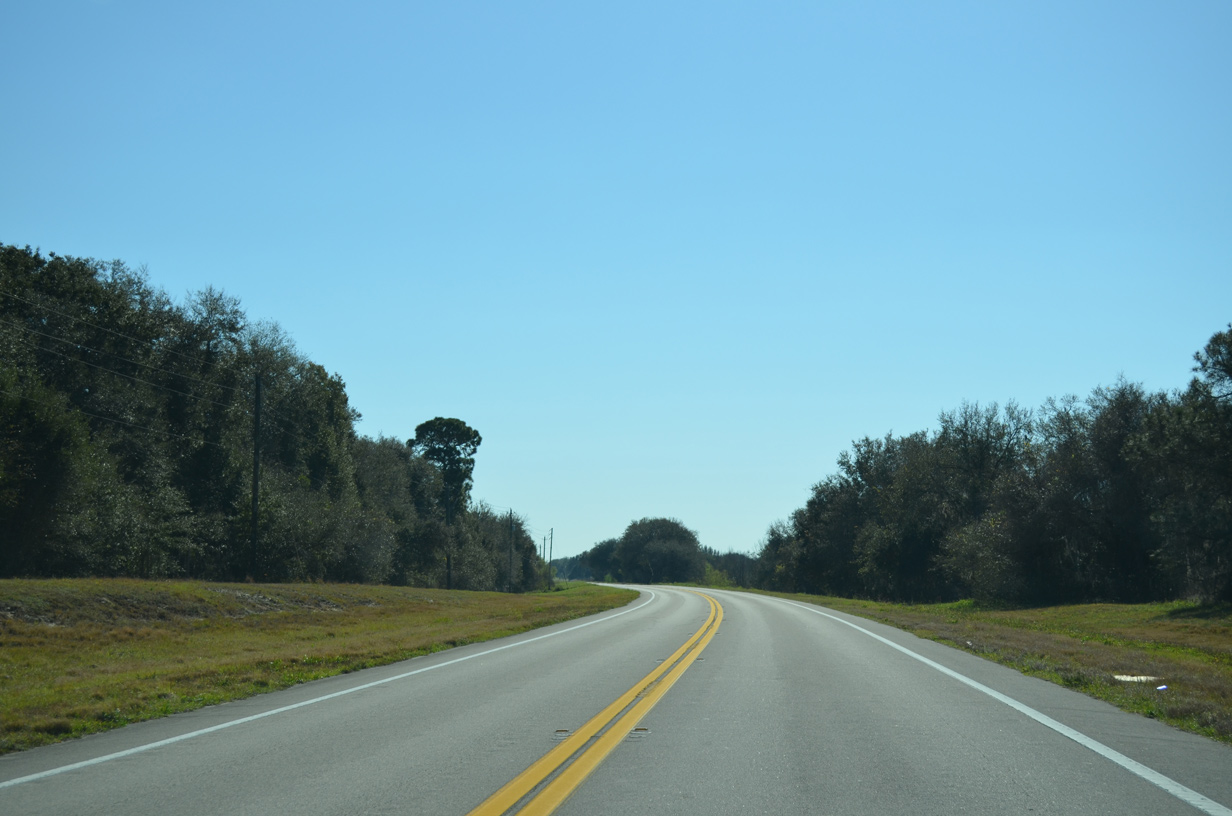
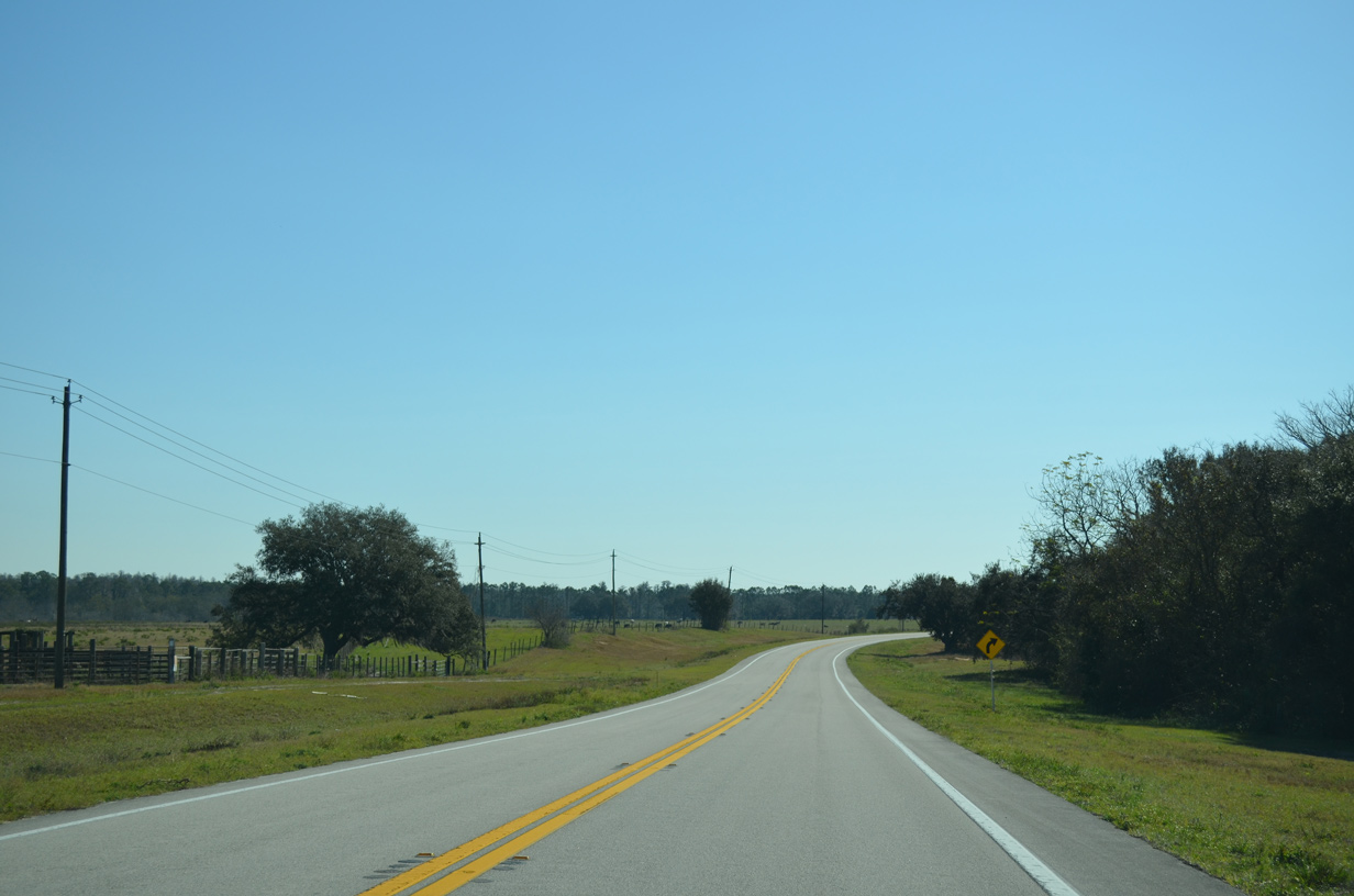
Old Lake Alfred Road branches south from CR 557A between Bay Lake and Tangerine Lake ahead of this scene.
08/25/07
02/27/16
CR 557A curves south to merge with CR 557 at a wye intersection.
02/27/16
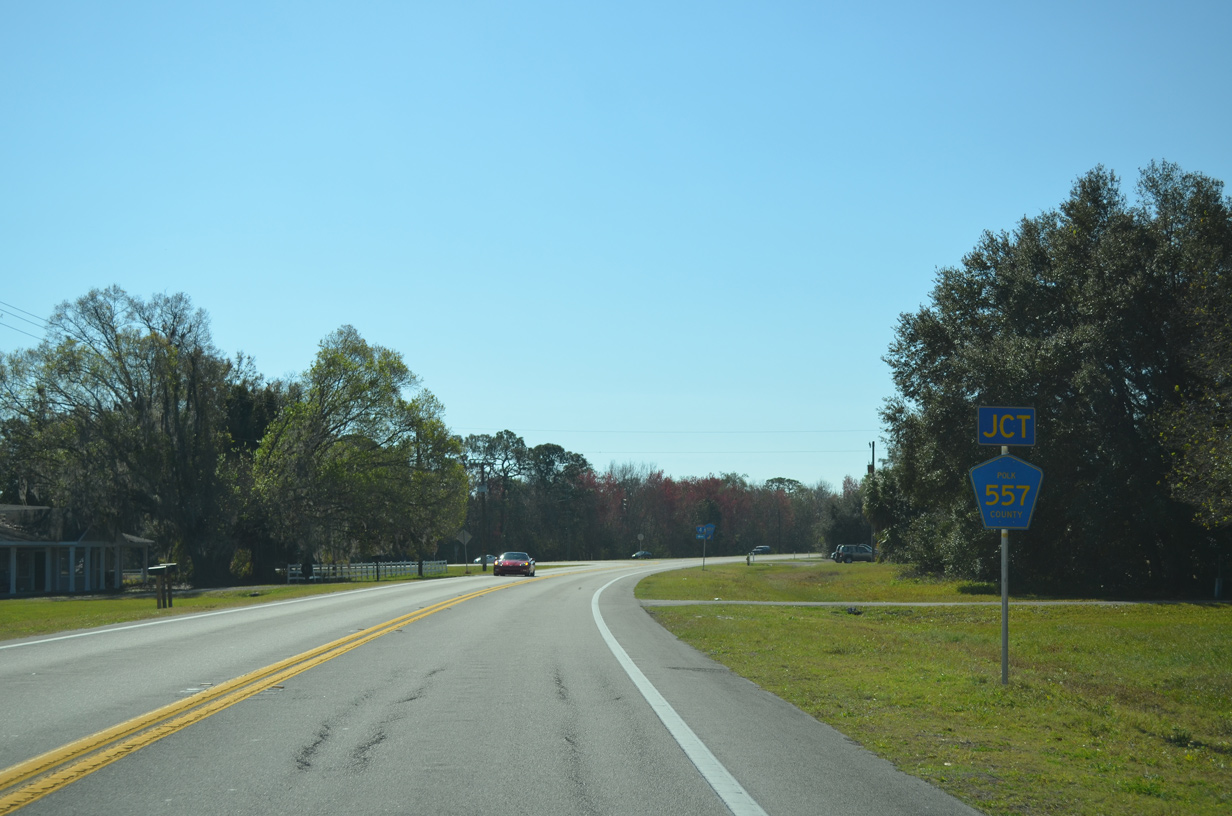
CR 557A merges directly onto CR 557 south, 3.4 miles ahead of U.S. 17/92 in Lake Alfred.
02/27/16
CR 557 originates 3.1 miles to the north, just beyond the exchange with Interstate 4.
02/27/16
West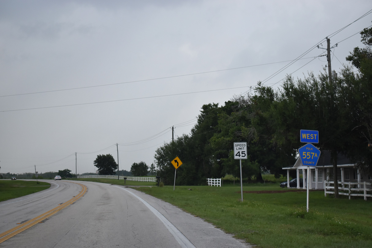
CR 557A branches northwest from CR 557.
05/27/20
Passing north of Bay Lake, CR 557A converges with Old Lake Alfred Road across agricultural land.
05/27/20
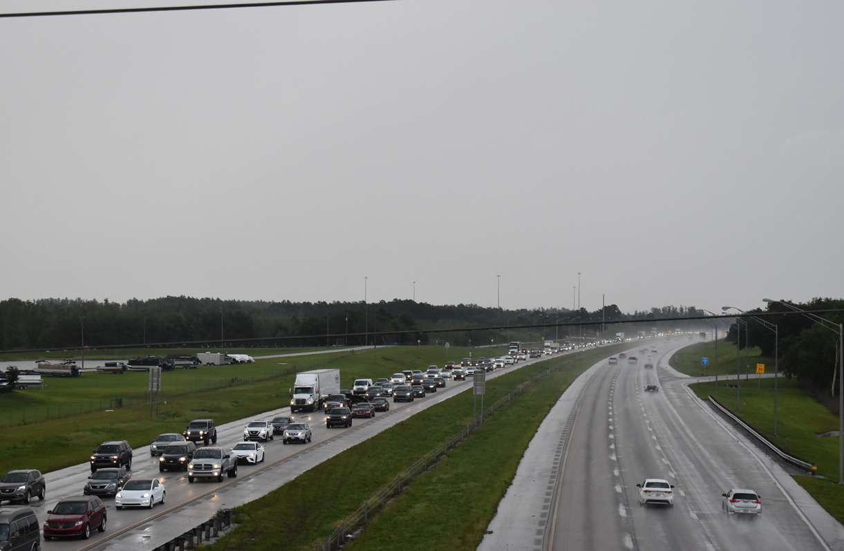
CR 557A spans Interstate 4 just west of the Polk County Rest Areas north of Lake Mattie.
05/27/20
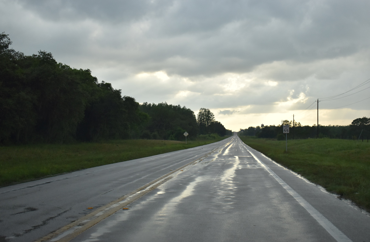
Leading west from Evans Road, CR 557A gains 30 feet in elevation to the intersection with SR 559.
05/27/20
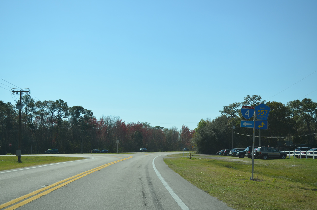
CR 559 meets the west end of CR 557A just north of Interstate 4.
05/27/20
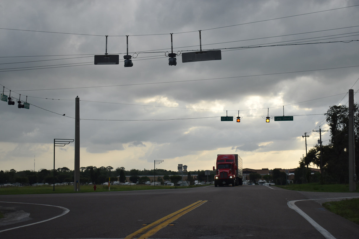
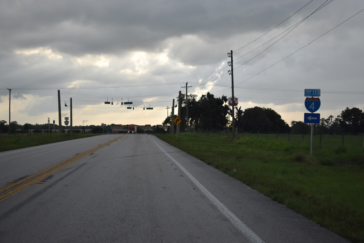
SR 559 is not acknowledged from CR 557A westbound at Camp Gilead Drive and Broadway Boulevard. SR 559 runs south into Auburndale and northwest to Downtown Polk City.
05/27/20
Photo Credits:
- Alex Nitzman: 08/25/07, 05/27/20
- ABRoads: 02/27/16
Connect with:
Page Updated Friday May 29, 2020.