
County Road 905 / 905A - Card Sound Road


Old Overseas Highway - Plantation Key
A short section of original Overseas Highway near the north end of Plantation Key remains signed as State Road C-905. Now a frontage road, the alignment travels alongside the northbound U.S. 1 roadway near the intersection with Bessie Road at north Islamorada.
Old Overseas Highway - Windley Key
Another short segment of the original Overseas Highway remains signed as "CR 905" on green signs at Windley Key. This section of old U.S. 1 parallels the northbound side of the Overseas Highway for 1.2 miles.
Card Sound Road
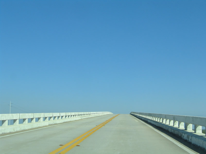
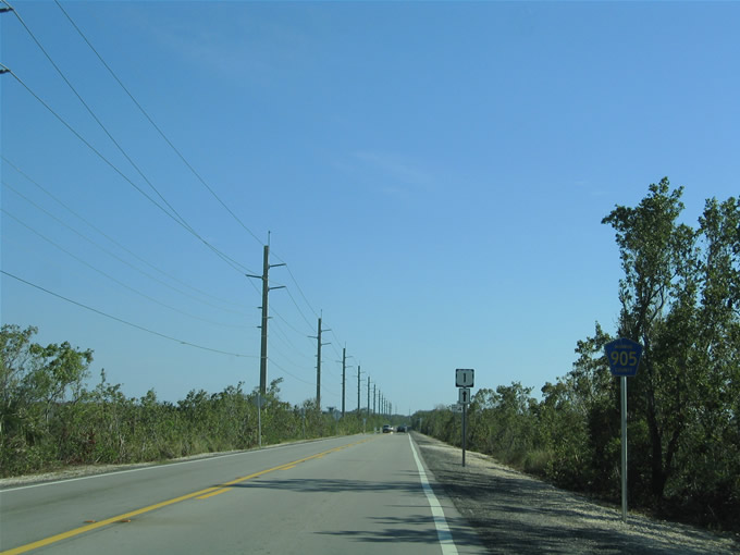
 Card Sound Road - North
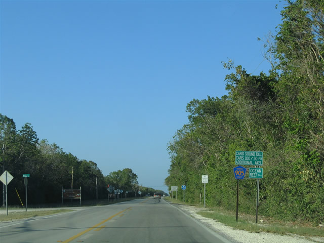
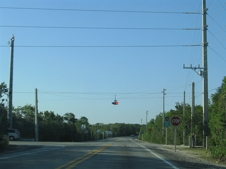
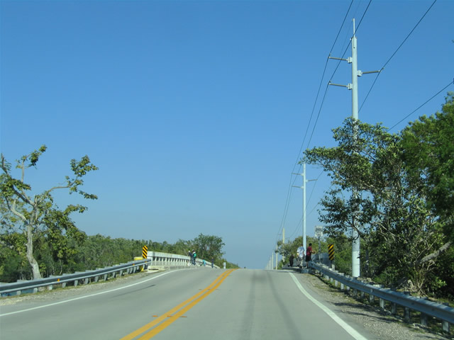
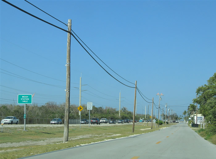
Leaving U.S. 1 and the built-up areas of Key Largo on Monroe County Road 905 north. A small sign assembly includes a reassurance marker, the distance to the Ocean Reef Club and the Card Sound Bridge toll schedule.
05/07/06
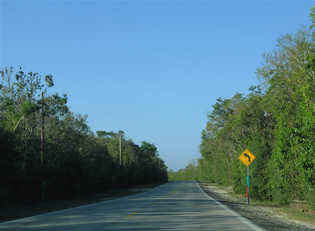
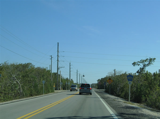
Card Sound Road features mileposts the same way that the Overseas Highway does. Mileposts feature the prefix of C for Card Sound Road. This scene looks at CR 905 northbound between U.S. 1 and CR 905A. Areas further north within Crocodile Lake National Wildlife Refuge were home to a former Nike missile site.
05/07/06
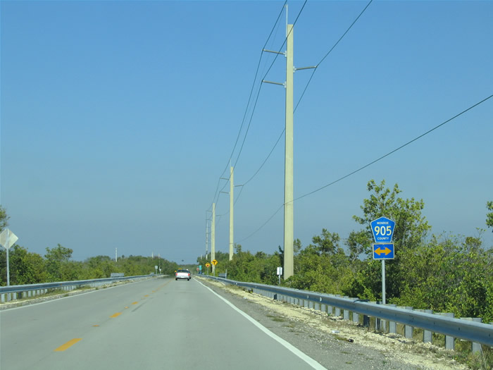
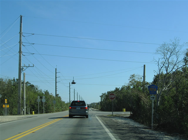
CR 905 north ahead of the turn for CR 905A on Card Sound Road. Card Sound Road angles northwest across the toll bridge to Florida City. CR 905 extends north to the Ocean Reef Club entrance.
05/07/06
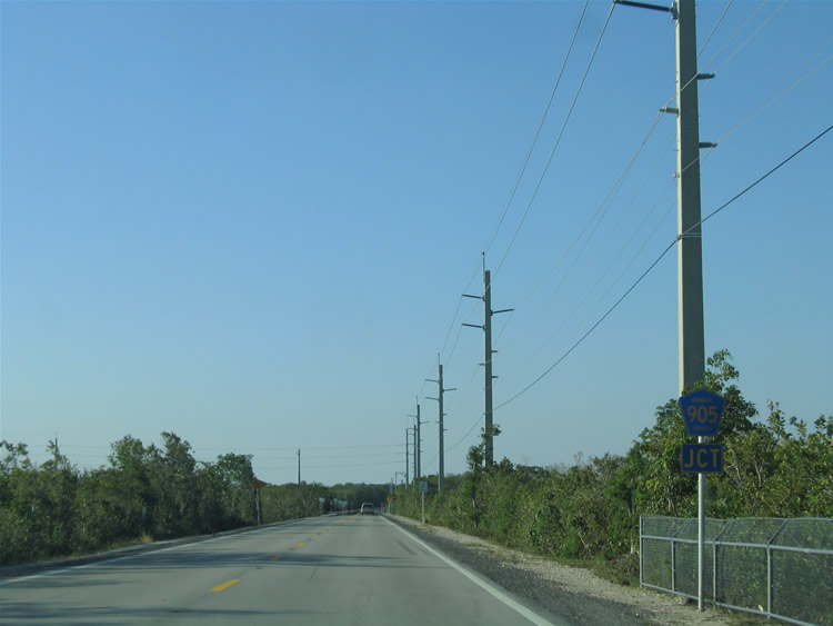
Junction Monroe County Road 905A shield assembly posted ahead of the Card Sound Road northwesterly turn alongside Dagny Johnson Key Largo Hammock Botanical State Park.
05/07/06
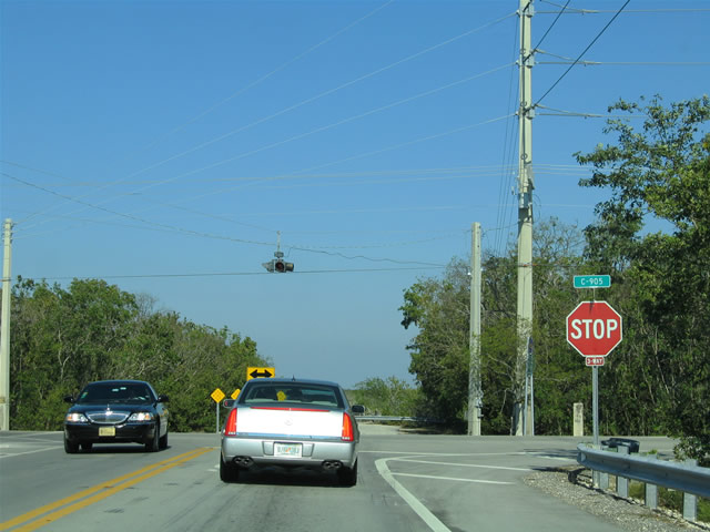
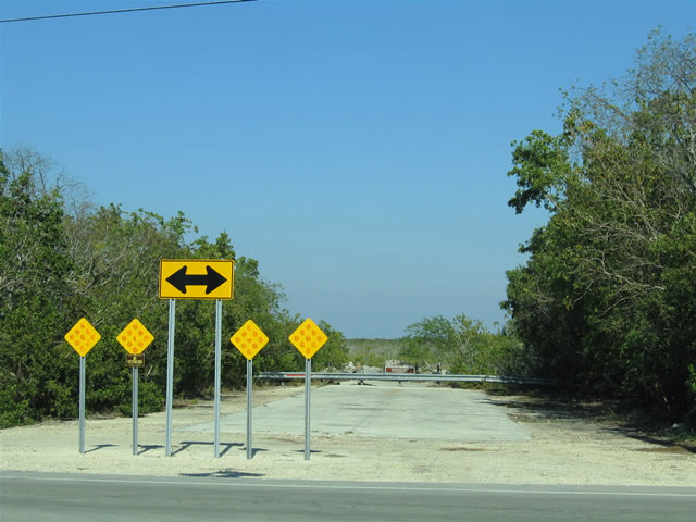
A flasher accompanies the three-way stop at the Monroe County Road 905 and 905A junction. To the east is an abandoned section of original Card Sound Road, a road that traveled a short distance to the original SR 905.
05/07/06
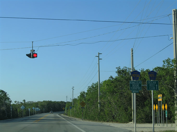
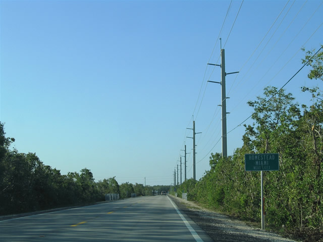
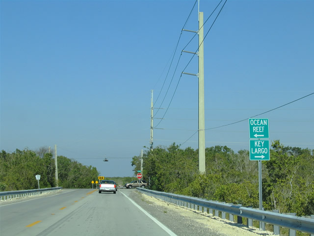
Small guide signs and county markers direct traffic to Ocean Reef Club along Monroe County Road 905 north and Homestead, Miami, and Florida's Turnpike along Monroe County Road 905A (Card Sound Road) north.
05/07/06
Monroe County Road 905A continues 1.7 miles north from Card Sound Road to the private Ocean Reef Club.
03/25/06
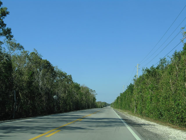
Like the majority of Card Sound Road, Monroe County Road 905 north of Monroe County Road 905A features mangrove stands and other trees through protected lands.
03/25/06
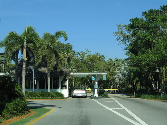
Monroe County Road 905 ends at the gate to the Ocean Reef Club. Residents continue further while a U-turn lane allows others to return southward toward Key Largo. A Monroe County Road 905 shield (not pictured) lies within the bushes just south of the gate for southbound.
03/25/06
The only Monroe County Road 905A shield posted along Card Sound Road lies at the northbound beginning of the road beyond its intersection with Monroe County Road 905. Card Sound Road travels through Crocodile Lake National Wildlife Refuge to Barnes Sound.
05/07/06
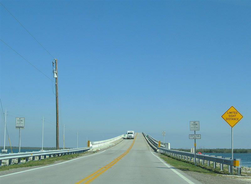
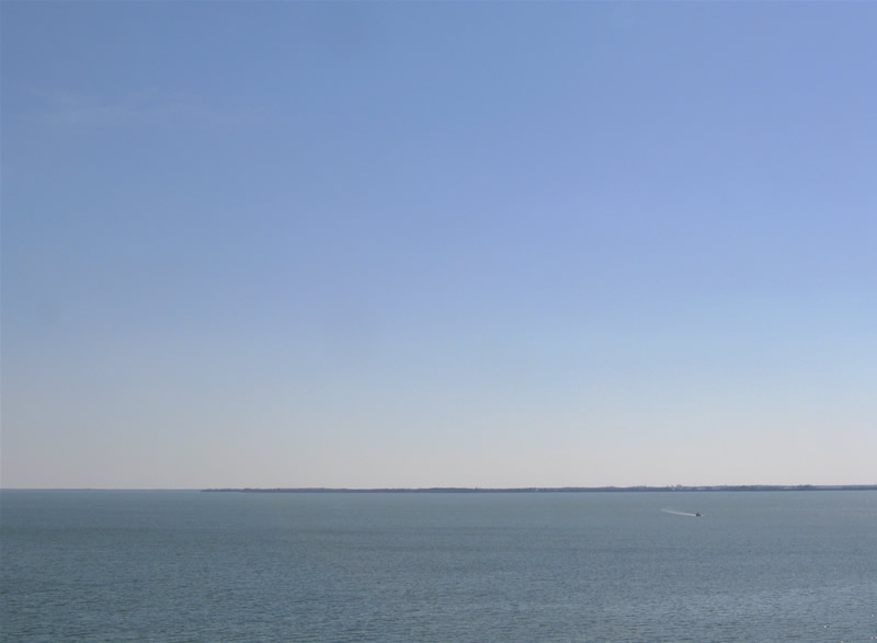
The fixed high-level Card Sound Bridge spans the waters between Barnes and Card Sounds on the drive toward Florida City and Homestead.
05/07/06
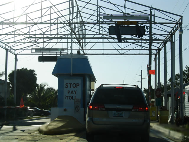
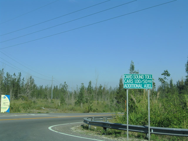
Northbound at the Card Sound Road toll plaza. Passenger vehicles are levied a $1.00 toll while each additional axle incurs 50 cents a piece. The toll bridge is not state-maintained.
05/07/06

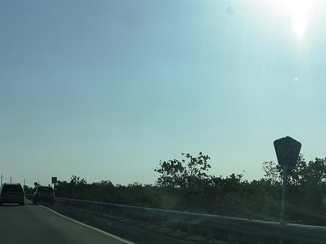
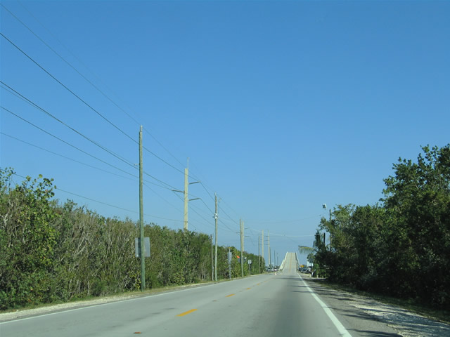
A straight shot carries Card Sound Road northward from the Miami-Dade County line to Florida City. Low lying mangrove swamps abut either side of the north-south highway.
05/07/06
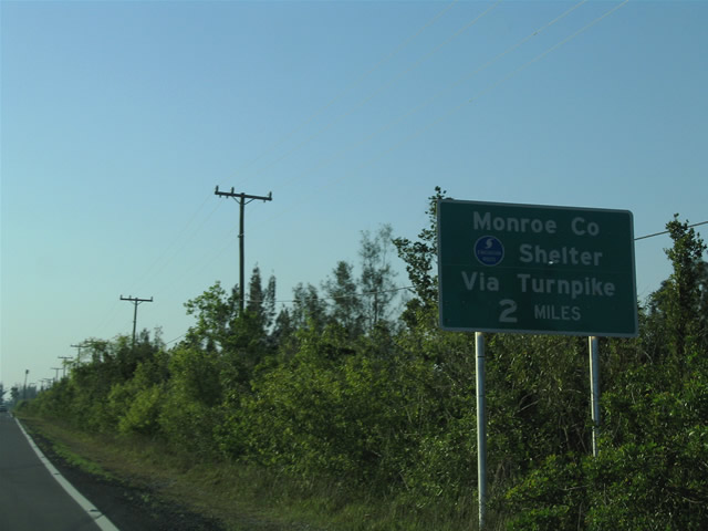
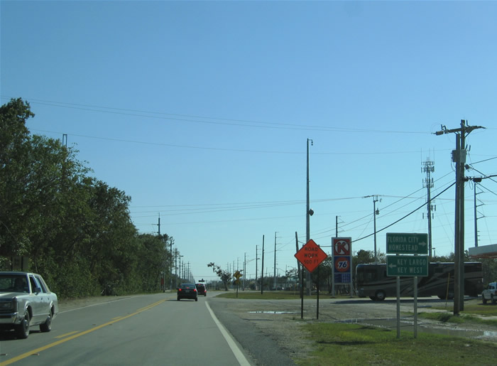
Approaching the north end of Card Sound Road, a hurricane evacuation sign directs motorists northward to the U.S. 1 interchange with Florida's Turnpike. Since most of Monroe County lies in a flood plain, hurricane evacuation shelters exist in southern Miami-Dade County to accommodate the evacuees.
05/07/06
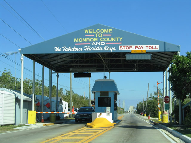
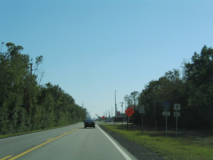
Card Sound Road leaves U.S. 1 at the south end of the Florida City commercial strip. The road provides an alternate route to Key Largo and the rest of the Keys in lieu of the U.S. 1 path across Jewfish Creek, Surprise Lake, and the rest of the wetlands to the west. The concession is that travelers using Card Sound Road must fork over $1.00 (per passenger vehicle) to cross the Card Sound Bridge.
03/25/06
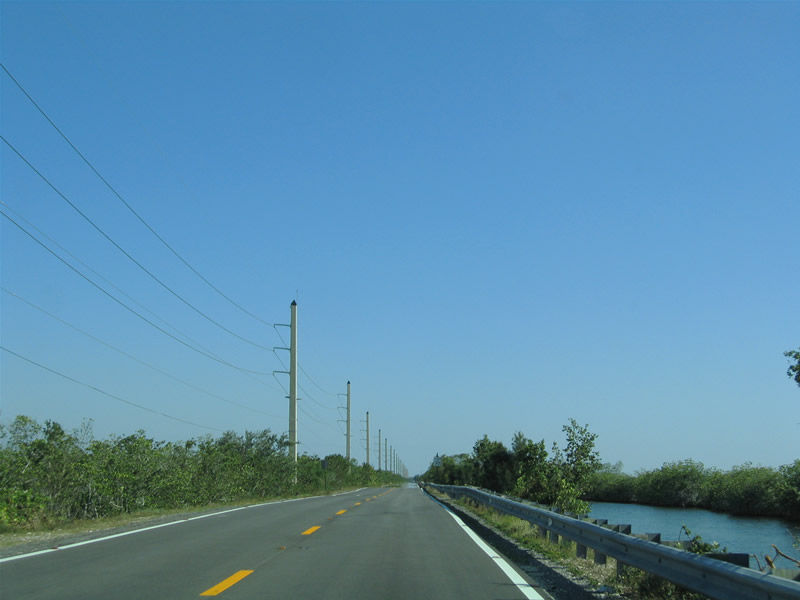
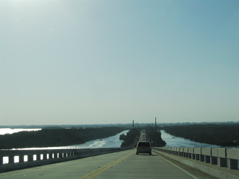
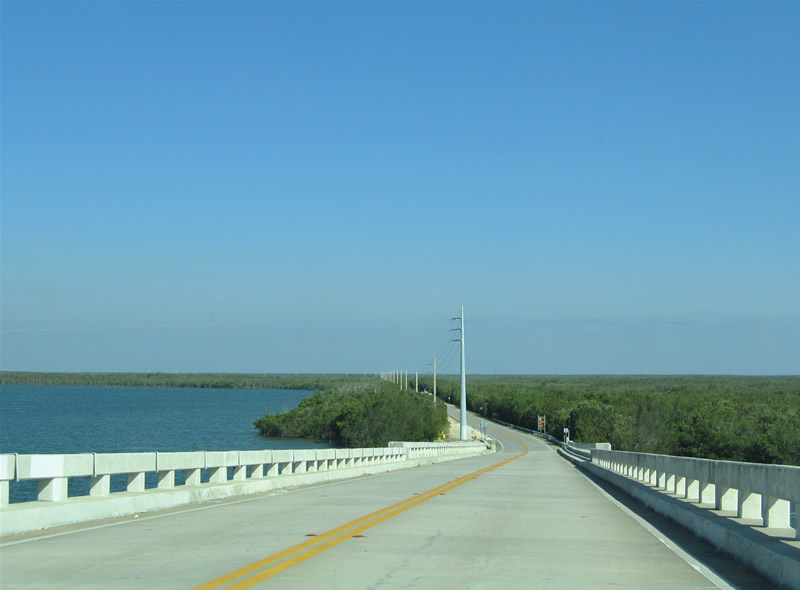
Wetlands and canals lie along the Card Sound Road path between Florida City and the Card Sound Bridge. The highway becomes Monroe County Road 905A upon crossing the Miami-Dade County line.
03/25/06
Approaching the Card Sound Bridge toll plaza and associated fish camps along Barnes and Card Sounds.
03/25/06
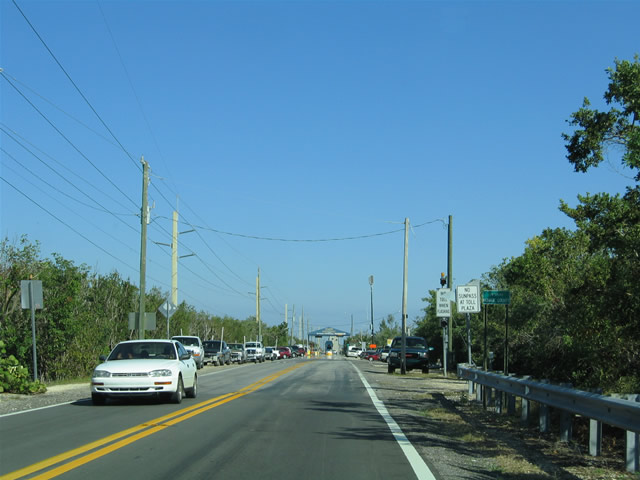
Entering the Card Sound Bridge toll plaza on U.S. 1 south.
03/25/06
Continuing along the causeway south of Little Card Point on CR 905A (Card Sound Road) south.
03/25/06
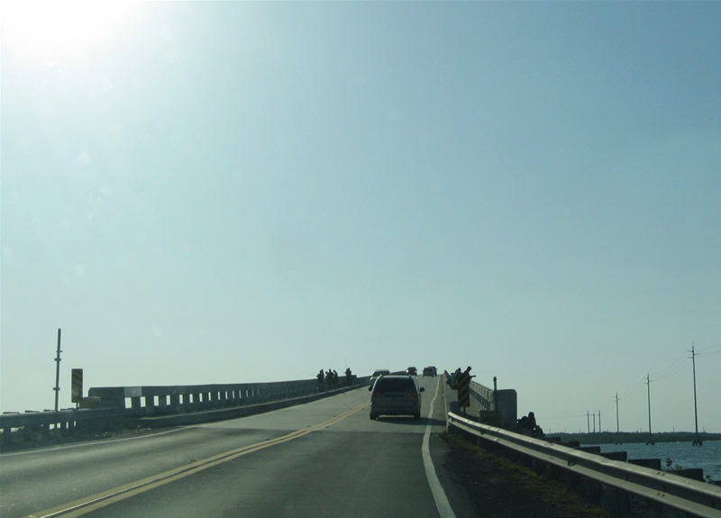
Spanning the Card Sound Bridge along Monroe County Road 905A southbound. Little Card and Card Sounds lie to the east; Barnes Sound resides to the west. The fixed high-level bridge opened in 1968 to replace the original 1930s-span.1
03/25/06
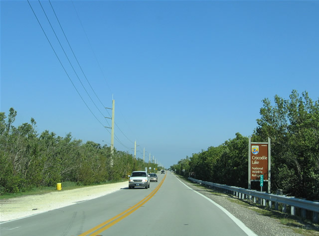
Monroe County Road 905A (Card Sound Road) enters Crocodile Lake National Wildlife Refuge on the approach to County Road 905. The refuge was established in 1980 as a 6,600 acre facility to protect the last stands of high tropical hardwood hammock, Key Largo woodrat and cotton mouse, and Schaus' swallowtail butterfly.
03/25/06
A short concrete bridge spans Steamboat Creek along Monroe County Road 905A south. Locals use the bridge to fish the waters below.
03/25/06
Approaching the Card Sound Road merge with Monroe County Road 905. While Monroe County Road 905A ends, Monroe County Road 905 travels in a northeast-southwest fashion between the private Ocean Reef Club and the built-up areas of Key Largo.
03/25/06
Two small guide signs confirm the control points mentioned above. Ocean Reef Club lies 1.7 miles to the north; U.S. 1 is a nine mile drive south.
03/25/06
A flasher joins the stop sign at the south end of Monroe County Road 905A. Card Sound Road follows Monroe County Road 905 south to U.S. 1, thus completing the alternate route to the Overseas Highway between Florida City and the Keys.
03/25/06
Old concrete remains in place east of the Card Sound Road turn onto Monroe County Road 905 south. The original Card Sound Road continued east less than a mile to the original State Road 905. Both roads east of the present intersection are abandoned and lie within the Dagny Johnson Key Largo Hammock Botanical State Park now.
03/25/06
Card Sound Road - South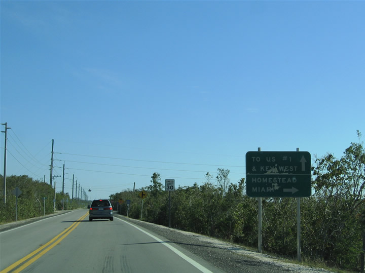
An older style guide sign, replaced by 2008, posted along CR 905 southbound for Card Sound Road. Monroe County Road 905 travels 1.7 miles south from the Ocean Reef Club gate to Card Sound Road.
03/25/06
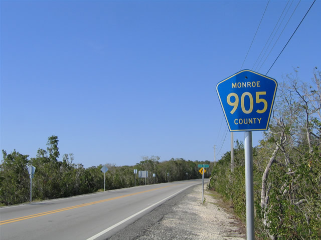
A lone Monroe County Road 905 marker directs motorists south through the intersection with Card Sound Road. Monroe County Road 905 ends at U.S. 1 in north Key Largo. Other former segments of Monroe County Road 905 exist further south in the Keys.
03/25/06
Monroe County Road 905A travels Card Sound Road north to the Card Sound Road toll bridge and the Miami-Dade County line.
03/25/06
Monroe County Road 905 and U.S. 1 shields posted after the merge with Card Sound Road southbound. U.S. 1 lies nine miles ahead.
03/25/06
End Monroe County Road 905 shield assembly posted ahead of the Card Sound Road intersection with U.S. 1 (Overseas Highway). U.S. 1 heads south into the business district of Key Largo on the 100 mile drive to Key West.
03/25/06
A stop sign lies at the end of Card Sound Road in lieu of a traffic light with U.S. 1. U.S. 1 north leaves Key Largo for the Surprise Lake causeway along "The Stretch", the 18 mile drive between Key Largo and Florida City/Homestead.
03/25/06
Old SR 4 / former County Road 905, parallels U.S. 1 closely along the northbound side.
05/07/06
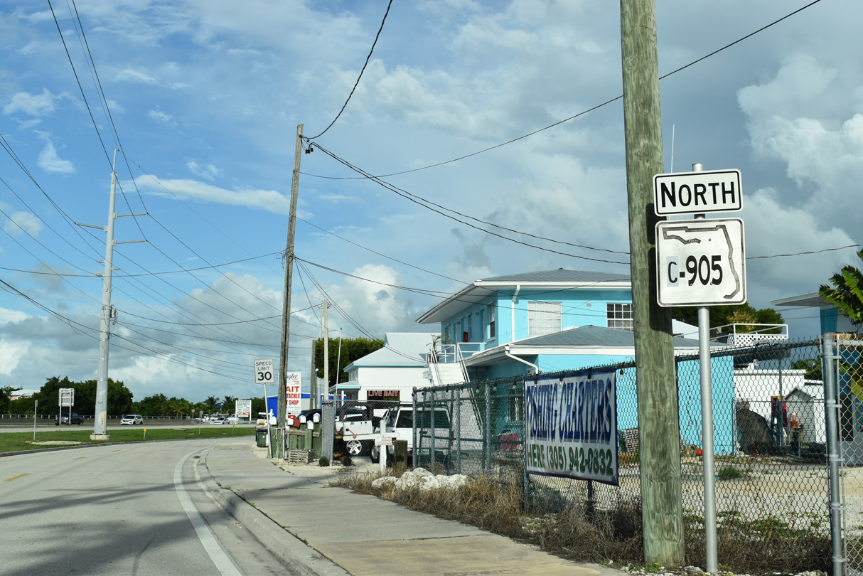
A remaining SR C-905 shield stands along northbound beyond Bessie Road at the north end of Plantation Key.
10/17/20
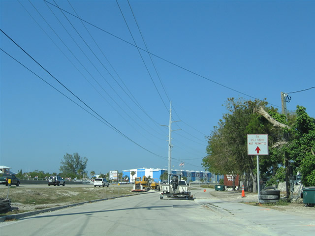
Old CR 905 concludes at a dead end adjust to the Tavernier Creek Bridge along adjacent U.S. 1 (Overseas Highway). Turns at the last crossover were formerly restricted to northbound U.S. 1.
05/07/06
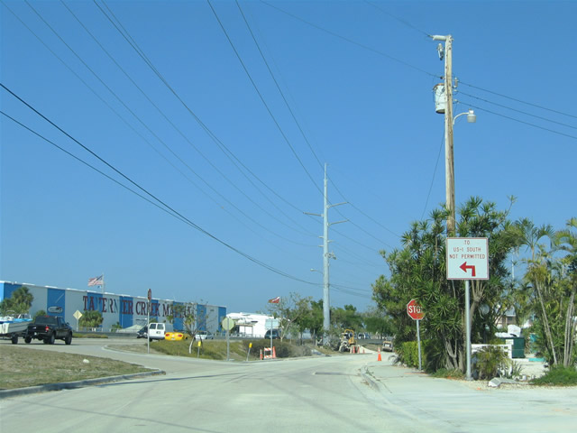
Old CR 905 connects with U.S. 1 just west of the Tavernier Creek Bridge joining Islamorada and Tavernier on Key Largo.
05/07/06
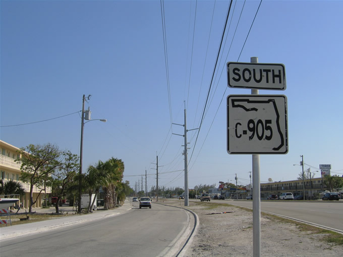
One southbound Florida C905 shield appeared along the old Overseas Highway between Bessie Road and Fontaine Drive.
05/07/06
There is not much to the CR 905 segment of original Overseas Highway on Windley Key. The two lane roadway acts as a frontage road for U.S. 1, then loops east of the Theater of the Sea, before returning to U.S. 1 near the Snake Creek Bascule Bridge.
05/07/06
References:
- MONROE COUNTY CARD SOUND BRIDGE,
http://www.myflorida.com/monroe/pages/pwd/csb.htmMyFlorida.com.
Photo Credits:
- Alex Nitzman, Justin Cozart: 03/25/06, 05/07/06
- Alex Nitzman: 10/17/20
Connect with:
Page Updated Tuesday August 13, 2024.