
Dauphin Street - Mobile
Dauphin Street originally ran just between Midtown and Downtown in Mobile. During the 1960s and 1970s, Dauphin Street was extended west as a four lane divided parkway to a new interchange with Interstate 65 and McGregor Road.
Dauphin Street forms a one way couplet with St. Francis Street westbound from Broad Street east into Downtown Mobile. The final blocks of Dauphin Street are known as the LoDa (Lower Dauphin Street Entertainment District). In addition to a number of bars and restaurants, attractions at LoDa include the nearby Saenger Theatre (home to the Mobile Symphony) and Bienville Square.
The final blocks of Dauphin Street and St. Francis Streets, along with Royal Street altogether, were converted to two way streets to improve accessibility for RSA Tower and the adjacent Battle House Hotel. The new traffic pattern was announced in 2003.
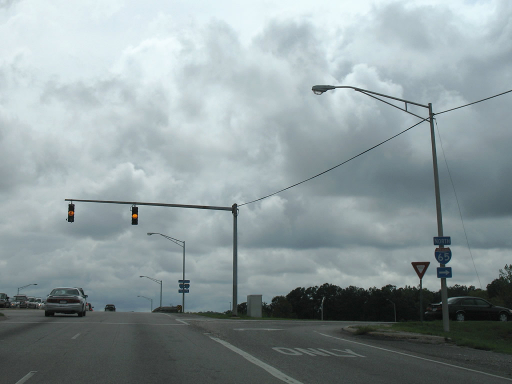
Dauphin Street east at the North Beltline Highway. Beltline Highway is the formal name for the I-65 frontage road system.
10/31/03
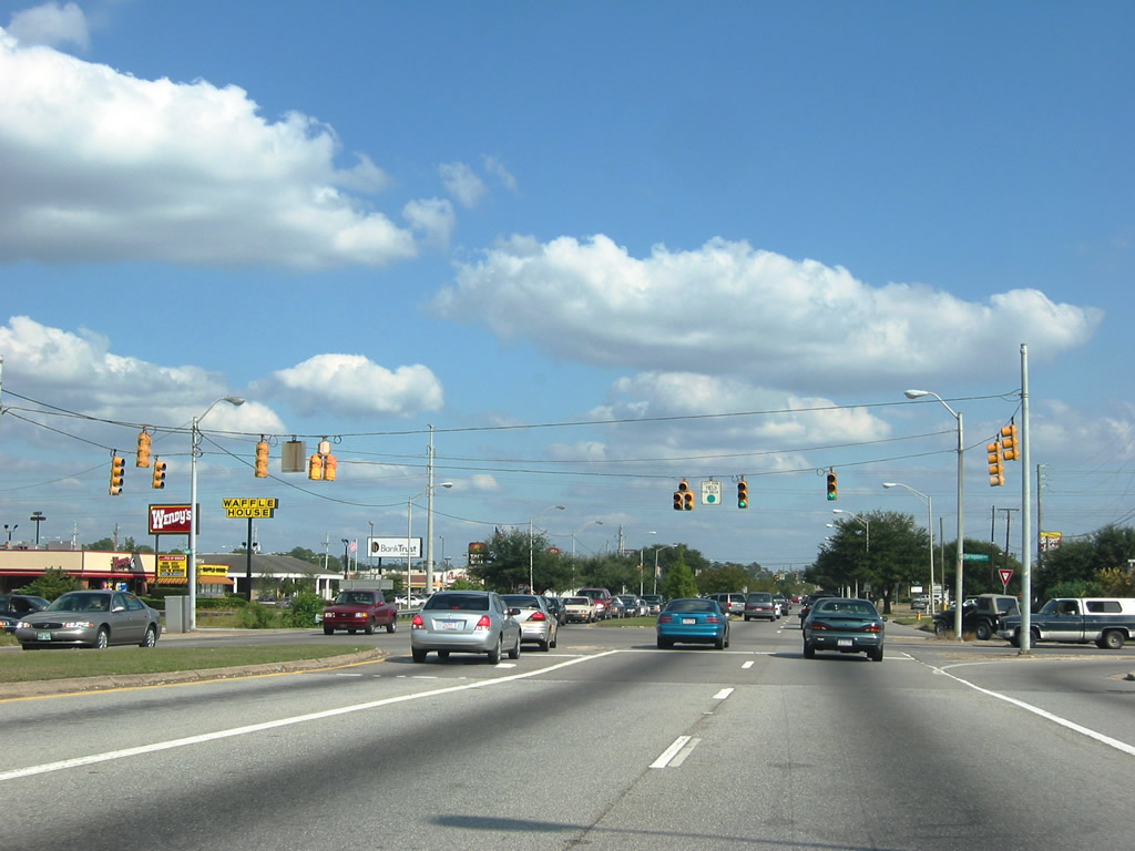
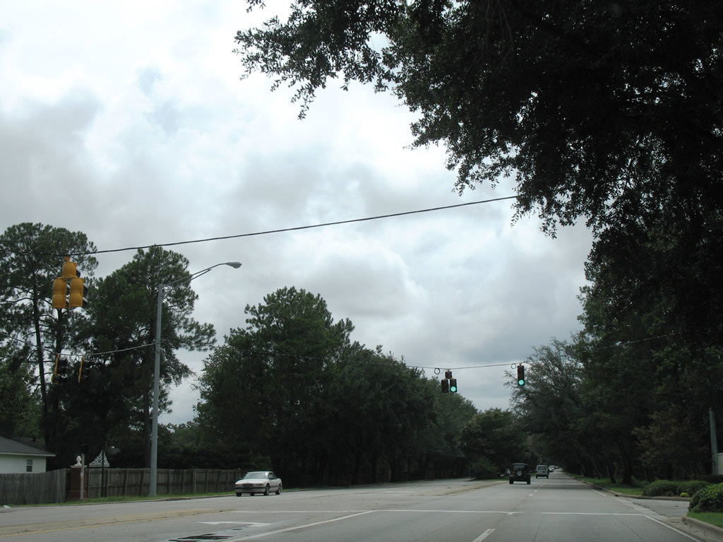
Dauphin Street intersects Northgate Drive along a commercialized stretch east of I-65. A tree lined median separates traffic along Dauphin Street between McGregor Avenue and Sage Avenue.
10/31/03
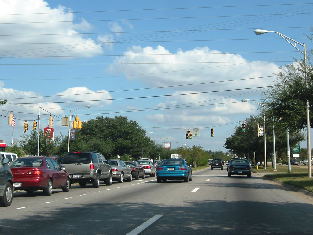
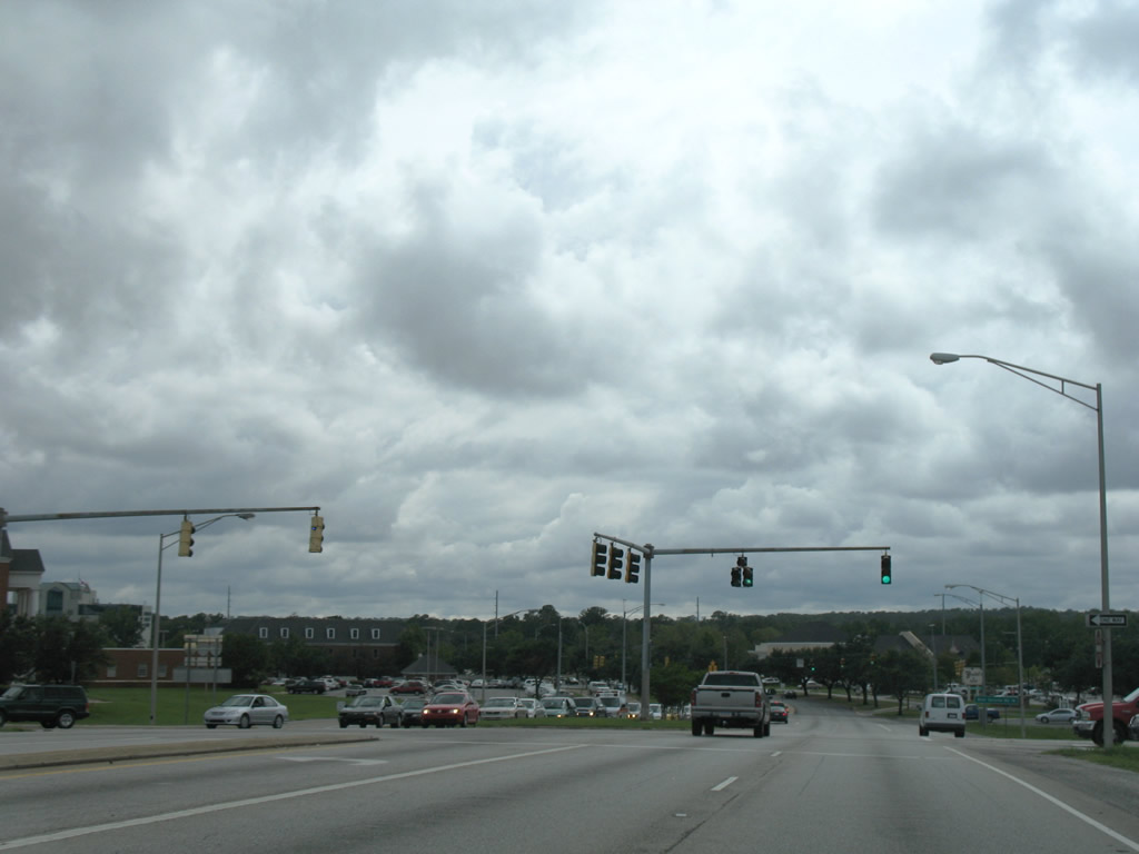
Busy with commuter and local traffic throughout the day, Dauphin Street east intersects Midtown Park East.
10/31/03
Sage Avenue is a secondary arterial serving Midtown Mobile. The roadway travels north from Cottage Hill Road, passing by Shoppes at Bel Air (formerly Bel Air Mall) at Airport Boulevard, to Dauphin Street here and Old Shell Road to the north.
10/31/03
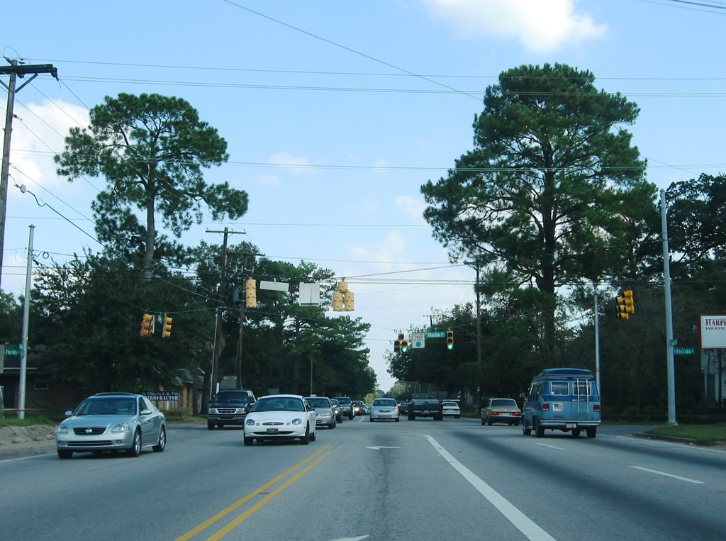
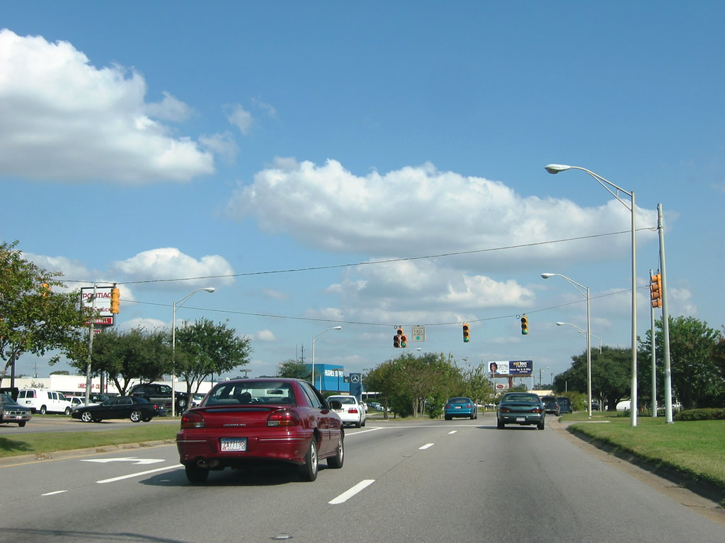
The landscaped median of Dauphin Street gives way to a center turn lane east from Sage Avenue to Florida Street. Florida Street is another secondary arterial linking U.S. 98 (Spring Hill Avenue) with U.S. 90 (Government Street) through Midtown Mobile.
East from the at-grade crossing with the Norfolk Southern Railroad, Dauphin Street transitions into residential areas.
10/31/03
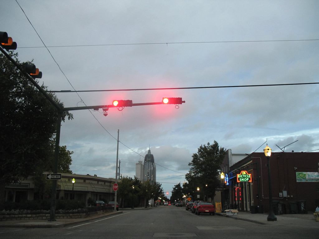
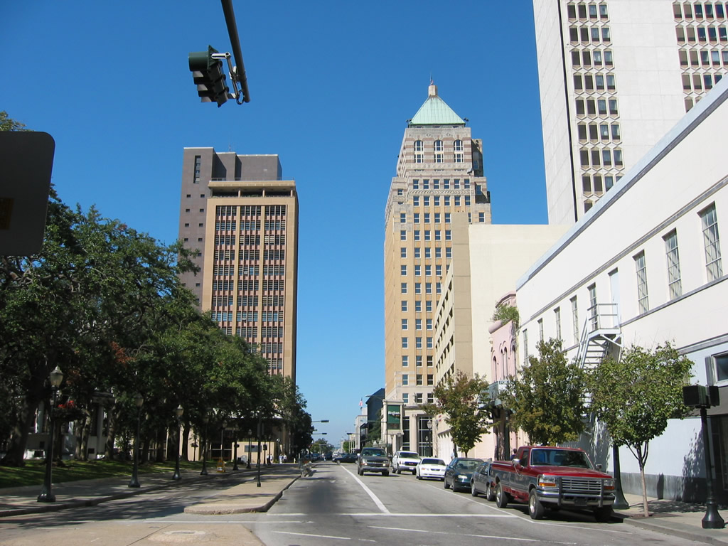
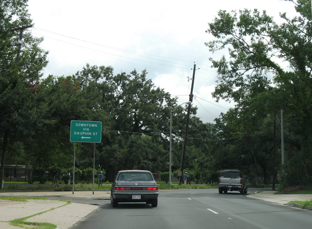
Spring Hill Avenue merges with Dauphin Street after their respective intersections with Washington Avenue at the beginning of the Lower Dauphin Entertainment District (LoDa).
09/17/06
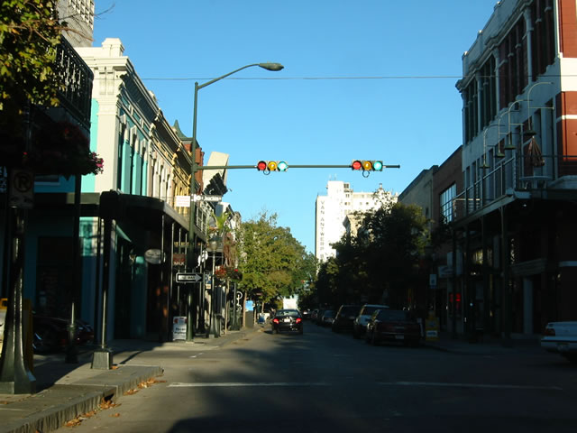
Dauphin Street at Joachim Street in the heart of the entertainment and theatre district in Downtown. Saenger Theatre is one block to the south while Bienville square is one block to the east.
09/17/06
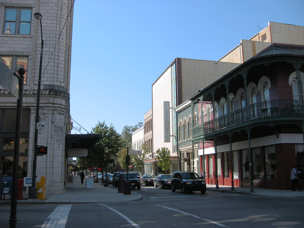
Dauphin Street east at Saint Joseph Street in the LoDa (Lower Dauphin Street Entertainment District). LoDa is an area of Downtown populated by bars, night clubs and other social gathering points.
10/24/03
Saint Joseph Street south at Dauphin Street. The former bus lane adjacent to Bienville Square was replaced with additional on-street parking by 2022. The city of Mobile considered converting St. Louis Street into a two-way street in 2003.
10/24/03
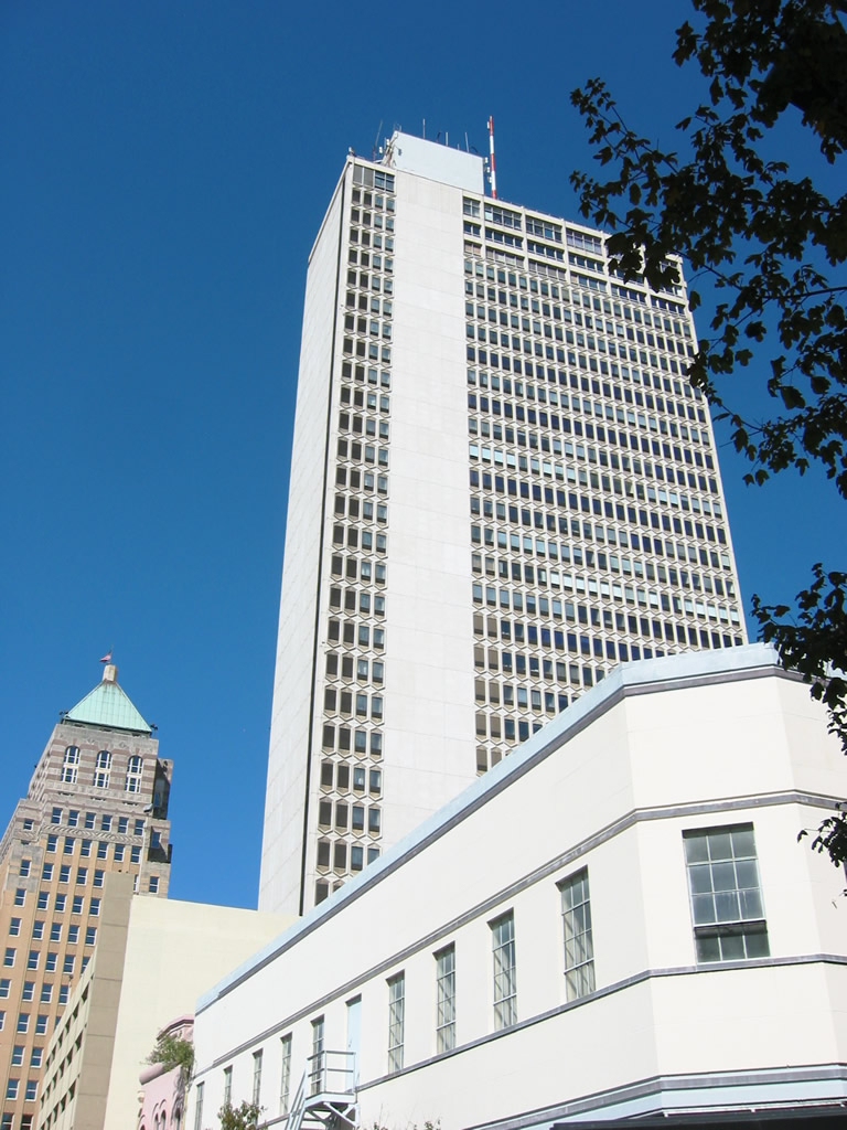
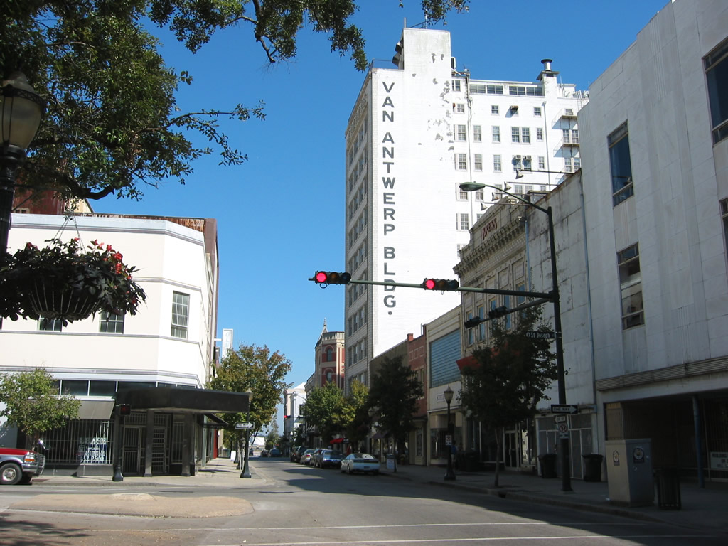
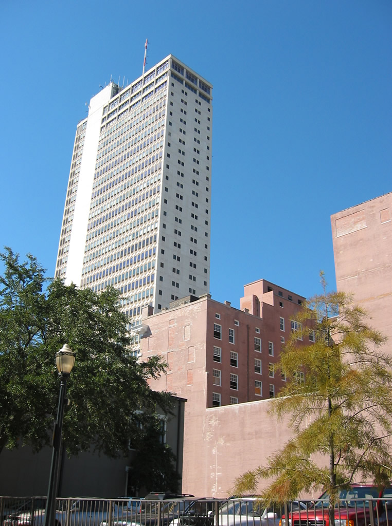
The RSA Trustmark Building towers above Bienville Square. This was the highest building in the city of Mobile until the 800 foot high, $160 million RSA Tower was completed in 2006.
10/24/03
The intersection of Dauphin and Royal Streets in Downtown Mobile.
10/24/03
Looking north at the RSA Trustmark Building (formerly the GM Building and the AmSouth Bank Building) from the corner of Dauphin and Royal Streets.
10/24/03
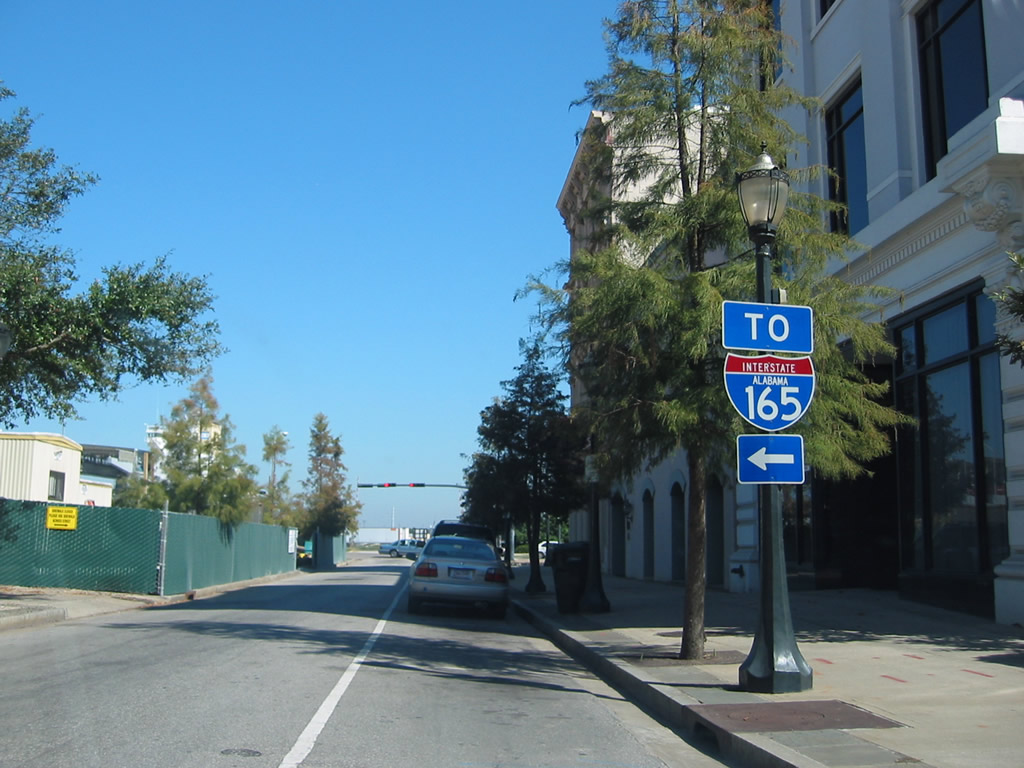
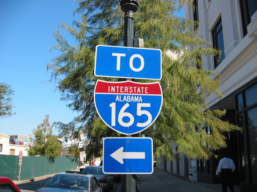
Interstate 165 trailblazer posted near the east end of Dauphin Street and across from the then-RSA Tower construction site.
10/24/03
Water Street travels nine blocks north from Dauphin Street to the beginning of Interstate 165.
10/24/03
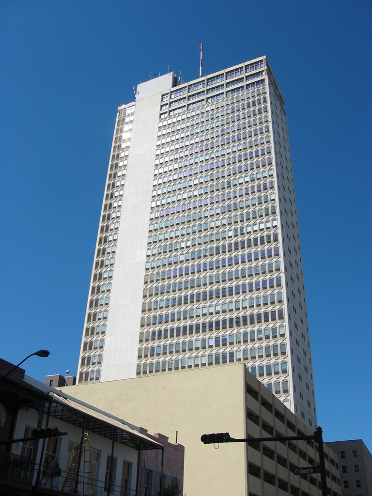
The RSA Trustmark Building as seen from the final block of Dauphin Street.
10/24/03
Dauphin Street ties into Water Street across from the Arthur R. Outlaw Mobile Convention Center, a CSX Railroad spur and the Mobile River.
10/24/03
Dauphin Street switches to two-way traffic west from the end of St. Francis Street adjacent to Broad Street.
07/16/07
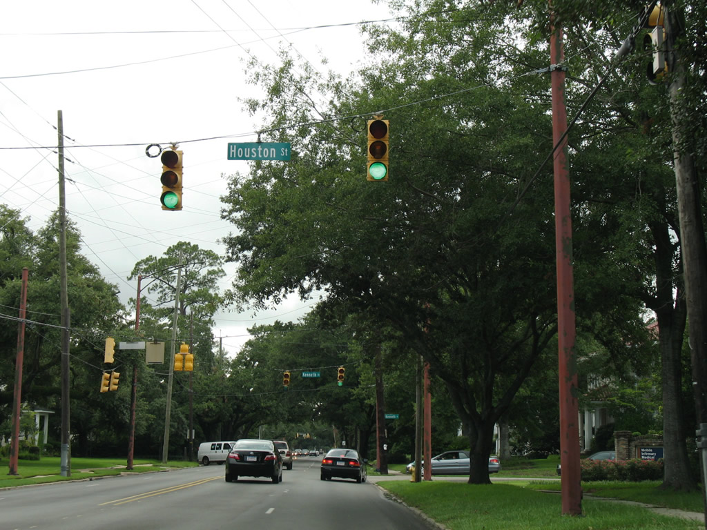
Succeeding traffic signals operate along Dauphin Street west at Houston Street south and Kenneth Street north. Houston Street connects with U.S. 90 (Government Street) and Duval Street.
07/16/07
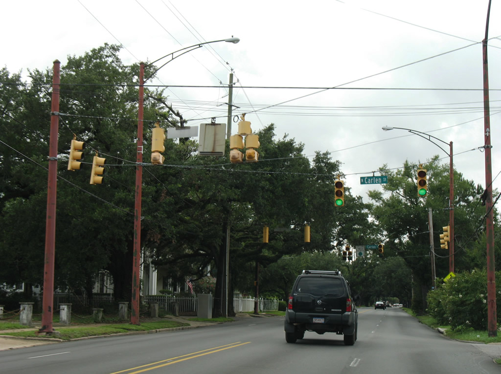
A staggered intersection links Dauphin Street with Carlen Street. Carlen Street connects with adjacent Old Shell Road and residential areas to the south.
07/16/07
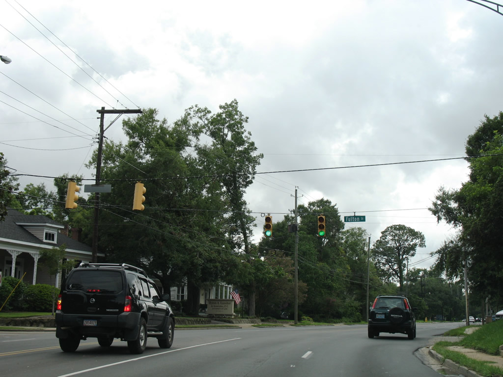
Dauphin Street bends northward at the intersection with Fulton Street. Fulton Street heads south from Old Shell Road to Old Government Street.
07/16/07
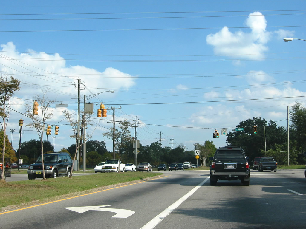
Dauphin Street transitions from a residential through street into a commercial arterial from Sage Avenue and Herndon Park west to I-65 and Springhill Medical Center.
07/16/07
A diamond interchange joins Interstate 65 with Dauphin Street at Exit 4.
07/16/07
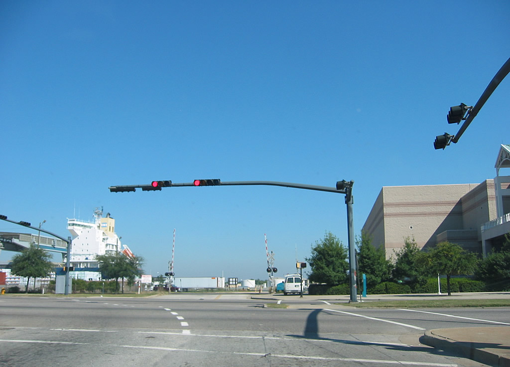
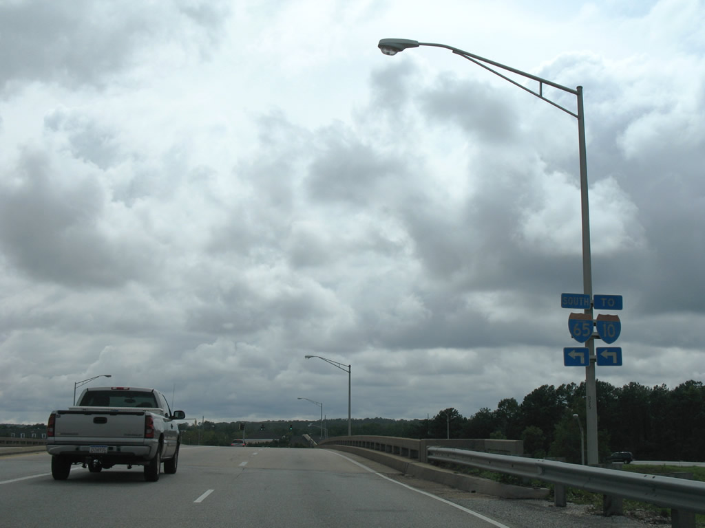
I-65 heads south from Dauphin Street to Airport Boulevard, U.S. 90 (Government Boulevard) and Interstate 10.
07/16/07
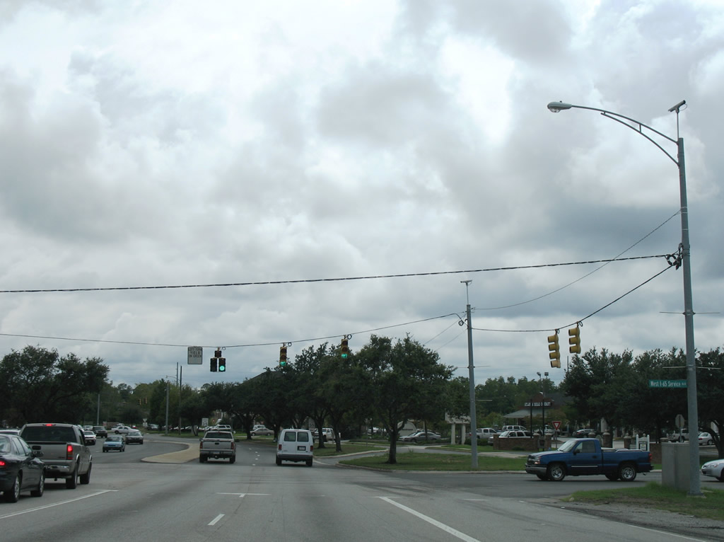
Serving an array of businesses, West I-65 Service Road leads north to Spring Hill Avenue and south to Airport Boulevard.
07/16/07
Rimes Road ties into Dauphin Street from Springhill College and Spring Hill Golf Course. The road connects with parallel Claridge Road North on the south side.
07/16/07
Photo Credits:
- Alex Nitzman: 10/24/03, 10/31/03, 09/17/06, 07/16/07
Page Updated Tuesday February 27, 2018.