
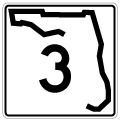
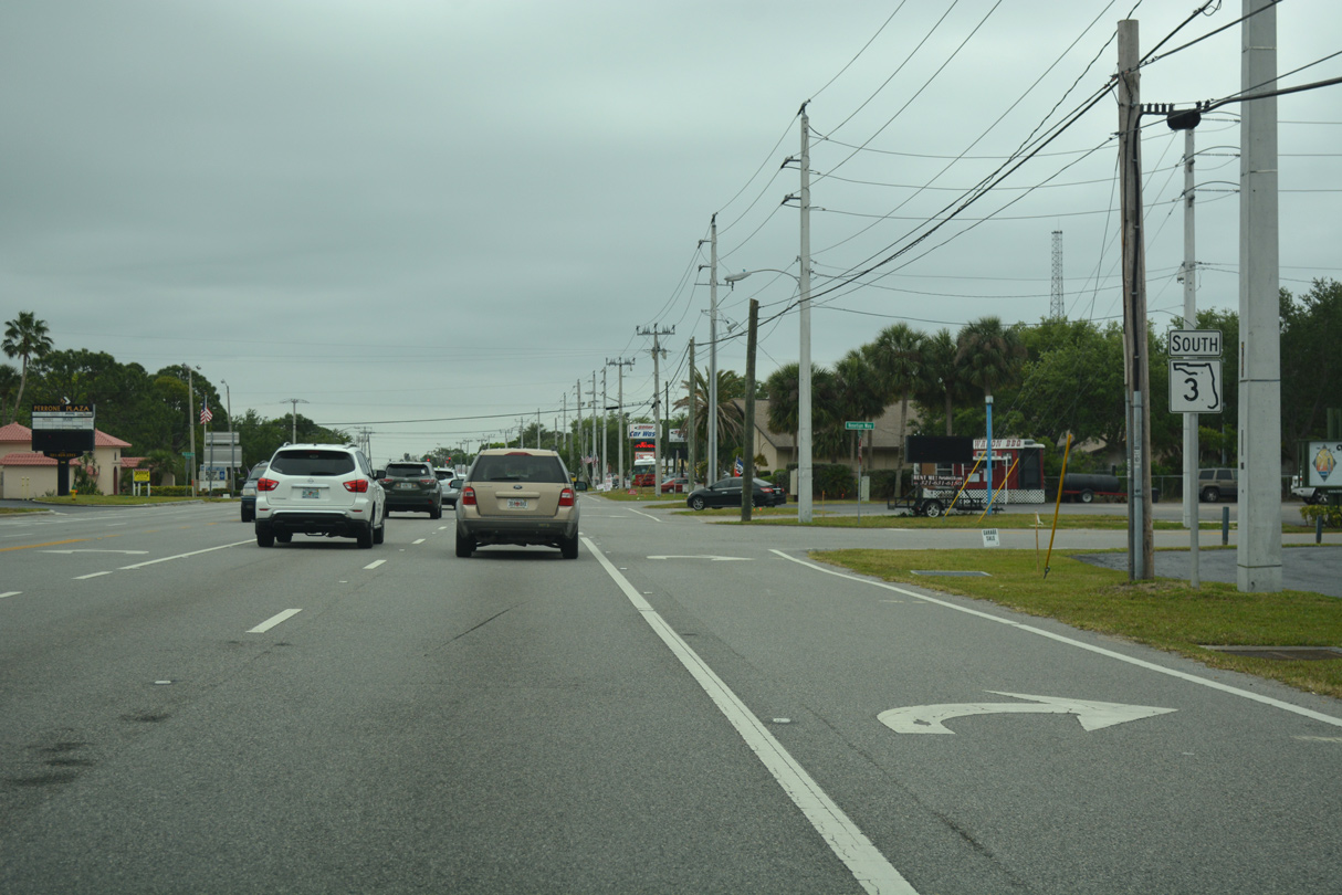
State Road 3 - Courtenay Parkway
State Road 3 (Courtenay Parkway) runs 11.27 miles north from SR 520 (Merritt Island Causeway) at Merritt Island to Indianola, Courtenay and SR 321 (Space Commerce Way) by the south boundary of Kennedy Space Center. Courtenay Parkway stretches 15 miles overall in Brevard County, from Rockwell to Merritt Island National Wildlife Refuge.
Courtenay Parkway south of SR 520 to Tropical Trail was formerly a part of the state road. Tropical Trail south from Courtenay Parkway is unsigned County Road 3. CR 3 (Tropical Trail) also parallels the parkway north to SR 520.
SR 3 was extended 1.51 miles north along Courtenay Parkway with the establishment of State Road 321 along Space Commerce Way. The extension and SR 321 were both inventoried in the FDOT Straight Line Diagrams on May 22, 2025.
CR 3 follows Tropical Trail 4.5 miles north from the Mathers Bridge joining Indian Harbor Beach with Merritt Island to SR 404 (Pineda Causeway).
03/31/18
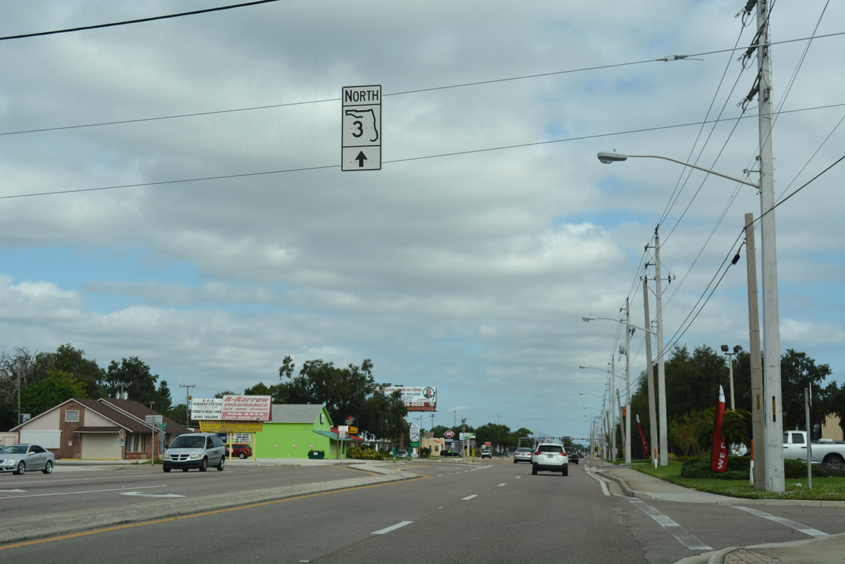
Posted just beyond SR 520, this is the lone shield northbound excluding the end assembly at John F. Kennedy Space Center.
10/21/18
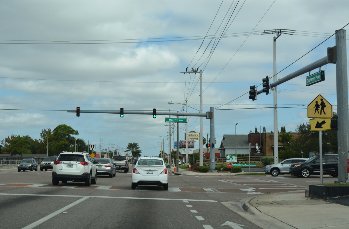
Merritt Avenue comprises a three to four lane boulevard west to Tropical Trail and east to Sykes Creek Parkway.
10/21/18
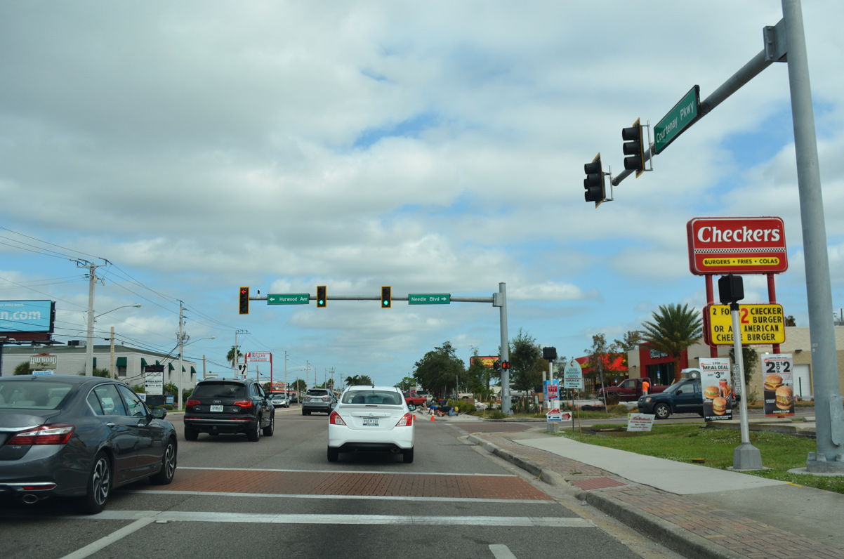
The traffic light along SR 3 (Courteney Parkway) at Hurwood Avenue west and Needle Boulevard east serves traffic to Edgewood Jr./Sr. High School.
10/21/18
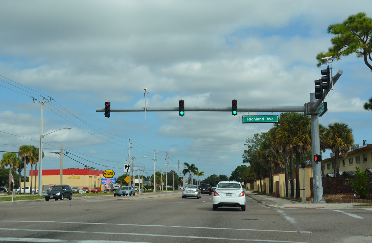
Richland Avenue ties into Courtenay Parkway across from a retail plaza at the succeeding traffic light on SR 3 north.
10/21/18

Catalina Isle Drive connects with SR 3 west from canal lined neighborhoods off Sykes Creek.
10/21/18
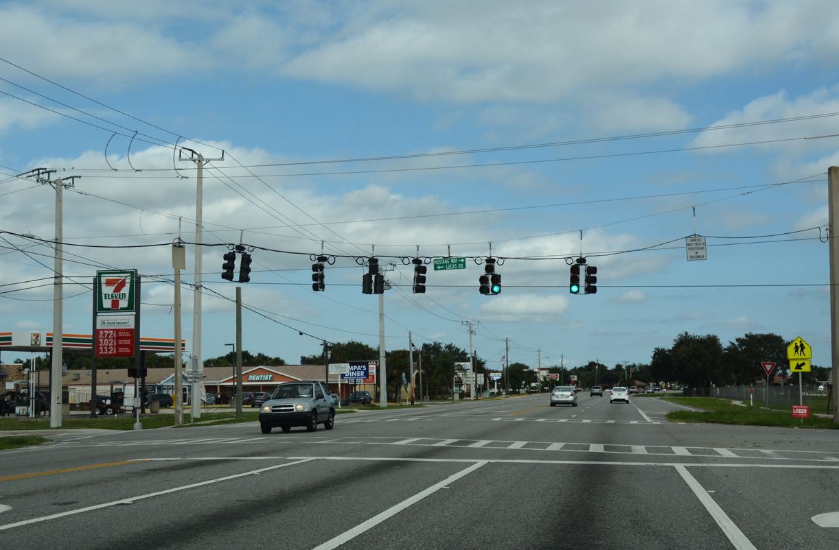
Lucas Road links SR 3 with Tropical Trail west from Courtenay Parkway at Mustang Way and Merritt Island High School.
10/21/18
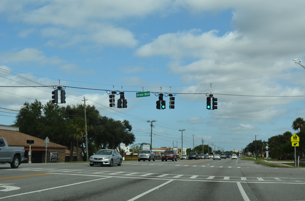
Grove Road intersects SR 3 between Merritt Island High School and an elementary school to the west.
10/21/18
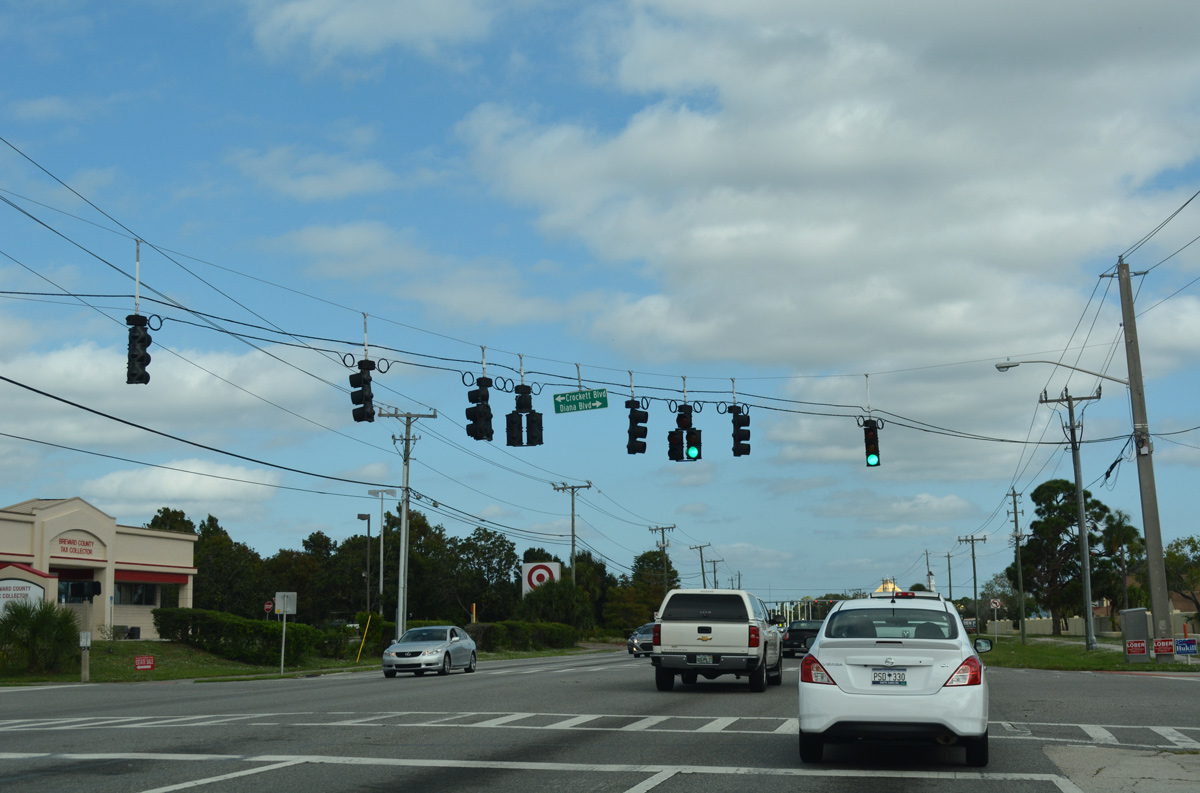
The seventh traffic light within the first two miles of SR 3 (Courtenay Parkway) northbound operates at Crockett Boulevard west and Diana Boulevard east.
10/21/18
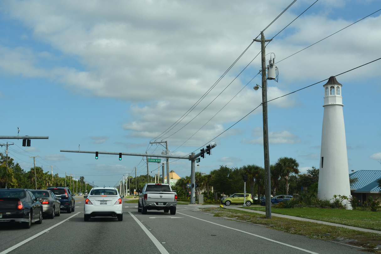
Florida Boulevard, entrance to the Waterway Manor subdivision, meets SR 3 across from Meadows Boulevard.
10/21/18
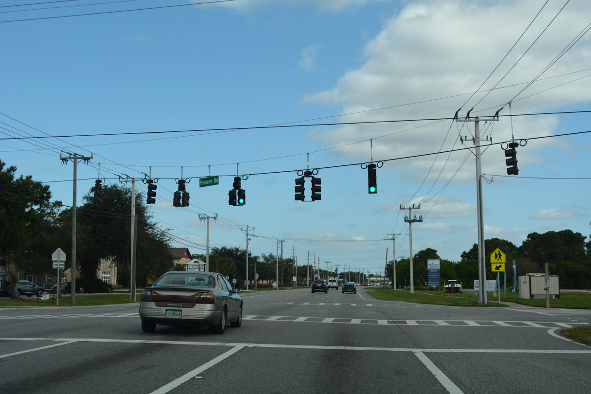
Pioneer Road crosses SR 3 east from Tropical Trail to Sykes Creek Drive.
10/21/18
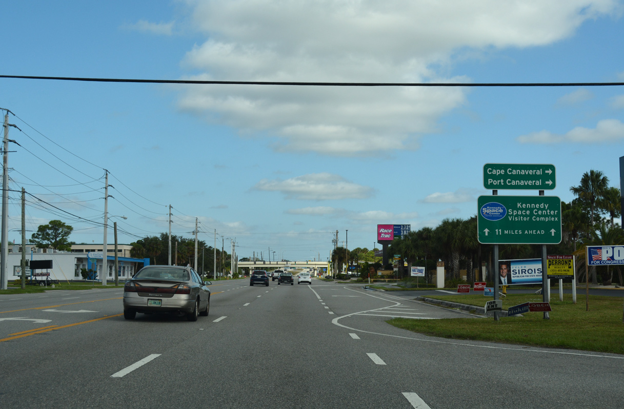
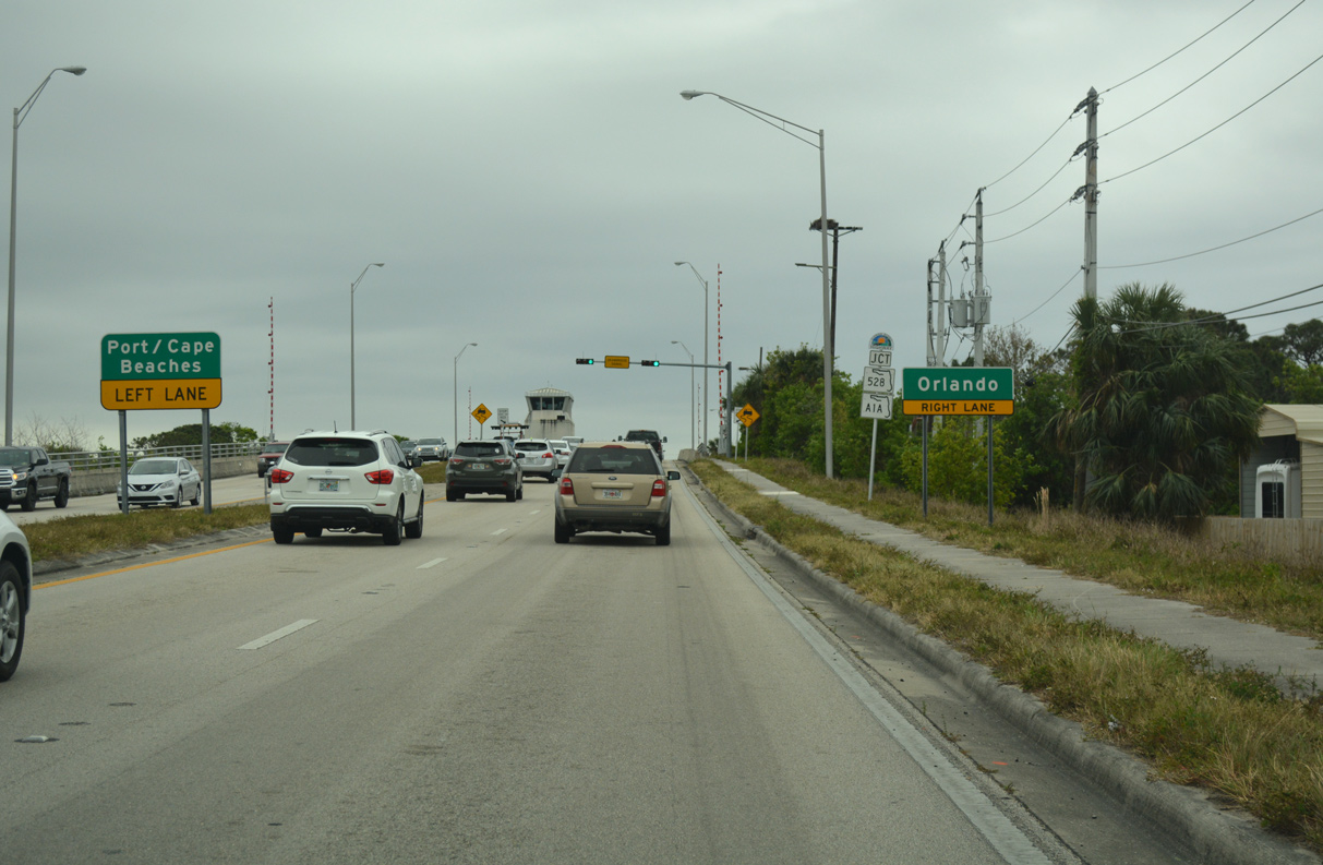
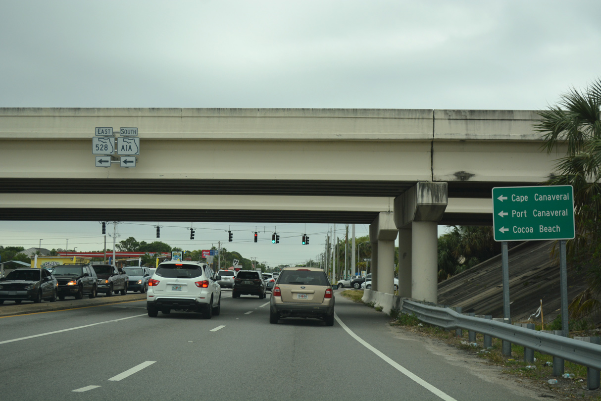
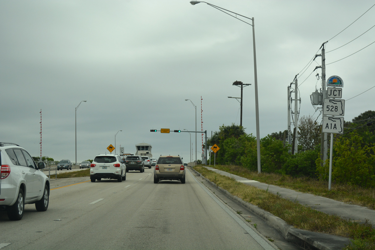
SR 3 meets SR A1A/528 (Bennett Causeway) 11 miles south of the Kennedy Space Center Visitor Complex. SR A1A/528 constitute a freeway across the Indian and Banana Rivers between Cocoa and Cape Canaveral.
10/21/18
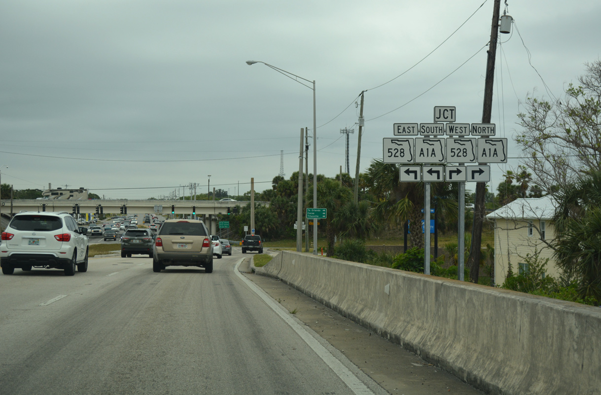
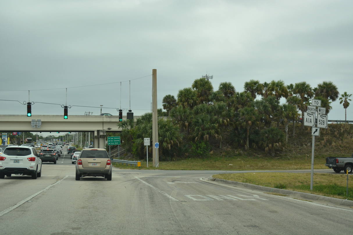
SR 3 (Courtenay Parkway) enters the diamond interchange with SR A1A/528 (Bennett Causeway) beyond Venetian Way. Future work will upgrade this exchange into a SPUI.
10/21/18
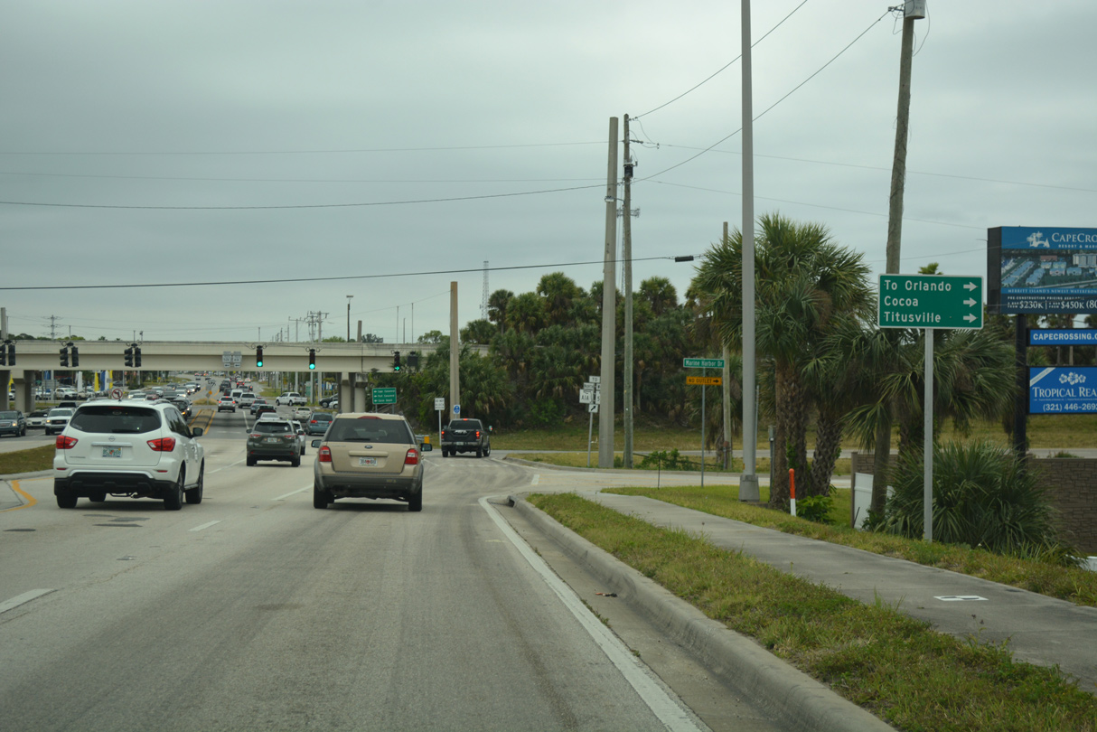
State Road 528 joins Cocoa and the Space Coast with Orlando via the tolled Martin Andersen Beachline Expressway.
03/31/18
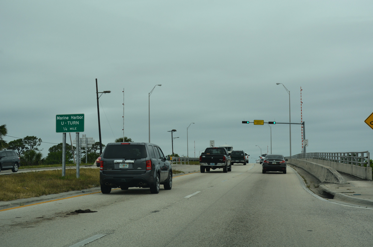
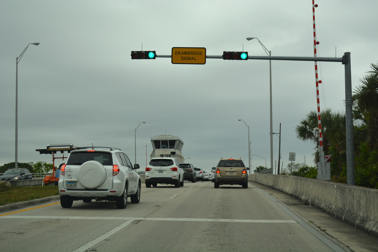
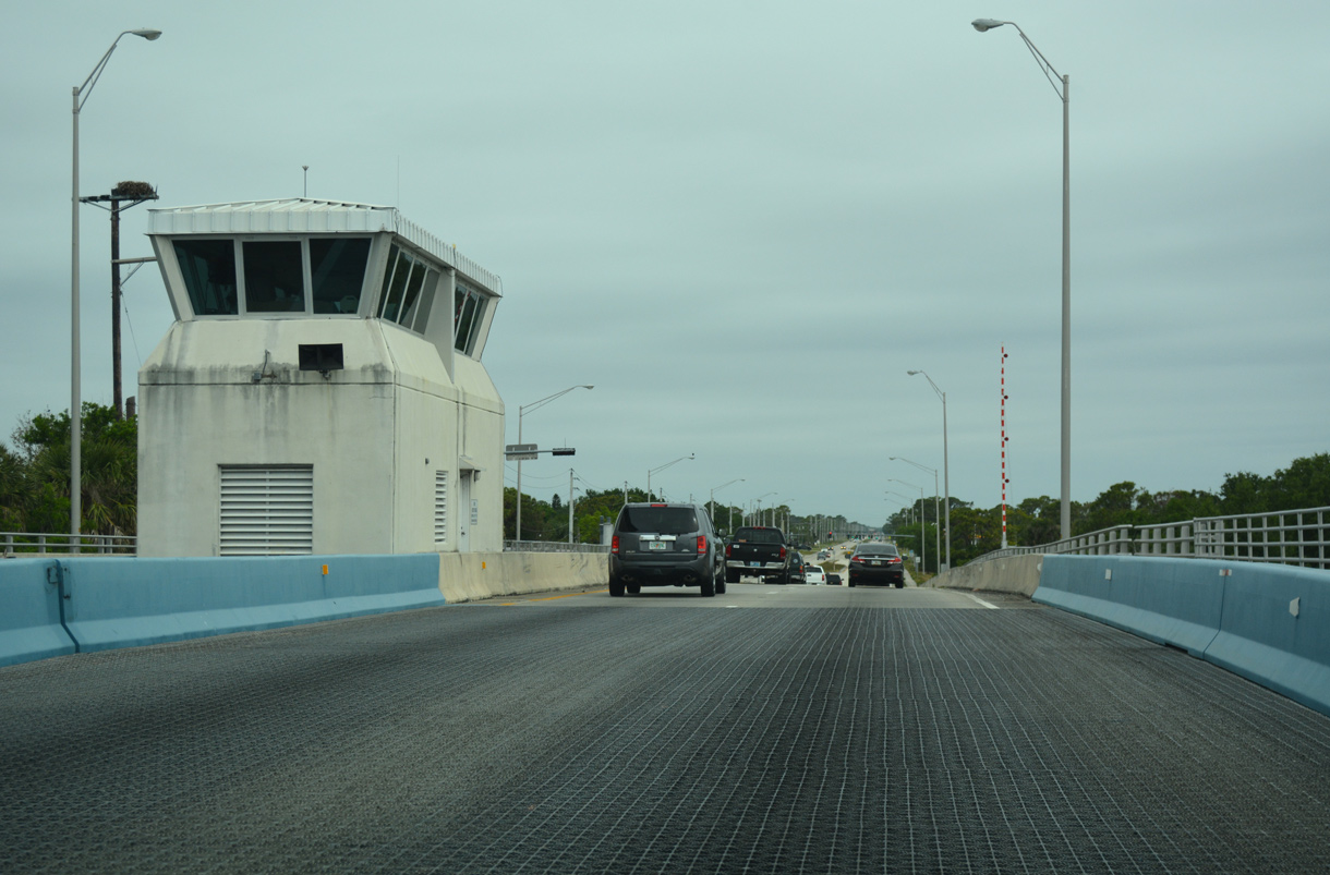
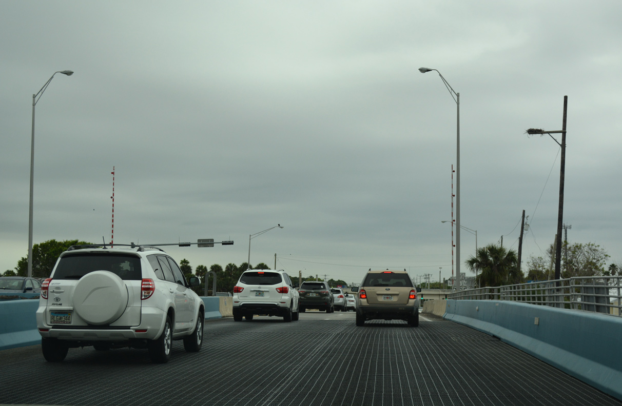
SR 3 (Courtenay Parkway) crosses the Canaveral Barge Canal to the immediate north of SR A1A/528 and Sea Ray Drive. The subsequent U-turn links with Marine Harbor Drive, which runs along the north side of Bennett Causeway to the west.
03/31/18
Separate bascule bridges take SR 3 across the Canaveral Barge Canal. Both measuring 297.9 feet in length, the northbound span was built in 1997 while the southbound crossing dates to 1961 (Baughn, n.d.a).
03/31/18
Traffic lights operate at the U-turn for Marine Harbor Drive along SR 3 north beyond the Canaveral Barge Canal.
03/31/18
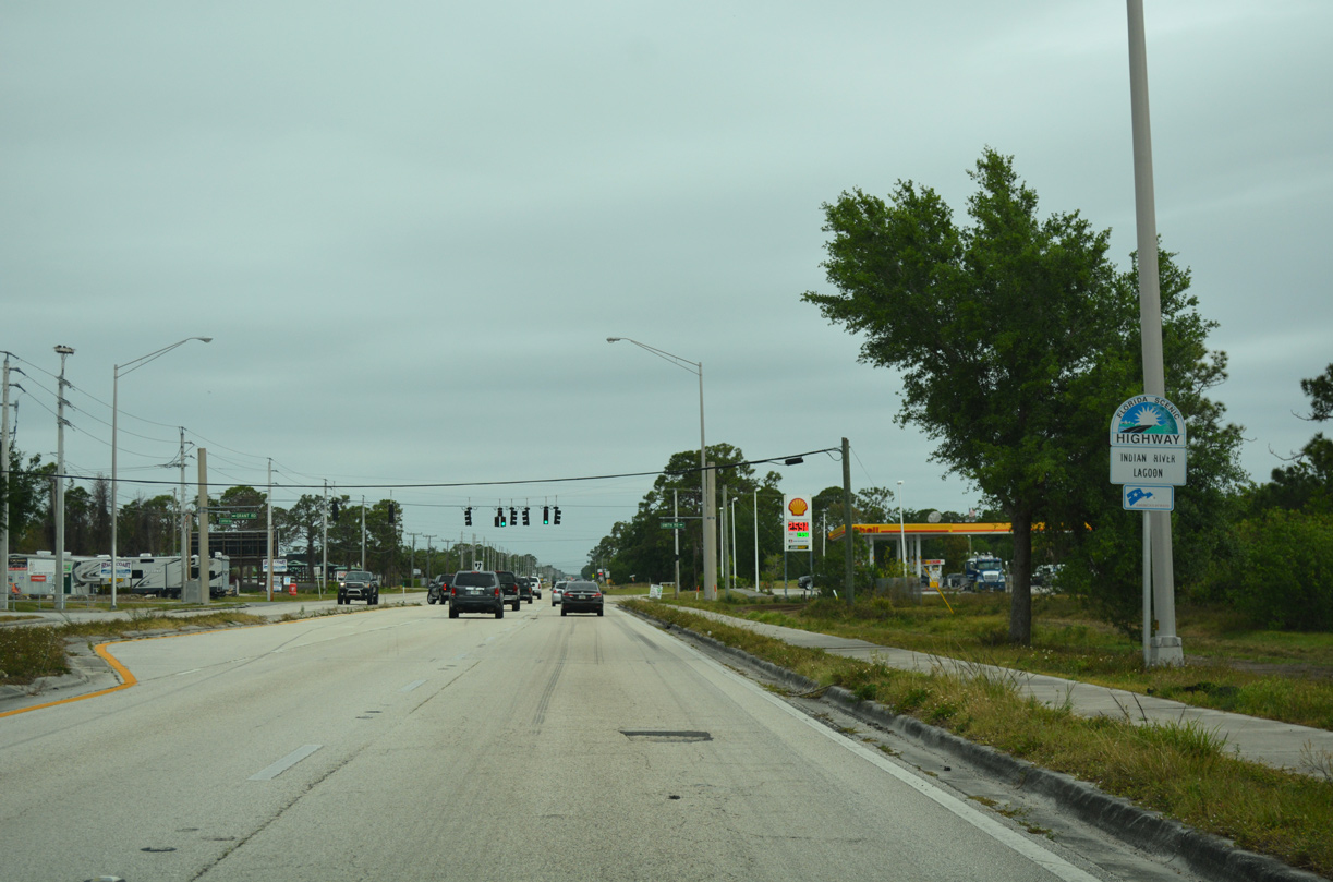
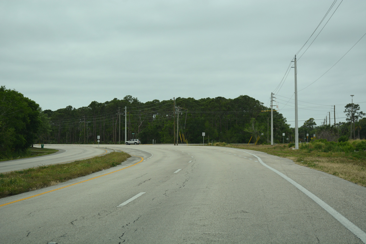
The Indian River Lagoon Florida Scenic Highway overlays Courtenay Parkway north from SR A1A into Merritt Island National Wildlife Refuge. Smith Road and Grant Road converge with SR 3 at the ensuing signal.
03/31/18
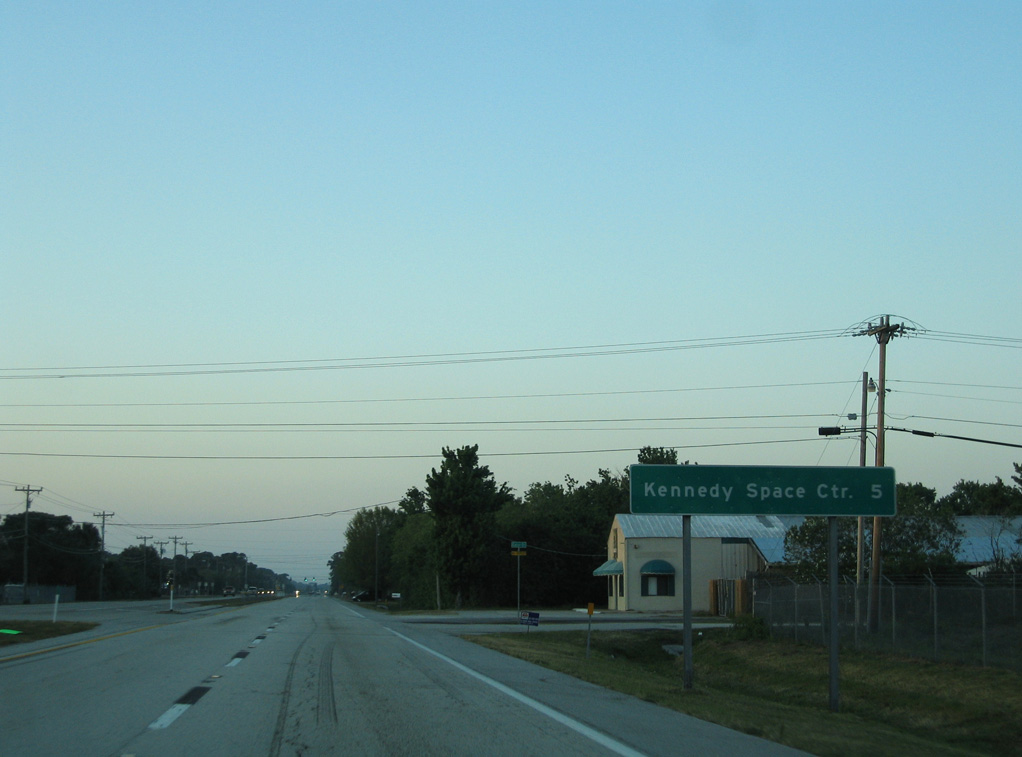
A distance sign for Kennedy Space Center was previously posted along SR 3 north at Gator Drive.
03/18/06
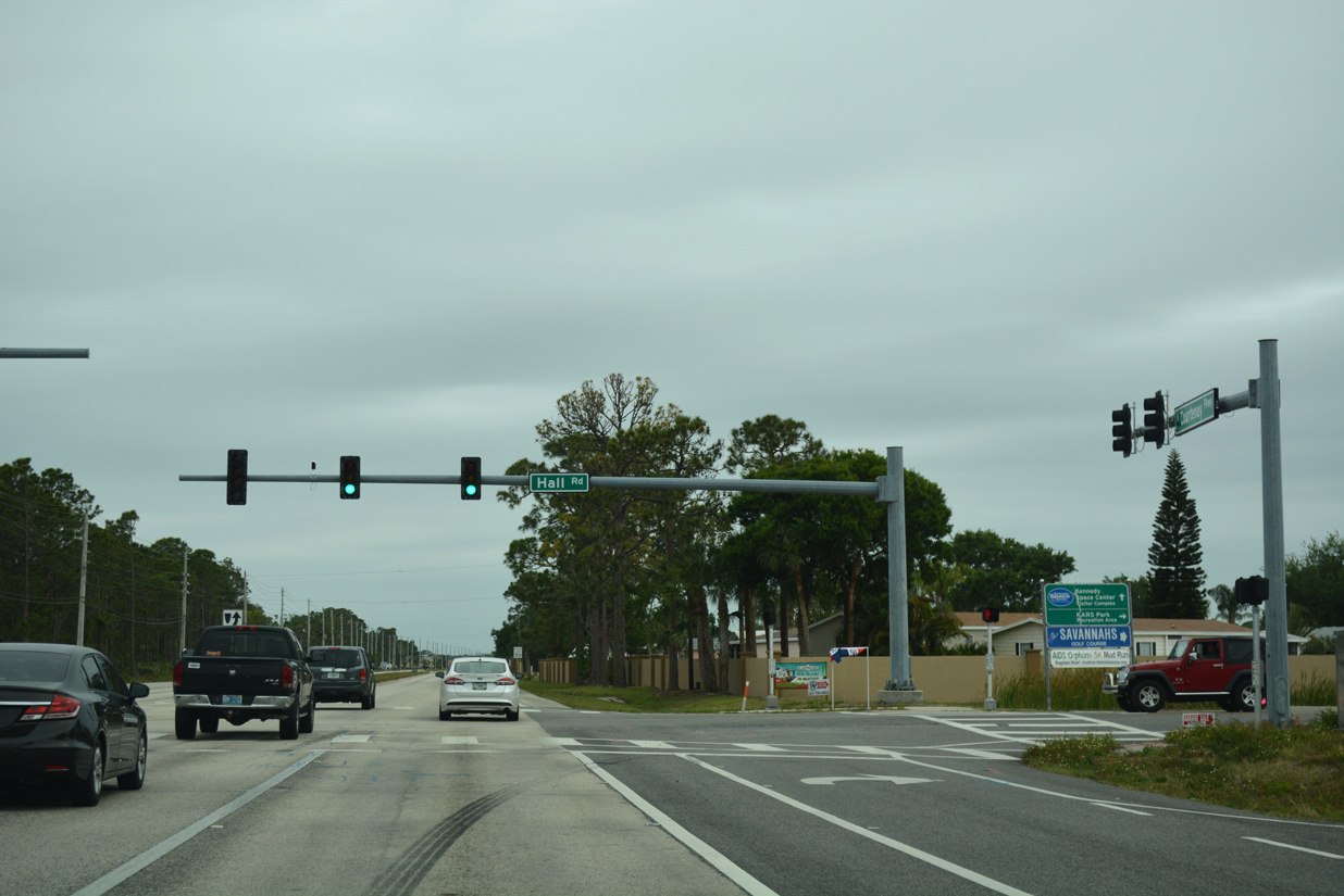
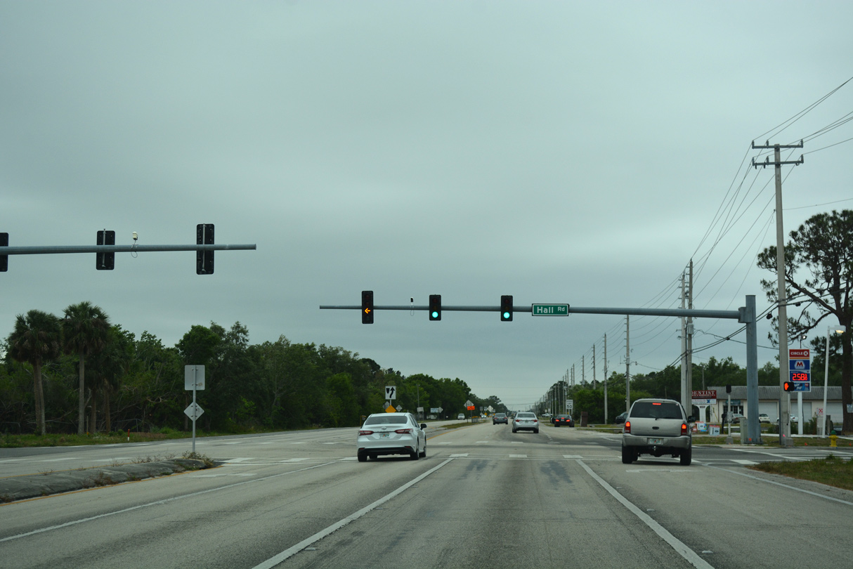
Hall Road leads east from SR 3 to The Savannahs Golf Course community and Kars Park along the Banana River. Mitchell Ellington Park lines the road westward to Tropical Trail.
03/31/18
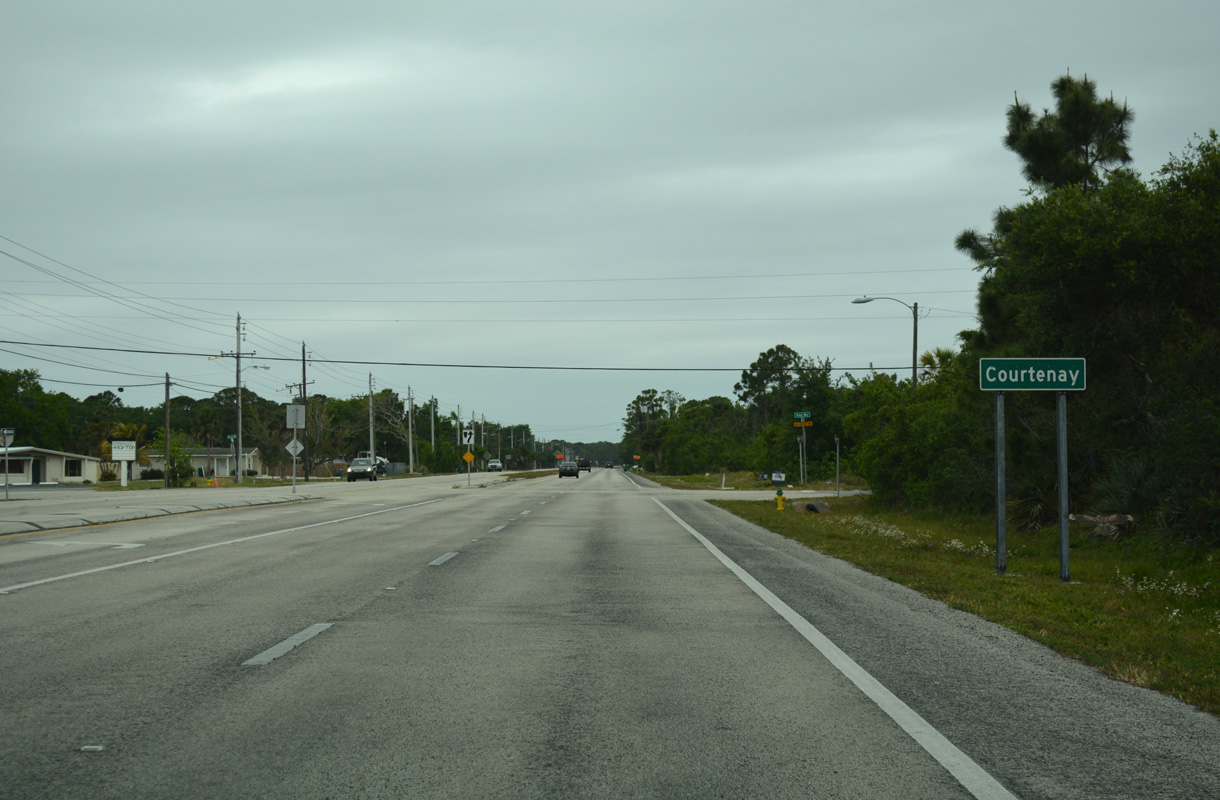
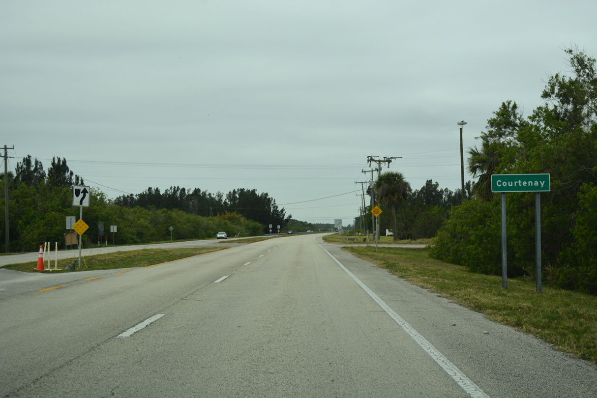
SR 3 passes through the unincorporated community of Courtenay prior to reaching the entrance into Kennedy Space Center.
03/31/18
Pine Island Road runs northwest from SR 3 at Judson Road to Pine Island Conservation Area along the Indian River.
03/31/18
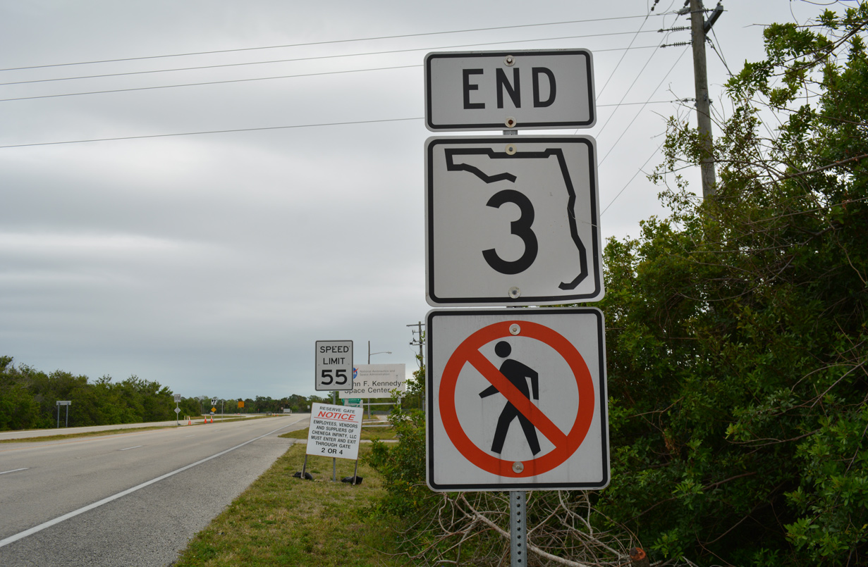
Prior to 2025, State Road 3 (Courtenay Parkway) ended at the boundary of Kennedy Space Center east of D'albora Road.
03/31/18
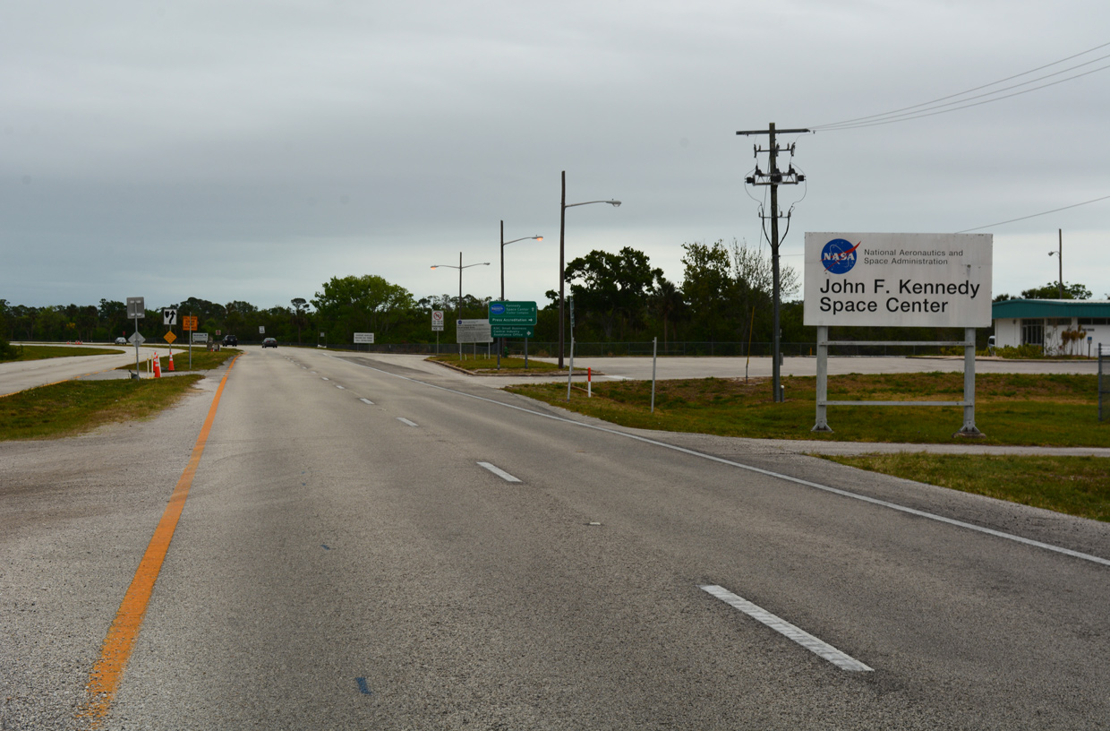
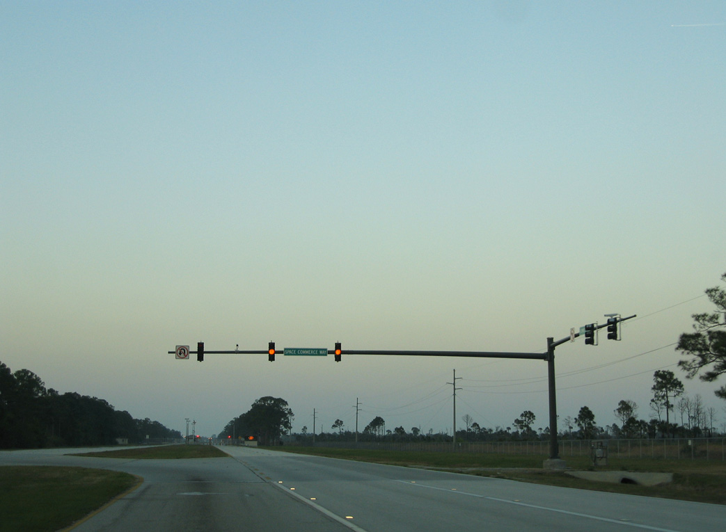
Kennedy Parkway S extends north from Courtenay Parkway 1.6 miles to Space Commerce Way. Space Commerce Way (SR 321) leads 2.67 miles to NASA Parkway and the Kennedy Space Center Visitor Complex.
03/31/18

Kennedy Space Center is also a part of Merritt Island National Wildlife Refuge.
03/18/06
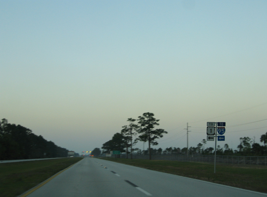
Trailblazers for I-95 and U.S. 1 direct motorists from Kennedy Parkway S onto Space Commerce Way.
03/18/06
Traffic is restricted along Kennedy Parkway S beyond the intersection with Space Commerce Way.
03/18/06
Exiting Kennedy Space Center, Kennedy Parkway S transitions onto SR 3 through the community of Courtenay.
03/31/18
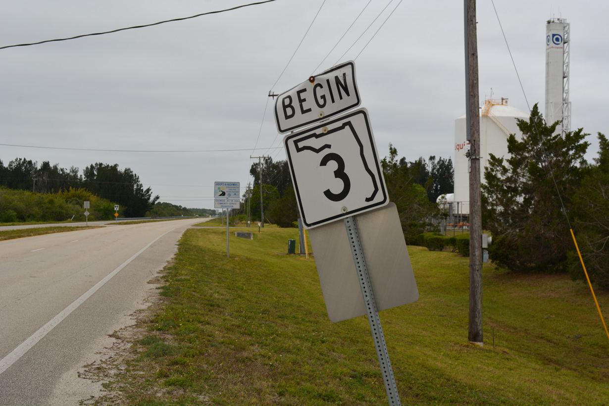
A begin shield for SR 3 stood along Courtenay Parkway southbound ahead of Simons Avenue / D'albora Road.
03/31/18
Tropical Trail branches west from SR 3 at the southerly turn of Courtenay Parkway. Split into discontinuous segments, Tropical Trail parallels SR 3 southward to Indianola and Merritt Island.
03/31/18
SR 3 (Courtenay Parkway) advances south to Hall Road by Mitchell Ellington Park.
03/31/18
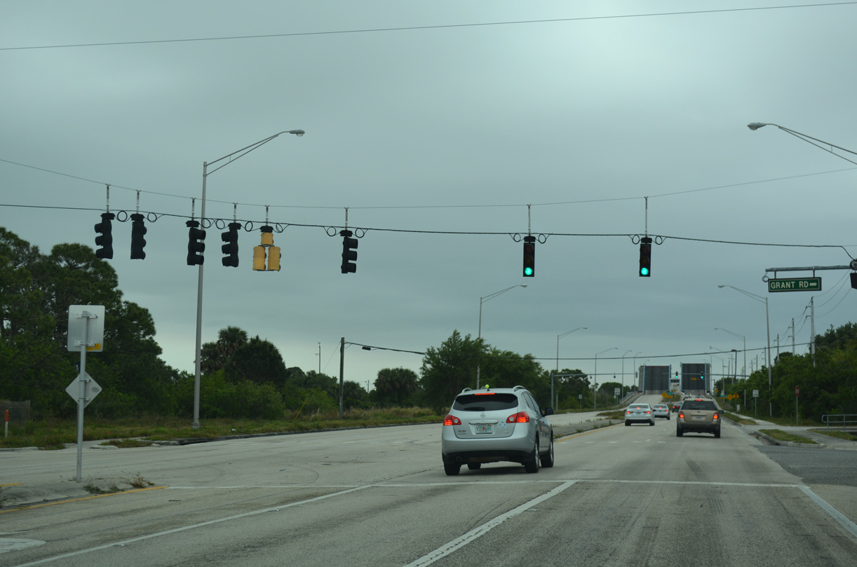
Grant Road connects SR 3 with Tropical Trail and subdivisions to the west. Smith Road spurs east toward Sykes Creek.
03/31/18
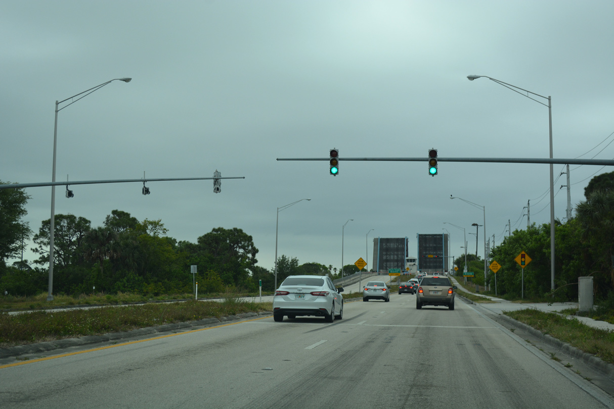
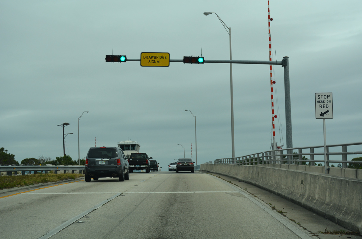
A U-turn signal for northbound traffic precedes the draw bridges taking SR 3 across the Canaveral Barge Canal.
03/31/18
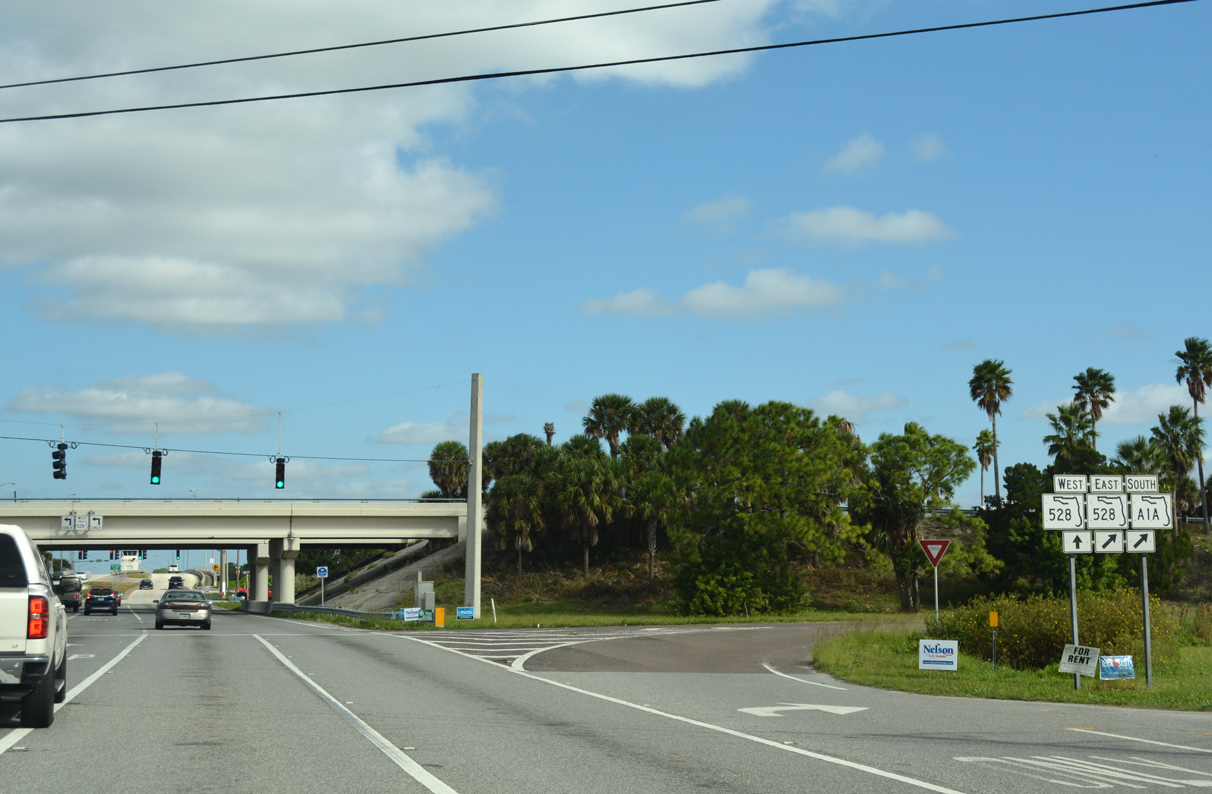
A diamond interchange joins SR 3 (Courtenay Parkway) with SR A1A/528 (Bennett Causeway) just beyond the Canaveral Barge Canal. SR A1A/528 overlap west to U.S. 1 at Cocoa and east to SR 401 and Port Canaveral.
03/31/18
The southbound bascule bridge over Canaveral Barge Canal was built in 1961 and rehabilitated in 1998 (Baughn, n.d.b).
03/31/18
SR A1A/528 cross the Indian River west from SR 3 to U.S. 1 at Cocoa. SR 528 continues from there along Martin Andersen Beachline Expressway to I-95, Orlando International Airport (MCO) and I-4 south at Orlando.
03/31/18
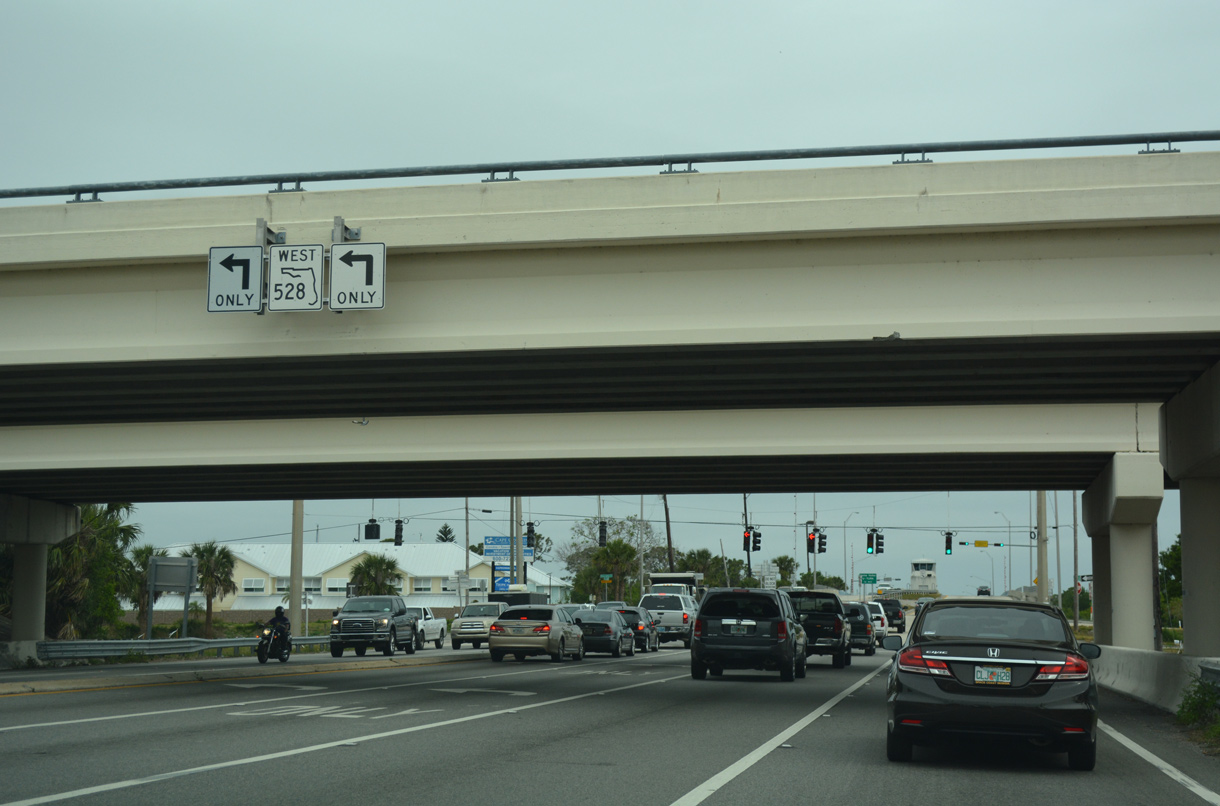
Work slated for 2027 will convert the exchange joining SR 3 with SR A1A/528 into a SPUI as part of an widening project along Bennett Causeway.
03/31/18
SR A1A turns south onto Astronaut Boulevard from the end of Bennett Causeway and SR 528 at Cape Canaveral to Cocoa Beach.
03/31/18
The lone confirming marker for SR 3 south stands between Bennett Causeway and Venetian Way. Venetian Way links Courtenay Parkway with the continuation of Tropical Trail south.
03/31/18
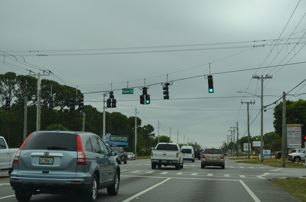
Pioneer Road links SR 3 with Tropical Trail to the west and Sykes Creek Drive at the Villa De Palmas development along Sykes Creek.
03/31/18
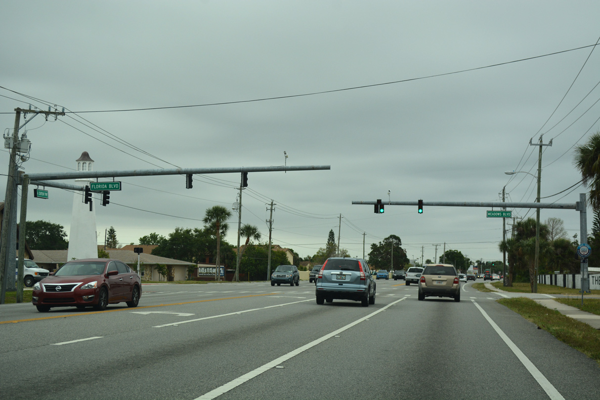
Meadows Boulevard intersects SR 3 (Courtenay Parkway) from the Carlton Groves neighborhood across from Florida Boulevard and the Waterway Manor canal lined subdivision.
03/31/18
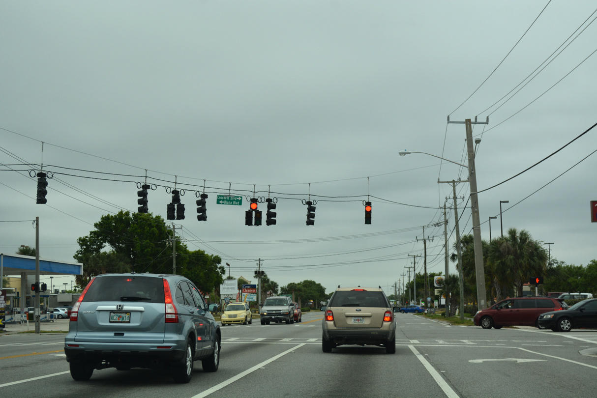
Crockett Boulevard winds east from Tropical Trail and the Croton River Estates subdivision to meet SR 3 across from Diana Boulevard. Diana Boulevard provides one of two entrances to the Diana Shores development along Sykes Creek.
03/31/18
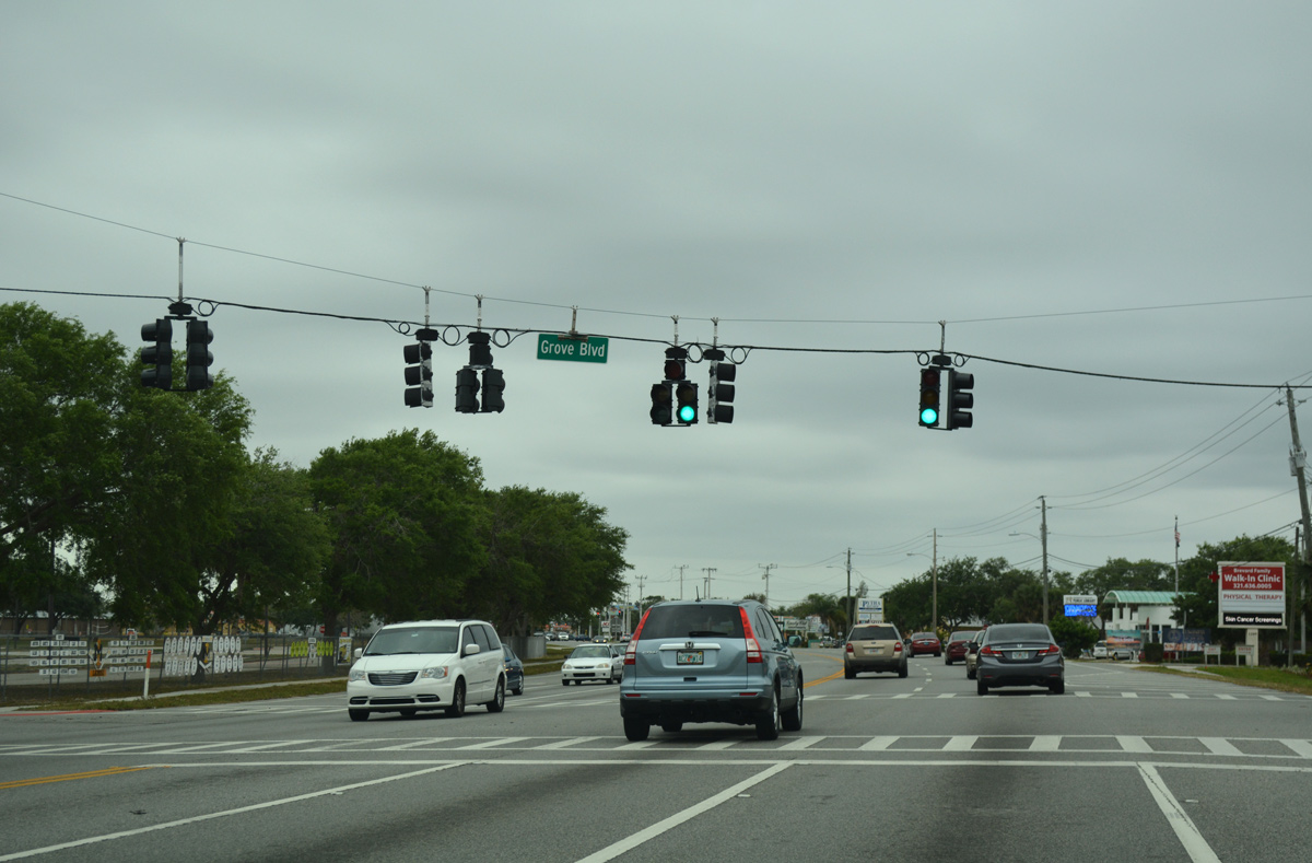
The signal at Grove Boulevard serves traffic to Merritt Island High School. Grove Boulevard leads west from SR 3 to the Orange Blossom Heights subdivision and Jordan Road south.
03/31/18
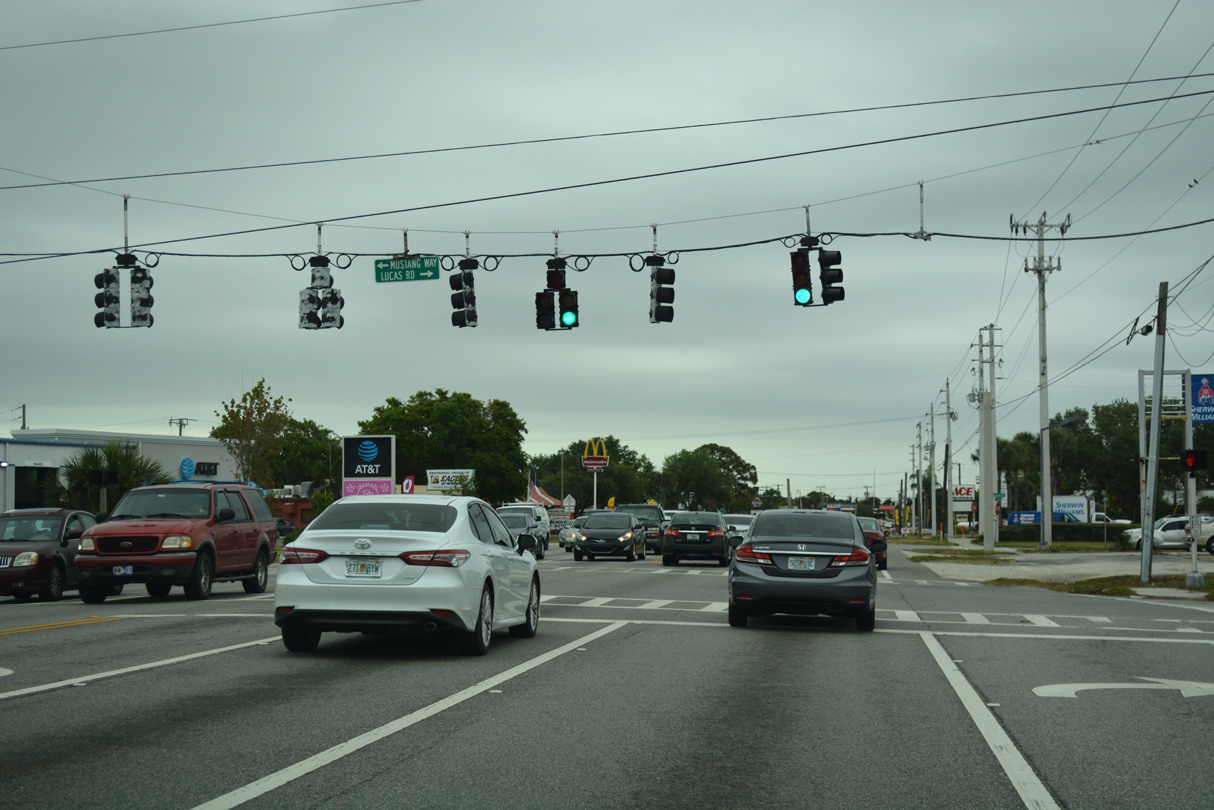
Lucas Road stem west from Mustang Way and Merritt Island High School to Tropical Trail by the Lucas Terrace subdivision.
03/31/18
Catalina Isle Drive ties into SR 3 (Courtenay Parkway) west from the Cataline Isle Estates canal based subdivision off Sykes Creek.
03/31/18
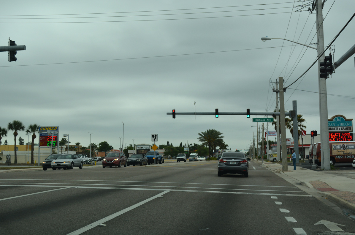
Richland Avenue stems east from a retail plaza and traffic light with SR 3 to the Skylark Estates and Cataline Isles Estates subdivisions.
03/31/18
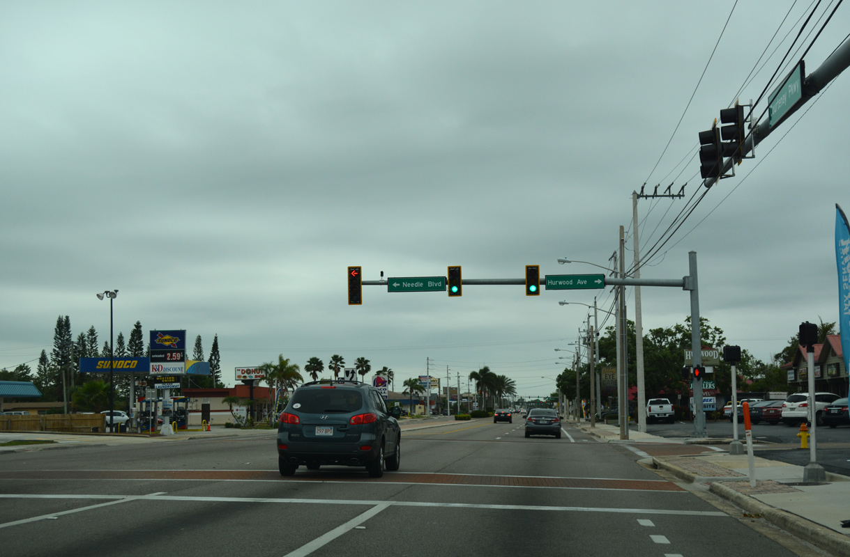
Needle Boulevard west from Hampton Homes and Hurwood Avenue east from the Hibiscus Park neighborhoods come together at the ensuing signal along SR 3 southbound.
03/31/18
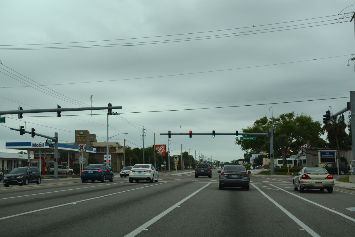
Merritt Avenue crosses Courtenay Parkway at the Merritt Park Place community. The multi lane boulevard leads west to Tropical Trail and east to Sykes Creek Parkway.
03/31/18

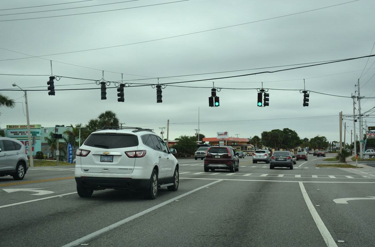
State Road 3 concludes at the commercialized intersection with SR 520 (Merritt Island Causeway). Merritt Island Causeway joins the cities of Cocoa and Cocoa Beach.
03/31/18
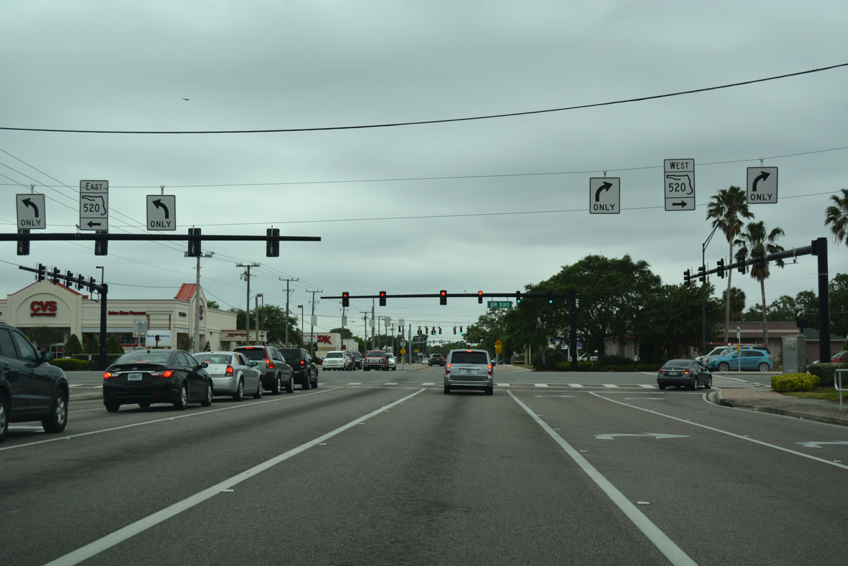
SR 520 travels 34.7 miles northwest from SR A1A and the Space Coast to SR 50 east of Bithlo and the Orlando metropolitan area.
03/31/18

Courtenay Parkway continues south from SR 3 and SR 520 (Merritt Island Causeway) as an unnumbered arterial to Magnolia Avenue.
03/31/18
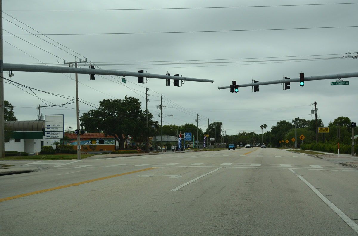
Fortenberry Road runs along the south side of the retail strip along SR 520 to Merritt Square Mall and Sykes Creek Parkway.
03/31/18
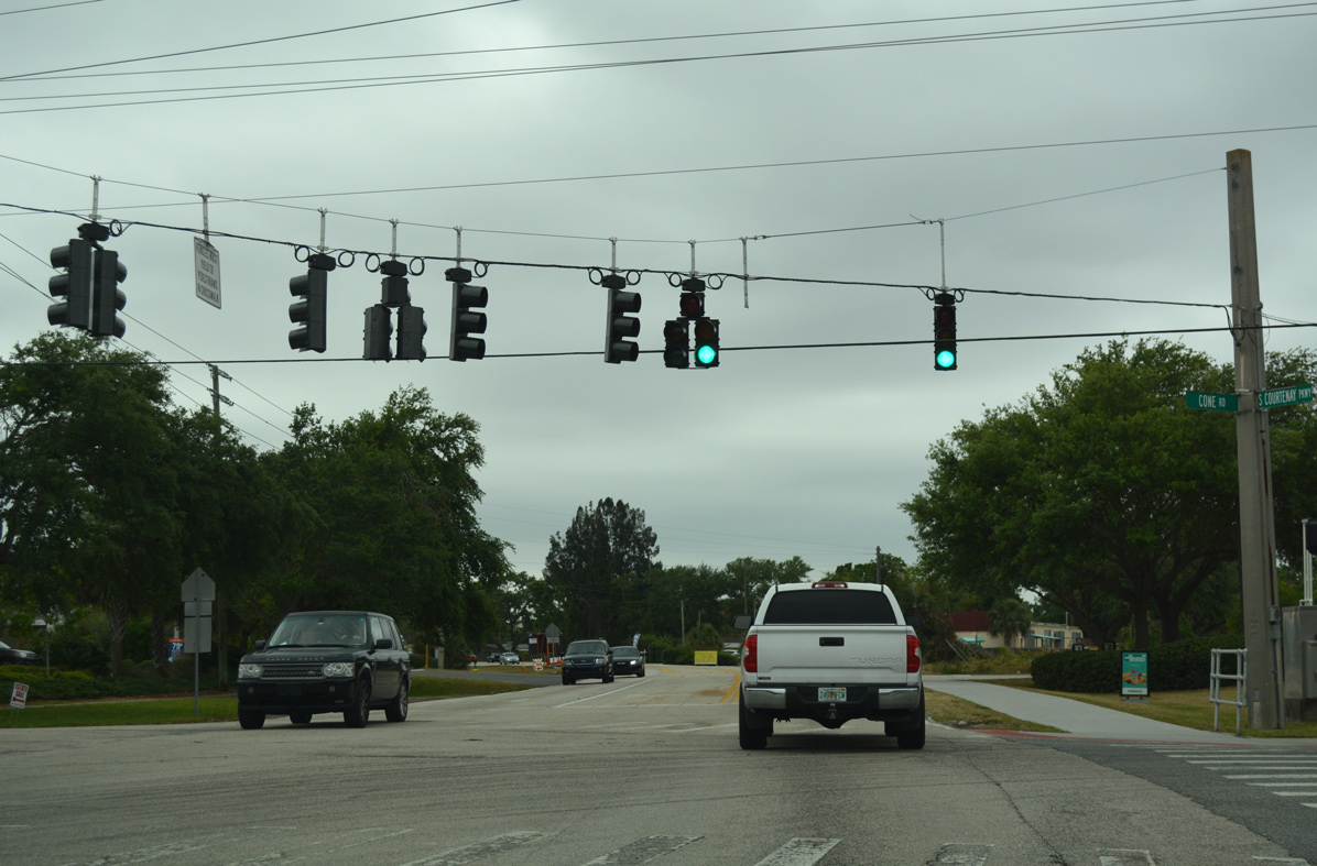
Cone Road connects Courtney Parkway with Tropical Trail (unsigned CR 3) to the west and industrial parks along the north side of Merritt Island Airport (COI).
03/31/18
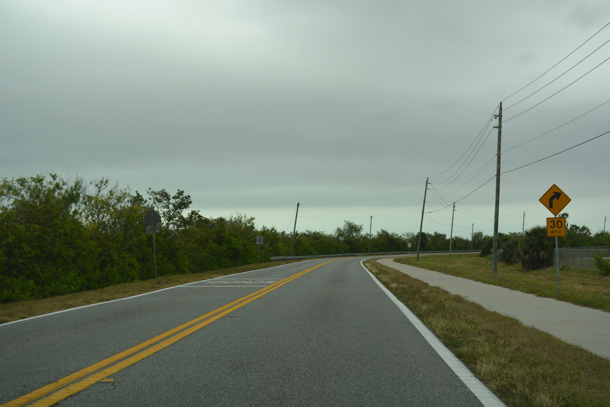
Courtenay Parkway angles southeast to the community of Footman, transitioning to a rural highway beyond Jefferson Middle School.
03/31/18
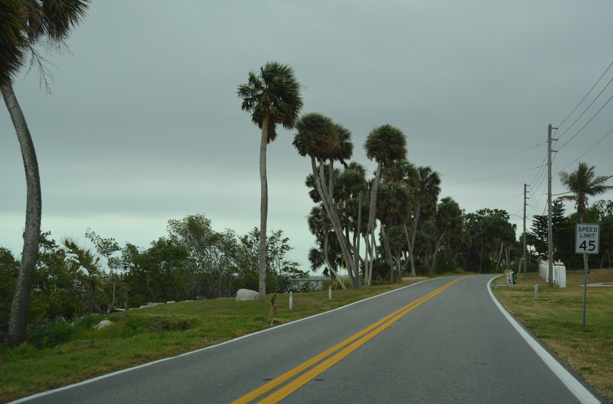
Paralleling the Banana River, Courtenay Parkway heads south by Rotary Park-Merritt Island.
03/31/18
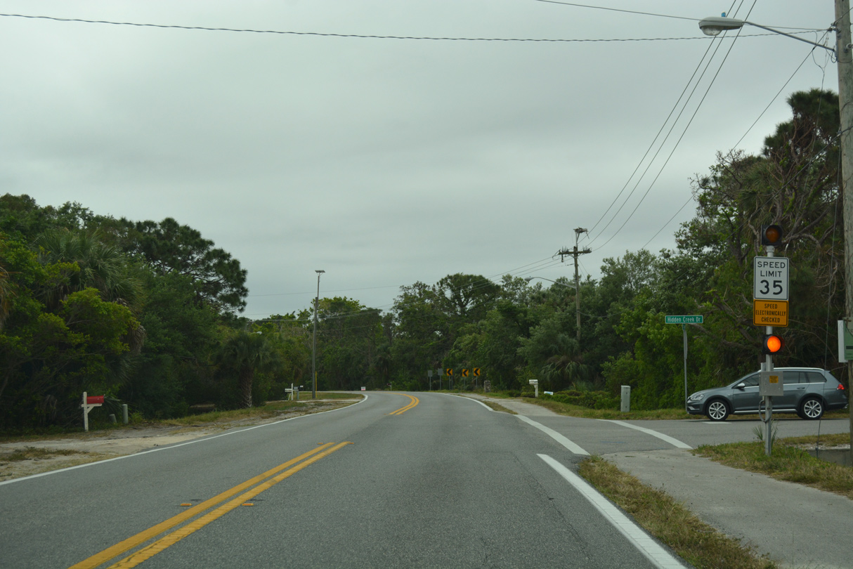
Hidden Creek Drive links Courtenay Parkway with Tropical Trail (CR 3) across the Hidden Creek subdivision.
03/31/18
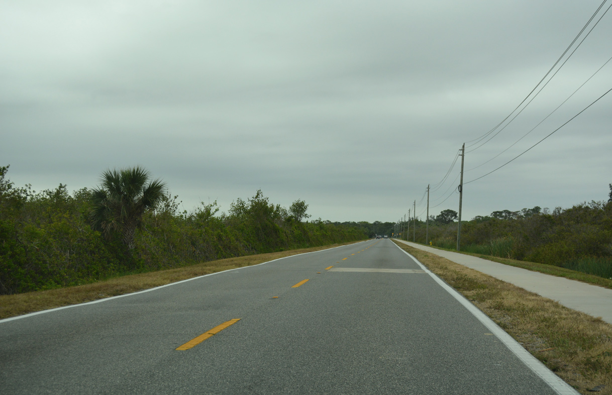
Tropical Trail (CR 3) overtakes Courtenay Parkway south from Rockwell and Georgiana.
03/31/18
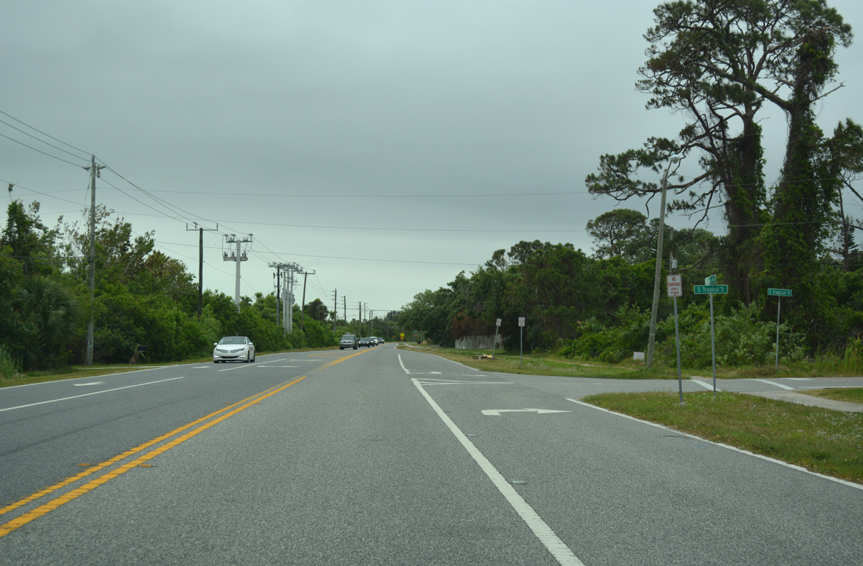
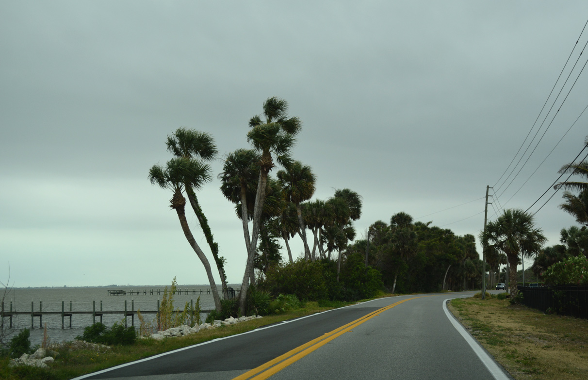
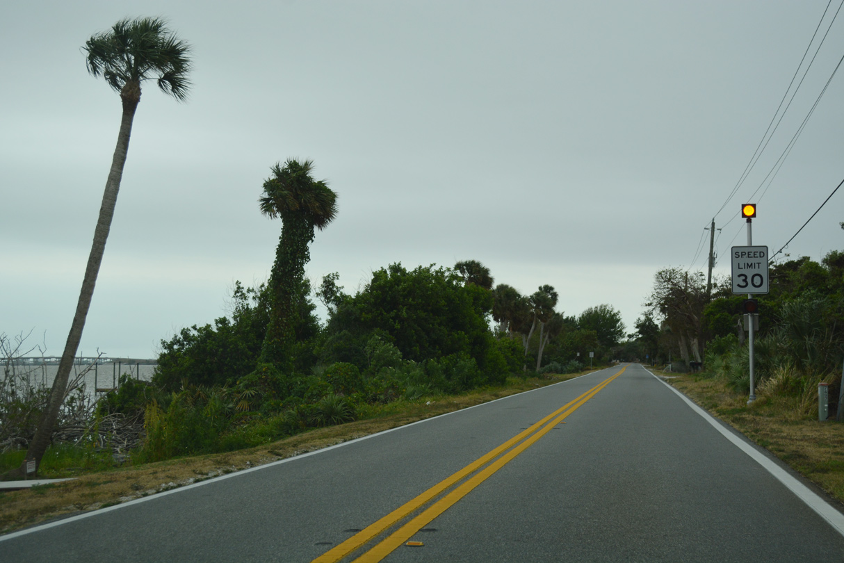
Straddling the west banks of the Banana River, Tropical Trail (CR 3) extends six miles southward on Merritt Island to Pineda Causeway.
03/31/18
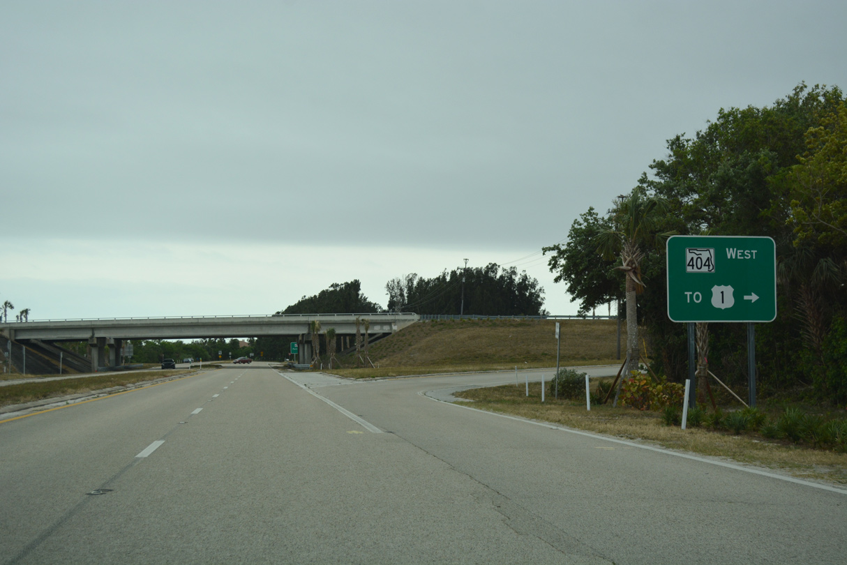
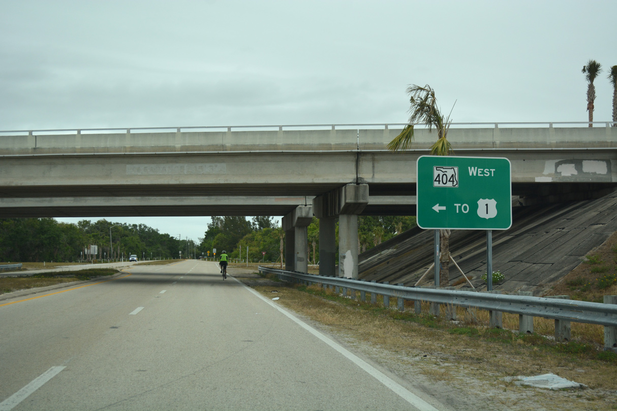
A diamond interchange joins CR 3 (Tropical Trail) with SR 404. Pineda Causeway comprises a controlled access roadway west to U.S. 1 at Palm Shores.
03/31/18
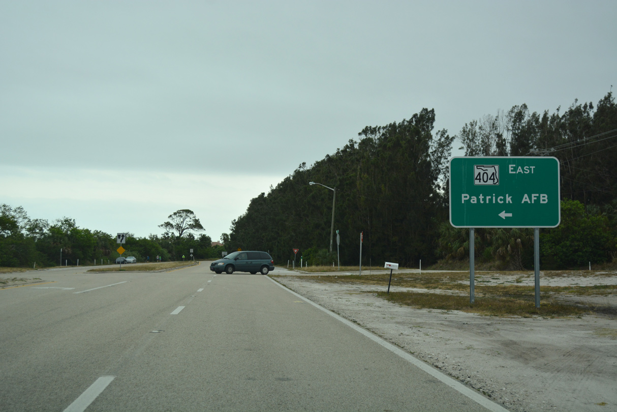
SR 404 spans the Banana River east along an expressway to SR 513 at Patrick Air Force Base and SR A1A at South Patrick Shores.
03/31/18
References:
Baughn, J. (n.d.) SR-3 over Barge Canal, Brevard County, Florida. BridgeReports.com. https://bridgereports.com/1084363
Baughn, J. (n.d.) SR-3 over Barge Canal, Brevard County, Florida. BridgeReports.com. https://bridgereports.com/1084249
Photo Credits:
- ABRoads: 03/31/18
- Alex Nitzman: 10/21/18
- Alex Nitzman, Justin Cozart: 03/18/06
Connect with:
Page Updated Monday January 26, 2026.